
World maps printed between 1800 and 1899: school atlases, thematic maps of plants, animals and the compass, and nineteenth-century facsimiles of medieval world maps. Each is restored from a named library scan and ready to print at 300 dpi.
The world on maps of the 1800s
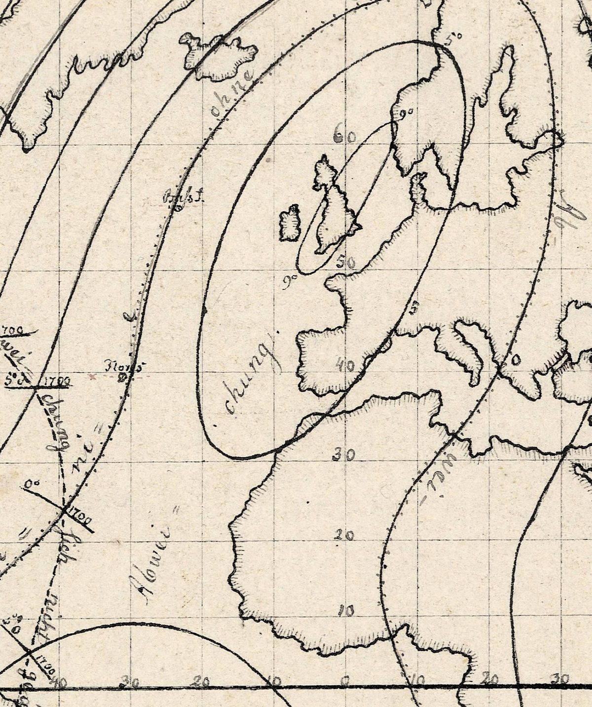
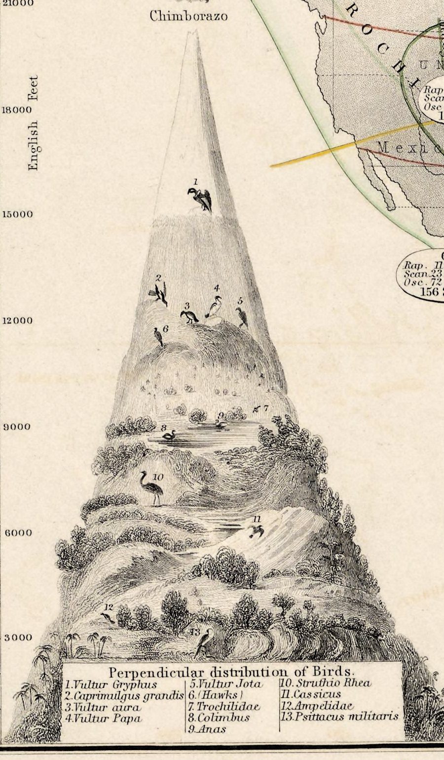
By 1800 most coastlines were known — Wallis’s map of that year already shows New South Wales and Botany Bay — though the interior of Africa was still largely blank on Emma Willard’s map of 1839. So world maps began to show other things: where the compass pointed, in Hansteen’s declination maps; where plants and birds live, in Johnston’s Physical Atlas of 1848; the routes to the California gold fields, on Burr’s map of 1850; how many emigrants crossed the oceans in 1858, in Minard’s flow map; which drugs came from which country, in Barber’s pharmaceutical map of 1870.
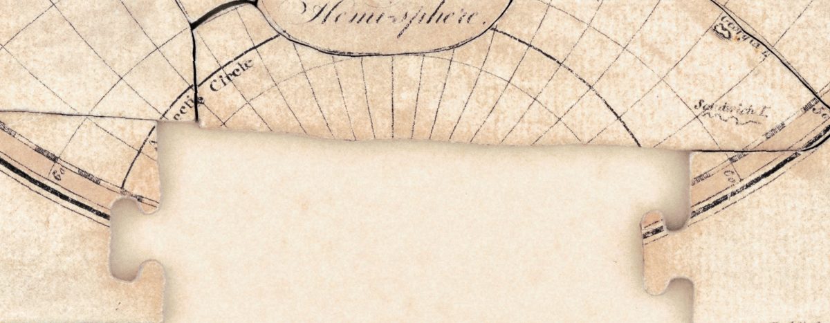
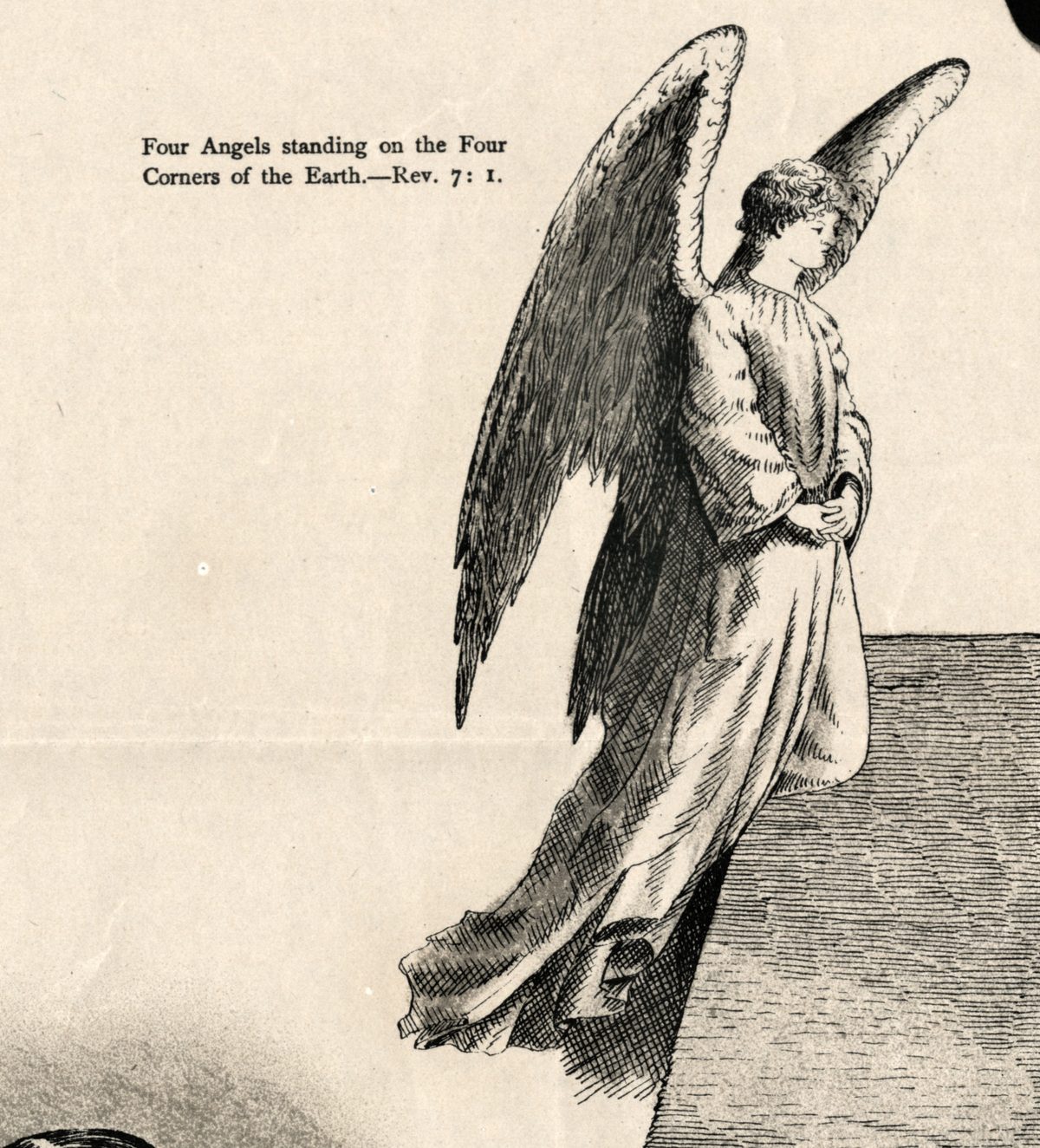
The century also played with the map. Wallis sold his world map of 1800 cut into a jigsaw puzzle of 54 pieces; Stieler laid the two hemispheres over each other to show the antipodes; and in 1893 Orlando Ferguson printed a map of a square and stationary earth, with an angel on each corner. It was also the great age of the facsimile: Jomard in Paris, Konrad Miller in Stuttgart and Joachim Lelewel reproduced medieval and Arabic world maps, and those nineteenth-century prints are listed here beside the original sheets.
The 1800s maps in this collection
- Wallis, 1800, the jigsaw map; Arrowsmith’s The World, about 1807, “from the discoveries and observations made in the latest voyages”; Sherwood, Neely and Jones, 1810; and two maps signed by women, Mary Van Schaack (1811) and Elizabeth Knight (about 1816).
- Maps of science: Hansteen’s declination maps and declination and inclination maps, about 1807; Johnston’s botanical geography of 1845 and 1848 and his zoological geography of 1848; Minard’s emigrants of the globe in 1858; and Barber’s pharmaceutical map, 1870.
- Maps of history and the ancient world: Emma Willard’s world from her universal history, 1839; d’Anville’s Orbis veteribus notus (1811), Macpherson (1818) and Tanner (1826).
- Stieler’s planiglobe of the antipodes, 1816; Burr’s routes to California, 1850; Bartholomew’s British Empire in one view, 1850s; Drioux’s planisphere (about 1867) and Vivien de Saint-Martin’s planisphere (1873); and Ferguson’s square and stationary earth, 1893.
- Facsimiles: Jomard’s Leipzig, Turin and Higden mappae mundi; Miller’s plates of 1895 — the Psalter map, the Beatus maps Paris II and Turin, the Jerome maps of Asia and Palestine, and the Sawley map; Lelewel’s al-Istakhri world of 1852, with south at the top; and Bomsdorff’s 1872 facsimile of a sixteenth-century Italian world map.
After the 1700s
Coming from the 1700s, the difference is in the blank spaces: the Pacific is charted, the east coast of Australia is drawn, and what is still unknown, such as the interior of Africa, is left honestly blank. The medieval facsimiles are also grouped by subject in mappae mundi and medieval maps.
Choosing and printing a 1800s map
Sizes run from 28 cm for the smallest Jomard facsimile to 106 cm for Ferguson’s flat earth; most of the original sheets print cleanly to 40–75 cm. Thematic maps such as Johnston’s, Minard’s and Barber’s carry small type and long keys, so they read best at 60 cm or more. On Miller’s collotypes the colour of the manuscripts appears as tones of grey. Each listing states the largest size the sheet prints cleanly at 300 dpi.
Questions
What did a world map look like in 1800?
Close to today’s in outline. John Wallis’s map of 1800 already shows New South Wales and Botany Bay on the east coast of New Holland, and the Pacific is crowded with island names after Cook’s voyages. What remained open were the interiors — Africa above all, still largely blank on Emma Willard’s map of 1839.
Why are medieval maps listed under the 1800s?
Because these sheets were printed in the nineteenth century. Jomard’s lithographs of 1842–1862, Lelewel’s atlas of 1852 and Konrad Miller’s collotype plates of 1895 reproduce world maps drawn centuries earlier. What you buy is a restored scan of that printed facsimile, and each listing names the original and the edition.
How large can I print a 1800s world map?
From 28 cm for the smallest Jomard sheets to 106 cm for Ferguson’s map, at 300 dpi; most original sheets go to 40–75 cm. Each listing gives the largest clean size, calculated from the scan and never from an upscale.
Other centuries: 1500s · 1600s · 1700s · All antique world maps