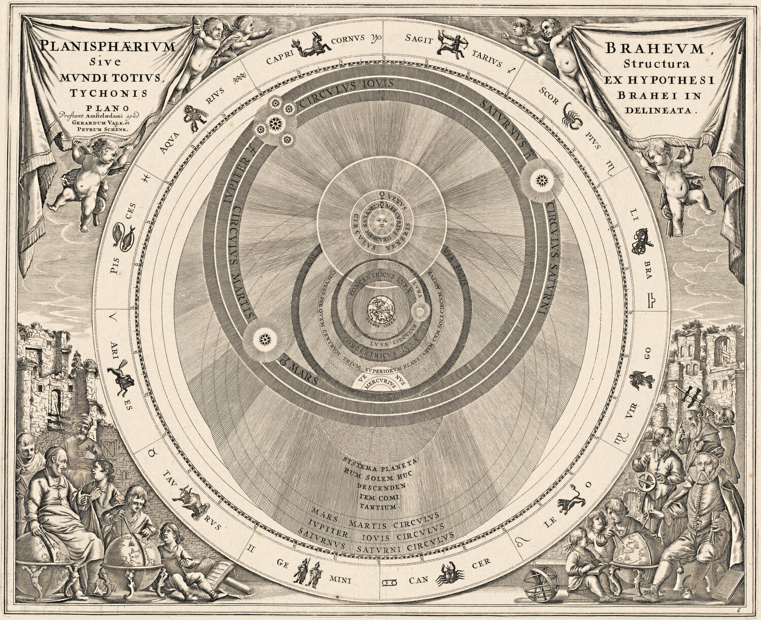
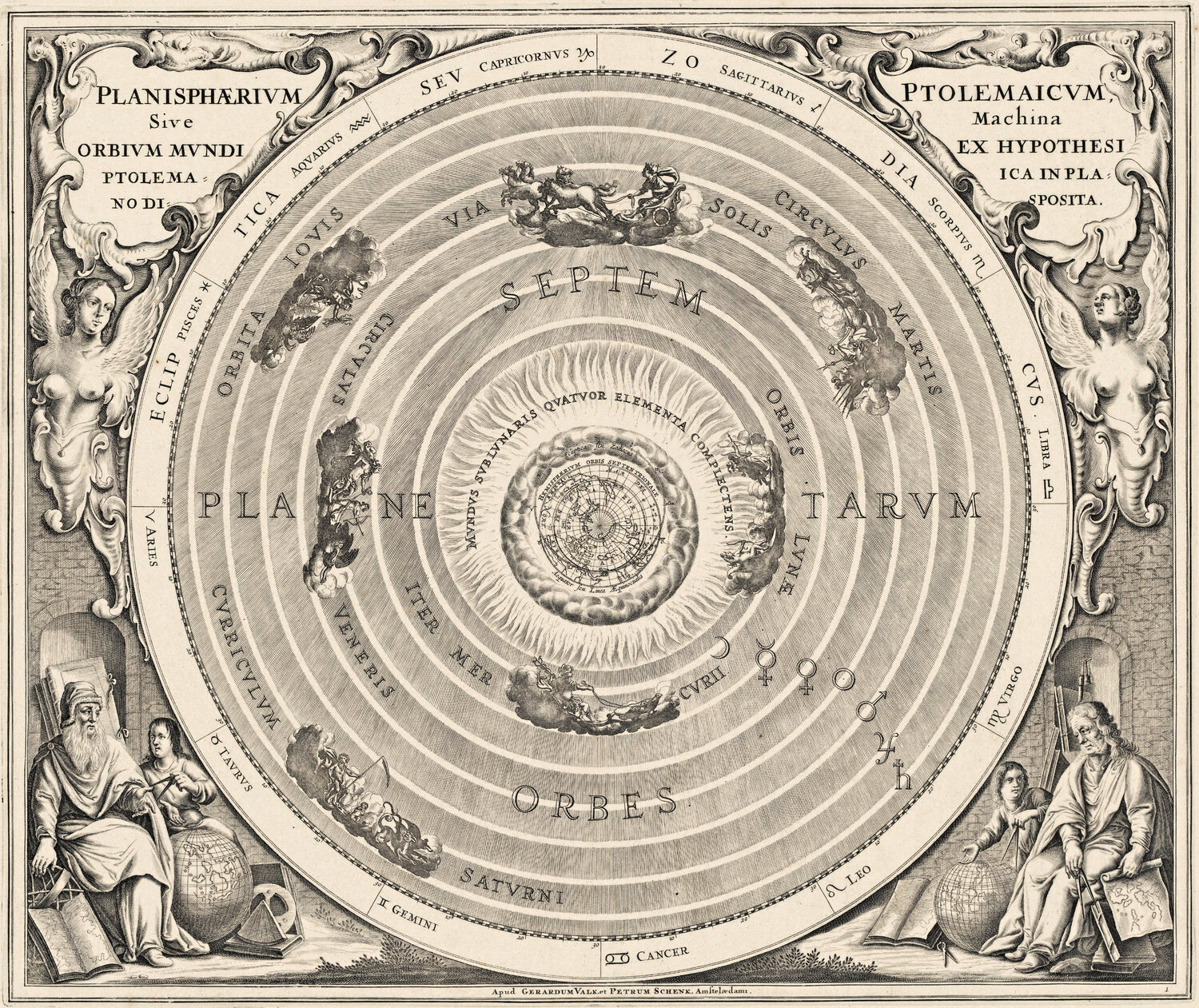
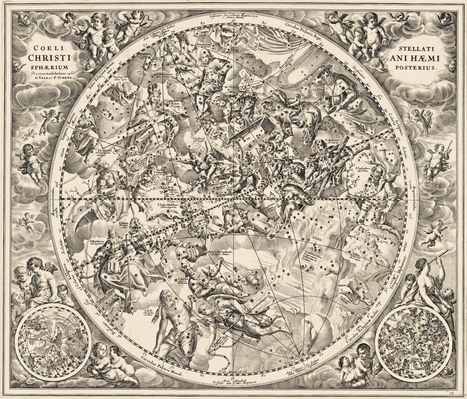
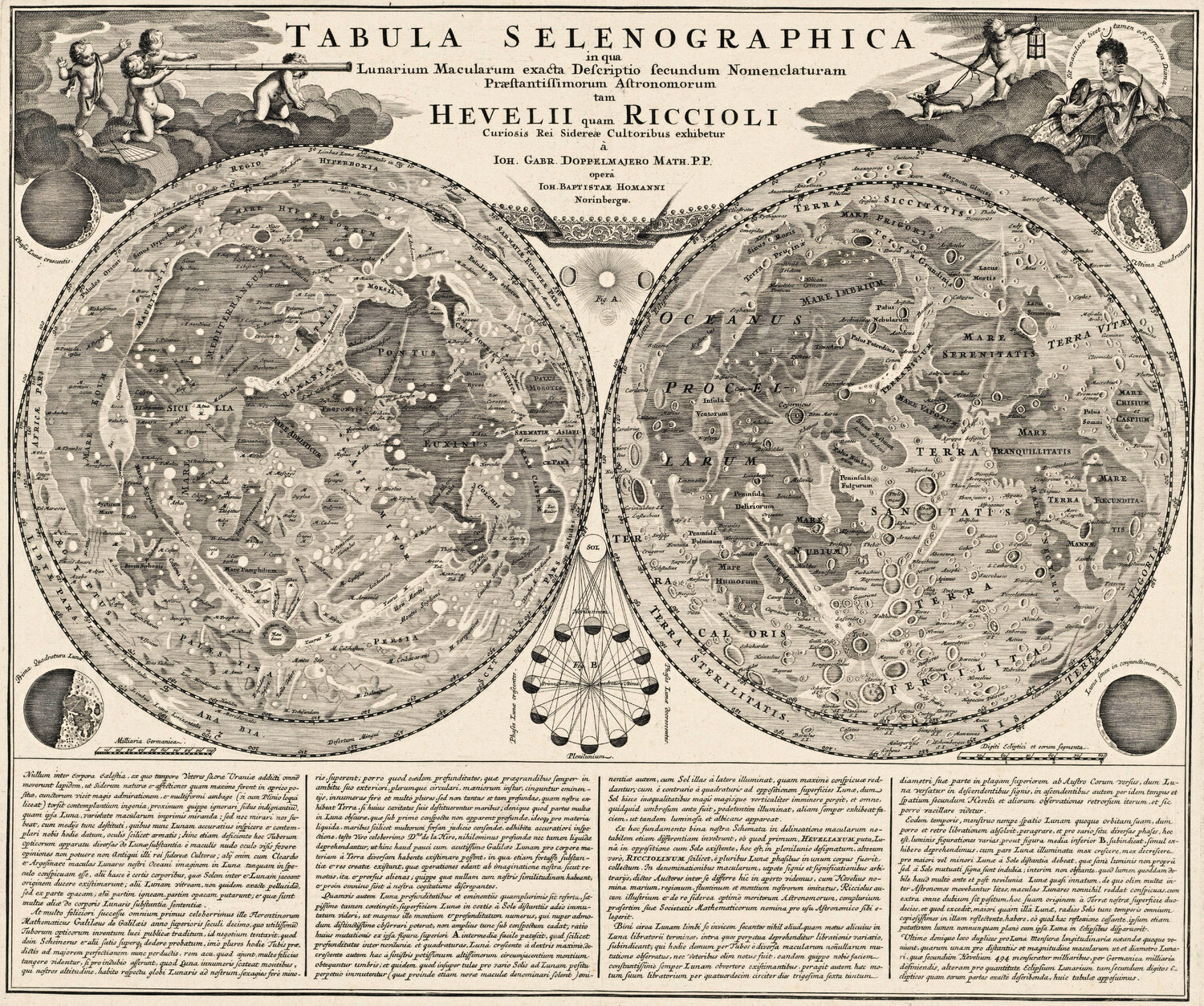
Twenty restored antique maps you can download free at screen resolution (1500 px) — for lessons, school projects, articles, blog posts, presentations and family history. No sign-up, no e-mail.
Free for personal, educational, editorial and non-commercial use. All we ask is a credit with a link — the button under each map copies it for you. The originals are in the public domain; each scan comes from the library or museum named under the map.
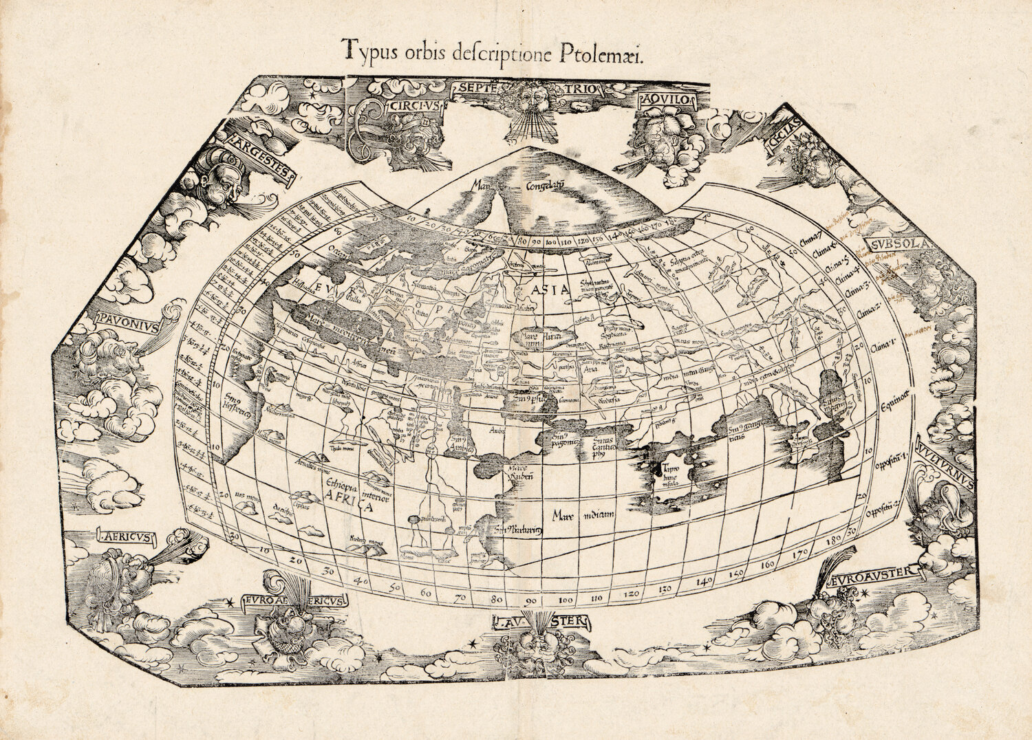
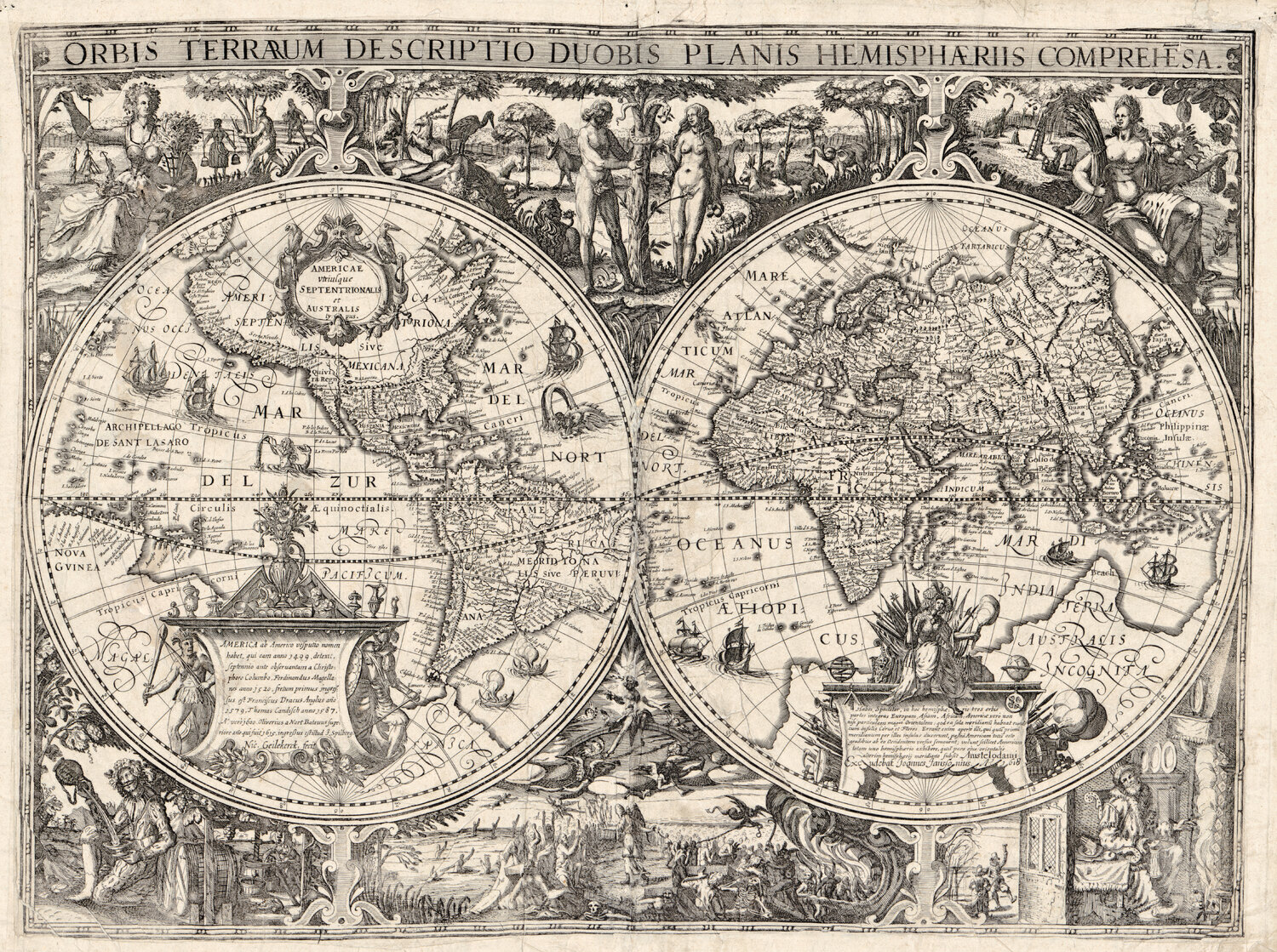
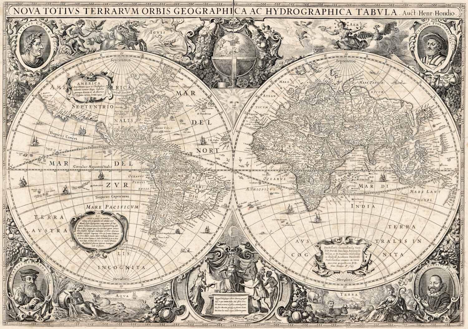
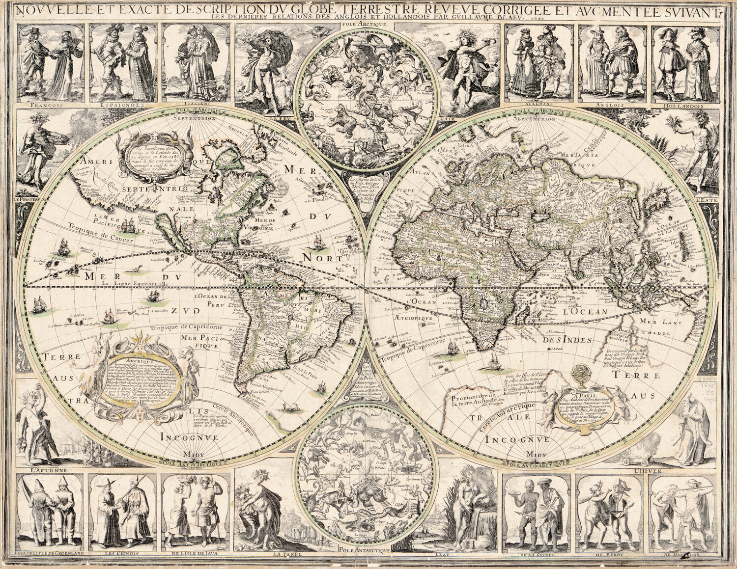
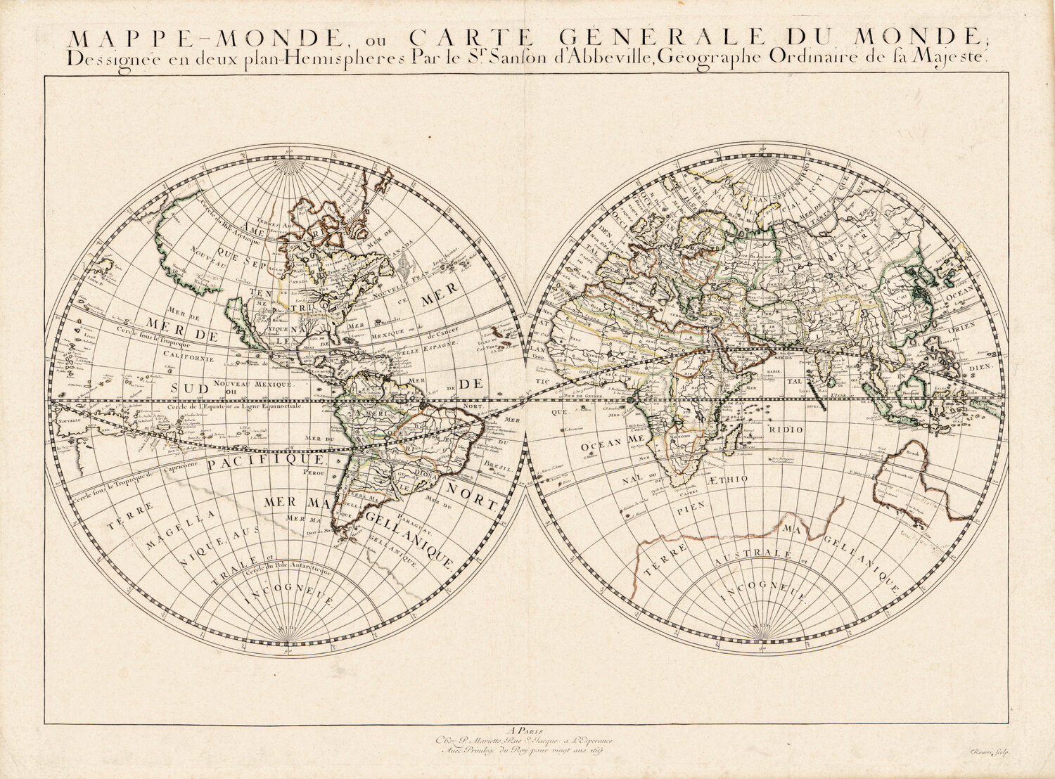
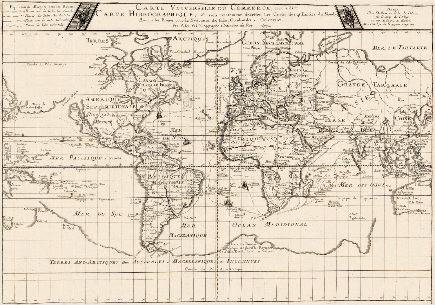
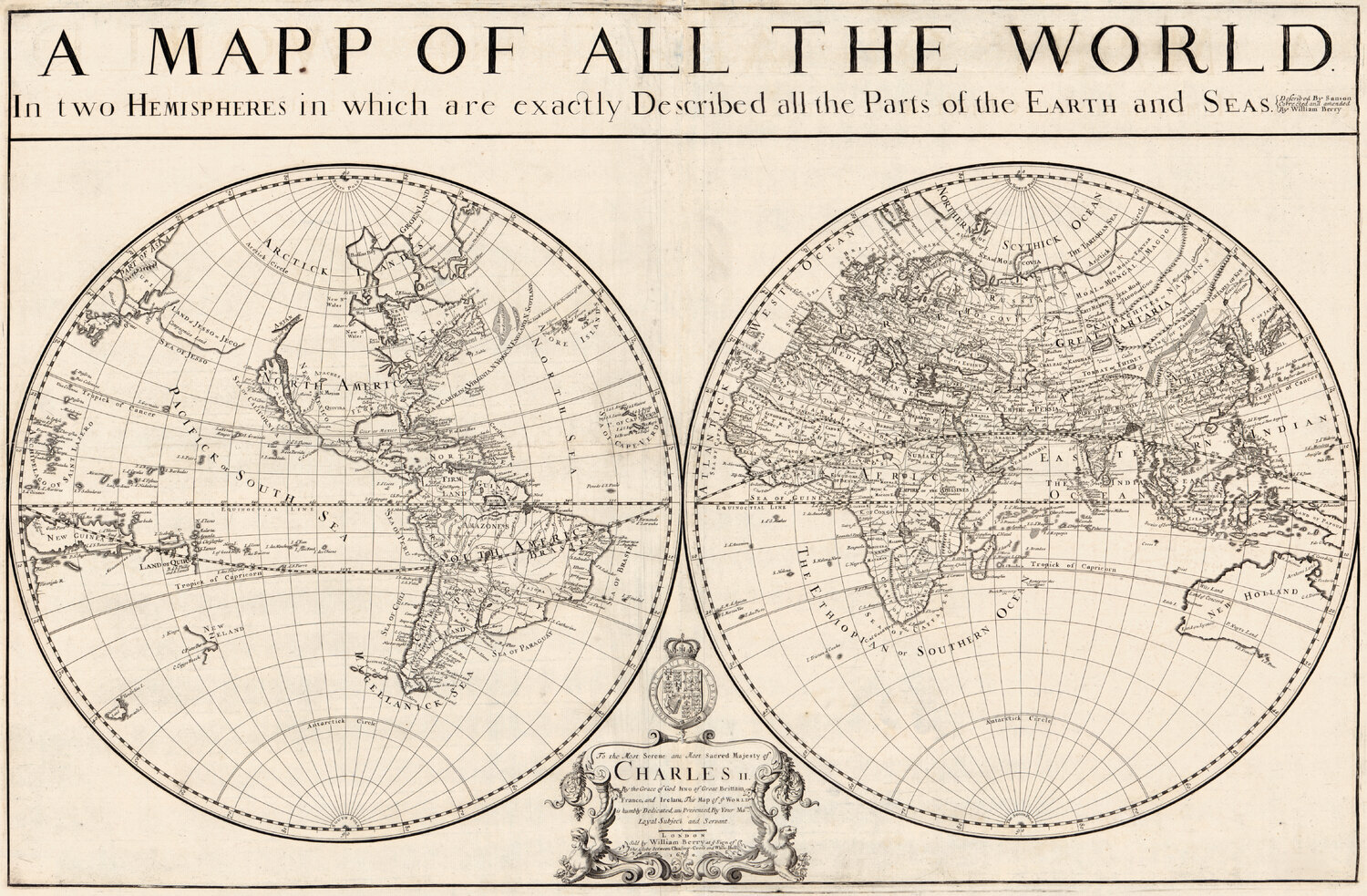
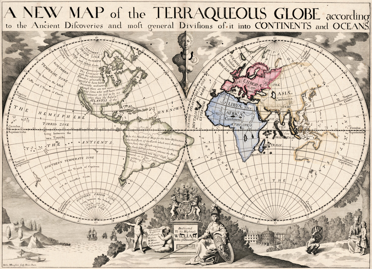
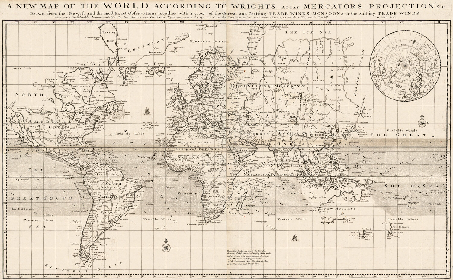
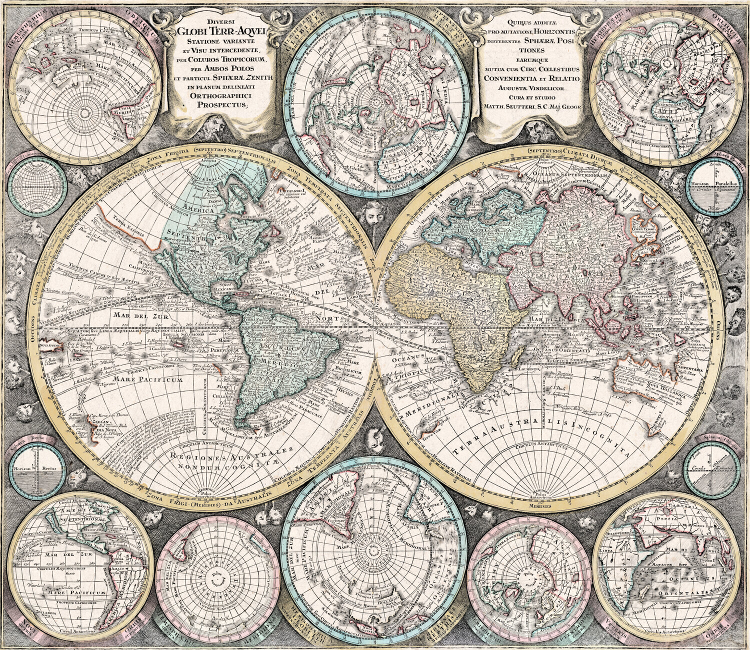
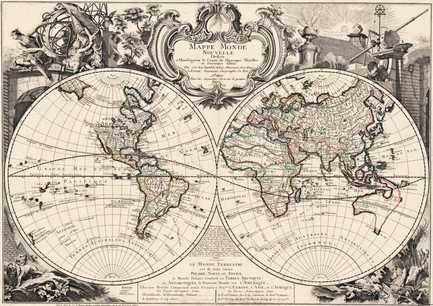
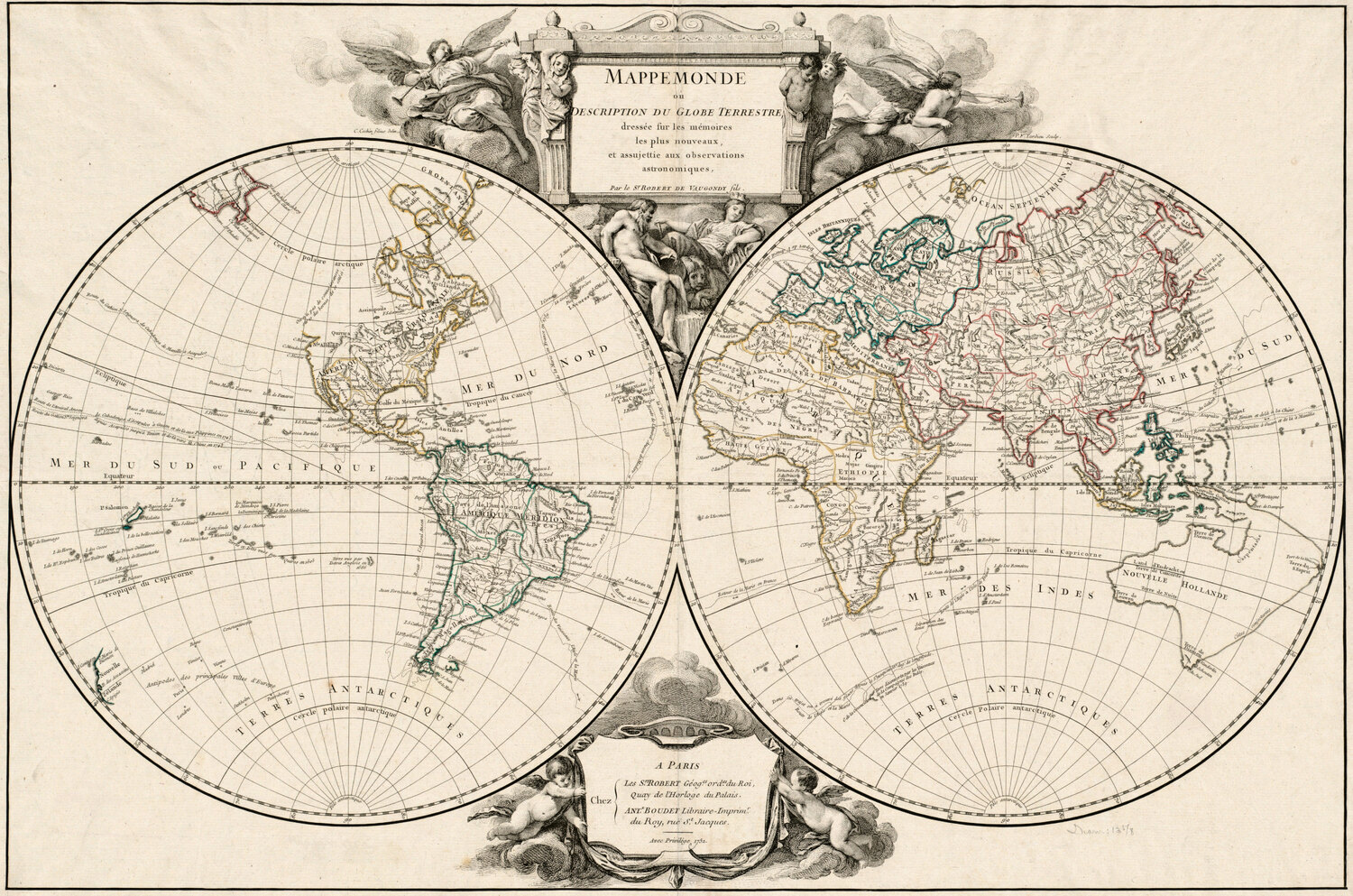
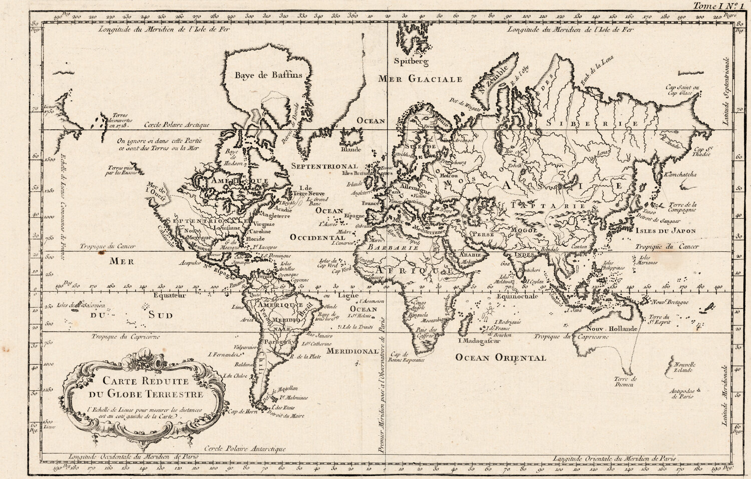
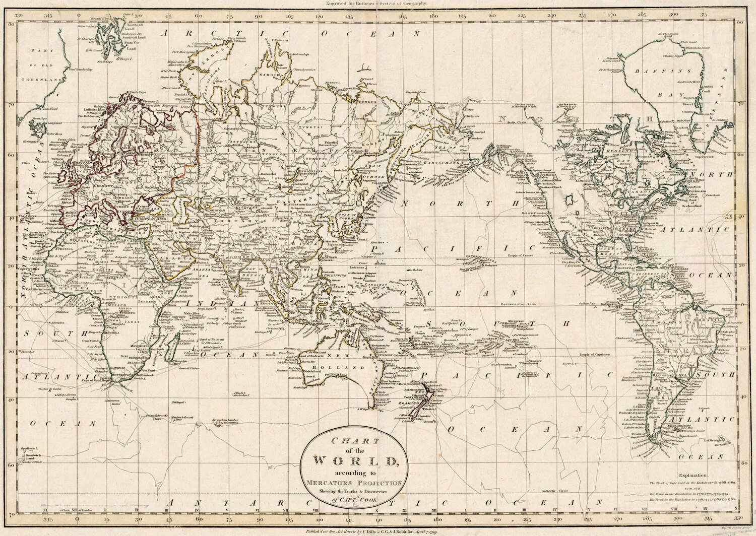
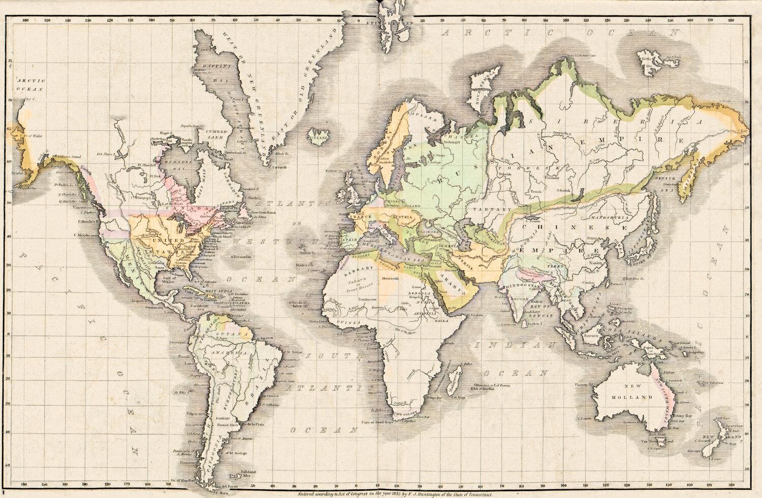
World maps Antique World Map 1541 — Fries, Typus Orbis Ptolemaei Library of Congress, Geography and Map Division · 1541 Download 1500 px Copy credit Print file, up to 51 cm → Antique World Map 1618 — Geylekerck, Orbis Terrarum Descriptio Library of Congress, Geography and Map Division · 1618 Download 1500 px Copy credit Print file, up to 57 cm → Antique World Map 1641 — Hondius, Nova Totius Terrarum Orbis Library of Congress, Geography and Map Division · 1641 Download 1500 px Copy credit Print file, up to 55 cm → Antique World Map 1645 — Blaeu, Novvelle et Exacte Description Library of Congress, Geography and Map Division · 1645 Download 1500 px Copy credit Print file, up to 56 cm → Antique World Map 1651 — Sanson, Mappe-Monde ou Carte Générale Library of Congress, Geography and Map Division · 1651 Download 1500 px Copy credit Print file, up to 57 cm → Antique World Map 1677 — Duval, Carte Vniverselle du Commerce Library of Congress, Geography and Map Division · 1677 Download 1500 px Copy credit Print file, up to 53 cm → Antique World Map 1680 — Sanson, A Mapp of All the World Library of Congress, Geography and Map Division · 1680 Download 1500 px Copy credit Print file, up to 89 cm → Antique World Map 1700 — Wells, Terraqueous Globe Library of Congress, Geography and Map Division · 1700 Download 1500 px Copy credit Print file, up to 51 cm → Antique World Map 1706 — Moll, A New Map of the World Boston Public Library, Norman B. Leventhal Map & Education Center · 1706 Download 1500 px Copy credit Print file, up to 71 cm → Antique World Map 1740 — Seutter, Diversi Globi Terr-Aquei Library of Congress, Geography and Map Division · 1740 Download 1500 px Copy credit Print file, up to 59 cm → Antique World Map 1744 — Le Rouge, Mappe Monde Nouvelle Library of Congress, Geography and Map Division · 1744 Download 1500 px Copy credit Print file, up to 73 cm → Antique World Map 1752 — Robert de Vaugondy, Mappemonde Boston Public Library, Norman B. Leventhal Map & Education Center · 1752 Download 1500 px Copy credit Print file, up to 67 cm → Antique World Map 1764 — Bellin, Carte réduite du globe Library of Congress, Geography and Map Division · 1764 Download 1500 px Copy credit Print file, up to 48 cm → Antique World Map 1799 — Chart of the World Boston Public Library, Norman B. Leventhal Map & Education Center · 1799 Download 1500 px Copy credit Print file, up to 68 cm → Antique World Map 1839 — Willard, Universal History Library of Congress, Geography and Map Division · 1839 Download 1500 px Copy credit Print file, up to 43 cm → Star charts and the Moon How to credit Paste the copied line under the image, for example:
Antique World Map 1541 — Fries, Typus Orbis Ptolemaei — restored by Old Map Studio , scan: Library of Congress, Geography and Map Division
Need it larger or for a product? For wall prints and any commercial use, each map has a full 300 dpi print file on its page: the whole sheet, the map trimmed to the border and four standard frame ratios, with a restoration passport.