Antique World Map — Psalter Map, Miller Facsimile 1895, Plate 1

Description
An antique world map from Miller’s Mappaemundi, 1895
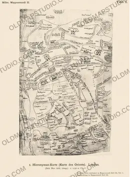
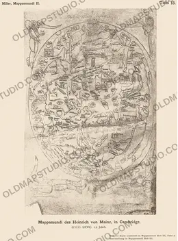
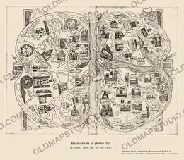
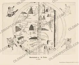
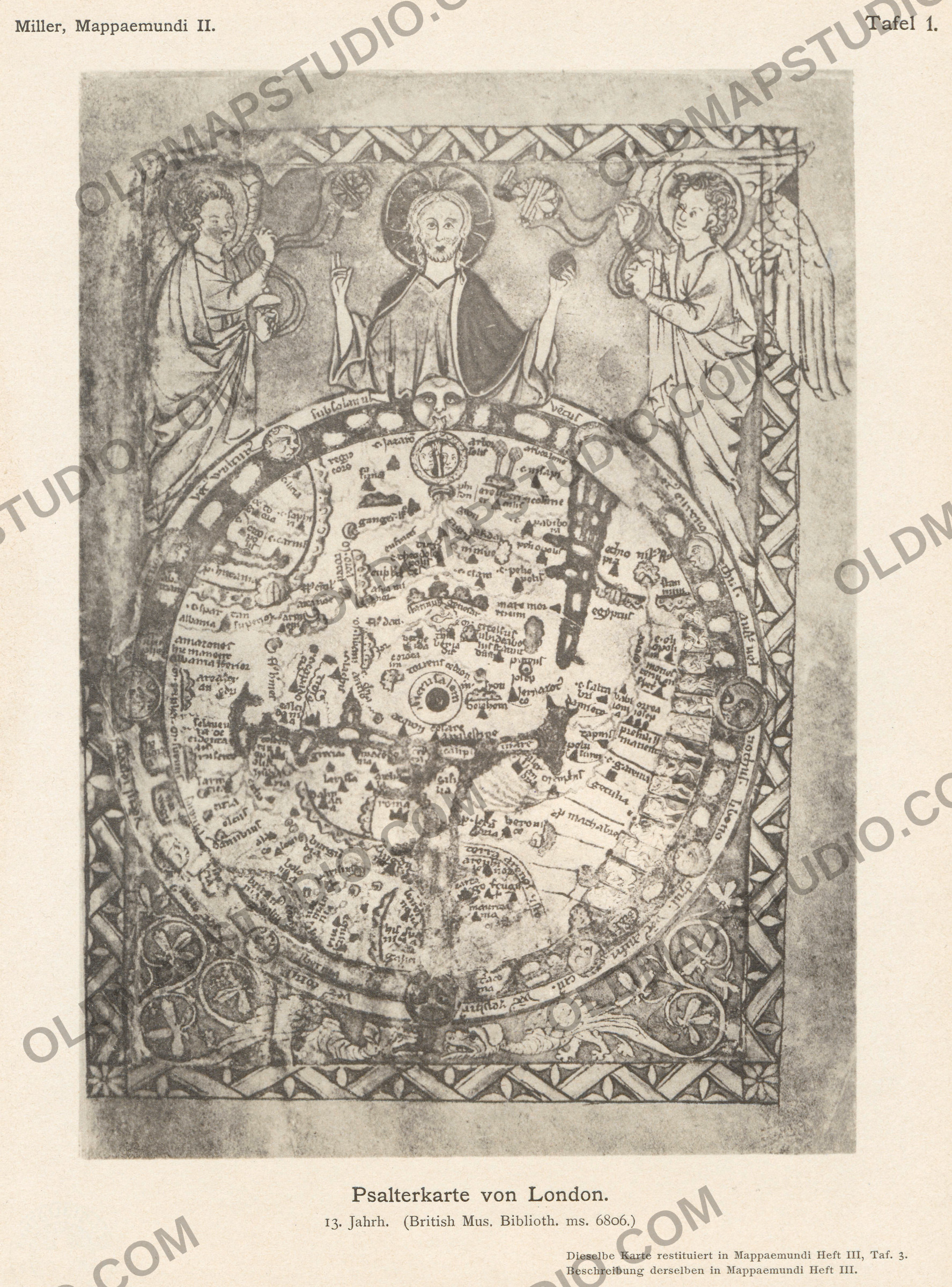
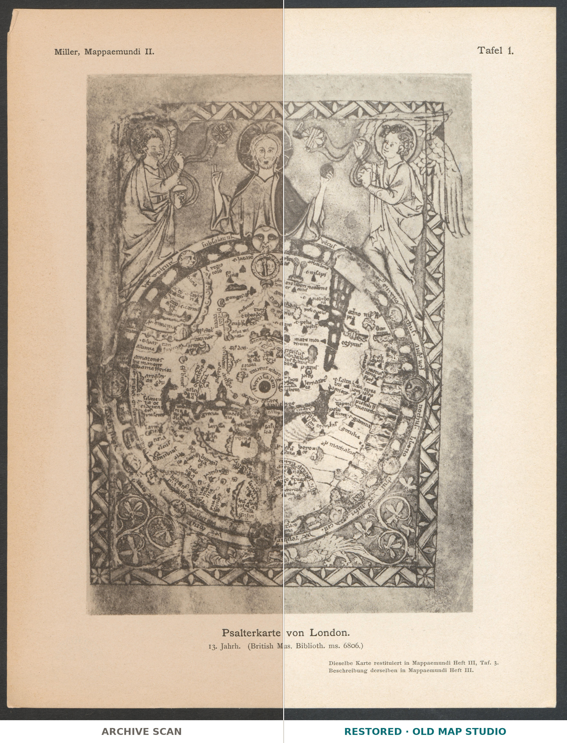
This plate reproduces the Psalter map, a small round map of the world painted in an English book of psalms in the thirteenth century. Konrad Miller printed it as Tafel 1, the first plate in the atlas part of Mappaemundi: Die ältesten Weltkarten (“the oldest world maps”), published in Stuttgart by Jos. Roth’sche Verlagshandlung in six parts between 1895 and 1898. His caption under the picture reads Psalterkarte von London. and, in smaller type, 13. Jahrh. (British Mus. Biblioth. ms. 6806.)
The psalter that contains the map is known today as the Map Psalter, British Library Add MS 28681. The Library’s catalogue dates it after 1262, because its calendar includes the feast of Richard of Chichester, and places it in south-east England, perhaps London or Westminster. The whole volume measures only 170 × 130 mm, and the map itself is less than ten centimeters across. The British Museum bought it in 1871. Miller’s “ms. 6806” does not match: today Add MS 6806 is a volume of Andrew Mitchell’s letters of 1756–57, and we have found no source that explains the number.
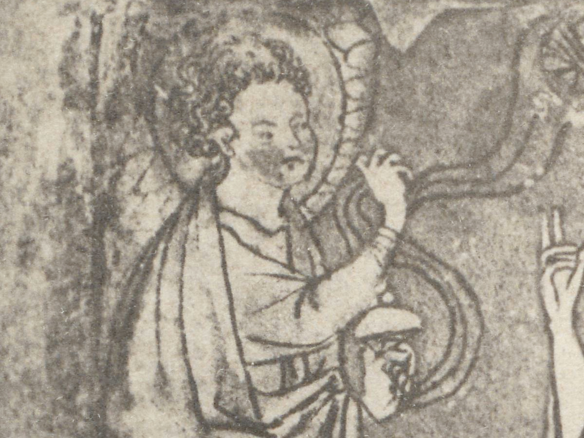
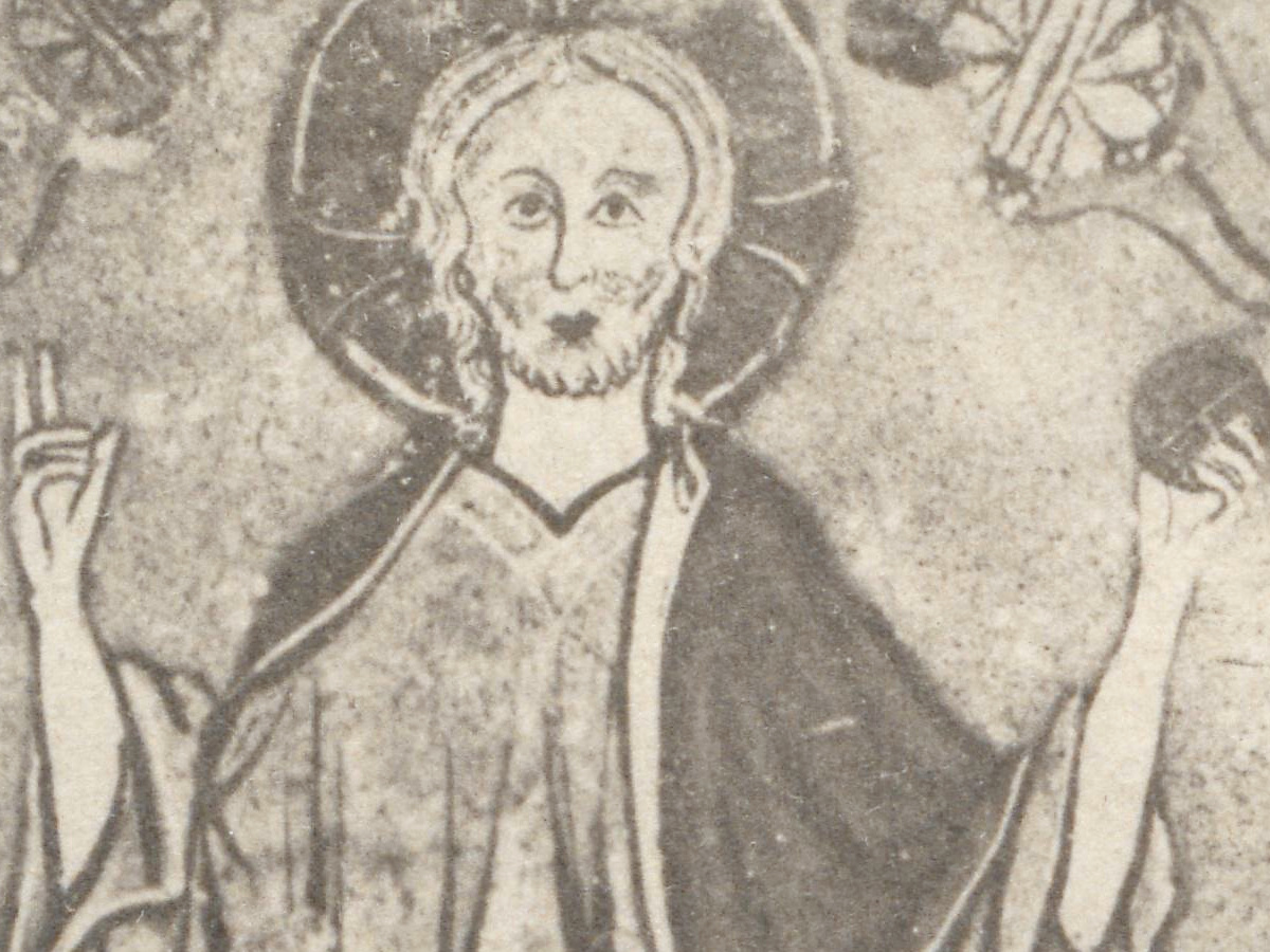
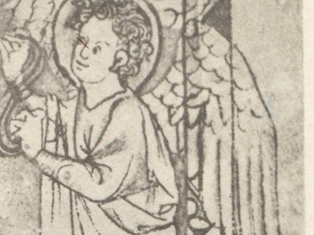
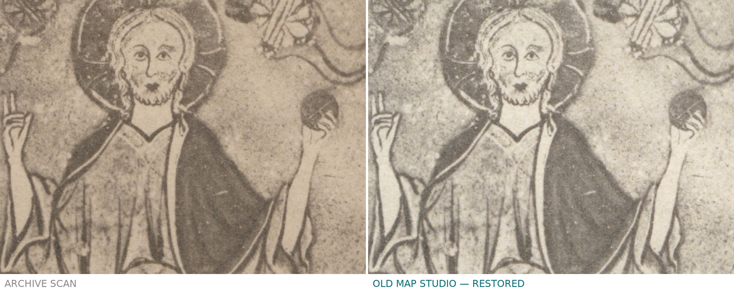
The map is a round world in a square ornamental frame, with east at the top and Jerusalem at the center. Above it Christ raises one hand in blessing and holds an orb in the other, flanked by two angels with censers. A zone of winds, with faces, runs around the disc. The catalogue notes that the design closely parallels the Hereford mappa mundi, and that it may have been copied from a wall map in Henry III’s palace at Westminster, though this is uncertain.
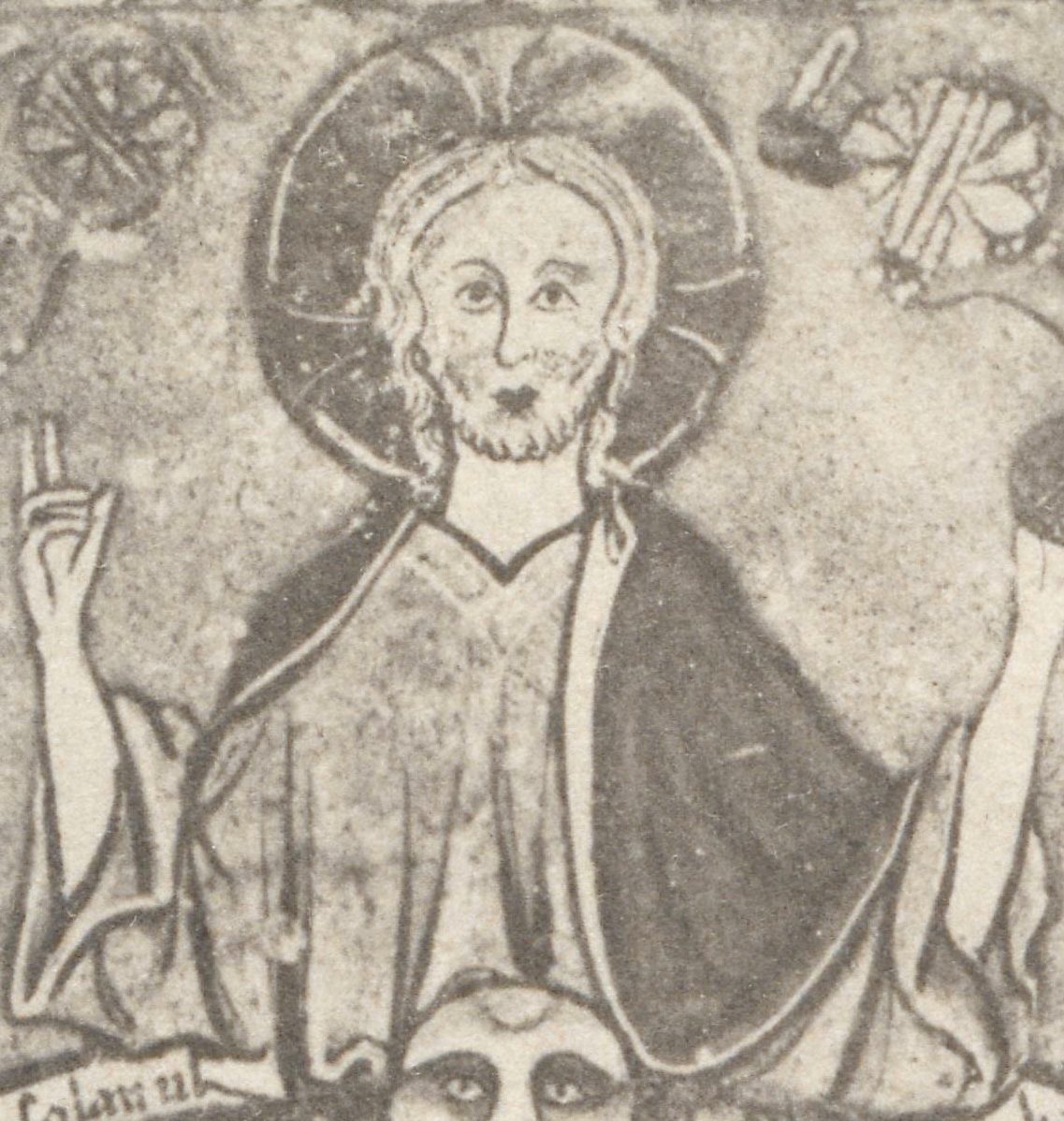
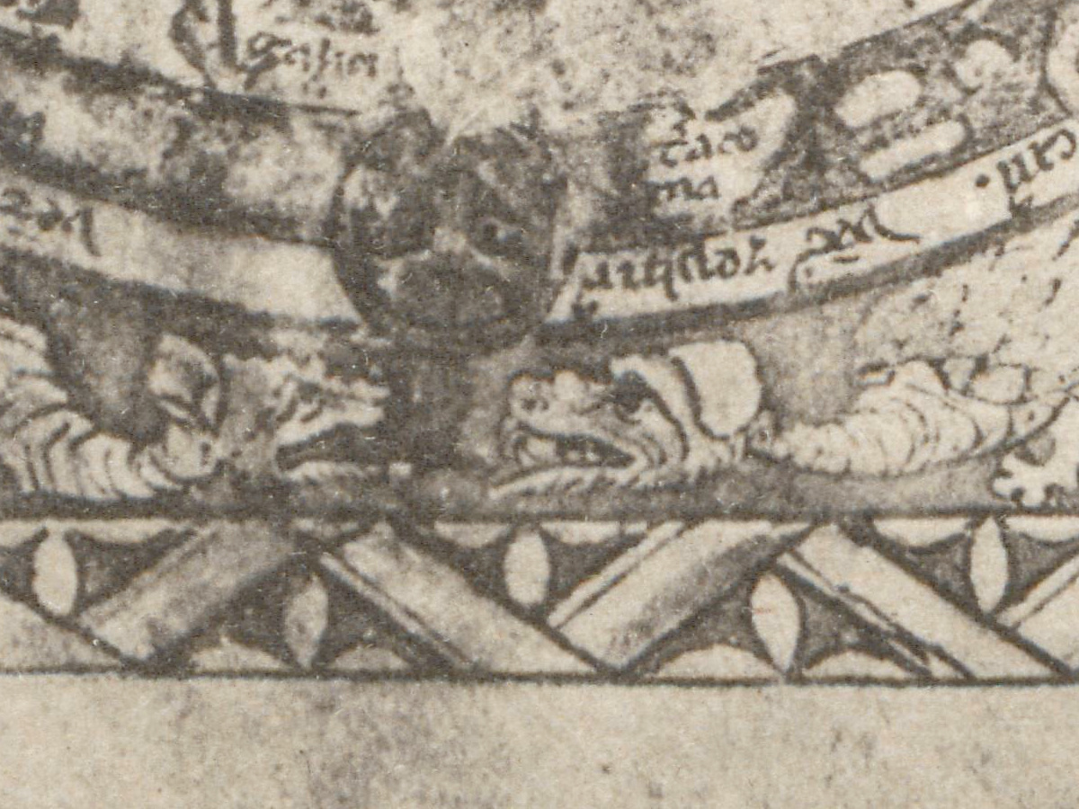
Along the edge of the disc stand the monstrous peoples, and two dragons lie in the border below. One scholar links these dragons to Psalm 90:13 in the Latin numbering, the verse about treading on the lion and the dragon. The back of the leaf, folio 9v, shows Christ between two angels, holding a globe divided into the three continents and filled with lists of places.
Konrad Miller (1844–1933) was a Catholic priest who taught natural sciences at the Realgymnasium in Stuttgart; from 1895 he published the Mappae mundi, the world maps of the Christian Middle Ages (Neue Deutsche Biographie). The second part of the series was an atlas of 16 collotype plates, a photographic printing process, so this plate shows the manuscript page in shades of gray rather than in its original color and gold. Two lines of small print at the lower right point ahead: Dieselbe Karte restituiert in Mappaemundi Heft III, Taf. 3. and Beschreibung derselben in Mappaemundi Heft III. — the same map redrawn, and its description, in the third part.
What to look for on the sheet
- At the top center: Christ with raised hand and orb; the angel on the left holds a censer.
- Just below: a wind face on the rim, then a small roundel with two heads either side of a tree, and two trees, one labeled arbor solis.
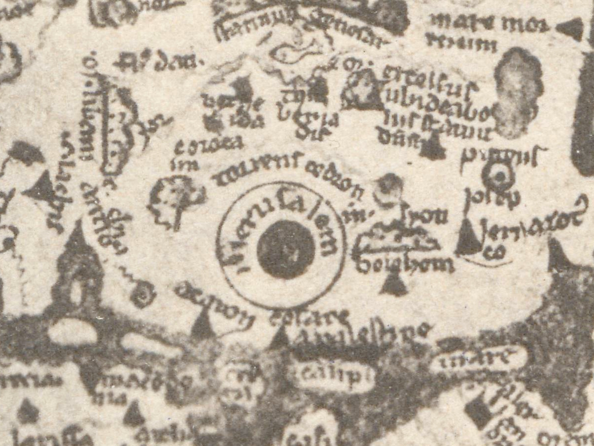
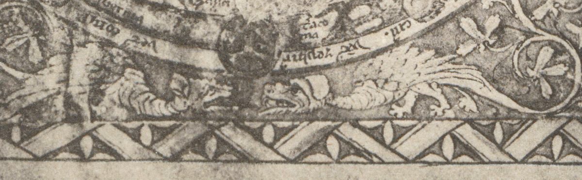
- At the center: Jerusalem in a double ring around a dark disc.
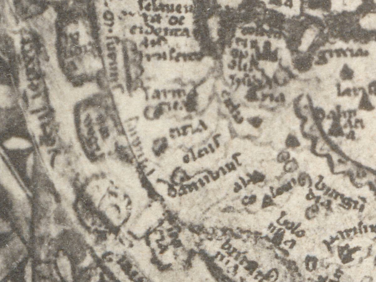
- Lower left, in Europe: roma with a group of towers.
- Along the right edge: a column of small boxes with crouching figures, the monstrous peoples, running from below the word egyptus down toward the bottom of the disc.
- At the bottom: two dragons between roundels of foliage, inside the trellis frame.
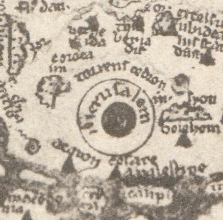
Miller’s Mappaemundi was, in the words of the History of Cartography, “rapidly accepted as the standard text” on medieval world maps. The map is still studied closely: a 2018 article in Cartographica reads it as a geography of devotion.
Everything on this sheet: full record
Every inscription on the sheet
The plate carries two kinds of lettering. Miller’s own headings and captions are printed in modern type and are given here letter for letter. Everything inside the picture is the thirteenth-century hand of the manuscript, reproduced by photography; it is tiny and soft on the plate, so only names that can be read with confidence on this scan are listed, and the hundreds of other names are left out. German and Latin are translated in [square brackets].
- Head of the plate, upper left: Miller, Mappaemundi II. [Miller, Mappaemundi, part II]; upper right: Tafel 1. [Plate 1]
- Caption below the picture, centered: Psalterkarte von London. [Psalter map of London]; below it, in smaller type: 13. Jahrh. (British Mus. Biblioth. ms. 6806.) [13th century (British Museum Library ms. 6806)]
- Small type at the lower right, two lines: Dieselbe Karte restituiert in Mappaemundi Heft III, Taf. 3. [The same map restored in Mappaemundi part III, plate 3] and Beschreibung derselben in Mappaemundi Heft III. [Description of the same in Mappaemundi part III]
- Band of winds, top, left of the wind face above the map: a name beginning subsolan (the end is unclear); the other wind names round the rim are only partly legible on this scan.
- Inside the map, top: arbor solis [tree of the sun] beside the left of two trees, to the right of the small roundel with two heads.
- Inside the map, center: the name of Jerusalem written round the dark central disc; the first letters are unclear.
- Inside the map, upper right of center: egyptus [Egypt], beside a dark band of water with light patches.
- Inside the map, left edge: amazones [Amazons] and albania [Albania].
- Inside the map, lower left: roma [Rome], above a small group of towers.
The sheet and the record do not agree on the manuscript number: the caption gives “ms. 6806”, while the map is today British Library Add MS 28681, and Add MS 6806 is a volume of Andrew Mitchell’s letters of 1756–57. The caption’s “13. Jahrh.” agrees with the Library’s date of after 1262. The plate is a black-and-white collotype, while the Library describes the original as pen and wash with areas of full color and gold.
Editions and other known copies
- ETH Library Zurich, Rar K 257: 2 (the copy scanned for this file, e-rara record 11583321, plate image 11583326): DataCite record DOI 10.3931/e-rara-38523, “Die ältesten Weltkarten / 2 Atlas von 16 Lichtdruck-Tafeln : von Konrad Miller”, Jos. Roth’sche Verlagshandlung, 1895, “16 Taf.”, with the note “Betrifft: Psalter-Karte, Beatus, Cotton Map, Hieronymus, Heinrich von Mainz, Higden”.
- Bibliothèques numériques de la Défense (France): the whole series, 1895–1898, six volumes, 30 cm, Jos. Roth’sche Verlagshandlung; the copy bears the stamp of the Service hydrographique, which gave it in 1969.
- Technisches Museum Wien, library (catalogue no. 47632): the six parts listed, Heft II as an “Atlas von 16 Lichtdrucktafeln”.
- Internet Archive, from a University of California copy digitized by Google (bub_gb_ai5FAQAAMAAJ): catalogued as the series, but the scan is Heft VI; its list of abbreviations gives “Ps = Psalter London — Mm III. 38”, the place where Miller describes this map in part III.
- Kujawsko-Pomorska Biblioteka Cyfrowa, Toruń University Library: Heft IV, Die Herefordkarte, with the imprint “STUTTGART. JOS. ROTH’SCHE VERLAGSHANDLUNG 1896”.
- None of these records names a second printing of Heft II or differences between copies of this plate.
Catalog entries and sources
- Original: British Library, Add MS 28681, folio 9r (map) and 9v (Christ with a globe of the three continents); 226 folios, 170 × 130 mm.
- This plate: Miller, Mappaemundi, Heft II, Tafel 1; ETH Library Zurich Rar K 257: 2; e-rara 11583321 (plate 11583326); DOI 10.3931/e-rara-38523.
- Sources for the story and this record: British Library, archives and manuscripts catalogue, Add MS 28681; Neue Deutsche Biographie, vol. 17 (1994), article “Miller, Konrad” by Hans Hablitzel; Lexikon der Kartographie und Geomatik (Spektrum), “Miller, Konrad”; David Woodward, “Medieval Mappaemundi”, History of Cartography, vol. 1, ch. 18; Brott, “The Geography of Devotion in the British Library Map Psalter”, Cartographica 53:3 (2018); Przygodzka, article in Groundings (University of Glasgow, 2024); DataCite record of the e-rara atlas; library records of Bibliothèques numériques de la Défense, Technisches Museum Wien, Internet Archive and Toruń University Library.
This copy
The scan shows the whole plate with wide plain margins and the photograph printed as a slightly darker rectangle with soft edges. The paper is evenly toned; the upper left corner is creased and slightly torn. No library stamp and no pencil notes are visible on the front. The picture itself shows the manuscript page with its own wear: rubbed patches in the lower part of the map and around the bottom of the rim, where names cannot be read.
Your file
| Original | Konrad Miller, Mappaemundi, Heft 2 (atlas), Stuttgart: J. Roth, 1895, Tafel 1, captioned “Psalterkarte von London. 13. Jahrh. (British Mus. Biblioth. ms. 6806.)”; after the Psalter map |
| Scan | full sheet 5543 × 7046 px; the map inside the trimmed border 4630 × 6260 px |
| Print size at 300 dpi | the map prints to 53 cm (21 in), the full sheet with margins to 59 cm (23 in) |
| You download | six ZIP archives: full sheet, trimmed, 3:2, 4:3, 5:4 and ISO A |
| Inside each one | one JPEG at 300 dpi, the restoration passport as a PDF, a READ ME |
How to print
- The sheet is vertical. At 300 dpi the plate prints to 53 cm. Pick the archive whose proportions match your frame; ask for matte fine-art paper in sRGB with auto-enhancement off.
- Where to print it: print shops near you and checked prices at online labs.
Source and rights
The scan comes from e-rara.ch, the Swiss platform for digitized rare books (plate image 11583326). Its record of the atlas, DOI 10.3931/e-rara-38523, reads “Die ältesten Weltkarten / 2 Atlas von 16 Lichtdruck-Tafeln : von Konrad Miller”, Jos. Roth’sche Verlagshandlung, 1895, 16 plates, and lists its contents as “Psalter-Karte, Beatus, Cotton Map, Hieronymus, Heinrich von Mainz, Higden”. Konrad Miller died in 1933; the plates are in the public domain. The scanned copy is held by ETH Library Zurich, shelfmark Rar K 257: 2 (e-rara record 11583321), and carries the Public Domain Mark. The size of the plates is not given here. There is no TIFF master in the package. Catalogue record: e-rara →
Features
- Latin
Attachments
Reviews
No reviews found