Antique Holy Land Map c. 1150 — Jerome, Miller Facsimile 1895, Pl. 12


Description
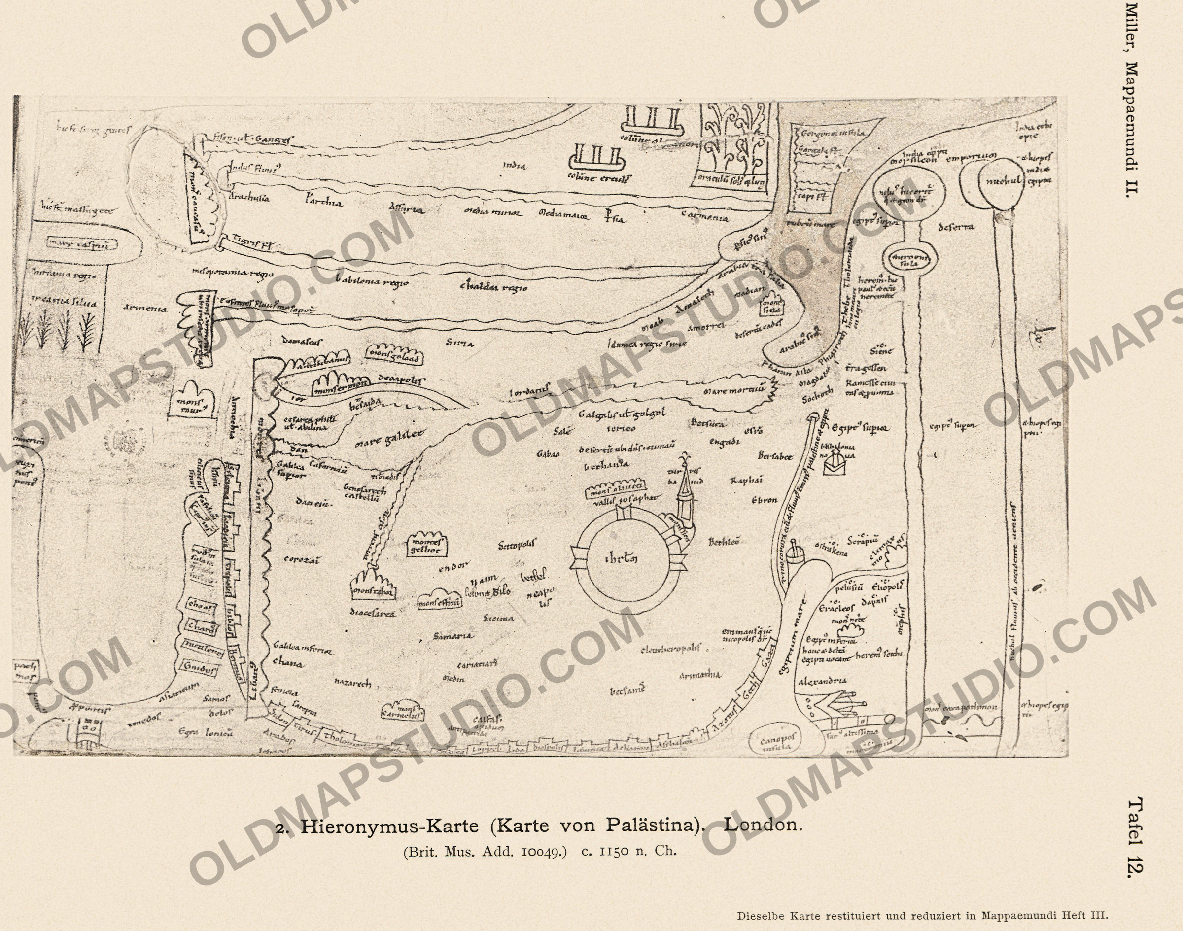
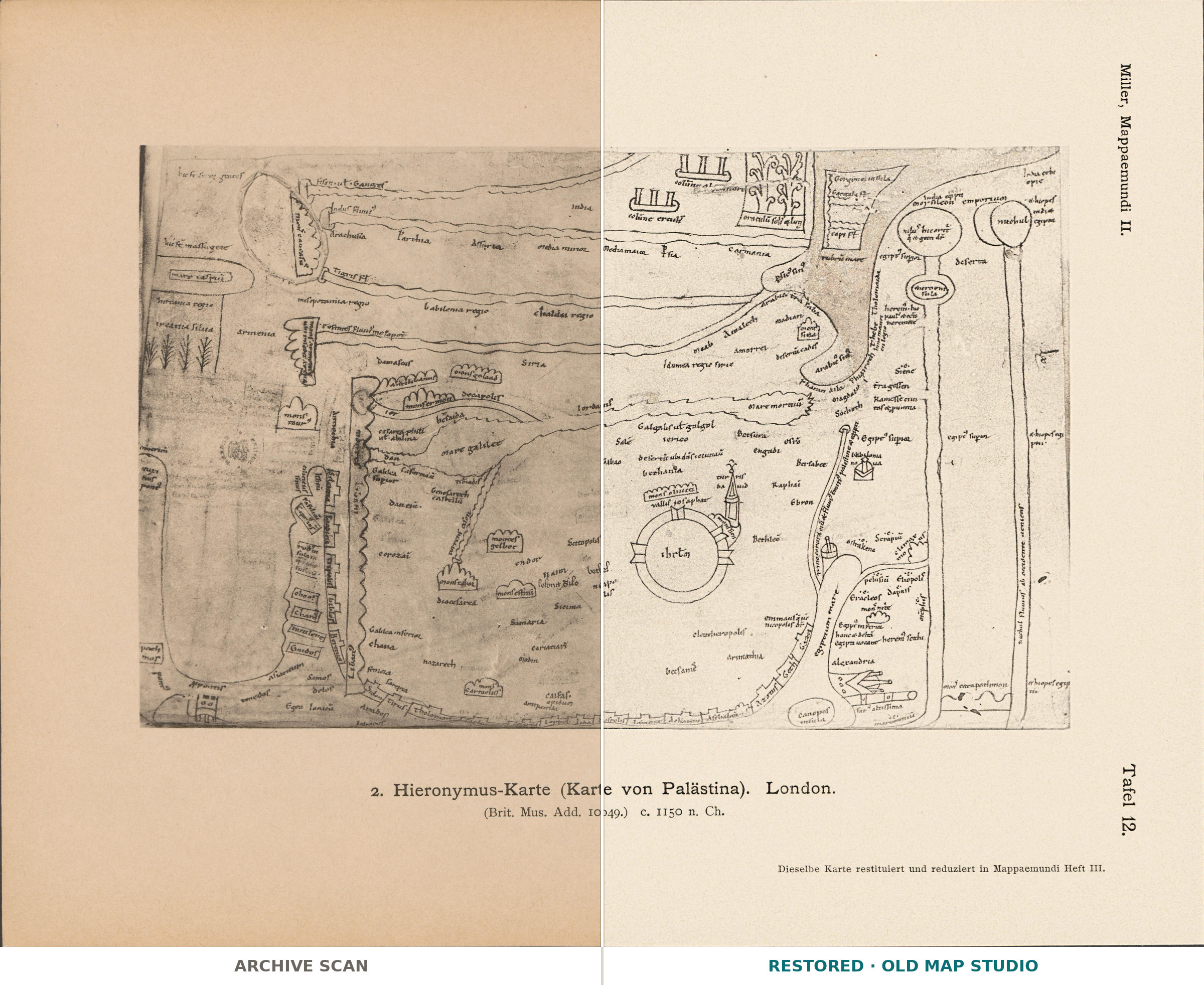
An antique map of Palestine from Miller’s Mappaemundi, 1895
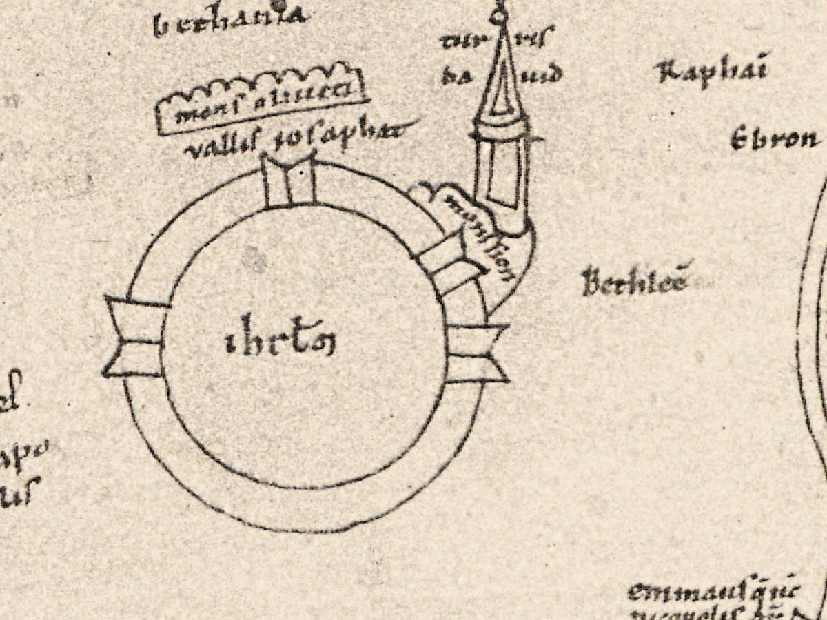
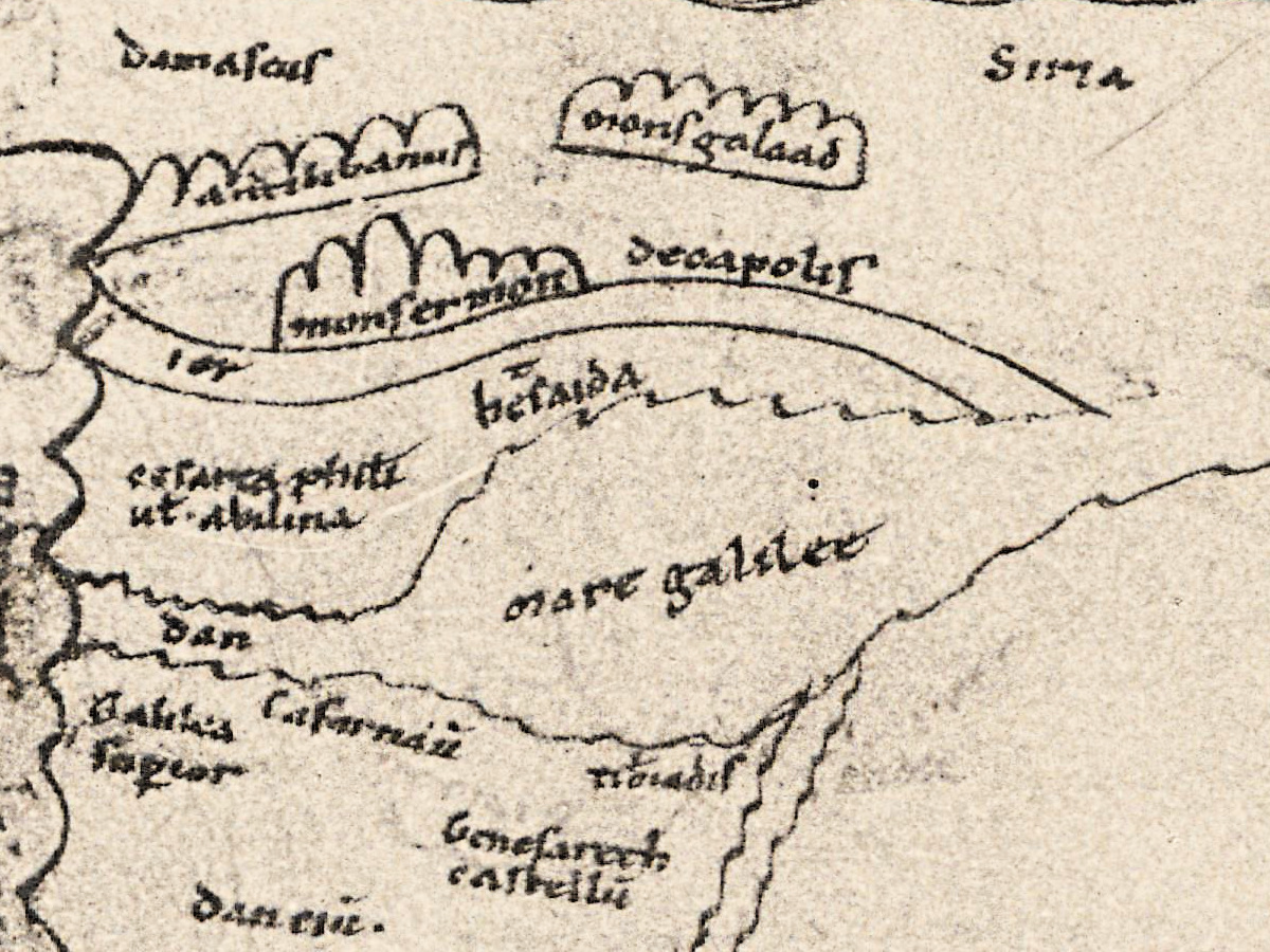
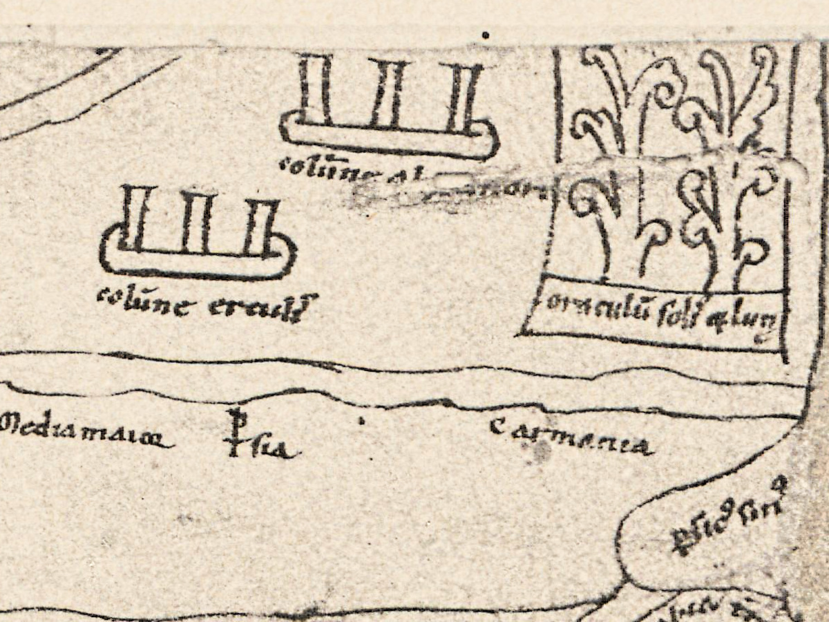
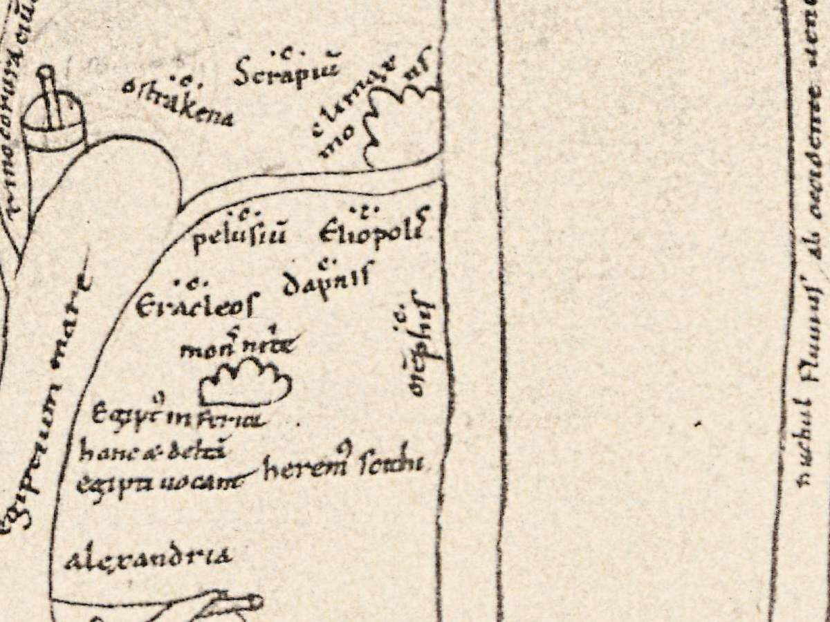
This plate reproduces the second of the two “Jerome maps”, drawn in the twelfth century on the last leaf of a manuscript of Saint Jerome’s works now in the British Library, Add MS 10049. Konrad Miller printed it as Tafel 12 in the atlas part of Mappaemundi: Die ältesten Weltkarten (“the oldest world maps”), published in Stuttgart by J. Roth in six parts between 1895 and 1898.
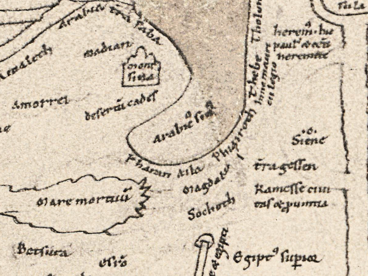
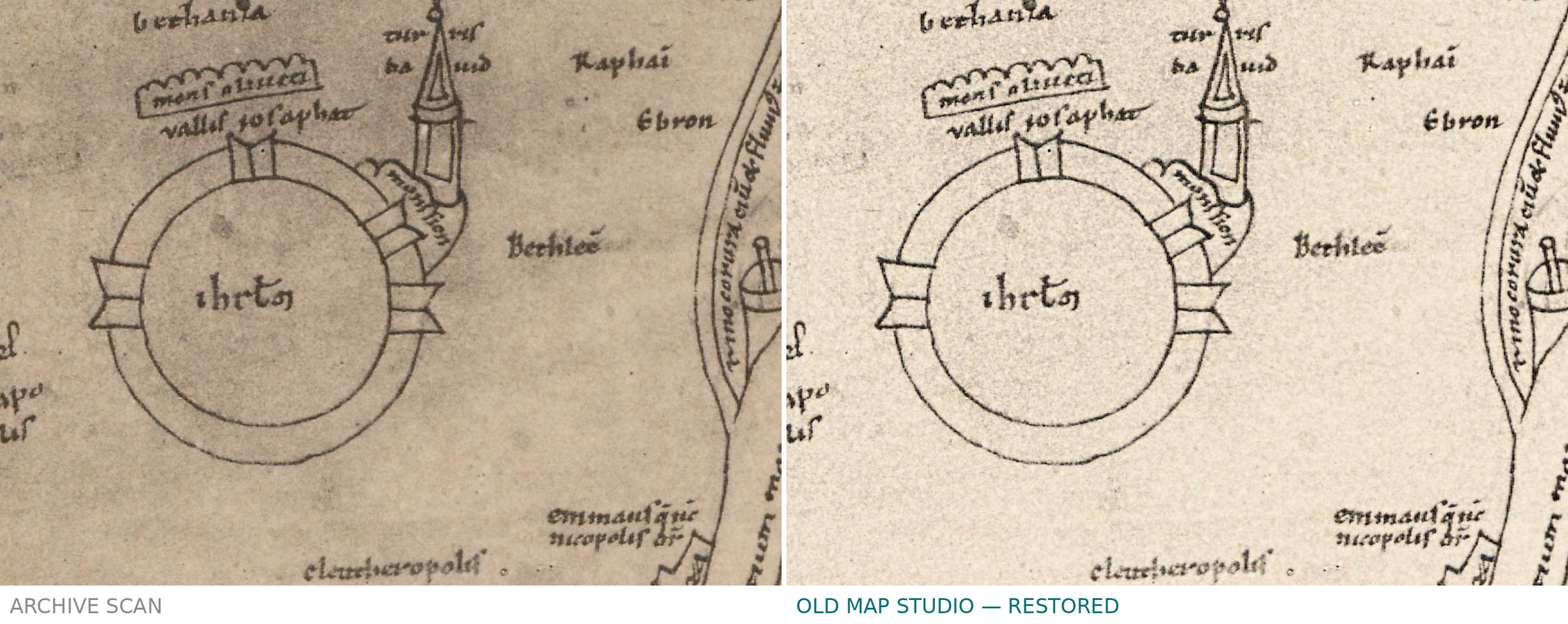
The manuscript holds three of Jerome’s works on the Bible: the Hebrew Questions on Genesis, the Interpretation of Hebrew Names and the Book of Hebrew Places, his Latin version of Eusebius’s book of Hebrew place names. LauraLee Brott, in a 2024 study of the manuscript, dates the maps to around 1150 and places them at the Benedictine abbey of Saint Martin in Tournai. The map of Palestine fills folio 64 verso, the back of the map of Asia. It is focused on a large drawing of Jerusalem and takes in the lands of the Middle East around it.
Konrad Miller (1844–1933) was a Catholic priest who taught natural sciences at the Realgymnasium in Stuttgart; from 1895 he published the Mappaemundi, the world maps of the Christian Middle Ages (Neue Deutsche Biographie). Because the map of Palestine follows Jerome’s book of Hebrew places so closely, Miller suggested that the maps were Jerome’s own work. Brott notes that Paul Harvey later disproved this; Harvey spoke on “the twelfth-century Jerome maps of Asia and Palestine” at the International Conference on the History of Cartography in Lisbon in 1997.
What to look for on the sheet
The plate reproduces the manuscript map. Brott describes:
- East at the top, toward the sunrise, as on Latin maps of the twelfth century.
- Jerusalem, drawn as a large icon, the focus of the whole map.
- The Mediterranean coast between Constantinople and Alexandria along the lower edge, and India at the upper, eastern edge.
- Some 203 places drawn around Jerusalem.
Miller’s third part, on the smaller world maps, carries his translations of the inscriptions of both Jerome maps. The map of Asia, on the front of the same leaf, is Tafel 11 of the same atlas.
Your file
| Original | Konrad Miller, Mappaemundi, Heft 2 (atlas), Stuttgart: J. Roth, 1895, Tafel 12, captioned “2. Hieronymus-Karte (Karte von Palästina). London. (Brit. Mus. Add. 10049.) c. 1150 n. Ch.”; after British Library Add MS 10049, fol. 64v |
| Scan | full sheet 6827 × 5371 px; the map inside the trimmed border 5916 × 4656 px |
| Print size at 300 dpi | the map prints to 50 cm (20 in), the full sheet with margins to 57 cm (22 in) |
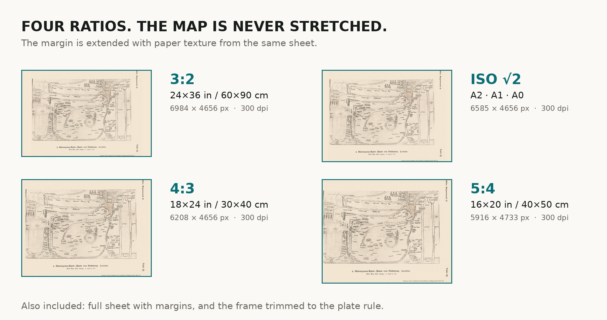
| You download | six ZIP archives: full sheet, trimmed, 3:2, 4:3, 5:4 and ISO A |
| Inside each one | one JPEG at 300 dpi, the restoration passport as a PDF, a READ ME |
How to print
- At 300 dpi the plate prints to 50 cm. Pick the archive whose proportions match your frame; ask for matte fine-art paper in sRGB with auto-enhancement off.
- Where to print it: print shops near you and checked prices at online labs.
Source and rights
The scan comes from e-rara.ch, the Swiss platform for digitized rare books (plate image 11583337). Its record of the atlas, DOI 10.3931/e-rara-38523, reads “Die ältesten Weltkarten / 2 Atlas von 16 Lichtdruck-Tafeln : von Konrad Miller”, Jos. Roth’sche Verlagshandlung, 1895, 16 plates, and lists its contents as “Psalter-Karte, Beatus, Cotton Map, Hieronymus, Heinrich von Mainz, Higden”. Konrad Miller died in 1933; the plates are in the public domain. The scanned copy is held by ETH Library Zurich, shelfmark Rar K 257: 2 (e-rara record 11583321), and carries the Public Domain Mark. The size of the plates is not given here. There is no TIFF master in the package. Catalogue record: e-rara →
Features
- Latin
Attachments
Reviews
No reviews found
See also
-
 Antique World Map — Turin Beatus Map, Miller Facsimile 1895, Plate 8
-
Antique Map of Europe 1570 — Ortelius, Europae
-
Antique World Map — Beatus Map Paris II, Miller Facsimile 1895, Plate 2
-
Antique Map of Asia 1570 — Ortelius, Asiae Nova Descriptio
-
Antique World Map c. 1845 — Johnston, Botanical Geography
-
Antique Map of Africa 1570 — Ortelius, Africae Tabula Nova