Antique World Map 1870 — Barber, Pharmaceutical Map

Description
An old world map drawn for the pharmacist, not the traveler
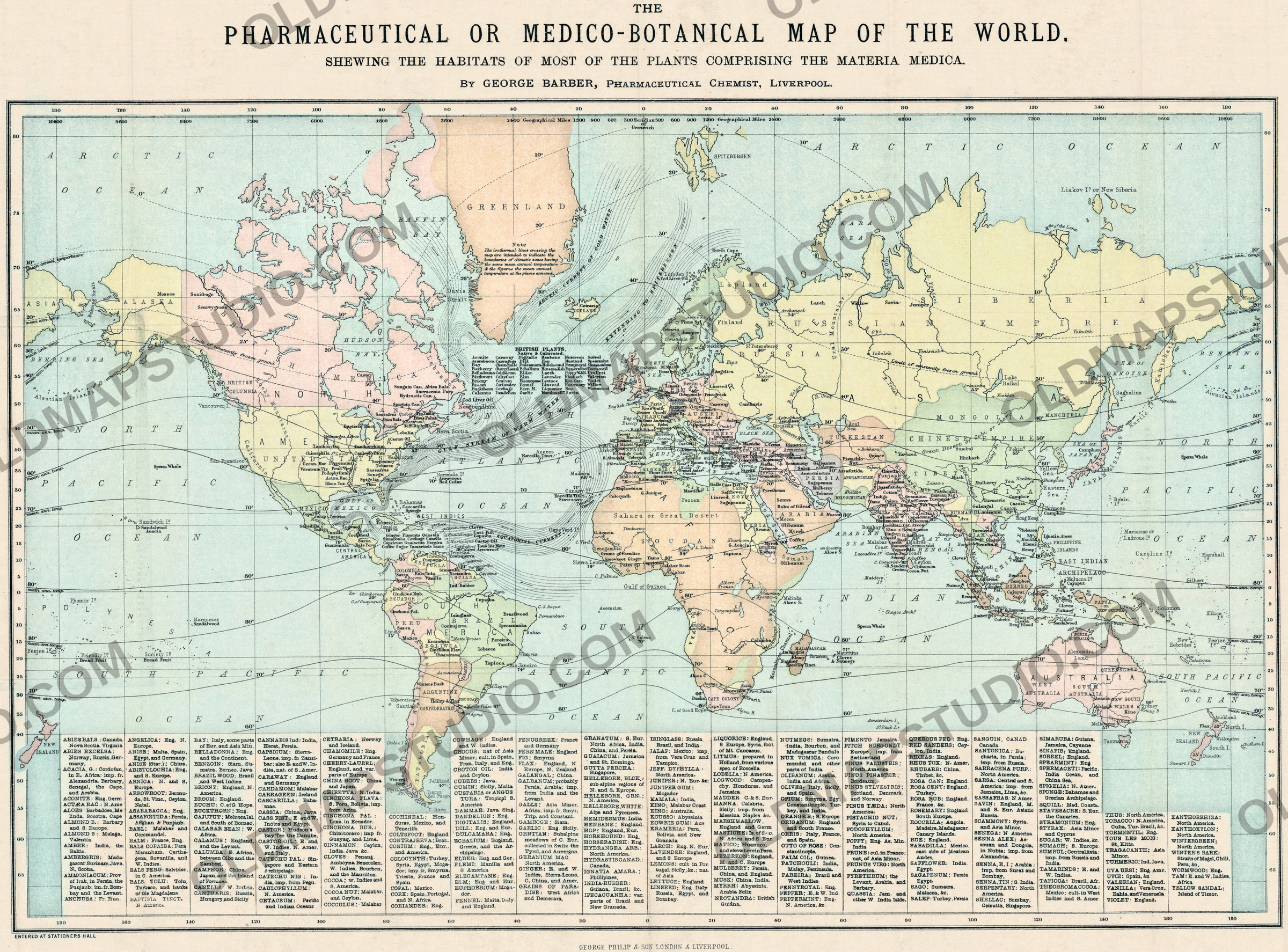
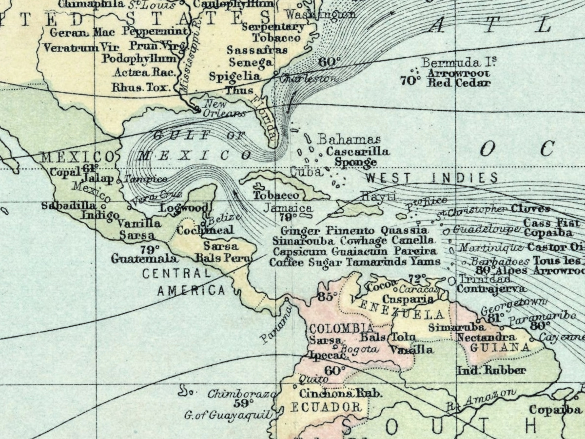
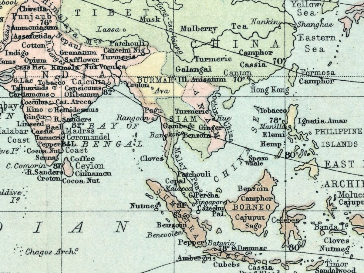
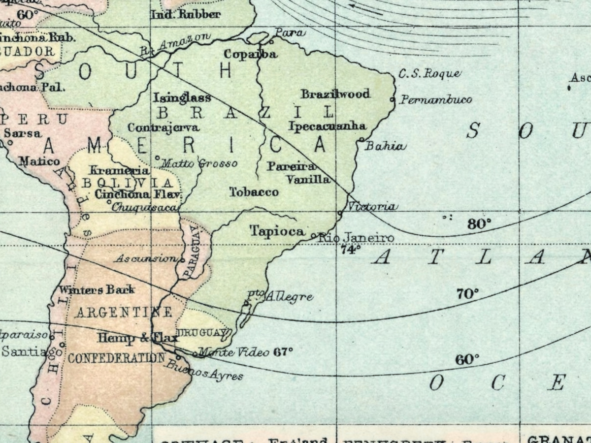
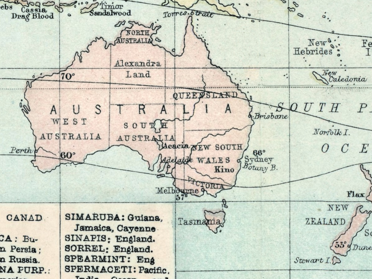
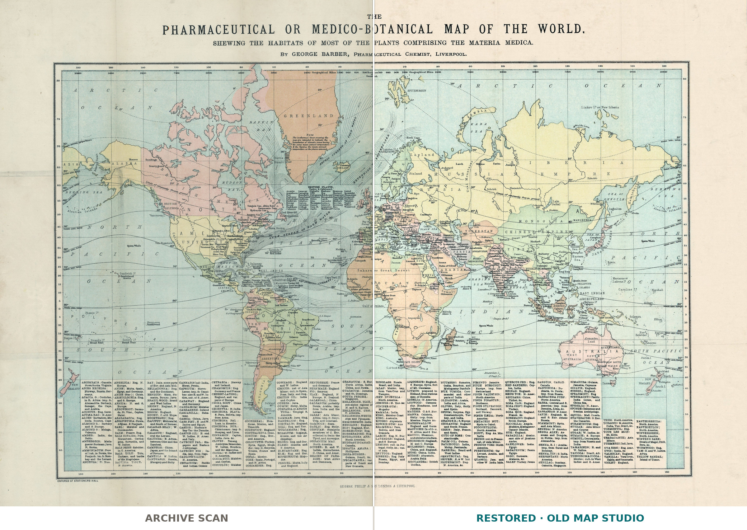
In 1870 George Barber, a pharmaceutical chemist in Liverpool, published a world map that ignores almost everything a world map usually shows. Borders are there only as thin outline color; what fills the sheet is the materia medica — the plants a nineteenth-century pharmacy actually dispensed, each set down where it grows. The full title says so: The Pharmaceutical or Medico-Botanical Map of the World, shewing the habitats of most of the plants comprising the Materia Medica.
What is on the sheet
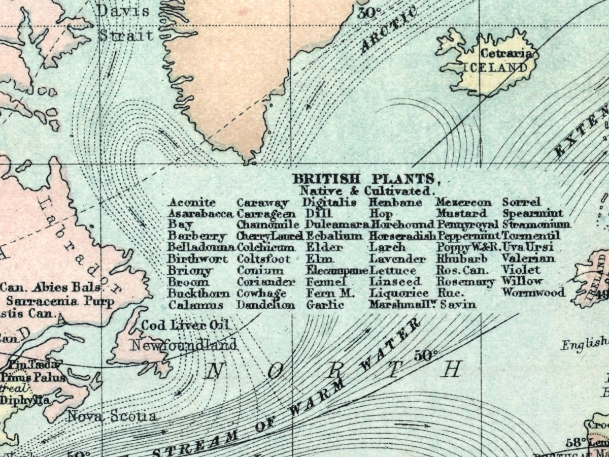
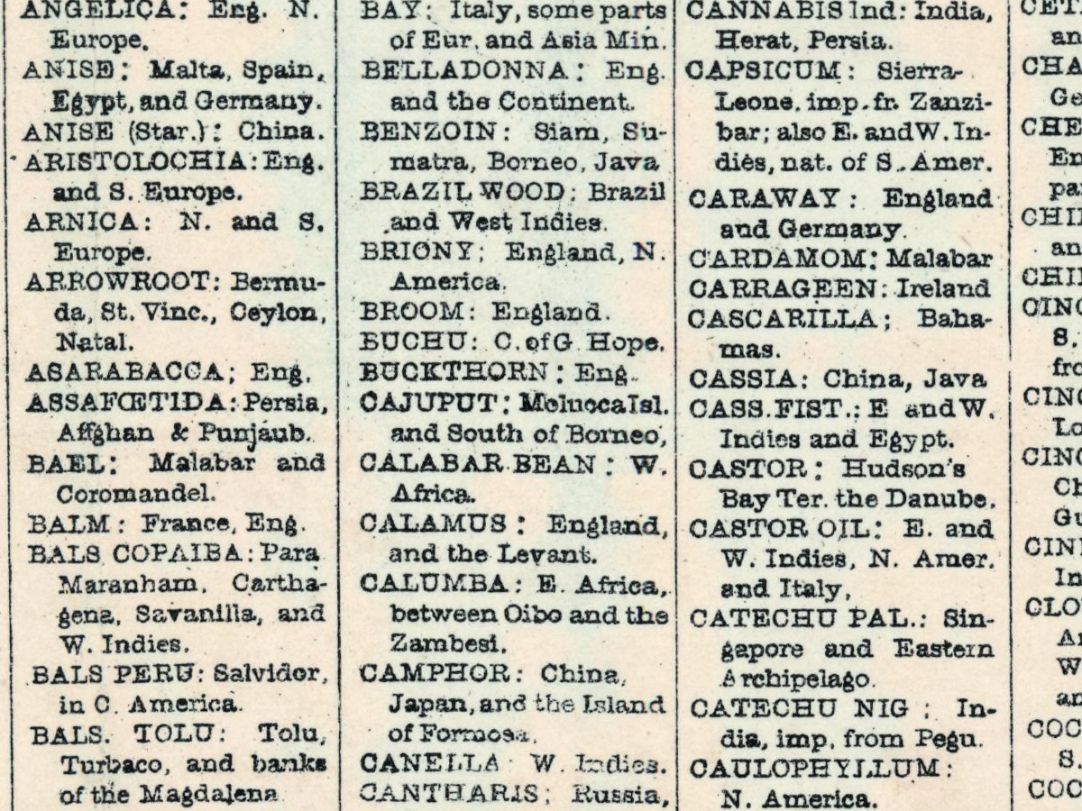
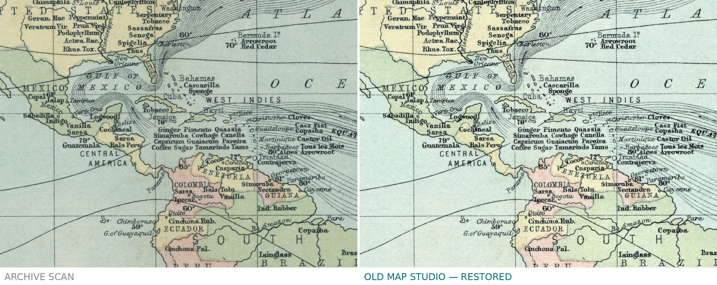
The world is on Mercator's projection, so the trade routes that carried these plants read as straight lines. Names crowd the continents and spill into a dense index along the foot: Cinchona for quinine, Sarsaparilla, Rhubarb, Liquorice, Aristolochia, Vanilla, oak bark, and hundreds more. Read together they map empire as much as botany — a record of where a Liverpool dispensary's stock came from.
Who made it
Barber gives his trade on the sheet itself: Pharmaceutical Chemist, Liverpool. The imprint is George Philip & Son of London and Liverpool, a large Victorian map house, and the lower left corner carries ENTERED AT STATIONERS HALL, the copyright registration of the day. The holding record could not be opened, so the shelfmark, the sheet's measurements and the printing technique are not stated here rather than guessed.
Your file
| Original | George Barber, published by George Philip & Son, London and Liverpool, 1870 |
| Sheet | not stated in the record |
| Scan | 8484 × 5753 px, the library's own scan, not an upscale |
| Print size at 300 dpi | the map prints to 61 cm (24 in), the full sheet with margins to 71 cm |
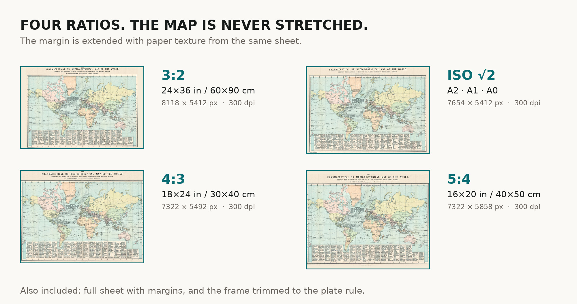
| You download | six ZIP archives: full sheet, trimmed, 3:2, 4:3, 5:4 and ISO A |
| Inside each one | one JPEG at 300 dpi, the restoration passport as a PDF, a READ ME |
How to print
- Print at 300 dpi at the size above; do not let the shop scale the file up.
- Pick the archive whose proportions match your frame.
- The plant index is the point of this sheet, so print it large enough to read.
- Where to print it: print shops near you and checked prices at online labs.
Source and rights
National Library of Scotland. The scan is under CC BY 4.0: the library and the note of modification are in the passport of every archive. Catalogue record: National Library of Scotland →
Questions
What exactly do I get after payment?
Six ZIP archives, each with one JPEG at 300 dpi, the restoration passport as a PDF and a READ ME. No master TIFF is included.
How large can I print it?
The map prints to 61 cm on its long side at 300 dpi, the full sheet with margins to 71 cm. Both figures are measured on the file you receive.
Are the plant names still current?
No. The nomenclature is that of 1870 and much of it has since been revised — which is what makes the sheet a document rather than a reference.
Is this a real antique sheet or a generated image?
A scan of a real sheet in the National Library of Scotland, restored from that scan. Library and year are stated in the passport inside every archive.
Features
- English
Attachments
Reviews
No reviews found
See also
-
 Antique World Map 1848 — Johnston, Zoological Geography
-
Antique World Map 1800 — Wallis, A New Map of the World
-
Antique World Map 1811 — d'Anville, Orbis Veteribus Notus
-
Antique World Map 1628 — Danckerts, Charte Vniuerselle
-
Antique World Map 1677 — Duval, Carte Vniverselle du Commerce
-
Antique World Map 1652 — Sanson, L'Hydrographie