Antique World Map 1811 — Van Schaack, Most Recent Discoveries
Description
An old world map of 1811 that was never printed
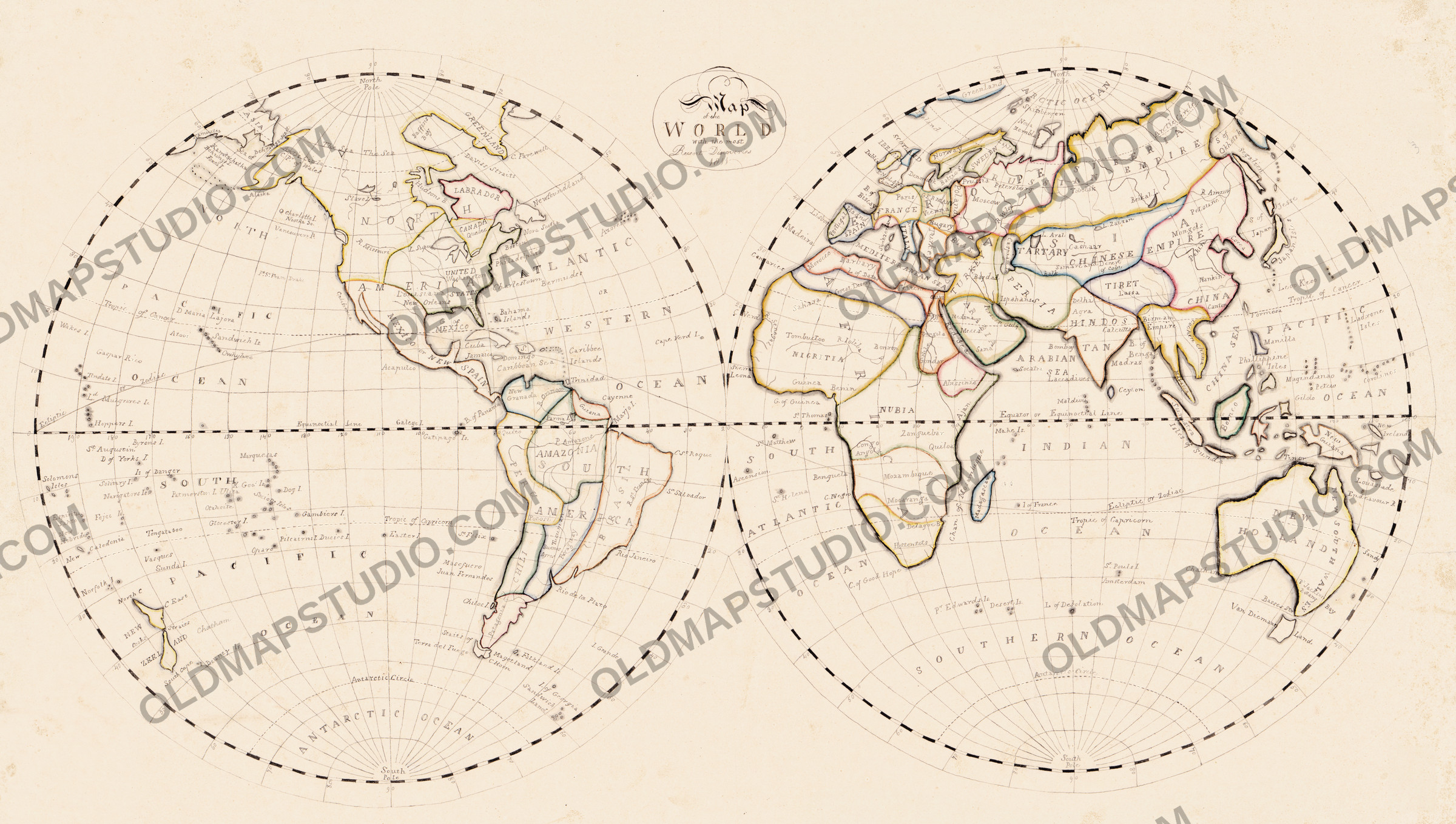
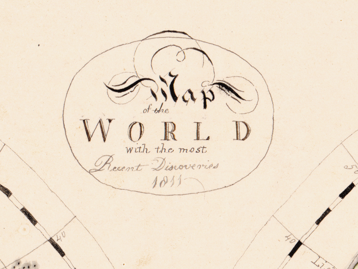
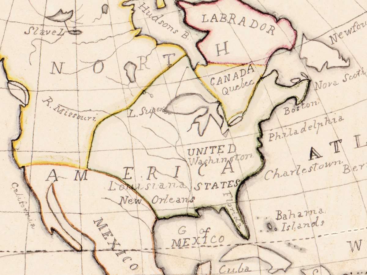
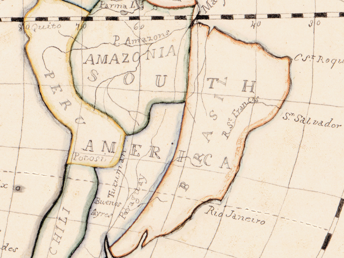
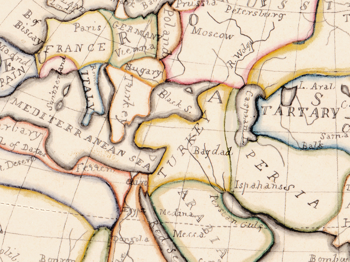
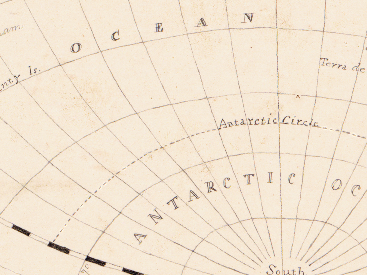
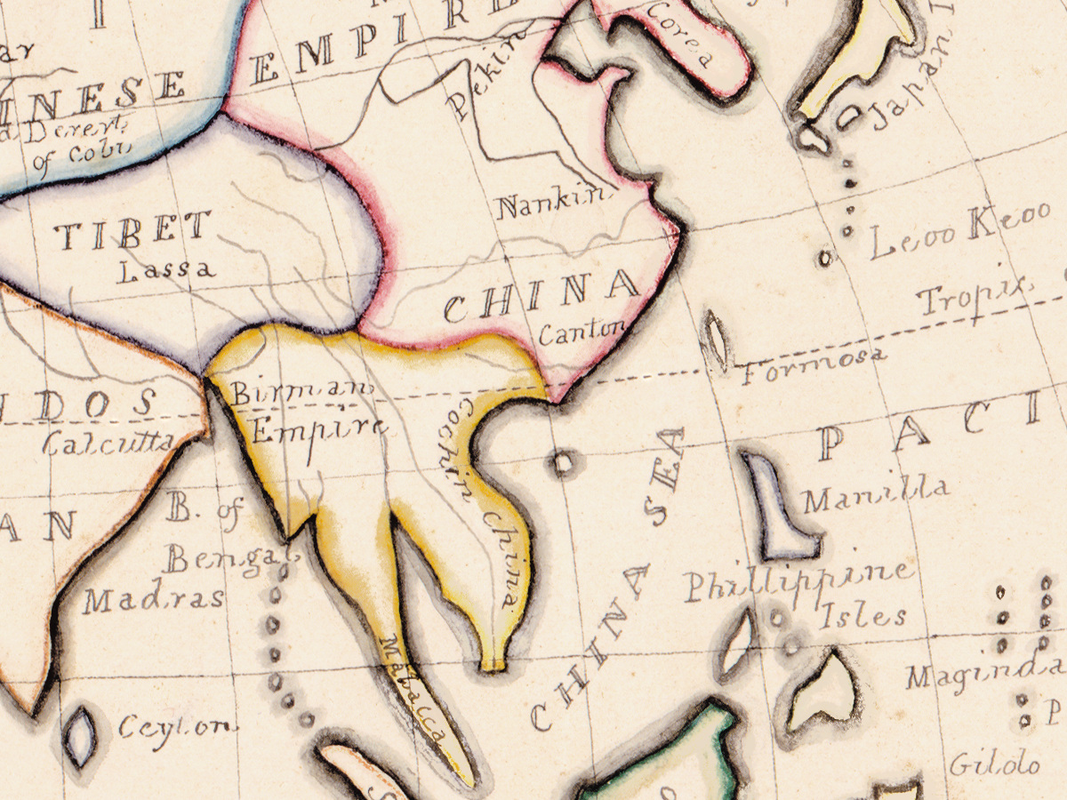
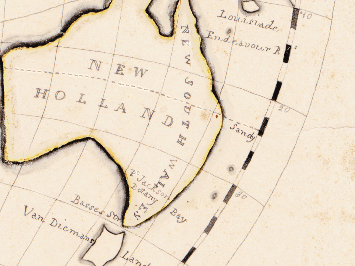
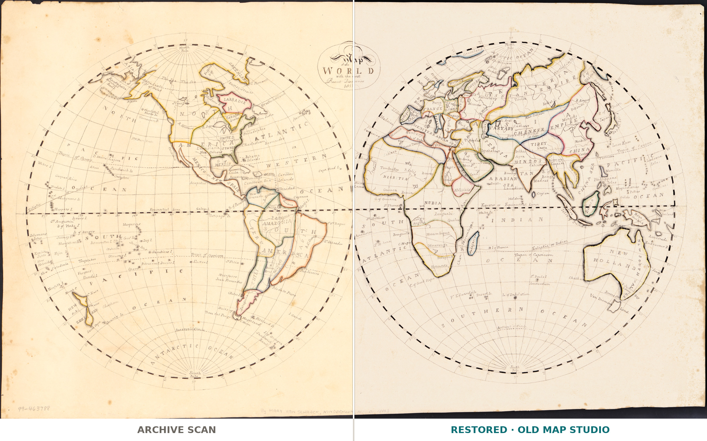
Almost every antique map you can buy began as a copper plate and ended as one of hundreds of impressions. This one did not. Map of the world with the most recent discoveries was drawn by hand, in pen and ink and watercolor, by Mary Van Schaack in 1811, and the Library of Congress catalogues it exactly that way: one map, manuscript, colored. There is no edition, no print run and no second copy. What you are looking at is the sheet itself.
What is on the sheet
Two hemispheres of 32 cm each on a sheet of 40 by 68 cm, lettered in English. The title makes the claim the year allowed — the most recent discoveries — and 1811 is a good moment for that claim: the Pacific had been worked over by Cook and his successors within living memory, and the shape of Australia was newly settled. The Library keeps the sheet as a vault item, under acquisitions control number 99-42.
Who drew it
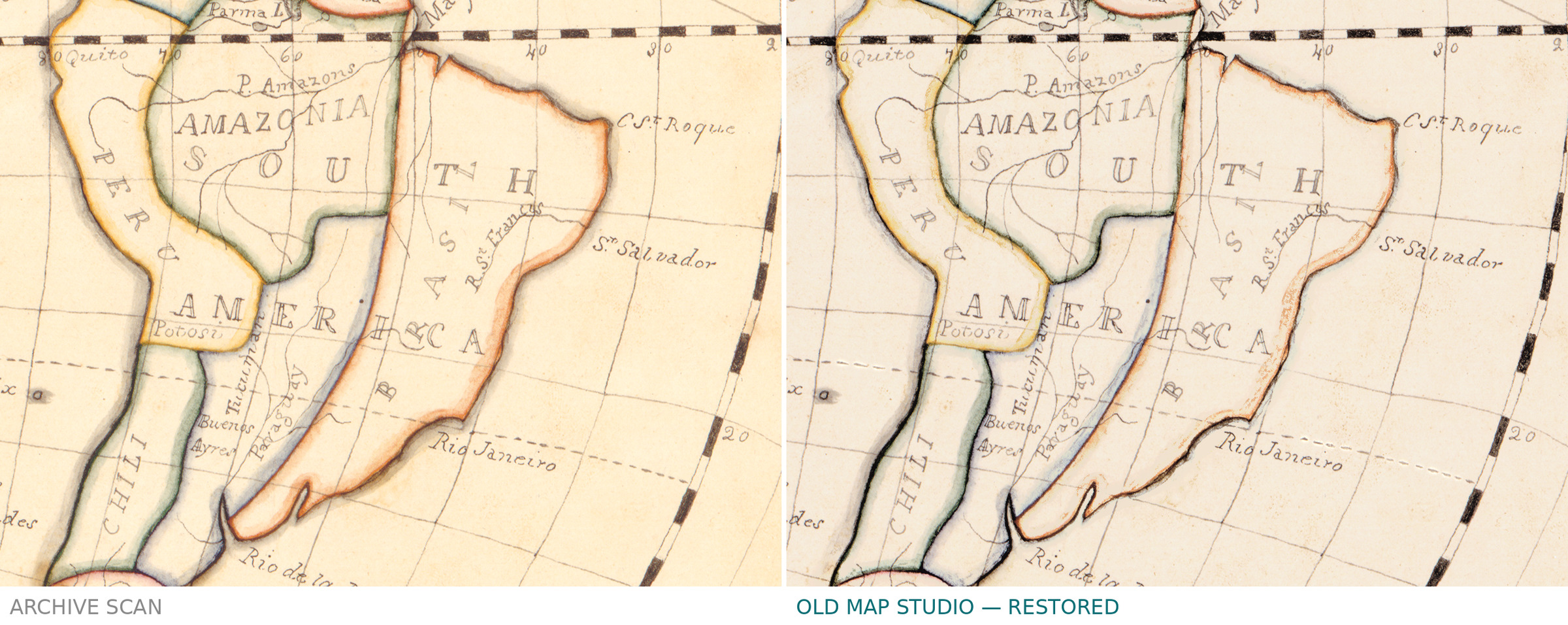
The record gives the author as Mary Van Schaack and nothing more: no dates, no place, no publisher, because a manuscript needs none of them. The catalogue subject heading is simply "World maps, Manuscript". Where she drew it, and why, the record does not say, and we do not invent it for her. What is certain is that every line here was drawn, not pressed, and that the color is original watercolor rather than a colorist's later addition to a print.
Your file
| Original | Mary Van Schaack, manuscript in pen and ink and watercolor, 1811 |
| Sheet | 40 × 68 cm, two hemispheres of 32 cm |
| Scan | full sheet 7951 × 4711 px; the map inside the trimmed border 7720 × 4370 px. From the library's own scan, not an upscale |
| Print size at 300 dpi | the map prints to 65 cm (26 in), the full sheet with margins to 67 cm (26 in) |
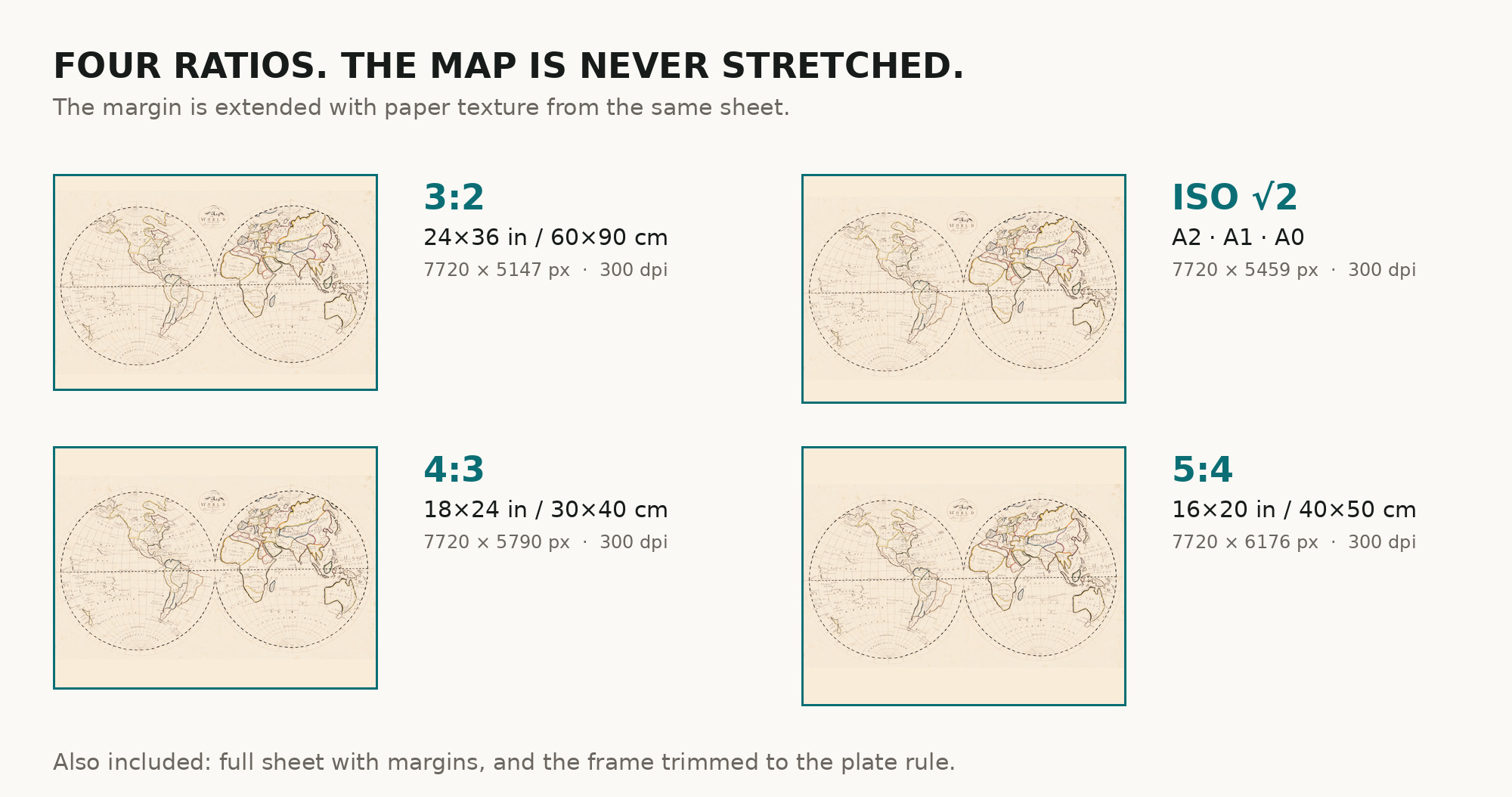
| You download | six ZIP archives: full sheet, trimmed, 3:2, 4:3, 5:4 and ISO A |
| Inside each one | one JPEG at 300 dpi, the restoration passport as a PDF, a READ ME |
How to print
- Pick the archive whose proportions match your frame, so nothing is cropped or stretched.
- Ask for matte fine-art paper, printed in sRGB with auto-enhancement off — a watercolor original loses more than an engraving does to automatic contrast.
- Where to print it: print shops near you and checked prices at online labs.
Source and rights
Library of Congress, Geography and Map Division, call number G3200 1811 .V2, LCCN 99463788. The Library states the content is free to use and reuse, crediting Library of Congress, Geography and Map Division. There is no TIFF master in the package. Catalogue record: Library of Congress →
Questions
What exactly do I get after paying?
Six ZIP archives, each with one JPEG at 300 dpi, a restoration passport as a PDF and a READ ME. They differ only in framing.
How large can I print it?
At 300 dpi the map comes to 65 cm on the long side, the full sheet with margins to 67 cm — measured on the file you receive.
Is this a real antique map or a generated image?
A scan of a real manuscript sheet of 1811 held by the Library of Congress under call number G3200 1811 .V2. Restoration evens the paper tone; it does not redraw the map.
Features
- English
Attachments
Reviews
No reviews found
See also
-
 Antique World Map 1652 — Sanson, L'Hydrographie
-
Antique World Map 1550 — Münster, Typus Orbis Universalis
-
Antique World Map 1628 — Danckerts, Charte Vniuerselle
-
Antique World Map 1596 — Typus Orbis Terrarum
-
Antique World Map 1800 — Wallis, A New Map of the World
-
Antique World Map 1684 — Sanson, Mappa Mondo