Antique World Map c. 1867 — Drioux, Planisphère
Description
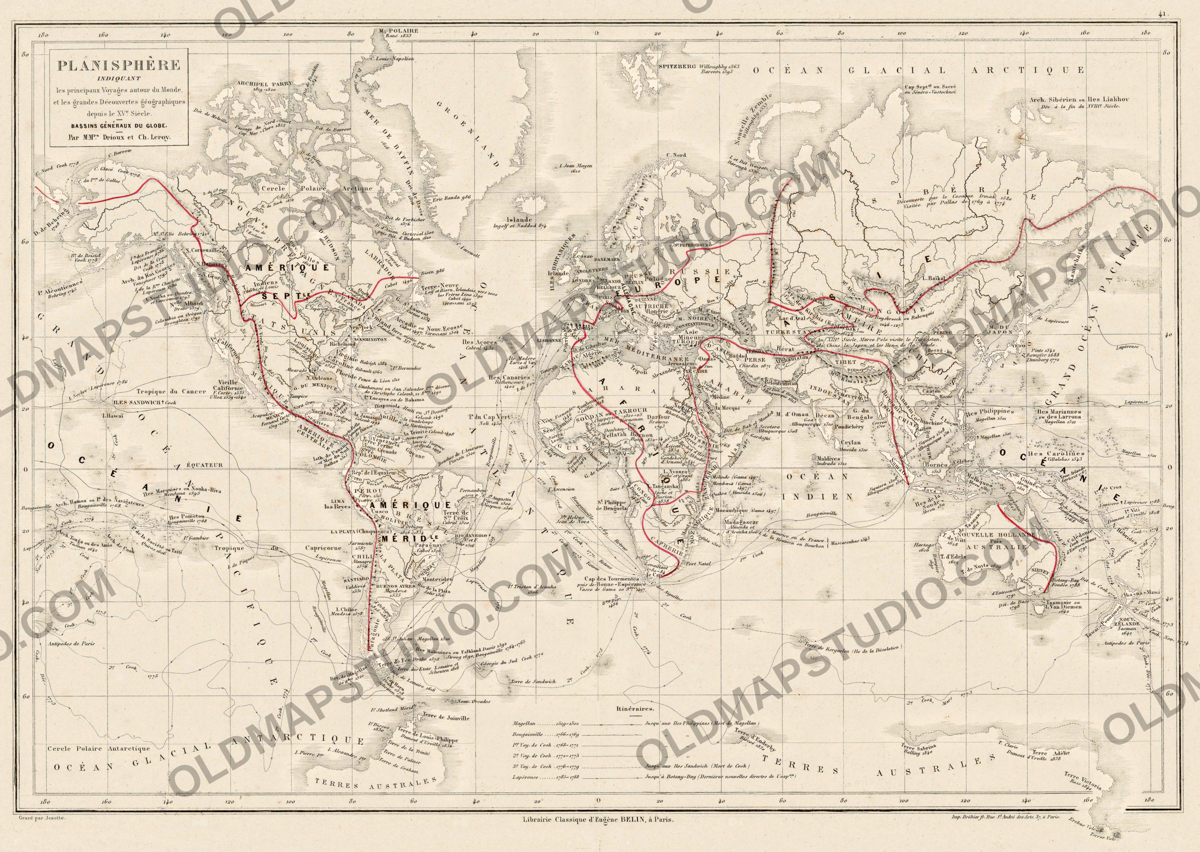
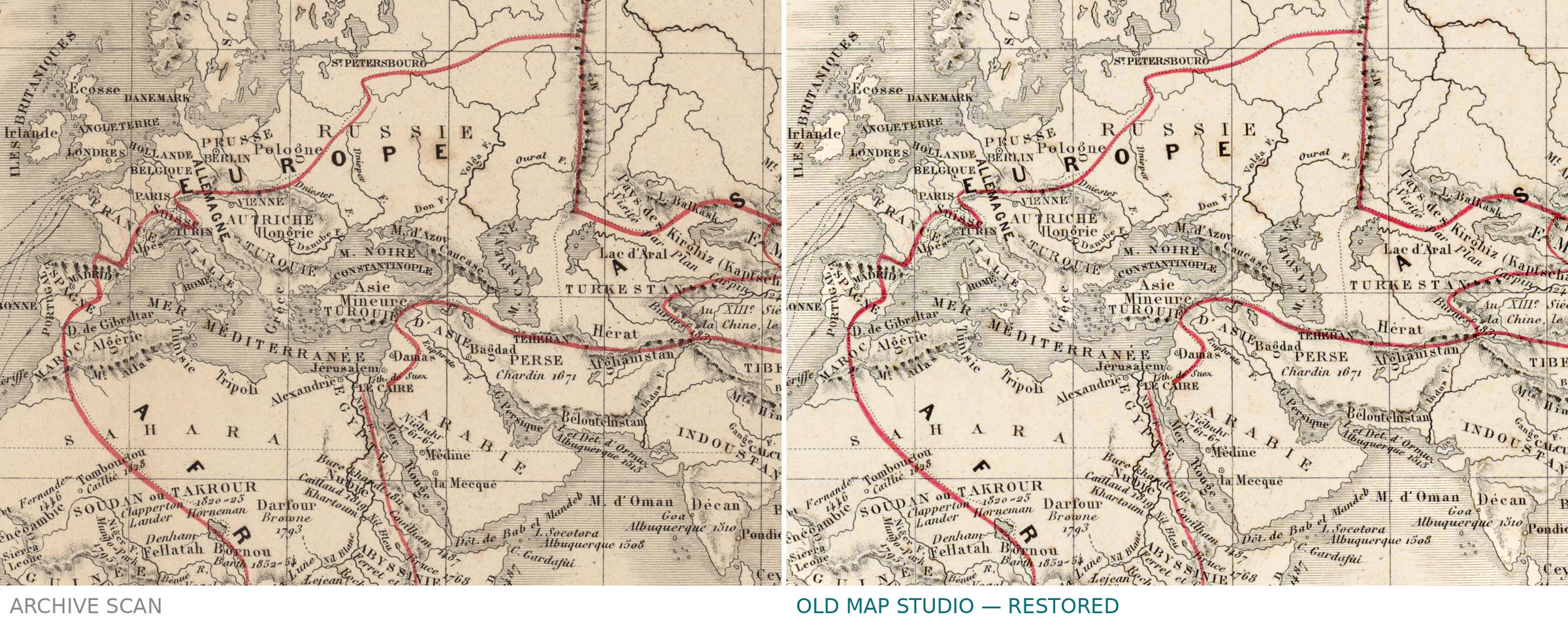
An antique world map of voyages of discovery, Paris, c. 1867
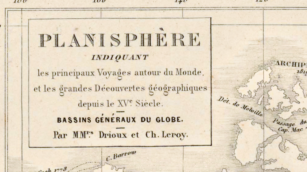
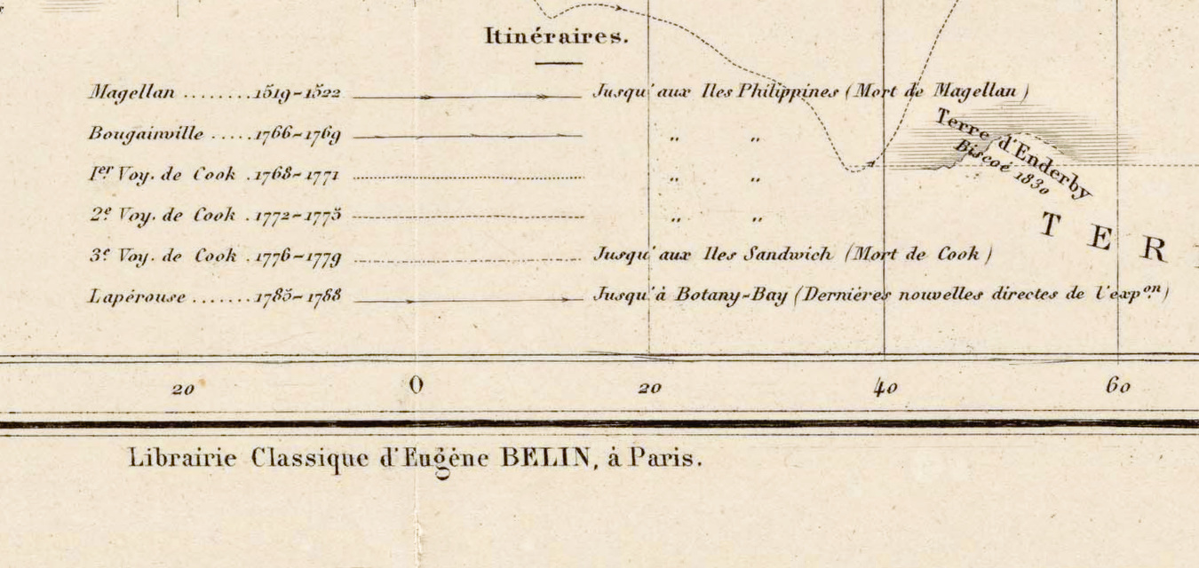
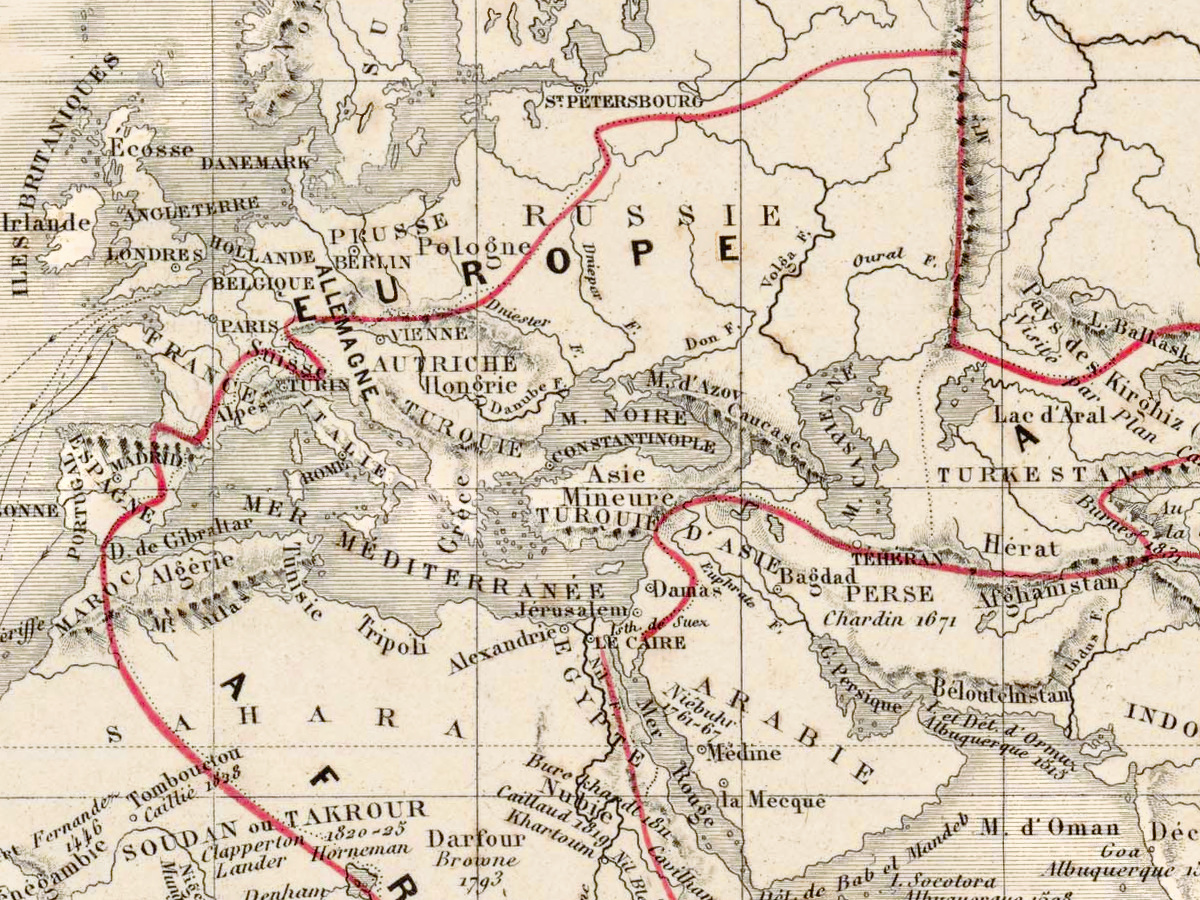
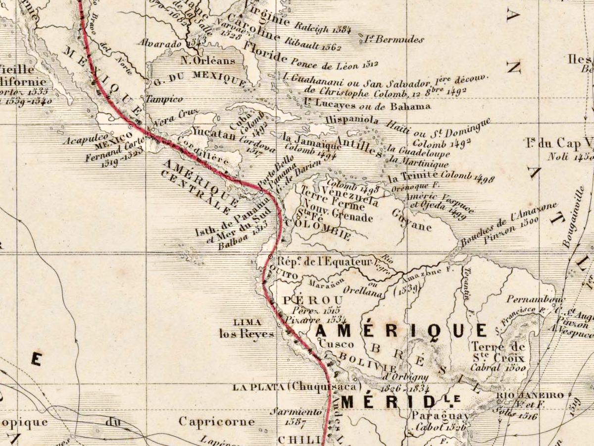
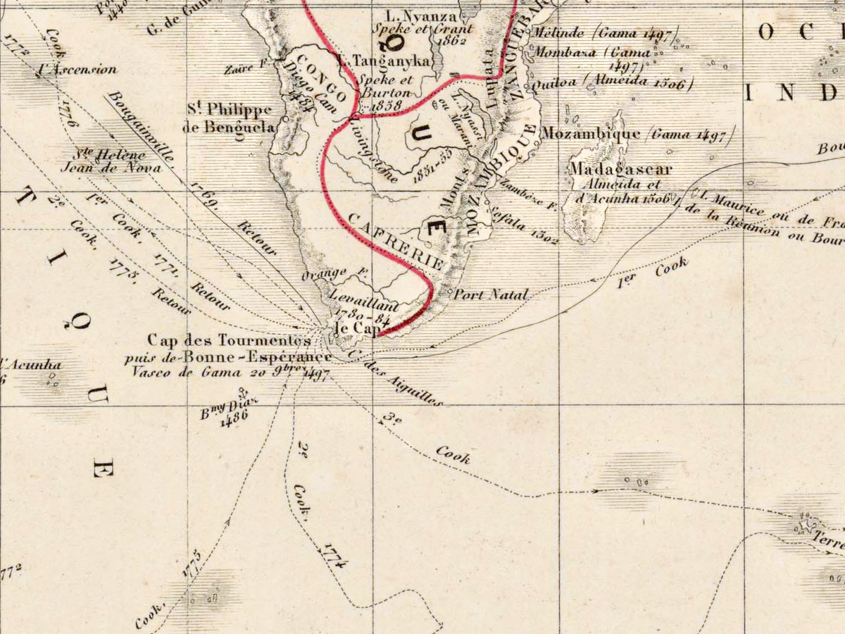
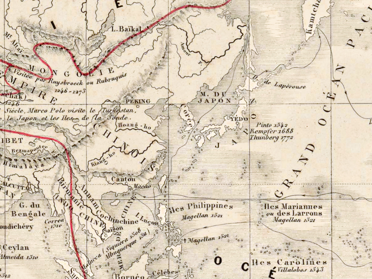
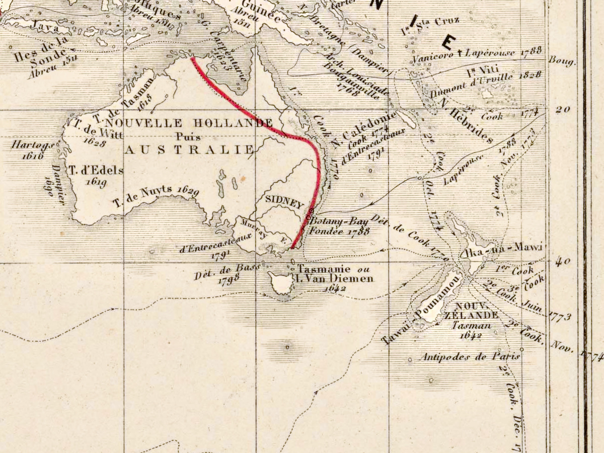
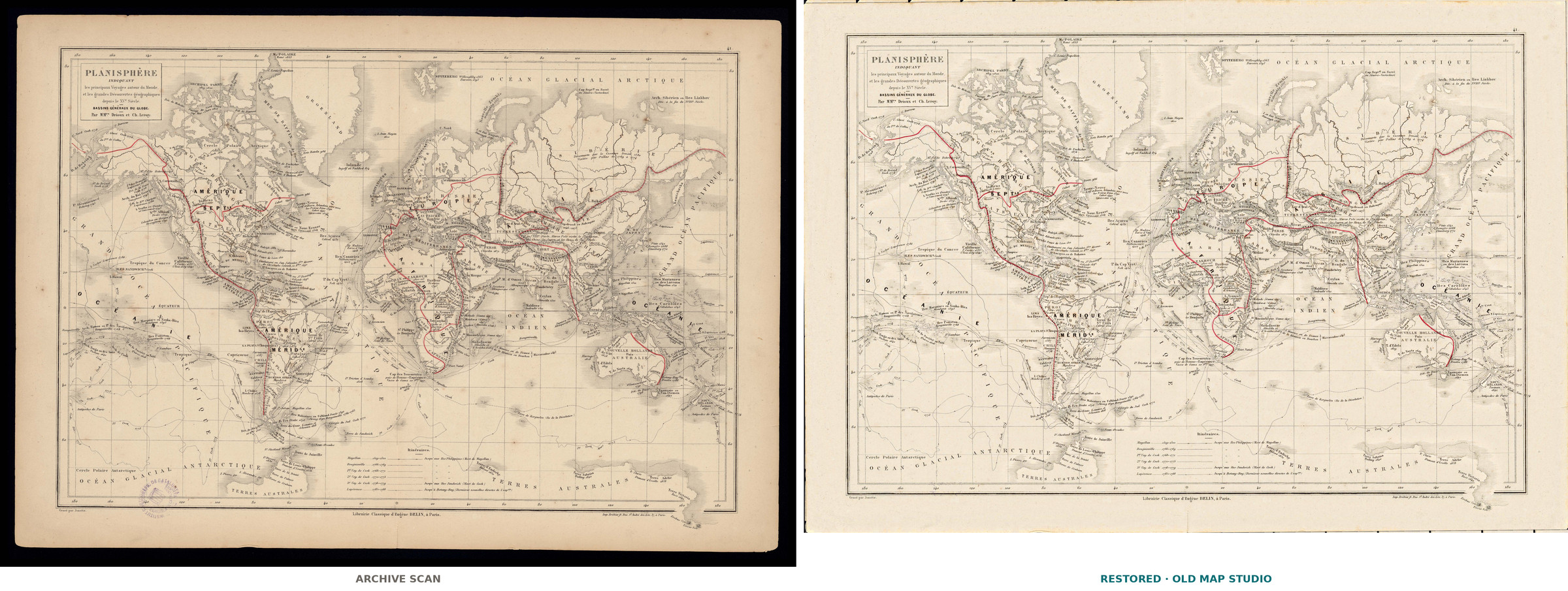
This planisphere sets out to show the principal voyages around the world. Its lettering names the authors as “MMrs Drioux et Ch. Leroy”, the engraver as Jenotte and the publisher as the Librairie Classique d’Eugène Belin in Paris; the catalog of the Institut Cartogràfic i Geològic de Catalunya dates it to about 1867.
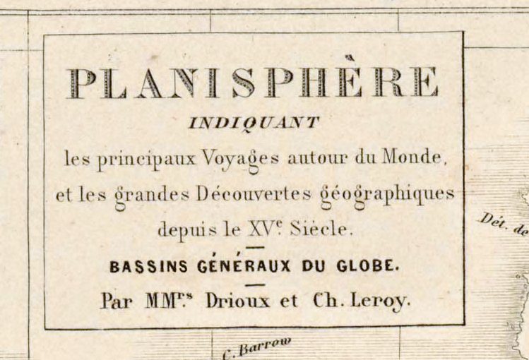
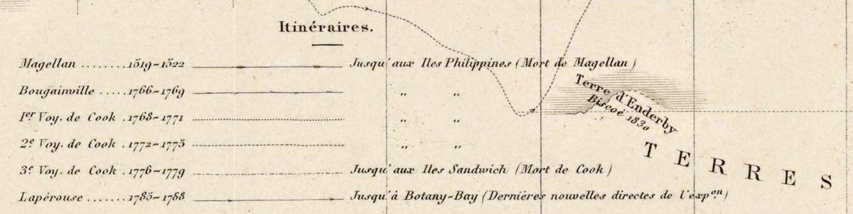
Claude-Joseph Drioux and Charles Leroy are the authors of the Atlas universel et classique de géographie ancienne, romaine, du moyen âge, moderne et contemporaine, a Belin atlas for use in public educational establishments. The Museo Naval in Madrid holds a sheet from an 1863 edition, described as a new enlarged edition, and the David Rumsey Map Collection an 1886 edition. In the Rumsey copy the planisphere’s full title continues “and the great geographical discoveries since the 15th century”, and the map comes with a table naming each explorer, his route and the date.
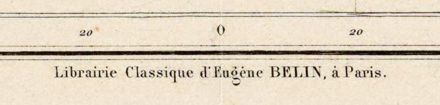
The catalog transcribes the names as “Driox” and “Eugéne Berlin”; the sheet itself reads “Par MMrs Drioux et Ch. Leroy” and “Librairie Classique d’Eugène BELIN, à Paris”, and this description follows the sheet.
The Institut Cartogràfic i Geològic de Catalunya keeps this copy as RM.41941, a sheet of 34 × 48 cm, and publishes its scan under the Public Domain Mark. Your file is made from that scan.
Your file
| Original | Paris, c. 1867, Institut Cartogràfic i Geològic de Catalunya RM.41941; sheet 34 × 48 cm |
| Scan | full sheet 5631 × 3927 px; the map inside the trimmed border 5150 × 3655 px |
| Print size at 300 dpi | the map prints to 43 cm (17 in), the full sheet with margins to 47 cm (19 in) |
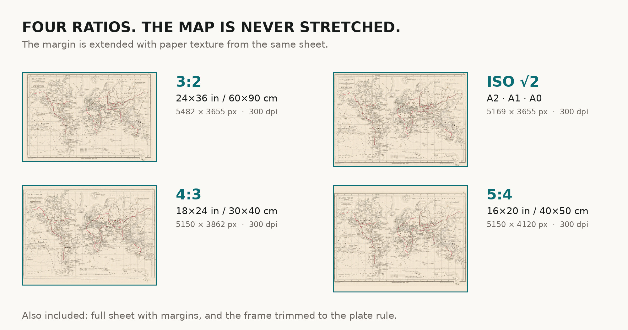
| You download | six ZIP archives: full sheet, trimmed, 3:2, 4:3, 5:4 and ISO A |
| Inside each one | one JPEG at 300 dpi, the restoration passport as a PDF, a READ ME |
How to print
- At 300 dpi the map prints to 43 cm. Pick the archive whose proportions match your frame; ask for matte fine-art paper in sRGB with auto-enhancement off.
- Where to print it: print shops near you and checked prices at online labs.
Source and rights
The file is made from the scan of the Institut Cartogràfic i Geològic de Catalunya, which marks it with the Public Domain Mark. The record names the engraver, Jenotte, but not the printing technique or any coloring. There is no TIFF master in the package. Catalogue record: Cartoteca Digital ICGC →
Features
- French
Attachments
Reviews
No reviews found
See also
-
 Old World Map — Leipzig Mappa Mundi, Jomard Facsimile
-
Antique World Map c. 1488 — Le Rouge, La mer des hystoires
-
Antique World Map 1708 — De la Feuille, Mapemonde Planisphere
-
Antique World Map 1826 — Tanner, Terra Veteribus Nota
-
Antique World Map c. 1508 — Egerton Atlas, Stevenson Facsimile 1911
-
Antique World Map c. 1816 — Elizabeth Knight, Map of the World