Antique World Map — Turin Beatus Map, Miller Facsimile 1895, Plate 8

Description
An antique world map from Miller’s Mappaemundi, 1895
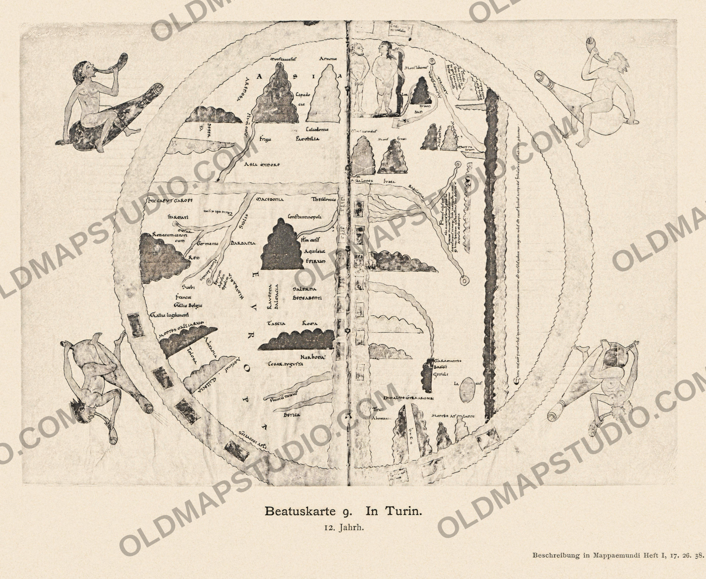
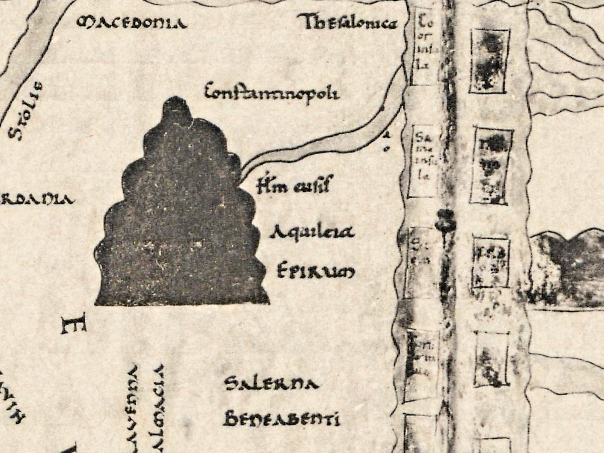
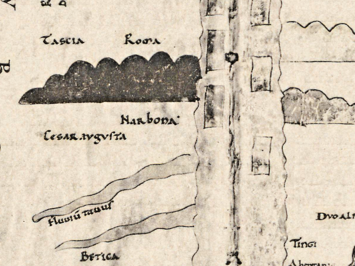
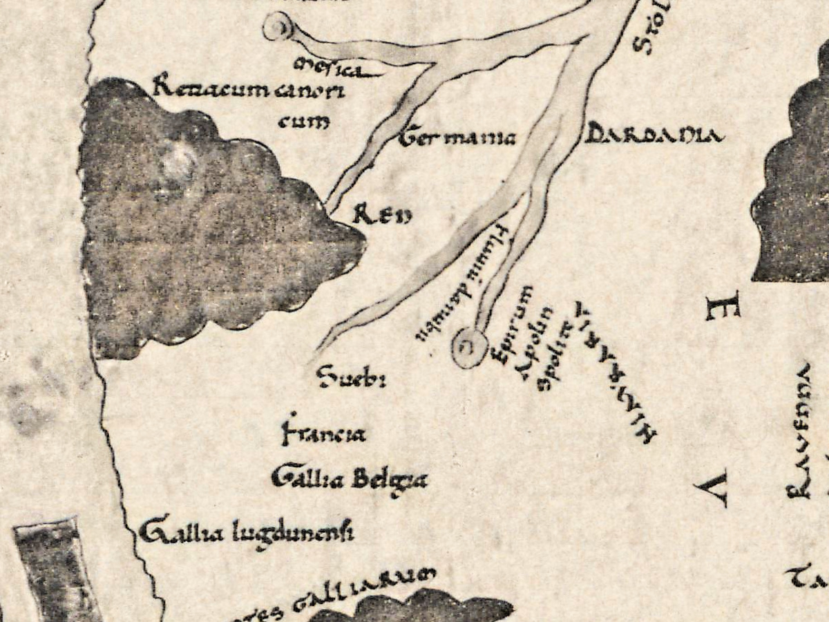
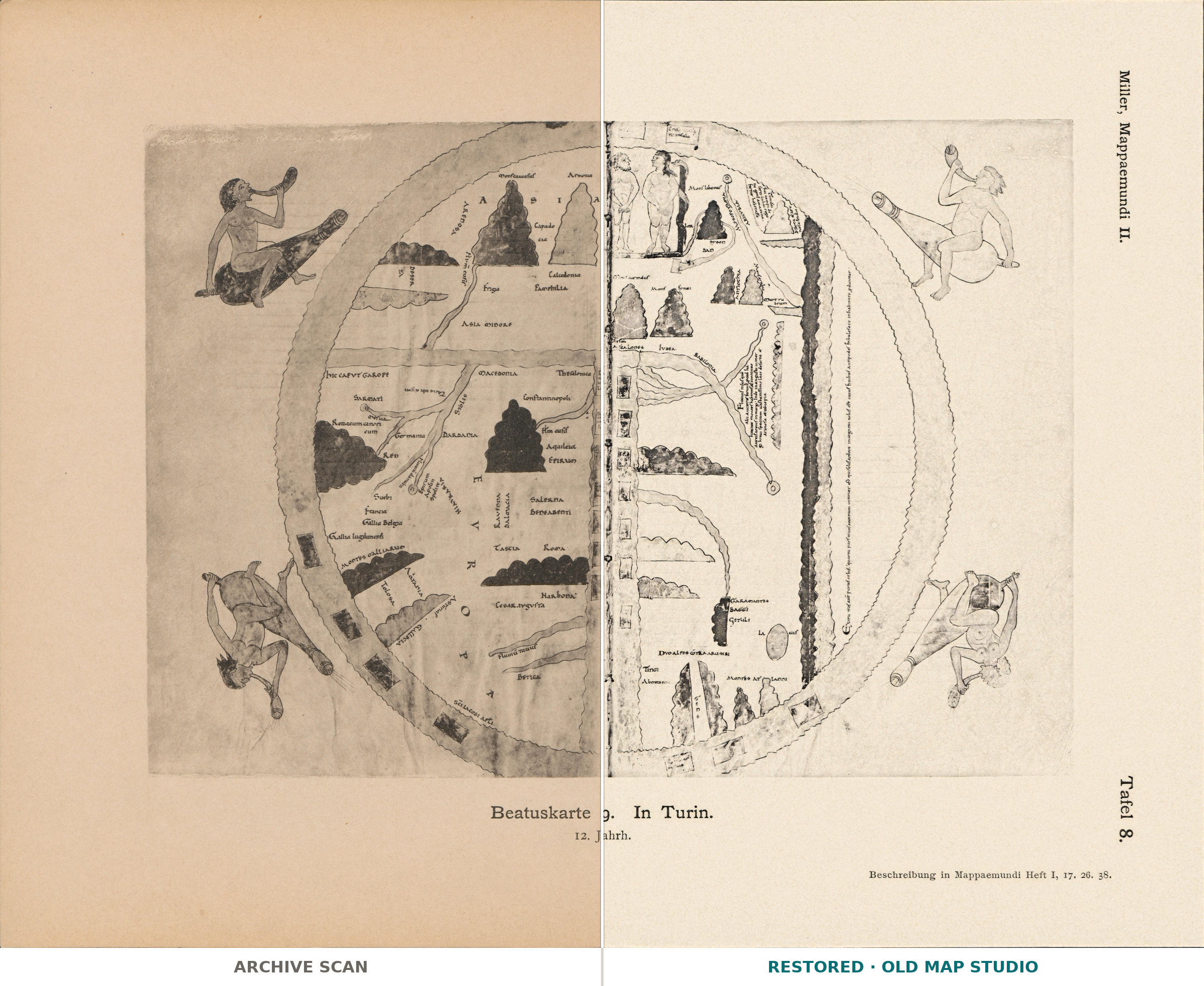
This plate reproduces the world map of the Turin Beatus, a manuscript of the Commentary on the Apocalypse by Beatus of Liébana, now in the Biblioteca Nazionale Universitaria in Turin. Konrad Miller printed it as Tafel 8 in the atlas part of Mappaemundi: Die ältesten Weltkarten (“the oldest world maps”), published in Stuttgart by J. Roth in six parts between 1895 and 1898. He devoted the first part of the series to this family of maps: Die Weltkarte des Beatus (776 n. Chr.).
The History of Cartography (1987) traces the large Beatus maps, “of which fourteen survive”, back to a lost prototype of 776–86, and explains their purpose: “the apostles were to go into every corner of the earth”. The Catalan reference work Catalunya Romànica dates the Turin manuscript to the first years of the twelfth century and reports the conclusion of the scholars Cid and Vigil that it is a copy made at Girona from the Girona Beatus. It went through the fire in the Turin library in 1904; scholars disagree on how much it suffered. John Williams reproduced it in the volume of The Illustrated Beatus devoted to the eleventh and twelfth centuries (2002).
Konrad Miller (1844–1933) was a Catholic priest who taught natural sciences at the Realgymnasium in Stuttgart; from 1895 he published the Mappaemundi, the world maps of the Christian Middle Ages (Neue Deutsche Biographie).
What to look for on the sheet
The plate reproduces the manuscript map, which Catalunya Romànica and The History of Cartography describe:
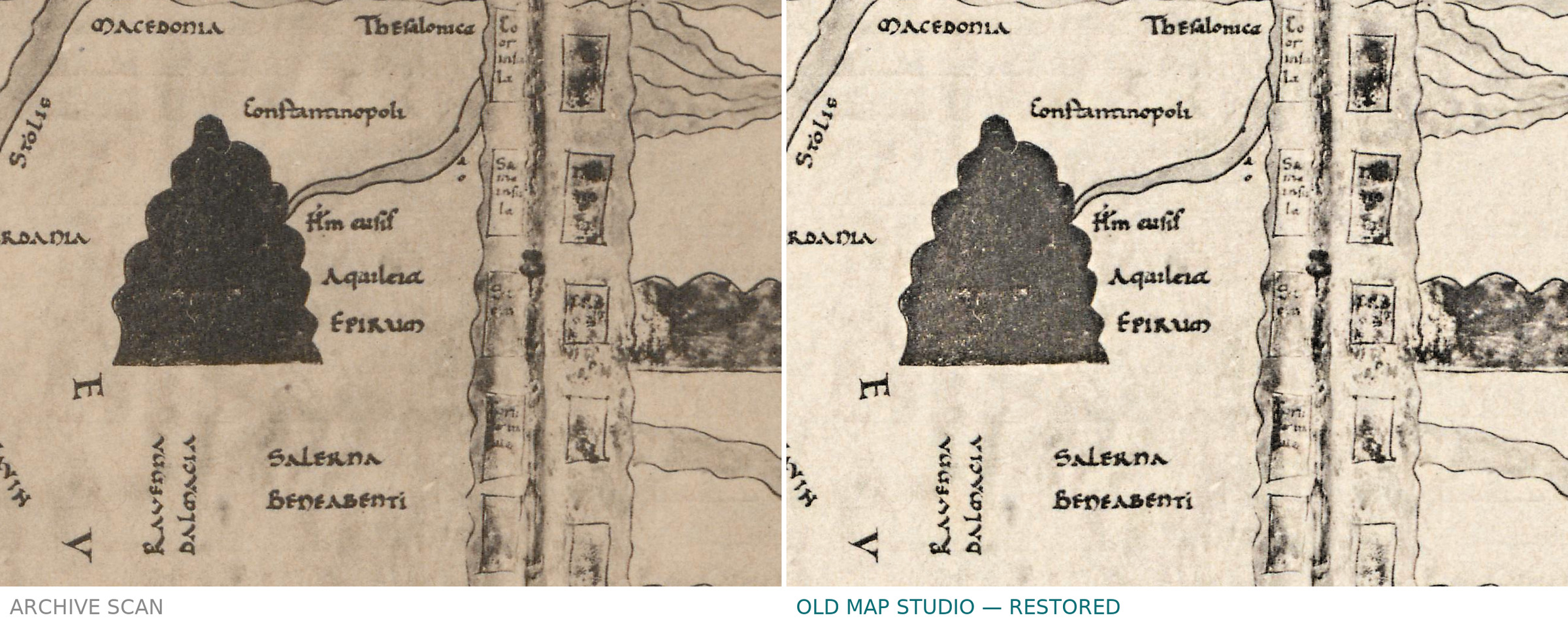
- The known world in three parts, Europe, Asia and Africa, gathered around a Mediterranean filled with islands.
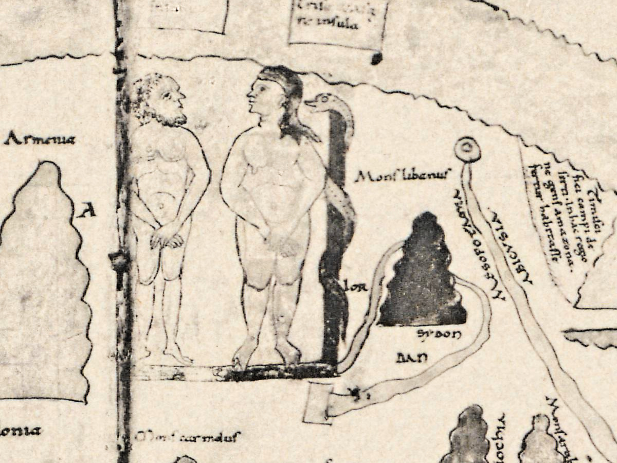
- Paradise in Asia, with Adam, Eve and the serpent.
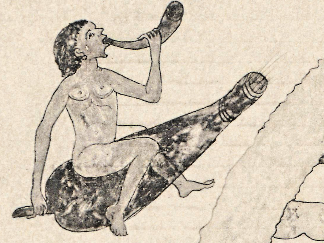
- The four cardinal winds as naked figures blowing horns and riding inflated skins.
- An ocean ring with named islands, among them Tile, Britania, Scotia and Fortunarias.
- A fourth part of the world, with a legend that The History of Cartography quotes from this manuscript, in its author’s translation: “outside the three parts of the world there is a fourth part, the farthest from the world, beyond the ocean, which is unknown to us on account of the heat of the sun.”
Your file
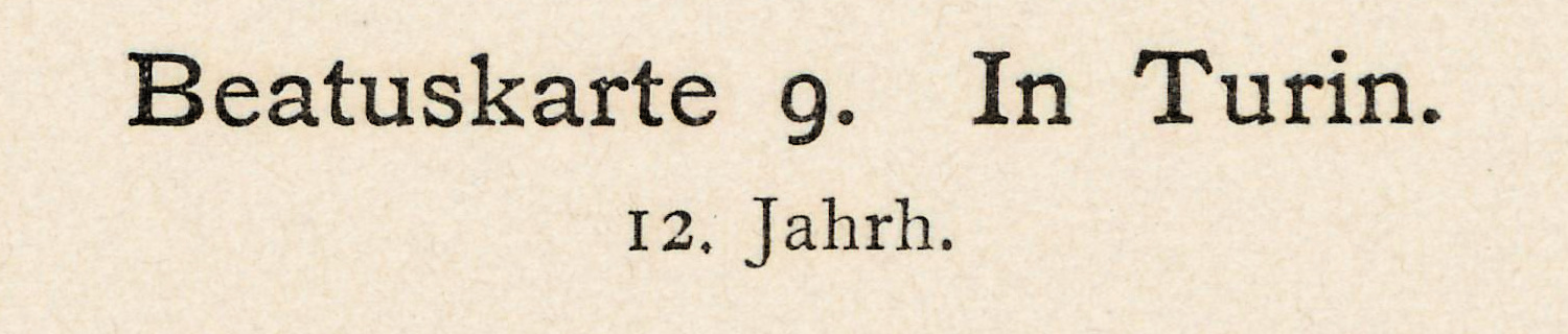
| Original | Konrad Miller, Mappaemundi, Heft 2 (atlas), Stuttgart: J. Roth, 1895, Tafel 8, captioned “Beatuskarte 9. In Turin. 12. Jahrh.”; after the Turin Beatus, Biblioteca Nazionale Universitaria, Turin |
| Scan | full sheet 6831 × 5380 px; the map inside the trimmed border 5653 × 4630 px |
| Print size at 300 dpi | the map prints to 47 cm (19 in), the full sheet with margins to 57 cm (22 in) |
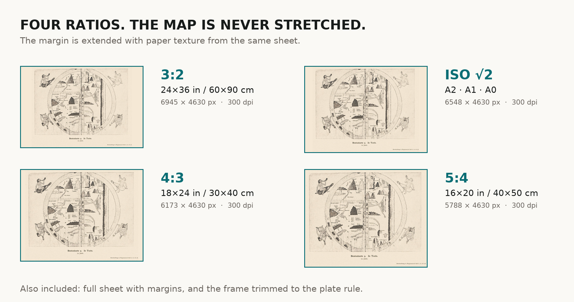
| You download | six ZIP archives: full sheet, trimmed, 3:2, 4:3, 5:4 and ISO A |
| Inside each one | one JPEG at 300 dpi, the restoration passport as a PDF, a READ ME |
How to print
- The sheet is horizontal. At 300 dpi the plate prints to 47 cm. Pick the archive whose proportions match your frame; ask for matte fine-art paper in sRGB with auto-enhancement off.
- Where to print it: print shops near you and checked prices at online labs.
Source and rights
The scan comes from e-rara.ch, the Swiss platform for digitized rare books (plate image 11583333). Its record of the atlas, DOI 10.3931/e-rara-38523, reads “Die ältesten Weltkarten / 2 Atlas von 16 Lichtdruck-Tafeln : von Konrad Miller”, Jos. Roth’sche Verlagshandlung, 1895, 16 plates, and lists its contents as “Psalter-Karte, Beatus, Cotton Map, Hieronymus, Heinrich von Mainz, Higden”. Konrad Miller died in 1933; the plates are in the public domain. The scanned copy is held by ETH Library Zurich, shelfmark Rar K 257: 2 (e-rara record 11583321), and carries the Public Domain Mark. The size of the plates is not given here. There is no TIFF master in the package. Catalogue record: e-rara →
Features
- Latin
Attachments
Reviews
No reviews found
See also
-
 Antique World Map — Beatus Map Paris II, Miller Facsimile 1895, Plate 2
-
Antique Holy Land Map c. 1150 — Jerome, Miller Facsimile 1895, Pl. 12
-
Antique World Map c. 1845 — Johnston, Botanical Geography
-
Antique Map of Europe 1570 — Ortelius, Europae
-
Antique World Map c. 1190 — Sawley Map, Miller Facsimile 1895, Plate 13
-
Antique Map of Asia 1570 — Ortelius, Asiae Nova Descriptio