
World maps printed between 1700 and 1799, from Herman Moll and Guillaume Delisle to the charts redrawn after Cook's voyages. Each is restored from a named library scan and ready to print at 300 dpi.
The world on maps of the 1700s
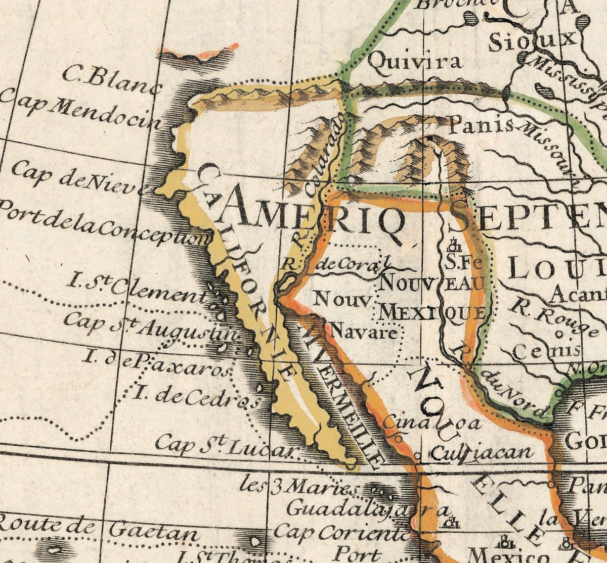
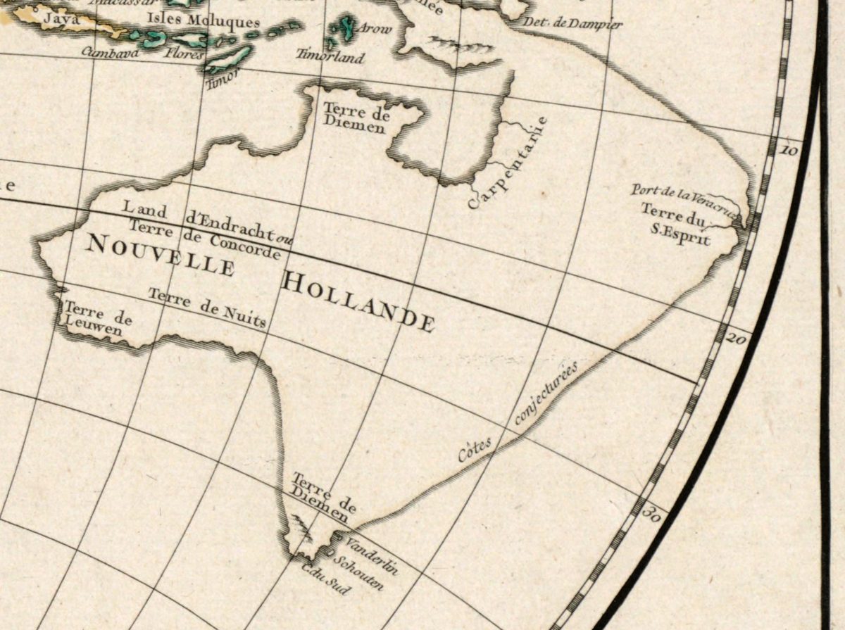
In the eighteenth century the world map became a work of measurement. Guillaume Delisle, who had learned from Cassini to fix positions by astronomical observation, greatly reduced the errors in longitude of earlier maps; his western hemisphere, drawn in 1720 for the young Louis XV, makes California a peninsula and simply stops the coast north of Cape Mendocino. Herman Moll in London drew the trade winds and the monsoon across the oceans, and Robert de Vaugondy in Paris marked where a coast was only conjectured.
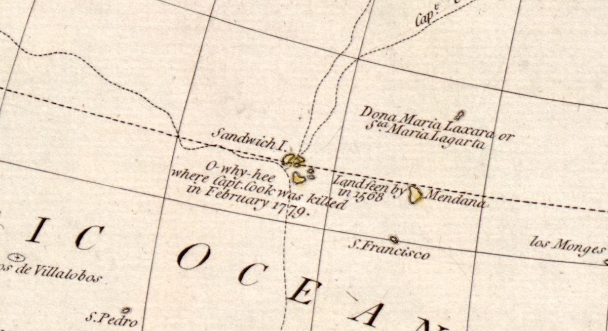
The century ends in the Pacific. Anson’s route of 1743 crosses Vaugondy’s map of 1752, and after James Cook’s three voyages of 1768–1780 the maps of Bowles, Delamarche and the London chart of 1799 trace his tracks to the Bering Strait and to Hawaii, where he was killed in February 1779. Not every shop kept up: in Augsburg Seutter still engraved California as an island about 1740.
The 1700s maps in this collection
- Wells’s Terraqueous Globe, 1700, and Moll’s maps of 1706, with the trade winds and monsoons, and 1709.
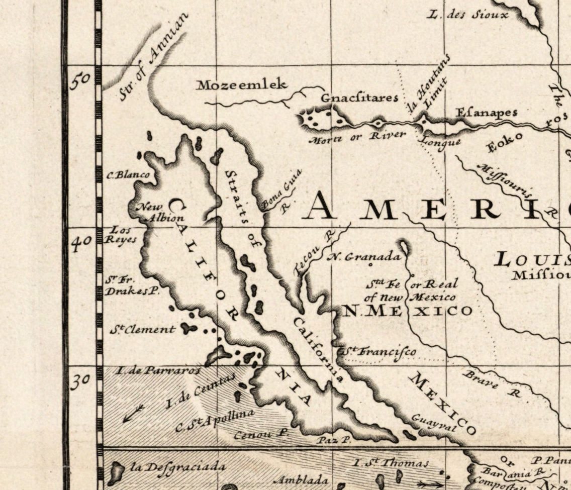
- Three maps that keep California an island: De la Feuille, 1708, Renard, 1715, and Seutter, about 1740, with eight small globes around its hemispheres.
- Guillaume Delisle: the world known to the ancients (1714), the Mappemonde of 1720, the western and eastern hemispheres of 1724, and the large northern and southern hemispheres issued about 1740.
- Hōtan’s Buddhist world map, Kyoto 1710, with Lake Anavatapta at the centre and Europe as islands in the corner, and a Russian world map of about 1750.
- Le Rouge, 1744; Robert de Vaugondy’s Mappemonde and Orbis vetus of 1752, the second with Atlantis laid over America; the Earth’s western planisphere of 1757; Bellin’s Carte réduite du globe, 1764; and Brion de la Tour, 1778.
- After Cook: Bowles, about 1780, Delamarche, 1786, Dunn, 1794, and the Chart of the World of 1799, engraved for Guthrie’s System of Geography.
- Two later prints of older maps: Hajji Ahmed’s heart-shaped Ottoman world map of 1559, printed in 1795, and the Borgia map of about 1450 in the facsimile of 1797.
Between the 1600s and the 1800s
Set beside the 1600s, these maps have lost most of their ornament and gained notes, dates and tracks: a coast is labelled with the ship and the year that saw it. By the 1800s the outlines are nearly complete, and world maps turn to other subjects — the compass, plants, animals, history. The long life of the island is collected in California as an island.
Choosing and printing a 1700s map
Sizes run from 17 cm for Brion de la Tour’s small map of 1778 to 145 cm for Hōtan’s woodblock map; Delisle’s large hemispheres print cleanly to 92–99 cm. French and English maps of the century carry dense, small lettering — notes on routes, dates and discoveries — so a print of 60 cm or more makes them easier to read. Each listing states the largest size the sheet prints cleanly at 300 dpi.
Questions
What did the world map look like in 1700?
Much like the maps of the late 1600s: two hemispheres, California an island on most sheets, Australia as New Holland with its west and north coasts only, and the north Pacific between Asia and America unknown. Moll’s map of 1706 is a good picture of it, with the trade winds drawn across the oceans.
When did California stop being drawn as an island?
Gradually. Delisle drew it as a peninsula on his western hemisphere of 1720, but other publishers kept the island for decades: De la Feuille in 1708, Renard in 1715 and Seutter in Augsburg about 1740, by which time the Jesuit Eusebio Kino, who had shown on foot that it was joined to the continent, had been dead for nearly thirty years.
Which maps show Captain Cook’s voyages?
Bowles’s map of about 1780, Delamarche’s of 1786 and the Chart of the World of 1799, whose key separates the Endeavour of 1768–1771 from the Resolution of 1772–1775 and 1776–1780. All three mark Hawaii, where Cook was killed in February 1779.
How large can I print a 1700s world map?
From 17 cm to 145 cm at 300 dpi, depending on the sheet; Delisle’s large hemispheres go to 92–99 cm. Each listing gives the largest clean size, calculated from the scan and never from an upscale.
Other centuries: 1500s · 1600s · 1800s · All antique world maps