Antique World Map 1816 — Stieler, Planiglob der Antipoden

Description
The antipodes as a nineteenth-century atlas drew them
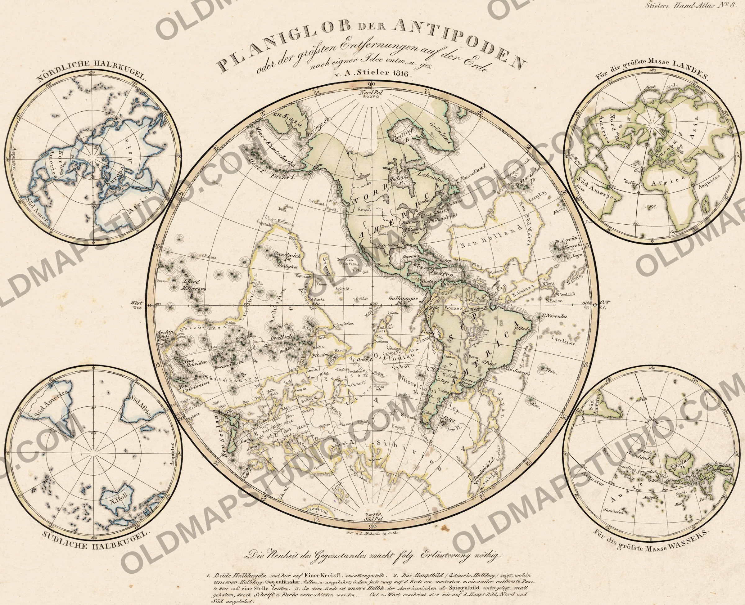
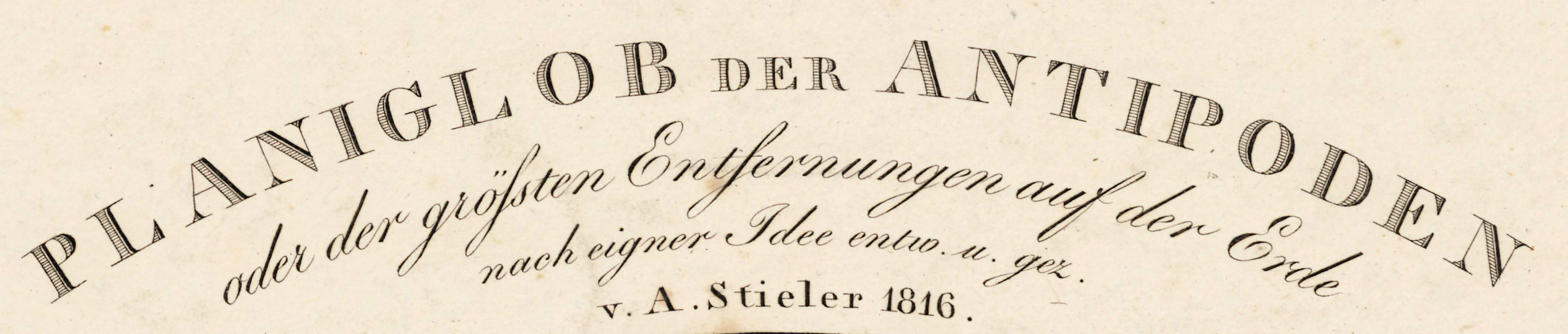
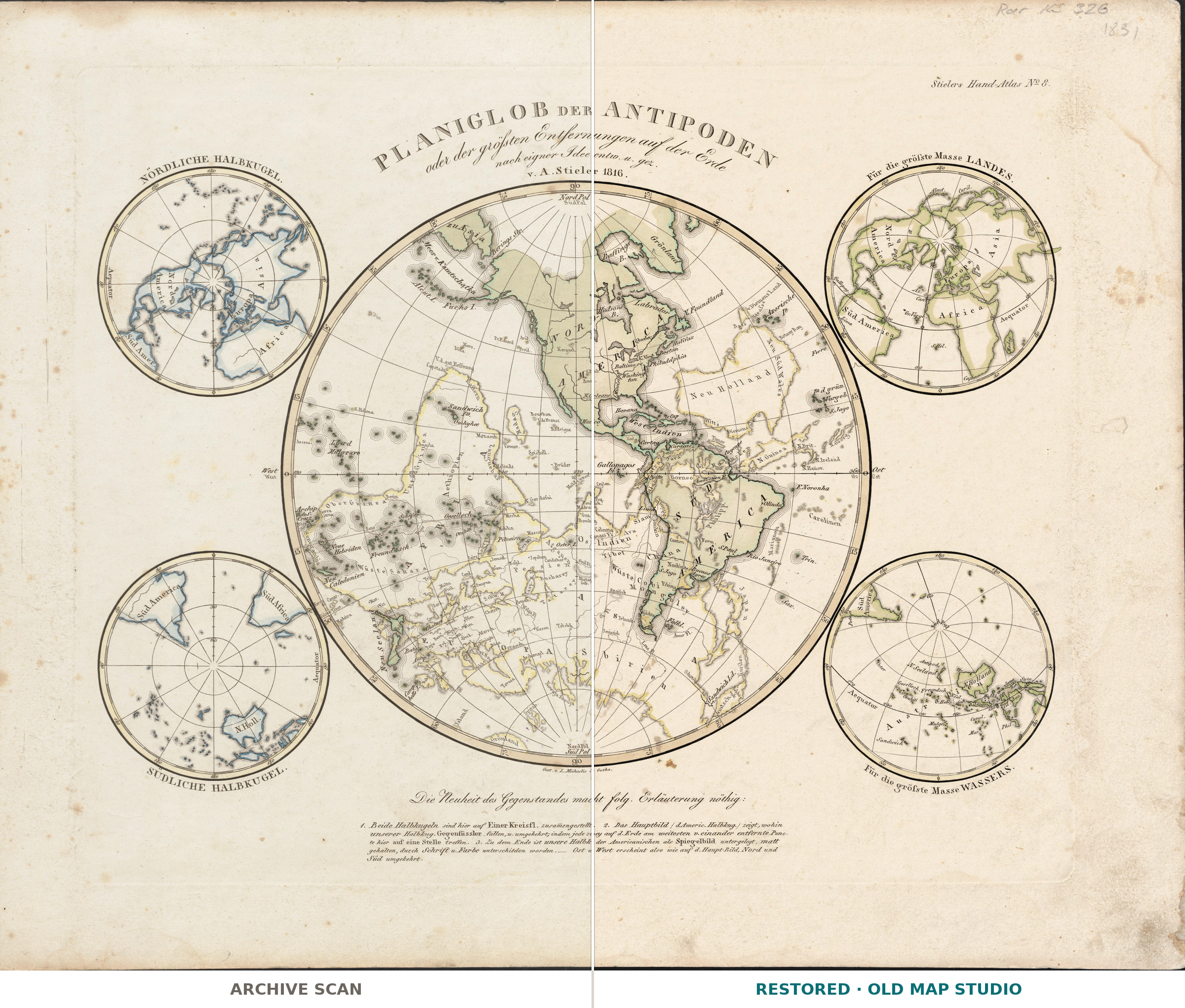
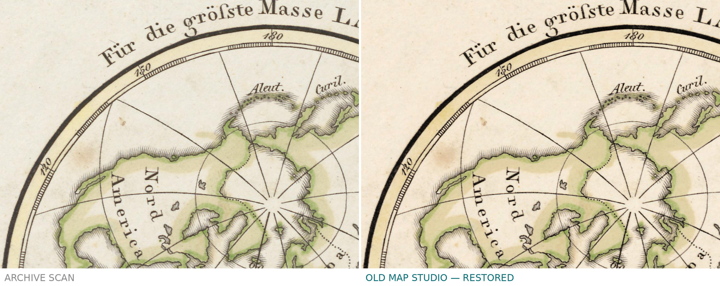
Planiglob der Antipoden oder der grössten Entfernungen auf der Erde, nach eigner Idee — a planiglobe of the antipodes, or of the greatest distances on Earth, “after my own idea”, signed A. Stieler, 1816. Two points on opposite sides of the globe are as far apart as two places on Earth can be. Stieler found a way to show every such pair on one sheet.
How to read it
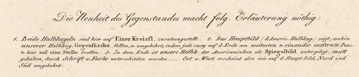
The note under the map begins: “The novelty of the subject makes the following explanation necessary.” Both hemispheres are laid on one disc. The main picture is the American hemisphere; beneath it, printed faintly as a mirror image, lies our own, so that any two points that are farthest apart on Earth fall on one place. East and west read as in the main picture; north and south are reversed.
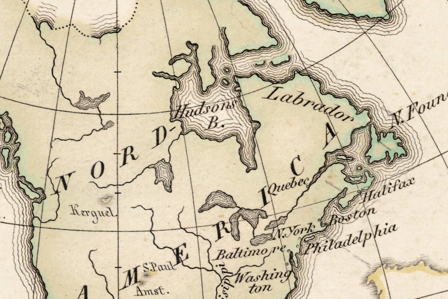
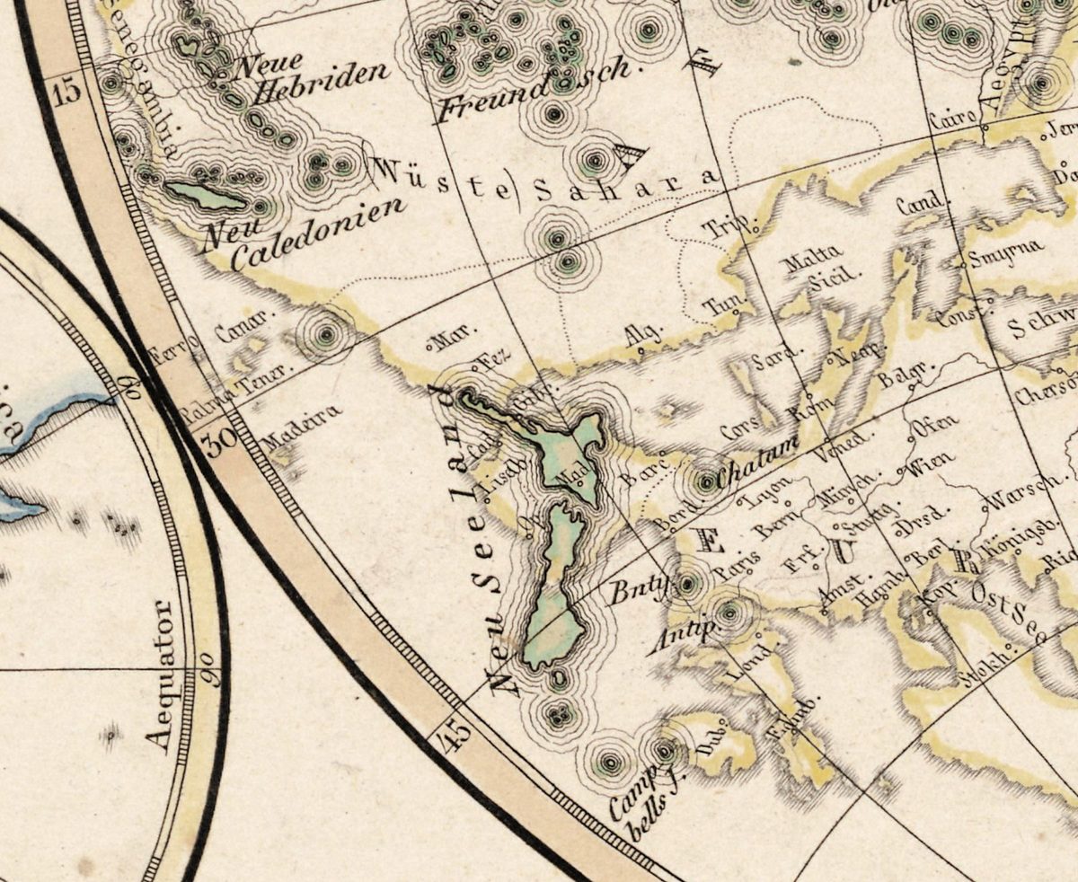
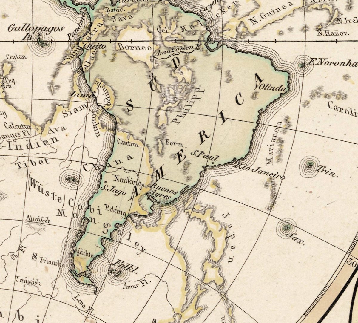
At a glance the sheet shows how rarely land faces land: most land lies over ocean. Where it does not, the pairs are startling. South America sits on top of China — Buenos Ayres next to Nanking, Santiago beside Peking. New Zealand covers Spain and Portugal, with Madrid and Lisbon inside its outline. And just beside London stands “Antip.”: the Antipodes Islands, found in 1800 and named because they lie near London’s antipode.
Who made it
Adolf Stieler (1775–1836) was a lawyer at the court of Gotha, not a professional mapmaker; the astronomer Franz Xaver von Zach spotted his talent and in 1798 recruited him for his geographical journal. At the end of 1814 Stieler proposed a hand atlas in a handy format to the Gotha publisher Justus Perthes; the first part appeared in 1817. This sheet, dated 1816 and numbered 8, was engraved by Ludwig Michaelis, whose signature would appear on nearly all Perthes copper maps of the following decades. Stielers Hand-Atlas became one of the most successful atlases ever published and remained the Perthes firm’s flagship until 1945; the antipodes sheet stayed in it, revised, into the 1860s.
What to look for on the sheet
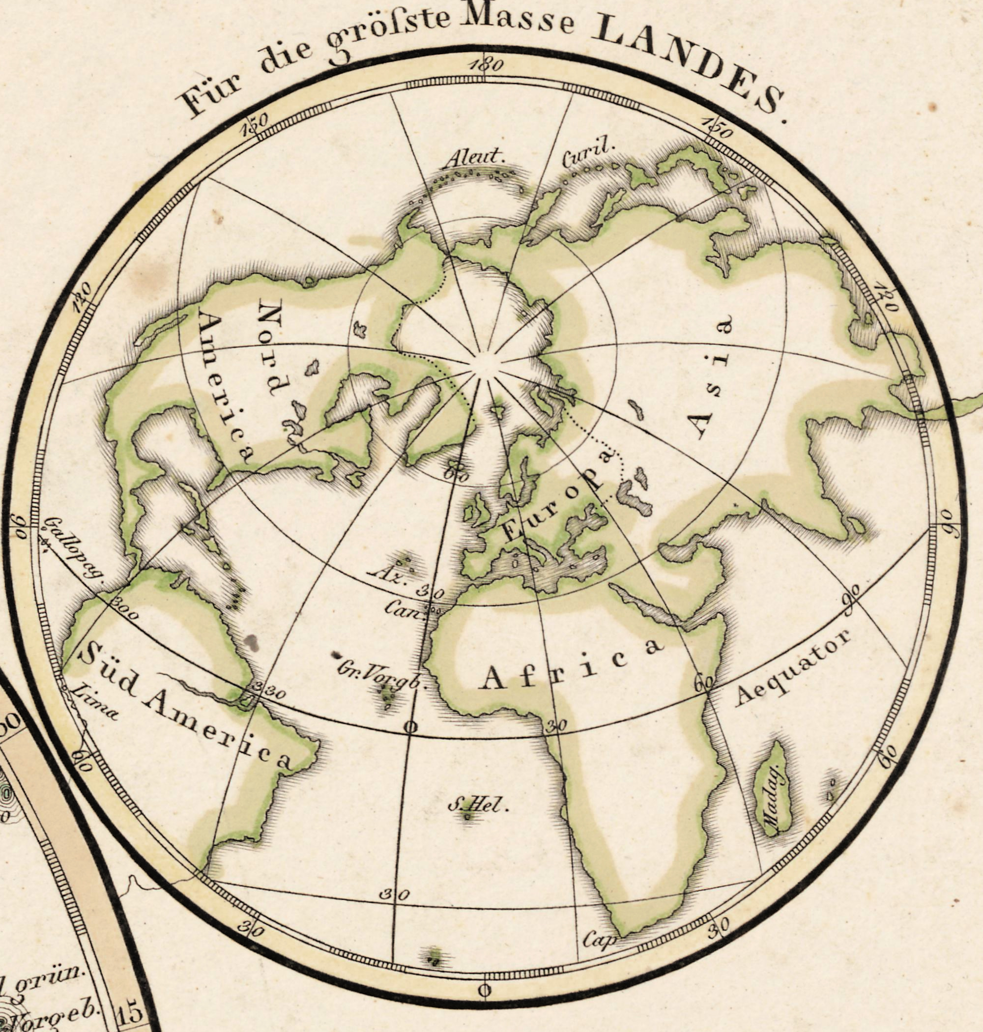
- Four small discs: the northern and southern hemispheres seen from the poles, and the halves of the globe that hold die grösste Masse Landes and die grösste Masse Wassers — the most land and the most water.
- The faint mirrored Europe and Asia under the Pacific, told apart from the main picture by lighter lettering and colour, as the note promises.
- The engraver’s line under the disc, Gest. v. L. Michaelis in Gotha, and Stielers Hand-Atlas No. 8 at the top right.
- The idea is old: Plato already reasoned that on a sphere “above” and “below” are only relative, and Augustine called it absurd that anyone could have crossed the ocean to live on the other side.
The pencil shelf numbers above the map were written by the library and are left as they are on the full sheet.
Your file
| Original | Adolf Stieler, 1816, engraved by L. Michaelis in Gotha, sheet 8 of Stielers Hand-Atlas; sheet 29 × 35 cm |
| Scan | 10027 × 8212 px, from the library's own scan, not an upscale |
| Print size at 300 dpi | up to 69 cm (27 in) on the long side |
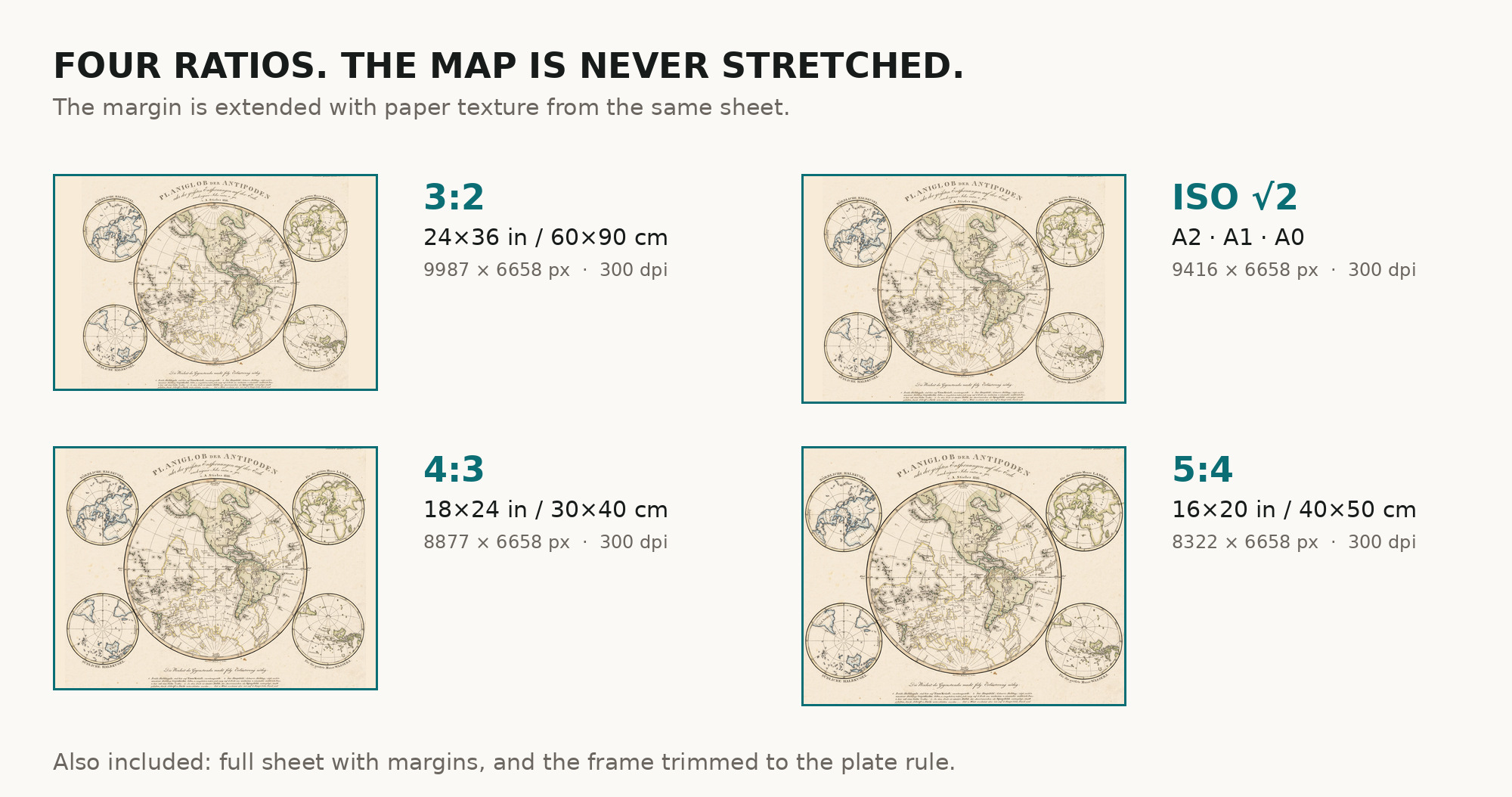
| You download | six ZIP archives: full sheet, trimmed, 3:2, 4:3, 5:4 and ISO A |
| Inside each one | one JPEG at 300 dpi, the restoration passport as a PDF, a READ ME |
How to print
- Print at 300 dpi at the size above and do not let the shop scale the file up.
- Pick the archive whose proportions match your frame, so nothing is cropped or stretched.
- Where to print it: print shops near you and checked prices at online labs.
Source and rights
The original is held by the ETH-Bibliothek Zurich under the shelfmark Rar KS 326 and was digitized on e-rara.ch, the Swiss platform for rare printed material. The scan is in the public domain (Public Domain Mark). Pencil shelf numbers written on the paper above the map are left untouched in the full sheet and fall outside the trimmed version. Catalogue record: e-rara →
Features
- German
Attachments
Reviews
No reviews found
See also
-
 Antique World Map c. 1696 — Sanson, Mappe-monde
-
Antique World Map 1799 — Chart of the World
-
Antique World Map 1752 — Robert de Vaugondy, Mappemonde
-
Antique World Map 1709 — Moll, A New and Correct Map
-
Antique World Map 1706 — Moll, A New Map of the World
-
Antique World Map 1655 — Hondius, Nova Totius Terrarum Orbis