Antique World Map 1873 — Vivien de Saint-Martin, Planisphère, Mercator


Description
An old world map on Mercator’s projection, Paris, 1873
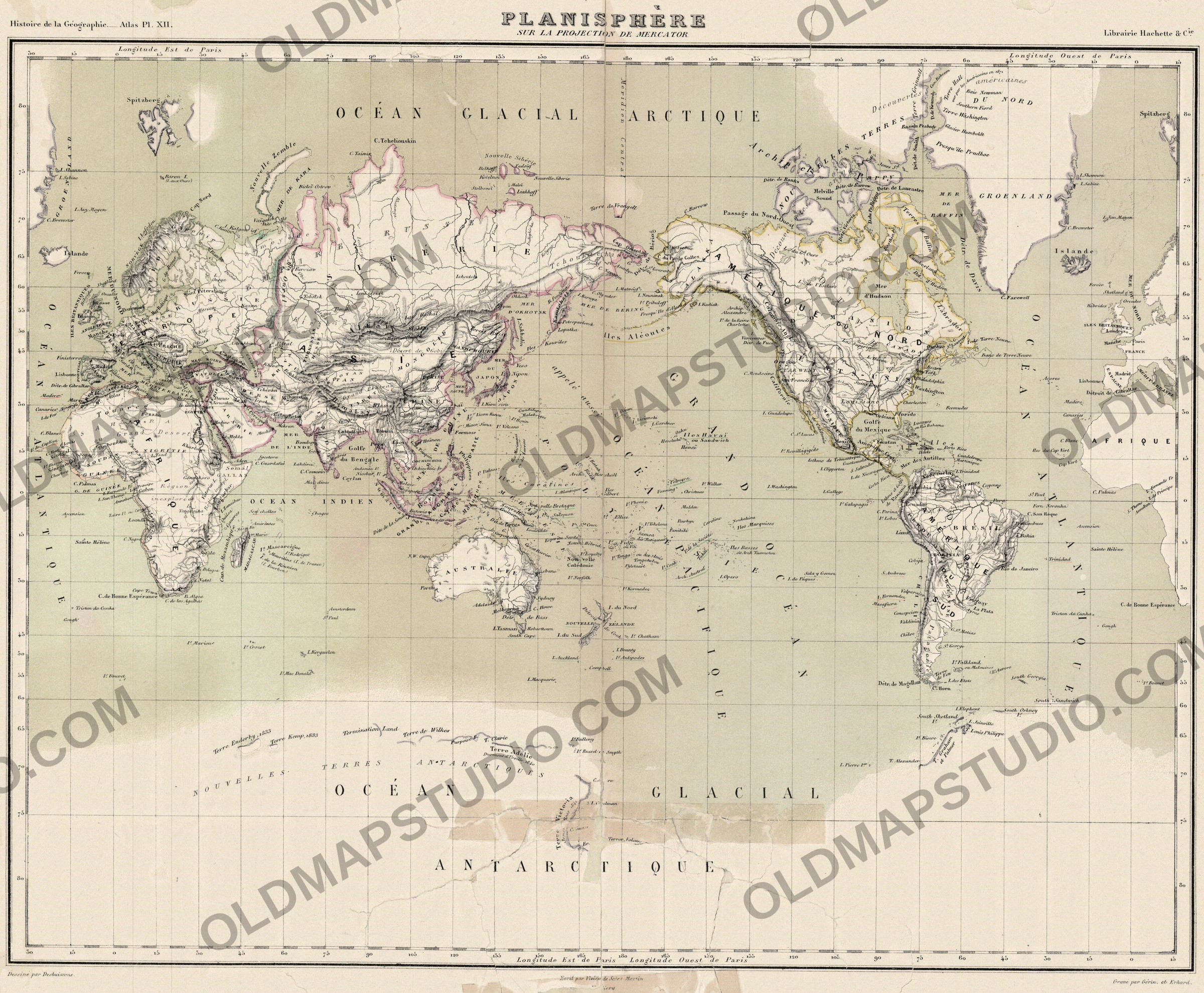
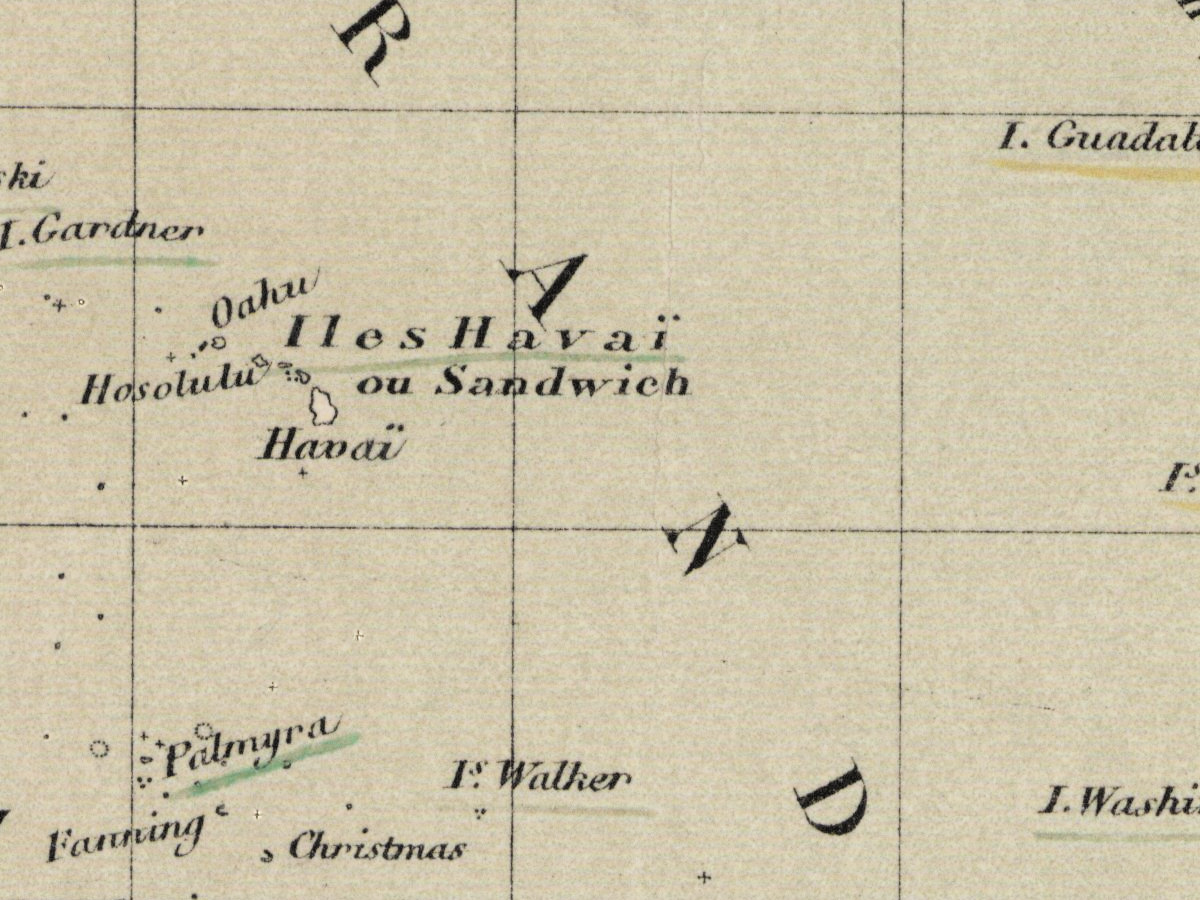
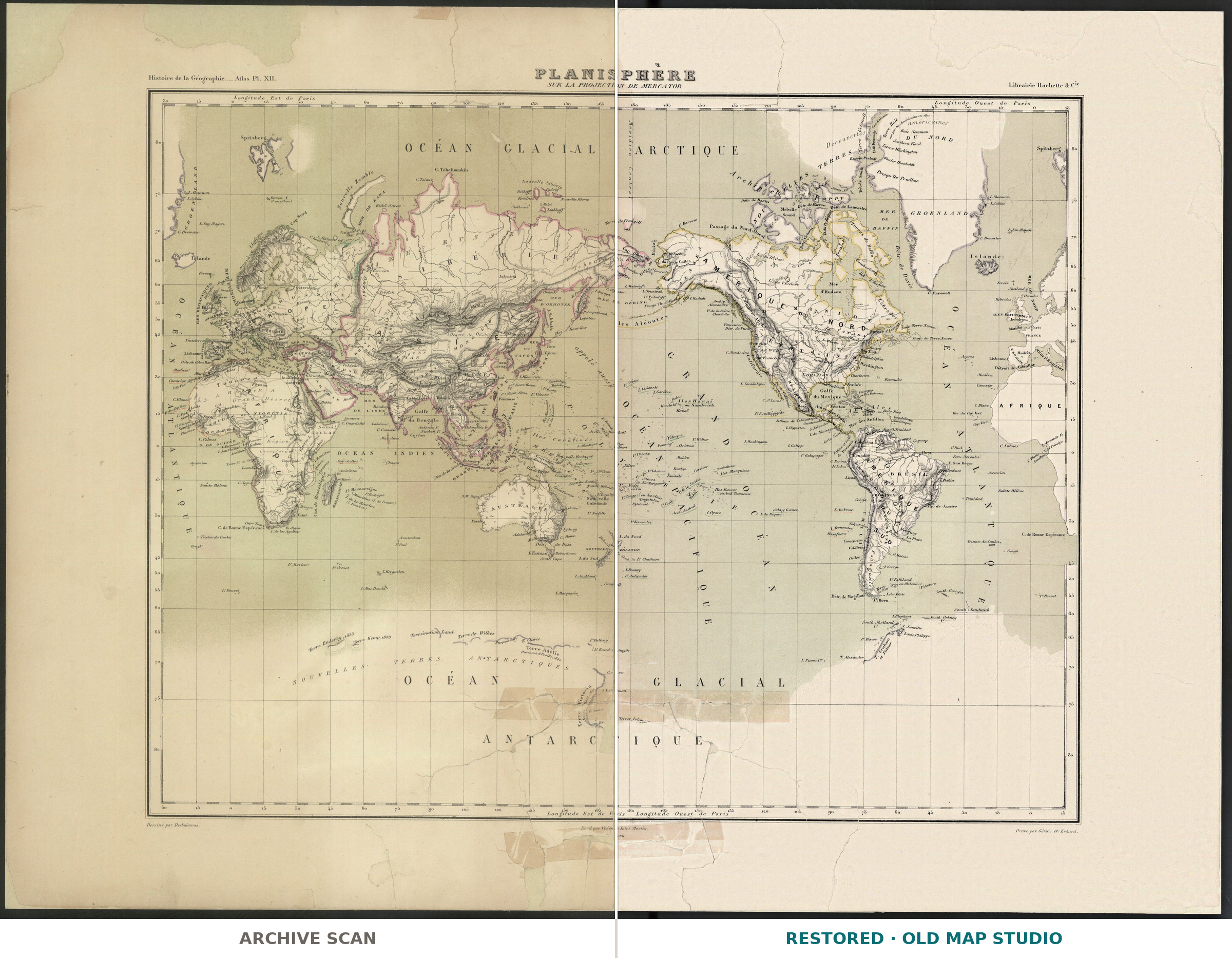
This colored world map is plate XII of the atlas made for the Histoire de la géographie et des découvertes géographiques of Louis Vivien de Saint-Martin, published in Paris by Hachette in 1873. Above the frame it reads “Histoire de la Géographie. – Atlas Pl. XII.” on the left and the name of the Librairie Hachette on the right; below the frame it names the people who made it: “Dessiné par Desbuissons”, “Écrit par Vivien de Saint Martin” and “Gravé par Gérin, et Erhard”, with the printer Fraillery.
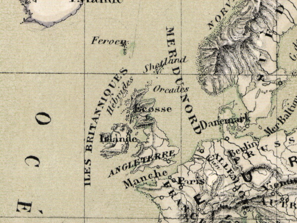
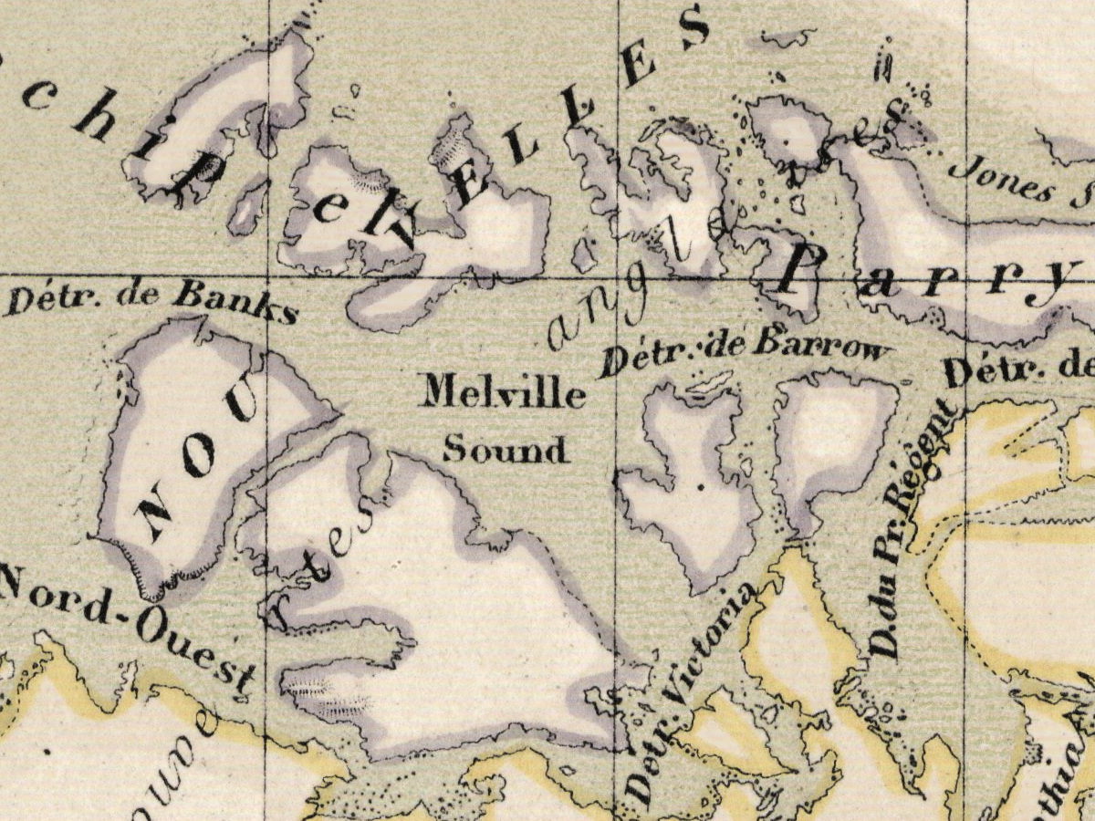
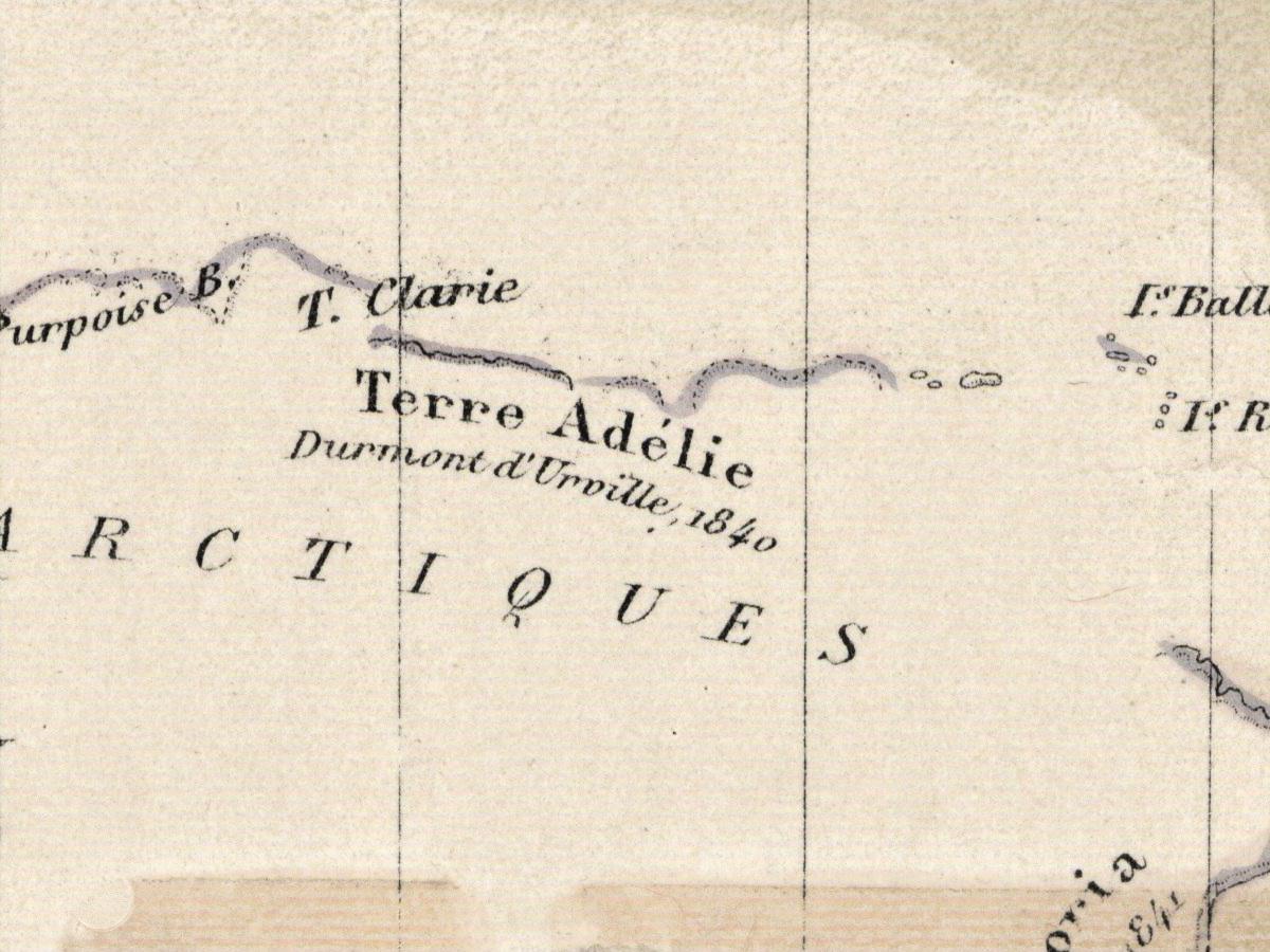
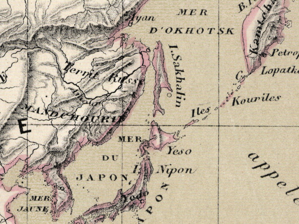
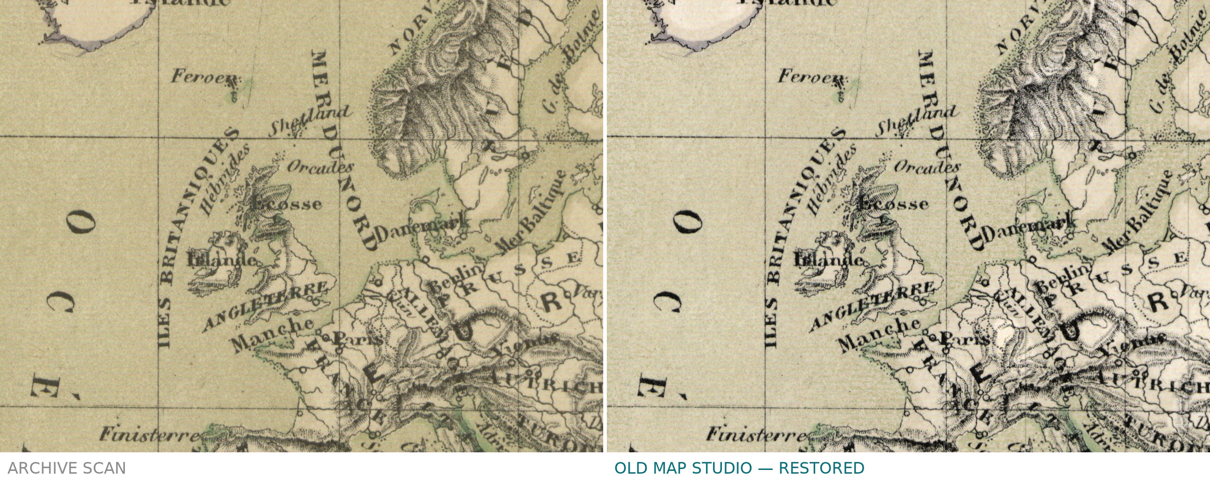
Vivien de Saint-Martin’s book set out to tell the history of geography and of geographical discovery “from the most remote times to our days”, as its full title puts it, and it came with an atlas of its own, titled Atlas dressé pour l’Histoire de la géographie. This plate is the atlas’s map of the whole world on Mercator’s projection, at about 1:73,000,000, with longitudes counted from the meridian of Paris and relief shown by hachures.
The National Library of Poland describes its copy as a multicolored map of 36 × 45 cm on a sheet of 44 × 59 cm, with a blank verso. The David Rumsey Map Collection records the same plate in a copy of the atlas dated 1874.
What to look for on the sheet
- The running head above the frame: “Histoire de la Géographie. – Atlas Pl. XII.”
- The credit lines below the frame naming Desbuissons, Vivien de Saint Martin, Gérin and Erhard, and the printer.
- Longitudes counted from Paris, not from Greenwich.
- Relief shown by hachures.
The National Library of Poland keeps the sheet under the shelfmark ZZK 1 716 and publishes the scan in its digital library, Polona; your file is made from that scan.
Your file
| Original | Paris, Hachette, 1873, National Library of Poland ZZK 1 716; map 36 × 45 cm on a sheet of 44 × 59 cm |
| Scan | full sheet 14172 × 10572 px; the map inside the trimmed border 10890 × 8980 px |
| Print size at 300 dpi | the map prints to 92 cm (36 in), the full sheet with margins to 119 cm (47 in) |
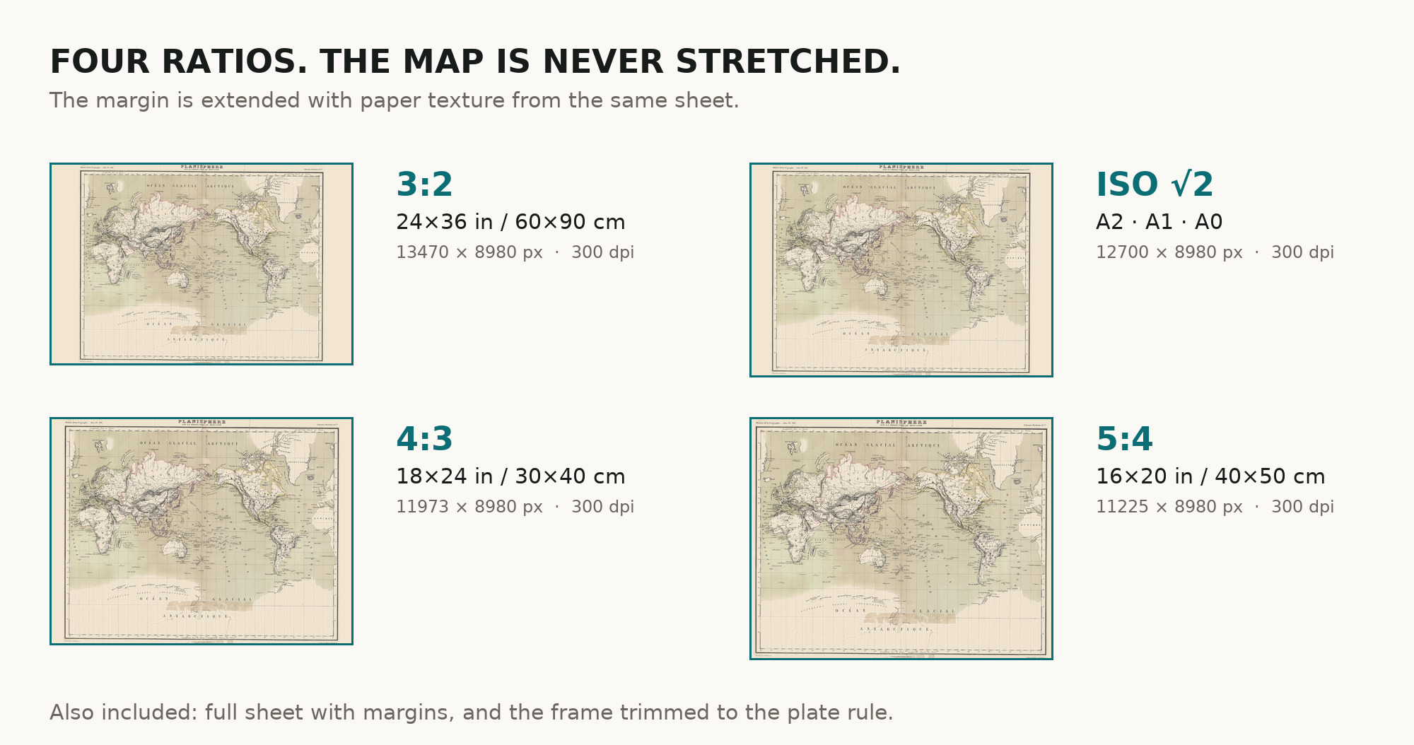
| You download | six ZIP archives: full sheet, trimmed, 3:2, 4:3, 5:4 and ISO A |
| Inside each one | one JPEG at 300 dpi, the restoration passport as a PDF, a READ ME |
How to print
- At 300 dpi the map prints to 92 cm. Pick the archive whose proportions match your frame; ask for matte fine-art paper in sRGB with auto-enhancement off.
- Where to print it: print shops near you and checked prices at online labs.
Source and rights
The file is made from the National Library of Poland’s scan in Polona, published as public domain. The record describes the map as multicolored and names an engraver and a printer, but does not name the printing technique or the method of coloring. There is no TIFF master in the package. Catalogue record: Polona →
Features
- French
Attachments
Reviews
No reviews found
See also
-
 Antique World Map c. 1850 — Bartholomew, British Empire in One View
-
Antique World Map 1598 — Plancius, Wieder Facsimile 1927
-
Antique Map of America 1570 — Ortelius, Americae sive Novi Orbis
-
Antique World Map 1848 — Johnston, Botanical Geography
-
Antique Map of Africa 1570 — Ortelius, Africae Tabula Nova
-
Antique World Map 1740 — Seutter, Diversi Globi Terr-Aquei