Antique World Map c. 1807 — Hansteen, Abweichungskarte
Description
An old world map of the Earth's magnetic field
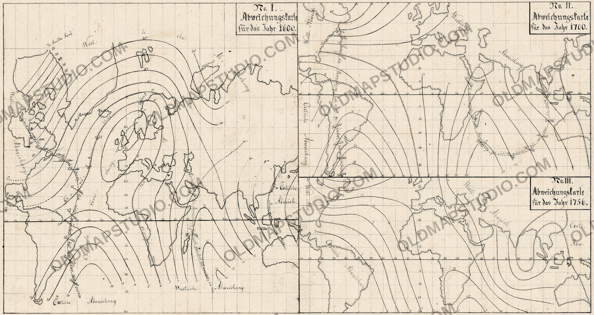
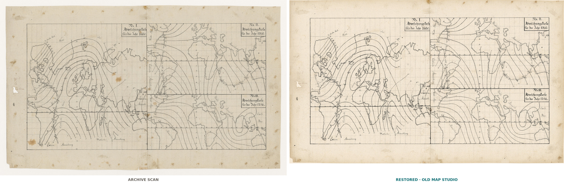
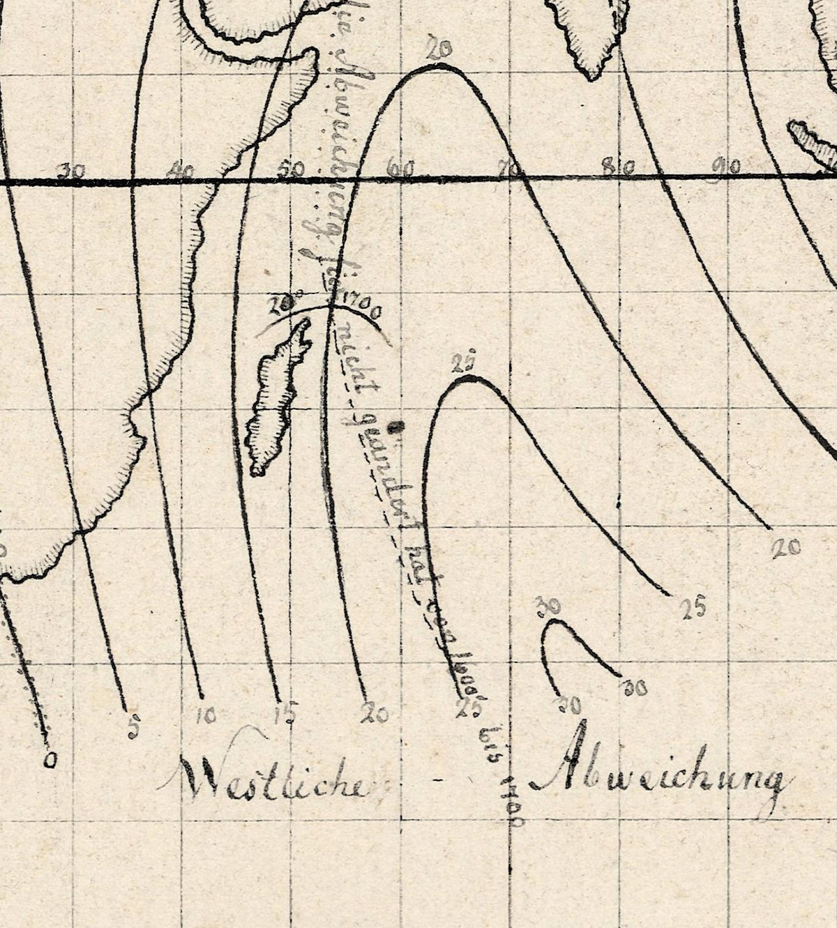
A compass needle seldom points to true north. Three maps share this sheet, one each for 1600, 1700 and 1756, each reaching from the Americas to the East Indies, and their numbered curves join places where the needle turned aside by the same number of degrees. Side by side they show what no single map can: the lines do not stay put.
Christopher Hansteen (1784–1873), the Norwegian astronomer and physicist, dated the start of his inquiry into the Earth's magnetism to early 1807. In the preface to his book he recalls looking at a two-foot globe made by the Cosmographical Society in Uppsala and noticing at its south pole an elongated figure labeled as a magnetic polar region. In 1811 the Royal Danish Society of Sciences in Copenhagen asked whether all the Earth's magnetic phenomena could be explained by a single magnetic axis; Hansteen won the prize by arguing that two axes were needed.
His answer drew on older observations of the compass. For 1600 he names Purchas, Edward Wright and Athanasius Kircher's Magnes, and admits he could gather nothing complete from earlier times; for 1700, Halley's table of variations; for 1756, a letter of William Mountaine, the observations of the Abbé de La Caille and a French voyage of 1750–51. He entered each observation by latitude and longitude on large working charts and drew the curves through the points of equal declination. The method had a famous forerunner: Edmond Halley's charts from his Atlantic voyages of 1698–1700, which the Biographical Encyclopedia of Astronomers calls “the first charts showing magnetic variations.”
This sheet is the model for Tab. I, the first plate of the Magnetischer Atlas that went with Hansteen's Untersuchungen über den Magnetismus der Erde, printed in Christiania in 1819. Its catalog record calls it a manuscript: a printed map with further information drawn by hand, the title written by hand. The catalog gives its provenance as Christopher Hansteen and the university's astronomical observatory; today it belongs to the Museum for universitets- og vitenskapshistorie, and the National Library of Norway digitized it in 2022.
What to look for on the sheet
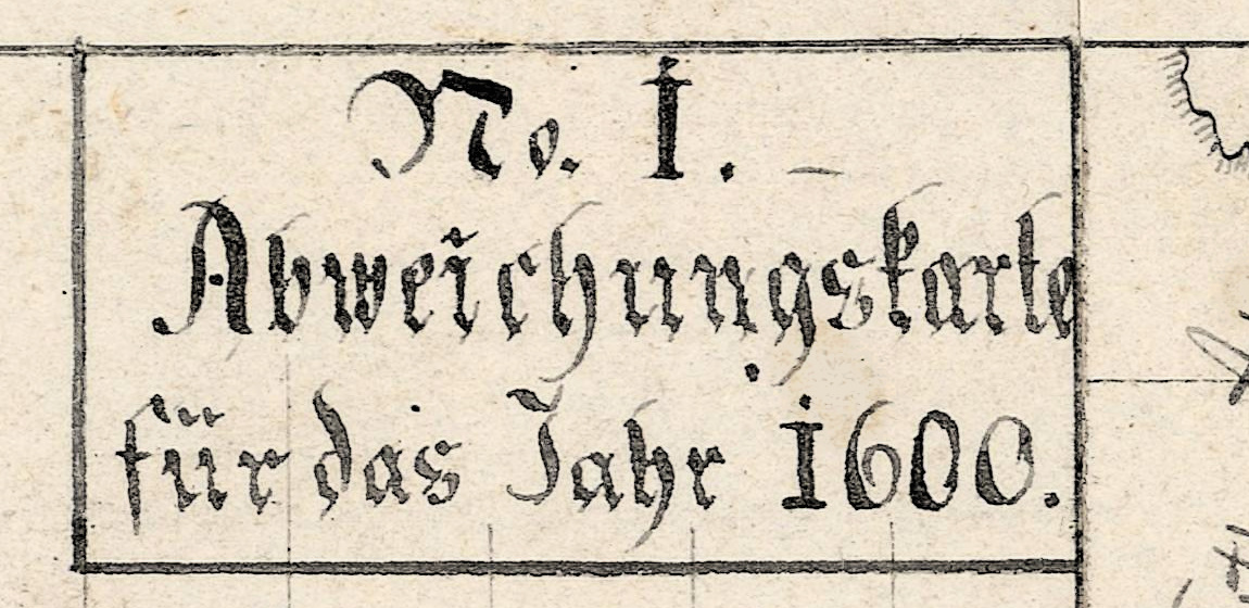
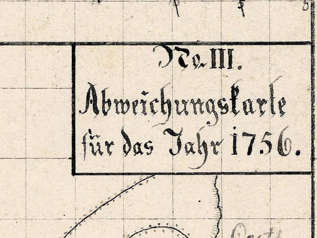
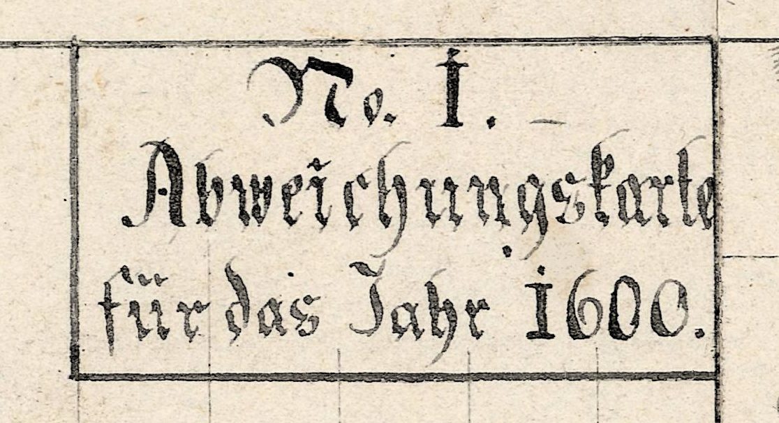
- Three hand-lettered titles in boxes: No. I. Abweichungskarte für das Jahr 1600 in the top right corner of the large map on the left, No. II for 1700 at the top right and No. III for 1756 below it.
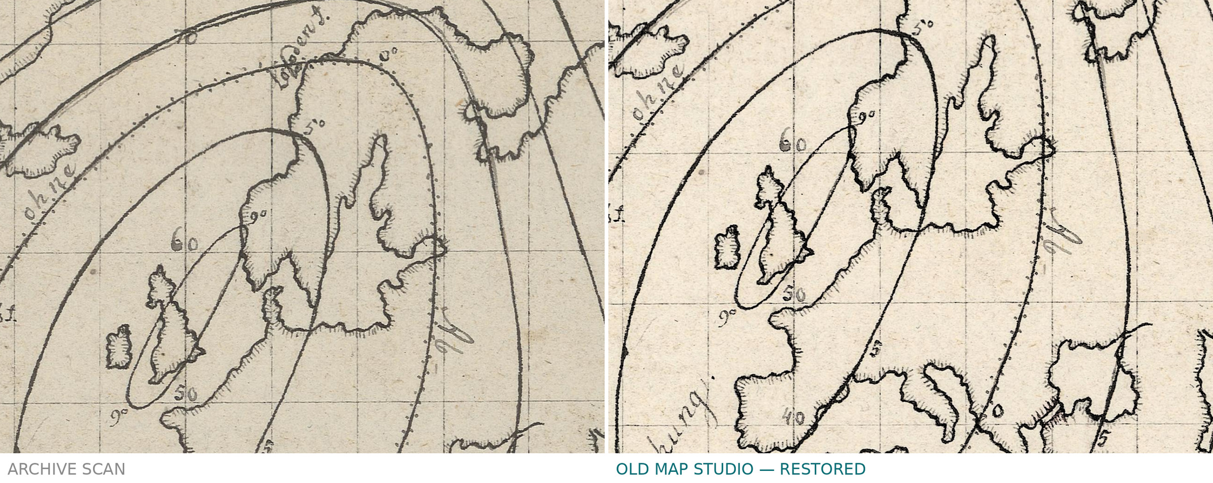
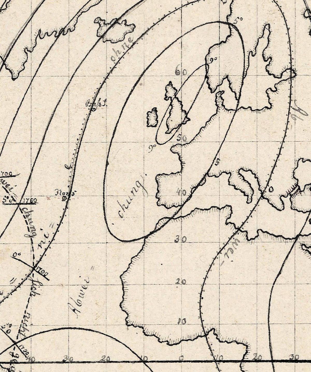
- Westliche and Oestliche Abweichung — west and east declination — written across the maps, over land and sea alike, and dotted lines where the needle pointed true north, marked ohne Abweichung.
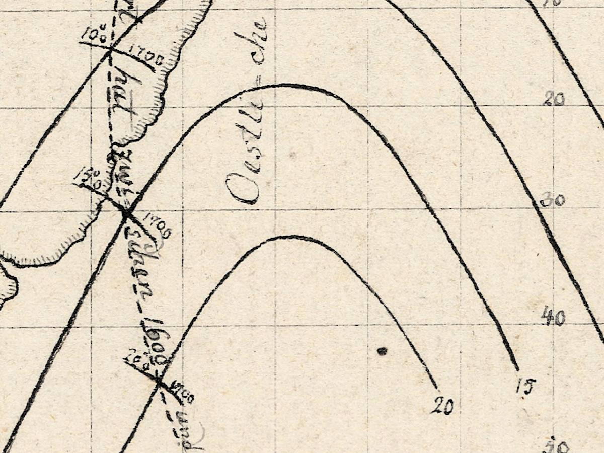
- A note in lighter ink on the 1600 map: a dashed line lettered … die Abweichung sich nicht geändert hat von 1600 bis 1700 — where the declination did not change between 1600 and 1700 — with small ticks marked 1700. The 1700 map has a similar line, ticked 1770.
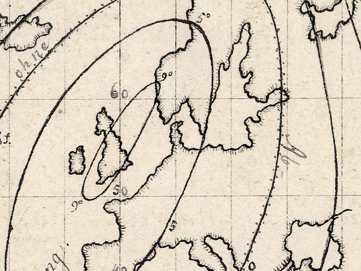
- Closed loops of equal declination around the British Isles on the 1600 map and in the Indian Ocean on the 1756 map.
- Th. Smiths Sund at the top of Baffin Bay on the 1600 map, where the numbered curves crowd together.
Hansteen's theory — two magnetic axes lying crosswise, giving four magnetic poles — took him to Siberia in 1828–30 in search of the second northern pole. Carl Friedrich Gauss disproved it in 1839, and Britannica judges that Hansteen's theories were less successful than his measurements. The maps outlived the theory: a German physics textbook of 1894 still printed a reduced copy of his declination map for 1600.
Your file
| Original | Christopher Hansteen, Kristiania, between 1807 and 1819, printed map with hand-drawn additions |
| Sheet | 26 × 43 cm, three maps on one sheet |
| Scan | full sheet 10147 × 6059 px; the three maps inside the trimmed border 8934 × 4742 px. From the library's own scan, not an upscale |
| Print size at 300 dpi | the map prints to 75 cm (29 in), the full sheet with margins to 85 cm (33 in) |
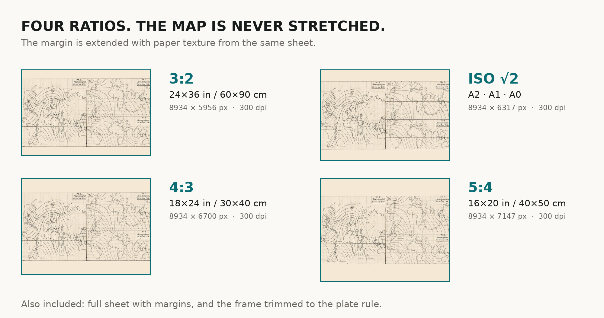
| You download | six ZIP archives: full sheet, trimmed, 3:2, 4:3, 5:4 and ISO A |
| Inside each one | one JPEG at 300 dpi, the restoration passport as a PDF, a READ ME |
How to print
- Print at 300 dpi at the size above and do not let the shop scale the file up.
- Pick the archive whose proportions match your frame, so nothing is cropped or stretched.
- Where to print it: print shops near you and checked prices at online labs.
Source and rights
National Library of Norway, URN:NBN:no-nb_digikart_21g125858. Public domain, accessible worldwide, and the library is named in the passport inside every archive. Catalogue record: Nasjonalbiblioteket →
Features
- German
Attachments
Reviews
No reviews found
See also
-
 Antique World Map c. 1635 — Blaeu, Nova Totius Terrarum Orbis
-
Antique World Map c. 1740 — Delisle, Hemisphere Septentrional
-
Antique World Map 1764 — Bellin, Carte réduite du globe
-
Antique World Map c. 1739 — Delisle, Hemisphere Meridional
-
Antique World Map 1641 — Hondius, Nova Totius Terrarum Orbis
-
Antique World Map 1744 — Le Rouge, Mappe Monde Nouvelle