Antique World Map c. 1807 — Arrowsmith, The World
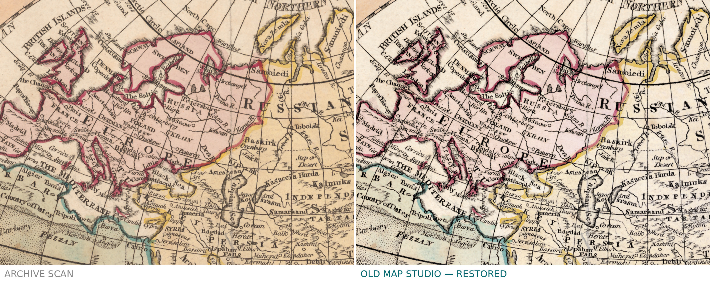
Description
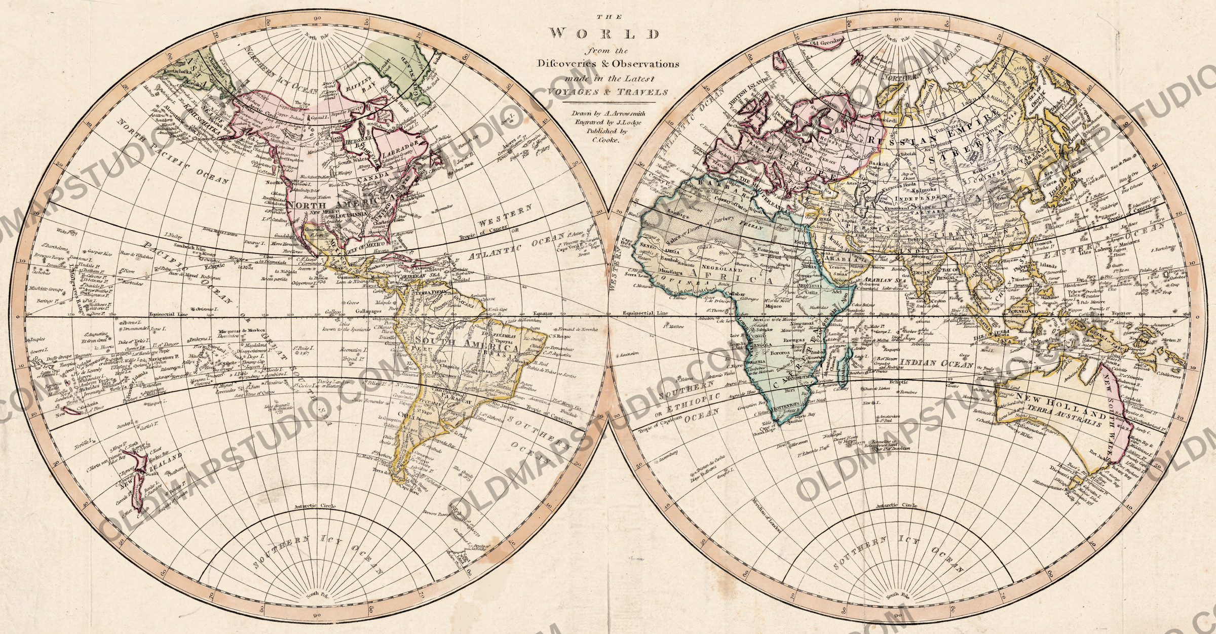
An old world map from London, around 1807, after the latest voyages
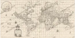
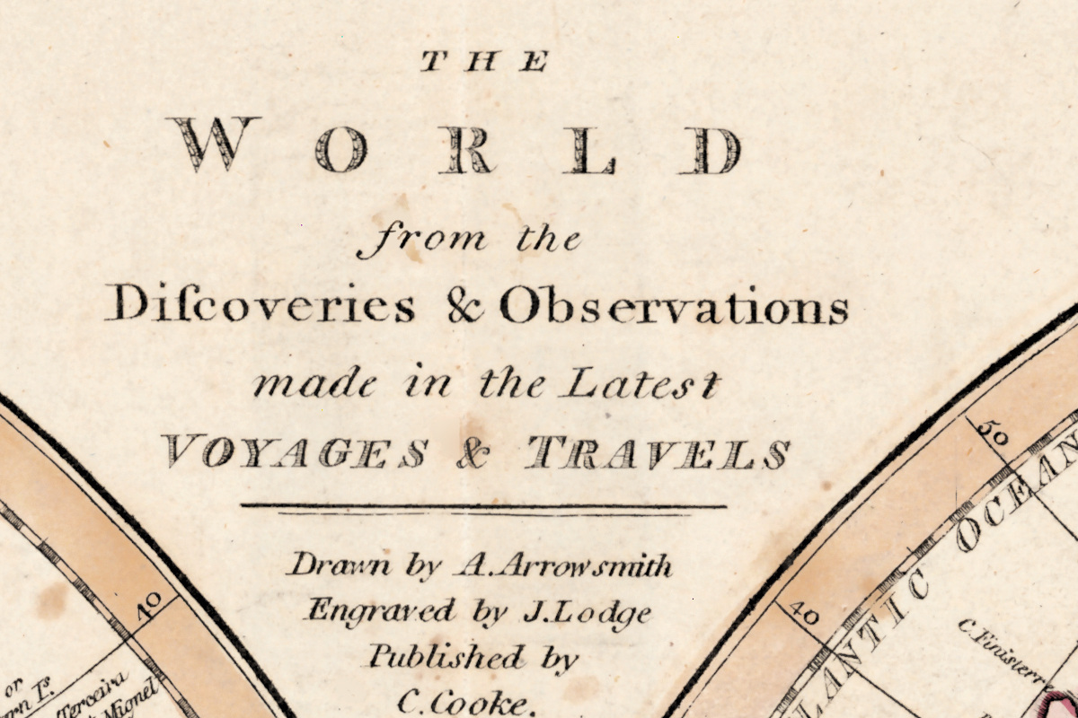
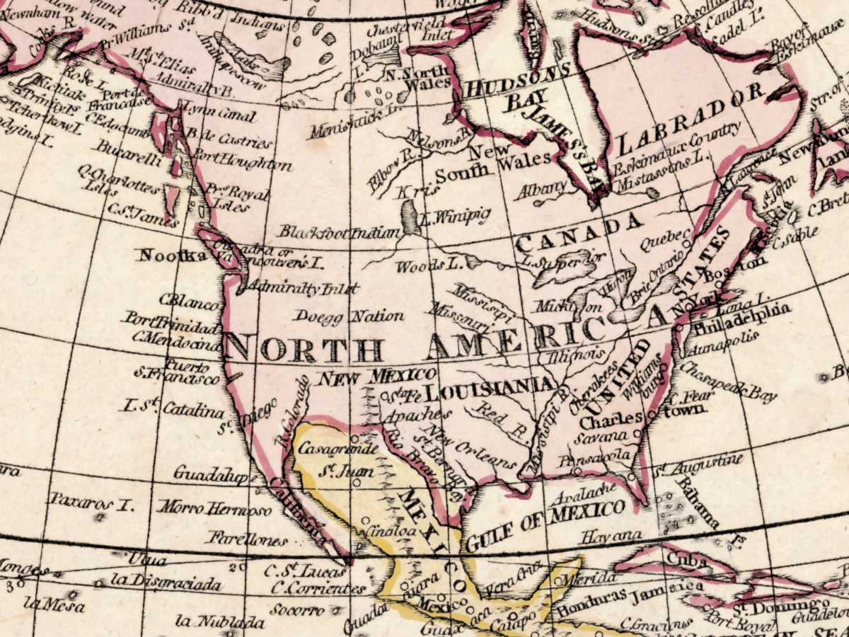
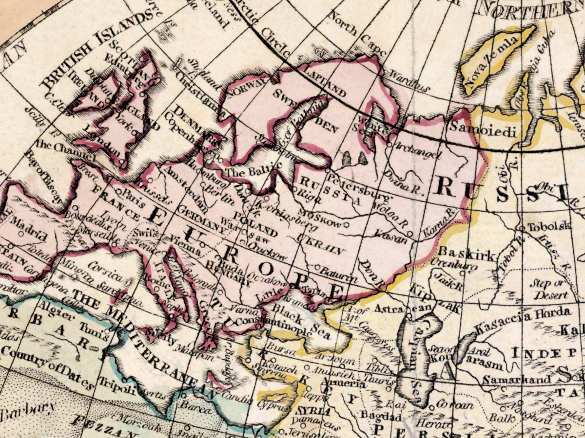
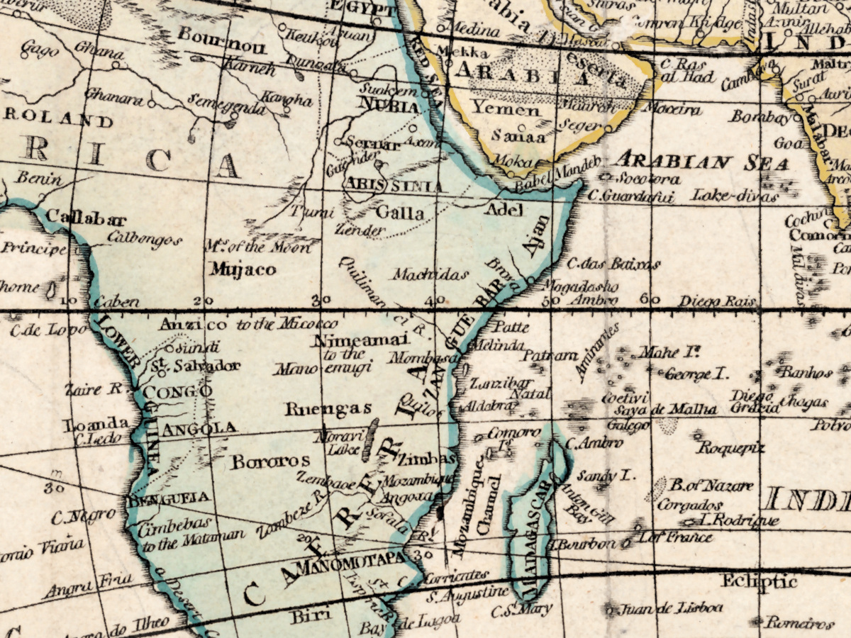
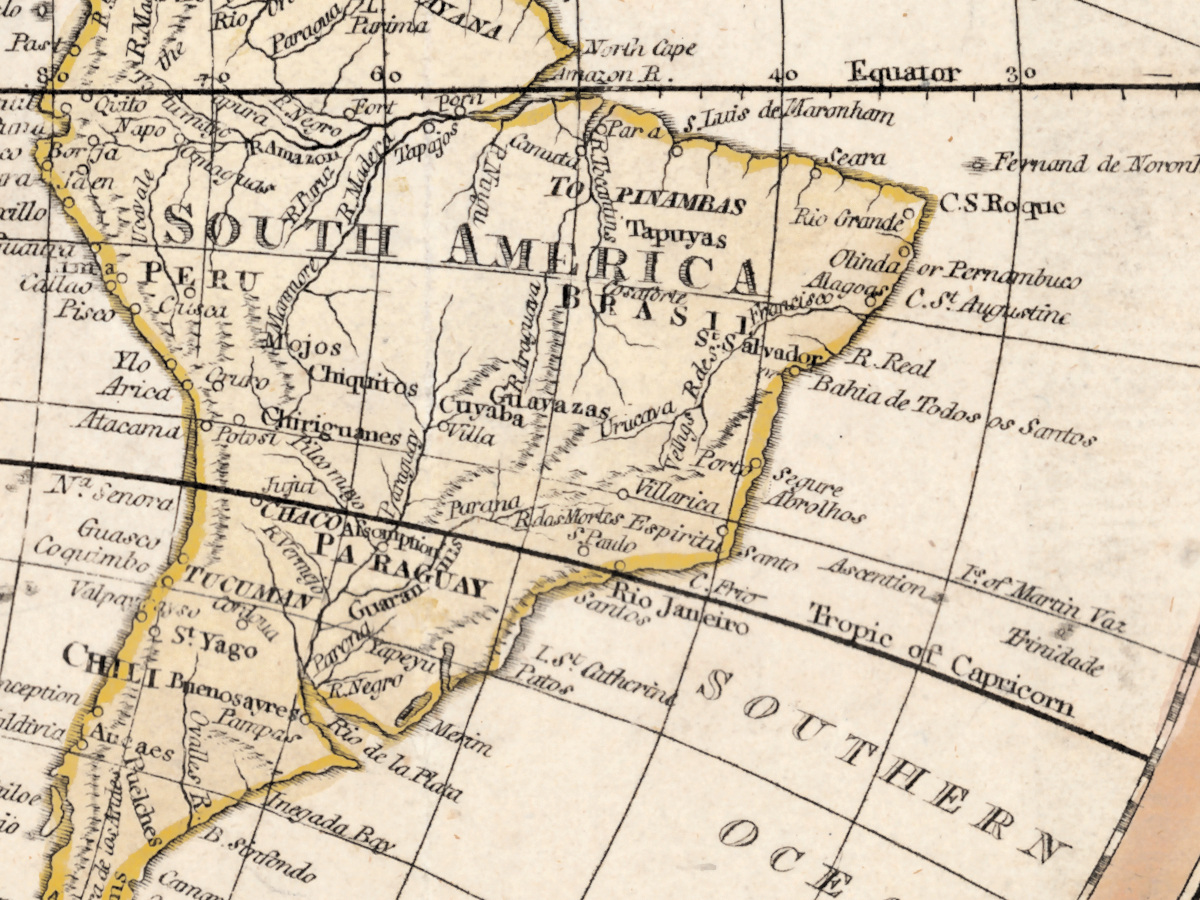
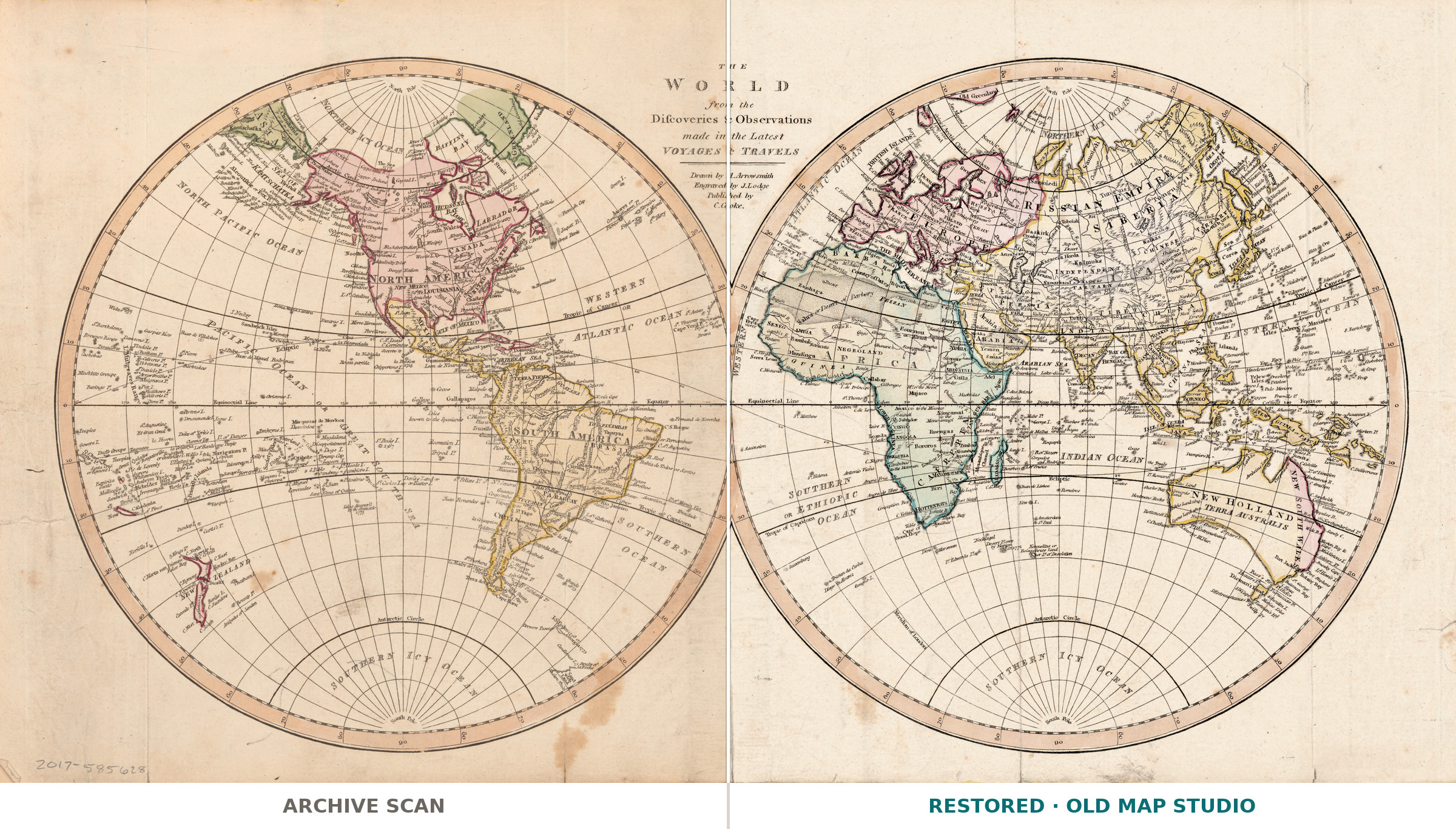
The title is the whole sales pitch of its day: The world from the discoveries & observations made in the latest voyages & travels. The Library of Congress names Aaron Arrowsmith (1750–1823) as cartographer and Charles Cooke as publisher, in London. The date in the record is [1807?]: the brackets and the question mark are the library's own, so the year is an estimate, and our name says c. 1807.
What is on the sheet
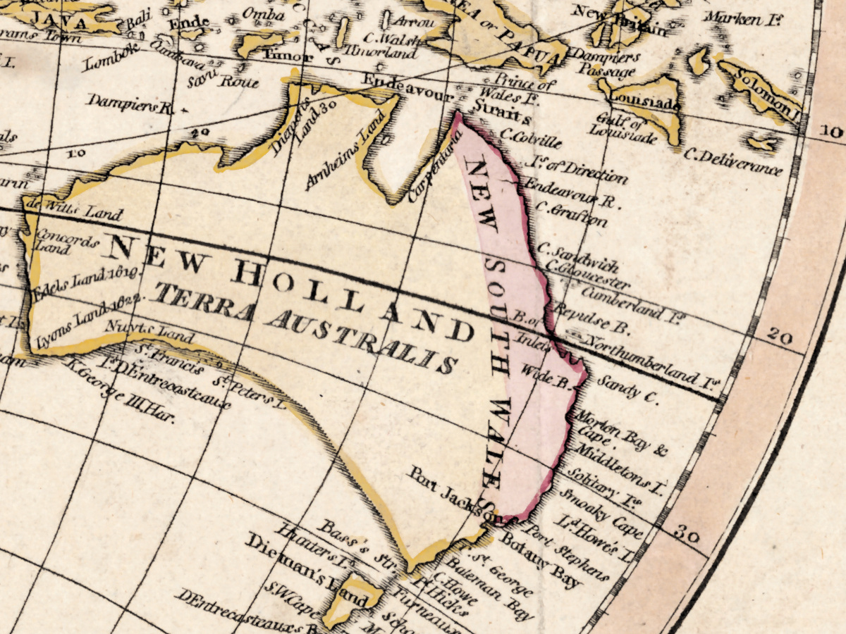
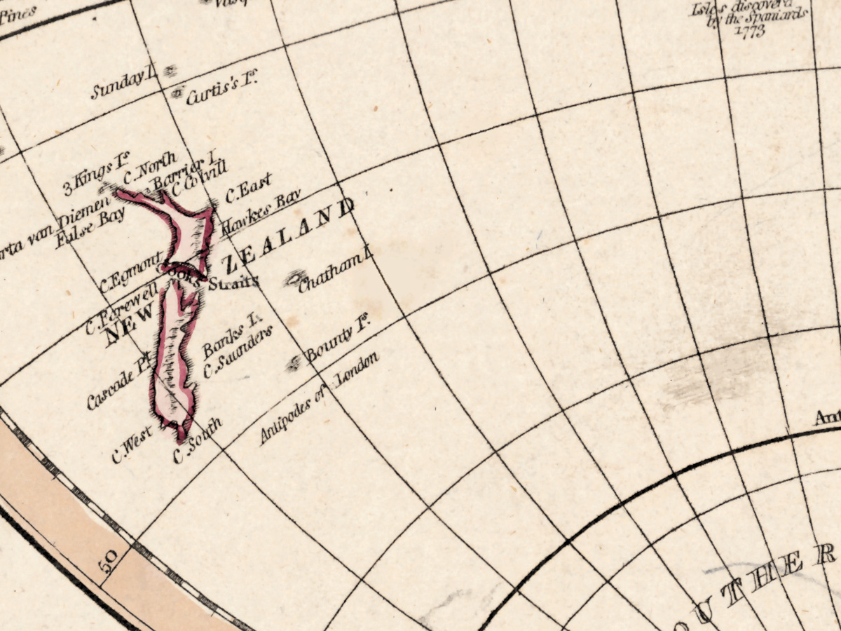
Two hemispheres, each 22 cm across, on a sheet of 26 × 49 cm. Relief is shown pictorially and the lettering is English. The Library holds two copies of this map: one colored by hand, and a second, uncolored one mounted on cloth. The file is made from the colored copy, and its color was kept, not repainted.
Your file
| Original | Aaron Arrowsmith, published by Charles Cooke, London, c. 1807 |
| Sheet | 26 × 49 cm, two hemispheres of 22 cm |
| Scan | full sheet 7494 × 4028 px; the map inside the trimmed border 7064 × 3684 px |
| Print size at 300 dpi | the map prints to 59 cm (23 in), the full sheet with margins to 63 cm (25 in) |
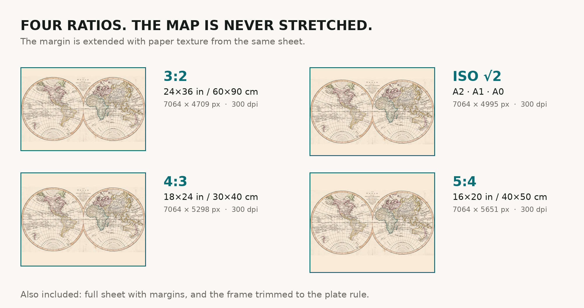
| You download | six ZIP archives: full sheet, trimmed, 3:2, 4:3, 5:4 and ISO A |
| Inside each one | one JPEG at 300 dpi, the restoration passport as a PDF, a READ ME |
How to print
- Pick the archive whose proportions match your frame; ask for matte fine-art paper in sRGB with auto-enhancement off.
- Where to print it: print shops near you and checked prices at online labs.
Source and rights
Library of Congress, Geography and Map Division, call number G3200 1807 .A7, LCCN 2017585628. The Library states the content is free to use and reuse, crediting Library of Congress, Geography and Map Division. There is no TIFF master in the package. Catalogue record: Library of Congress →
Features
- English
Attachments
Reviews
No reviews found
See also
-
 Antique World Map 1684 — Sanson, Mappa Mondo
-
Antique World Map c. 1690 — Morden & Berry, To Capt. John Wood
-
Antique World Map 1596 — Typus Orbis Terrarum
-
Antique World Map 1715 — Renard, Planisphere
-
Antique World Map 1550 — Münster, Typus Orbis Universalis
-
Antique World Map c. 1508 — Egerton Portolan Atlas, Plate 14