Antique World Map 1848 — Johnston, Botanical Geography
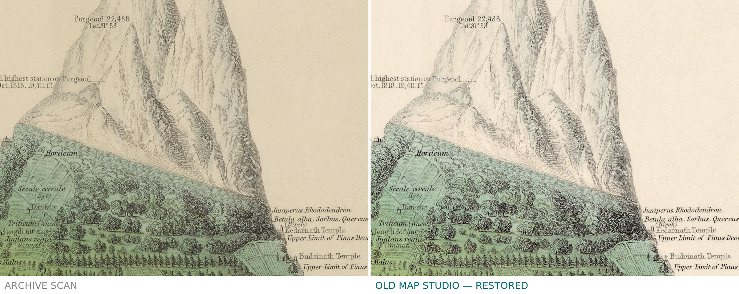
Description
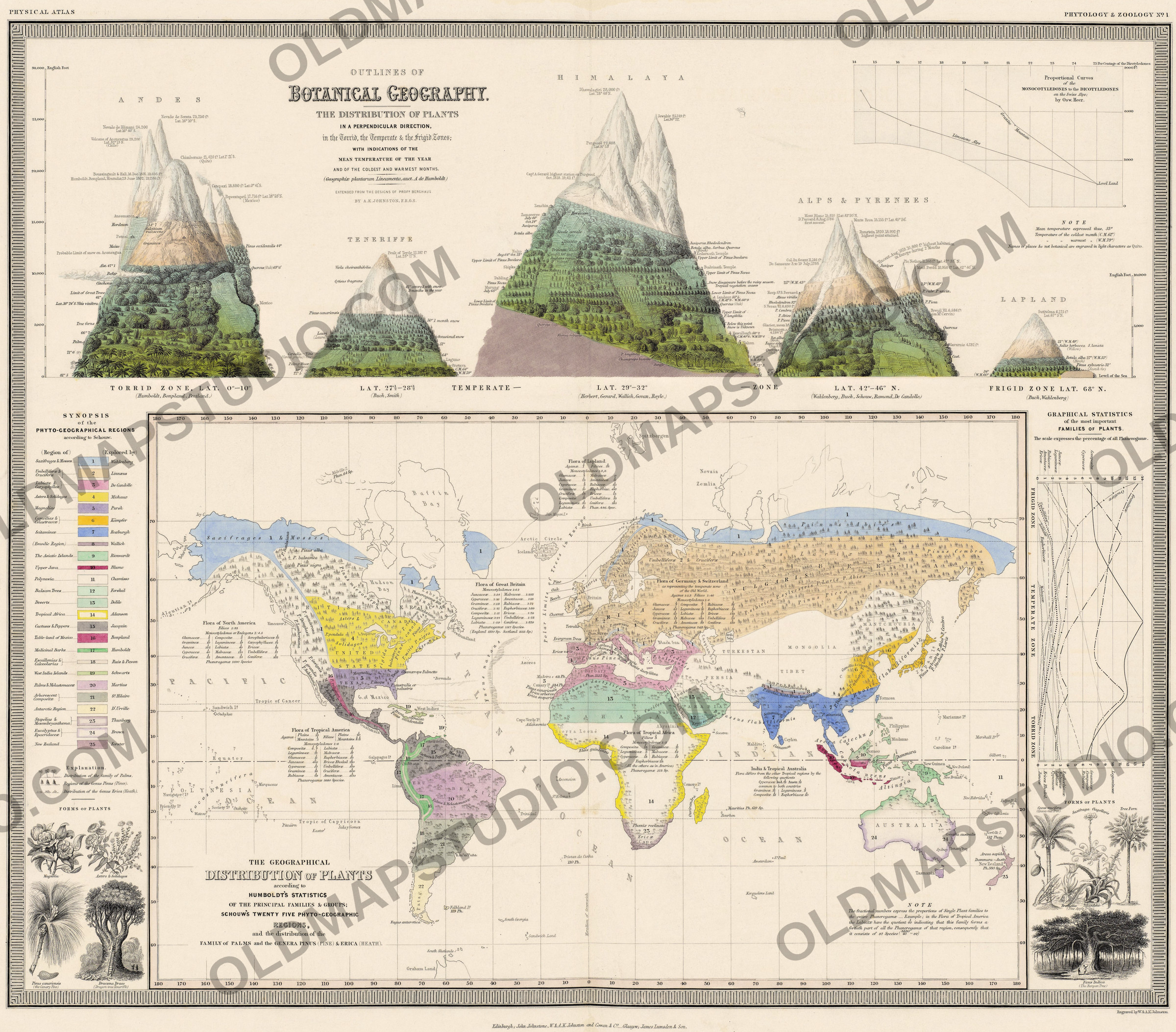
An old world map of plant geography, Edinburgh, 1848
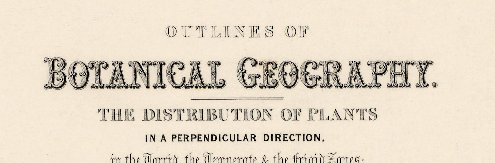
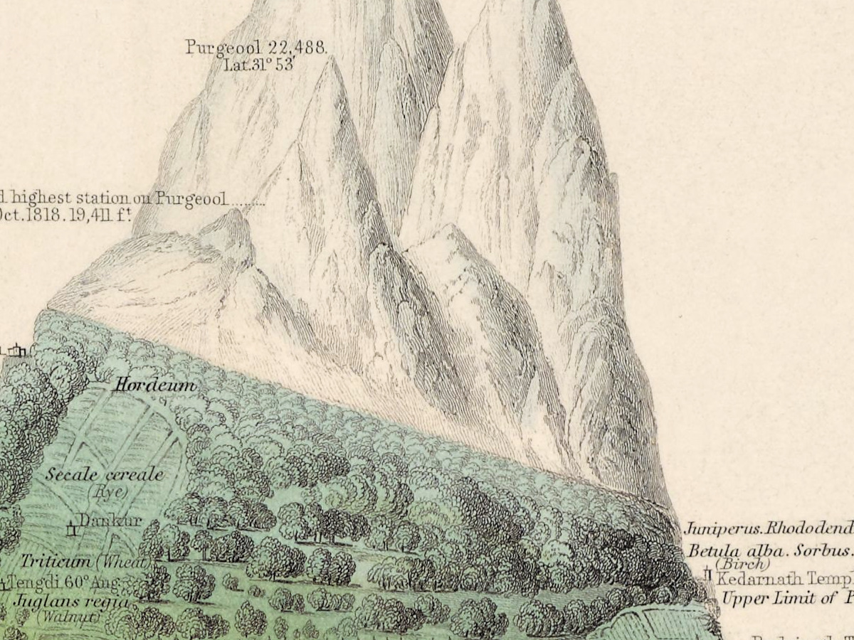
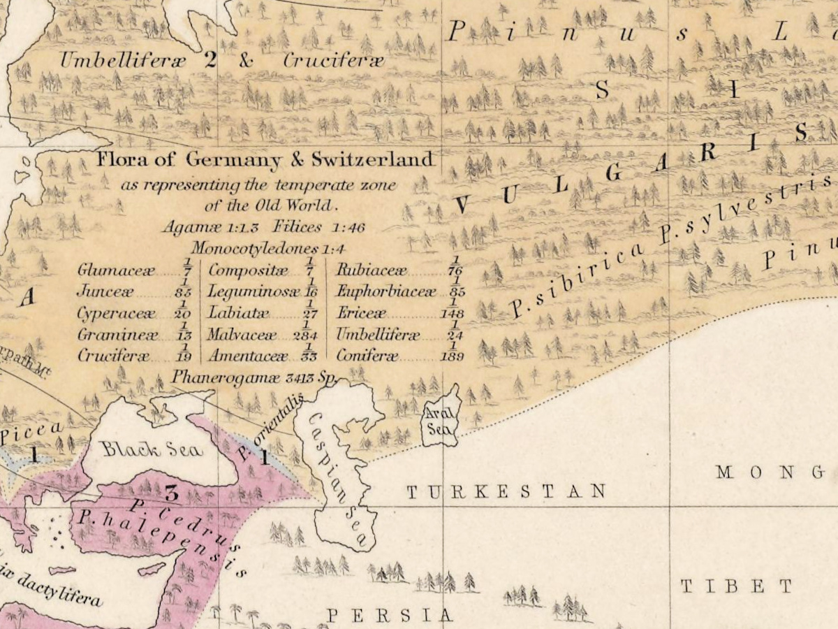
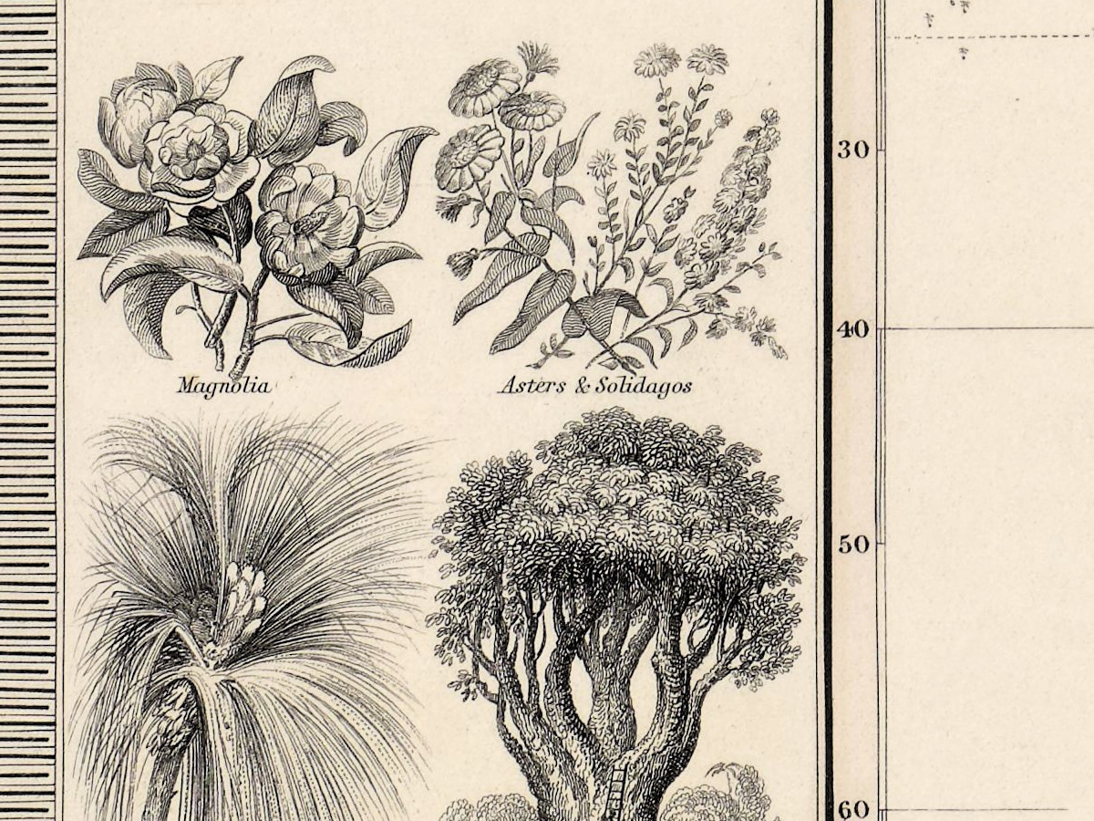
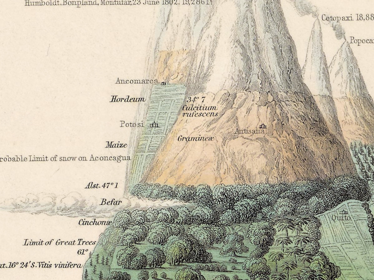
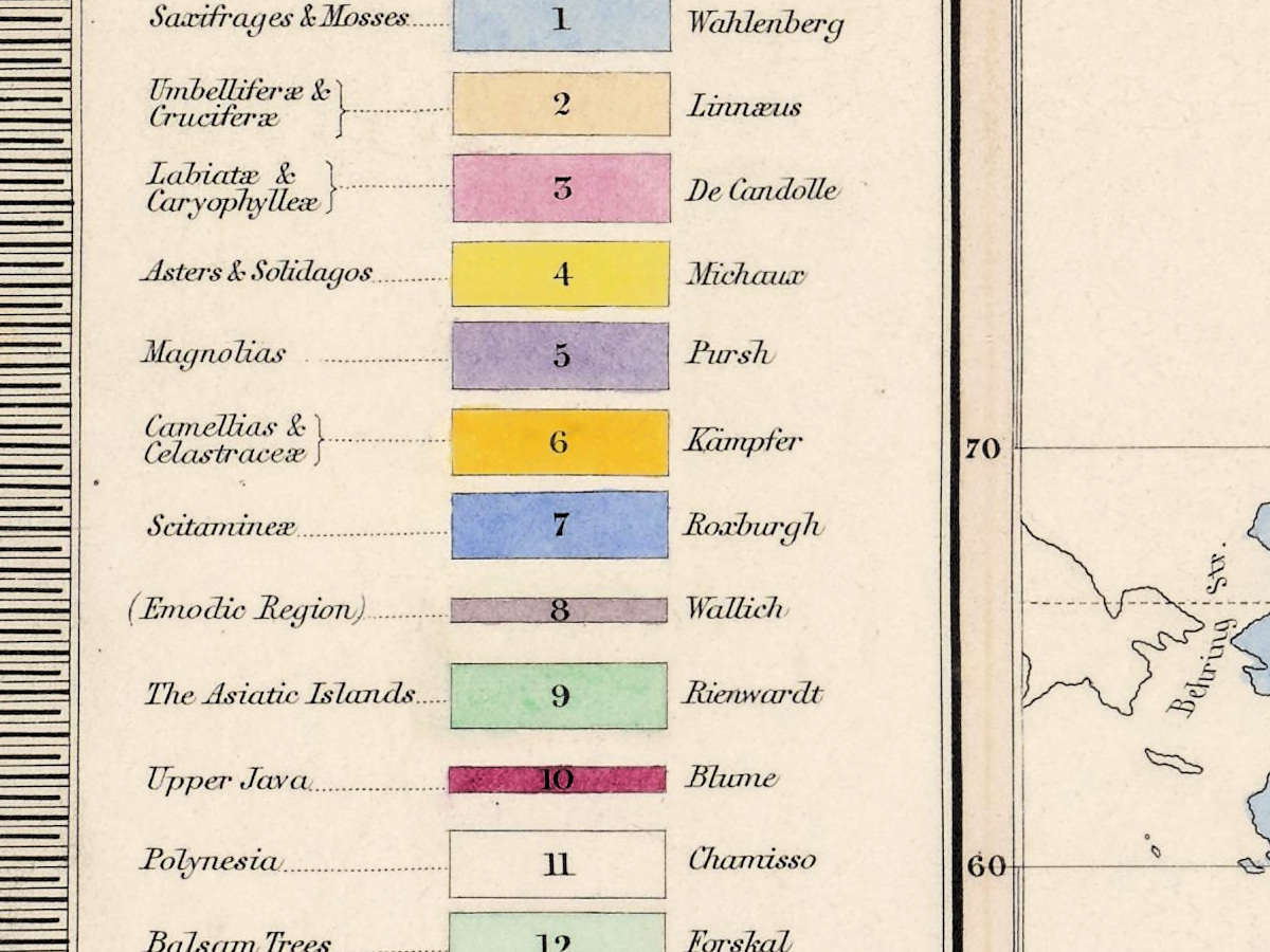
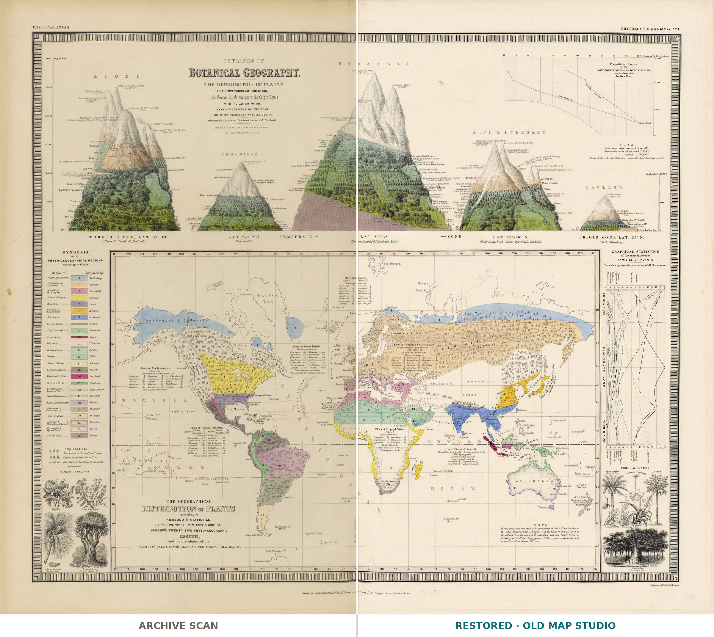
This colored world map is about plants. It is Outlines of Botanical Geography, a sheet from The Physical Atlas of Alexander Keith Johnston (1804–1871), which the National Library of Scotland records under the title ending “based on the Physikalischer Atlas of Professor H. Berghaus”. The Library’s record gives this copy the imprint “Edinburgh : William Blackwood & Sons, 1848”: a colored map of 65 × 55 cm on a sheet of 71 × 60 cm.
In the preface to the finished volume, dated April 1848, Johnston thanked Alexander von Humboldt, “at whose suggestion the Work was undertaken”, and explained that he had made copyright arrangements with Berghaus: of the thirty maps, fifteen were designed by Berghaus. The work first came out in parts – the 1845 prospectus promised three maps to a part, at one guinea, every other month – before William Blackwood & Sons issued it as a volume in 1848.
Johnston had gone into partnership as an engraver with his brother William in 1826, and in 1840 he was appointed geographer at Edinburgh in ordinary to the Queen; the Dictionary of National Biography lists further editions of the atlas in 1850 and 1856. Wellcome Collection publishes another copy of this sheet, catalogued with a “specimen number” of the atlas issued in Edinburgh in 1845.
The National Library of Scotland keeps the atlas under the shelfmark EMW.X.249; your file is made from its scan.
Your file
| Original | Edinburgh, William Blackwood & Sons, 1848, National Library of Scotland EMW.X.249; map 65 × 55 cm on a sheet of 71 × 60 cm |
| Scan | full sheet 8651 × 7447 px; the map inside the trimmed border 7945 × 6976 px |
| Print size at 300 dpi | the map prints to 67 cm (26 in), the full sheet with margins to 73 cm (29 in) |
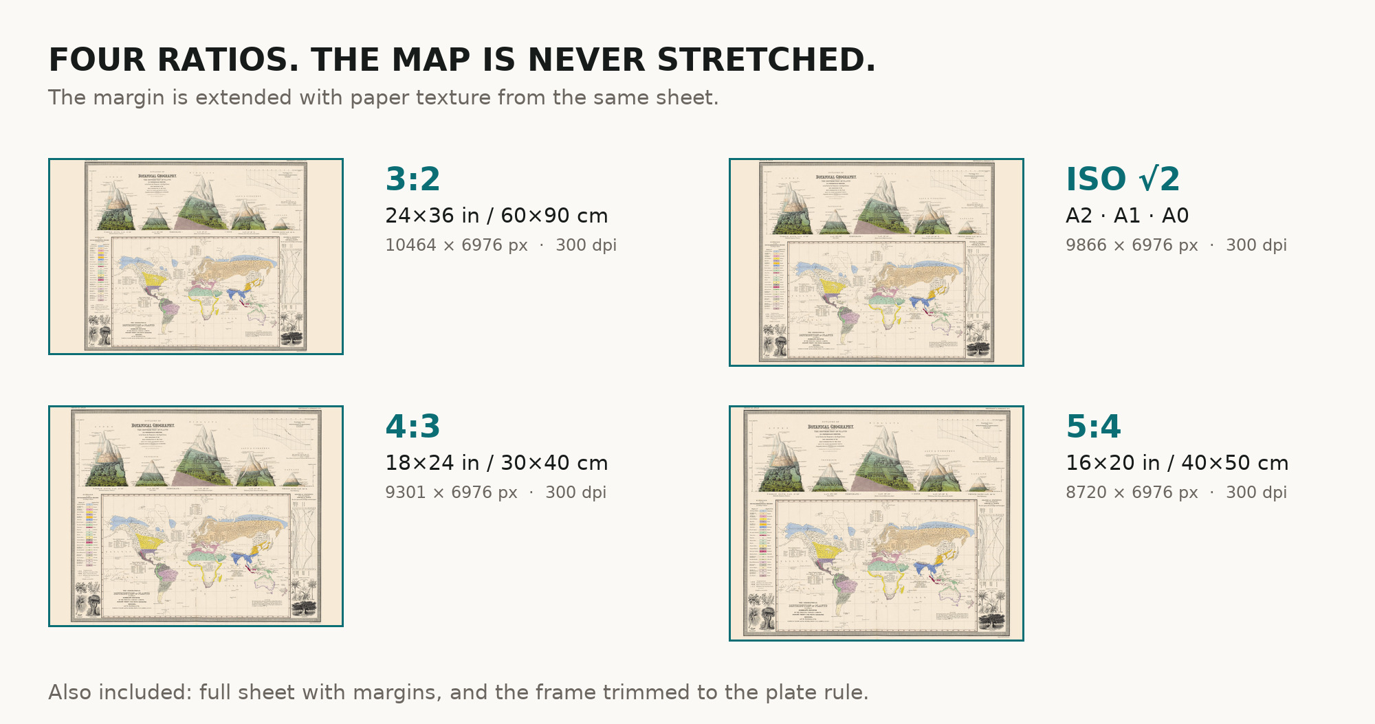
| You download | six ZIP archives: full sheet, trimmed, 3:2, 4:3, 5:4 and ISO A |
| Inside each one | one JPEG at 300 dpi, the restoration passport as a PDF, a READ ME |
How to print
- At 300 dpi the map prints to 67 cm. Pick the archive whose proportions match your frame; ask for matte fine-art paper in sRGB with auto-enhancement off.
- Where to print it: print shops near you and checked prices at online labs.
Source and rights
The file is made from the National Library of Scotland’s scan, published under a Creative Commons Attribution (CC BY) licence: reproduced with the permission of the National Library of Scotland. The record describes the map as colored but names neither the printing technique nor the method of coloring. There is no TIFF master in the package. Catalogue record: National Library of Scotland →
Features
- English
Attachments
Reviews
No reviews found
See also
-
 Antique World Map 1598 — Plancius, Wieder Facsimile 1927
-
Antique World Map 1740 — Seutter, Diversi Globi Terr-Aquei
-
Antique World Map 1873 — Vivien de Saint-Martin, Planisphère, Mercator
-
Antique World Map 1579 — Ortelius, Typus Orbis Terrarum
-
Antique World Map c. 1850 — Bartholomew, British Empire in One View
-
Antique World Map 1794 — Dunn, A New Map of the World