Antique World Map c. 1816 — Elizabeth Knight, Map of the World

Description
An antique hand-drawn world map, 1816–1820
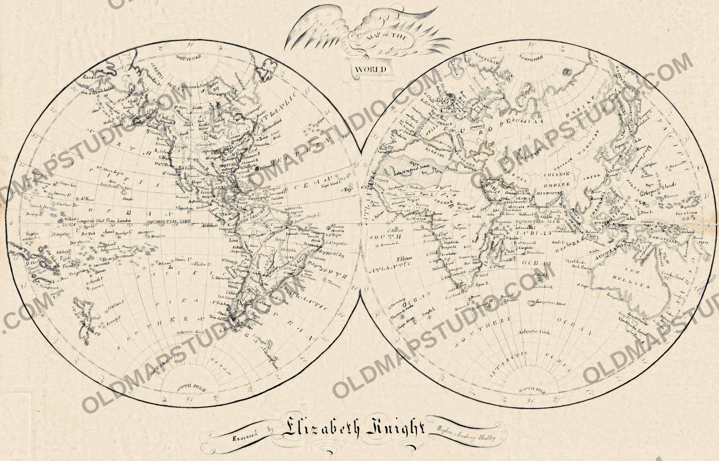
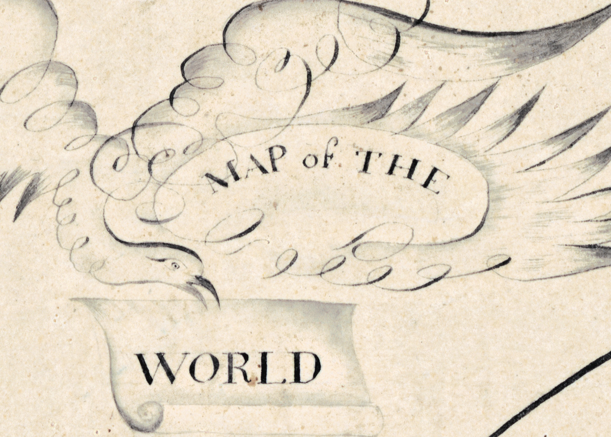
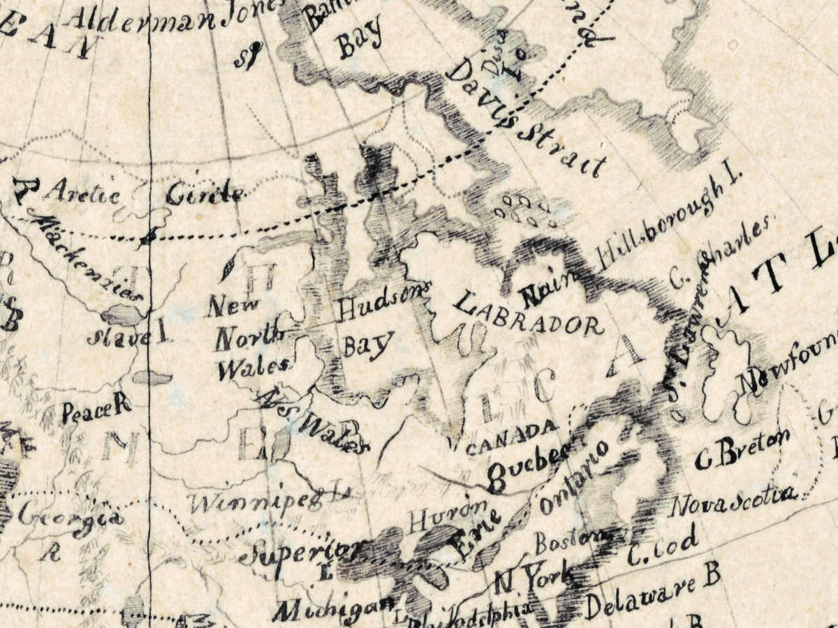
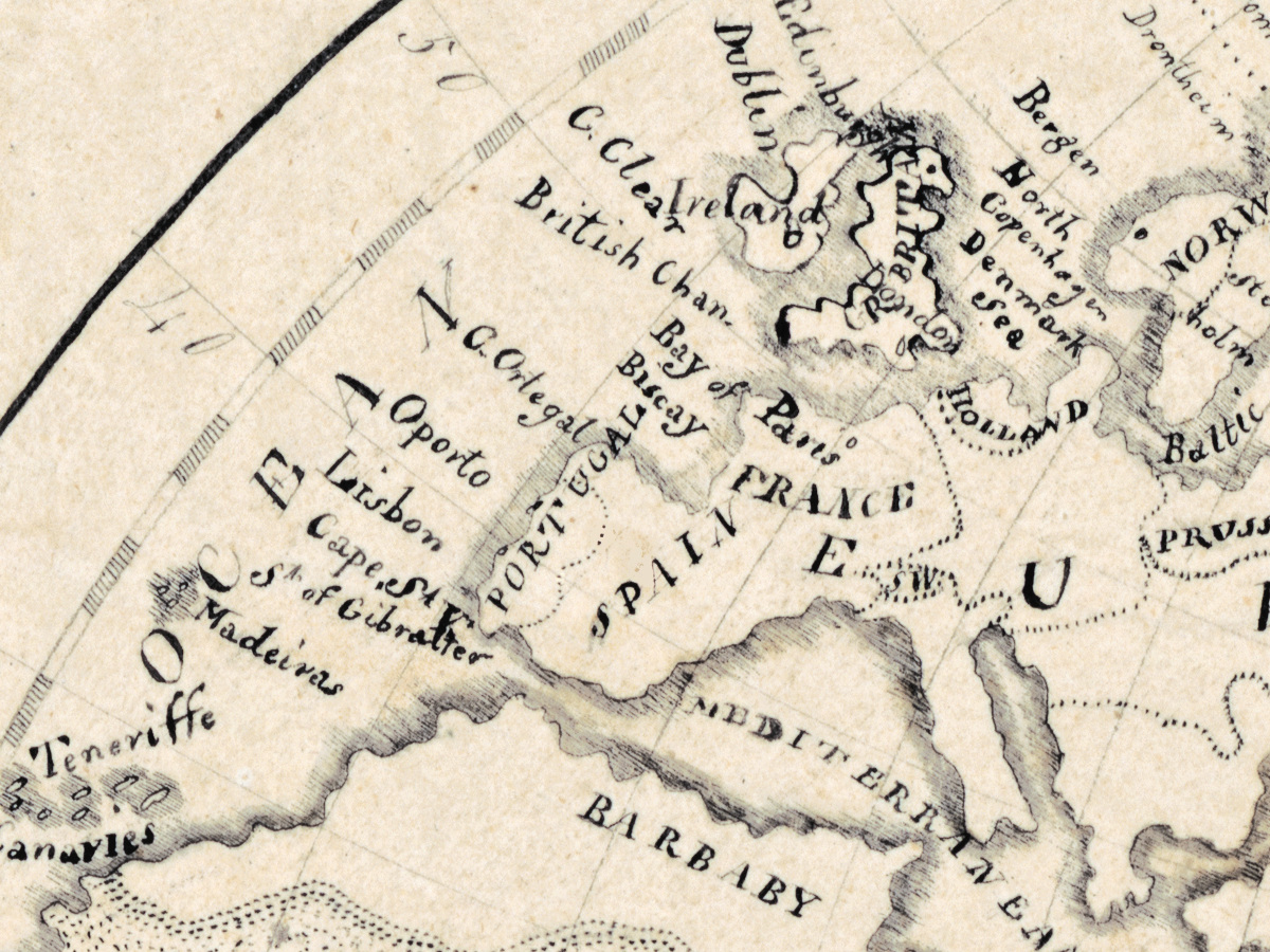
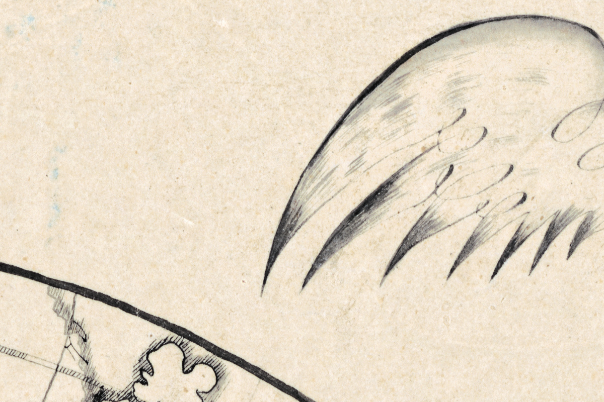
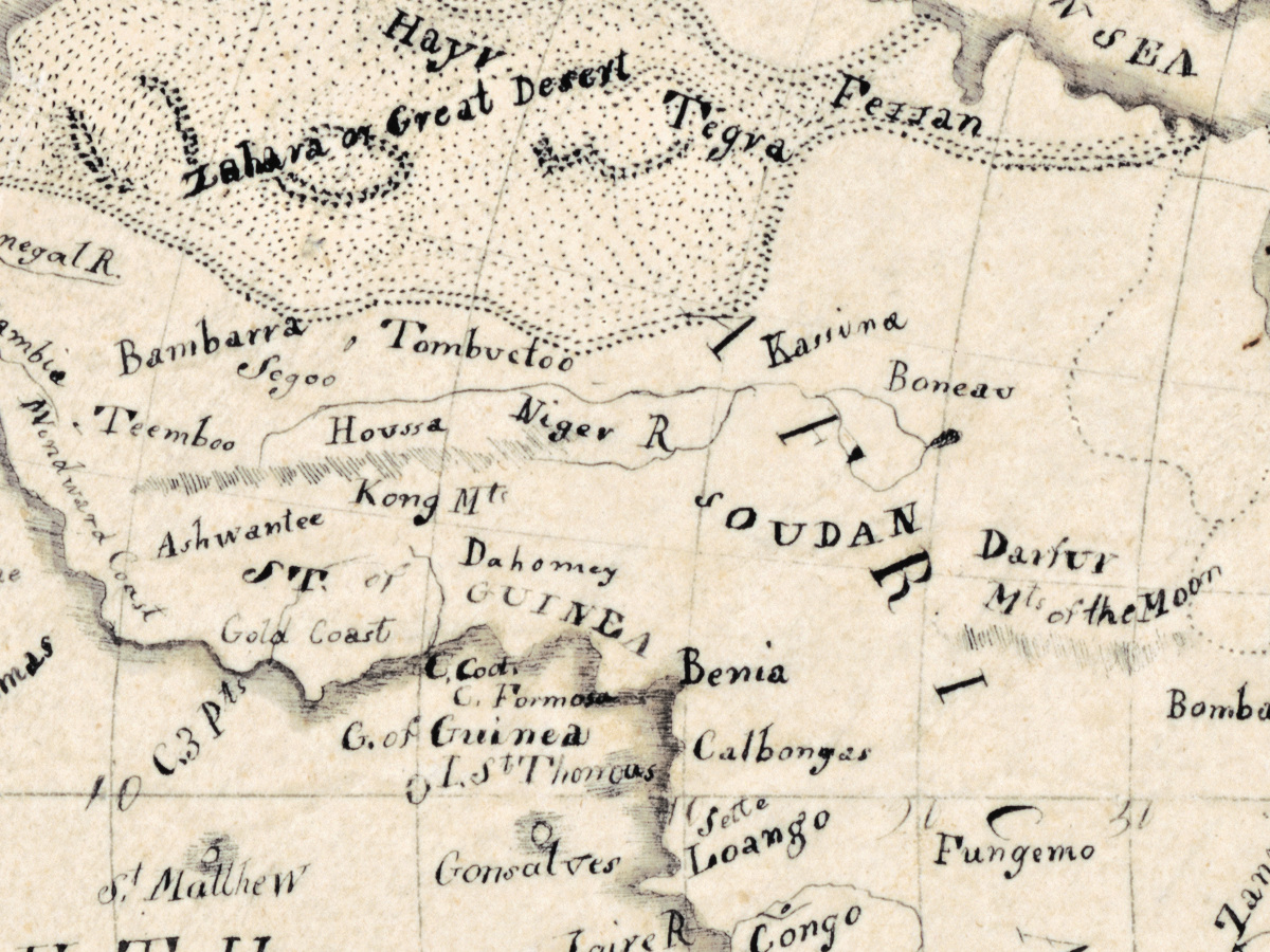
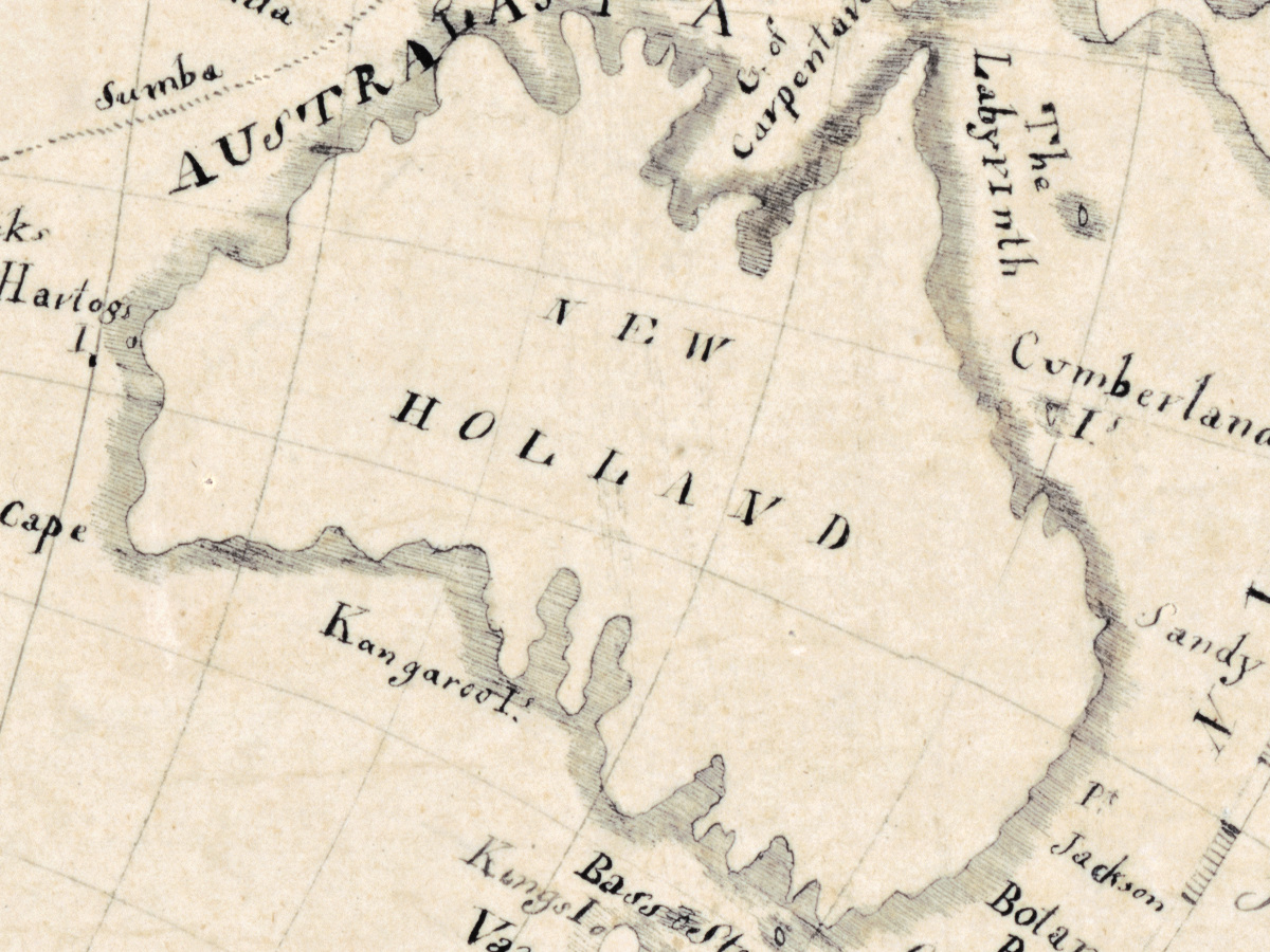
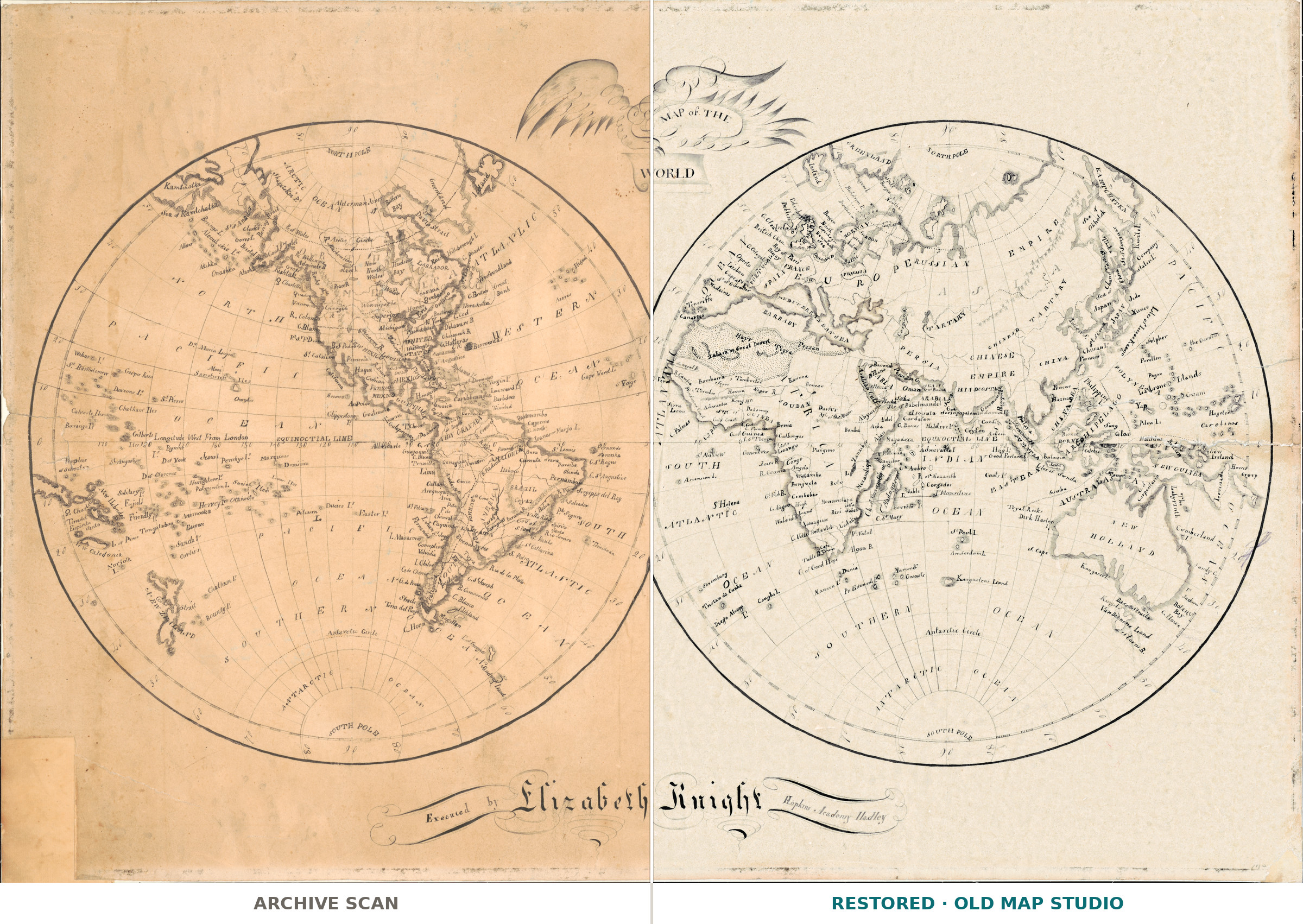
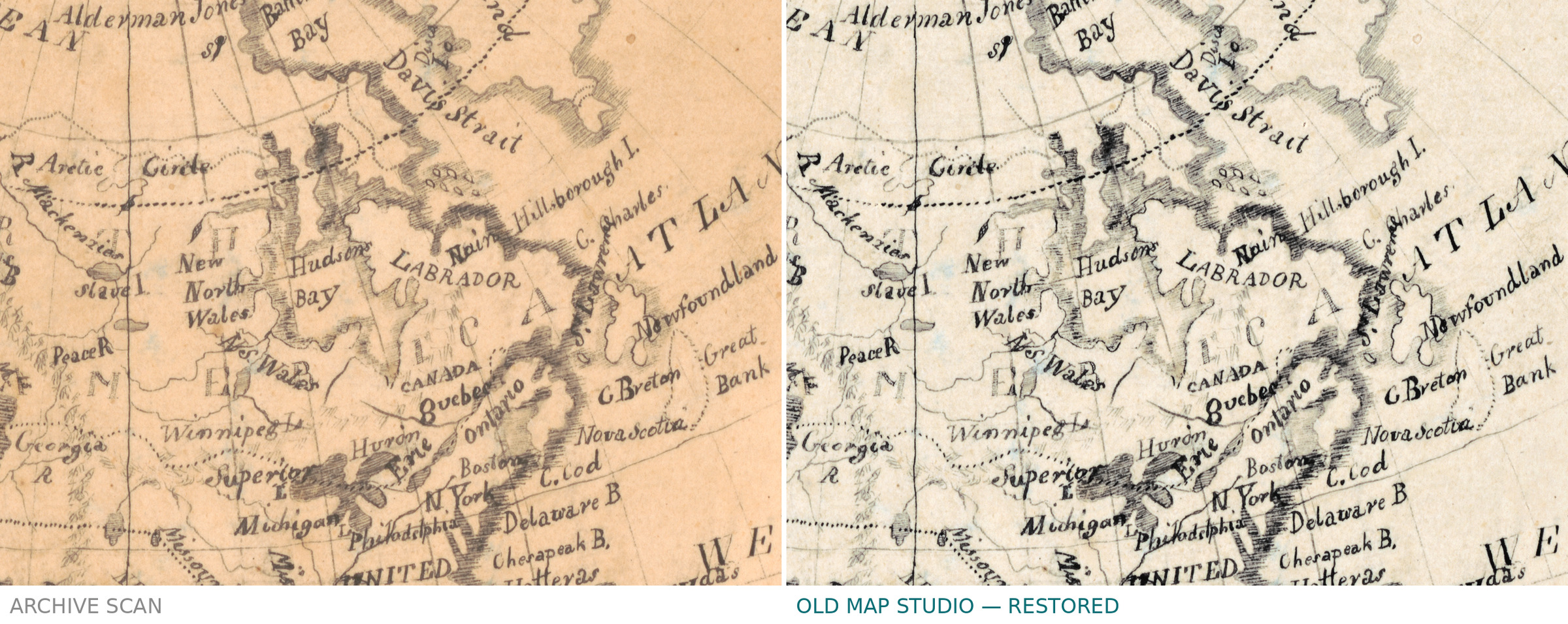
This map of the world was drawn by hand, not printed. The Library of Congress catalogs it as a manuscript map of two hemispheres, each 36 cm in diameter, on a sheet of 51 × 75 cm, and names its maker as Elizabeth Knight, active 1810–1820. The title sits within an illustration of an eagle, and relief is shown by shading.
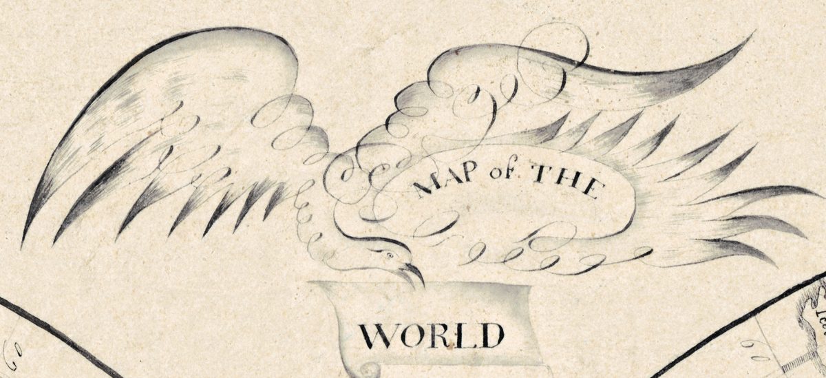
Who Elizabeth Knight was, the record does not say; the sheet itself is signed Executed by Elizabeth Knight and names Hopkins Academy Hadley. Hand-drawn world maps of these years have a well-documented setting: the Osher Map Library describes how, from the 1790s to the 1830s, students aged twelve to sixteen, “primarily but not exclusively female”, at academies, seminaries and other schools along the Eastern Seaboard drew, painted and stitched maps that brought together geographic and historical knowledge, penmanship and artistry. Some were copied and traced, others drawn freehand on the grid of longitude and latitude, and they went out of fashion in the 1830s and 1840s as printed classroom maps became widely available. The Library of Congress dates the sheet between 1810 and 1820. According to the history of the school published by its trustees in 1890, an act of the Massachusetts legislature of June 1816 gave the Hopkins Donation School in Hadley the name and standing of Hopkins Academy, so the sheet, which bears that name, can date from 1816 at the earliest; we therefore give it as 1816–1820.

What to look for on the sheet
- The title set within an illustration of an eagle.
- Two hemispheres, each 36 cm across.
- Relief shown by shading.
- The lower left corner, cut away.
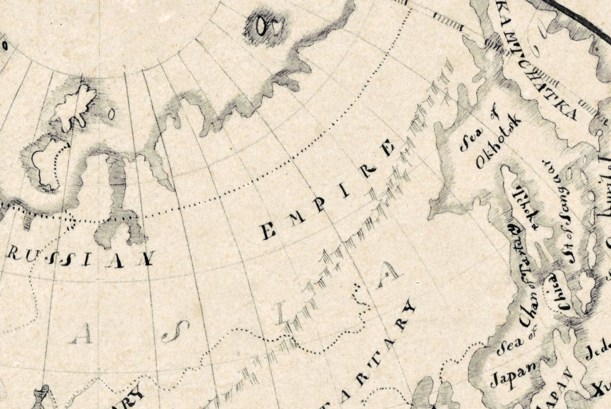
The sheet is mounted on cloth. It came to the Library of Congress as a gift from Miss Faith Bradford in July 1957 and is kept as G3200 1810 .K6; your file is made from the library’s scan.
Your file
| Original | manuscript map, between 1816 and 1820, Library of Congress G3200 1810 .K6; sheet 51 × 75 cm, mounted on cloth |
| Scan | full sheet 8846 × 5993 px; the map inside the trimmed border 8532 × 5468 px |
| Print size at 300 dpi | the map prints to 72 cm (28 in), the full sheet with margins to 74 cm (29 in) |
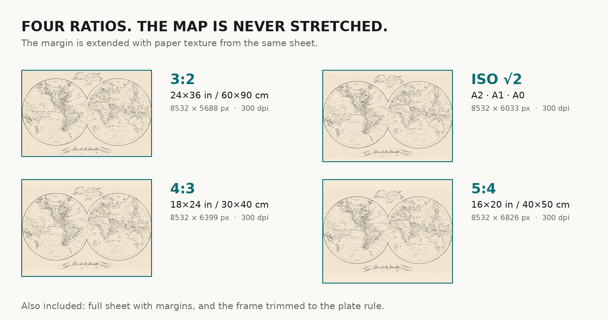
| You download | six ZIP archives: full sheet, trimmed, 3:2, 4:3, 5:4 and ISO A |
| Inside each one | one JPEG at 300 dpi, the restoration passport as a PDF, a READ ME |
How to print
- At 300 dpi the map prints to 72 cm, close to the size of the original sheet. Pick the archive whose proportions match your frame; ask for matte fine-art paper in sRGB with auto-enhancement off.
- Where to print it: print shops near you and checked prices at online labs.
Source and rights
The file is made from the Library of Congress scan, which the library marks free to use and reuse. The record calls the sheet a manuscript map and gives its creation as [Hadley, Mass.], [1810–1820] – both in brackets, that is, supplied by the cataloger; it does not name the drawing materials or any coloring. There is no TIFF master in the package. Catalogue record: Library of Congress →
Features
- English
Attachments
Reviews
No reviews found
See also
-
 Antique World Map 1826 — Tanner, Terra Veteribus Nota
-
Antique World Map 1807 — Hansteen, Abweichungskarten
-
Antique World Map c. 1488 — Le Rouge, La mer des hystoires
-
Antique World Map 1602 — Mercator & Hondius, Orbis Terrae
-
Antique World Map c. 1867 — Drioux, Planisphère
-
Antique World Map 1710 — Hōtan, Nansenbushū Bankoku Shōka