Antique World Map 1800 — Wallis, A New Map of the World
Description
An old world map of 1800 that was sold cut into 54 pieces
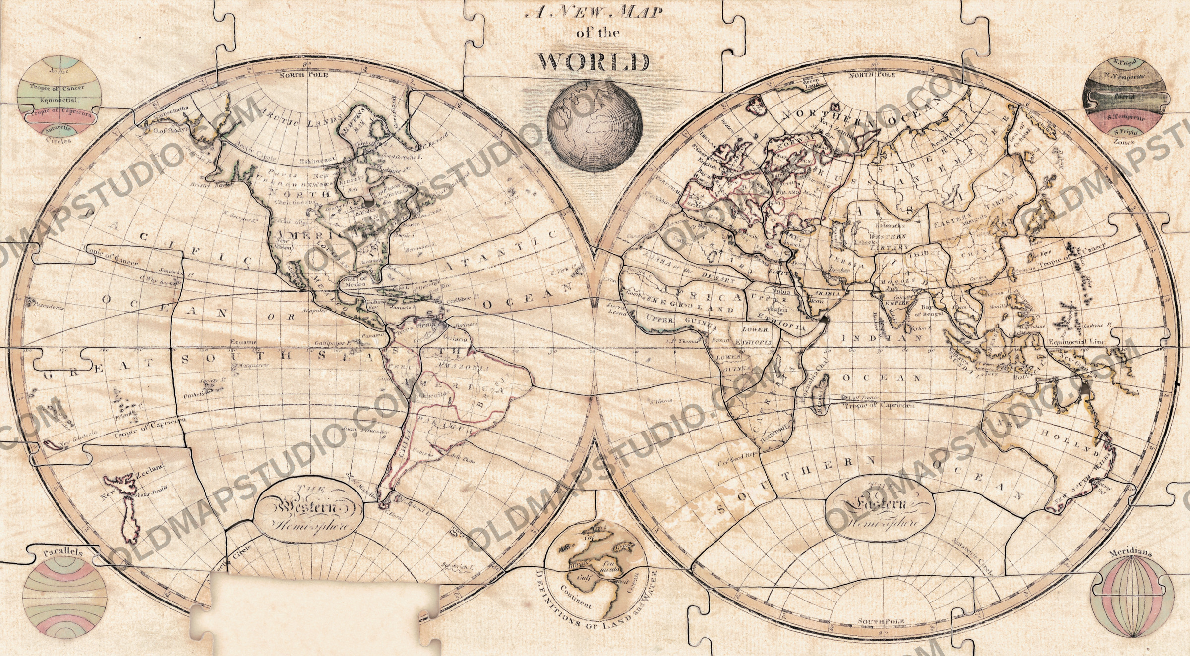
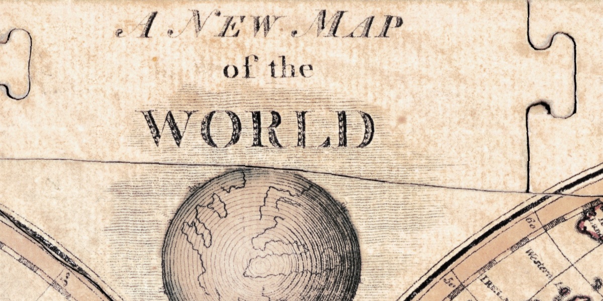
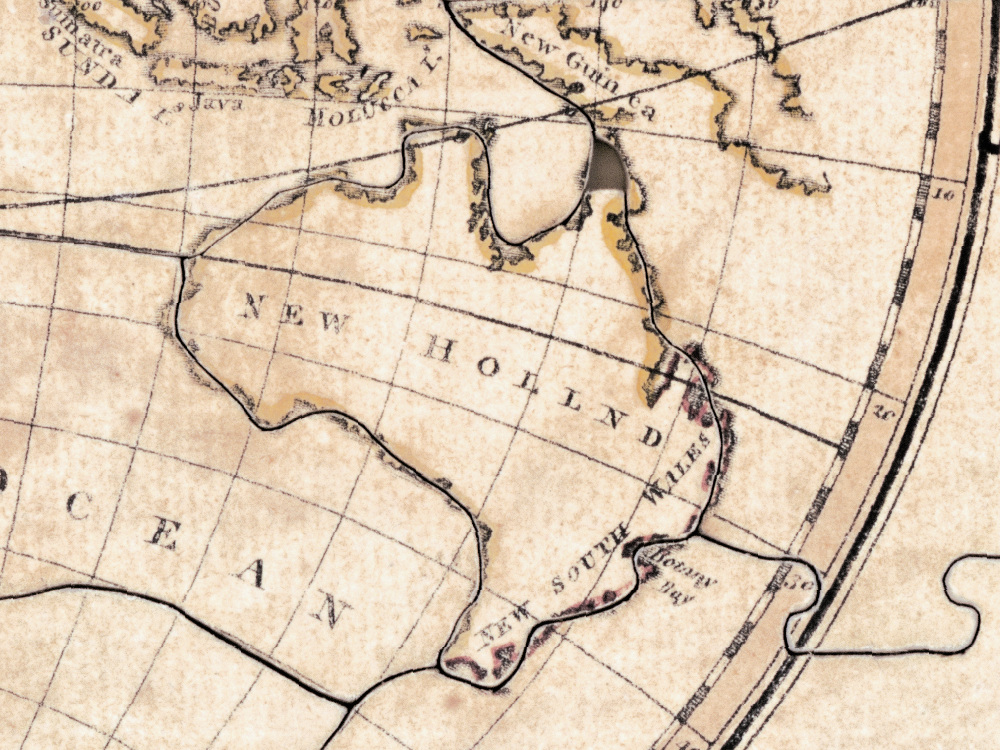
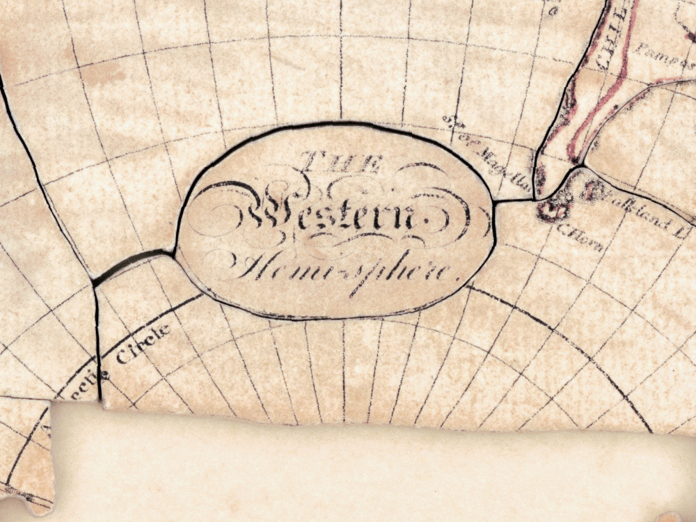
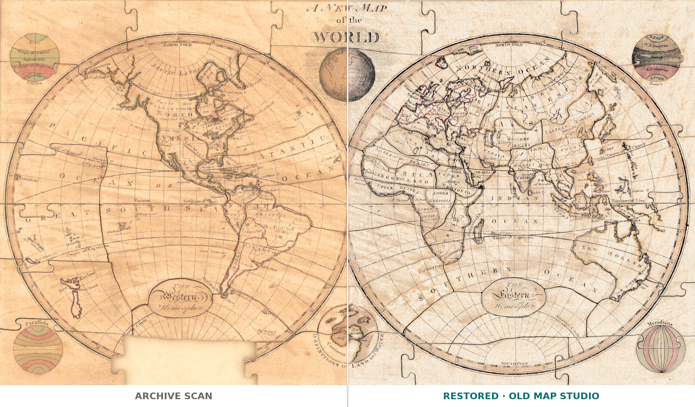
A new map of the world, published by John Wallis in London on 28 June 1800, was never meant to hang on a wall. The Library of Congress catalogues it not as a map but as a jigsaw puzzle: fifty-four pieces, paper mounted on wood, hand colored, 24 by 43 cm, kept in a wooden box of 16 by 19 by 5 cm. Wallis sold it from his Map Warehouse at 16 Ludgate Street. Dissected maps like this one were how children of 1800 learned geography — you put the world back together, and the seams of the cut are part of the object.
What is on the sheet
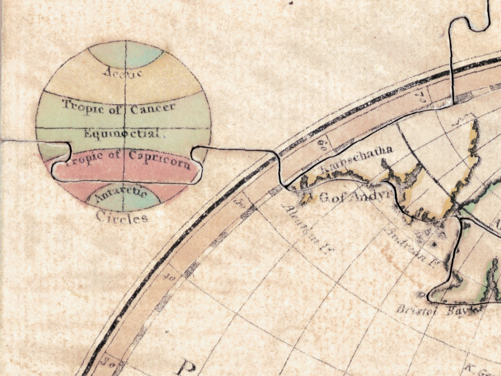
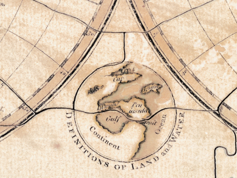
Two hemispheres of 20 cm each, lettered in English, and around them six small ancillary maps that explain the apparatus of geography itself: circles, parallels, zones, meridians, the definitions of land and water, and the world. That is the schoolroom logic of the thing — the map teaches you how to read a map before it tells you where anything is.
The copy we scanned, honestly
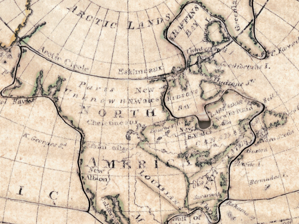
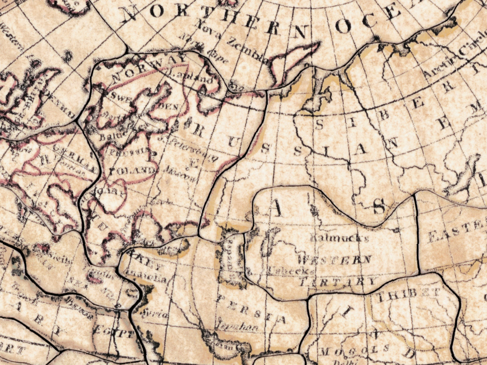
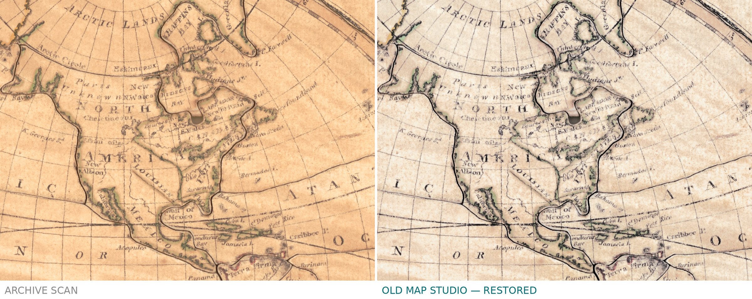
This copy is imperfect and the Library says so: one piece is missing. You will see the gap on the file, and we have not filled it in. Restoring a missing piece would mean drawing geography that is not there, which is the one thing this studio does not do. The cut lines between the other fifty-three pieces are visible too, and they stay: they are what the object is.
Your file
| Original | John Wallis, London, published 28 June 1800, Map Warehouse, 16 Ludgate Street |
| Object | dissected map, 54 pieces, paper on wood, hand colored, 24 × 43 cm, two hemispheres of 20 cm |
| Scan | full sheet 4946 × 2745 px; the map inside the trimmed border 4942 × 2695 px. From the library's own scan, not an upscale |
| Print size at 300 dpi | the map prints to 41 cm (16 in) and the full sheet with margins to 41 cm (16 in) — the two come out the same, because this object has no blank margins |
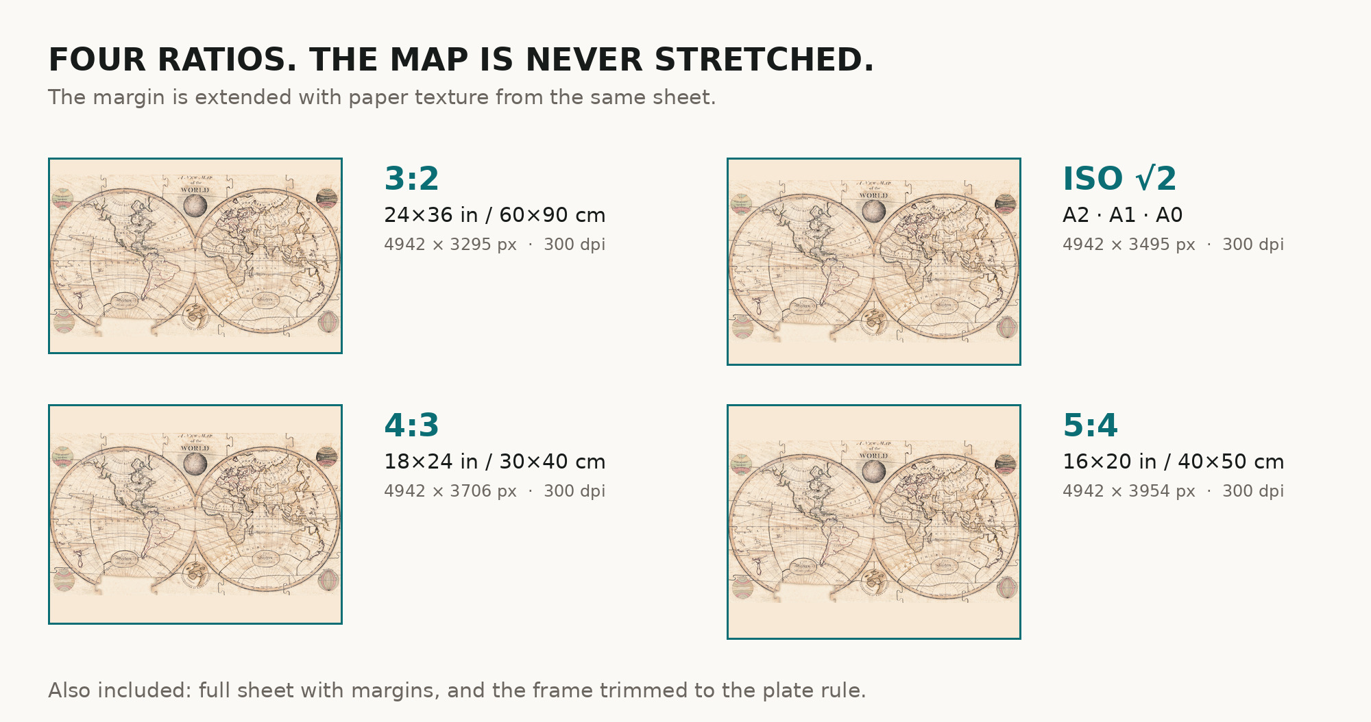
| You download | six ZIP archives: full sheet, trimmed, 3:2, 4:3, 5:4 and ISO A |
| Inside each one | one JPEG at 300 dpi, the restoration passport as a PDF, a READ ME |
How to print
- Pick the archive whose proportions match your frame, so nothing is cropped or stretched.
- Ask for matte fine-art paper, printed in sRGB with auto-enhancement off.
- Where to print it: print shops near you and checked prices at online labs.
Source and rights
Library of Congress, Geography and Map Division, call number G3201.A9 1800 .W3, LCCN 85694393. The Library states the content is free to use and reuse, crediting Library of Congress, Geography and Map Division. There is no TIFF master in the package. Catalogue record: Library of Congress →
Questions
What exactly do I get after paying?
Six ZIP archives, each with one JPEG at 300 dpi, a restoration passport as a PDF and a READ ME. They differ only in framing.
Can I see the puzzle cuts and the missing piece?
Yes, and you should expect to. The cut lines between the pieces and the one gap the Library records are both on the file. Neither was painted out.
Is this a real antique map or a generated image?
A scan of a real object of 1800 held by the Library of Congress under call number G3201.A9 1800 .W3. Restoration evens the paper tone; it does not redraw the map.
Features
- English
Attachments
Reviews
No reviews found
See also
-
 Antique World Map 1870 — Barber, Pharmaceutical Map
-
Antique World Map 1628 — Danckerts, Charte Vniuerselle
-
Antique World Map 1848 — Johnston, Zoological Geography
-
Antique World Map 1652 — Sanson, L'Hydrographie
-
Antique World Map 1811 — d'Anville, Orbis Veteribus Notus
-
Antique World Map 1811 — Van Schaack, Most Recent Discoveries