Antique World Map 1818 — Macpherson, Orbis Veteribus Cognitus
ICGCRM131267


Description
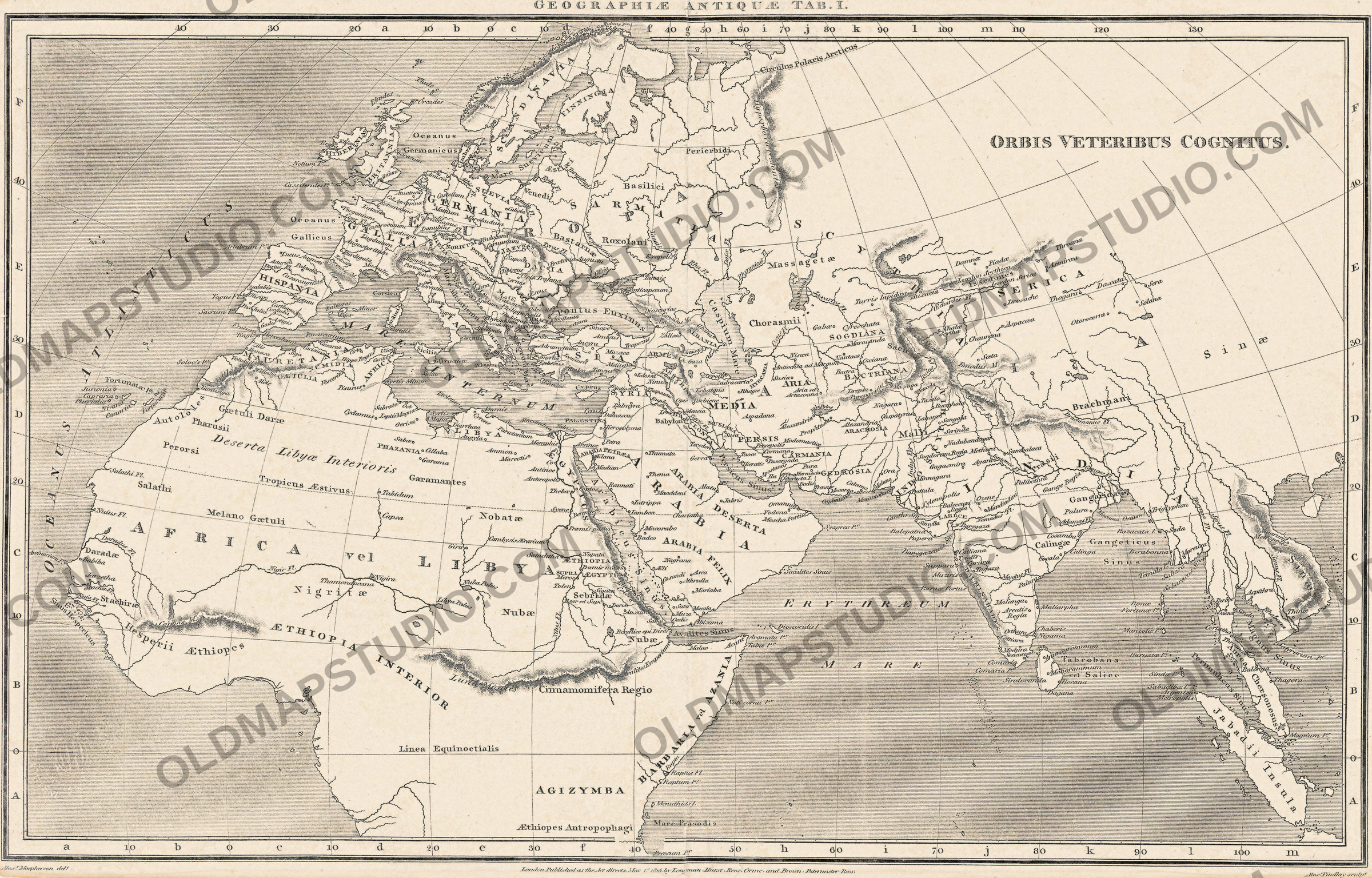
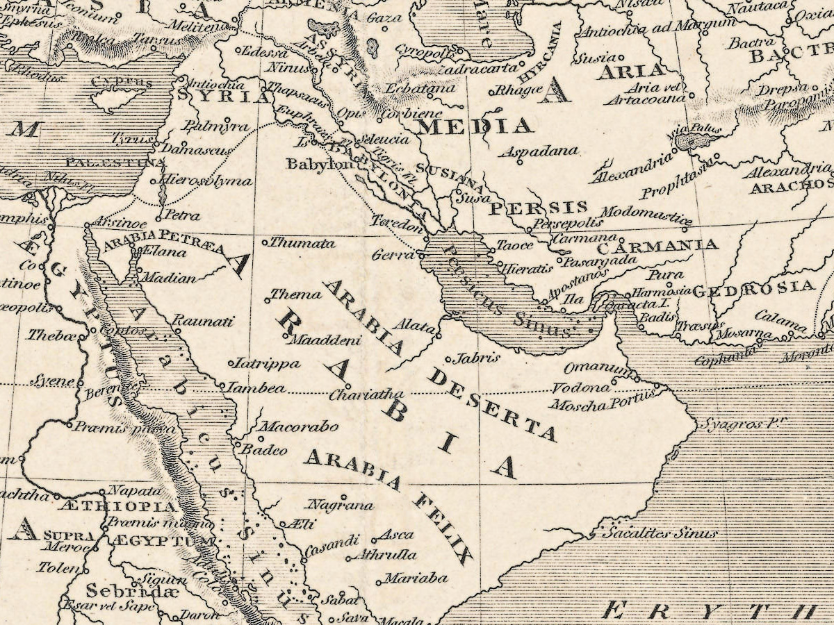
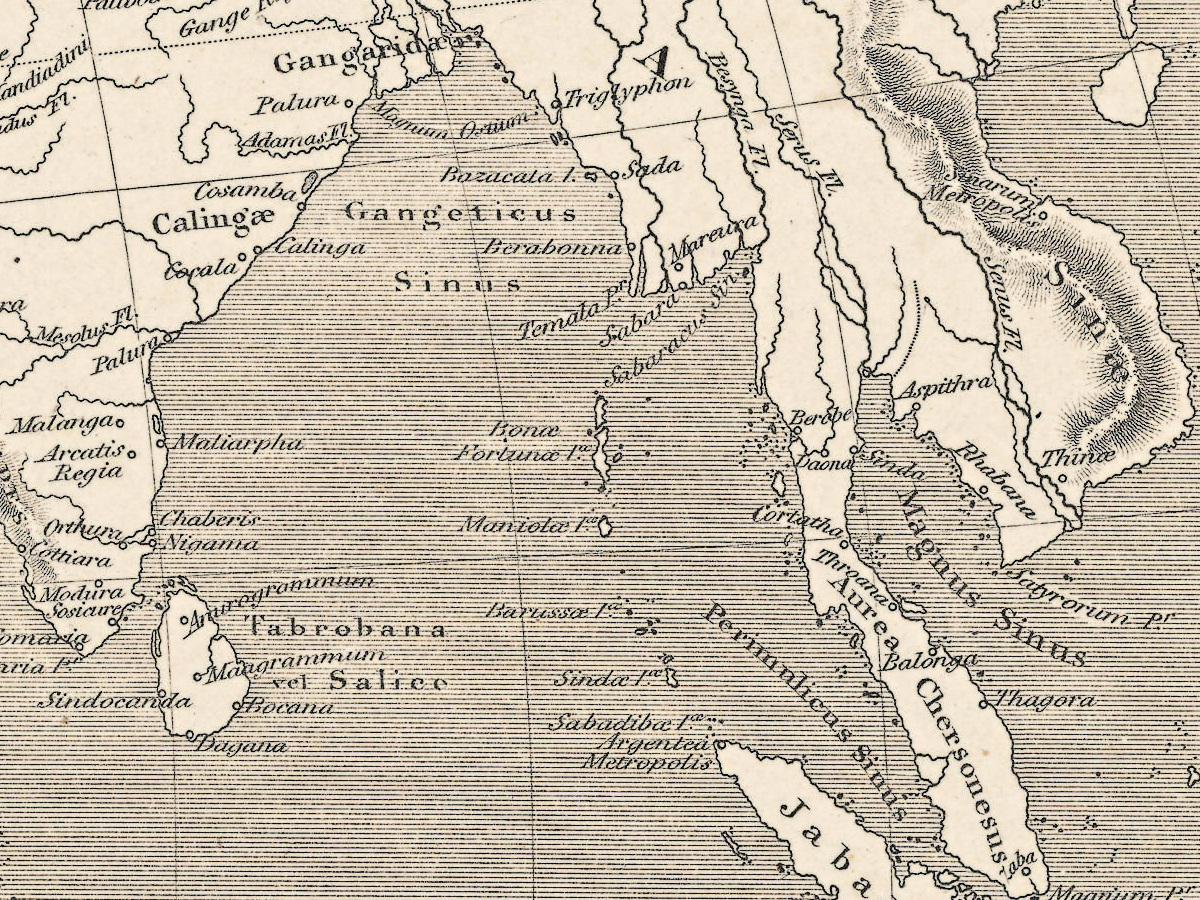
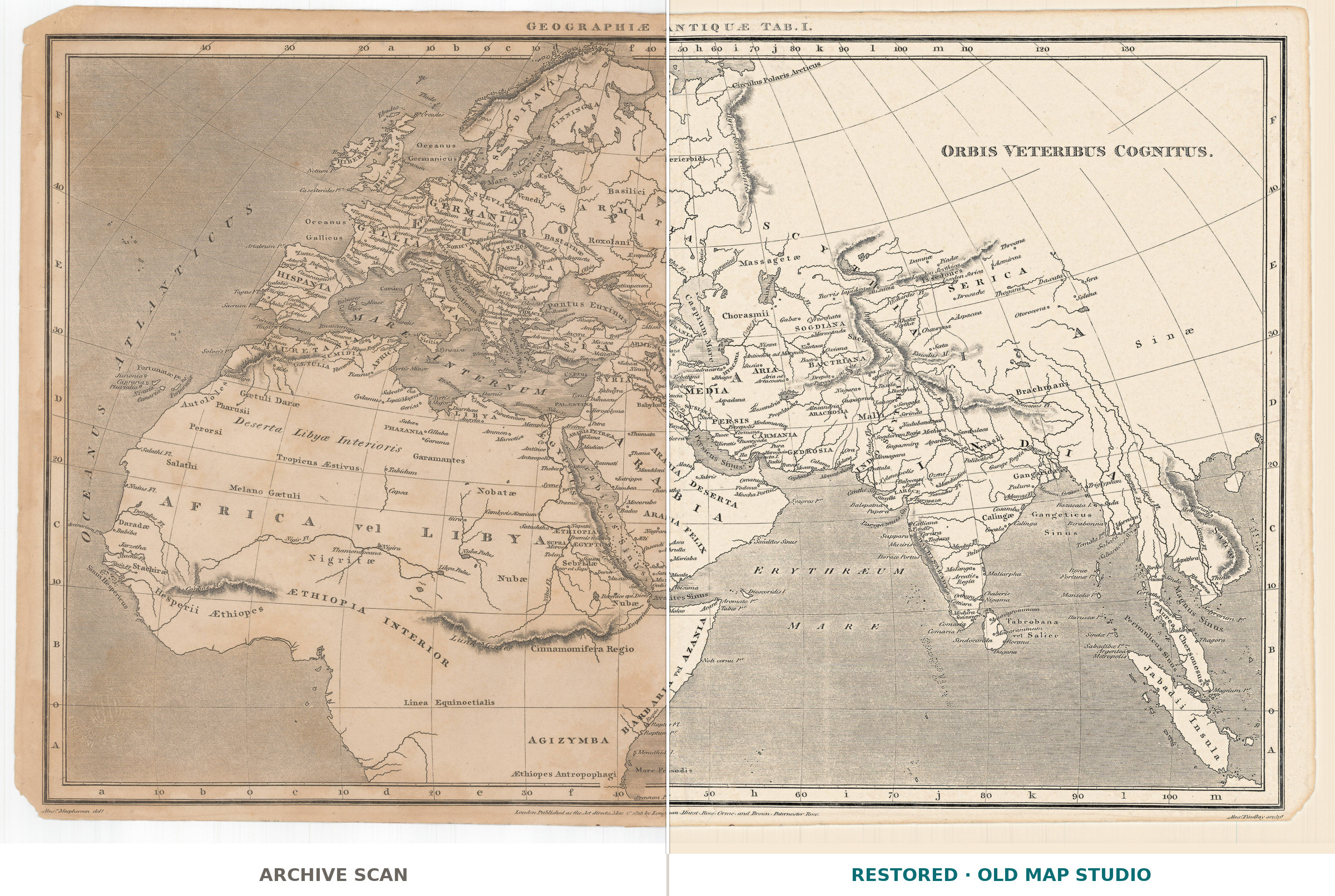
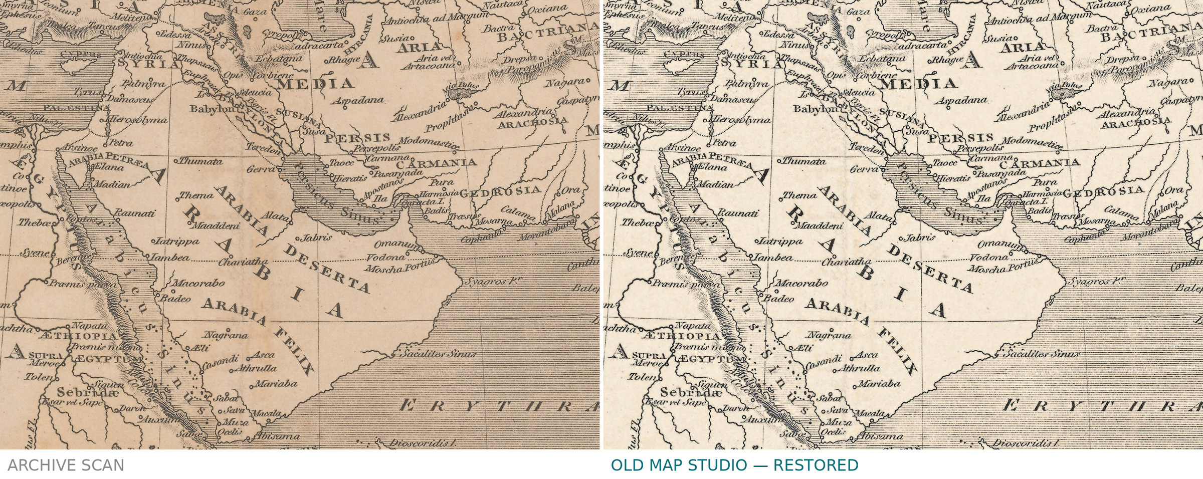
An old world map of the world the ancients knew
Orbis veteribus cognitus — the world as it was known to the ancients — is plate I of Geographiae antiquae, dated 1818. The sheet names its own makers: Alex. Macpherson del., who drew it, and Alex Findlay sculp., who cut the plate. Past that line, the plate number and the year, the record of the Cartoteca Digital is silent: no place of publication, no sheet size, no scale, no technique, no coloring. None of them is claimed here.
Your file
| Original | drawn by Alex. Macpherson, engraved by Alex Findlay, 1818 |
| Sheet | plate I of Geographiae antiquae; size not stated |
| Print size at 300 dpi | the map prints to 40 cm (16 in), the full sheet with margins to 43 cm (17 in) |
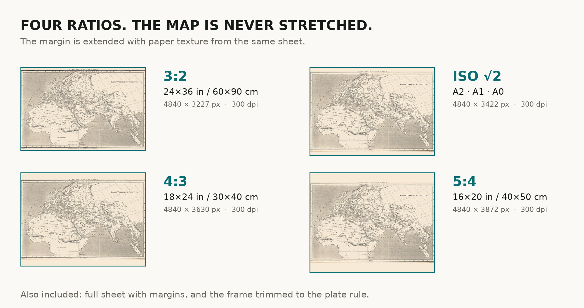
| You download | six ZIP archives: full sheet, trimmed, 3:2, 4:3, 5:4 and ISO A |
| Inside each one | one JPEG at 300 dpi, the restoration passport as a PDF, a READ ME |
How to print
- Print at 300 dpi at the size above and do not let the shop scale the file up.
- Pick the archive whose proportions match your frame — nothing is cropped or stretched.
- Where to print it: print shops near you and checked prices at online labs.
Source and rights
Institut Cartogràfic i Geològic de Catalunya, Cartoteca Digital, registry number RM.131267, marked Public Domain Mark 1.0. The archive is named in the passport inside every download. Catalogue record: Cartoteca Digital ICGC →
Every map is a scan of a real sheet held in a named archive — library, shelfmark and year, all stated. Nothing generated, nothing redrawn.
Features
Map details
Century
1800s
Year
1818
Full original title
Orbis veteribus cognitus / Alex. Macpherson del. ; Alex Findlay sculp.
Place of publication
Not stated in the record
Published in
Geographiae antiquae, tab. I
Technique
Not stated in the record
Original color
Not stated in the record
Projection and layout
Not stated in the record
Language of the map
- Latin
File & printing
Full sheet width, px
5181
Full sheet height, px
3315
Map at 300 dpi, cm
40
Full sheet at 300 dpi, cm
43
Aspect ratio
1.56
Orientation
Landscape
Provenance & rights
Source archive
Institut Cartogràfic i Geològic de Catalunya
Shelfmark or file ID
RM.131267 · IIIF monregions/139 · OCLC 707615196
Rights
Public domain
Attachments
Reviews
No reviews found
See also
-
 Antique World Map 1651 — Sanson, Mappe-Monde ou Carte Générale
-
Antique World Map 1618 — Geylekerck, Orbis Terrarum Descriptio
-
Antique World Map 1778 — Brion de la Tour, Mappemonde
-
Antique World Map 1564 — Mercator, Quam Hic Vides Orbis Imaginem
-
Antique World Map 1700 — Wells, Terraqueous Globe
-
Antique World Map 1714 — Delisle, Orbis Veteribus Noti