Antique World Map 1848 — Johnston, Zoological Geography

Description
An old world map of where the world's birds live
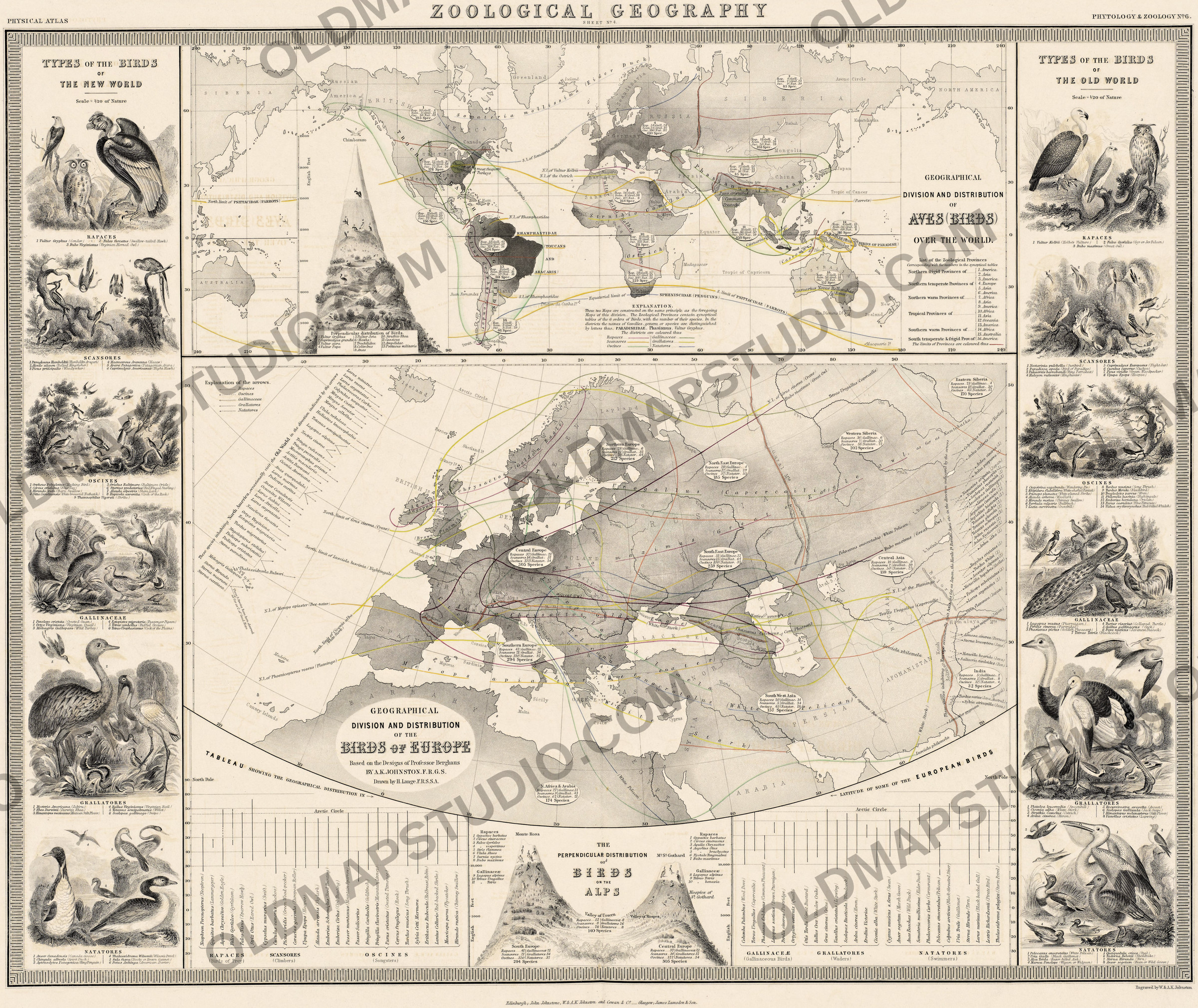
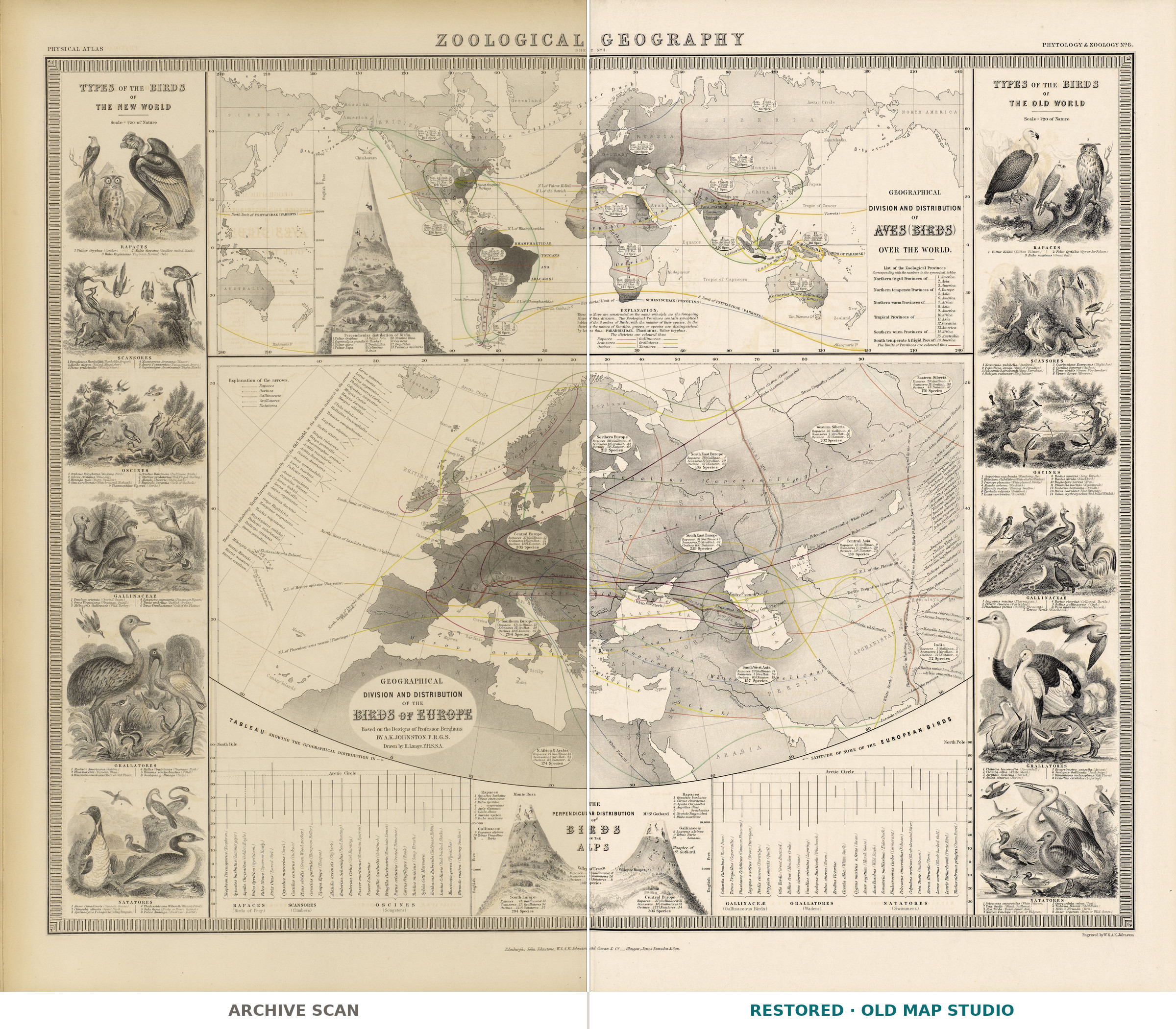
This sheet maps birds, not borders. The upper map divides the whole world into bird provinces and counts their species; the lower one turns to Europe and draws lines for single species across it — the northern limits of the crane, the nightingale and the bee-eater, and others named for the capercaillie, the golden eagle and the great owl. Two diagrams show birds by height, and the upper corners hold birds of prey from the New World and the Old.
The sheet comes from The Physical Atlas of Alexander Keith Johnston (1804–1871), published in Edinburgh by William Blackwood & Sons in 1848. In its preface Johnston thanked Alexander von Humboldt, “at whose suggestion the Work was undertaken.” It drew on the Physikalischer Atlas of Heinrich Berghaus, published in Gotha: Johnston made copyright arrangements with Berghaus to publish part of it, and of the thirty maps in the finished atlas, fifteen were designed by Berghaus. The atlas first came out in parts, three maps to a part, from 1845, and a reviewer in 1846 listed the birds sheet first in the fifth part.
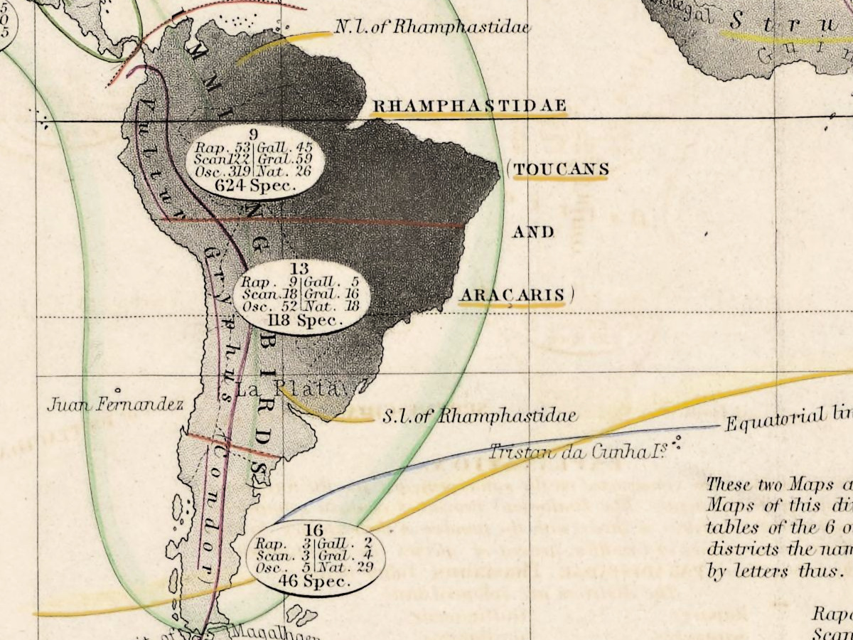
The world map rests on the zoology of its day. That reviewer explains that its figures come from the classification of Hermann Pompper, arranged on Cuvier's system, which divides the globe into sixteen provinces in three groups by zone; the map alters those divisions for Europe, making it one undivided province. Each province carries an oval counting its species in six orders — birds of prey, climbers, songbirds, game birds, waders and swimmers. The reviewer pointed out a striking exception: although species are generally most numerous in the tropics, Europe had more than any other province except tropical America.
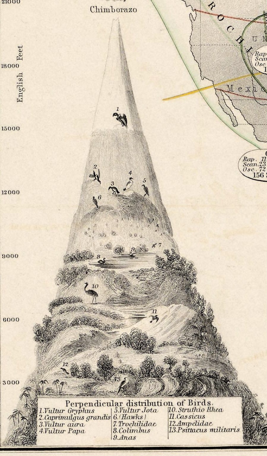
Beside the Americas, Chimborazo rises on a scale of English feet, with thirteen numbered birds set at their heights, from the military macaw among the palms at its foot to the condor, highest of all, above 15,000 feet. The Alps between Monte Rosa and the St. Gotthard, at the bottom of the sheet, do the same for Europe.
What to look for on the sheet
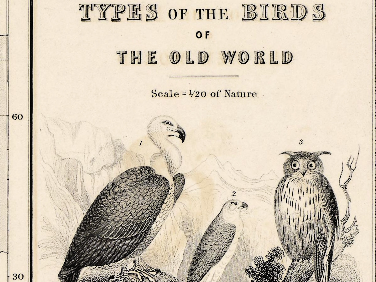
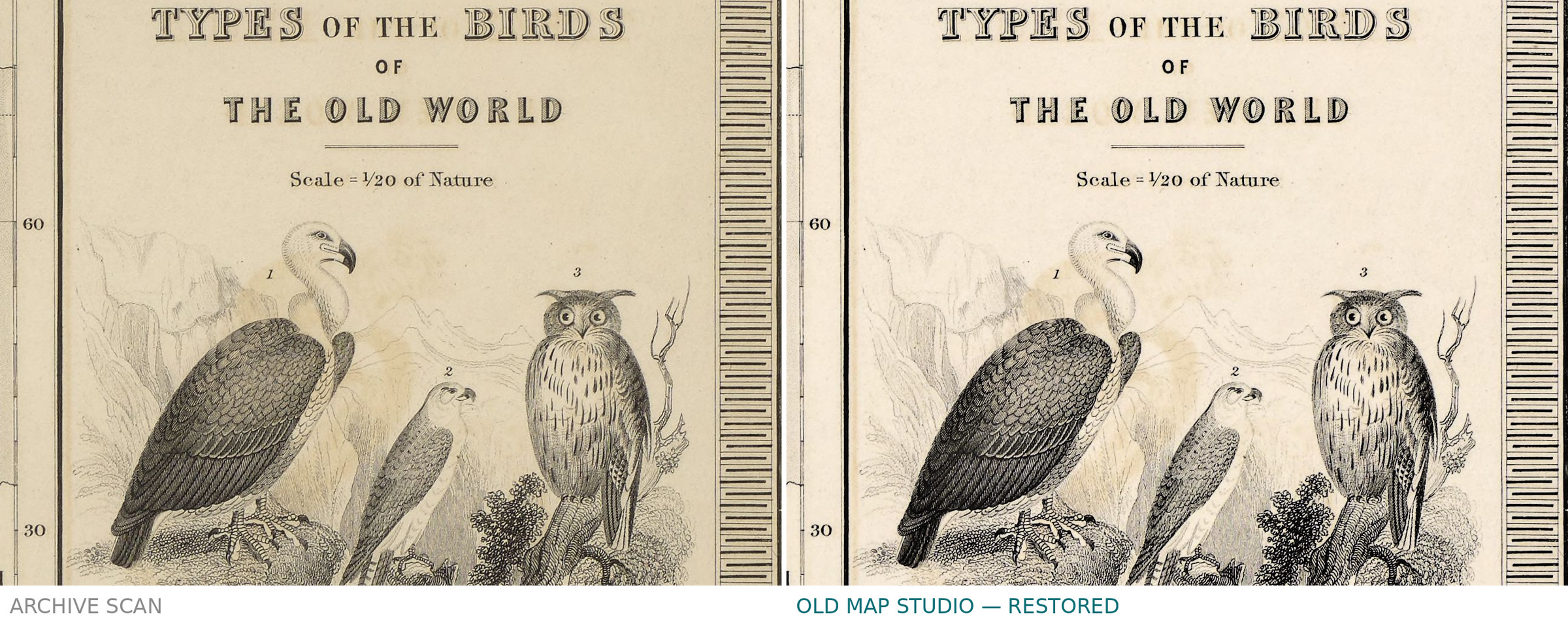
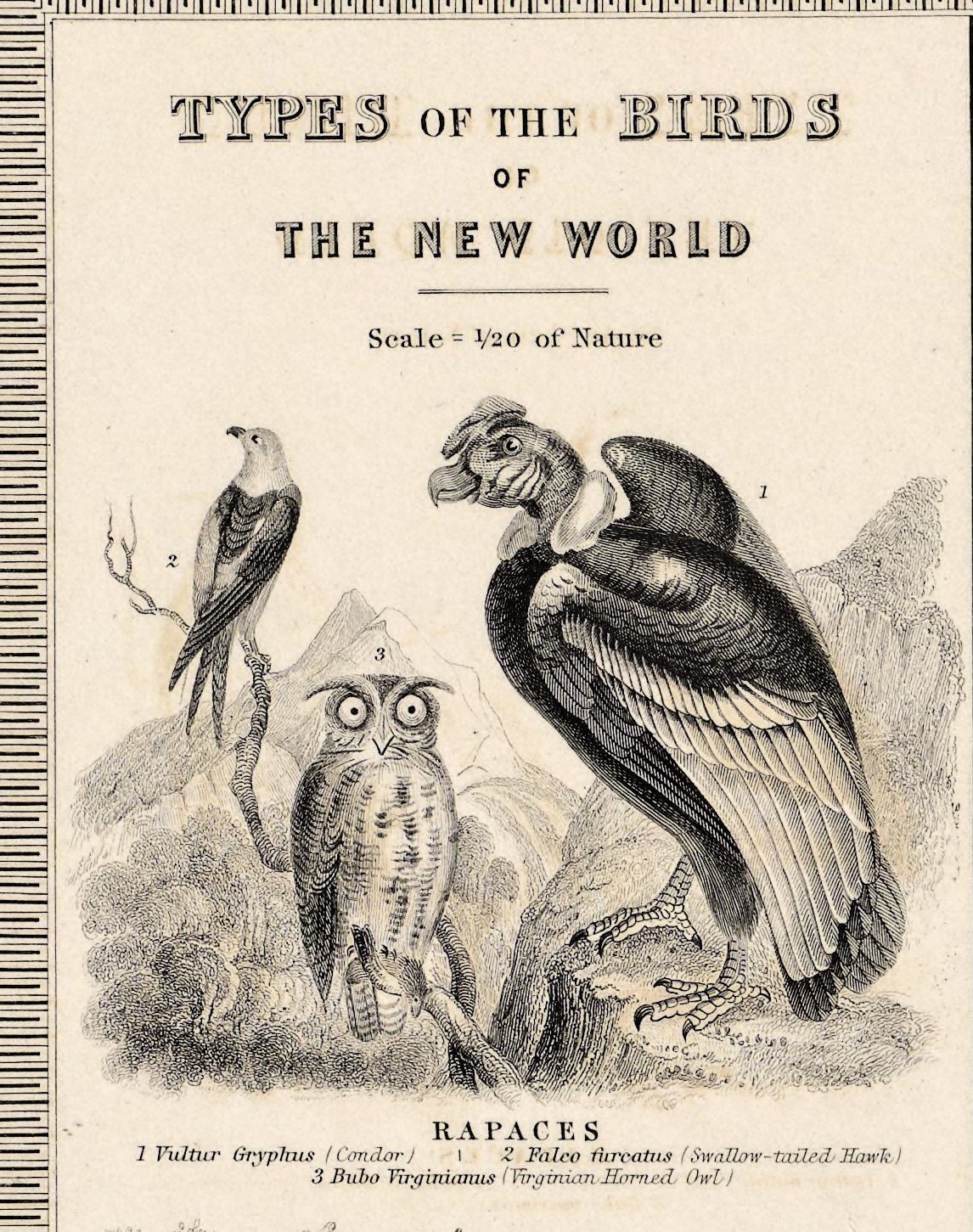
- The top corners: Types of the Birds of the New World and of the Old World, at one twentieth of natural size — the condor, the swallow-tailed hawk and the Virginian horned owl on the left; Kolbe's vulture, the gyrfalcon and the great owl on the right.
- On the world map, the label Paradiseidae (Birds of Paradise) across New Guinea, and colored lines labeled with bird groups, such as the parrots.
- In the Atlantic of the lower map, a column of North American species with arrows, and the note These species inhabiting North America, occasionally visit the Old World in the direction indicated by the arrows.
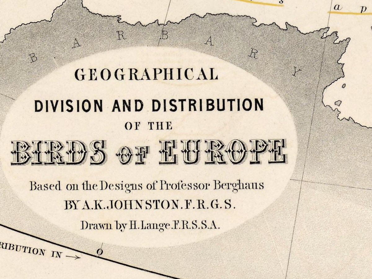
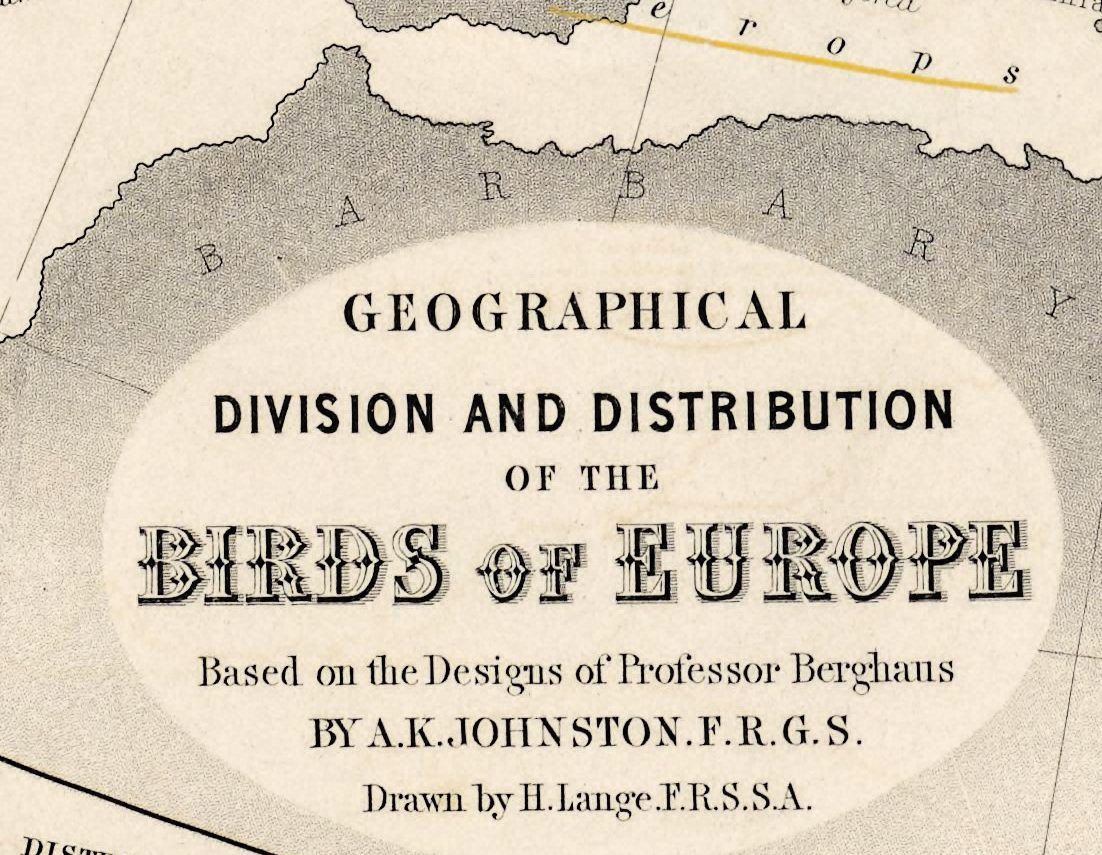
- Over North Africa, the title oval of the Europe map with its credits: Based on the Designs of Professor Berghaus by A. K. Johnston F.R.G.S. Drawn by H. Lange F.R.S.S.A.
- Europe's regions in ovals with their totals — 305 species for Central Europe, 212 for Northern Europe.
- The header: Sheet No 4 under the title and Phytology & Zoology No 6 at the right.
The plates of 1848 were issued again with an 1850 title page. In the second edition of 1856 the birds became plate 29, which still carries the two panels of bird types and two diagrams of birds by height, one of them for the Alps. Johnston had gone into partnership as an engraver with his brother William in 1826, founding the firm W. & A. K. Johnston, and in 1840 he was appointed geographer at Edinburgh in ordinary to the Queen.
Your file
| Original | A. K. Johnston, William Blackwood & Sons, Edinburgh, 1848, colored |
| Sheet | map 65 × 55 cm, sheet 71 × 60 cm |
| Scan | 8817 × 7439 px, the library's own scan, not an upscale |
| Print size at 300 dpi | the map prints to 69 cm (27 in), the full sheet with margins to 74 cm |
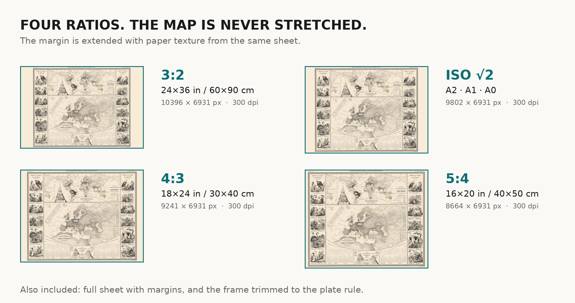
| You download | six ZIP archives: full sheet, trimmed, 3:2, 4:3, 5:4 and ISO A |
| Inside each one | one JPEG at 300 dpi, the restoration passport as a PDF, a READ ME |
How to print
- Print at 300 dpi at the size above; do not let the shop scale the file up.
- Pick the archive whose proportions match your frame.
- Where to print it: print shops near you and checked prices at online labs.
Source and rights
National Library of Scotland, shelfmark EMW.X.249. The scan is under CC BY 4.0: the library and the note of modification are in the passport of every archive. The record does not name the printing technique. Catalogue record: National Library of Scotland →
Features
- English
Attachments
Reviews
No reviews found
See also
-
 Antique World Map 1811 — d'Anville, Orbis Veteribus Notus
-
Antique World Map 1870 — Barber, Pharmaceutical Map
-
Antique World Map 1677 — Duval, Carte Vniverselle du Commerce
-
Antique World Map 1800 — Wallis, A New Map of the World
-
Antique World Map 1541 — Fries, Tabula Noua Totius Orbis
-
Antique World Map 1628 — Danckerts, Charte Vniuerselle