Antique World Map 1811 — d'Anville, Orbis Veteribus Notus
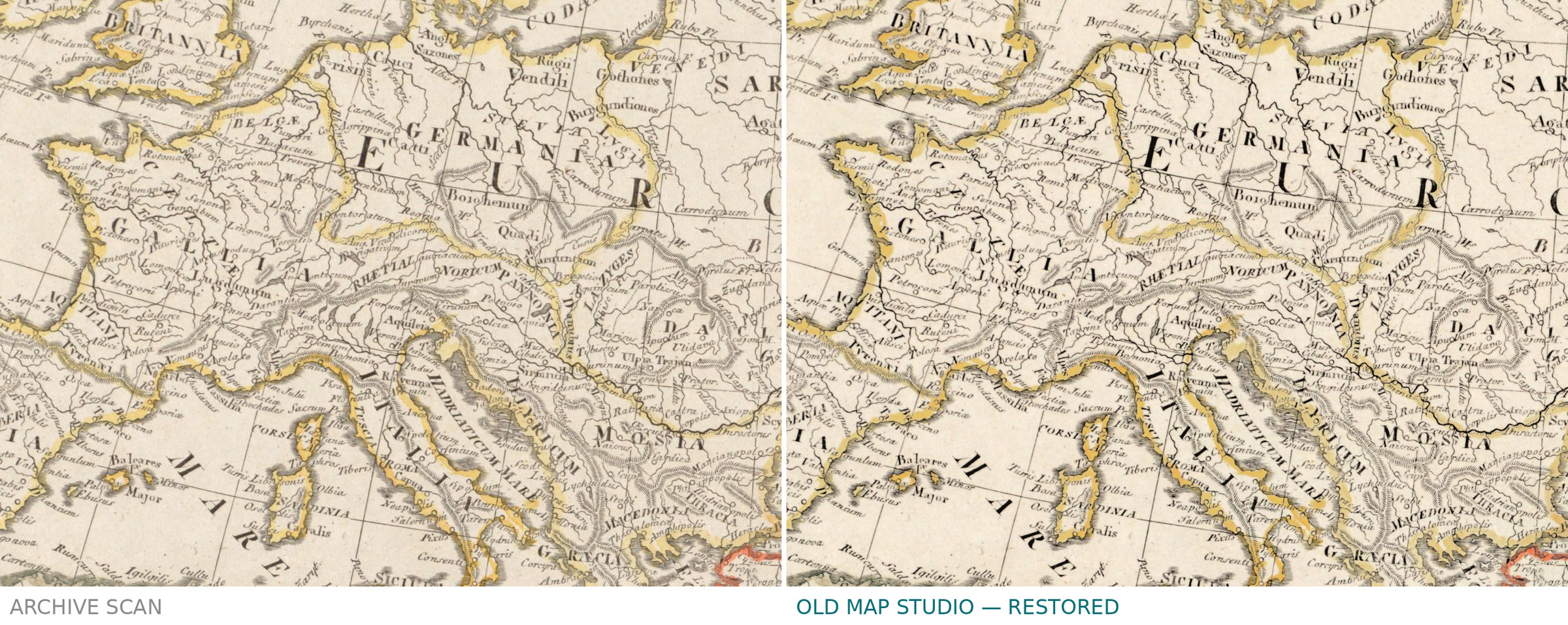
Description
An old world map of the world the ancients knew
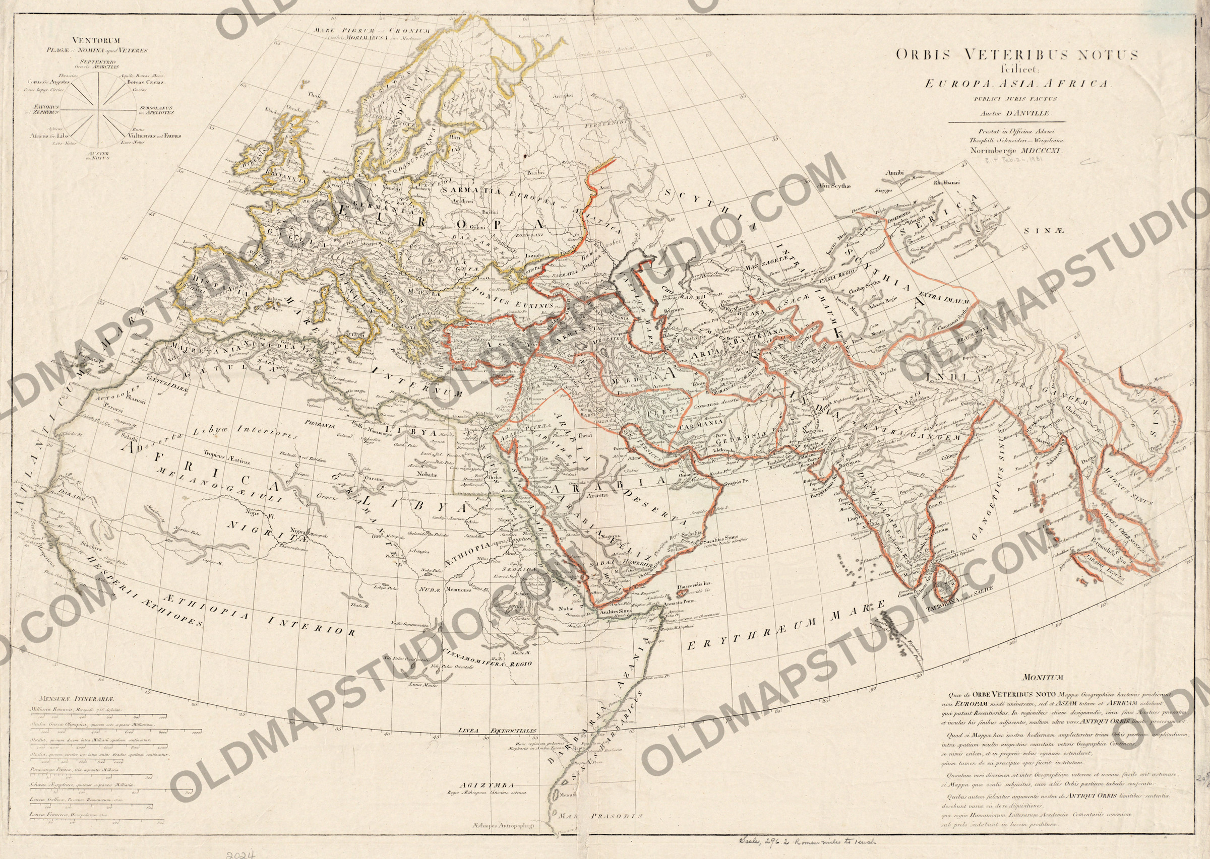
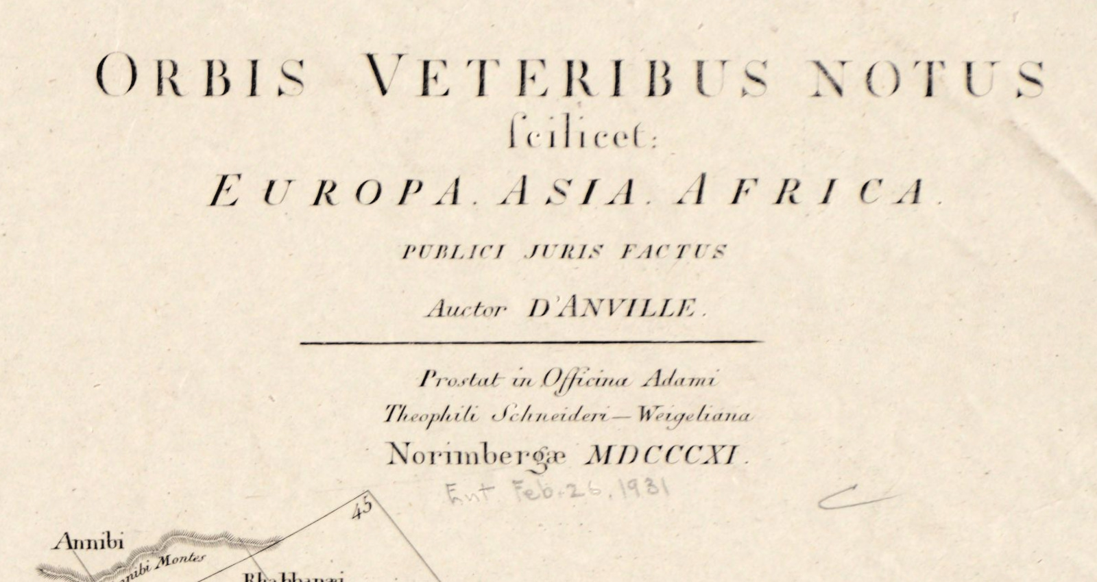
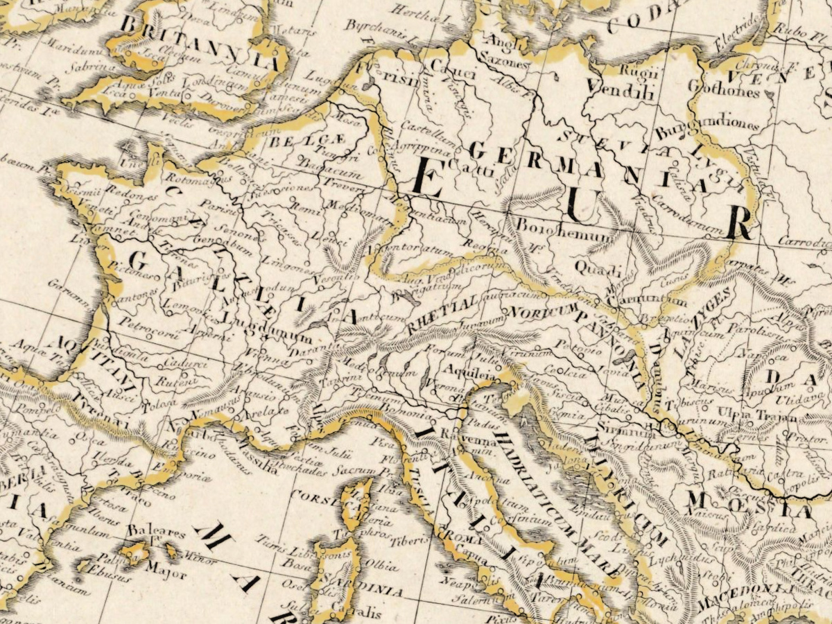
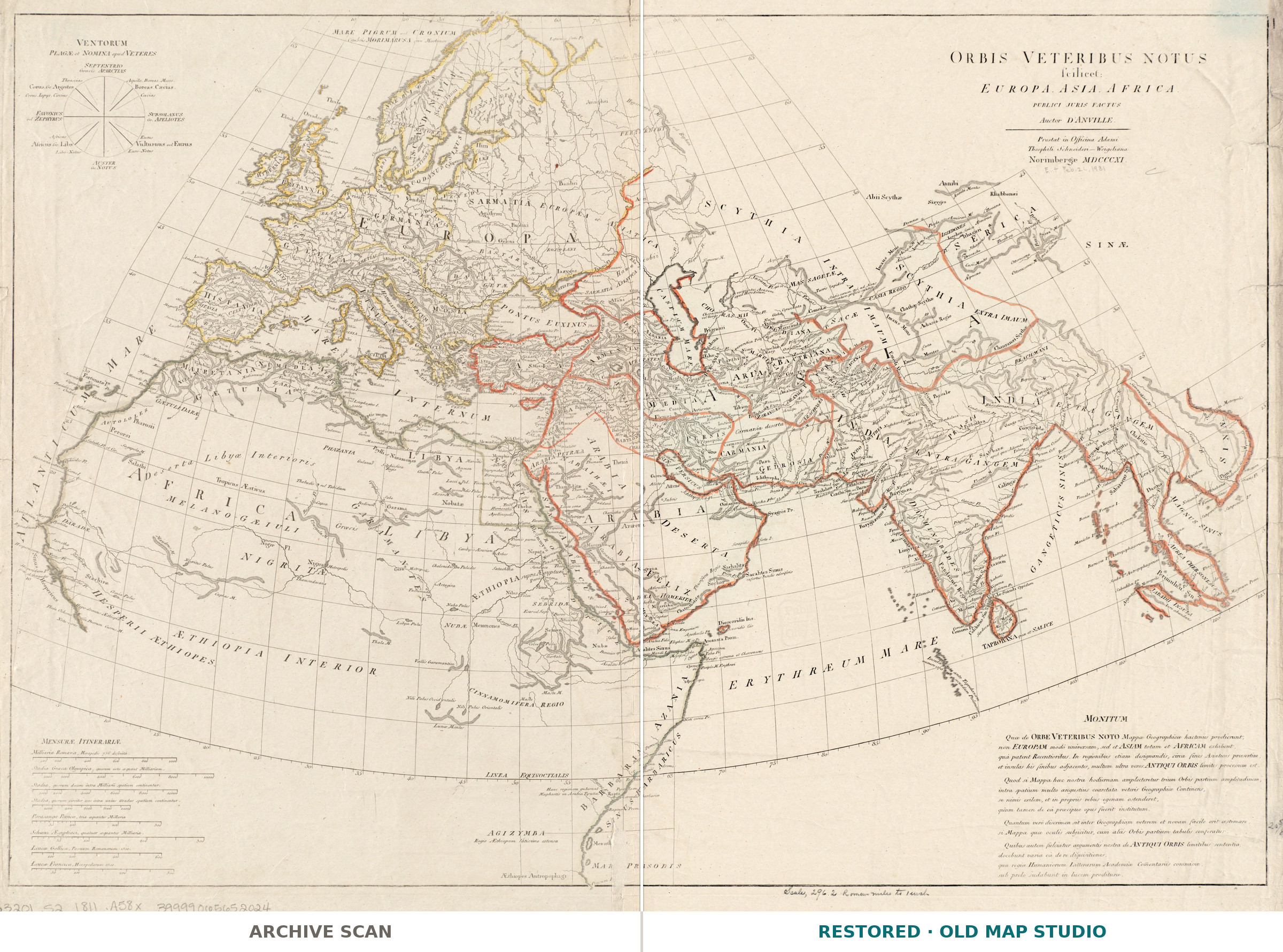
This is not a map of the world in 1811. It is the world the ancients knew — Orbis veteribus notus — drawn by Jean Baptiste Bourguignon d’Anville (1697–1782), the Paris geographer who, in Britannica’s words, greatly improved the standards of mapmaking. He published it in Paris in 1763 and revised it in 1776. This hand-coloured sheet is the Nuremberg edition of 1811 from the Schneider-Weigel workshop, which had been reissuing d’Anville’s maps of the ancient world since the early 1780s.
A geographer who stopped at the edge
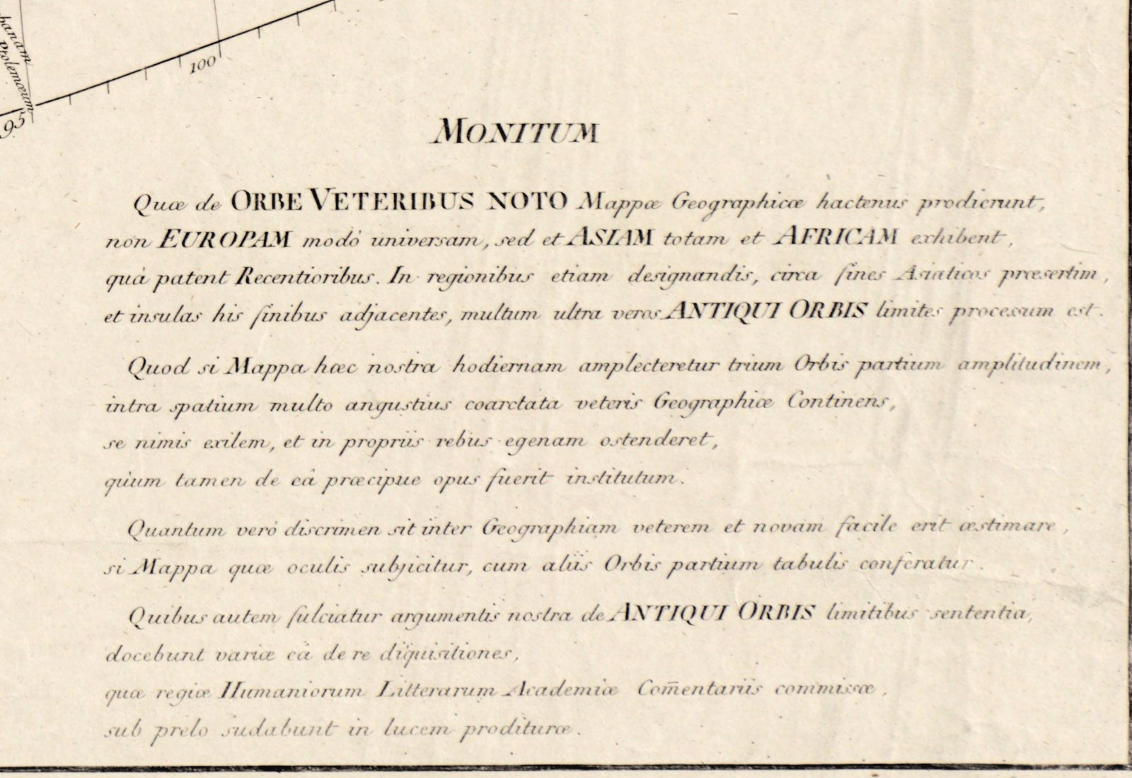
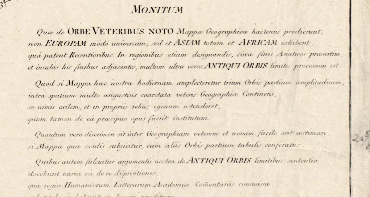
D’Anville went back to the ancient writers themselves instead of copying older maps, and left blank what no source supported. The Latin note in the lower right corner, headed Monitum, puts the idea in his own words: earlier maps of the ancient world had shown all of Europe, Asia and Africa as they are known today, and so went “far beyond the true limits of the ancient world”. His map ends where ancient knowledge ended. Compare it with maps of the same lands today, the note says, and you will easily judge how great the difference between ancient and modern geography is.
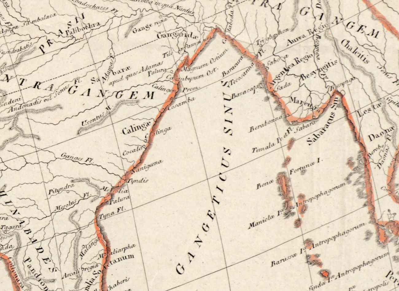
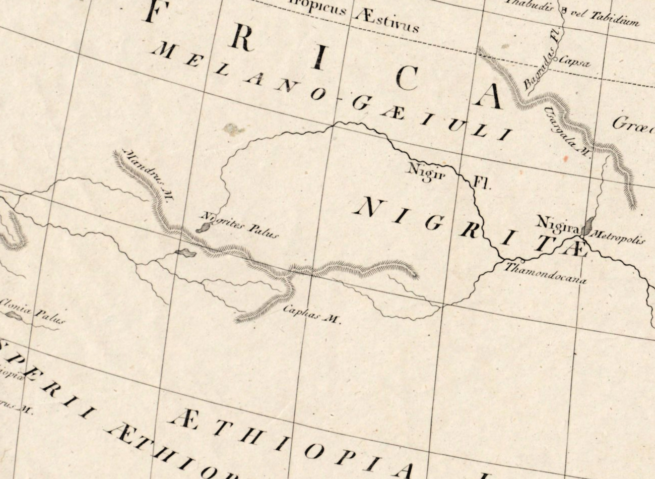
So the edges thin out. The Sinae and Serica, the lands of the Chinese and of silk, sit at the eastern rim; Thule is a small island beyond the Orcades, the Orkneys; south of the Mountains of the Moon, Africa is almost empty paper.
What to look for on the sheet
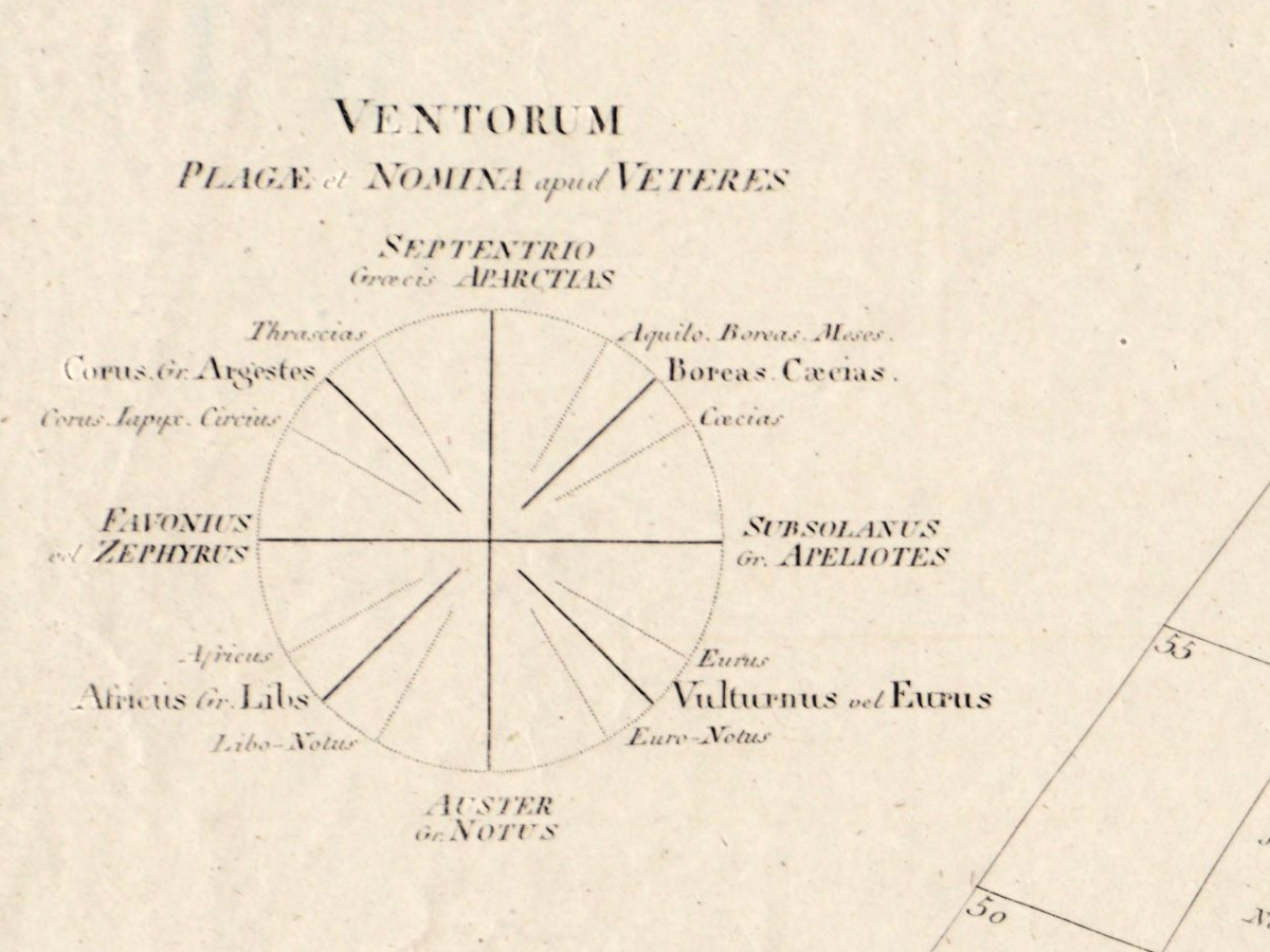
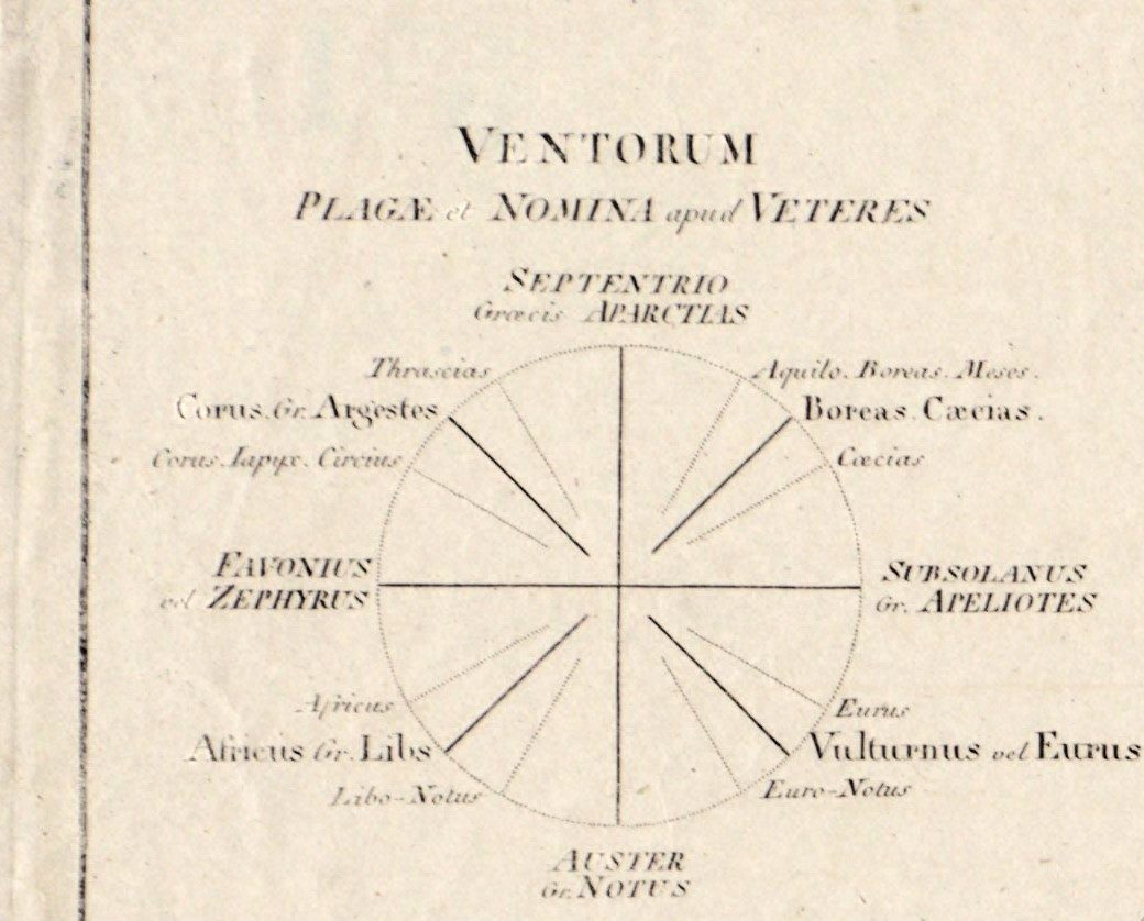
- Upper left: Ventorum plagae et nomina apud veteres, the winds and their names among the ancients — Septentrio, in Greek Aparctias, from the north; Auster or Notus from the south; Favonius or Zephyrus from the west; Subsolanus or Apeliotes from the east, with the winds between them.
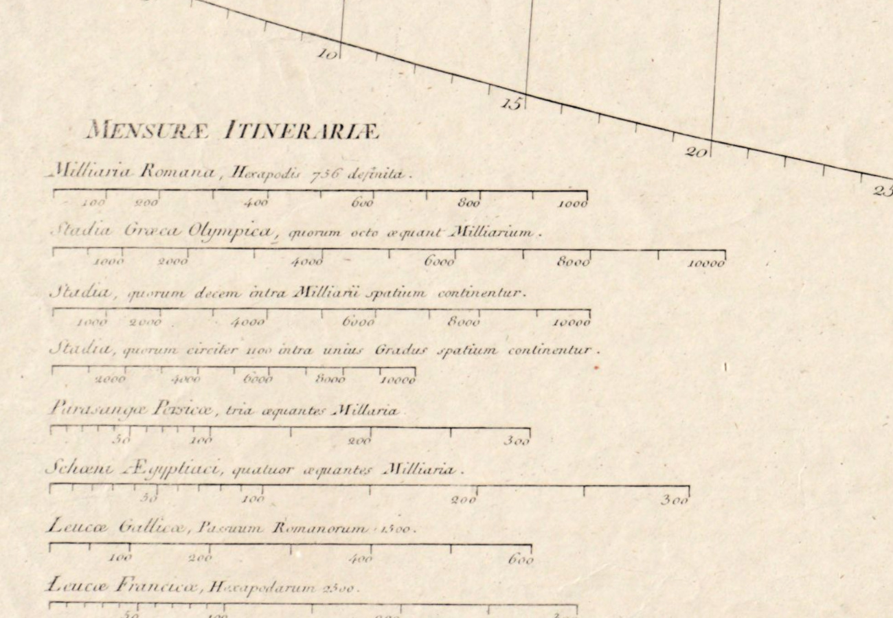
- Lower left: Mensurae itinerariae, eight scales of ancient distance — Roman miles, three kinds of Greek stadia, Persian parasangs worth three miles, Egyptian schoeni worth four, Gallic and French leagues.
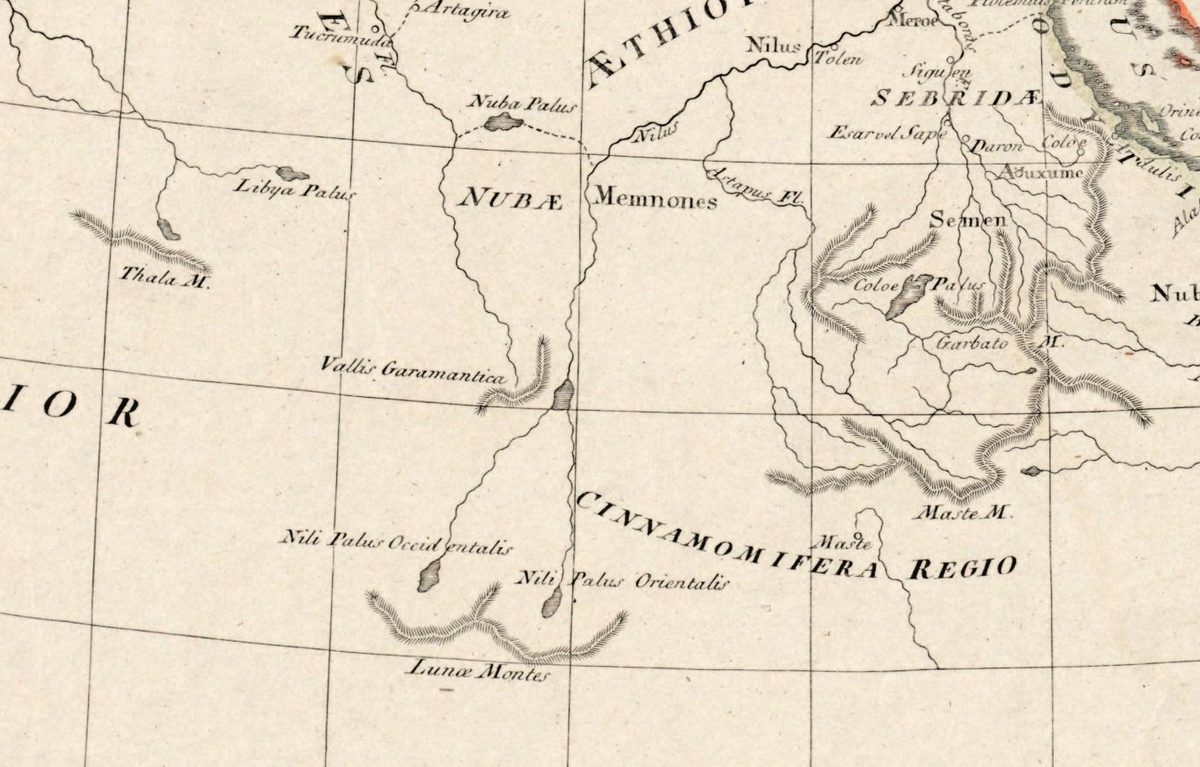
- The Nile rising from two lakes, Nili Palus Occidentalis and Orientalis, below the Lunae Montes, the Mountains of the Moon — Ptolemy’s answer to where the river begins.
- Taprobana, the ancient name of Sri Lanka, south of India; Cinnamomifera Regio, the cinnamon country, on the coast of East Africa.
- Longitude counted from Ferro, the island of El Hierro in the Canaries, which French and many other European geographers then used as their prime meridian.
The design travelled: Laurie & Whittle reissued it in London in 1794, and small copies engraved in New York around 1814 and in London in 1821 still keep the Ferro meridian and the wind diagram. The pencil notes at the top right and along the bottom were added by the library and are not part of the print.
Your file
| Original | J. B. B. d'Anville, published by the Schneider-Weigel office, Nuremberg, 1811, hand-colored |
| Sheet | 53 × 76 cm |
| Scan | 6937 × 4928 px, from the library's own scan, not an upscale |
| Print size at 300 dpi | the map prints to 58 cm (23 in), and the full sheet the same: trim and master frames coincide |
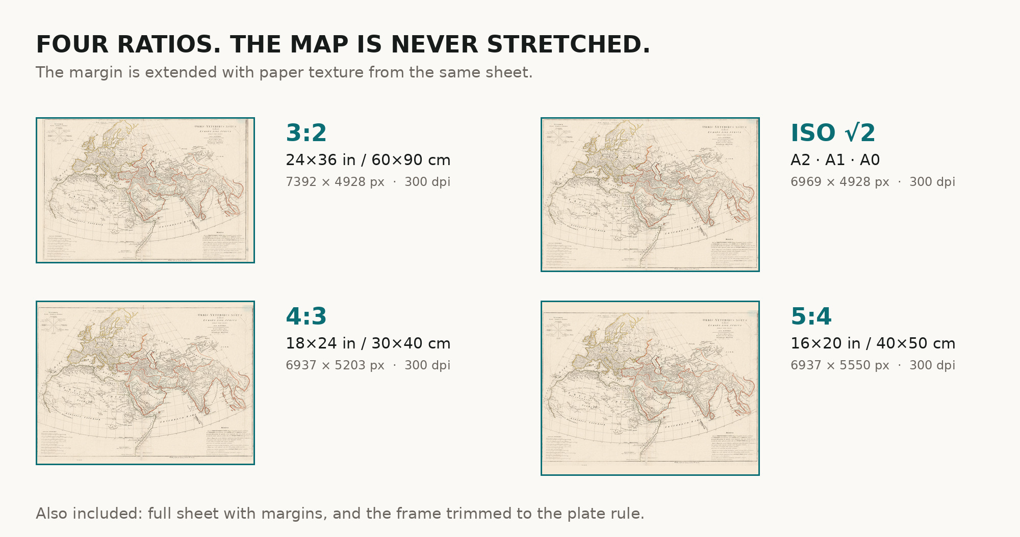
| You download | six ZIP archives: full sheet, trimmed, 3:2, 4:3, 5:4 and ISO A |
| Inside each one | one JPEG at 300 dpi, the restoration passport as a PDF, a READ ME |
How to print
- Print at 300 dpi at the size above and do not let the shop scale the file up.
- Pick the archive whose proportions match your frame.
- Where to print it: print shops near you and checked prices at online labs.
Source and rights
Boston Public Library, Norman B. Leventhal Map & Education Center, shelfmark G3201.S2 1811 .A58x. No known restrictions on use, and the library is named in the passport inside every archive. Catalogue record: Leventhal Map & Education Center →
Features
- Latin
Attachments
Reviews
No reviews found
See also
-
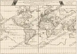
 Antique World Map 1677 — Duval, Carte Vniverselle du Commerce
-
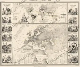
Antique World Map 1848 — Johnston, Zoological Geography
-
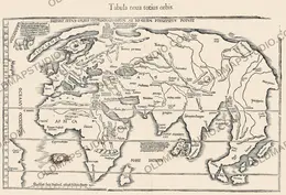
Antique World Map 1541 — Fries, Tabula Noua Totius Orbis
-
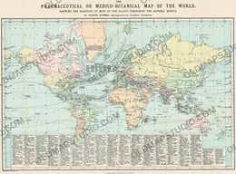
Antique World Map 1870 — Barber, Pharmaceutical Map
-
Antique World Map c. 1750 — Izobrazhenie Zemnogo Globusa
-
Antique World Map 1800 — Wallis, A New Map of the World