Antique World Map 1810 — Sherwood, Neely and Jones
Description
An old world map of 1810, dated to the day
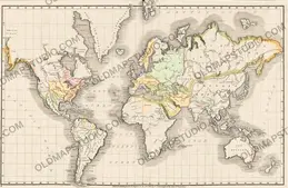
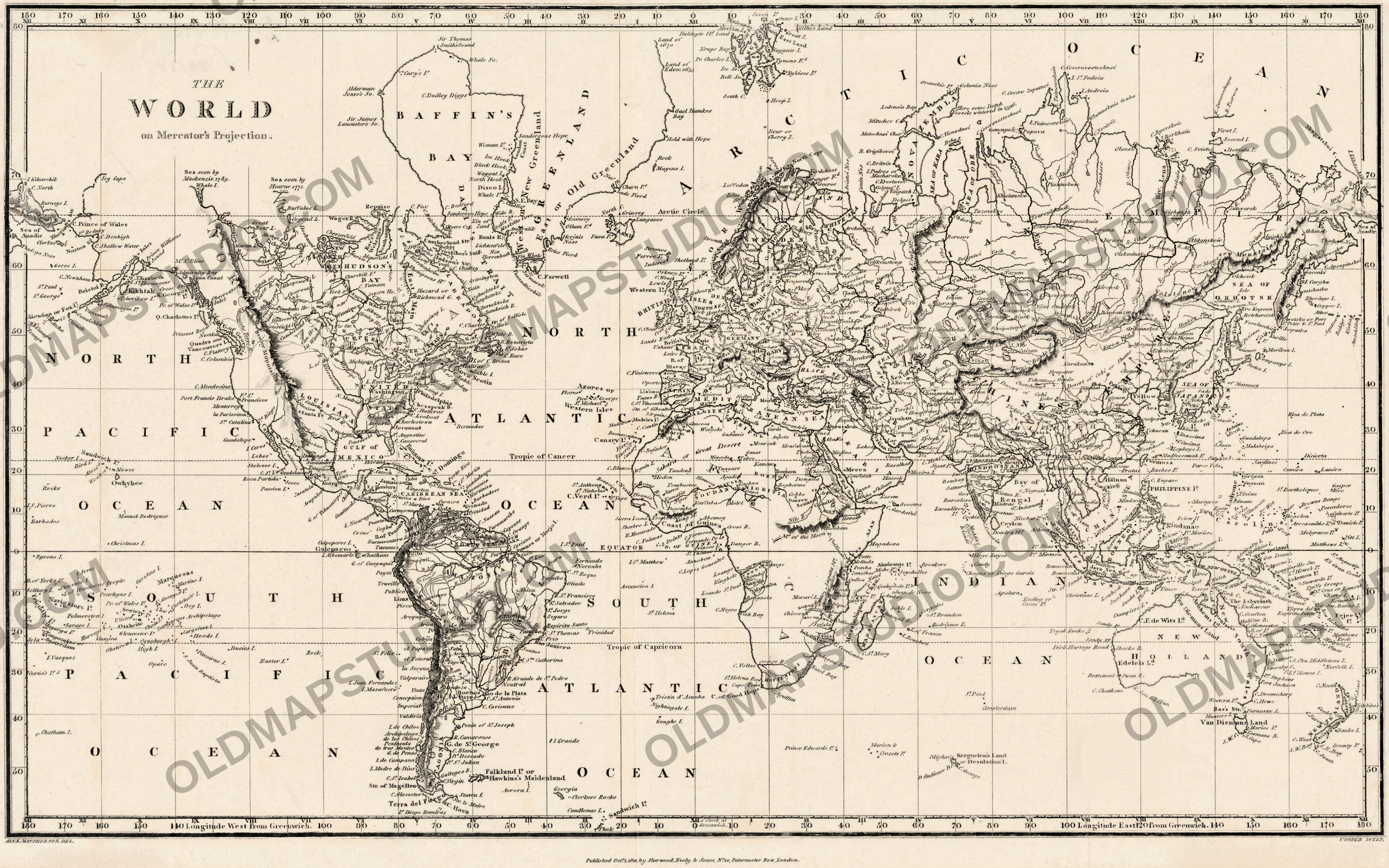
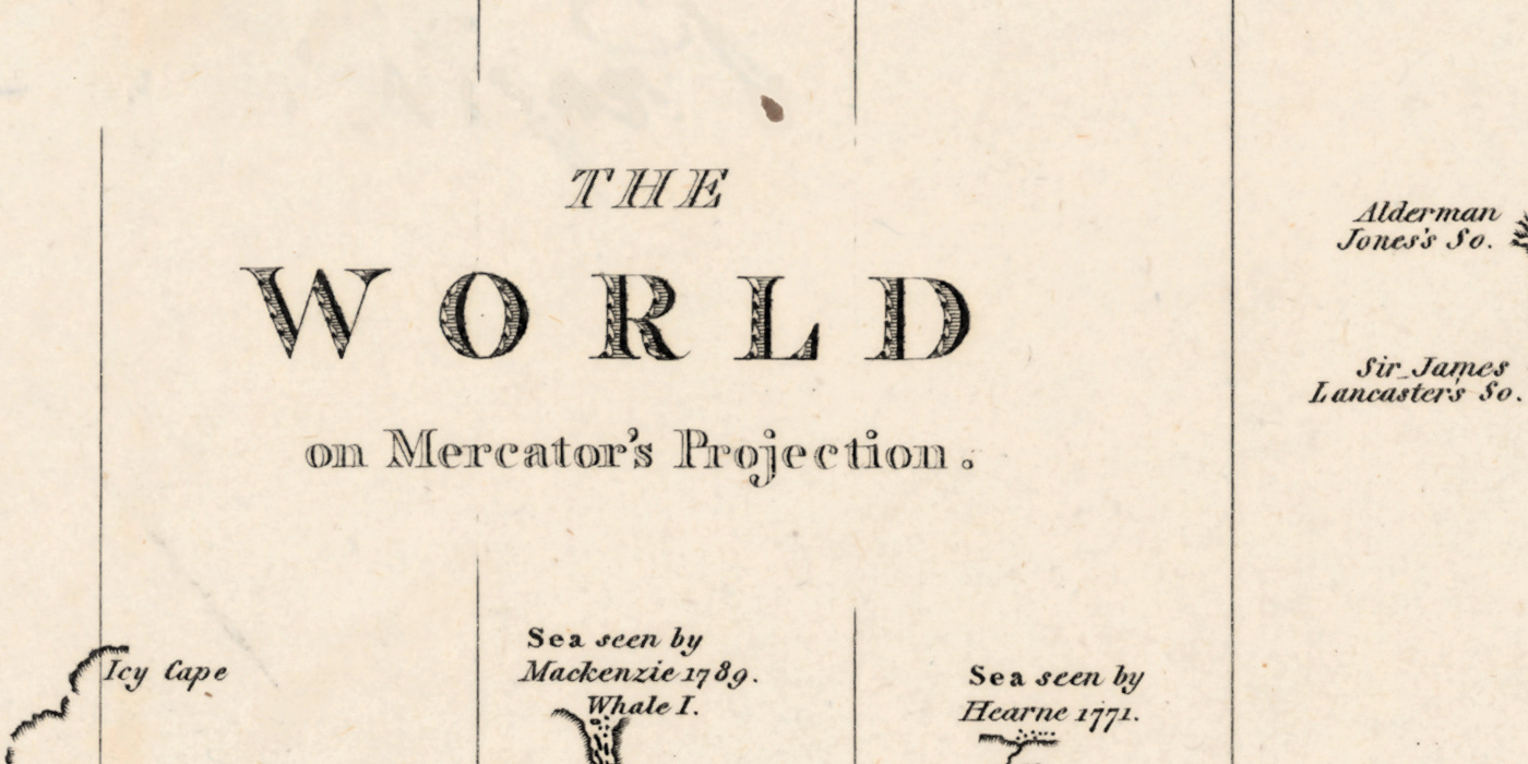
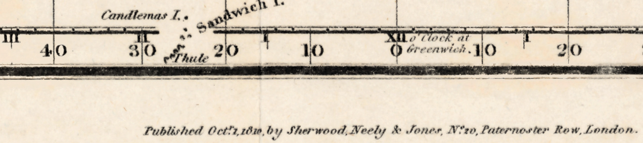
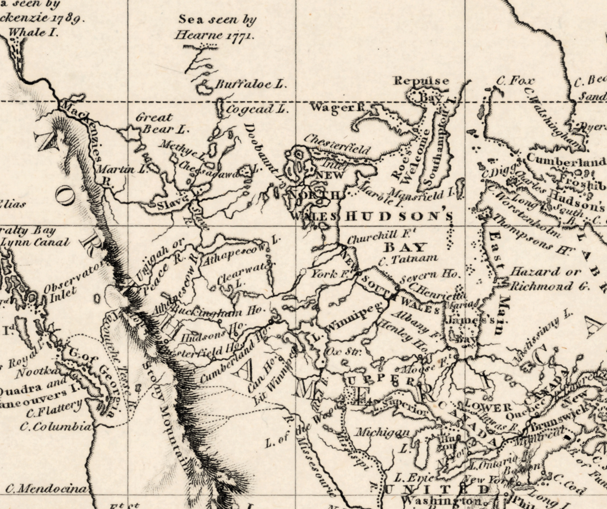
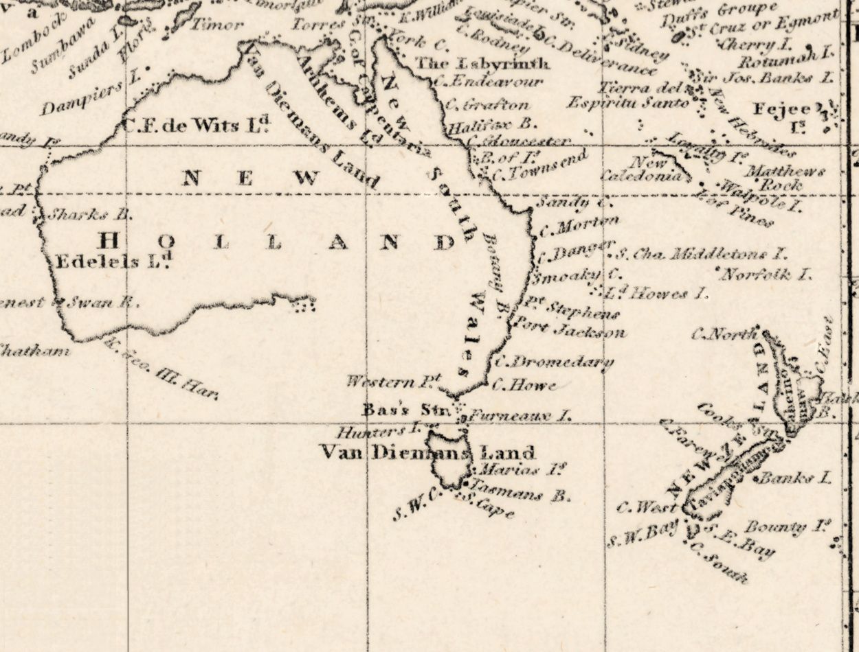
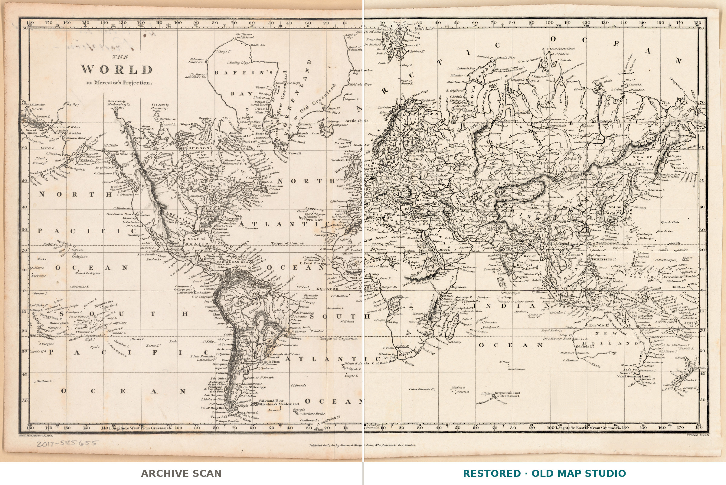
Sherwood, Neely and Jones published this sheet in London on the first of October 1810, and the imprint gives the day, not just the year. It is an old Mercator map in the plainest sense: the title names the projection, and the Library of Congress record adds only that relief is shown by hachures. On 25 by 41 cm this was a working map, not a display piece, and we have not dressed it up: the record names no engraver, no coloring and no atlas, so neither do we.
Your file
| Original | Published by Sherwood, Neely and Jones, London, 1 October 1810 |
| Sheet | 25 × 41 cm |
| Scan | full sheet 6784 × 4321 px; the map inside the trimmed border 6498 × 4060 px. From the library's own scan, not an upscale |
| Print size at 300 dpi | the map prints to 55 cm (21 in), the full sheet with margins to 57 cm (22 in) |
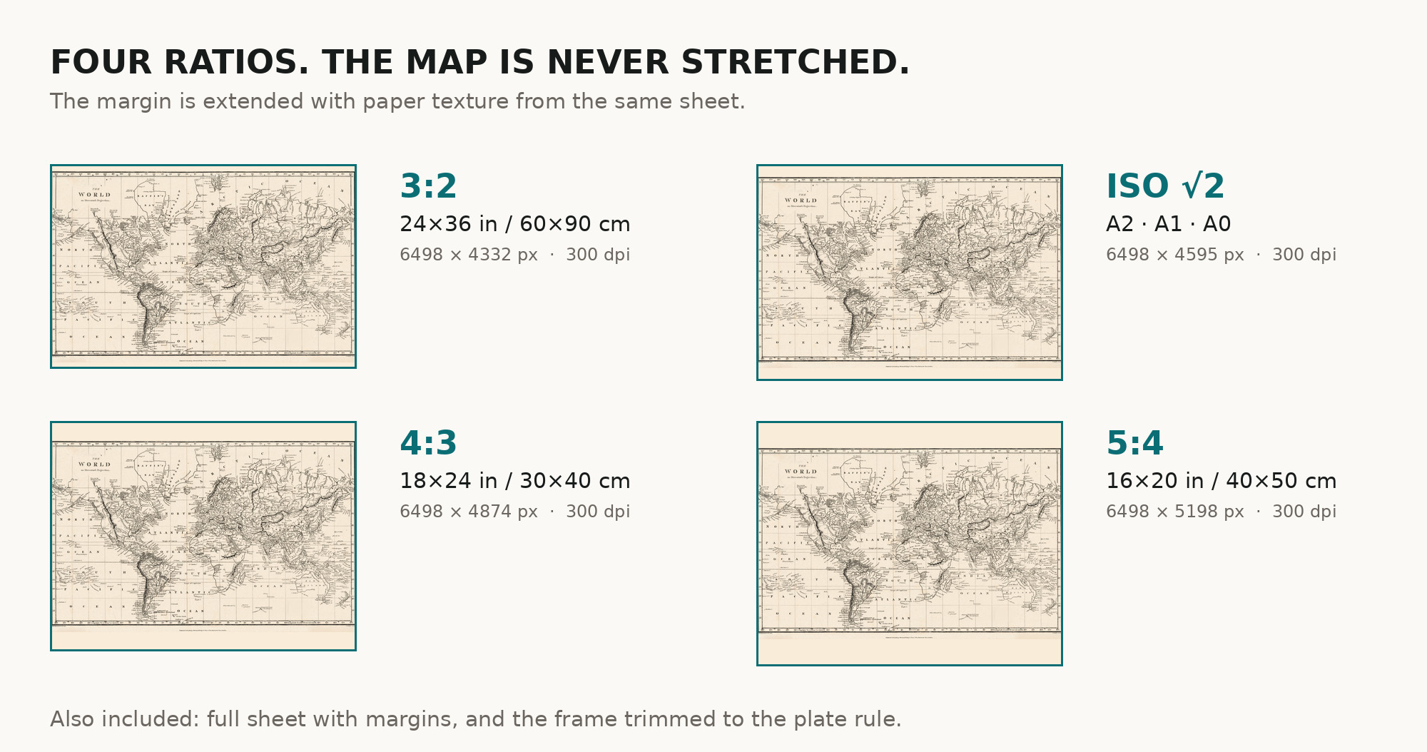
| You download | six ZIP archives: full sheet, trimmed, 3:2, 4:3, 5:4 and ISO A |
| Inside each one | one JPEG at 300 dpi, the restoration passport as a PDF, a READ ME |
How to print
- Pick the archive whose proportions match your frame, so nothing is cropped or stretched.
- Ask for matte fine-art paper, printed in sRGB with auto-enhancement off.
- Where to print it: print shops near you and checked prices at online labs.
Source and rights
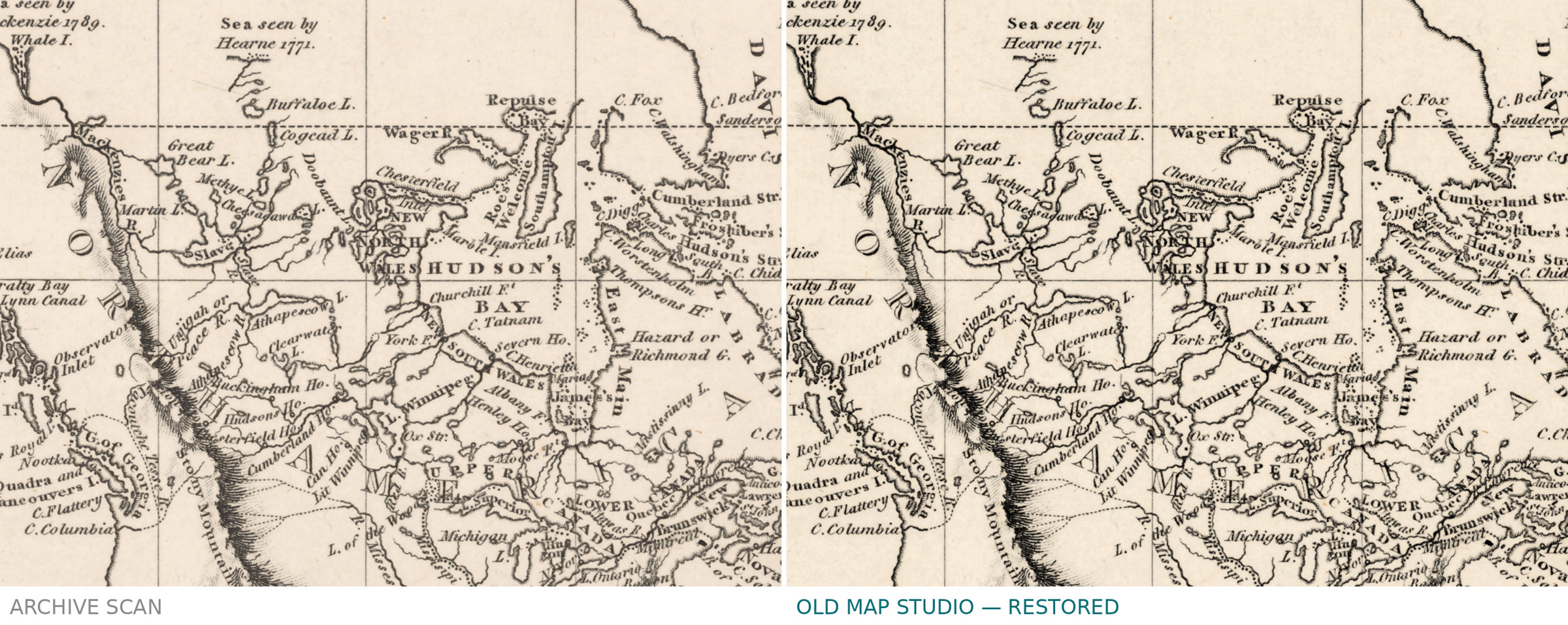
Library of Congress, Geography and Map Division, call number G3200 1810 .S4, LCCN 2017585655. The Library states the content is free to use and reuse, crediting the division. This sheet needed more work than most, and the passport in every archive names all of it: a stamp dated 31 May 1934 lay across the engraving in the South Pacific and was lifted, the graticule line it broke was drawn again from the profile of the same line, and writing showing through from the back was patched between the meridians. There is no TIFF master in the package. Catalogue record: Library of Congress →
Features
- English
Attachments
Reviews
No reviews found
See also
-
 Antique World Map 1744 — Le Rouge, Mappe Monde Nouvelle
-
Antique World Map 1752 — Robert de Vaugondy, Orbis Vetus
-
Antique World Map c. 1739 — Delisle, Hemisphere Meridional
-
Antique World Map 1839 — Willard, Universal History
-
Antique World Map c. 1740 — Delisle, Hemisphere Septentrional
-
Antique World Map 1850 — Burr, Mercator's Projection