Old World Map — Mappemonde de Leipzig, Jomard's Monuments
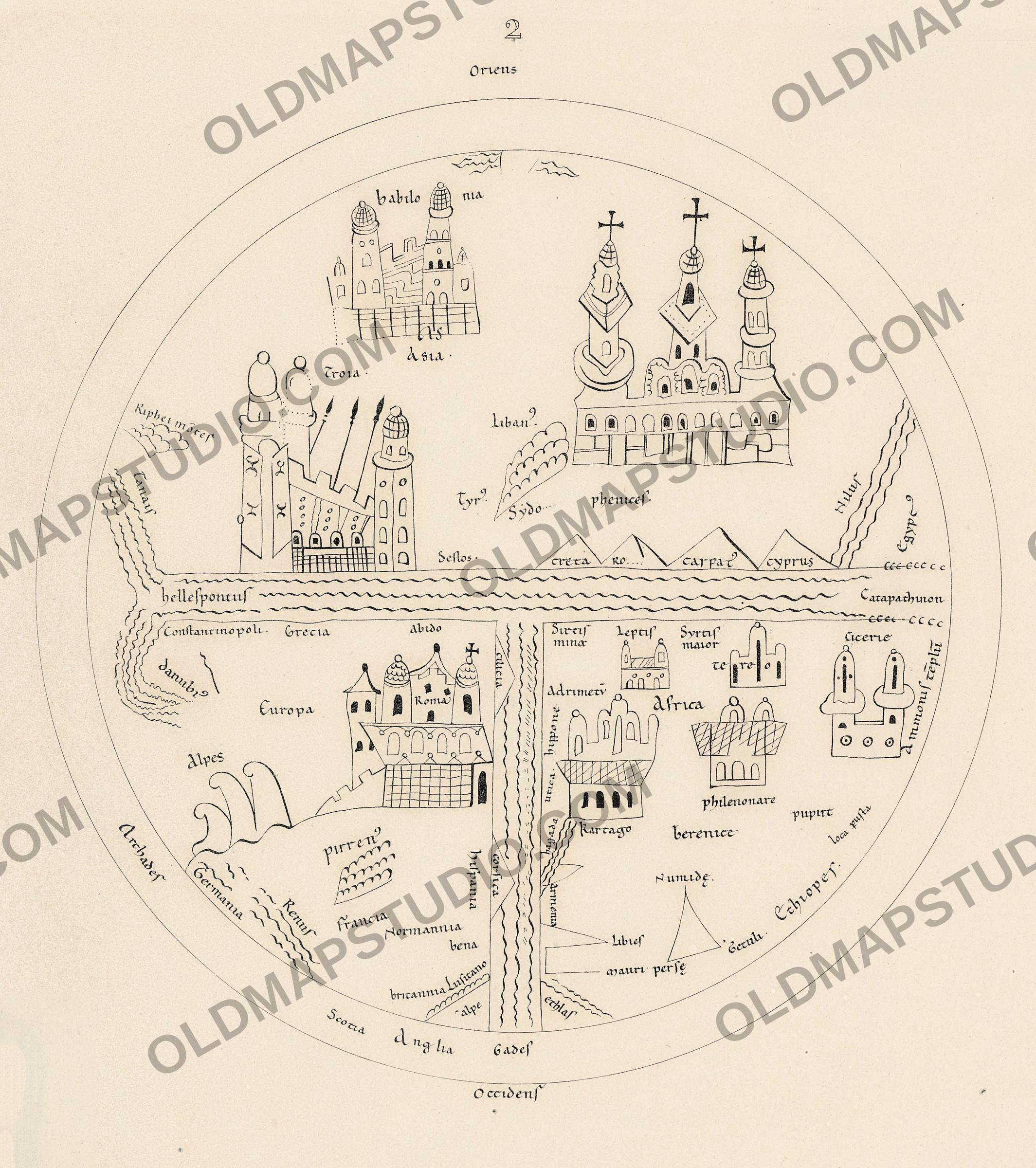
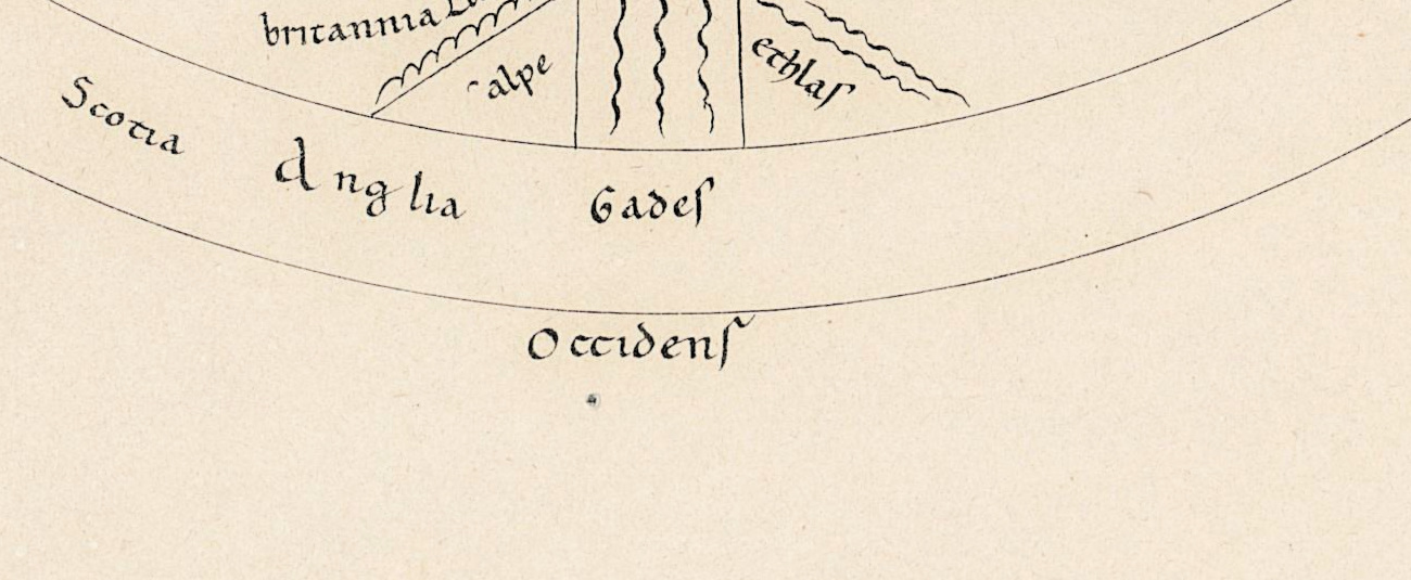
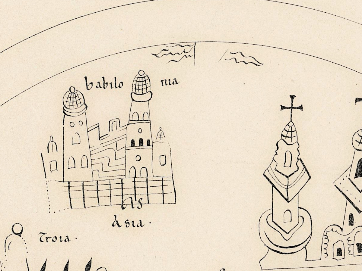
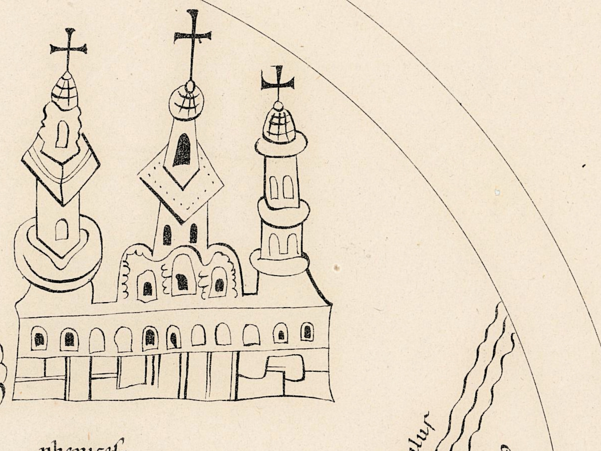
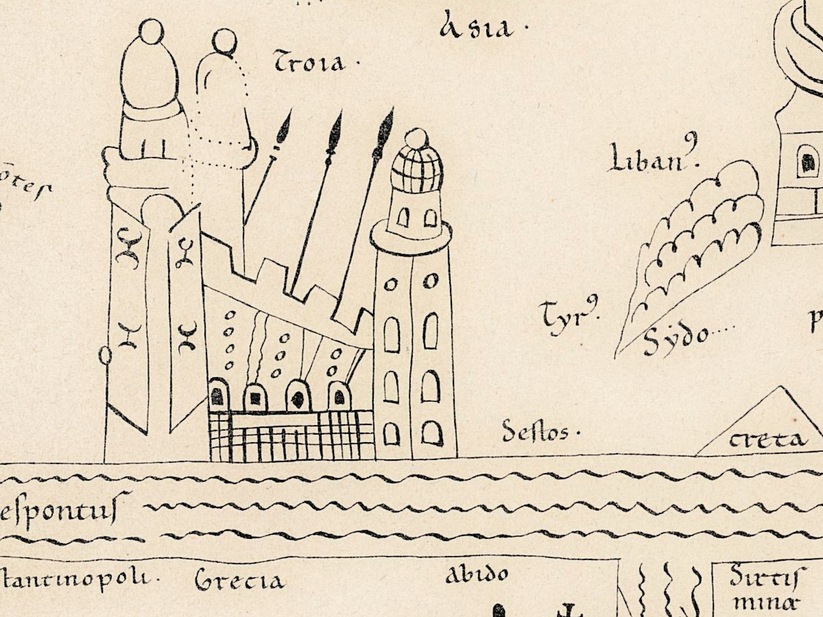
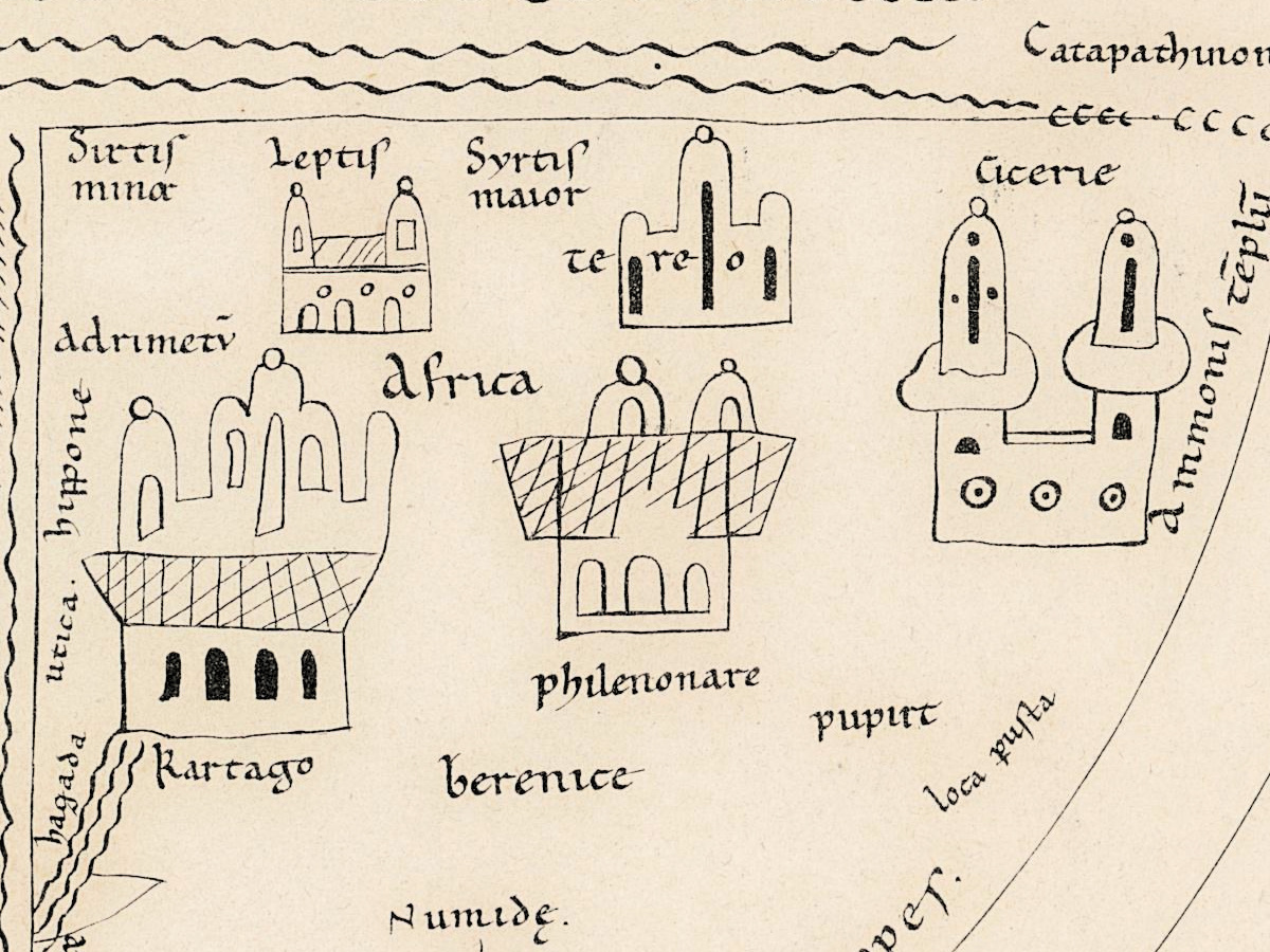
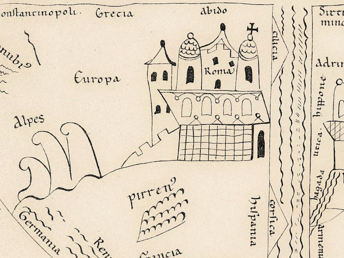
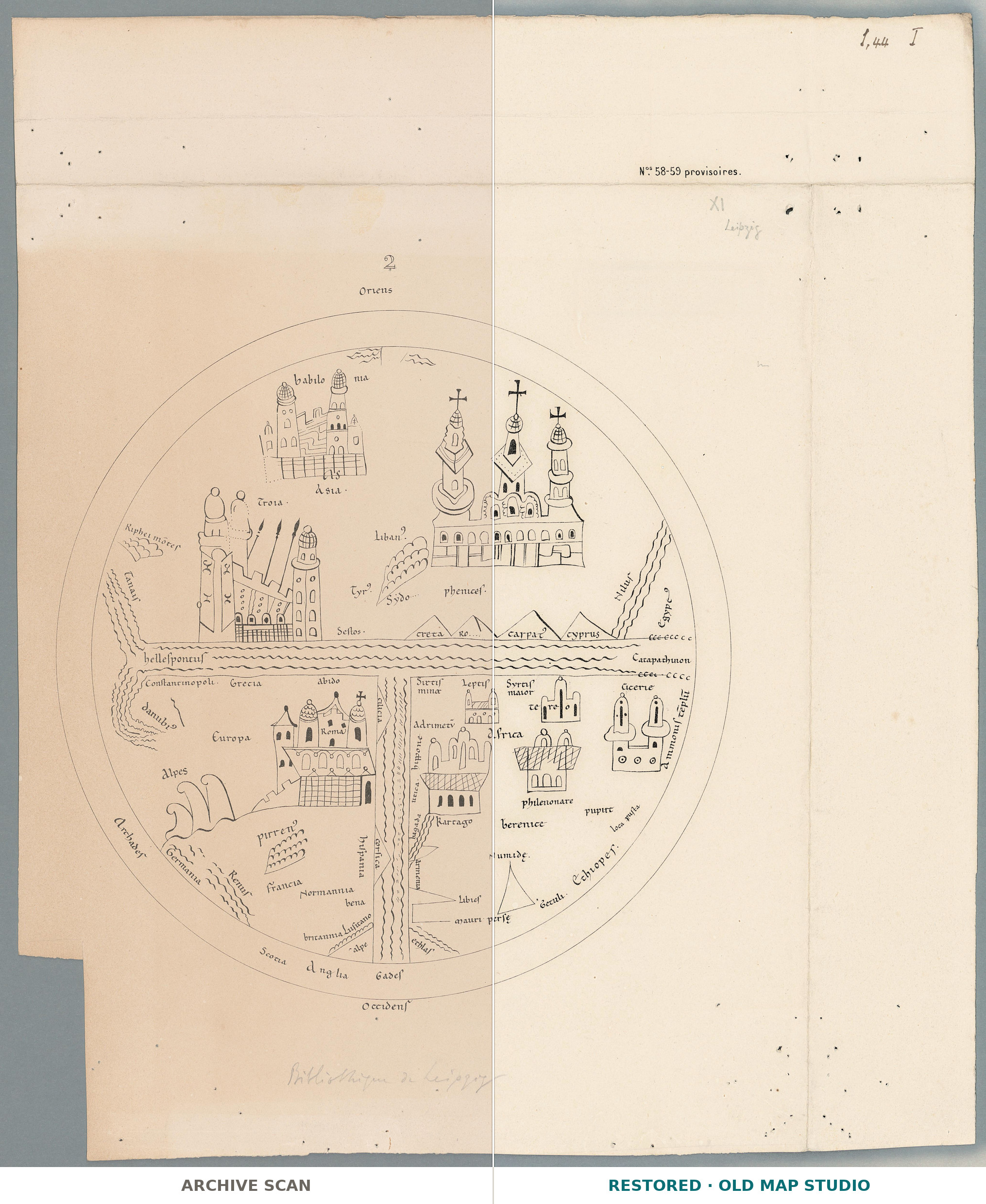
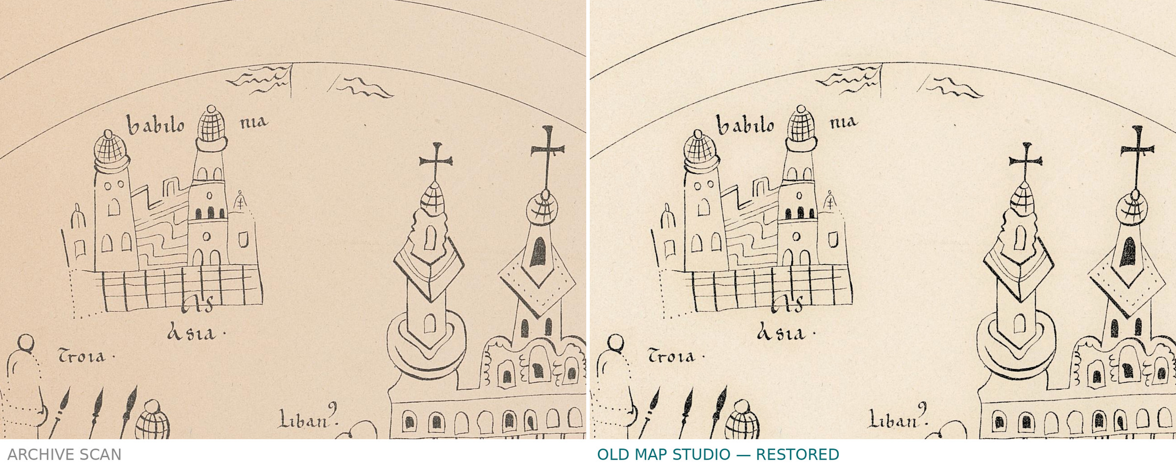
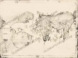
An old world map: the Leipzig mappemonde, from Jomard's atlas
A plate of Edme-François Jomard's Monuments de la géographie ou Recueil d'anciennes cartes européennes et orientales — his collection of old European and oriental maps, reproduced as plates. The library catalogs this one as [Mappemonde de Leipzig], in square brackets: the name is supplied by the catalog.
The record gives 1800 as the date of publication. We repeat it as given and add no dating of our own, neither for the plate nor for the map it reproduces. The record does not state the technique, the coloring, the scale or the size of the sheet.
Your file
| Original | plate of Jomard, Monuments de la géographie (13/58-59 in the record's provisional numbering), Bibliothèque de Genève, BGE Musée cartogr. 1/43 |
| Scan | full sheet 4126 × 4879 px; the map inside the trimmed border 3030 × 3415 px |
| Print size at 300 dpi | the map prints to 28 cm (11 in), the full sheet with margins to 41 cm (16 in) |
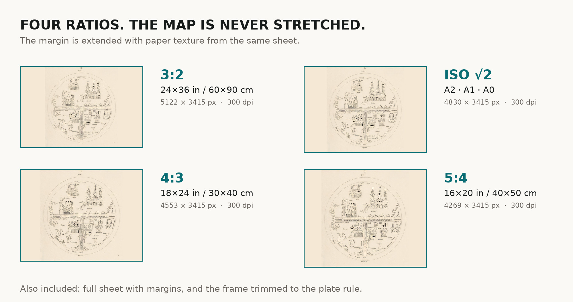
| You download | six ZIP archives: full sheet, trimmed, 3:2, 4:3, 5:4 and ISO A |
| Inside each one | one JPEG at 300 dpi, the restoration passport as a PDF, a READ ME |
How to print
- The sheet is upright. Pick the archive whose proportions match your frame; ask for matte fine-art paper in sRGB with auto-enhancement off.
- Where to print it: print shops near you and checked prices at online labs.
Source and rights
The file is made from the Bibliothèque de Genève scan published on e-rara under the Public Domain Mark. The library asks that reproductions name the author, the place and the DOI: Edme-François Jomard, Bibliothèque de Genève, 10.3931/e-rara-91538. There is no TIFF master in the package. Catalogue record: e-rara (Bibliothèque de Genève) →
No reviews found
See also
-
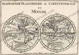
 Antique World Map 1708 — De la Feuille, Mapemonde Planisphere
-
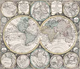
Antique World Map 1740 — Seutter, Diversi Globi Terr-Aquei
-
Antique World Map c. 1508 — Egerton Portolan Atlas, Plate 14
-
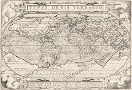
Antique World Map 1579 — Ortelius, Typus Orbis Terrarum
-
Antique World Map 1715 — Renard, Planisphere
-
Antique World Map 1794 — Dunn, A New Map of the World