Antique World Map c. 1850 — Bartholomew, British Empire in One View
Description
An old world map of the British Empire, 1850s
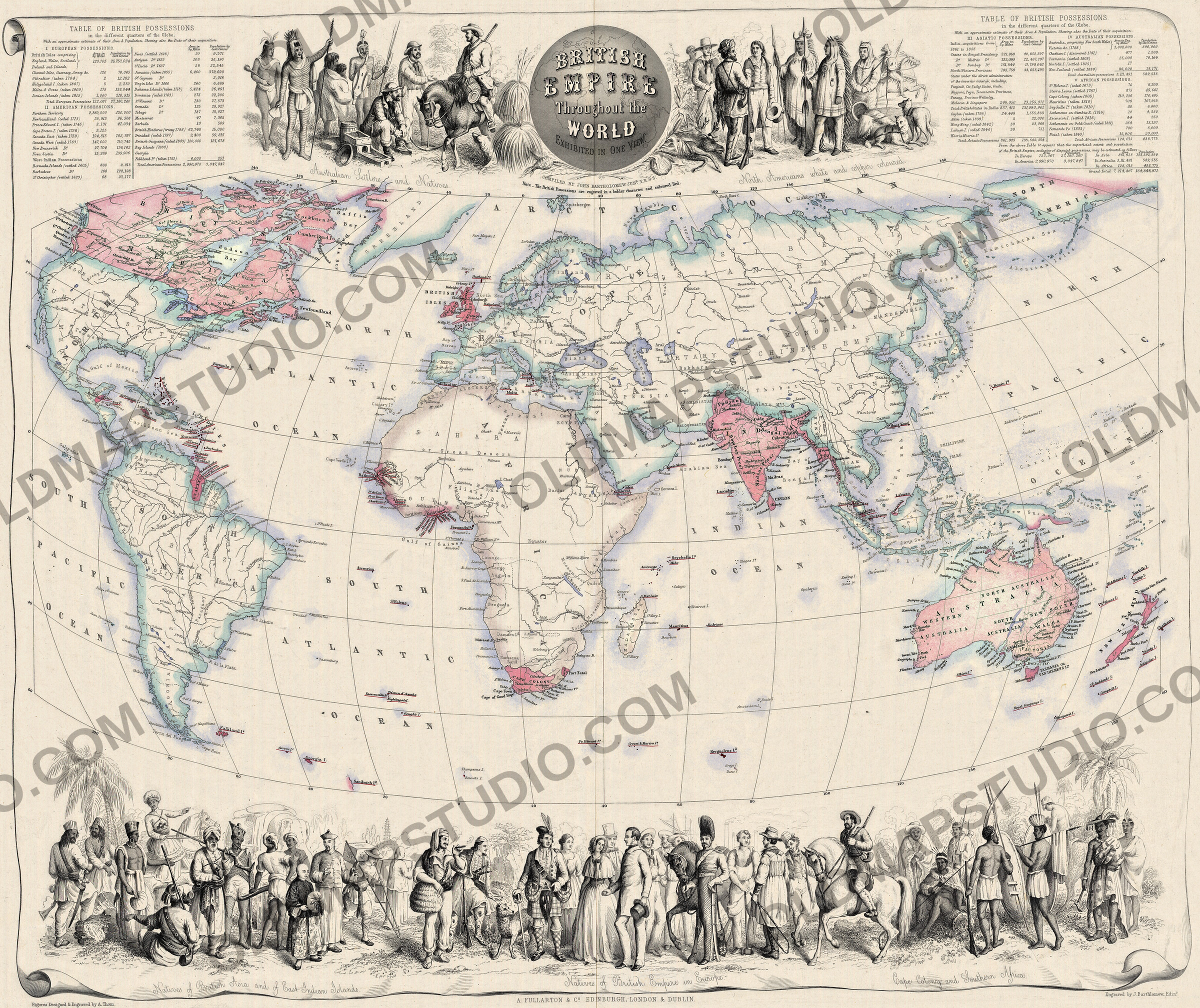
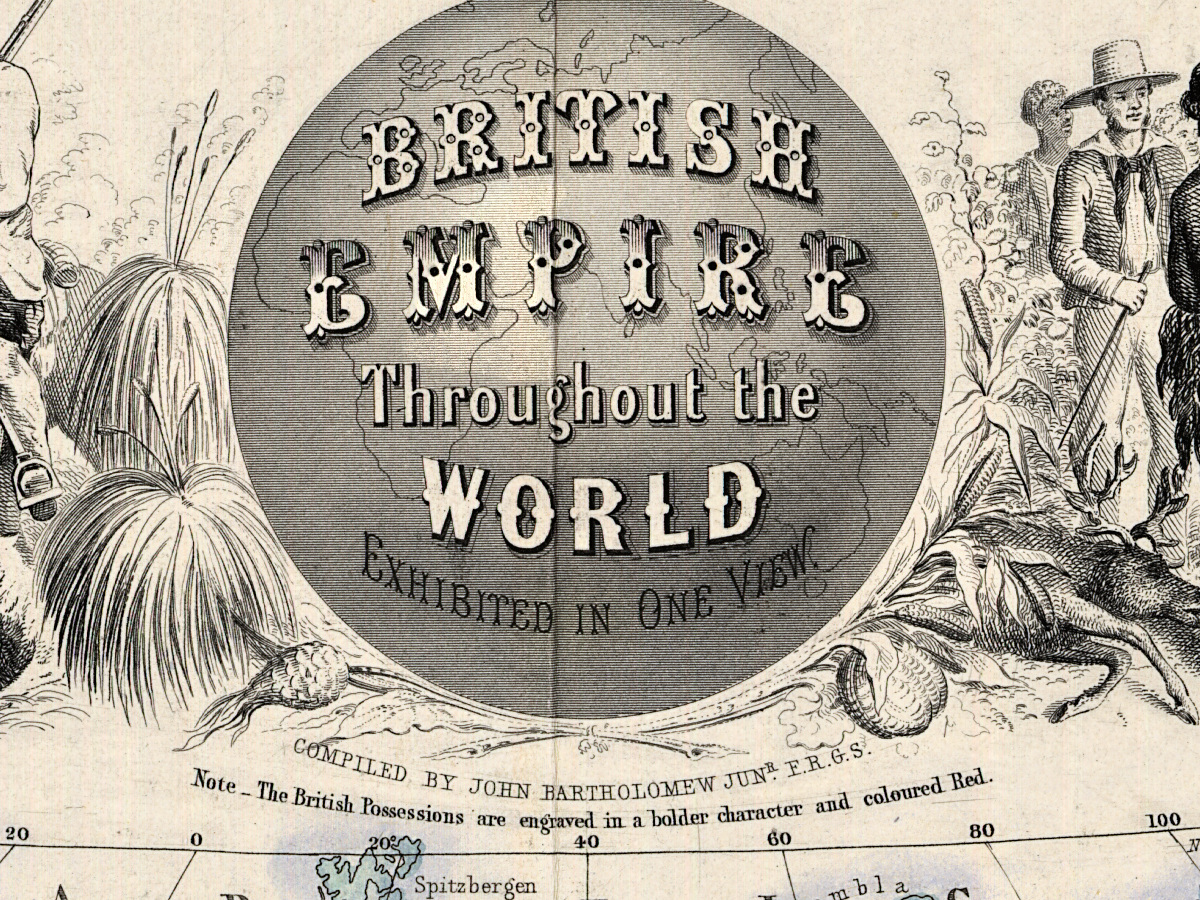
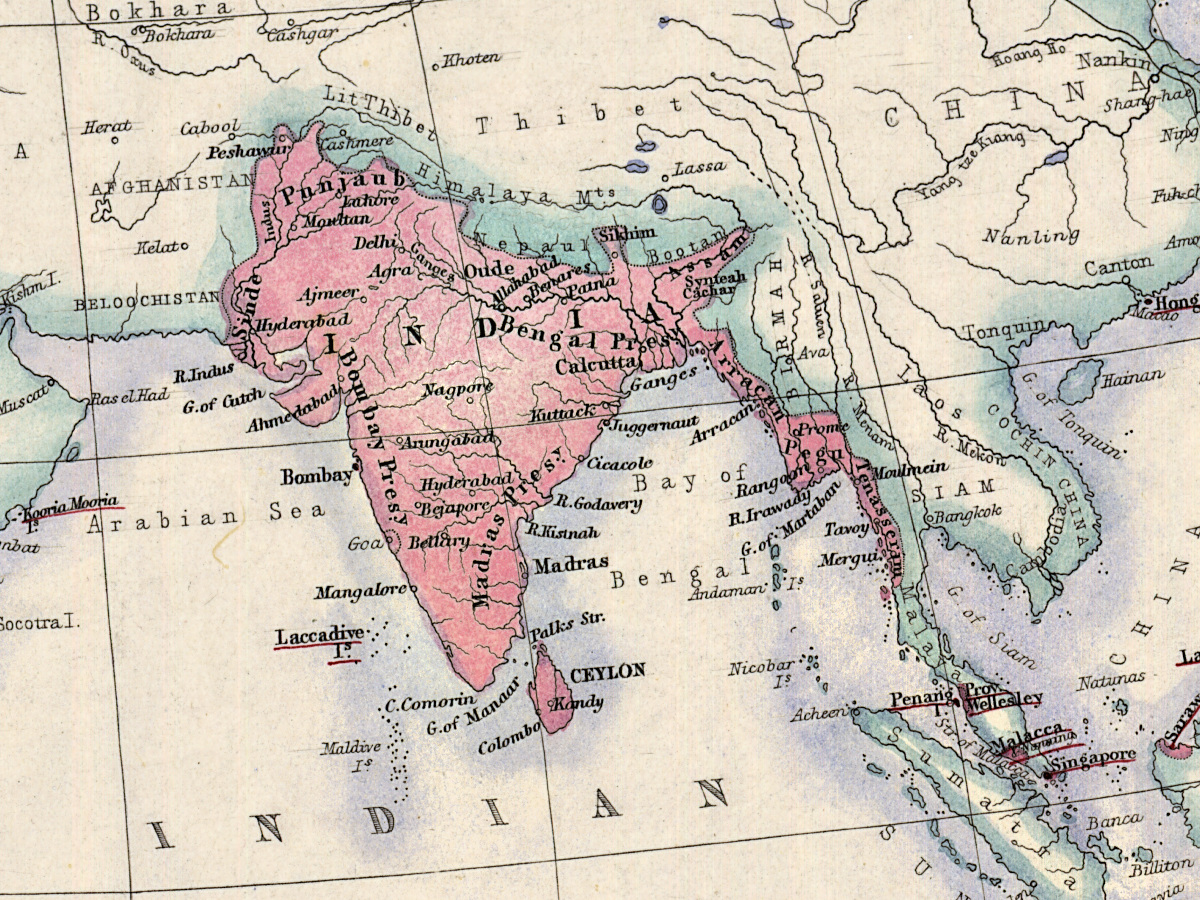
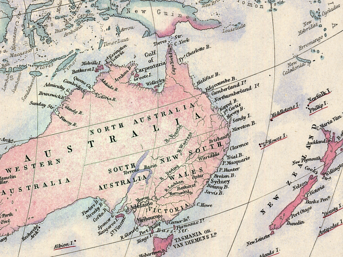
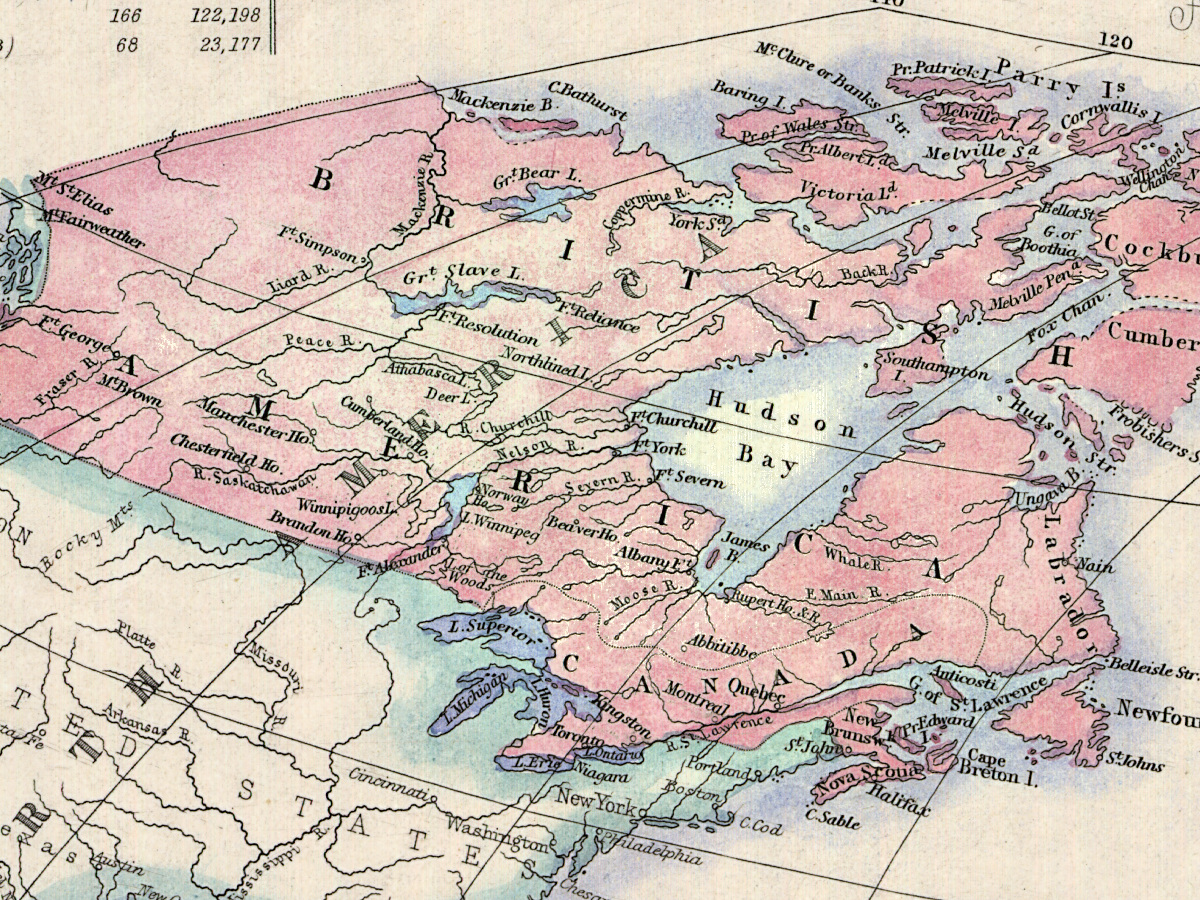
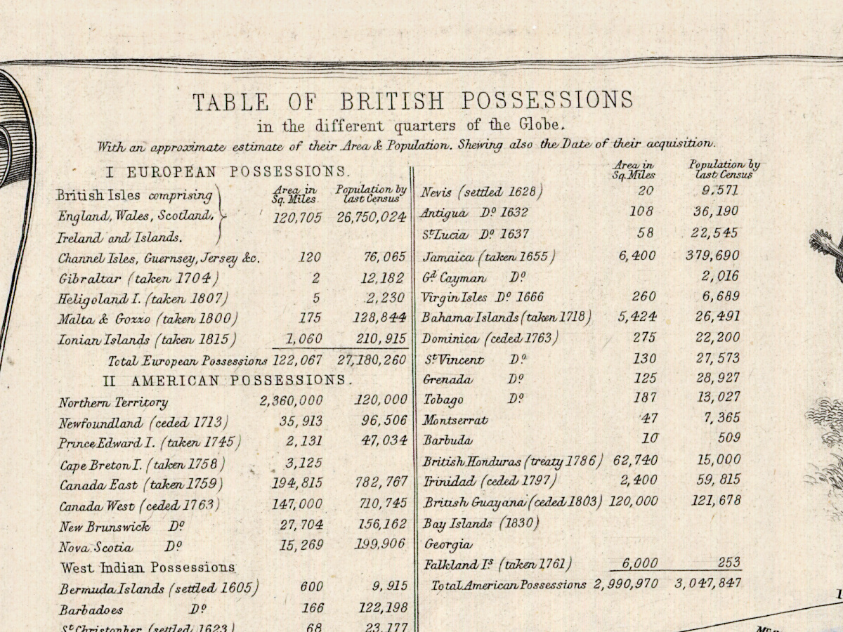
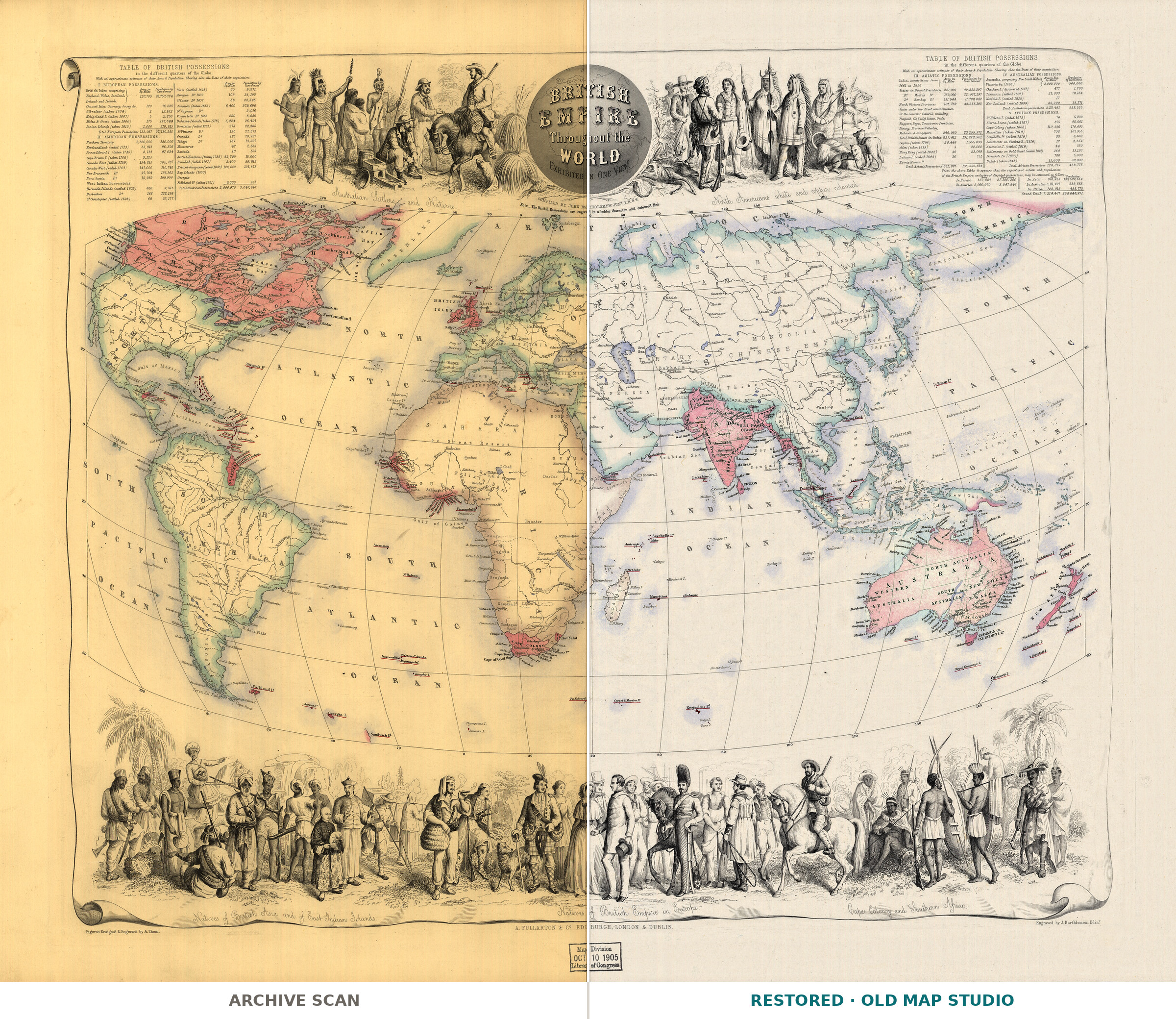
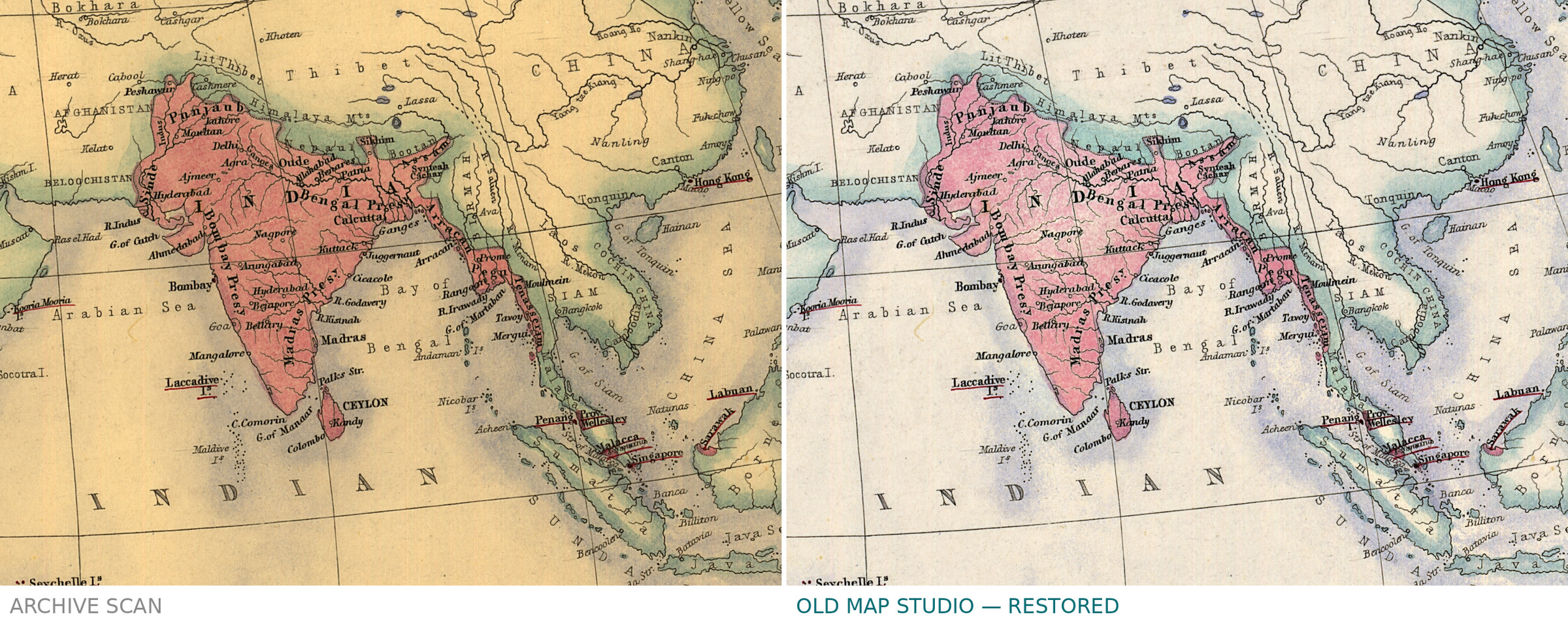
This colored world map sets out the British Empire of the mid-nineteenth century “exhibited in one view”. The Library of Congress catalogs it under the names of John Bartholomew (1831–1893) and the publishers A. Fullarton & Co., and dates it only to the 1850s, as “[185-]”. A note at the top of the sheet explains how to read it: “The British Possessions are engraved in a bolder character and coloured Red.”
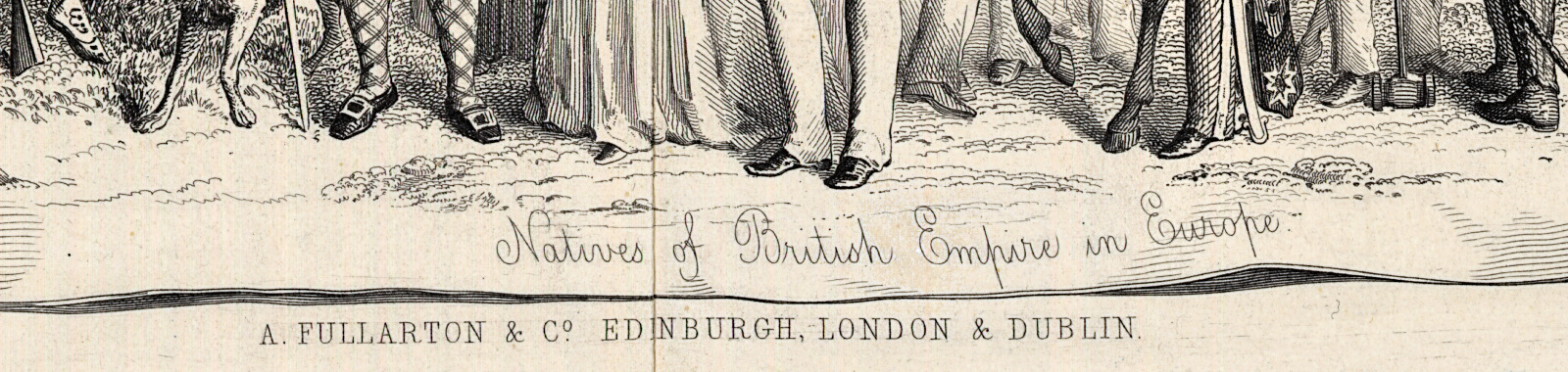
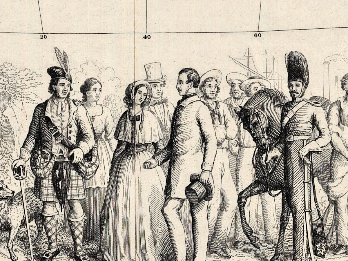
The Library’s description, written for the World Digital Library, introduces John Bartholomew and Co. as an Edinburgh map firm founded by John Bartholomew Sr. and carried on by his son, John Bartholomew Jr. It lists the use of red for British possessions among the innovations attributed to the firm, and says this map probably dates from the 1850s, before contour-layer coloring was used. Around the map, idealized scenes show British colonists meeting the peoples of Australia, North America, British Asia and the East Indian Islands, and the Cape Colony and Southern Africa.
The David Rumsey Map Collection describes another copy of the same title, “Compiled by John Bartholomew Junr. F.R.G.S.”, in an 1872 issue of Fullarton’s Royal Illustrated Atlas of Modern Geography; its note says the atlas first came out in parts between 1854 and 1862.
What to look for on the sheet
- The note at the top that explains the red coloring of the British possessions.
- The British possessions themselves, lettered in a bolder character than the rest of the world.
- The pictorial scenes around the map for Australia, North America, British Asia and the East Indian Islands, and the Cape Colony and Southern Africa.
The Library of Congress keeps the sheet under the call number G5730 185- .B3 TIL; your file is made from its scan.
Your file
| Original | [1850s], Library of Congress, Geography and Map Division, G5730 185- .B3 TIL; colored map |
| Scan | full sheet 6720 × 5608 px; the map inside the trimmed border 6070 × 5100 px |
| Print size at 300 dpi | the map prints to 51 cm (20 in), the full sheet with margins to 56 cm (22 in) |
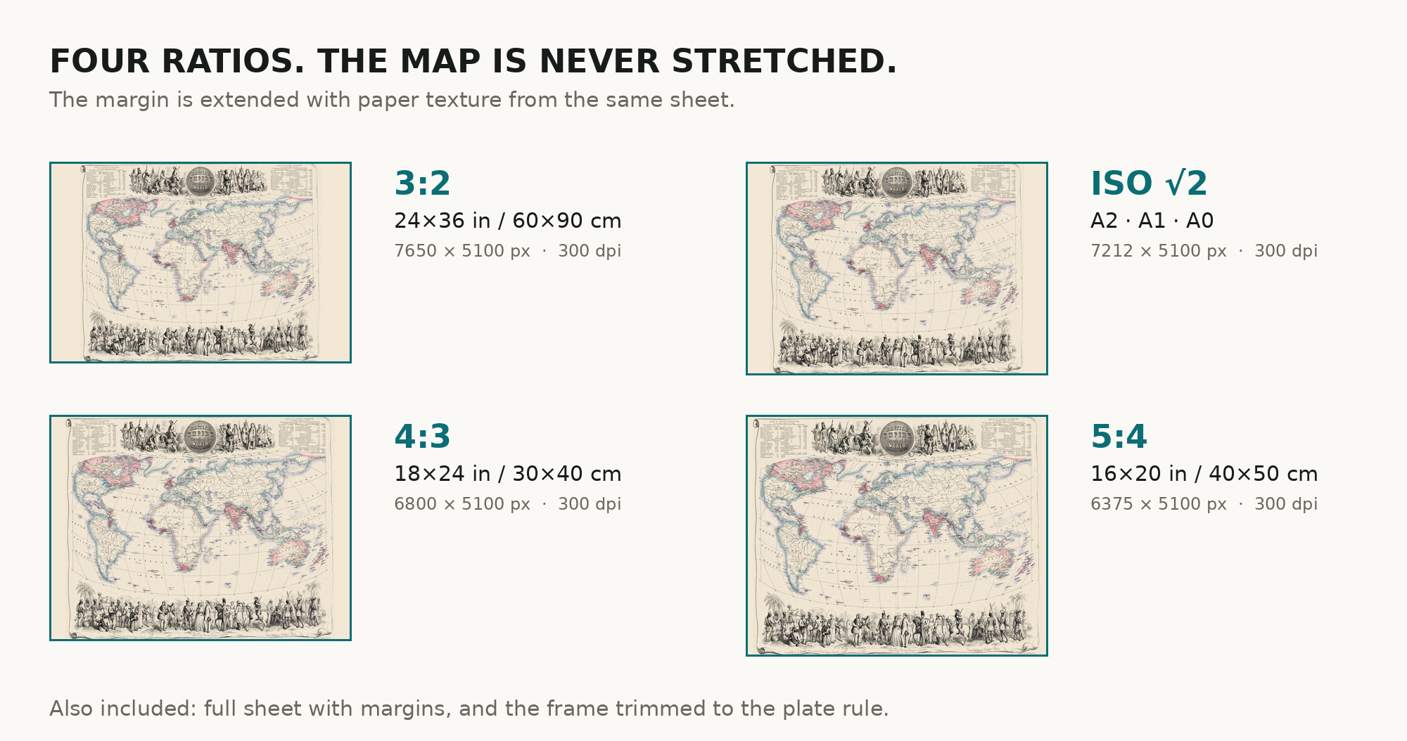
| You download | six ZIP archives: full sheet, trimmed, 3:2, 4:3, 5:4 and ISO A |
| Inside each one | one JPEG at 300 dpi, the restoration passport as a PDF, a READ ME |
How to print
- At 300 dpi the map prints to 51 cm. Pick the archive whose proportions match your frame; ask for matte fine-art paper in sRGB with auto-enhancement off.
- Where to print it: print shops near you and checked prices at online labs.
Source and rights
The file is made from the Library of Congress scan of a sheet in the World Digital Library collection; the Library states that it is unaware of any copyright or other restrictions on that collection. The record describes the map as colored but names neither the printing technique nor the method of coloring, and it gives no place of publication. There is no TIFF master in the package. Catalogue record: Library of Congress →
Features
- English
Attachments
Reviews
No reviews found
See also
-
 Antique Map of America 1570 — Ortelius, Americae sive Novi Orbis
-
Antique World Map 1873 — Vivien de Saint-Martin, Planisphère, Mercator
-
Antique Map of Africa 1570 — Ortelius, Africae Tabula Nova
-
Antique World Map 1598 — Plancius, Wieder Facsimile 1927
-
Antique Map of Asia 1570 — Ortelius, Asiae Nova Descriptio
-
Antique World Map 1848 — Johnston, Botanical Geography