Antique World Map 1826 — Tanner, Terra Veteribus Nota
Description
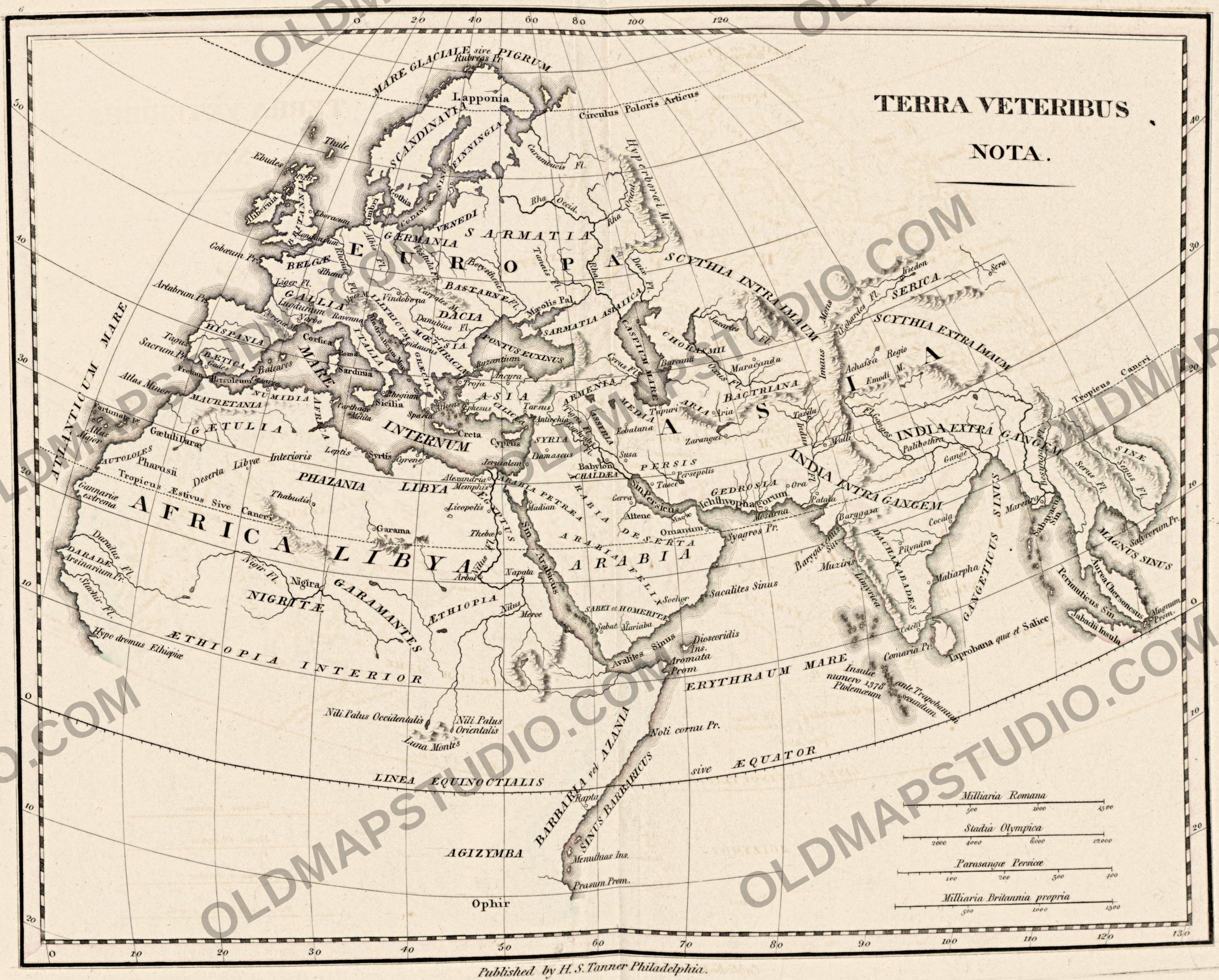
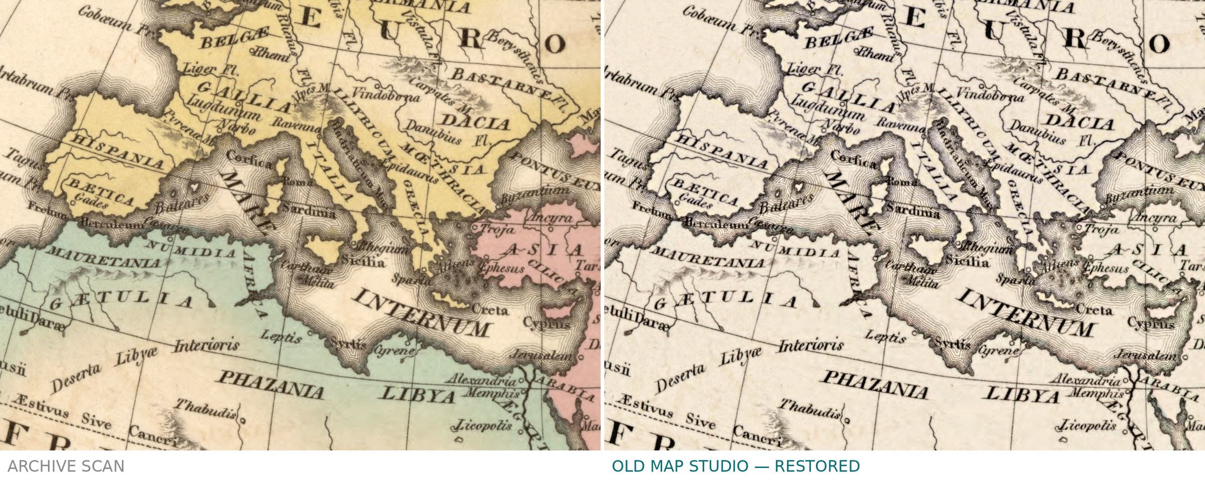
An antique map of the ancient world, Philadelphia, 1826
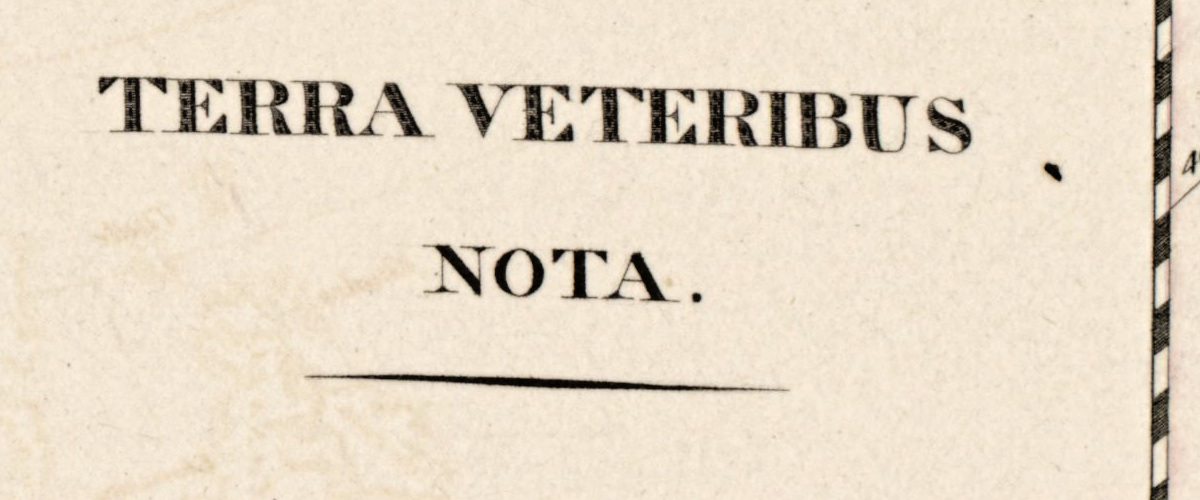
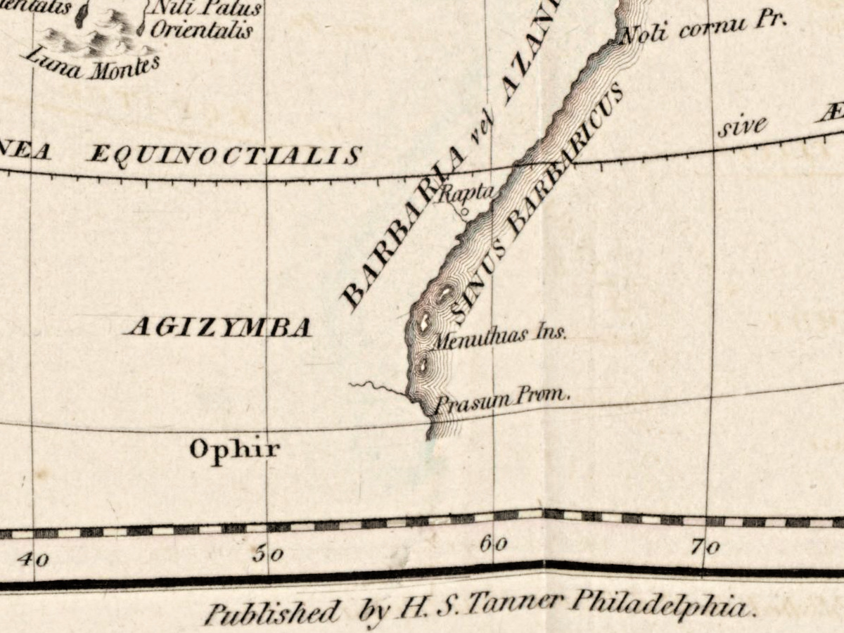
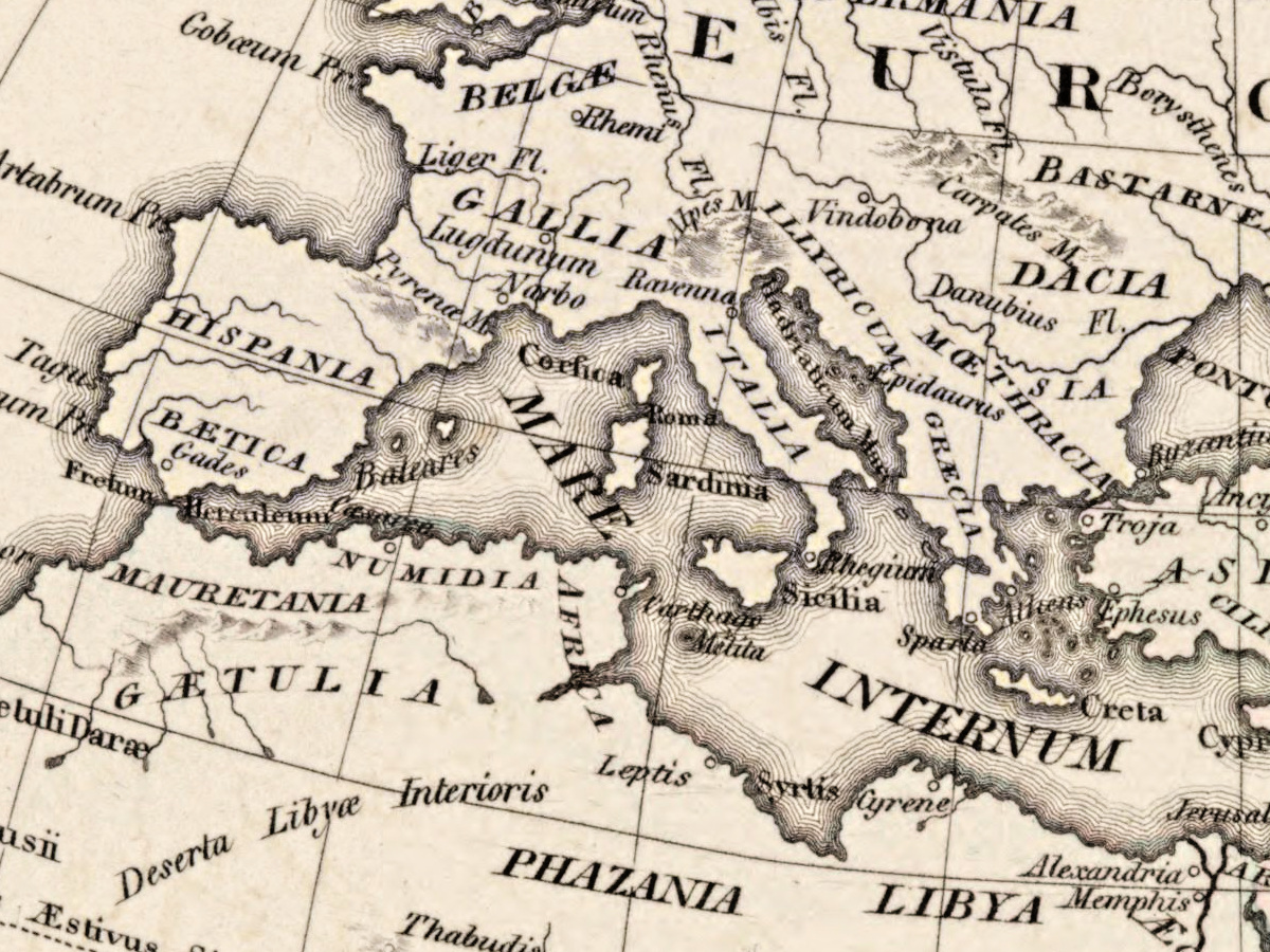
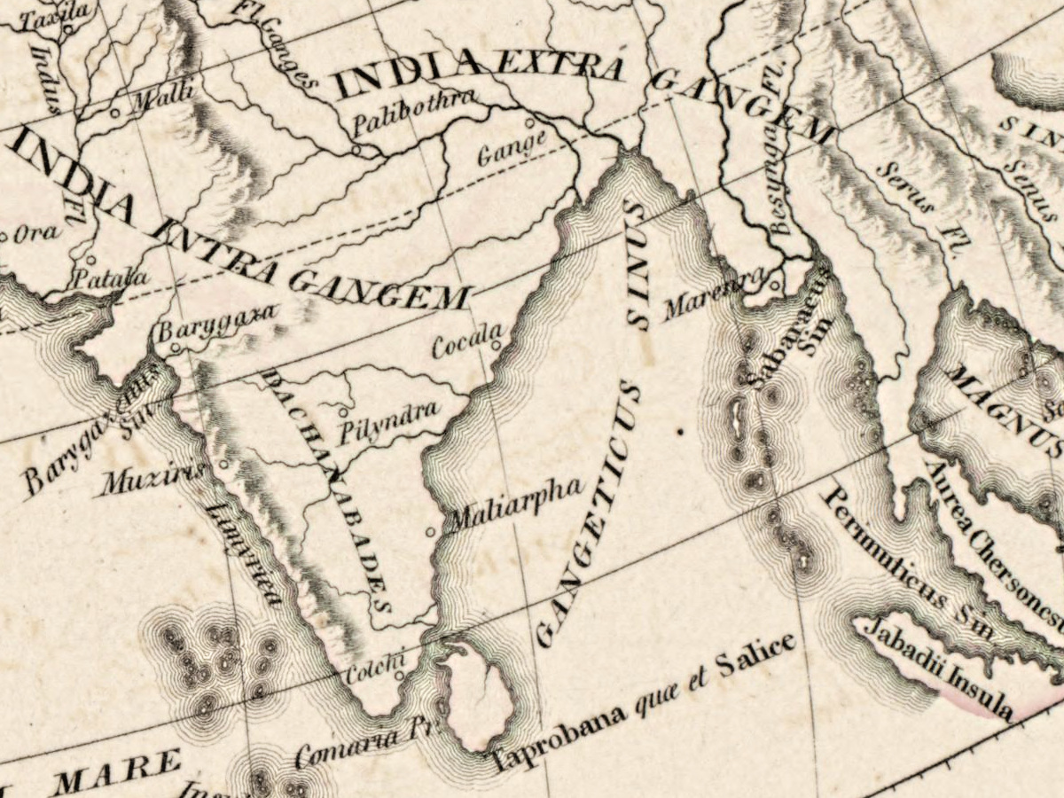
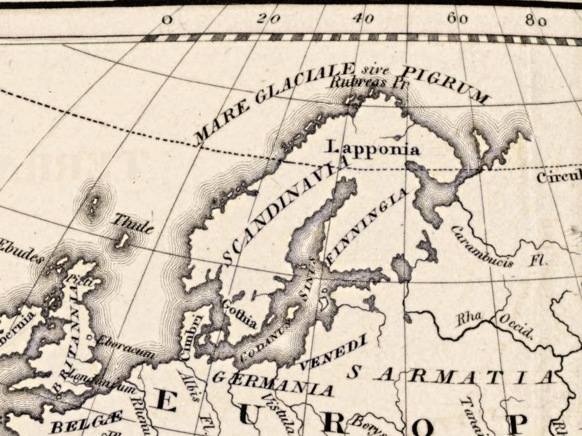
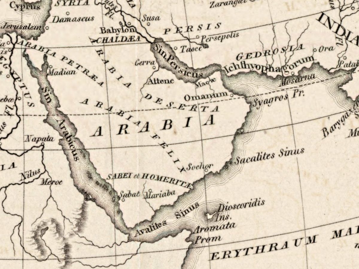
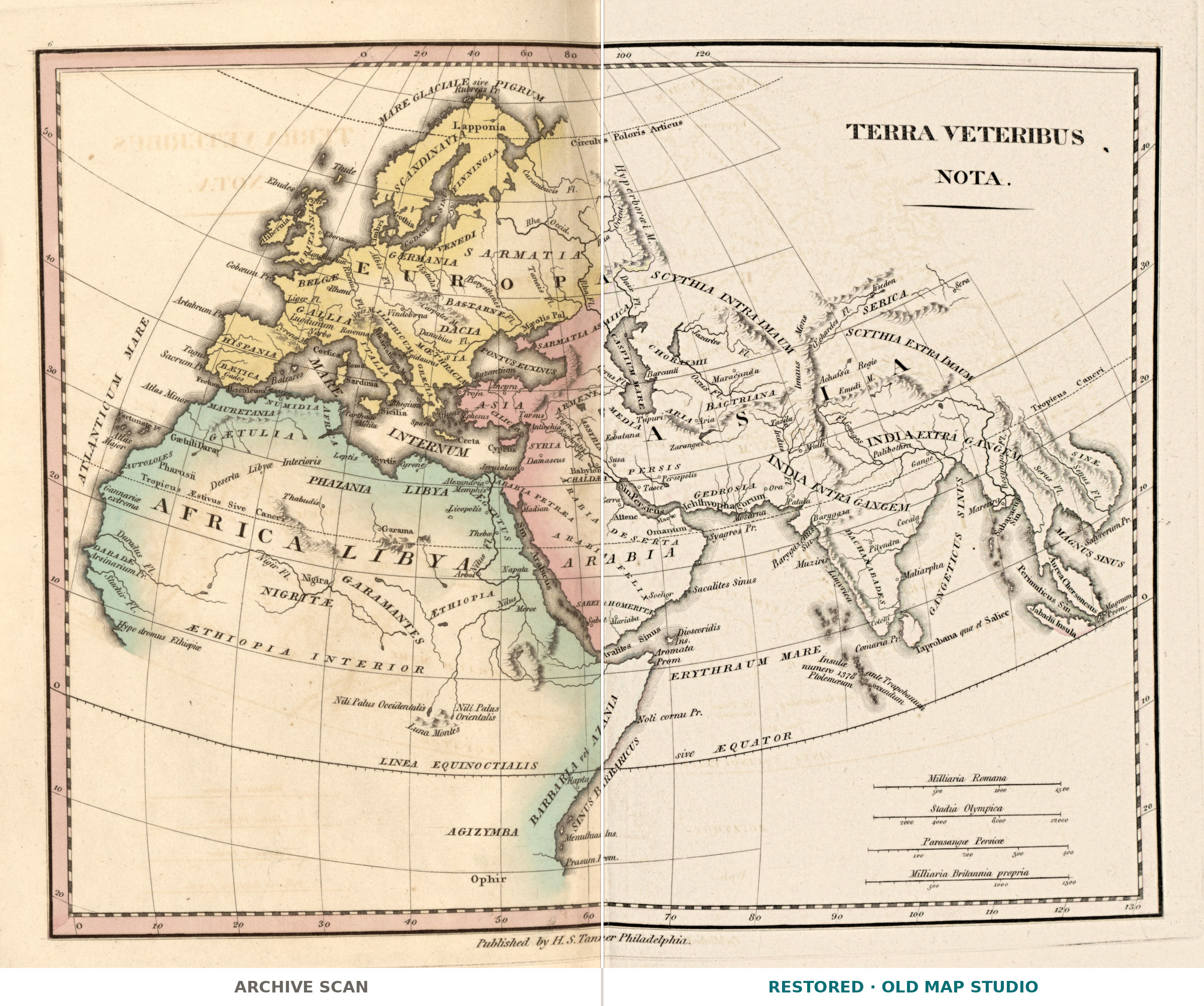
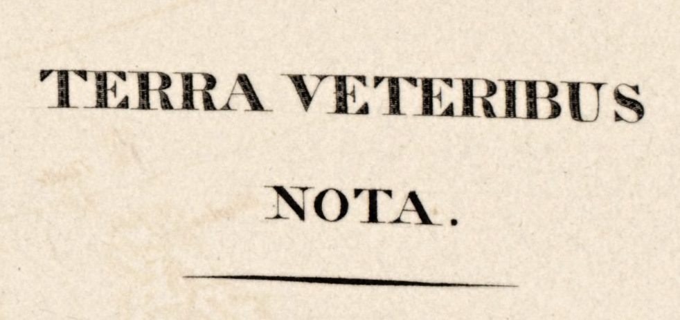
Terra Veteribus Nota – the earth as known to the ancients – is one of the sixteen maps of Henry Schenck Tanner’s Atlas of Ancient Geography, published by H.S. Tanner in Philadelphia in 1826. Its title page says the maps were “selected from the most approved works” to elucidate the writings of the ancient authors, “both sacred and profane”, and the Library of Congress record divides the atlas into Geographia sacra, Geographia ecclesiastica and Geographia antiqua.
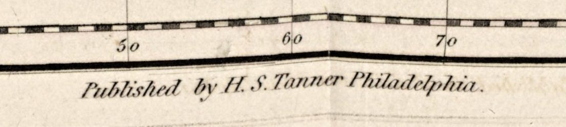
The Connecticut Historical Society describes Tanner (1786–1858) as a prominent draughtsman, engraver and publisher of maps, active in Philadelphia in the first half of the 19th century. The David Rumsey Map Collection lists his address on the title page as No. 177 Chesnut Street.
What the Rumsey description notes
The David Rumsey Map Collection describes its copy of this map as follows:
- Lettering in Latin.
- Engraved.
- Districts outlined in color tint.
- Relief shown by modified hachures.
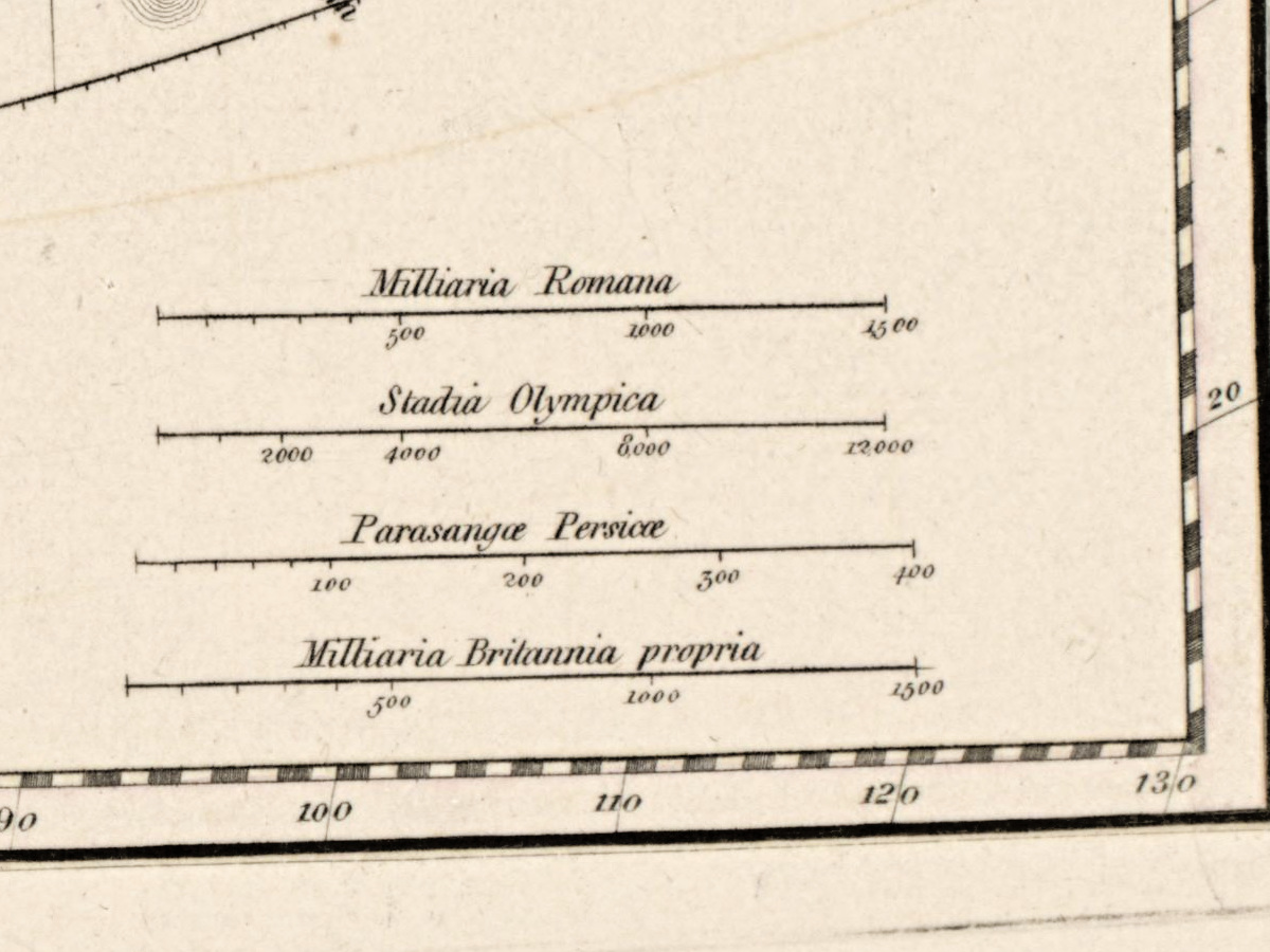
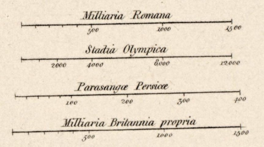
- Four scales.
- A prime meridian through the Fortunate Isles – the Canary Islands.
The Library of Congress keeps the atlas as G1033 .T34 1826 – a 28 cm volume of 16 leaves of double plates with colored maps – and your file is made from its scan, free to use and reuse.
Your file
| Original | map from An atlas of ancient geography, Philadelphia, 1826, Library of Congress G1033 .T34 1826; the record describes the atlas, not this sheet’s size |
| Scan | full sheet 4425 × 3557 px; the map inside the trimmed border 4181 × 3364 px |
| Print size at 300 dpi | the map prints to 35 cm (14 in), the full sheet with margins to 37 cm (15 in) |
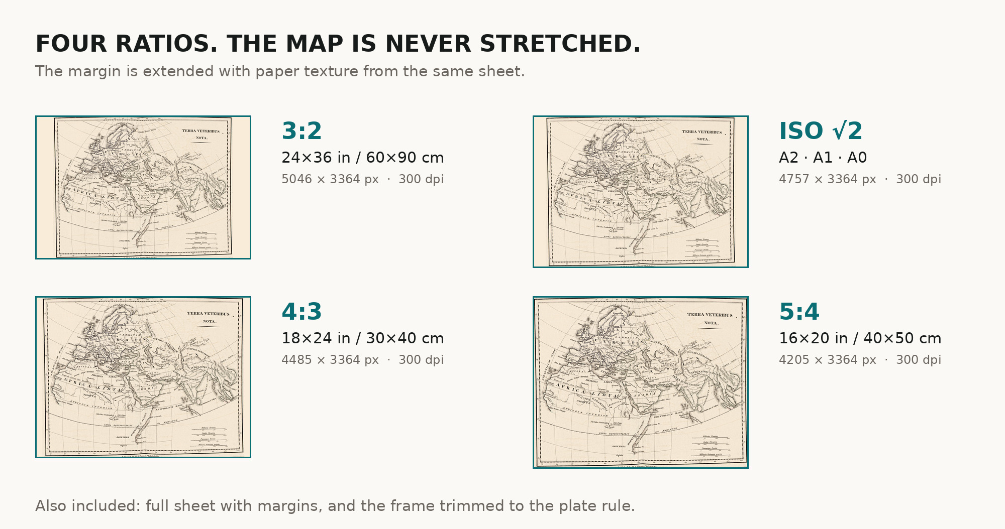
| You download | six ZIP archives: full sheet, trimmed, 3:2, 4:3, 5:4 and ISO A |
| Inside each one | one JPEG at 300 dpi, the restoration passport as a PDF, a READ ME |
How to print
- This is an atlas plate for a modest frame: at 300 dpi the map prints to 35 cm. Pick the archive whose proportions match your frame; ask for matte fine-art paper in sRGB with auto-enhancement off.
- Where to print it: print shops near you and checked prices at online labs.
Source and rights
The file is made from the Library of Congress scan, which the library marks free to use and reuse. The record describes the atlas as having colored maps but does not name the printing technique; “engraved” in the list above is the Rumsey collection’s description of its own copy. There is no TIFF master in the package. Catalogue record: Library of Congress →
Features
- Latin
Attachments
Reviews
No reviews found
See also
-
 Antique World Map c. 1488 — Le Rouge, La mer des hystoires
-
Antique World Map c. 1816 — Elizabeth Knight, Map of the World
-
Antique World Map c. 1867 — Drioux, Planisphère
-
Antique World Map 1807 — Hansteen, Abweichungskarten
-
Old World Map — Leipzig Mappa Mundi, Jomard Facsimile
-
Antique World Map 1602 — Mercator & Hondius, Orbis Terrae