Antique World Map 1807 — Hansteen, Abweichungskarten
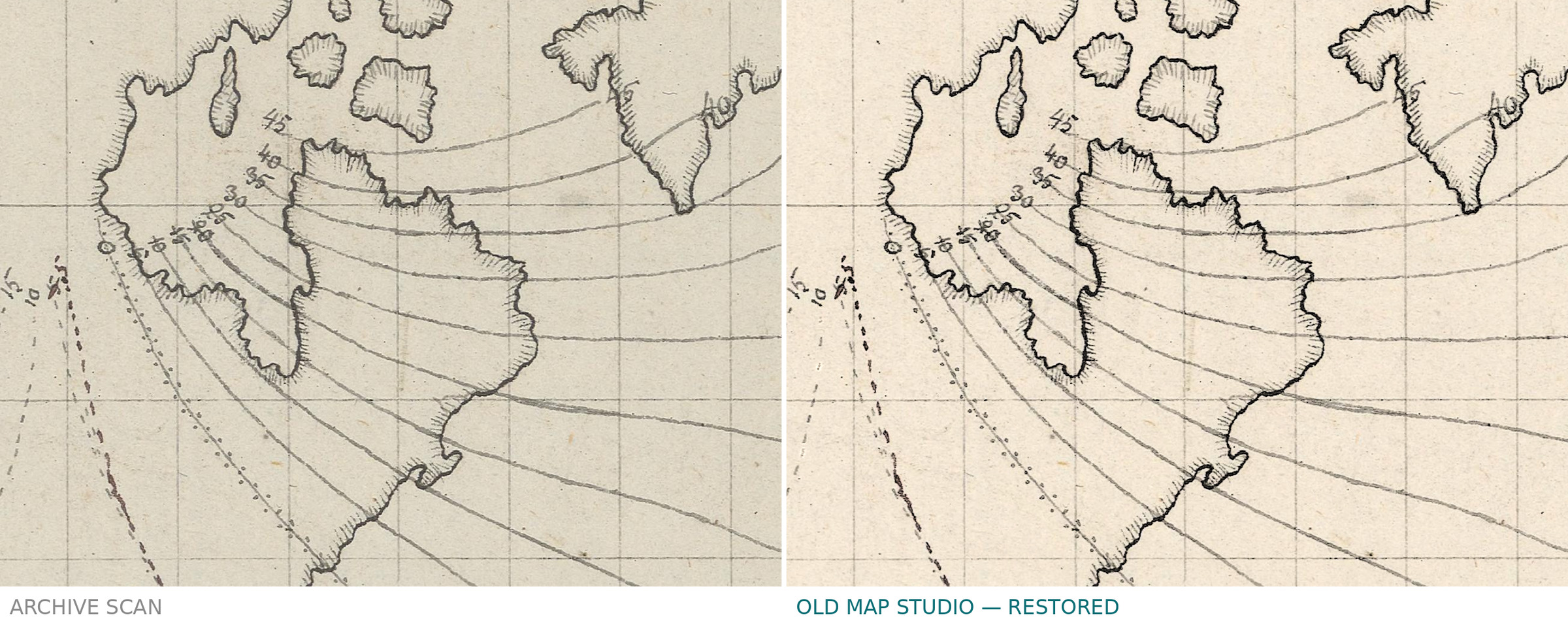
Description
An antique magnetic map of the world by Hansteen, 1807–1819
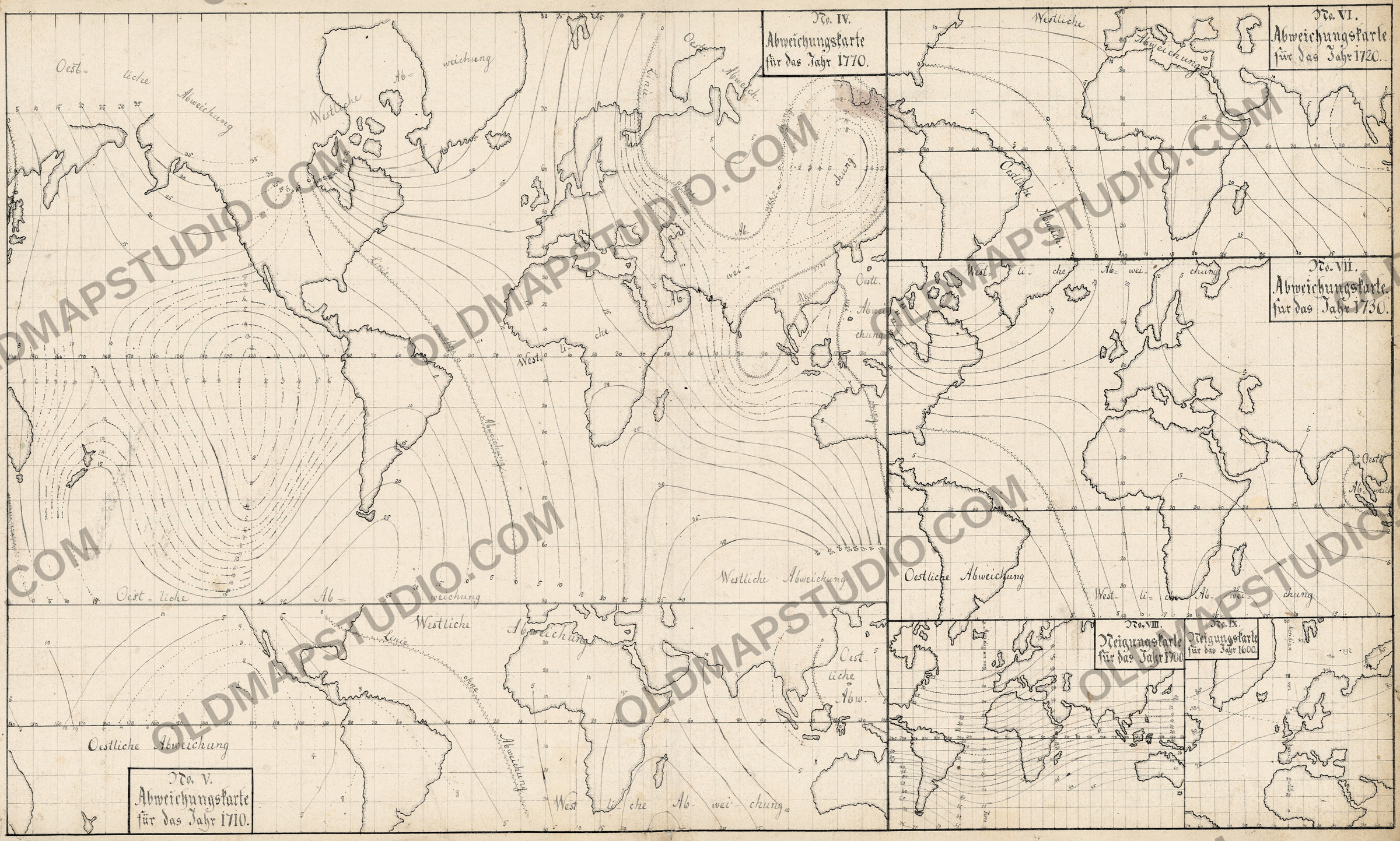
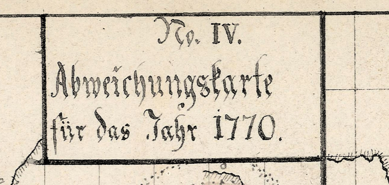
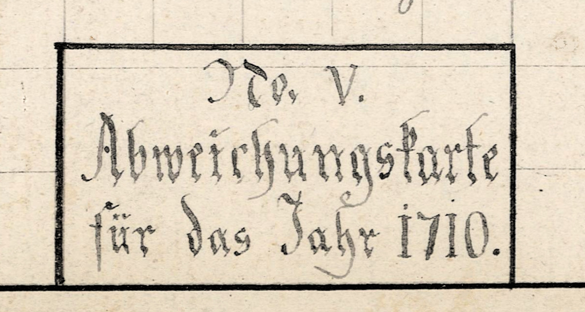
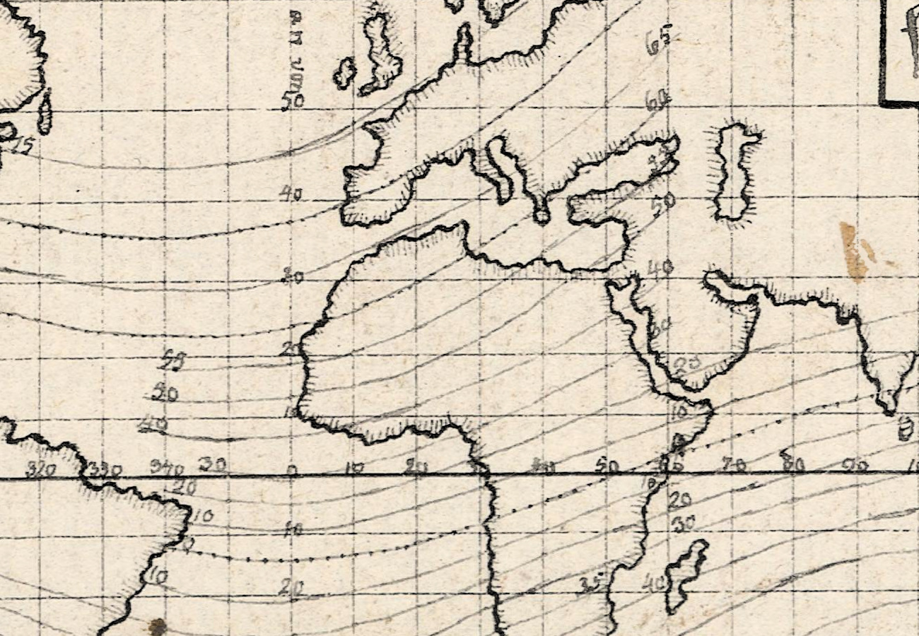
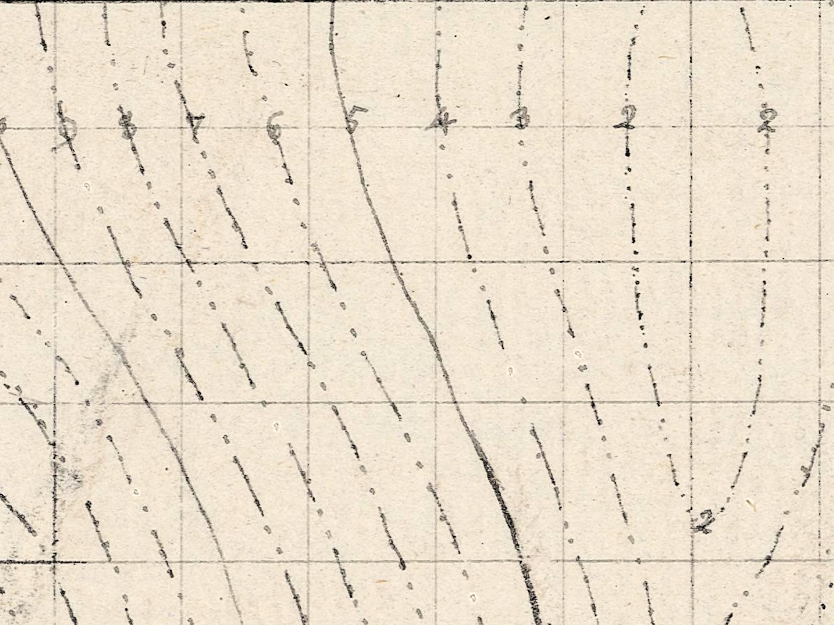
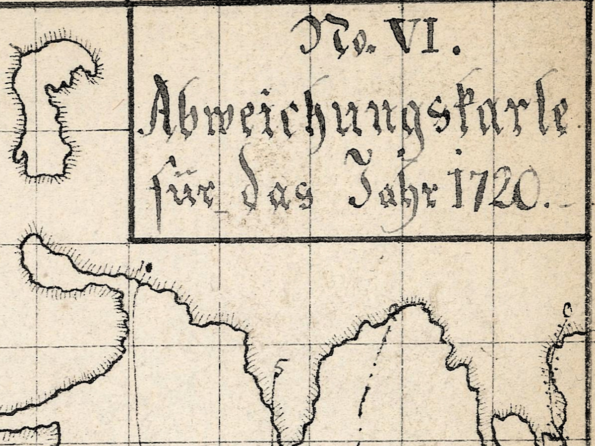
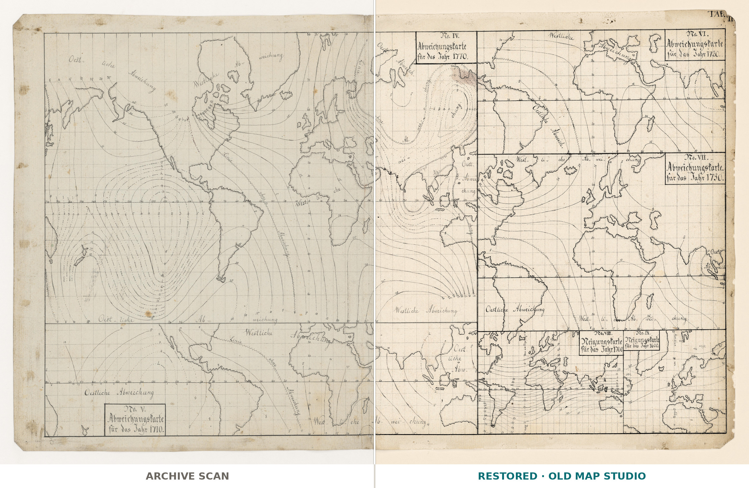
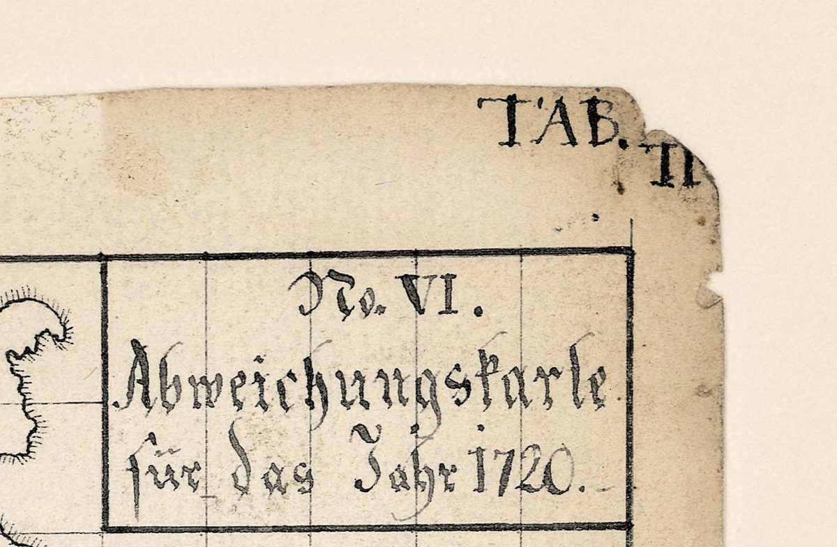
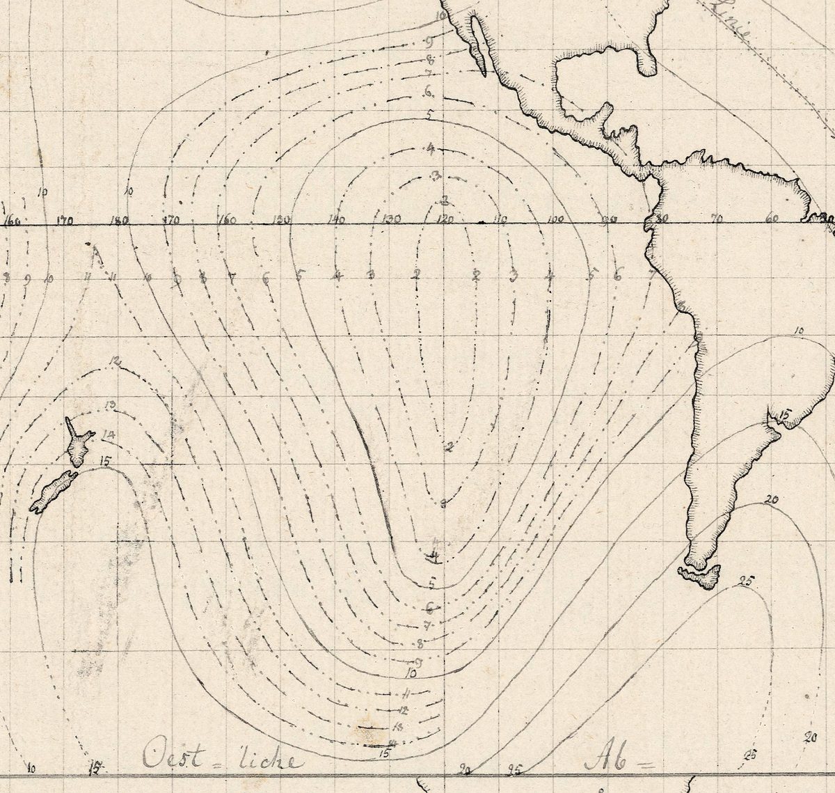
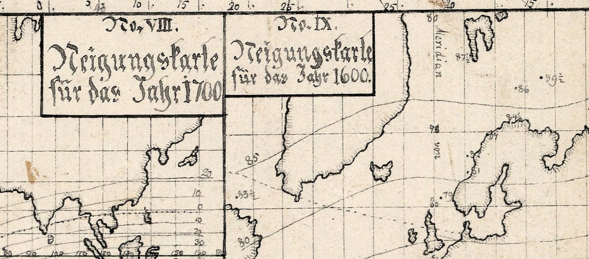
Six small world maps share this sheet: declination maps – Abweichungskarten – for 1770, 1710, 1720 and 1730, numbered IV to VII, and inclination maps – Neigungskarten – for 1700 and 1600, numbered VIII and IX. The National Library of Norway catalogs it as a manuscript: a printed map with further information drawn by hand and the title written by hand, marked “Tab II” at the top right. It is the model for Tab. II of the Magnetischer Atlas that went with Christopher Hansteen’s study of the Earth’s magnetism, published in 1819. On this sheet, as on the printed plate, the large map is titled No. IV. Abweichungskarte für das Jahr 1770; the National Library of Norway’s record gives 1700.
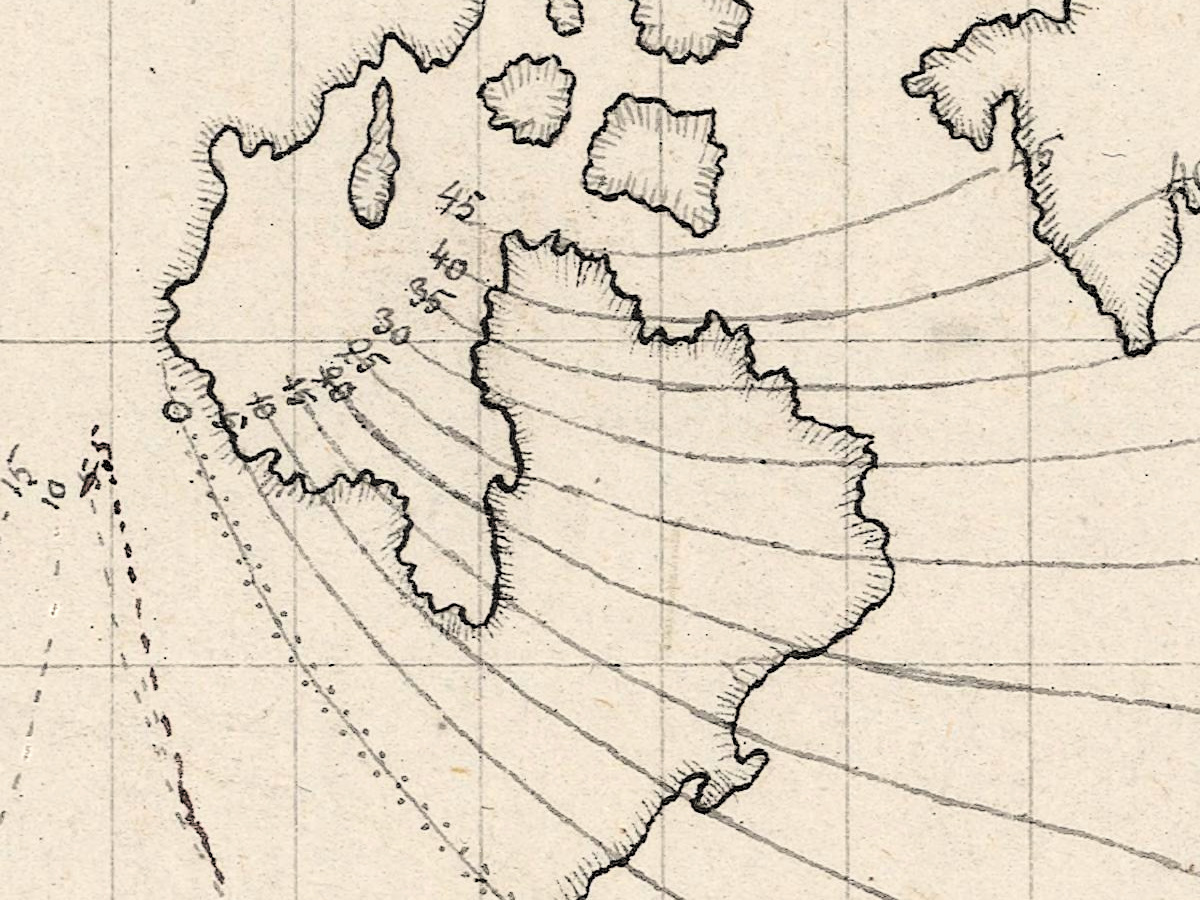
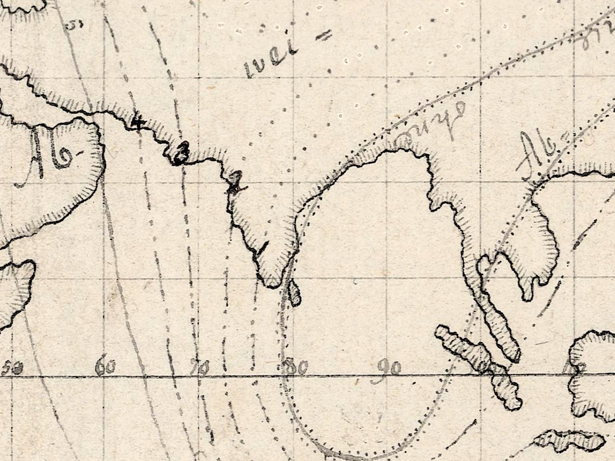
Hansteen (1784–1873), the Norwegian physicist and astronomer, dated the start of his inquiry to early 1807. In 1811 the Royal Danish Society of Sciences in Copenhagen asked whether a single magnetic axis could explain all of the Earth’s magnetic phenomena, and Hansteen won by arguing that two axes were needed. His Untersuchungen über den Magnetismus der Erde was printed in Christiania in 1819 “with 5 copper plates and an atlas of 7 maps”. He entered the observations by latitude and longitude on large working charts and drew the curves through the points of equal declination or inclination.
The catalog gives the sheet’s provenance as Christopher Hansteen and the university’s astronomical observatory; today it belongs to the Museum for universitets- og vitenskapshistorie, and the National Library of Norway digitized it in 2022. It measures 28 × 47 cm and is dated between 1807 and 1819. Carl Friedrich Gauss disproved Hansteen’s theory of the magnetic axes in 1839, and Britannica judges his theories less successful than his measurements.
Your file
| Original | printed map with hand-drawn additions, [Kristiania], between 1807 and 1819, Museum for universitets- og vitenskapshistorie, digitized by the National Library of Norway; sheet 28 × 47 cm |
| Scan | full sheet 11485 × 7126 px; the maps inside the trimmed border 10548 × 6342 px |
| Print size at 300 dpi | the map prints to 89 cm (35 in), the full sheet with margins to 97 cm (38 in) |
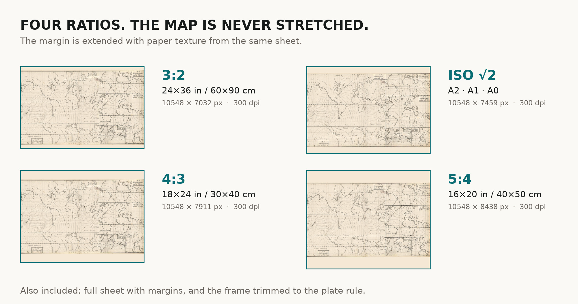
| You download | six ZIP archives: full sheet, trimmed, 3:2, 4:3, 5:4 and ISO A |
| Inside each one | one JPEG at 300 dpi, the restoration passport as a PDF, a READ ME |
How to print
- A small sheet scanned at high resolution: at 300 dpi the map prints to 89 cm, well above the size of the original. Pick the archive whose proportions match your frame; ask for matte fine-art paper in sRGB with auto-enhancement off.
- Where to print it: print shops near you and checked prices at online labs.
Source and rights
The file is made from the National Library of Norway’s digitization; the sheet is in the public domain. The record calls it a printed map with hand-drawn additions and does not name the printing technique or any coloring. There is no TIFF master in the package. Catalogue record: Nasjonalbiblioteket →
Features
- German
Attachments
Reviews
No reviews found
See also
-
 Antique World Map c. 1816 — Elizabeth Knight, Map of the World
-
Antique World Map 1602 — Mercator & Hondius, Orbis Terrae
-
Antique World Map 1826 — Tanner, Terra Veteribus Nota
-
Antique World Map 1710 — Hōtan, Nansenbushū Bankoku Shōka
-
Antique World Map c. 1488 — Le Rouge, La mer des hystoires
-
Antique Map of Asia c. 1150 — Jerome Map, Miller Facsimile 1895, Plate 11