Antique World Map 1752 — Robert de Vaugondy, Orbis Vetus
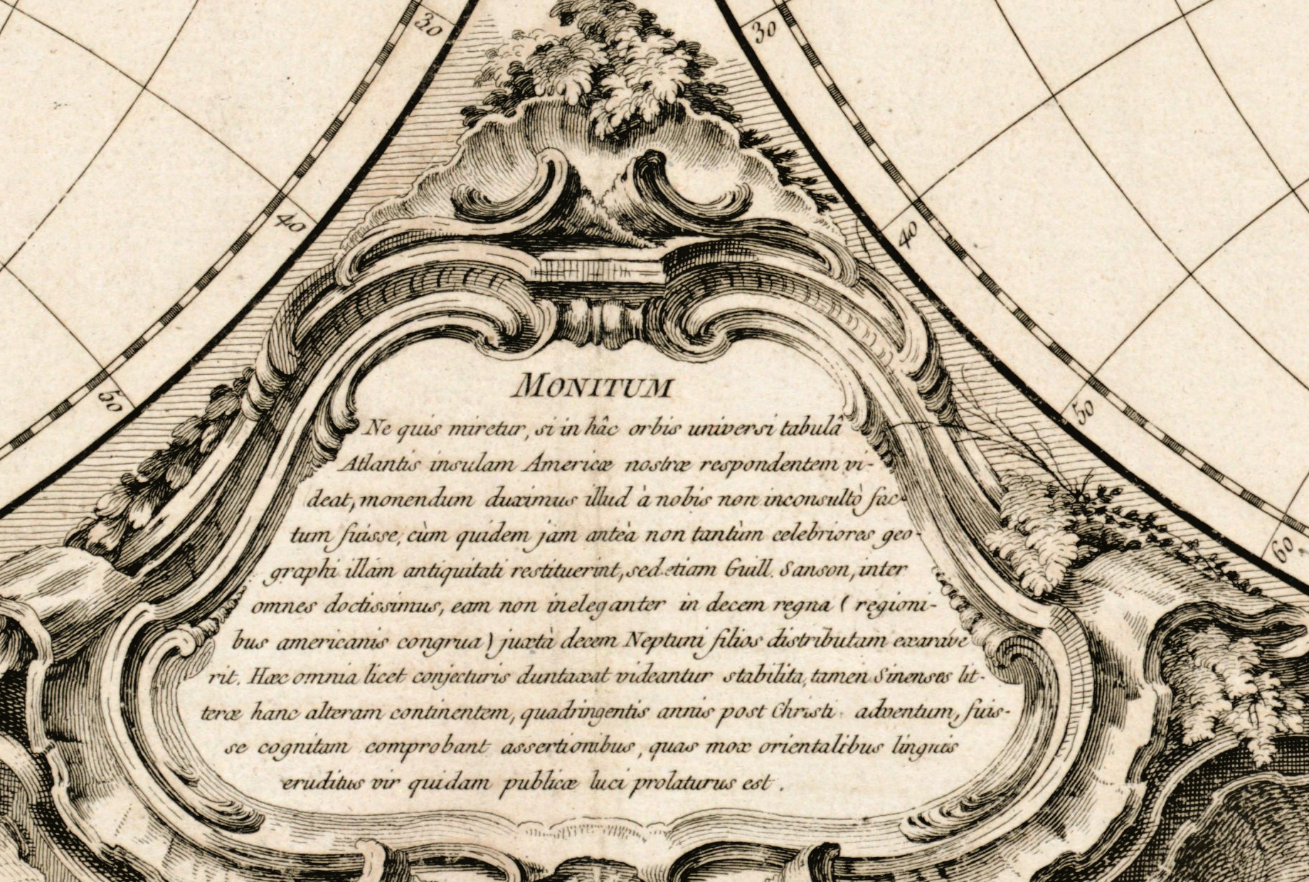
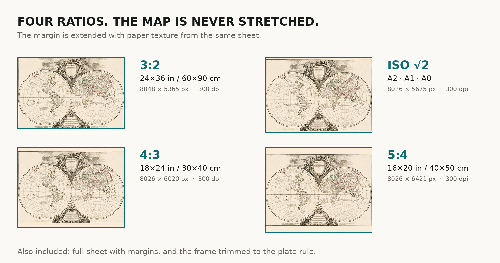
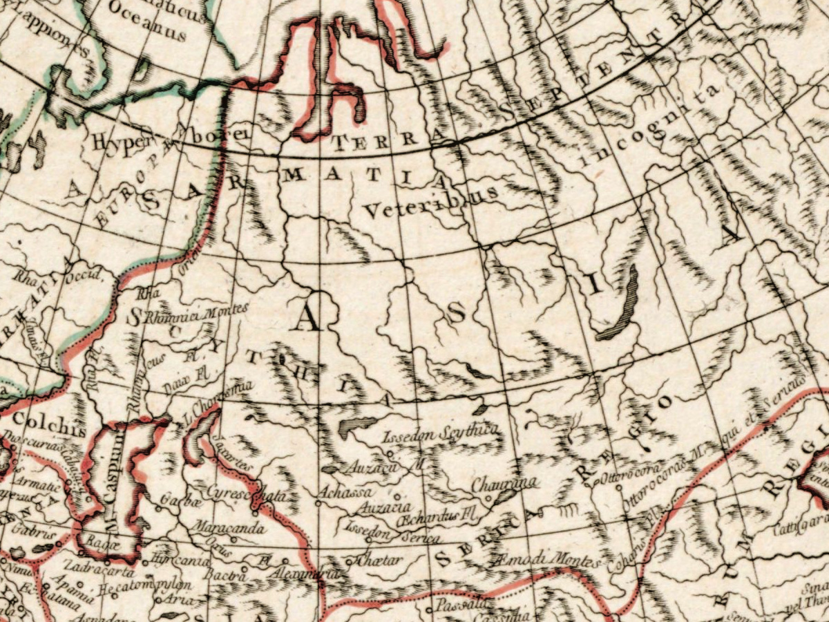
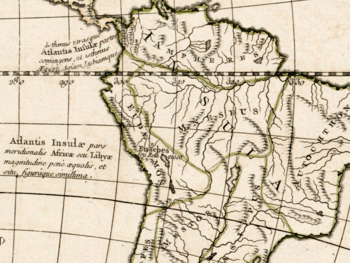
Description
An old world map of the world antiquity knew
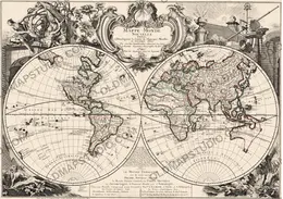
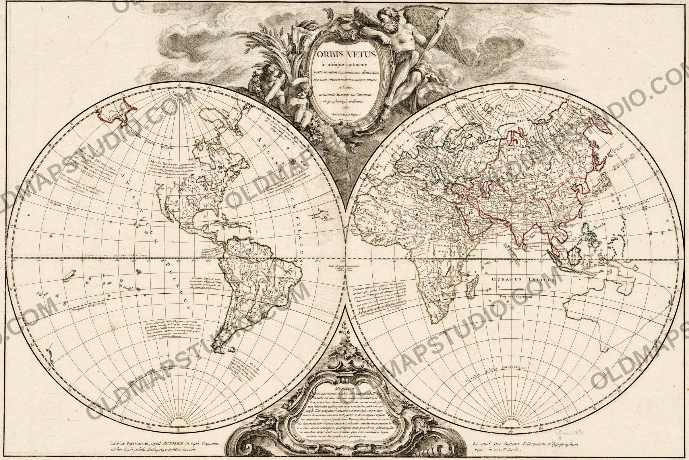
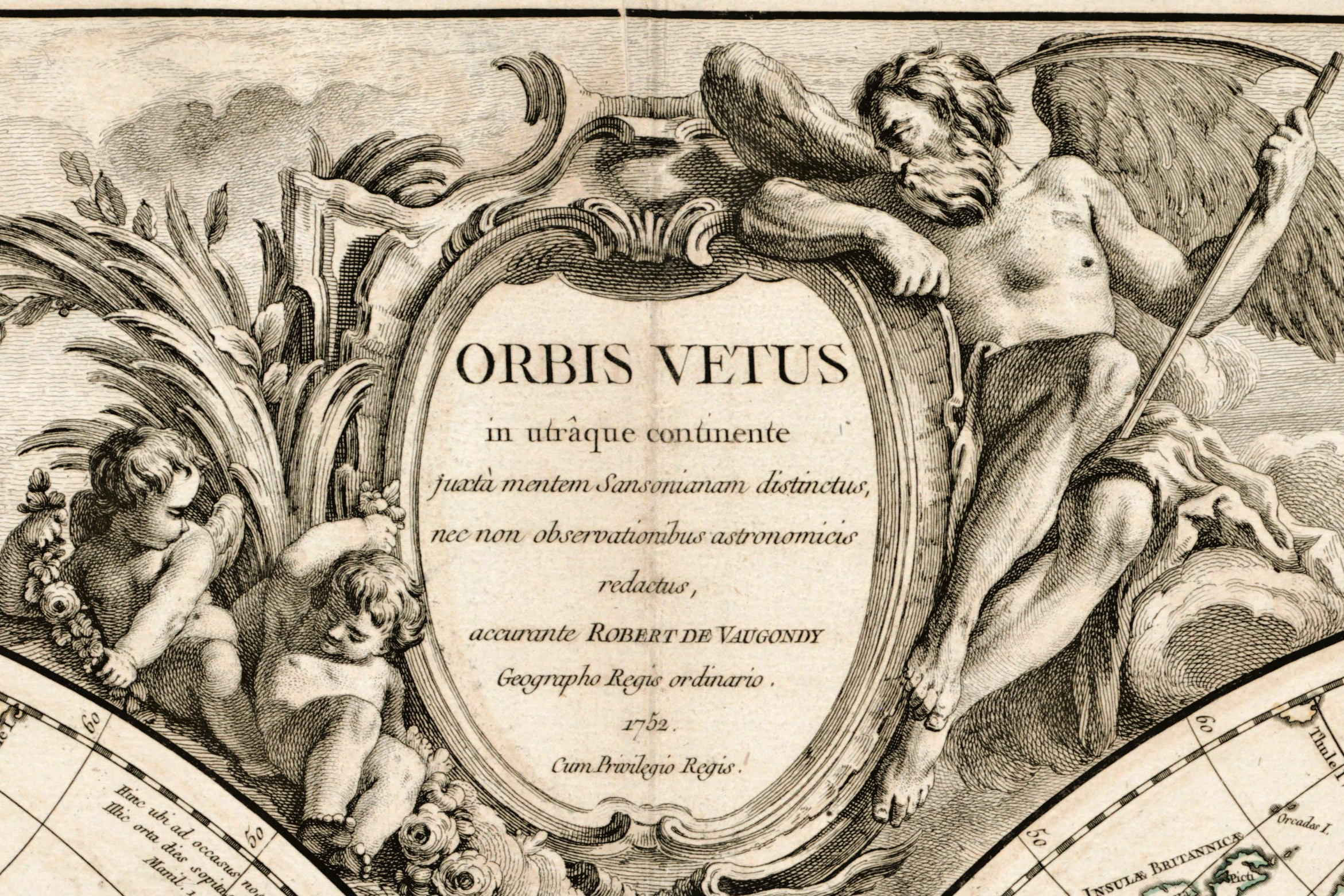
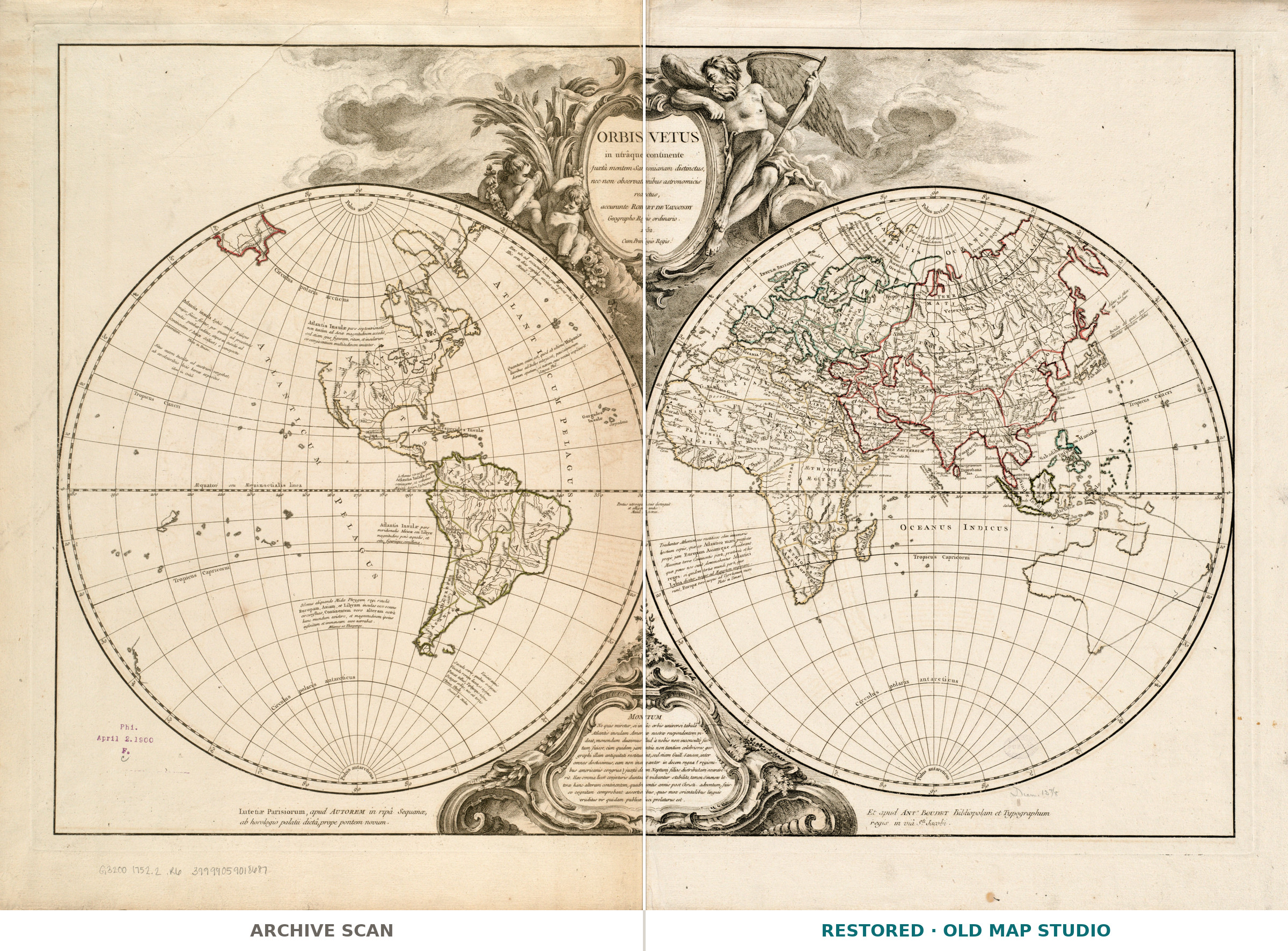
Not the world of 1752 but the world of the ancients, redrawn with Enlightenment instruments: Orbis vetus in utrâque continente juxtà mentem Sansonianam distinctus — the old world across both continents, after Sanson's conception and checked against astronomical observation. Didier Robert de Vaugondy, geographer to the king, published it in Paris with Antoine Boudet: two hemispheres of 35 cm on a sheet of 56 × 79 cm.
Your file
| Original | Didier Robert de Vaugondy, Paris, 1752, published with Antoine Boudet. The record names no printing technique, so neither do we |
| Sheet | 56 × 79 cm, each hemisphere 35 cm across |
| Scan | full sheet 8660 × 6121 px; the map inside the trimmed border 8026 × 5365 px. From the library's own scan, not an upscale |
| Print size at 300 dpi | the map prints to 67 cm (26 in), the full sheet with margins to 73 cm (28 in) |
| You download | six ZIP archives: full sheet, trimmed, 3:2, 4:3, 5:4 and ISO A |
| Inside each one | one JPEG at 300 dpi, the restoration passport as a PDF, a READ ME |
How to print
- Print at 300 dpi at the size above and do not let the shop scale the file up.
- Pick the archive whose proportions match your frame, so nothing is cropped or stretched.
- Where to print it: print shops near you and checked prices at online labs.
Source and rights
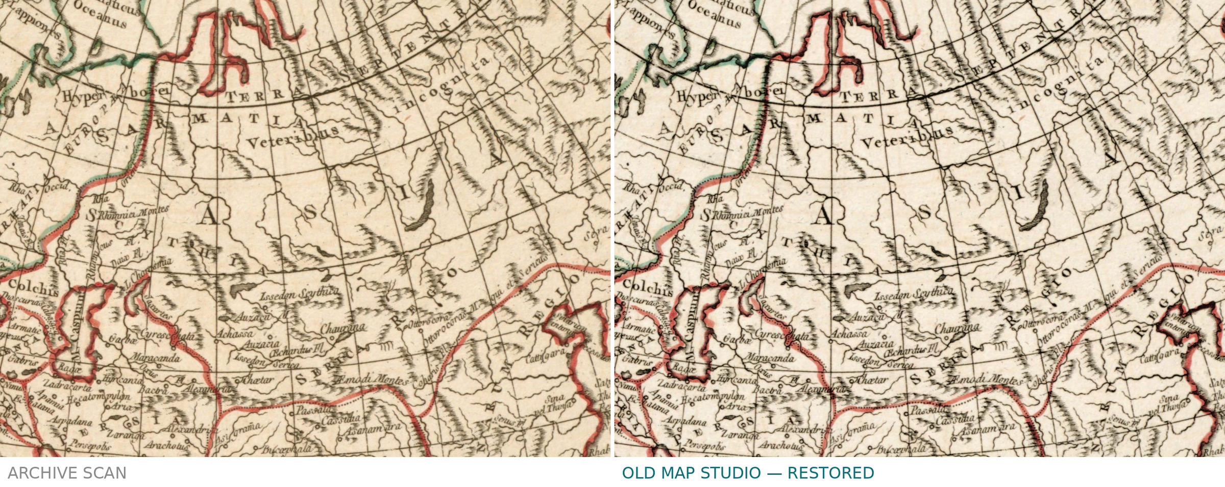
Boston Public Library, Norman B. Leventhal Map & Education Center Collection, shelfmark G3200 1752.2 .R6, record commonwealth:2514p072r. No known restrictions on use, and the library is named in the passport inside every archive. An oval BOSTON PUBLIC LIBRARY stamp lay over the engraving: its ink was lifted by colour and the four graticule lines beneath it are whole, but a faint grey trace of the densest letters is left as it is — the passport says so. Catalogue record: Leventhal Map & Education Center →
Features
- Latin
Attachments
Reviews
No reviews found
See also
-
 Antique World Map 1810 — Sherwood, Neely and Jones
-
Antique World Map 1839 — Willard, Universal History
-
Antique World Map 1744 — Le Rouge, Mappe Monde Nouvelle
-
Antique World Map 1850 — Burr, Mercator's Projection
-
Antique World Map c. 1739 — Delisle, Hemisphere Meridional
-
Antique World Map 1540 — Münster, Typvs Orbis a Ptol. Descriptus