Antique World Map 1724 — Delisle, Hemisphere Occidental

Description
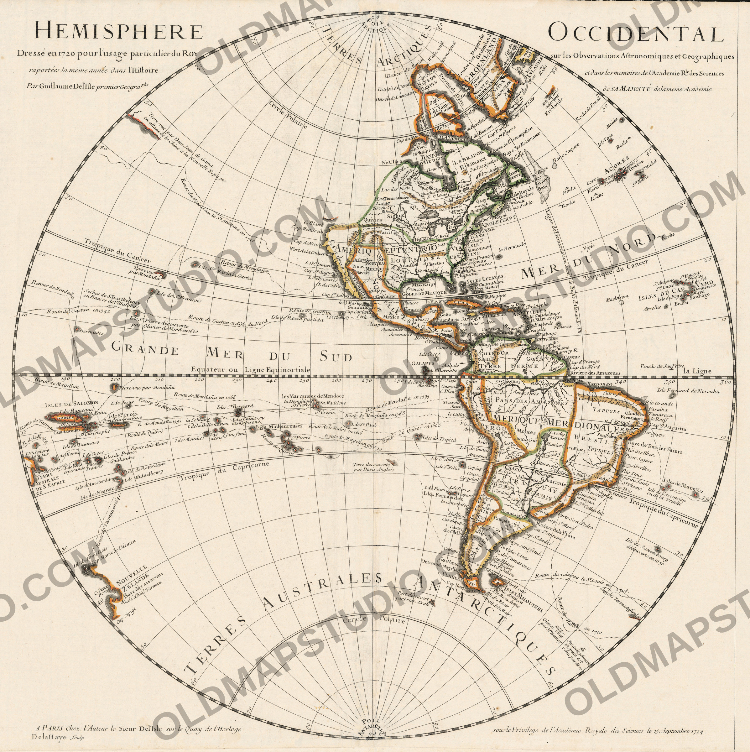
An old world map of the western half, made for the King
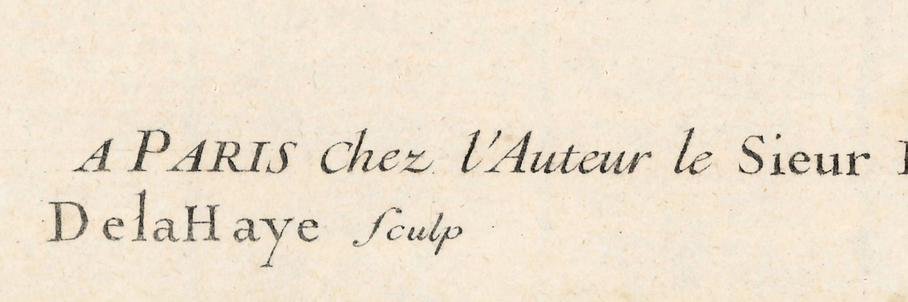
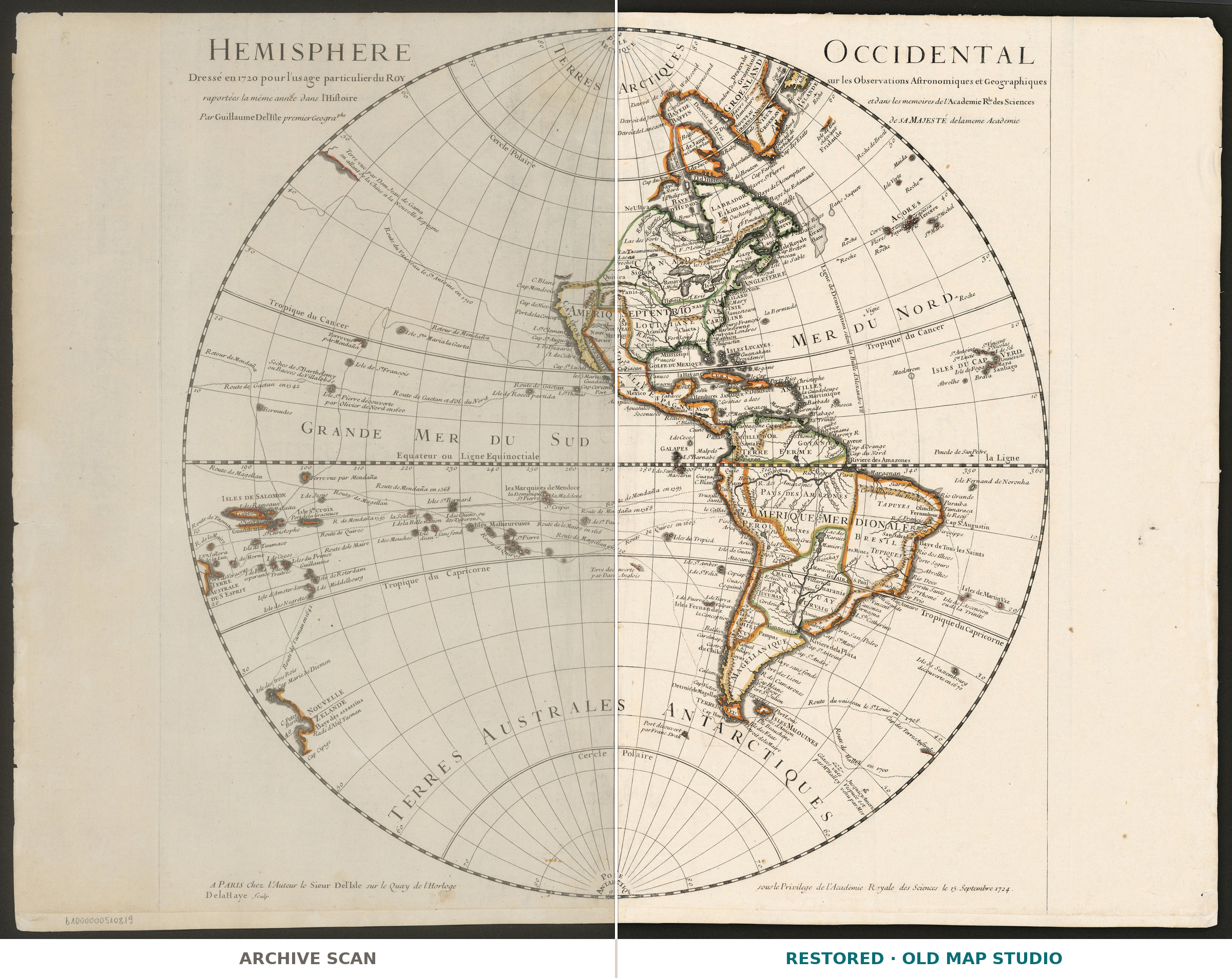
The title says what the sheet is for: Hemisphere Occidental, dressé en 1720 pour l'usage particulier du Roy — the western hemisphere, drawn in 1720 for the private use of the King, on the observations reported that same year by the Royal Academy of Sciences. Delisle published it in Paris at his own address, under an Academy privilege dated 15 September 1724. Longitude runs from Ferro, relief is drawn in the hill symbols of the period, the back of the sheet blank.
What the catalogue records
The National Library of Poland records one copper engraving: the map measures 51 × 50 cm on a sheet of 51 × 67 cm, at a scale of about 1:54,000,000. Delisle's dates are 1675 to 1726, the call number ZZK 28 843. The record says nothing about coloring.
Half a world, printed to 99 cm
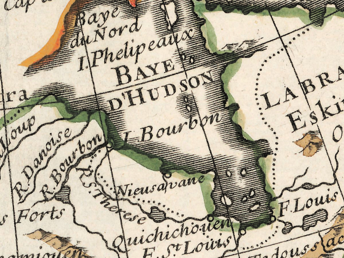
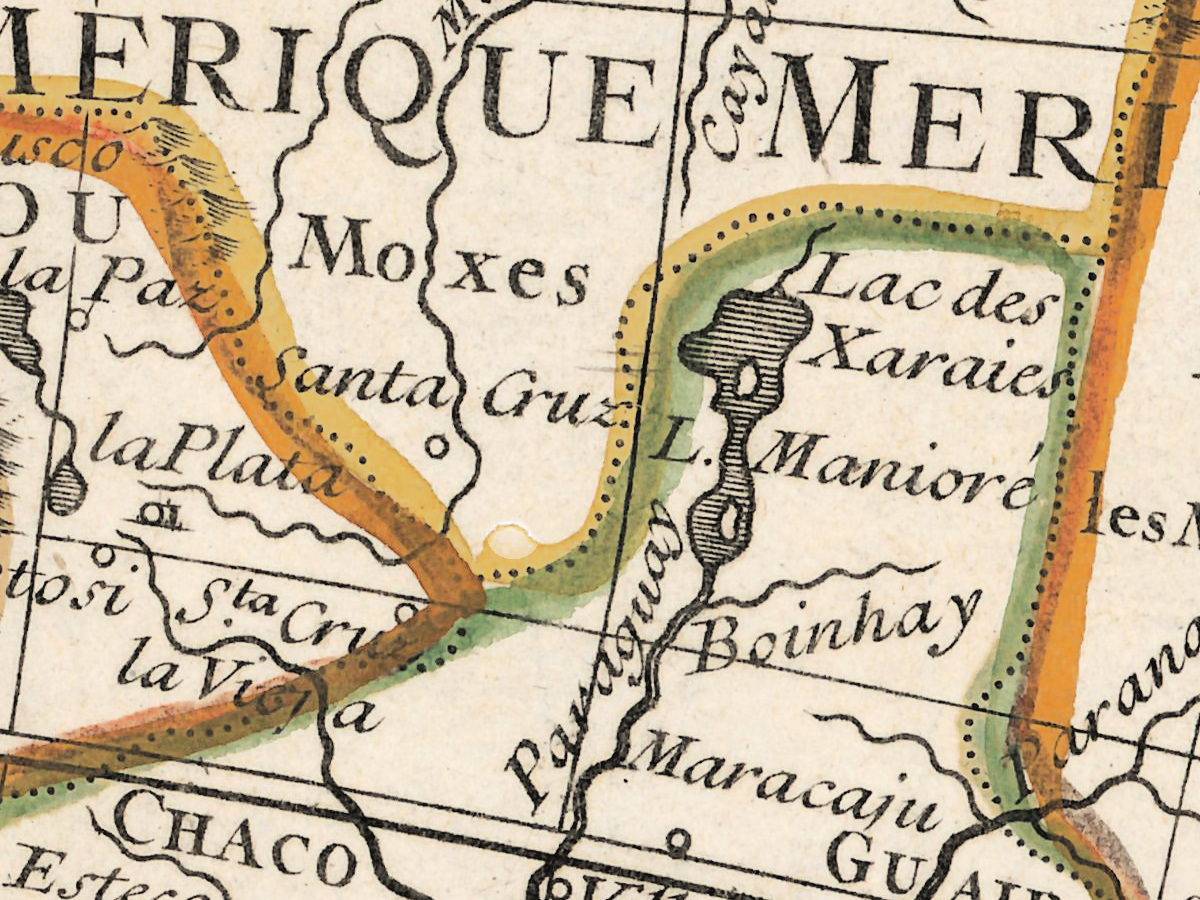
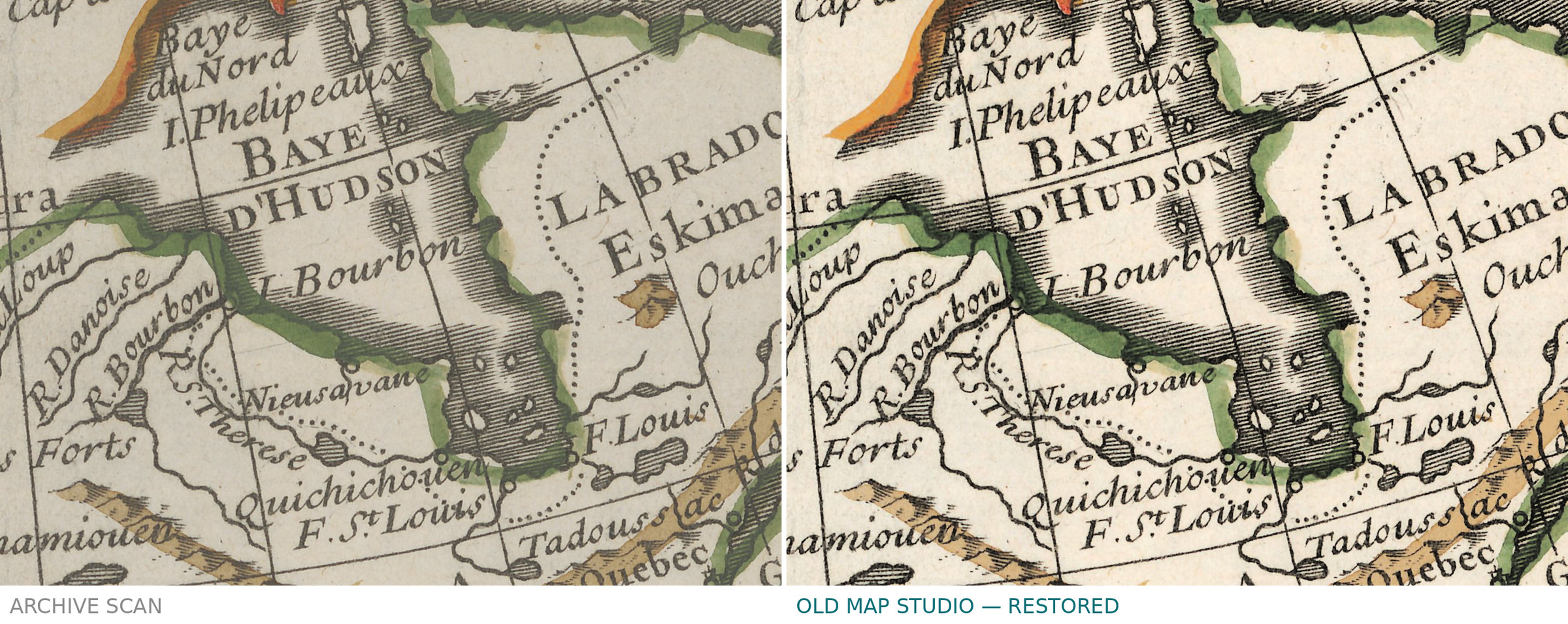
You get two frames of the same sheet, so there are two numbers. The map, cut to the outer border, prints to 99 cm (39 in) on the long side at 300 dpi; the full sheet with its margins to 136 cm (54 in). Both come from the library's own scan and not from an upscale, and the engraved coastlines hold at either size.
Your file
| Original | Guillaume Delisle, Paris, 1724, copper engraving, published at the author's address |
| Sheet | map 51 × 50 cm, sheet 51 × 67 cm |
| Scan | 16130 × 12302 px, from the library's own scan, not an upscale |
| Print size at 300 dpi | the map prints to 99 cm, the full sheet with margins to 136 cm |
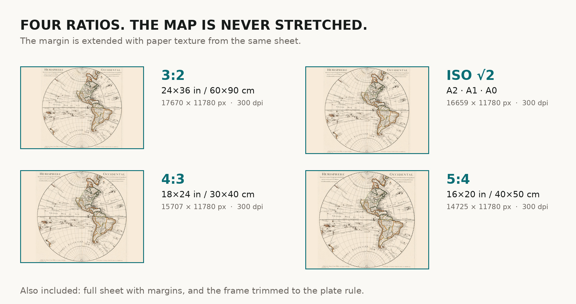
| You download | six ZIP archives: full sheet, trimmed, 3:2, 4:3, 5:4 and ISO A |
| Inside each one | one JPEG at 300 dpi, the restoration passport as a PDF, a READ ME |
How to print
- Print at 300 dpi at the size above and do not let the shop scale the file up.
- Pick the archive whose proportions match your frame, so nothing is cropped or stretched.
- Ask for matte fine-art paper, sRGB, auto-enhancement off.
- Where to print it: print shops near you and checked prices at online labs.
Source and rights
National Library of Poland, call number ZZK 28 843. The library places the sheet in the public domain and allows it to be reproduced, altered and distributed, commercially too. Archive and shelfmark are named in the passport inside every ZIP. Catalogue record: Polona →
Questions
What exactly do I get after payment?
Six ZIP archives, each with one JPEG at 300 dpi, the restoration passport as a PDF and a READ ME. There is no TIFF master in the package.
How large can I print it?
The map to 99 cm (39 in) on the long side at 300 dpi, the full sheet with margins to 136 cm (54 in) — from the scan's own resolution, not an upscale.
Where is zero longitude on this map?
At Ferro in the Canary Islands, as the catalogue records: French maps of the period counted longitude from there.
Why does the title say 1720 and the year 1724?
Drawn in 1720, as the title states; this sheet was issued under a privilege of 1724. The listing gives the year of the sheet we scanned.
Features
- French
Attachments
Reviews
No reviews found
See also
-
 Antique World Map 1540 — Münster, Typvs Orbis a Ptol. Descriptus
-
Antique World Map 1700 — Wells, Terraqueous Globe
-
Antique World Map 1850 — Burr, Mercator's Projection
-
Antique World Map 1778 — Brion de la Tour, Mappemonde
-
Antique World Map 1839 — Willard, Universal History
-
Antique World Map 1651 — Sanson, Mappe-Monde ou Carte Générale