Antique World Map 1720 — Delisle, Mappemonde

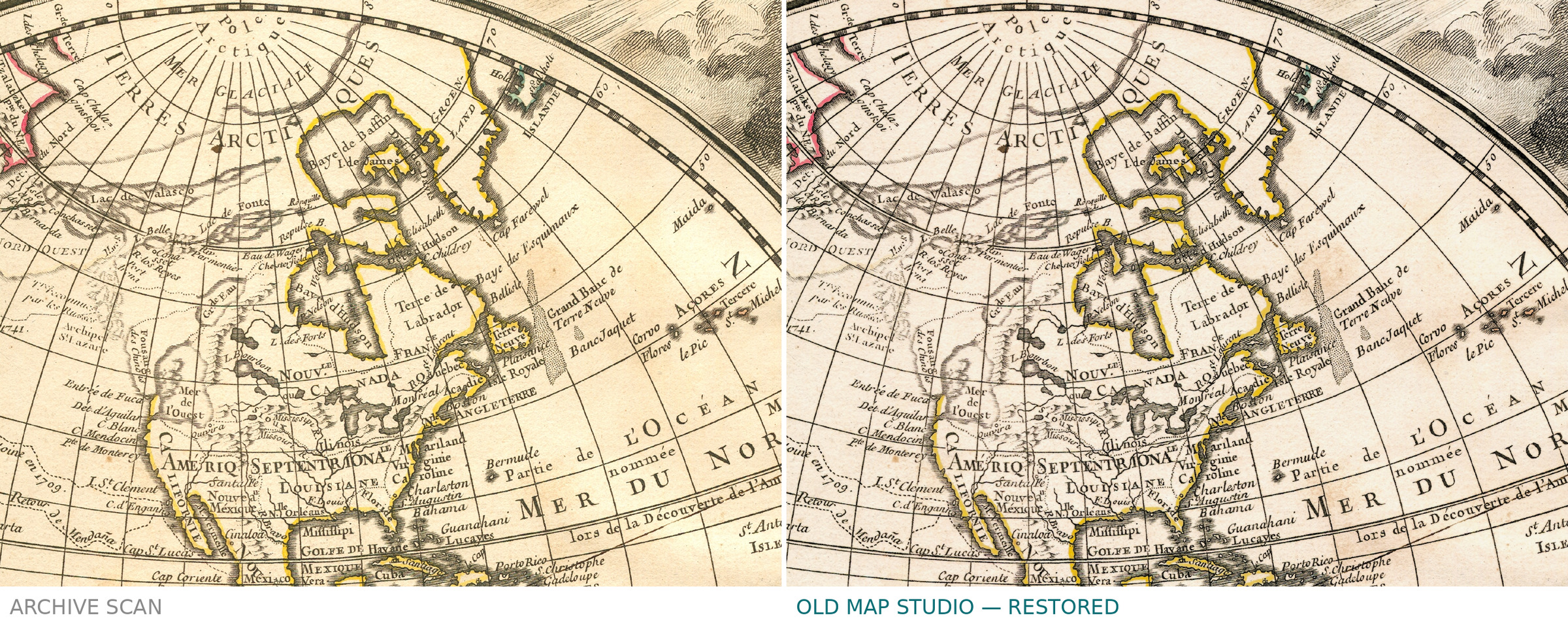
Description
The king's world map: Delisle's Mappemonde of 1720
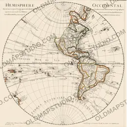
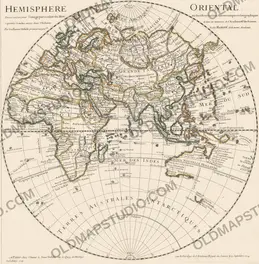
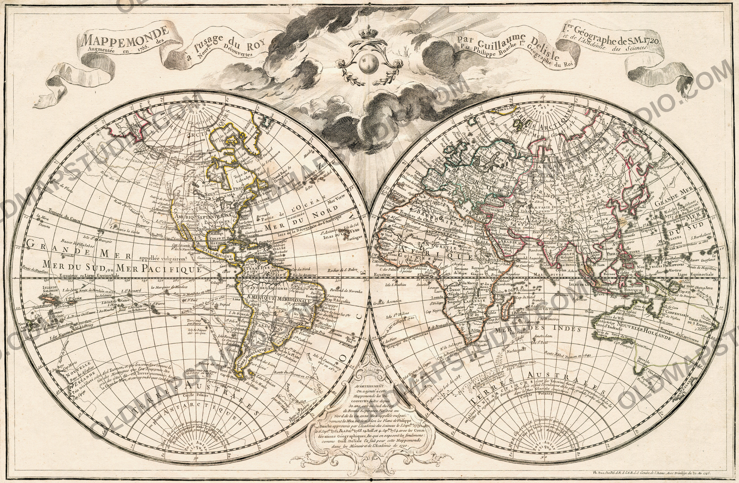
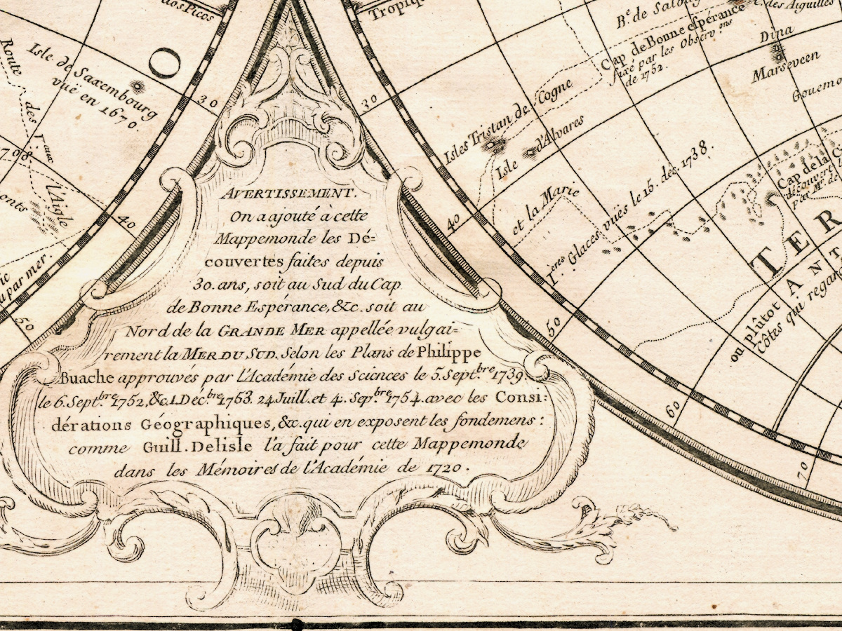
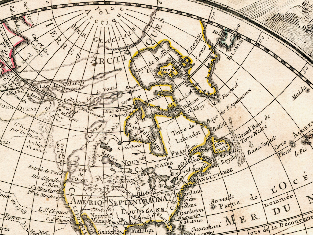
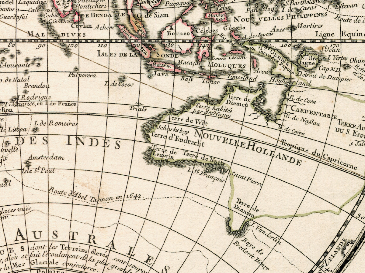
Guillaume Delisle signed this sheet as first geographer to His Majesty, and the map is named for that office: Mappemonde a l'usage du Roy, a world map for the king's use. Two hemispheres, engraved on copper, carrying the outline coloring the sheet was issued with. Between the hemispheres, above and below, stands a printed Avertissement — the geographer's note to the reader.
One sheet, three dates
The plate carries Delisle's name and the year 1720. It also carries a royal privilege dated 30 April 1745, and a line in the title cartouche saying the map was augmentée en 1755 des Nouvelles Découvertes — enlarged in 1755 with the new discoveries — over the name of Philippe Buache, geographer to the king of the Academy of Sciences. Buache was Delisle's successor at the plates, and he kept them current for decades after Delisle's death. The copy scanned here is therefore the 1720 edition in the state Buache brought up to date thirty-five years later. The catalogue year stays 1720, because that is the edition; the sheet tells you the rest.
What the catalogue can and cannot tell us
The sheet is held by the National Library of Finland in the Nordenskiöld collection, and its permanent address in the Doria repository is 10024/91776. Its catalogue record cannot be read: the repository sits behind a bot check that answers every reader with an error, ours included, and we do not work around such protection. Everything above is therefore read from the sheet itself. For the edition — not for this copy — the Library of Congress describes another example of the 1720 Mappemonde: published in Paris by Delisle, first geographer to the king of the Royal Academy of Sciences, two hemispheres of 33 cm on a sheet of 48 by 71 cm, shelfmark G3200 1720 .L5. Those measurements belong to that copy, not to ours, which is why no sheet size for our sheet is given here.
Your file
| Original | Guillaume Delisle, Paris, 1720, copper engraving, state augmented by Philippe Buache in 1755 |
| Layout | two hemispheres, original outline coloring, French |
| Scan | full sheet 4961 × 3278 px; the map inside the trimmed border 4867 × 3183 px. From the library's own scan, not an upscale |
| Print size at 300 dpi | the map prints to 41 cm (16 in) on the long side, the full sheet with its margins to 42 cm (16 in) |
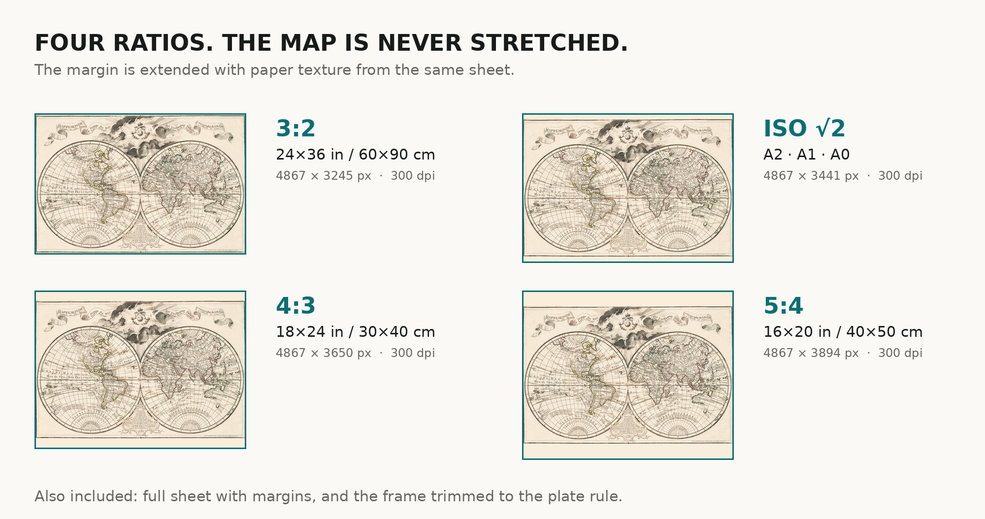
| You download | six ZIP archives: full sheet, trimmed, 3:2, 4:3, 5:4 and ISO A |
| Inside each one | one JPEG at 300 dpi, the restoration passport as a PDF, a READ ME |
How to print
- Print at 300 dpi at the size above and do not let the shop scale the file up.
- Pick the archive whose proportions match your frame, so nothing is cropped or stretched.
Source and rights
National Library of Finland, A. E. Nordenskiöld collection, Doria repository, permanent address 10024/91776. Public domain. Catalogue record: Doria →
Questions
What exactly do I get after payment?
Six ZIP archives, each with one JPEG at 300 dpi, the restoration passport as a PDF and a READ ME. There is no TIFF master in the package.
How large can I print it?
The map itself reaches 41 cm (16 in) on the long side at 300 dpi; take the full sheet with its margins and it reaches 42 cm. Both numbers come from the resolution of the library's scan, not from an upscale.
Why does the sheet say 1720, 1745 and 1755?
1720 is Delisle's edition, 1745 the royal privilege, 1755 the additions Buache made to the plate. We catalogue the map by its edition and describe the state.
Features
- French
Attachments
Reviews
No reviews found