Antique World Map 1744 — Le Rouge, Mappe Monde Nouvelle
Description
A sheet that comes back at its original size
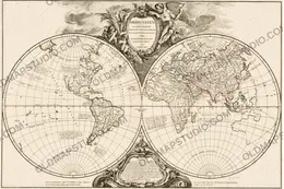
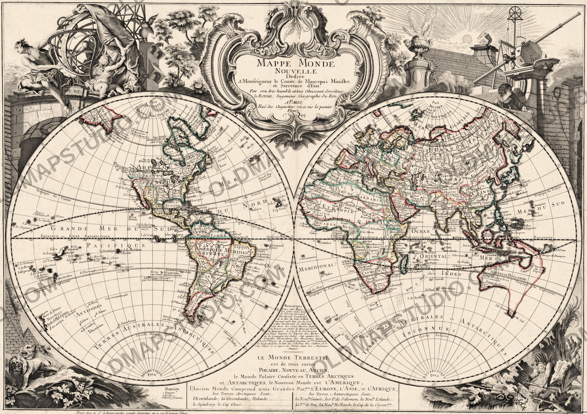
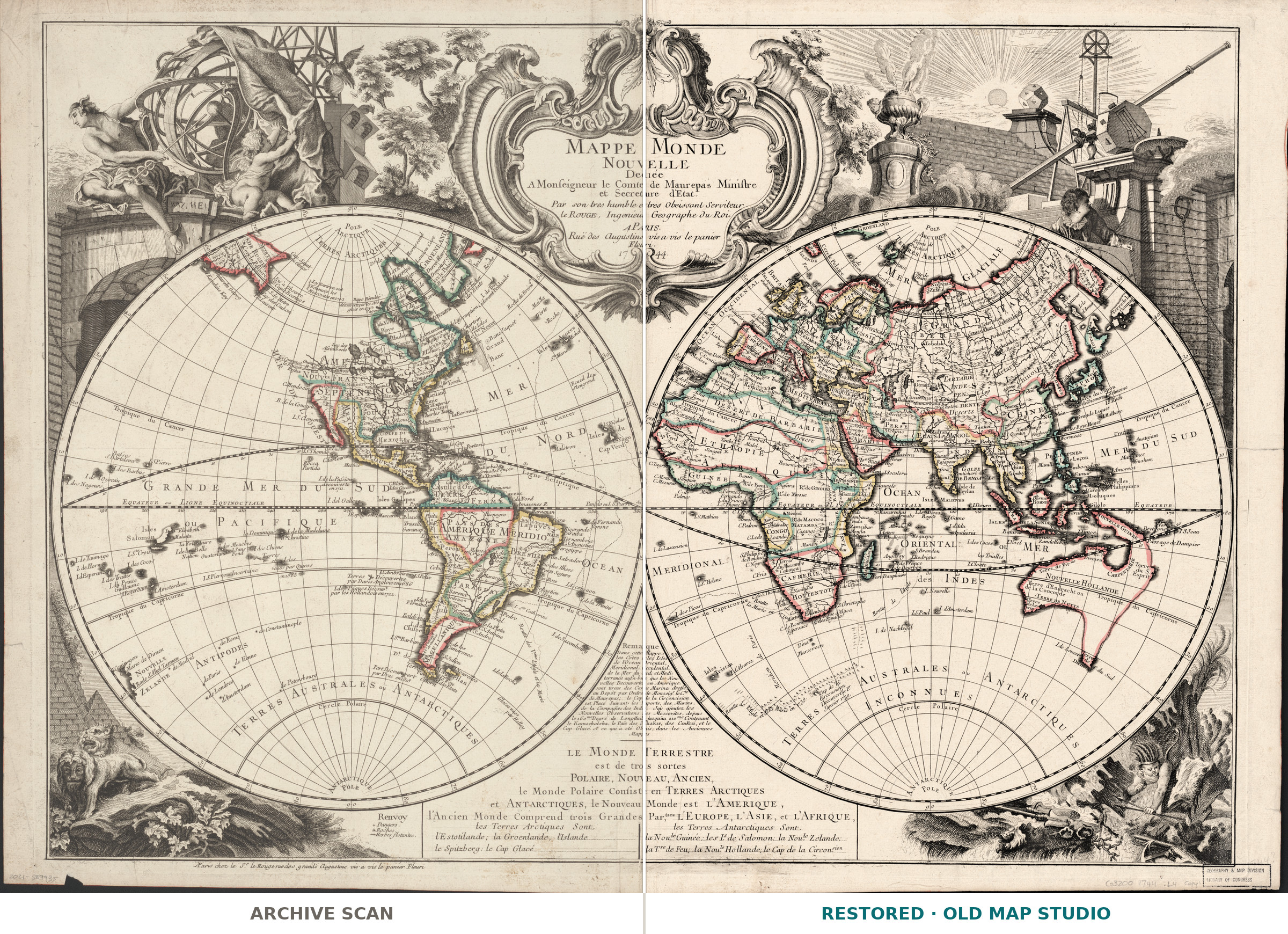
Georges-Louis Le Rouge published this old world map in Paris in 1744 and sold it from his own shop on the rue des Grands Augustins, whose address is printed on the sheet. The Library of Congress record measures the paper at 55 × 78 cm, with two hemispheres of 36 cm each: a wall sheet, not a book plate. Restored, the full sheet prints to 78 cm at 300 dpi, the width of the original.
What the record states
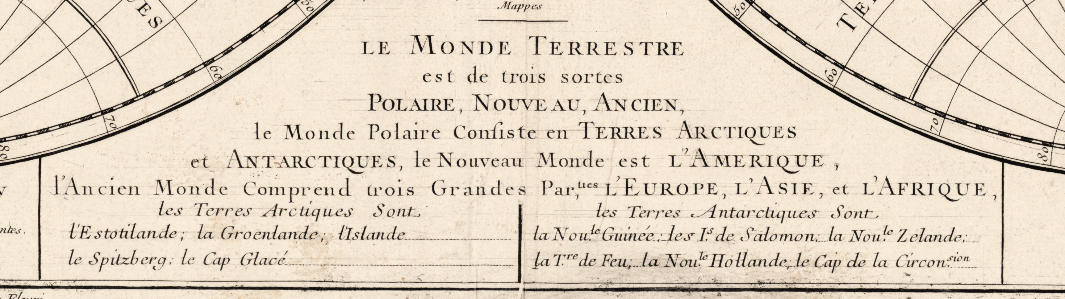
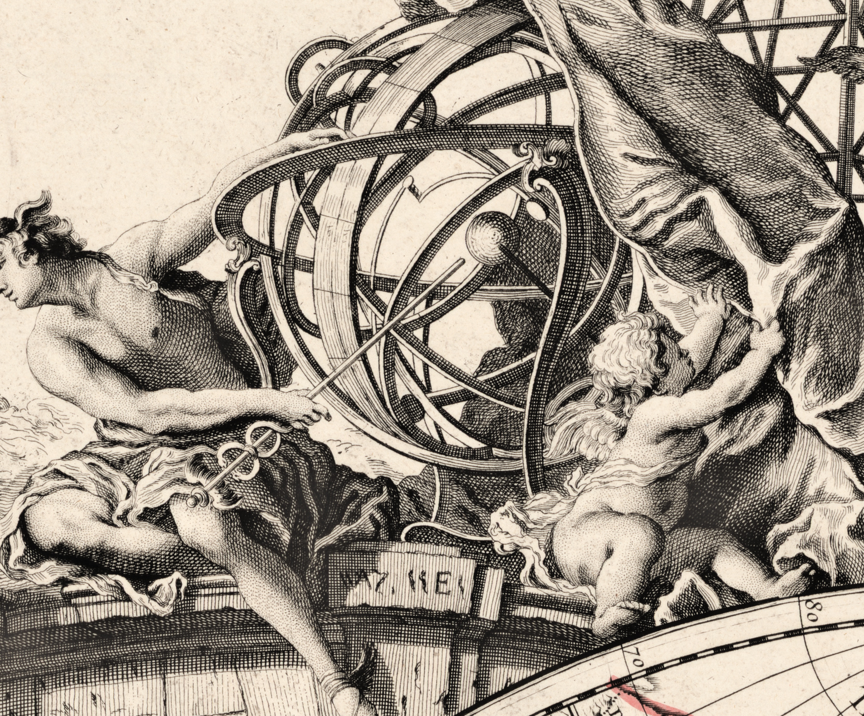
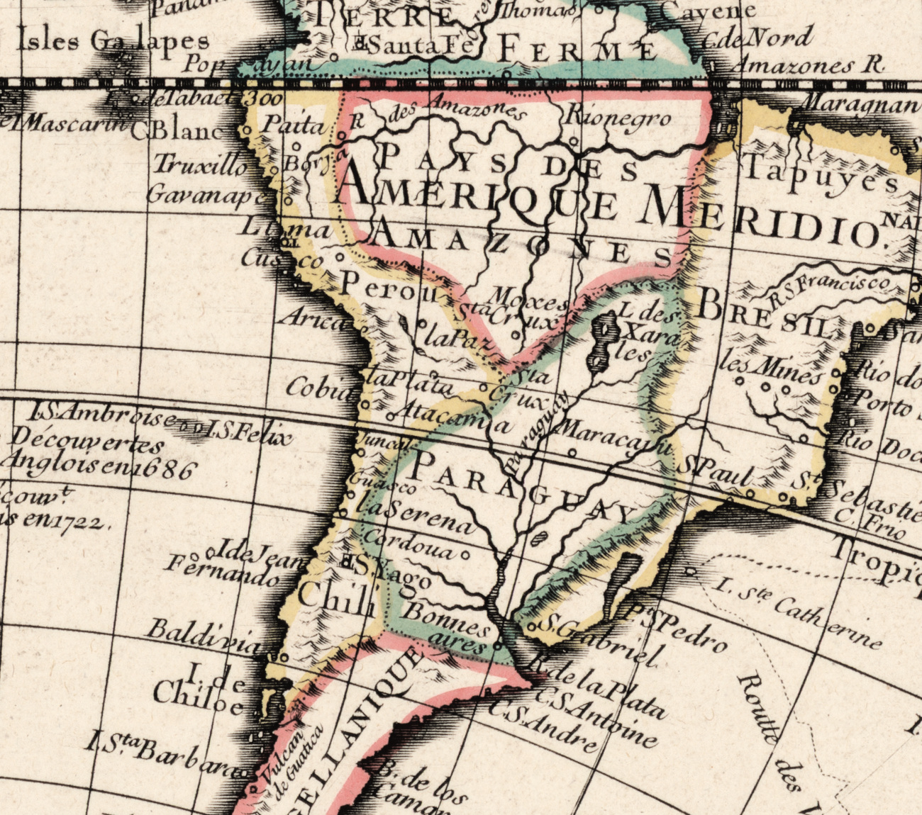
Two hemispheres side by side, with text and illustrations in the corners. Relief is shown pictorially — mountains drawn as small raised forms rather than by contour or shading — and the coloring was laid on by hand when the sheet was sold. The record names no engraver, no printing technique and no atlas, so those three lines stay blank in the specifications rather than guessed.
A title that dates itself
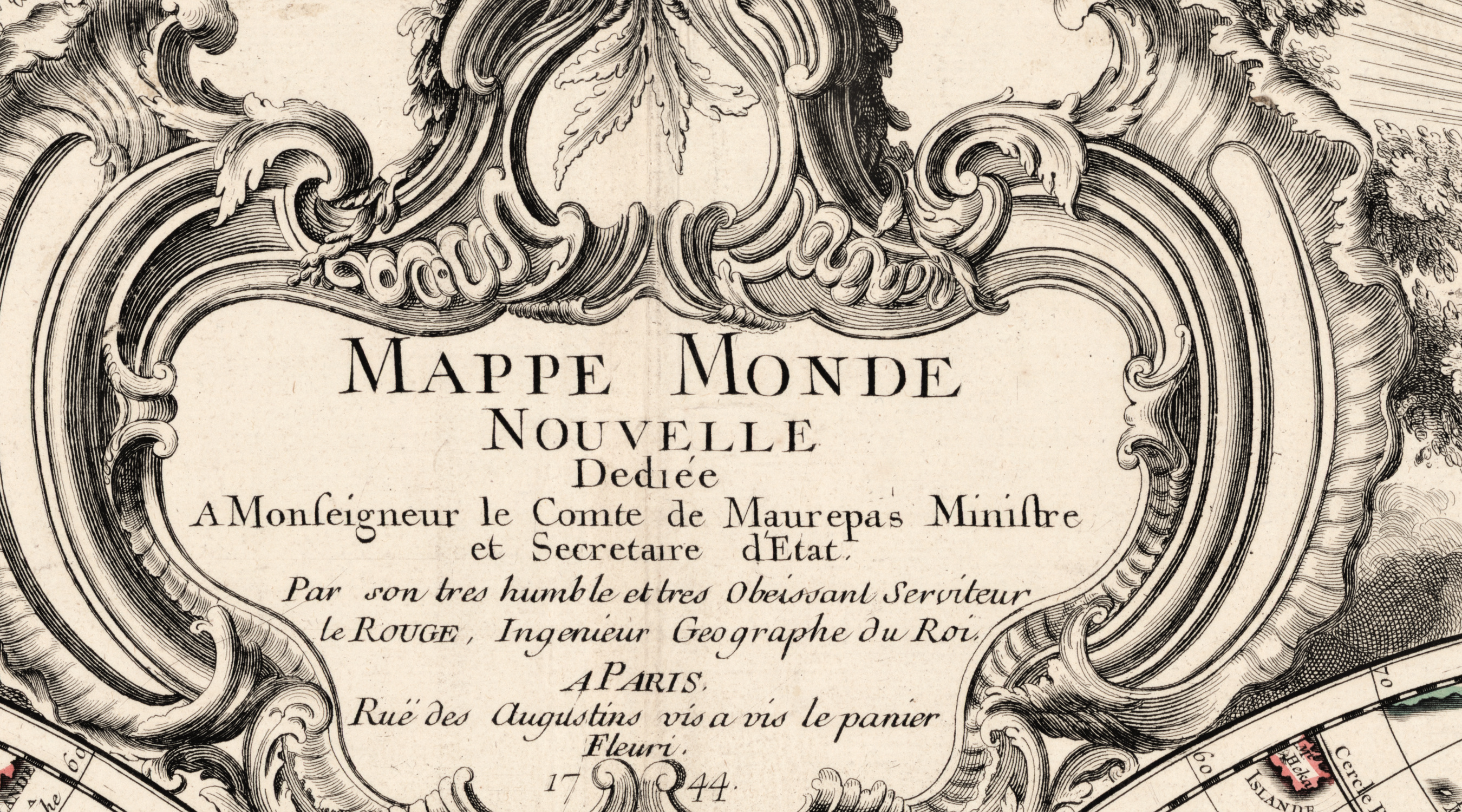
The record names Le Rouge as both cartographer and publisher, so the sheet was drawn, printed and sold by one house. The title carries the selling line of the Paris trade — Mappe Monde Nouvelle — and that one word dates it as firmly as the address does, because a map stays new only while its edition is current.
Your file
| Restored master, px | 9236 × 6405 full sheet · 8636 × 6102 inside the printed border |
| Print size at 300 dpi | the map prints to 73 cm, the full sheet with margins to 78 cm |
| Aspect ratio and orientation | 1.44 full sheet · 1.42 inside the printed border, landscape |
| File format | JPEG, quality 96, 4:4:4 chroma, sRGB with embedded profile, 300 dpi |
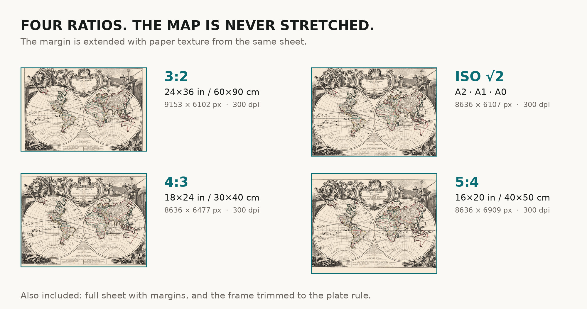
| Crops, one archive each | full sheet · trimmed to the border · 3:2 · 4:3 · 5:4 · ISO A |
| Inside every archive | the JPEG, the restoration passport as a PDF, and a READ ME |
Two print numbers, because you receive two crops of one scan: 73 cm measured inside the printed border, 78 cm across the full sheet with its margins. Both come from one restored master: nothing is enlarged.
How to print it
- Ask for a matte or lightly textured fine-art paper rather than gloss — hand coloring reads badly under gloss.
- Print in sRGB and ask the shop not to auto-correct the color: the warm paper tone is part of the restoration.
- If your frame is a standard size, take the crop that matches it. The map is never stretched — the margin is extended instead.
- Where to print it: print shops near you and checked prices at online labs.
Where the scan comes from
Library of Congress, Geography and Map Division, shelfmark G3200 1744 .L4, LCCN 2021589935, with no rights advisory on the item. Every map is a scan of a real sheet held in a named archive — library, shelfmark and year, all stated. Nothing generated, nothing redrawn. Catalogue record: Library of Congress →
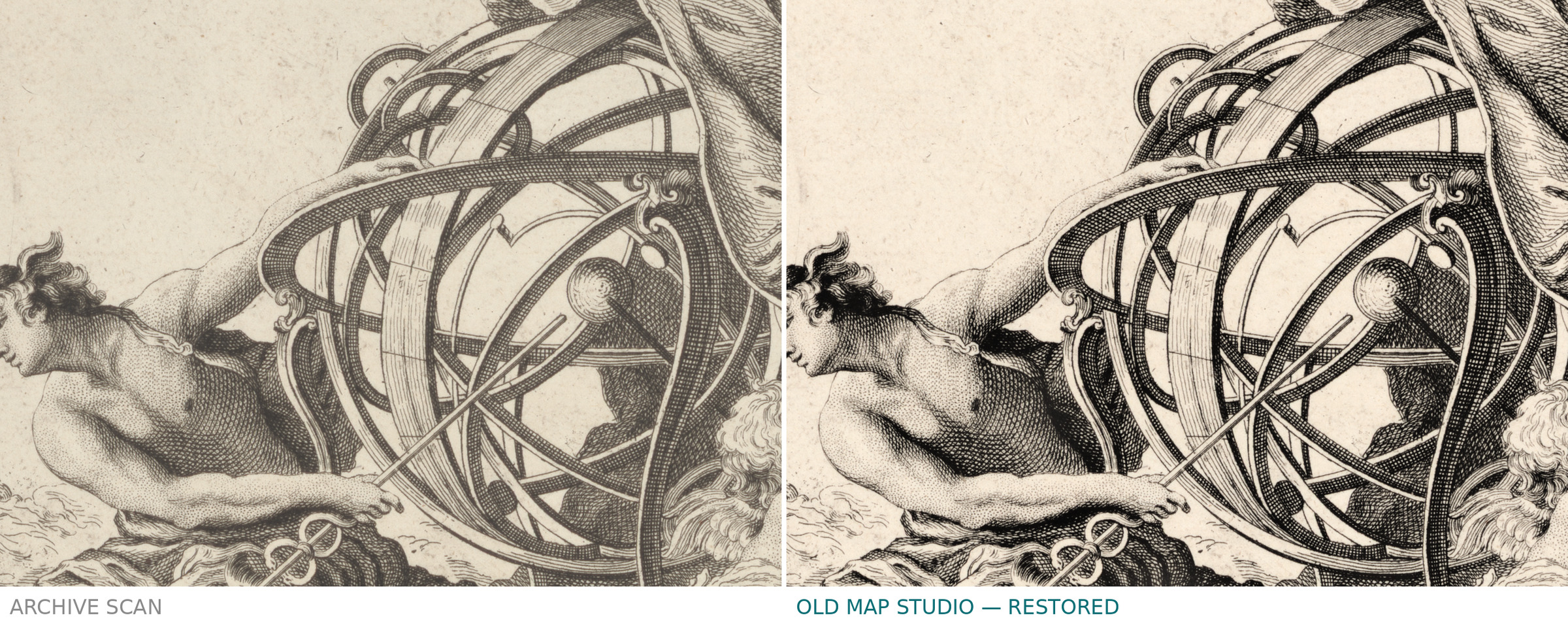
Here the work was cleaning and paper tone only: the engraved image was not retouched, and nothing had to be taken off the printed area.
Questions we get
What exactly do I get after payment?
Six separate downloads, one per crop. Each archive holds the JPEG at 300 dpi, the restoration passport as a PDF and a READ ME with archive, shelfmark and rights. There is no TIFF master in the package.
How large can I print it?
The map prints to 73 cm (29 in) on its long side, the full sheet with its margins to 78 cm (31 in), both at 300 dpi.
Is this a real old map or a generated picture?
A restored scan of the sheet held under G3200 1744 .L4 — open that record and compare it with the file. That is why we name the shelfmark.
Why is the color uneven in places?
It was laid on by hand in the eighteenth century, over a printed sheet. Evening it out would mean painting over the original.
Features
- French
Attachments
Reviews
No reviews found
See also
-
 Antique World Map c. 1739 — Delisle, Hemisphere Meridional
-
Antique World Map 1810 — Sherwood, Neely and Jones
-
Antique World Map c. 1740 — Delisle, Hemisphere Septentrional
-
Antique World Map 1752 — Robert de Vaugondy, Orbis Vetus
-
Antique World Map c. 1807 — Hansteen, Abweichungskarte
-
Antique World Map 1839 — Willard, Universal History