Antique World Map 1757 — The Earth's Western Planisphere
Description
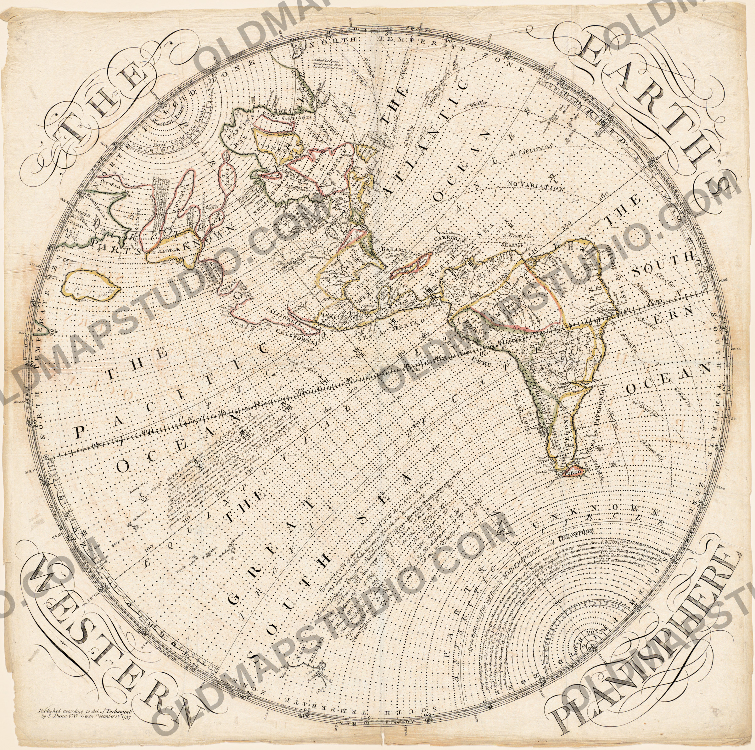
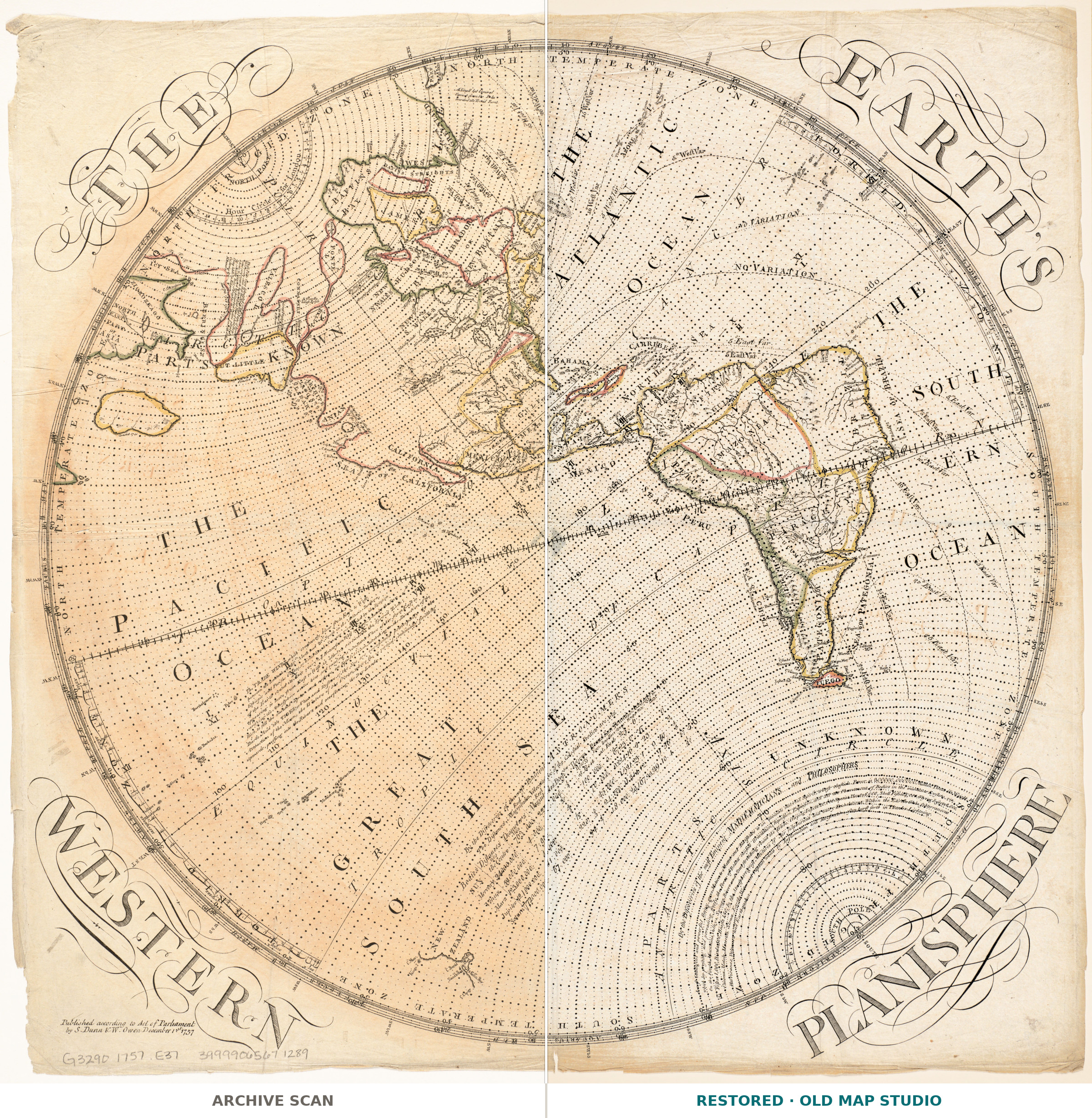
An old world map of 1757 that shows one half of the world, very large
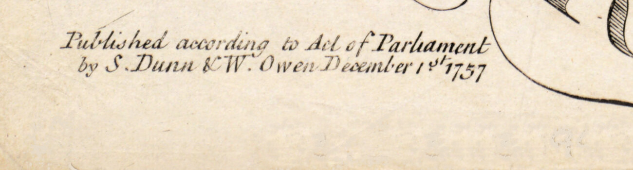
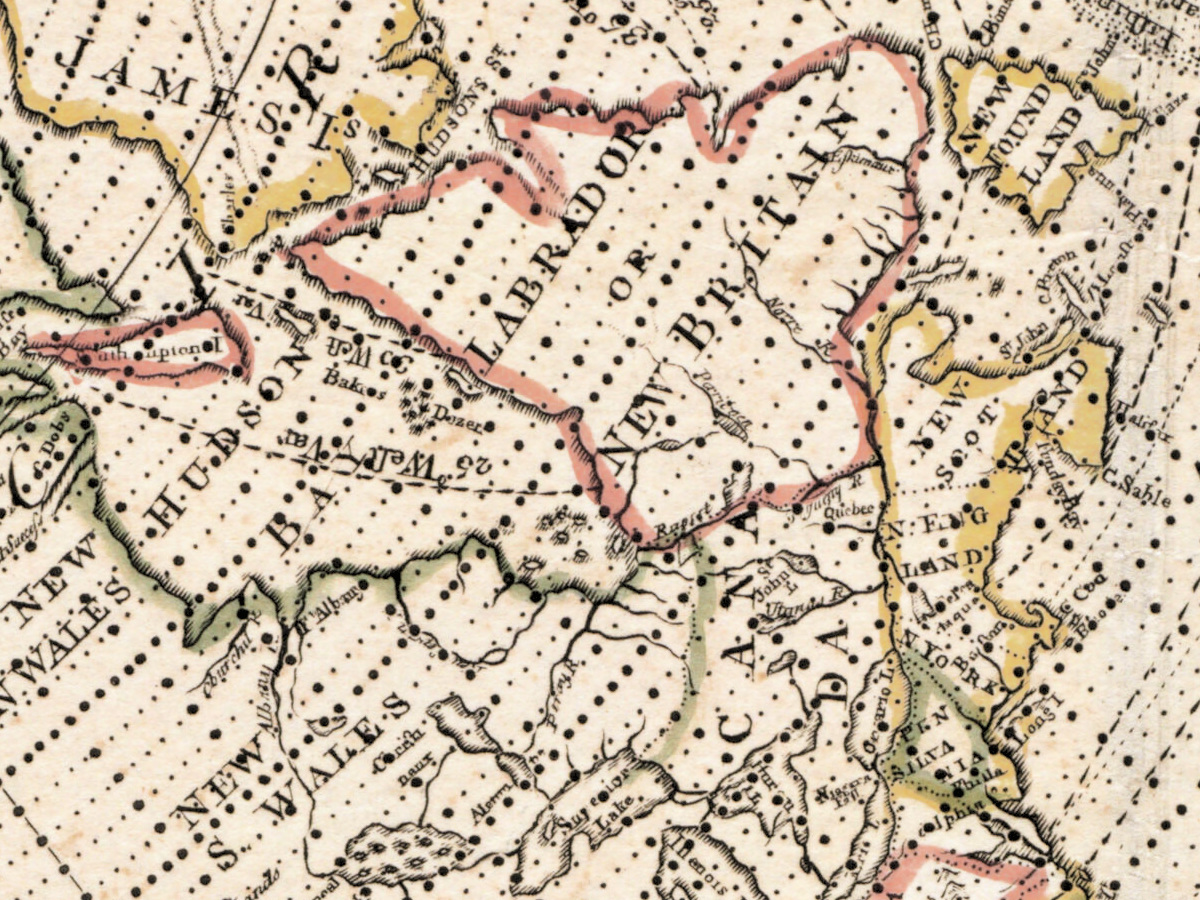
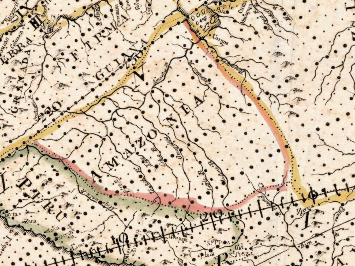
Most sheets of this period give you two circles side by side. This one gives you a single circle 53 cm across on a square sheet of 56 by 56 cm, and spends all that room on the western half of the earth — the Americas, north, central and south, with the oceans on either side of them. It was published in London in 1757 by S. Dunn and W. Owen, "according to Act of Parliament", which is the copyright formula of the day. The scale is given in the catalogue as about 1:50,000,000 at the equator.
What is printed around the circle
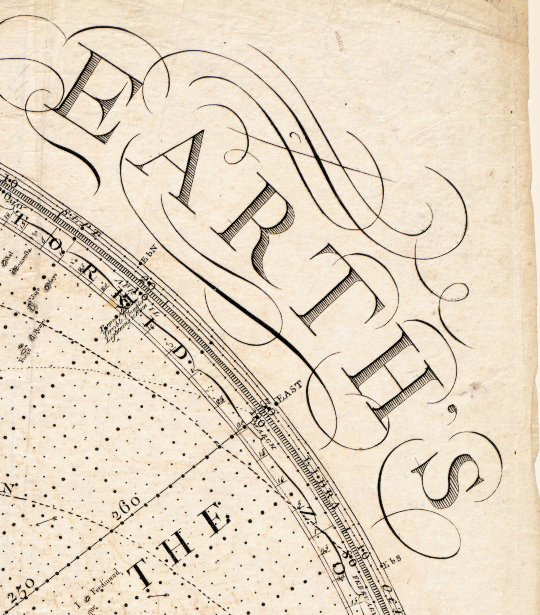
The map is not only a map. The record lists what shares the sheet with it: the climatic zones, the compass variations — that is, how far the magnetic needle strays from true north in different seas — the declination of the sun through the year, a set of explanatory notes, and a table of statistics of the celestial bodies. Relief is drawn pictorially, in the raised hill symbols of the century. Put together, the sheet is a lesson in physical geography and astronomy wrapped around a hemisphere, which is why it reads as well on a study wall as on a map wall.
Who made it, and what the record does not say
The catalogue names S. Dunn and W. Owen as the publishers and stops there. It does not name a cartographer, an engraver, or an atlas the sheet was bound into, so we name none of them either: the field for cartographer in the specification below is left empty rather than filled with a guess. What the record does state is the copy: hand-colored, held by the Boston Public Library in the Norman B. Leventhal Map & Education Center collection, call number G3290 1757 .E37.
Your file
| Original | published by S. Dunn & W. Owen, London, 1757, hand-colored |
| Sheet | 56 × 56 cm, a single circle 53 cm in diameter |
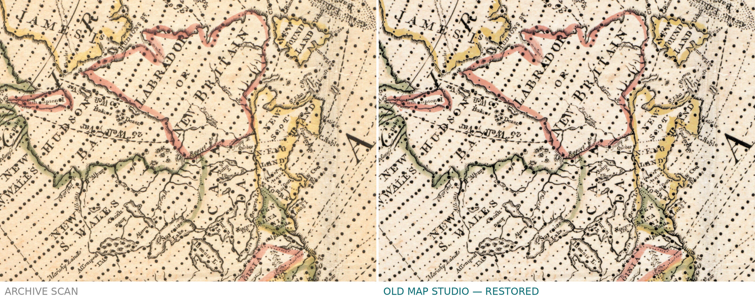
| Scan | full sheet 7152 × 7098 px; the map inside the trimmed border 7093 × 7043 px. From the library's own scan, not an upscale |
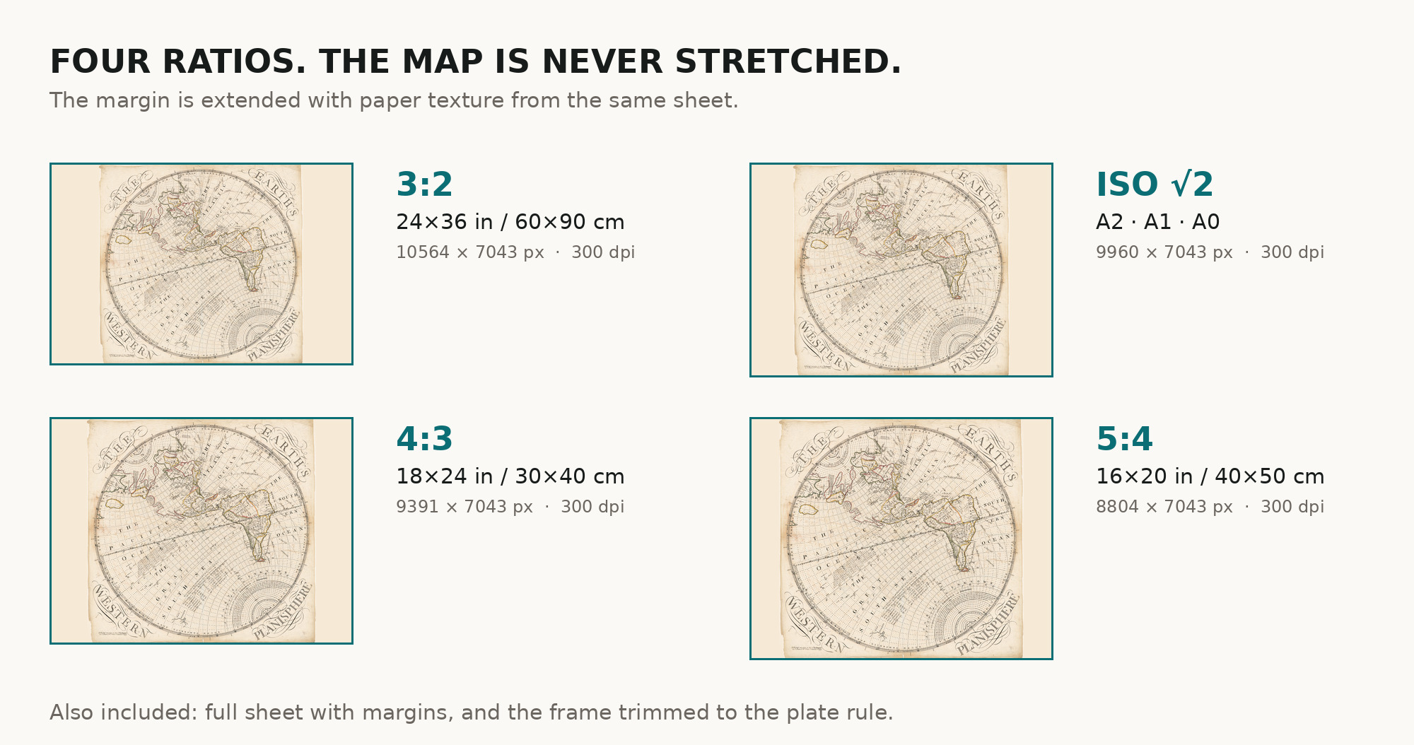
| Print size at 300 dpi | the map prints to 60 cm (23 in) on the long side, and the full sheet with its margins comes to the same 60 cm |
| You download | six ZIP archives: full sheet, trimmed, 3:2, 4:3, 5:4 and ISO A |
| Inside each one | one JPEG at 300 dpi, the restoration passport as a PDF, a READ ME |
How to print
- Print at 300 dpi at the size above and do not let the shop scale the file up.
- The sheet is square, so the full and trimmed archives suit a square frame best — the 3:2 and 4:3 versions add paper-toned margin rather than cutting the circle.
- Ask for matte fine-art paper, printed in sRGB with auto-enhancement off.
- Where to print it: print shops near you and checked prices at online labs.
Source and rights
Boston Public Library, Norman B. Leventhal Map & Education Center, call number G3290 1757 .E37. The library records no known copyright restrictions and no known restrictions on use. The archive and the shelfmark are named in the passport inside every ZIP. Catalogue record: Leventhal Map & Education Center →
Questions
What exactly do I get after payment?
Six ZIP archives, each with one JPEG at 300 dpi, the restoration passport as a PDF and a READ ME. There is no TIFF master in the package.
How large can I print it?
Up to 60 cm (23 in) on the long side at 300 dpi, from the resolution of the library's scan, not from an upscale.
Why only one hemisphere?
Because that is the sheet. It was issued as the western planisphere and shows the Americas; the eastern half was a separate plate, which we do not hold.
Who drew it?
The catalogue record names only the publishers, S. Dunn and W. Owen. It gives no cartographer, so we do not name one.
Features
- English
Attachments
Reviews
No reviews found
See also
-
 Antique World Map c. 1675 — Seller, Novissima Totius Orbis
-
Antique World Map 1541 — Fries, Typus Orbis Ptolemaei
-
Antique World Map 1645 — Blaeu, Novvelle et Exacte Description
-
Antique World Map 1641 — Hondius, Nova Totius Terrarum Orbis
-
Antique World Map 1655 — Hondius, Nova Totius Terrarum Orbis
-
Antique World Map 1764 — Bellin, Carte réduite du globe