Antique World Map 1709 — Moll, A New and Correct Map

Description
A world map printed in London in 1709
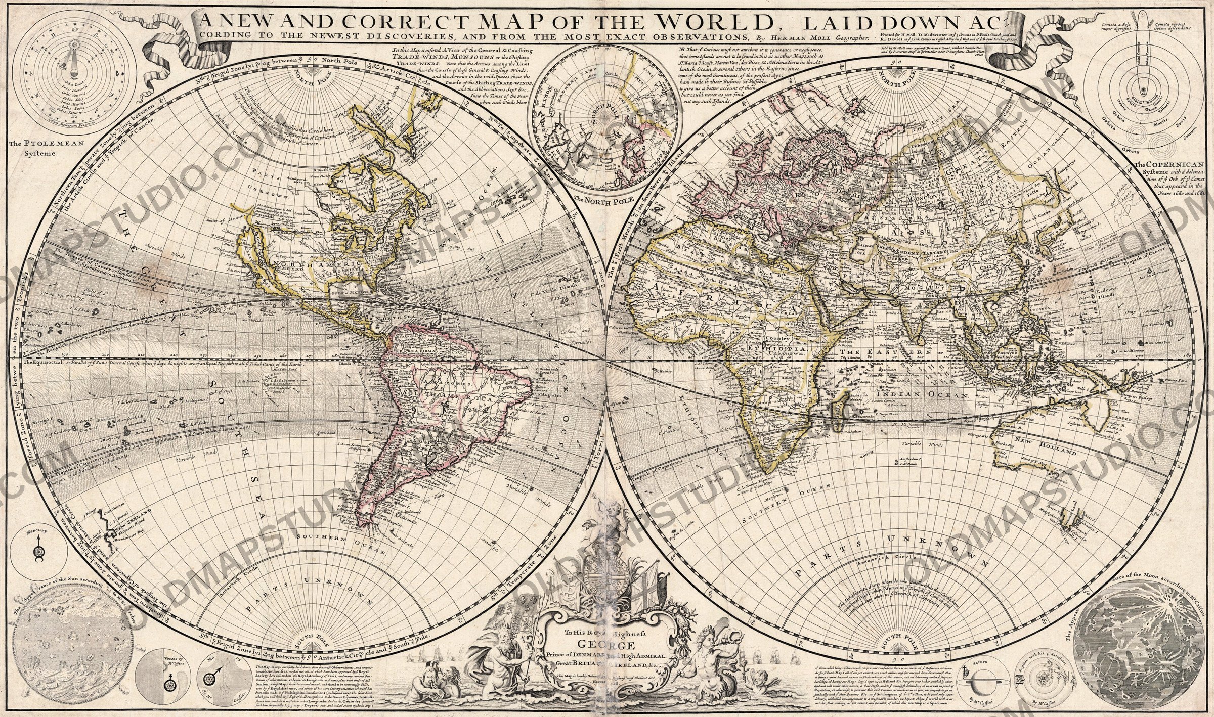
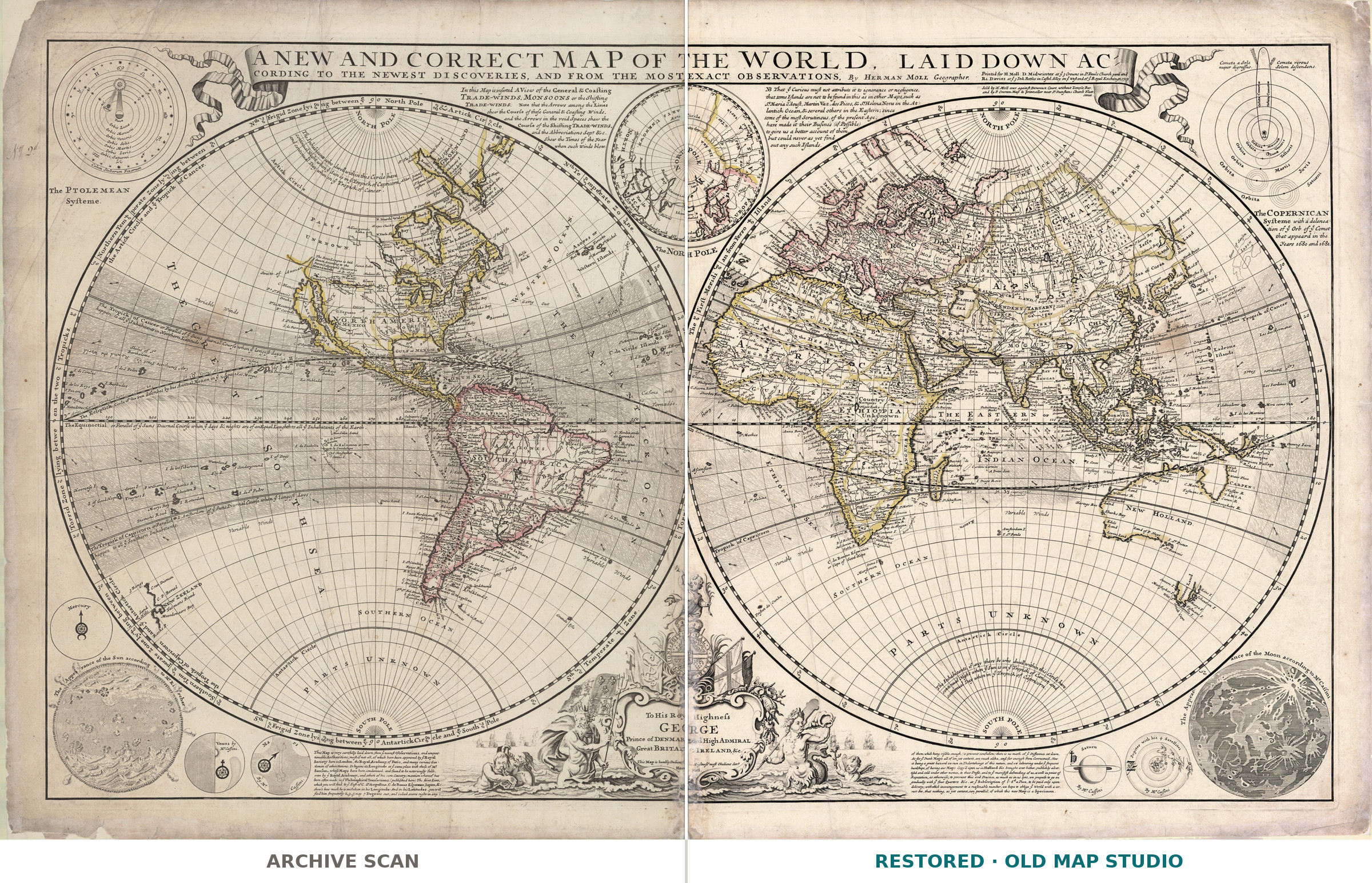
Herman Moll's sheet carries a title that is also its sales pitch: A New and Correct Map of the World, laid down according to the newest discoveries, and from the most exact observations. Moll published it in London in 1709 with the booksellers D. Midwinter and Ri. Davies. The copy scanned here is colored and measures 57 × 98 cm — and the year is the point: 1709 is two generations before Cook.
What the catalogue records, and what the sheet shows
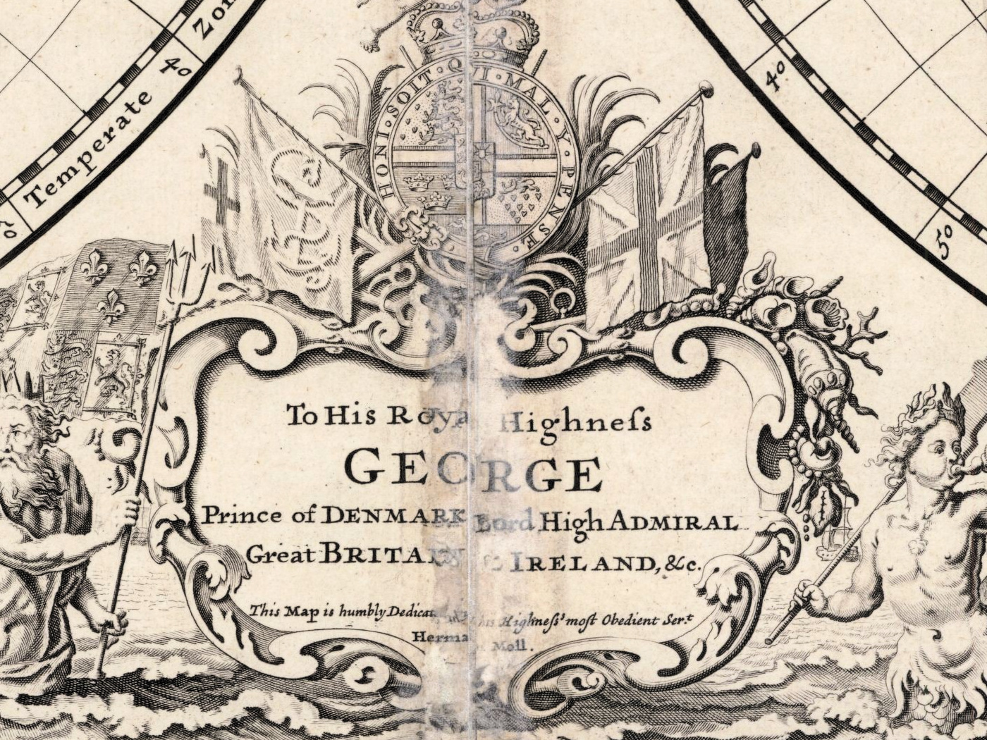
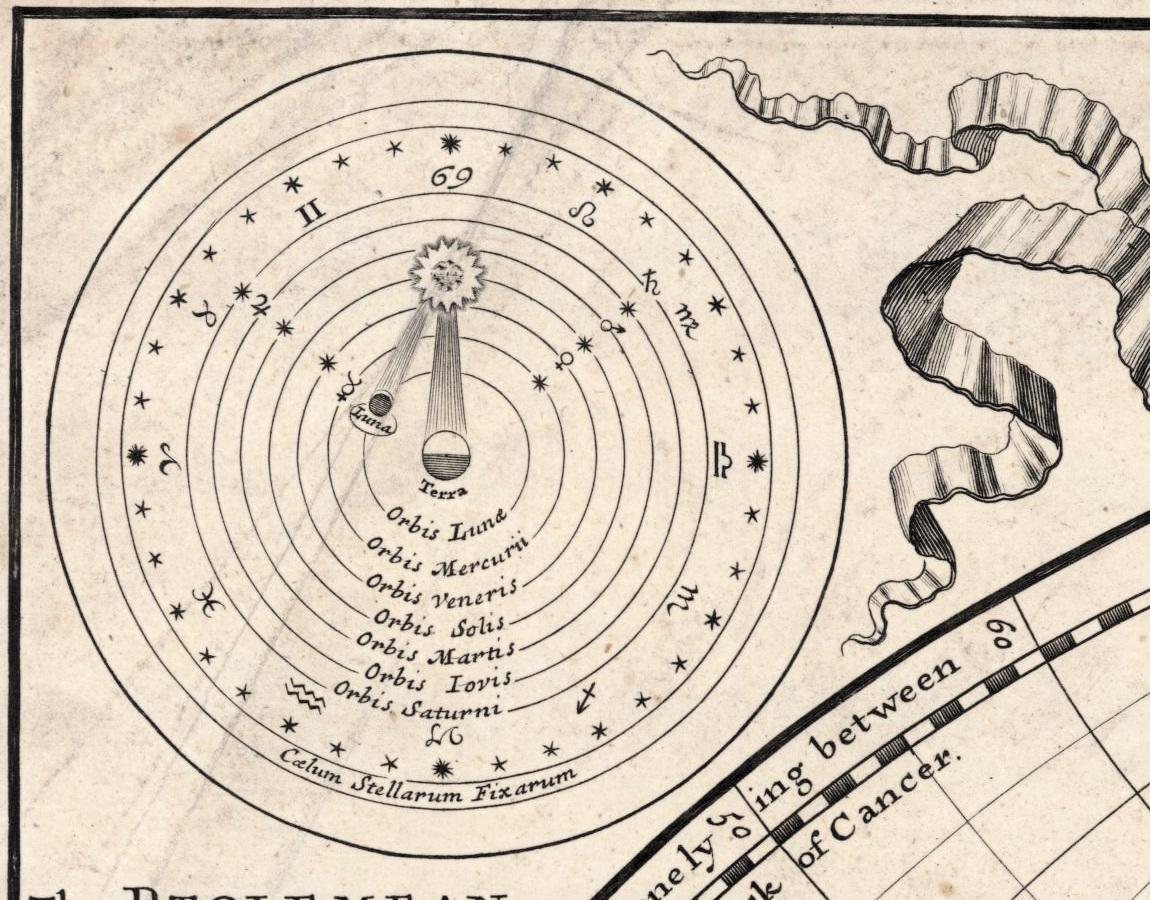
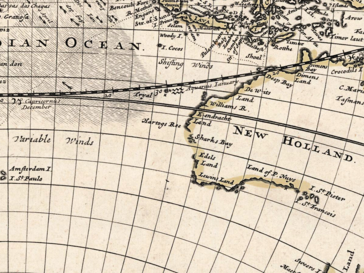
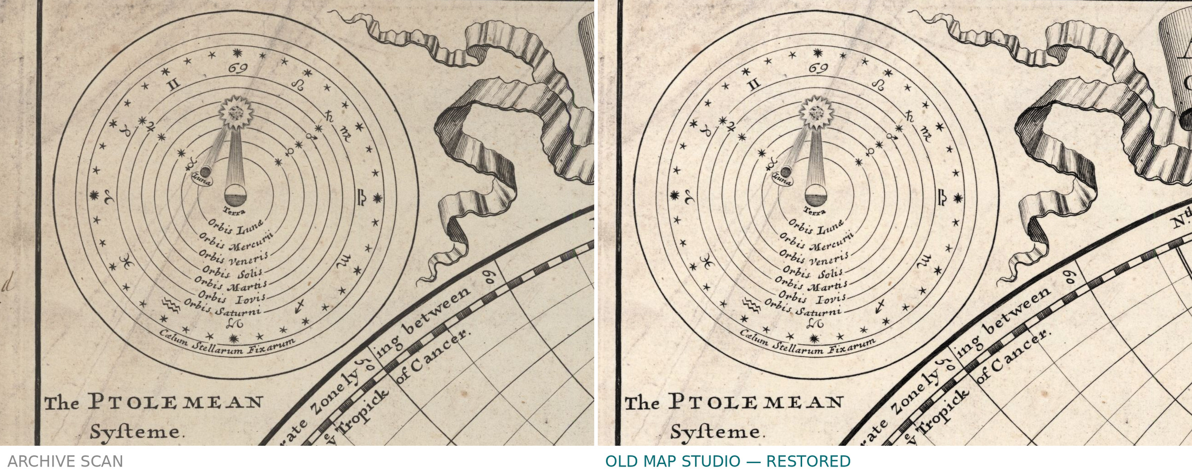
The entry of the National Library of Scotland is short: one map, colored, 57 × 98 cm, shelfmark EMW.X.032(3). It names no projection and no insets, so what follows is read off the sheet itself at full resolution: two hemispheres with polar insets, diagrams of the Ptolemaic and the Copernican systems, a map of the moon, and notes on the trade winds and monsoons set around the hemispheres. The sheet is dedicated to Prince George of Denmark, Lord High Admiral. What the date alone tells you is solid: in 1709 the east coast of New Holland had not been charted and much of the southern Pacific was still guesswork.
Herman Moll and this issue
Moll, who died in 1732, worked in London and signed his maps as their author. The imprint — H. Moll, D. Midwinter, Ri. Davies — is the usual arrangement in which a mapmaker and two booksellers shared the cost of a large plate. 1709 is the year of the sheet we scanned, not necessarily of the first cutting of the plate.
Your file
| Original | Herman Moll, London, 1709, copper engraving, outline hand color |
| Sheet | 57 × 98 cm |
| Scan | 42.1 megapixels, from the library's own scan, not an upscale |
| Print size at 300 dpi | up to 65 cm (26 in) on the long side |
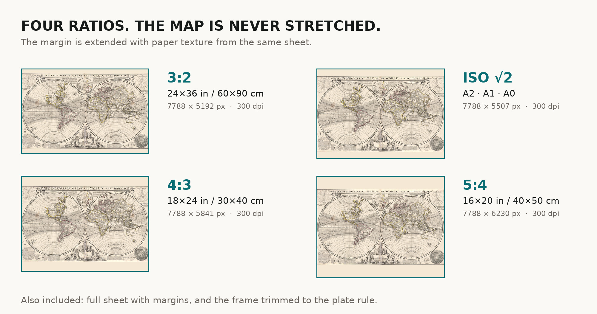
| You download | six ZIP archives: full sheet, trimmed, 3:2, 4:3, 5:4 and ISO A |
| Inside each one | one JPEG at 300 dpi, the restoration passport as a PDF, a READ ME |
How to print
- Print at 300 dpi at the size above and do not let the shop scale the file up.
- Pick the archive whose proportions match your frame, so nothing is cropped or stretched.
- Ask for matte fine-art paper, printed in sRGB with auto-enhancement off.
- Where to print it: print shops near you and checked prices at online labs.
Source and rights
The original is held by the National Library of Scotland, shelfmark EMW.X.032(3). The scan is reproduced with the permission of the National Library of Scotland under a Creative Commons Attribution 4.0 licence, and the library is named in the passport inside every archive. Catalogue record: National Library of Scotland →
Questions
What exactly do I get after payment?
Six ZIP archives, each with one JPEG at 300 dpi, the restoration passport as a PDF and a READ ME. There is no TIFF master in the package.
How large can I print it?
Up to 70 cm (27 in) on the long side at 300 dpi, taken from the resolution of the library's scan, not from an upscale.
A real antique map or a generated picture?
Real. Archive, shelfmark and year are printed above, so you can check our sheet against the library's own record.
Why does it not match a modern world map?
Because it is not one. It records the world as drawn in 1709, blanks and all, and those blanks are the reason to hang it.
Features
- English
Attachments
Reviews
No reviews found
See also
-
 Antique World Map 1799 — Chart of the World
-
Antique World Map 1655 — Hondius, Nova Totius Terrarum Orbis
-
Antique World Map 1816 — Stieler, Planiglob der Antipoden
-
Antique World Map 1645 — Blaeu, Novvelle et Exacte Description
-
Antique World Map c. 1696 — Sanson, Mappe-monde
-
Antique World Map c. 1675 — Seller, Novissima Totius Orbis