Antique World Map 1708 — De la Feuille, Mapemonde Planisphere


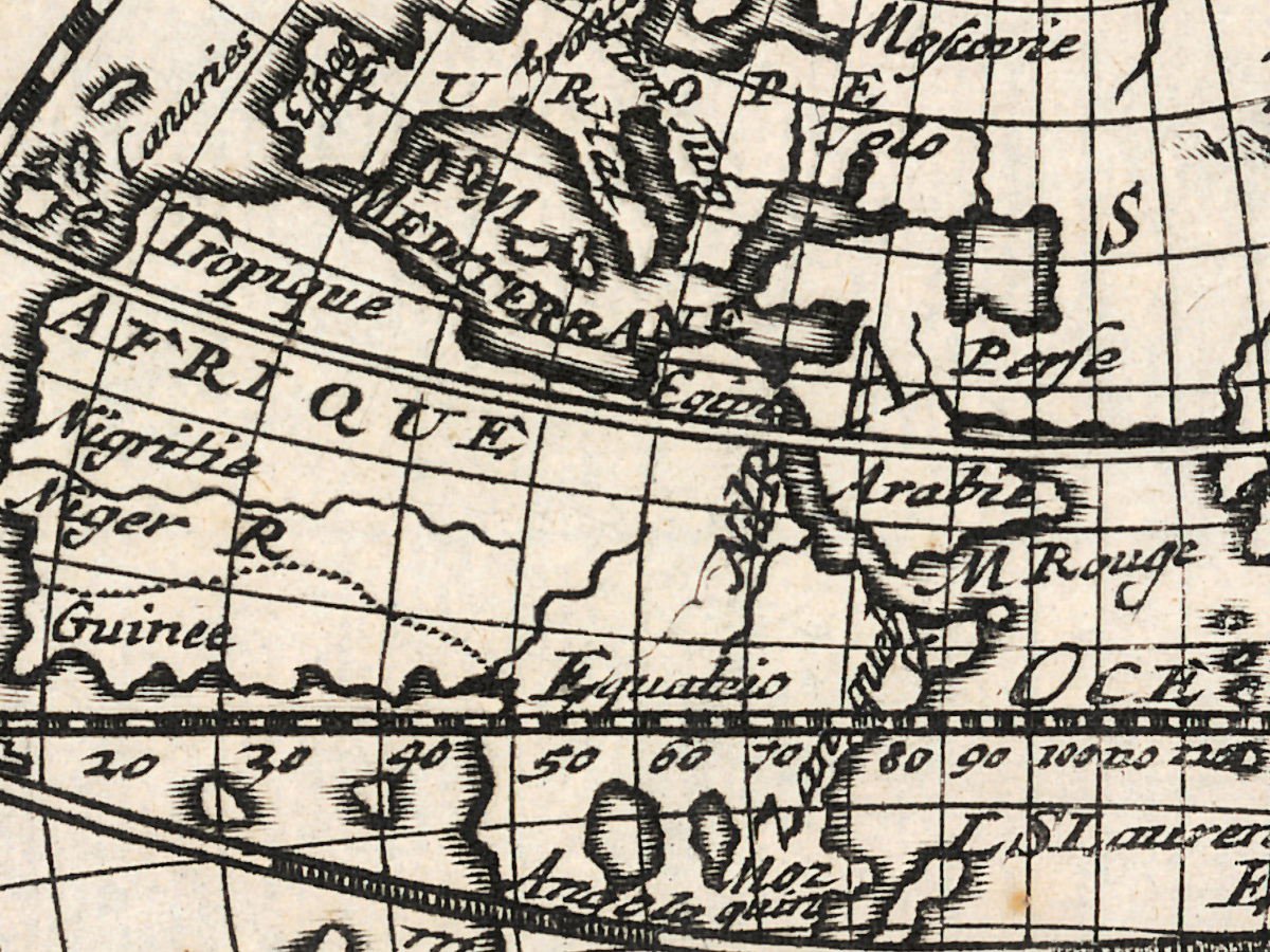
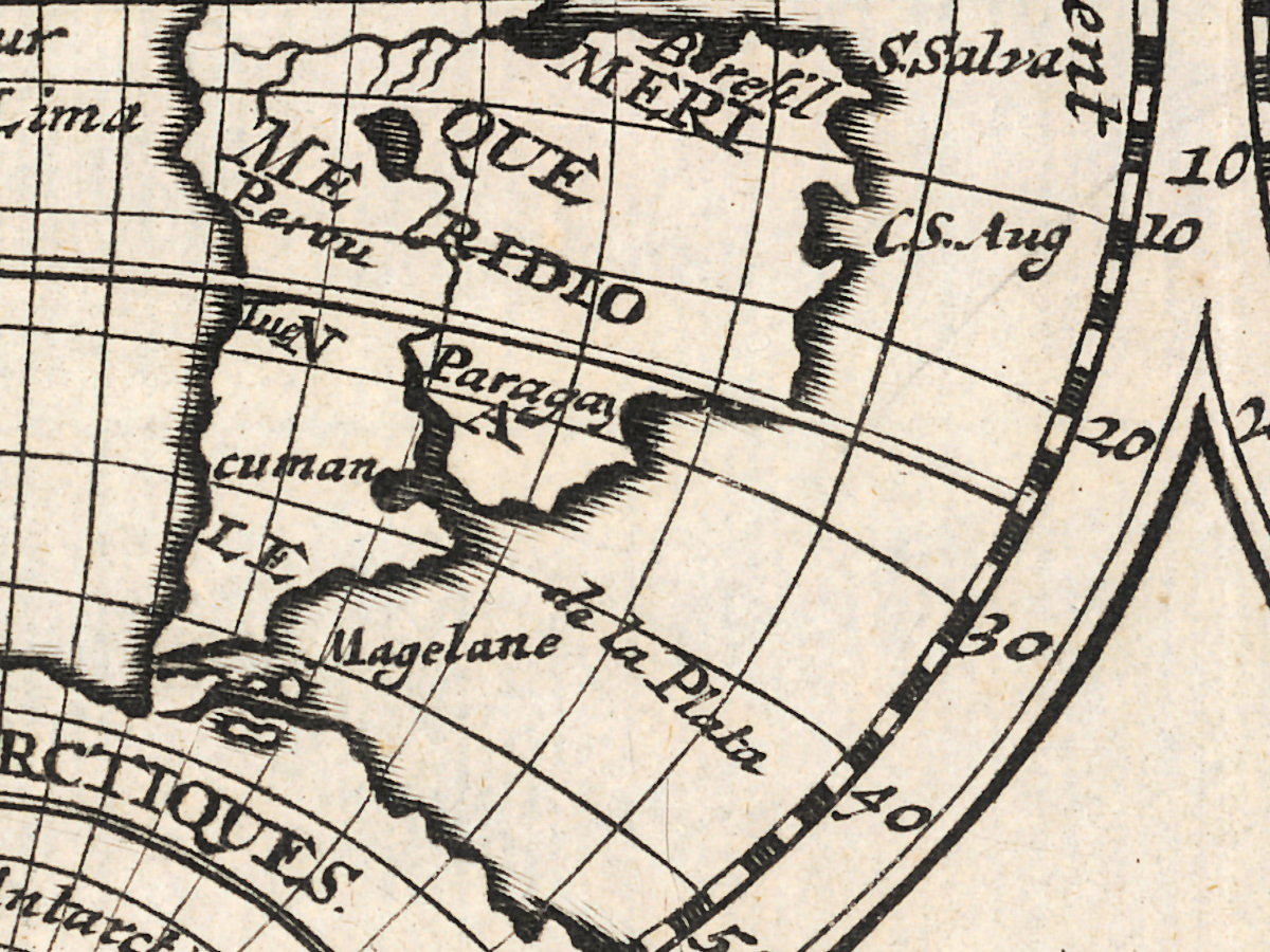
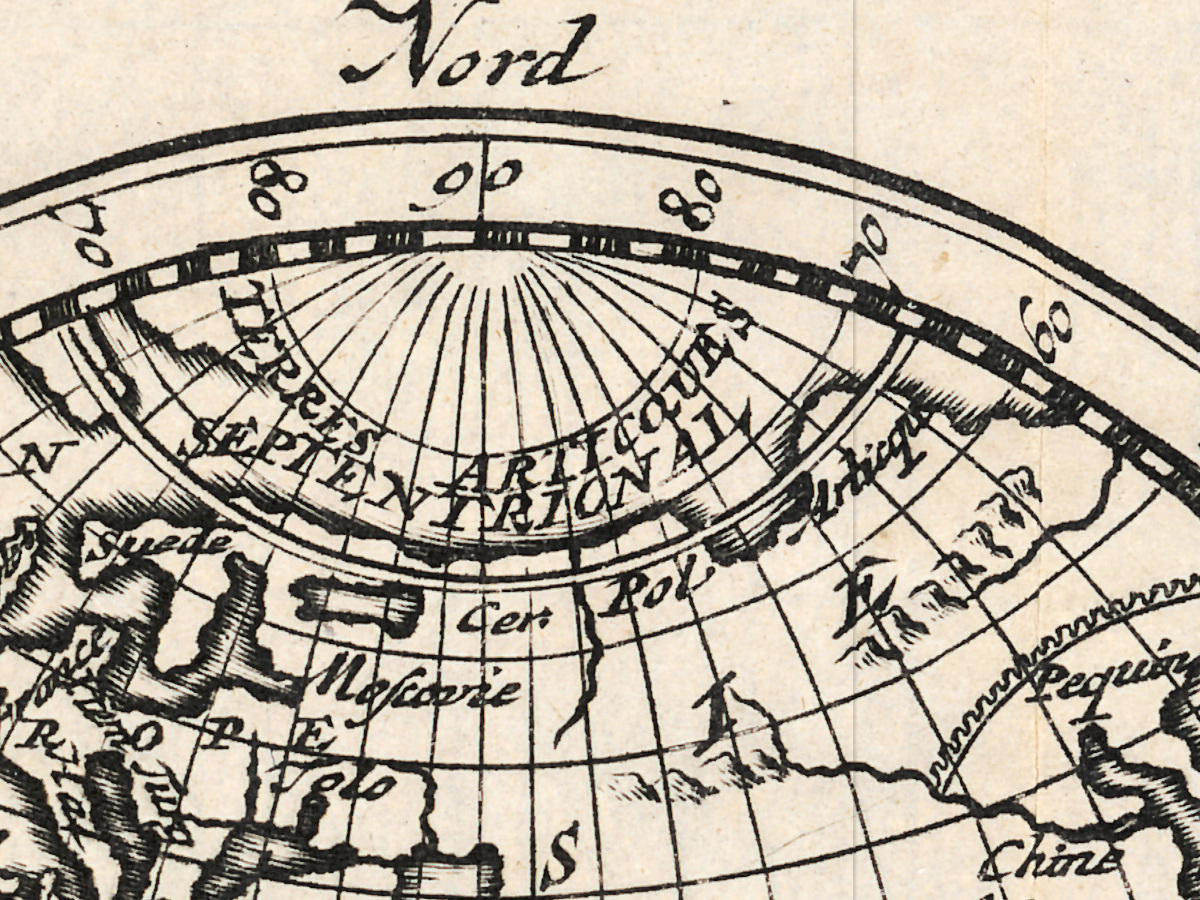
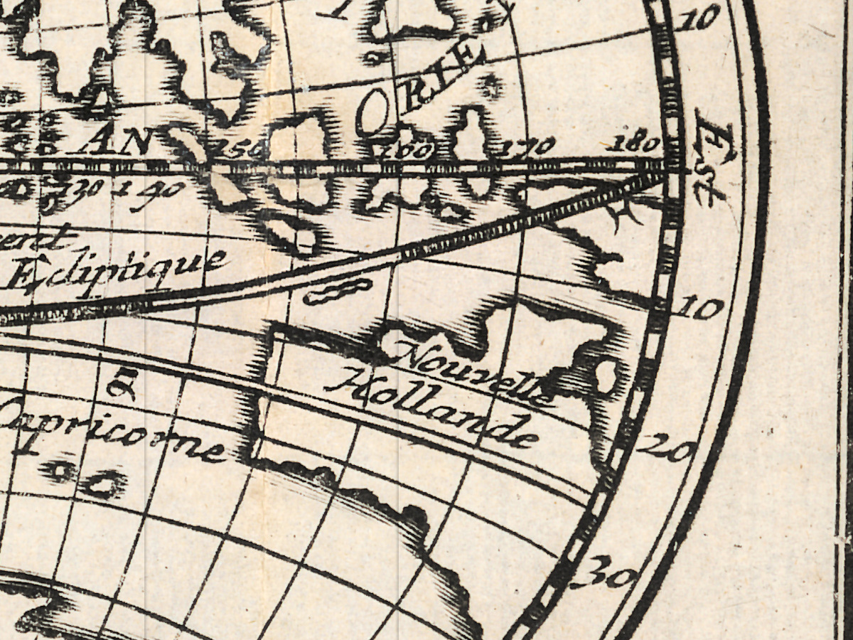
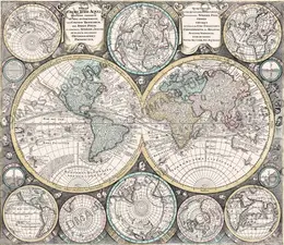
An antique world map from Amsterdam, 1708
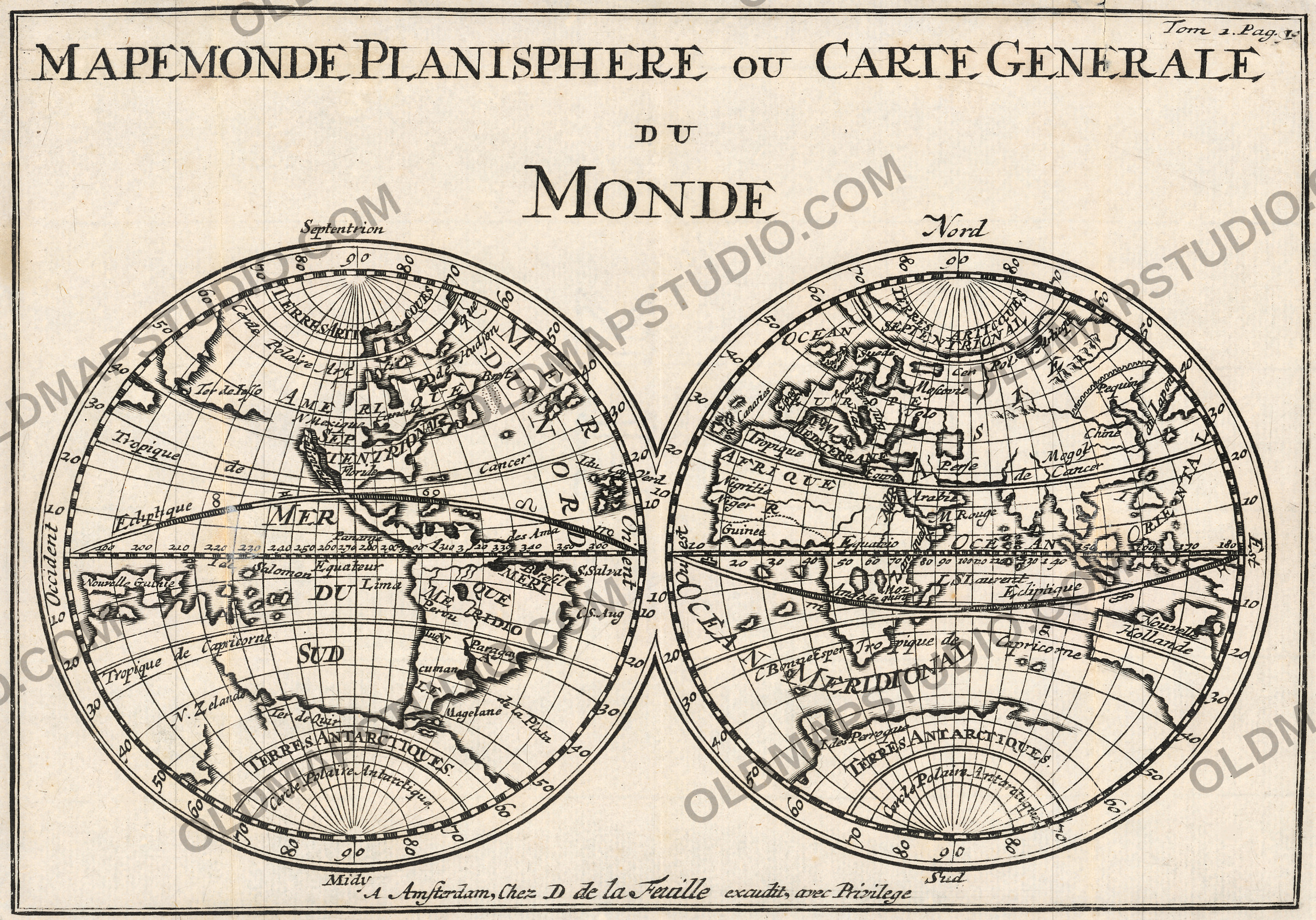
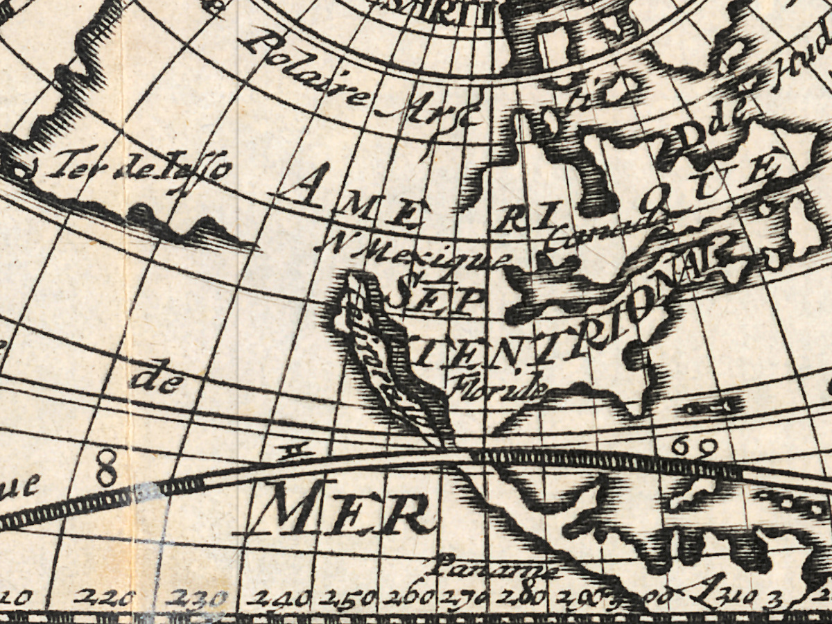
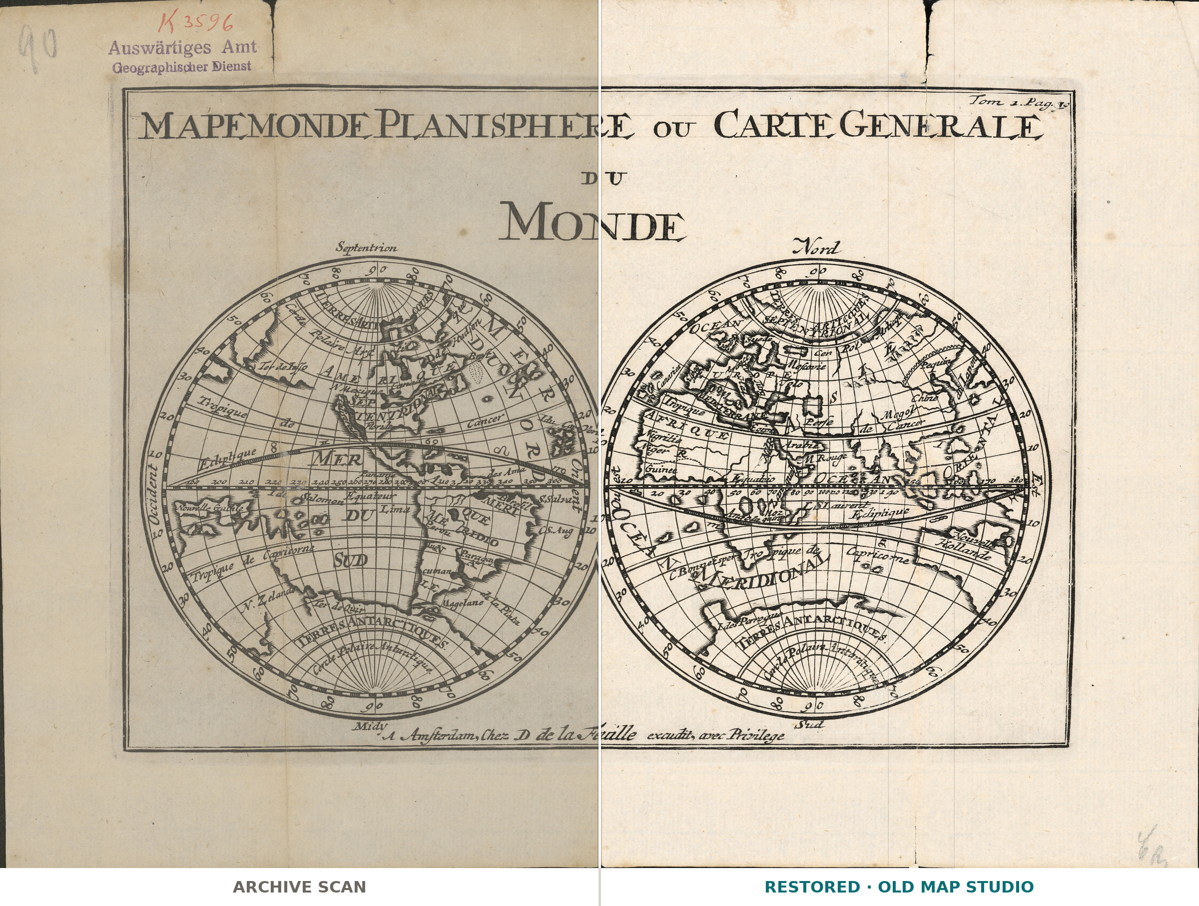
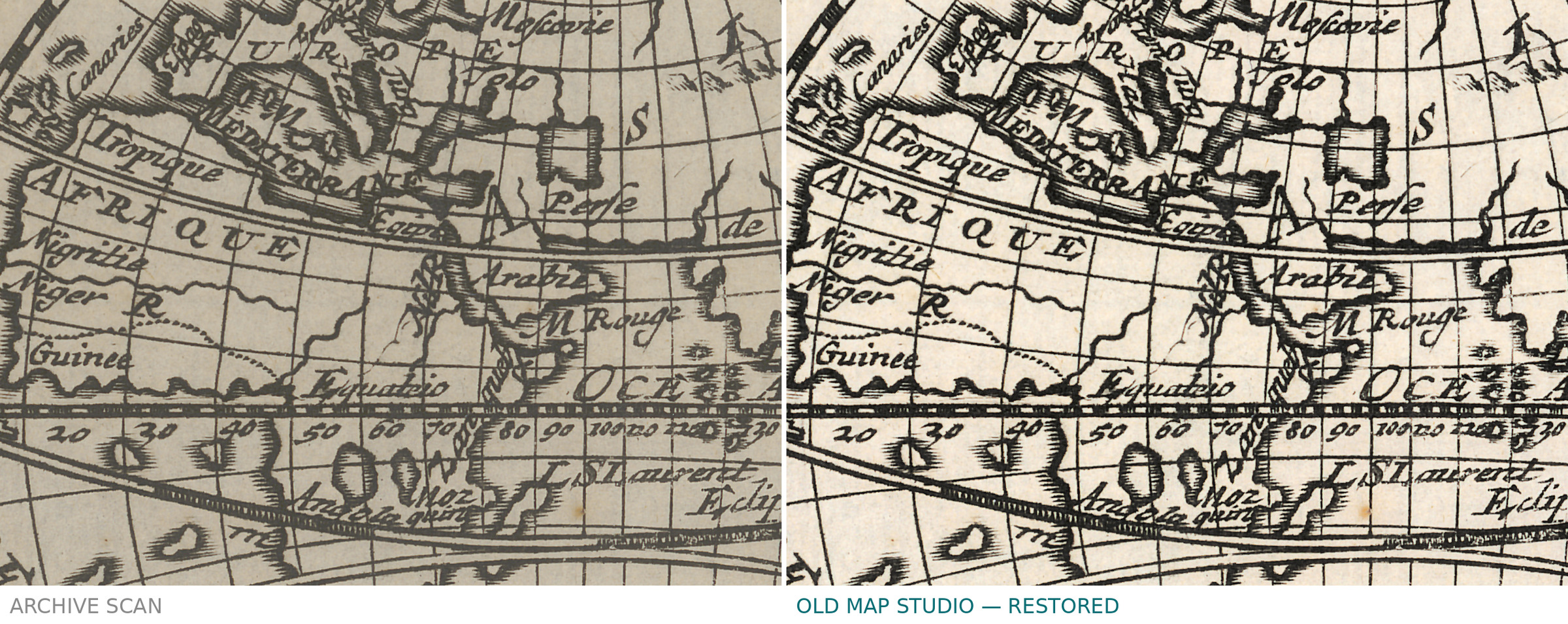
Daniel de la Feuille (1640–1709) published this world map in two hemispheres; the imprint above the lower border reads «A Amsterdam, Chez D. de la Feuille excudit, avec Privilege». The sheet comes from Les tablettes guerrières ou cartes choisies pour la commodité des officiers et des voyageurs, Amsterdam 1708, and, according to the record, carries «Tom 1. Pag. 10.» under the upper border on the right.
The record gives the title as Mapemonde planisphere ou carte generalne du Monde, in French, at a scale of about 1:205,000,000. It is a copper engraving, 15 × 21.5 cm on a sheet of 20 × 28 cm. The record does not say whether the sheet is colored.
Your file
| Original | copper engraving, 15 × 21.5 cm on a 20 × 28 cm sheet, Amsterdam 1708, Biblioteka Narodowa ZZK 5 278 |
| Scan | full sheet 6442 × 4665 px; the map inside the trimmed border 5193 × 3631 px |
| Print size at 300 dpi | the map prints to 43 cm (17 in), the full sheet with margins to 54 cm (21 in) |
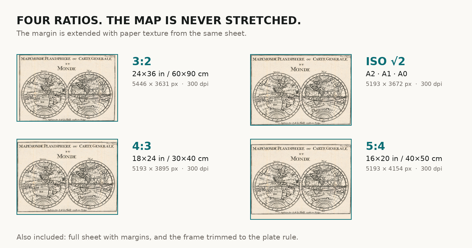
| You download | six ZIP archives: full sheet, trimmed, 3:2, 4:3, 5:4 and ISO A |
| Inside each one | one JPEG at 300 dpi, the restoration passport as a PDF, a READ ME |
How to print
- Pick the archive whose proportions match your frame; ask for matte fine-art paper in sRGB with auto-enhancement off.
- Where to print it: print shops near you and checked prices at online labs.
Source and rights
The file is made from the scan on Polona, the digital library of the National Library of Poland (Biblioteka Narodowa), item 130265759. The library marks it as public domain: it may be copied, changed and shared, commercially too. There is no TIFF master in the package. Catalogue record: Polona →
- French
No reviews found
See also
-
 Antique World Map c. 1508 — Egerton Portolan Atlas, Plate 14
-
Old World Map — Mappemonde de Leipzig, Jomard's Monuments
-
Antique World Map 1715 — Renard, Planisphere
-
Antique World Map 1740 — Seutter, Diversi Globi Terr-Aquei
-
Antique World Map c. 1690 — Morden & Berry, To Capt. John Wood
-
Antique World Map 1579 — Ortelius, Typus Orbis Terrarum