Antique World Map c. 1750 — Izobrazhenie Zemnogo Globusa
Video
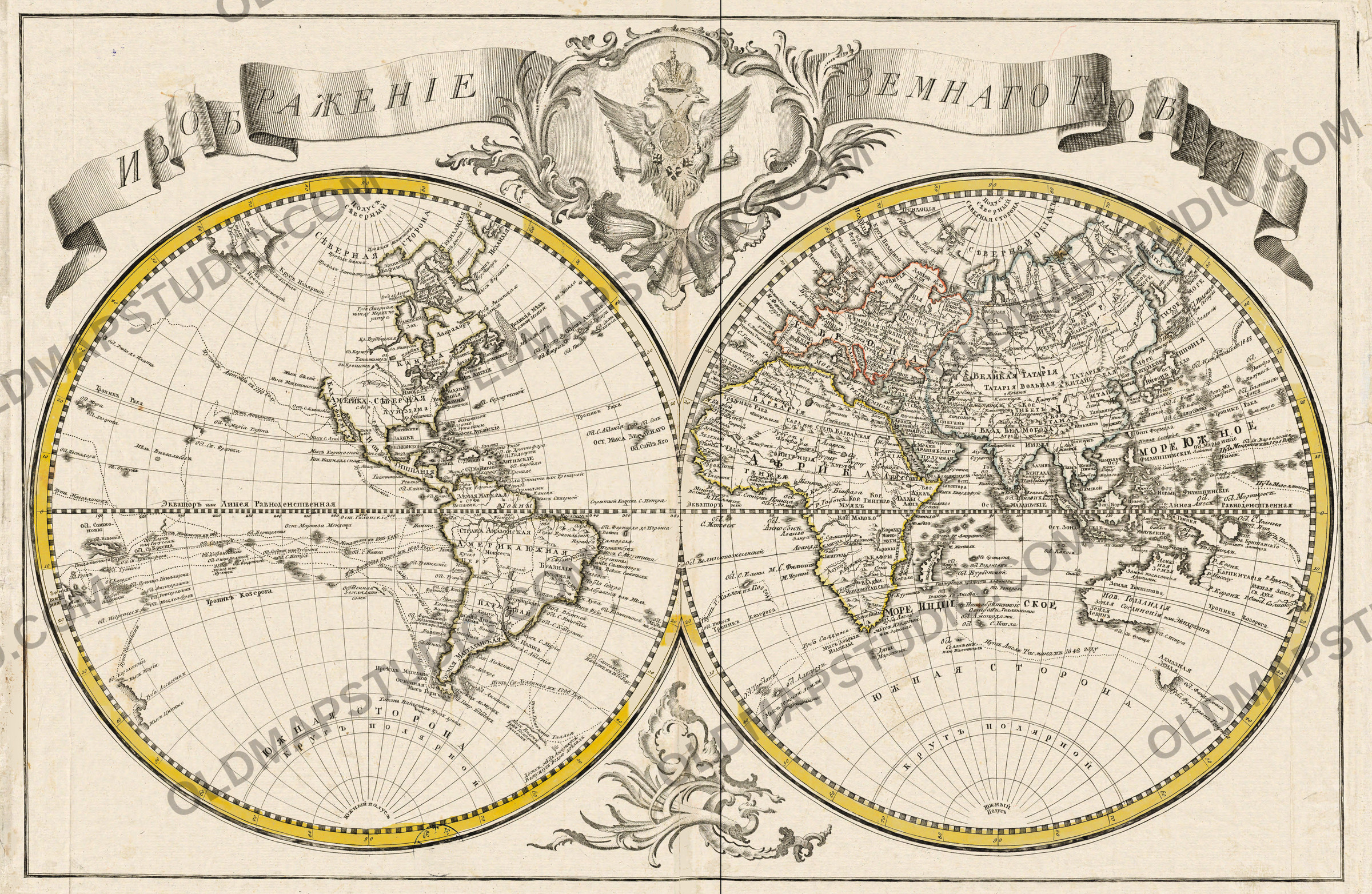
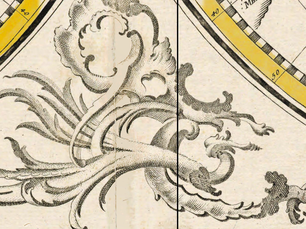
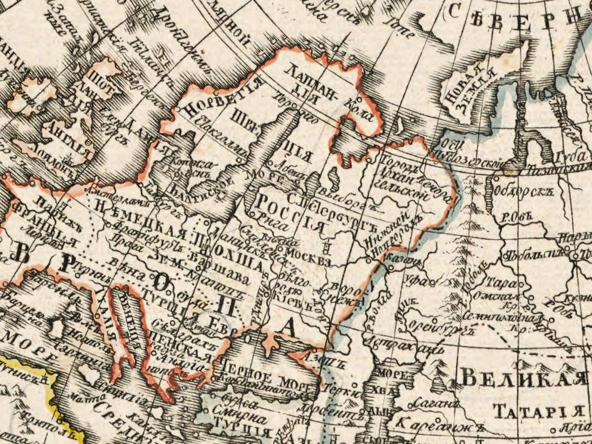
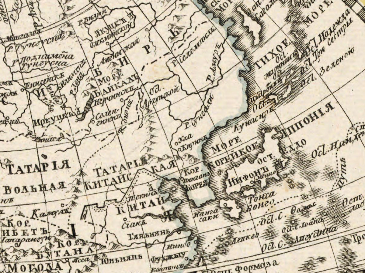
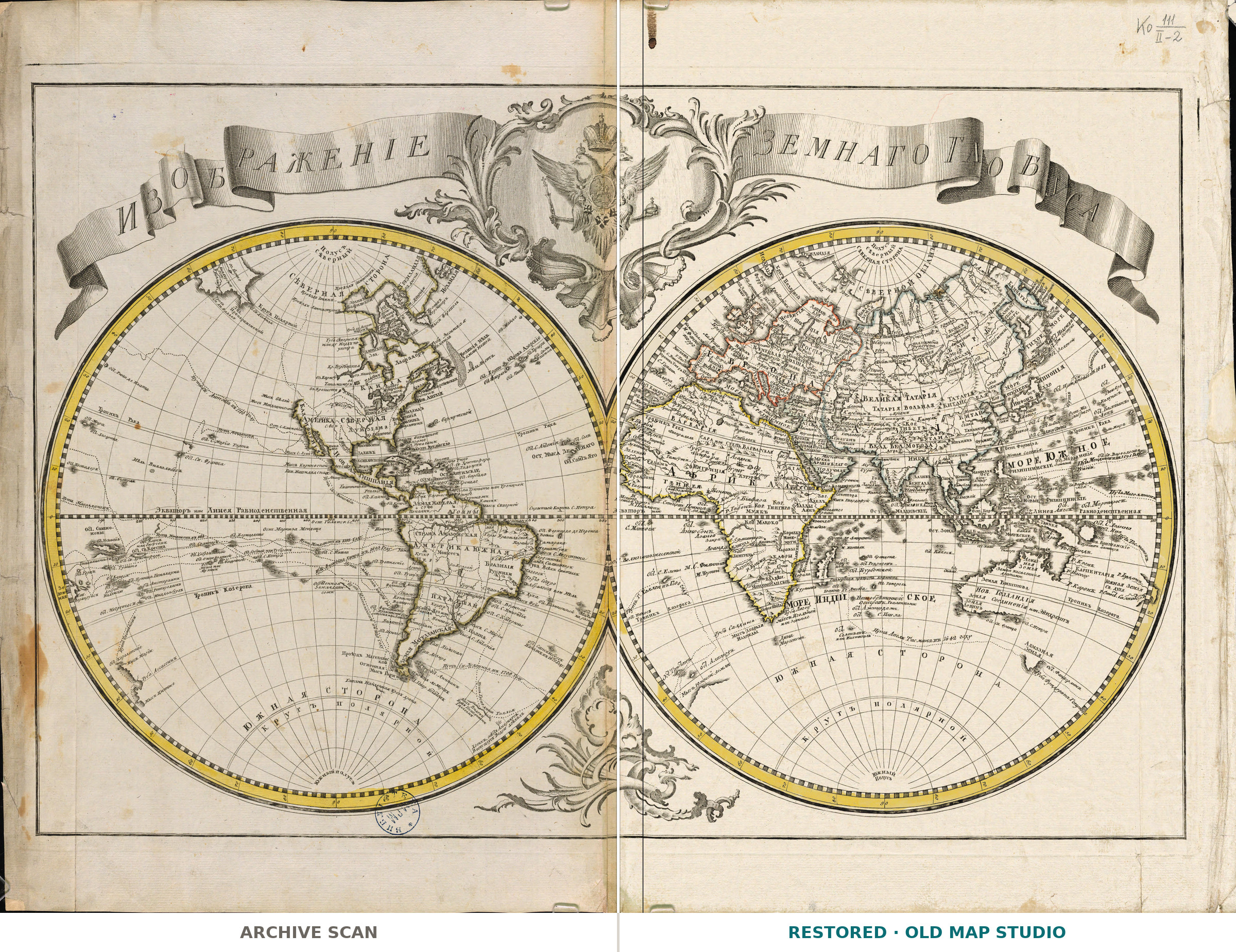
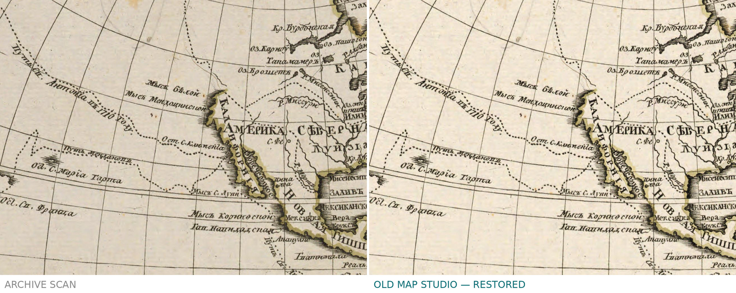
Russian world map, St Petersburg, c. 1750: library scan vs restored
Description
An old world map from Saint Petersburg, with its own far side blank
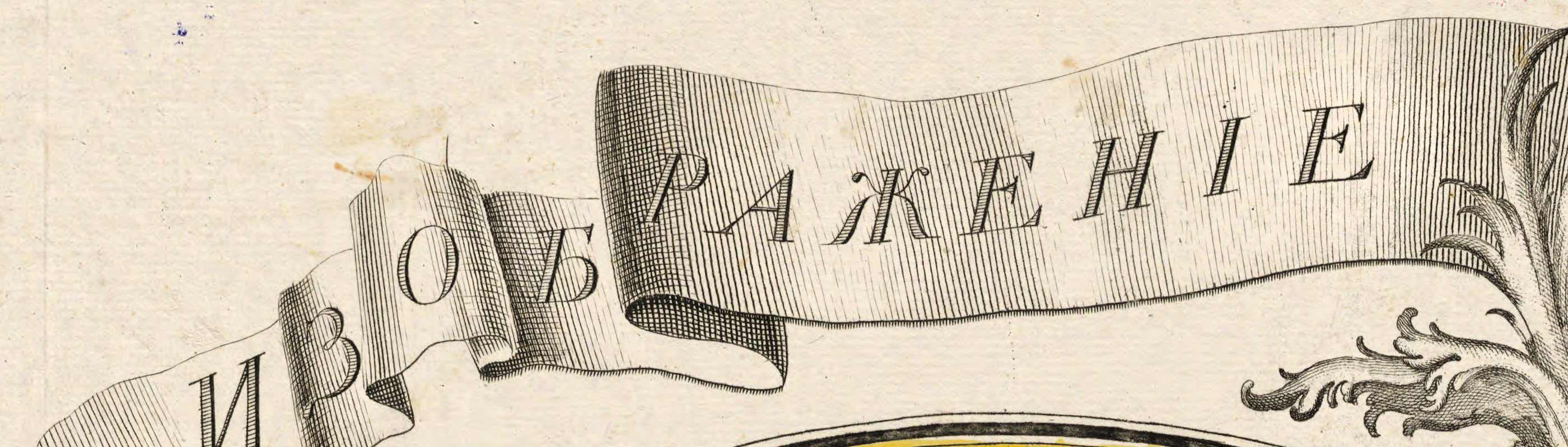
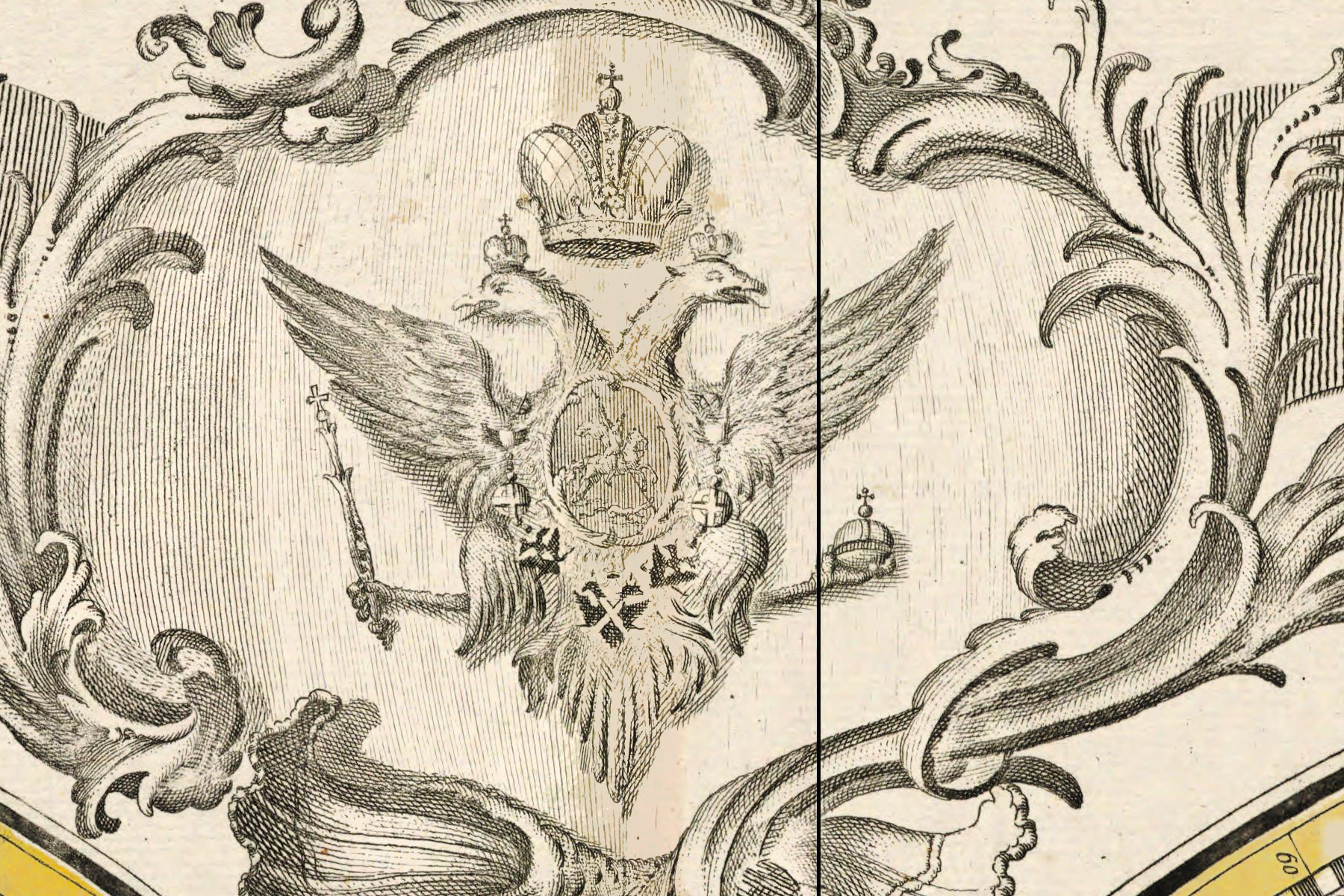
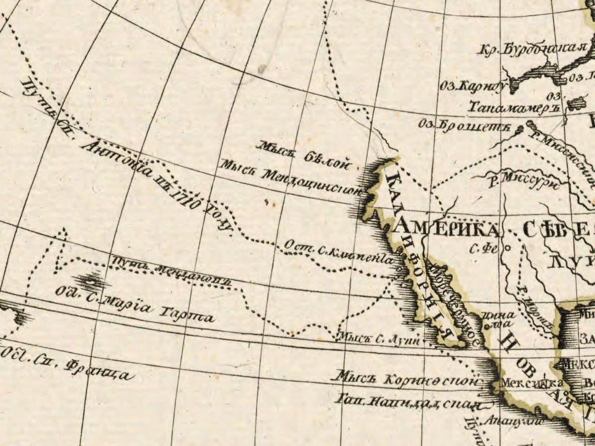
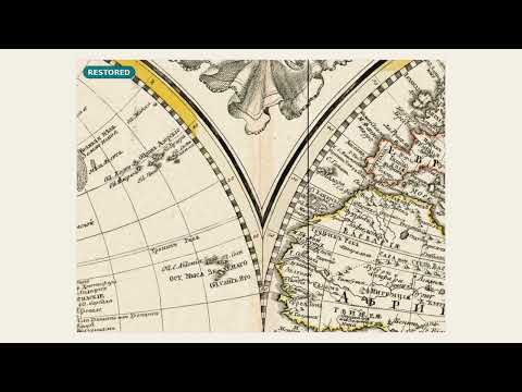
This is an old Russian map of the world, made in Saint Petersburg in the 1750s, and what is interesting is what is missing. The Library of Congress record says it plainly: in the middle of the eighteenth century north-eastern Russia was still poorly known, the seas and straits between the continents unmapped, and north-western America left off because Europe had nothing reliable to put there. The empire that owned one side of that water had not yet drawn it. The title sits under the imperial arms, longitude counts from Ferro, the borders are colored by hand.
Your file
| Original | Saint Petersburg, 1750s; the record names neither cartographer nor publisher |
| Sheet | 55 × 80 cm |
| Scan | full sheet 8355 × 6172 px; the map inside the trimmed border 8083 × 5268 px. From the library's own scan, not an upscale |
| Print size at 300 dpi | the map prints to 68 cm (27 in), the full sheet with margins to 70 cm (28 in) |
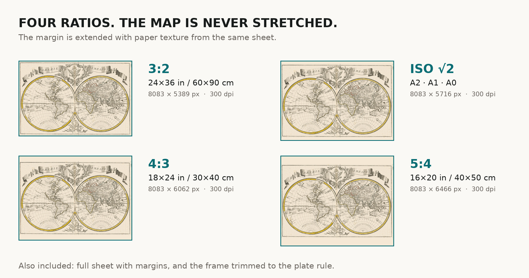
| You download | six ZIP archives: full sheet, trimmed, 3:2, 4:3, 5:4 and ISO A |
| Inside each one | one JPEG at 300 dpi, the restoration passport as a PDF, a READ ME |
How to print
- Pick the archive whose proportions match your frame, so nothing is cropped or stretched.
- Ask for matte fine-art paper, printed in sRGB with auto-enhancement off.
- Where to print it: print shops near you and checked prices at online labs.
Source and rights
Scanned by the Library of Congress, LCCN 2018694073, which states the material is free to use and reuse with no known copyright restrictions. The record carries no shelfmark and names no cartographer or publisher, but it notes that the original sheet is held by the Russian State Library — both homes are named here. The passport in every archive records what was removed. There is no TIFF master in the package. Catalogue record: Library of Congress →
Features
- Russian
Attachments
Reviews
No reviews found
See also
-
 Antique World Map 1714 — Delisle, Orbis Veteribus Noti
-
Antique World Map 1541 — Fries, Tabula Noua Totius Orbis
-
Antique World Map 1564 — Mercator, Quam Hic Vides Orbis Imaginem
-
Antique World Map 1677 — Duval, Carte Vniverselle du Commerce
-
Antique World Map 1618 — Geylekerck, Orbis Terrarum Descriptio
-
Antique World Map 1811 — d'Anville, Orbis Veteribus Notus