Antique World Map 1706 — Moll, A New Map of the World
Description
The old world map that charts the winds
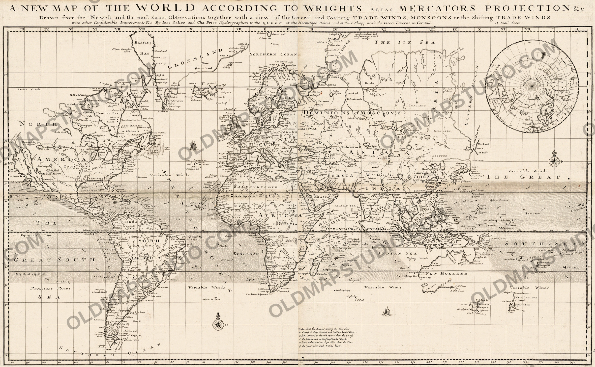
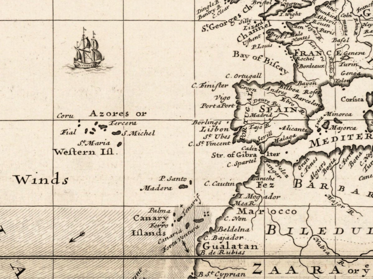
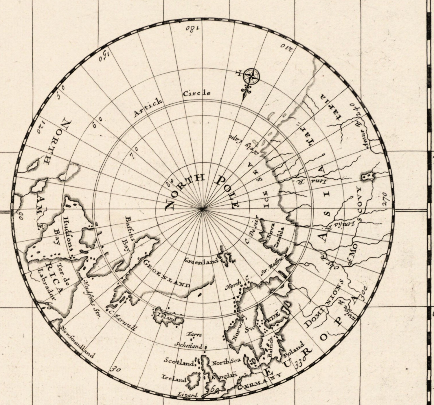
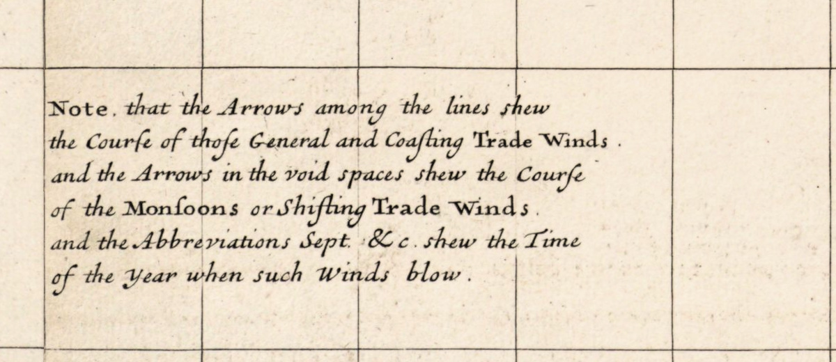
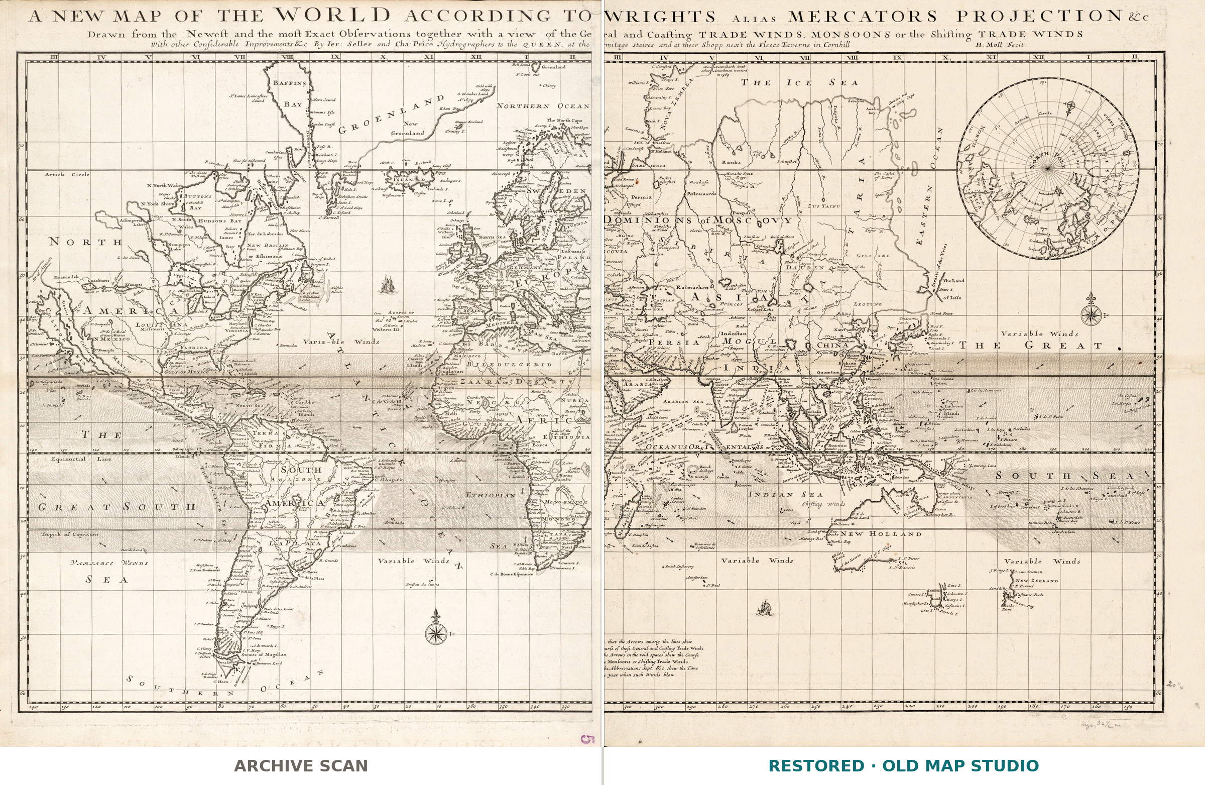
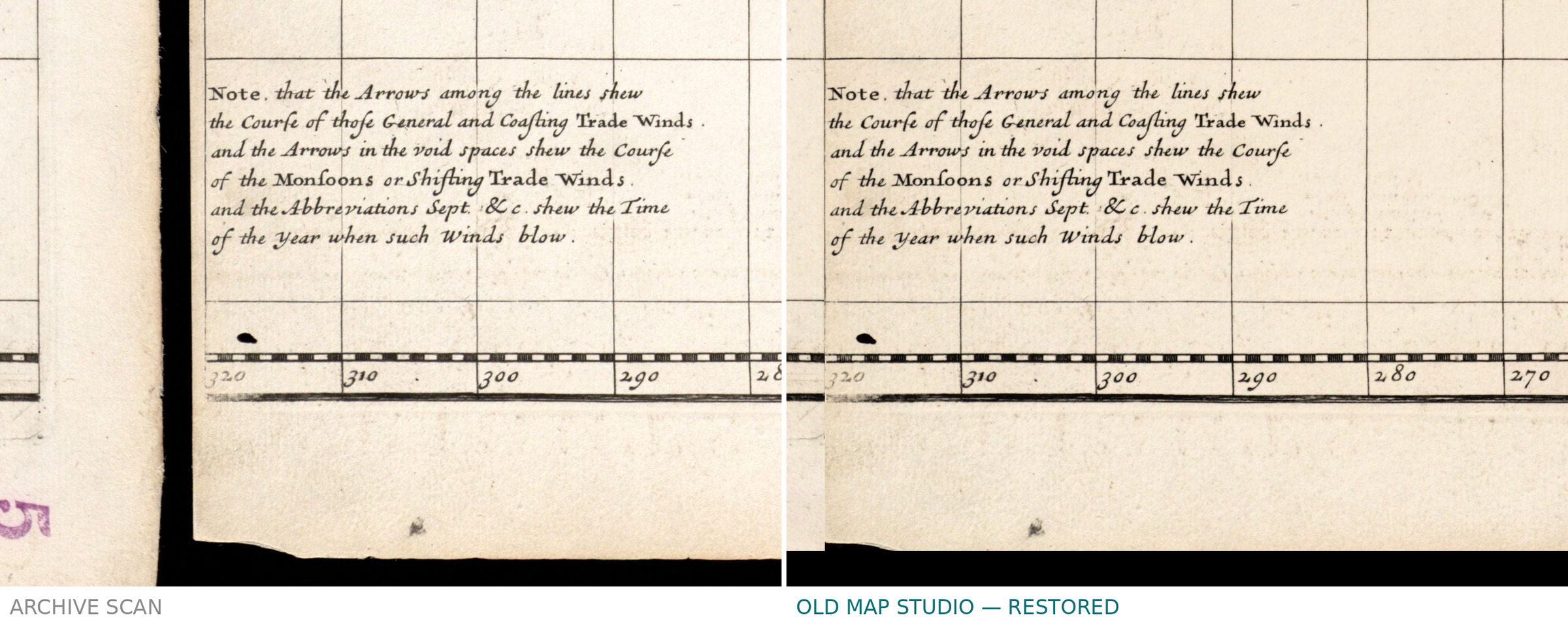
Most world maps of 1706 show coastlines. This one shows the wind. Herman Moll's title says so in full: A new map of the world according to Wrights alias Mercators projection, drawn from the newest and the most exact observations together with a view of the general and coasting trade winds, monsoons or the shifting trade winds. The sheet is a working document of the age of sail — the map a merchant or a captain would read to know when the monsoon turns.
What the catalogue records
The Norman B. Leventhal Map & Education Center at the Boston Public Library records one map on two sheets, engraved, 53 × 93 cm overall, at a scale of about 1:45,000,000, identifier 06_01_008688. The imprint on the sheet names the sellers: Jeremiah Seller and Charles Price, Hydrographers to the Queen, at the Hermitage stairs and at their shop next the Fleece Tavern in Cornhill, with the line H: Moll fecit. Two honest notes. The sheet is made of two halves joined together, and we left the join visible instead of smoothing it away. And the catalogue describes a colored copy, while the impression that was digitized is uncolored — you get what the scan shows, not a coloring of our own.
Moll, Seller and Price
Herman Moll, who died in 1732, was the busiest mapmaker in London in his generation and signed his plates himself. Seller and Price held the title of Hydrographers to the Queen — Anne had come to the throne in 1702 — and sold from two addresses at once, which is why both are printed on the sheet. 1706 is the date the catalogue assigns to this sheet, not necessarily the year the plate was first cut.
Your file
| Original | Herman Moll, London, 1706, engraving, on two joined sheets |
| Sheet | 53 × 93 cm overall |
| Scan | 8739 × 5416 px, from the library's own scan, not an upscale |
| Print size at 300 dpi | up to 71 cm (28 in) on the long side |
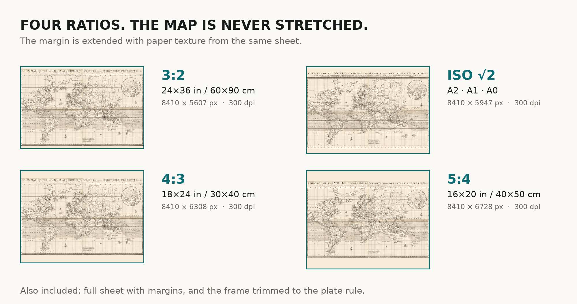
| You download | six ZIP archives: full sheet, trimmed, 3:2, 4:3, 5:4 and ISO A |
| Inside each one | one JPEG at 300 dpi, the restoration passport as a PDF, a READ ME |
How to print
- Print at 300 dpi at the size above and do not let the shop scale the file up.
- Pick the archive whose proportions match your frame, so nothing is cropped or stretched.
- Ask for matte fine-art paper, printed in sRGB with auto-enhancement off.
- Where to print it: print shops near you and checked prices at online labs.
Source and rights
Boston Public Library, Norman B. Leventhal Map & Education Center Collection, identifier 06_01_008688, record commonwealth:7h14b1855. No known copyright restrictions and no known restrictions on use; the library is named in the passport inside every archive. Catalogue record: Leventhal Map & Education Center →
Questions
What exactly do I get after payment?
Six ZIP archives, each with one JPEG at 300 dpi, the restoration passport as a PDF and a READ ME. There is no TIFF master in the package.
How large can I print it?
Up to 76 cm (29 in) on the long side at 300 dpi, taken from the resolution of the library's scan, not from an upscale.
Is the sheet colored?
No. The catalogue describes a colored copy, but the impression that was digitized is uncolored, and we did not add color. The passport in every archive says the same.
Why is there a line across the map?
Because the original is one map printed on two sheets and joined. The join is part of the object, so it stays.
Features
- English
Attachments
Reviews
No reviews found
See also
-
 Antique World Map 1680 — Sanson, A Mapp of All the World
-
Antique World Map 1752 — Robert de Vaugondy, Mappemonde
-
Antique World Map 1794 — Dunn, A New Map of the World
-
Antique World Map c. 1696 — Sanson, Mappe-monde
-
Antique World Map 1579 — Ortelius, Typus Orbis Terrarum
-
Antique World Map 1816 — Stieler, Planiglob der Antipoden