Antique World Map 1764 — Bellin, Carte réduite du globe
Description
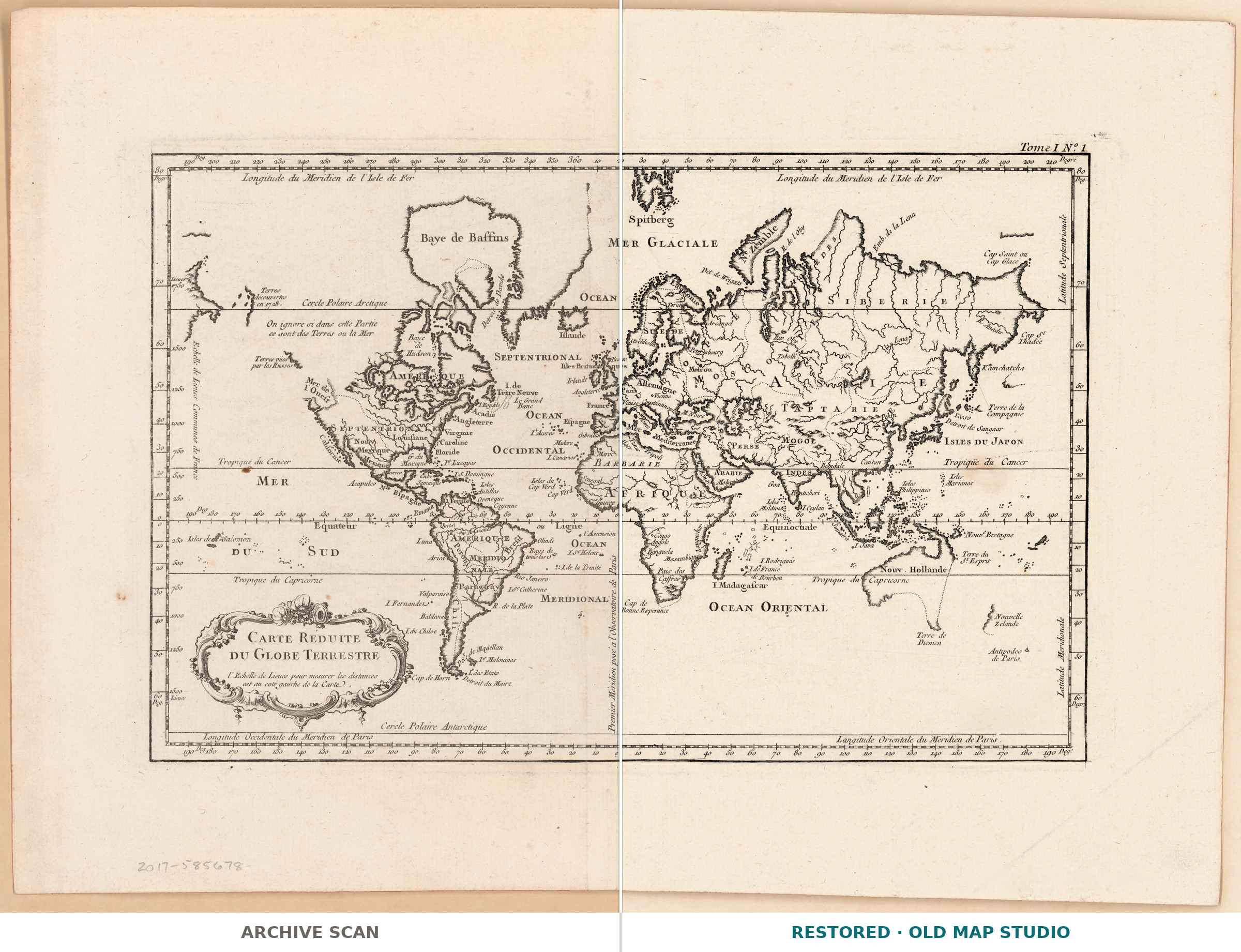
An old world map that opens a pocket sea-atlas
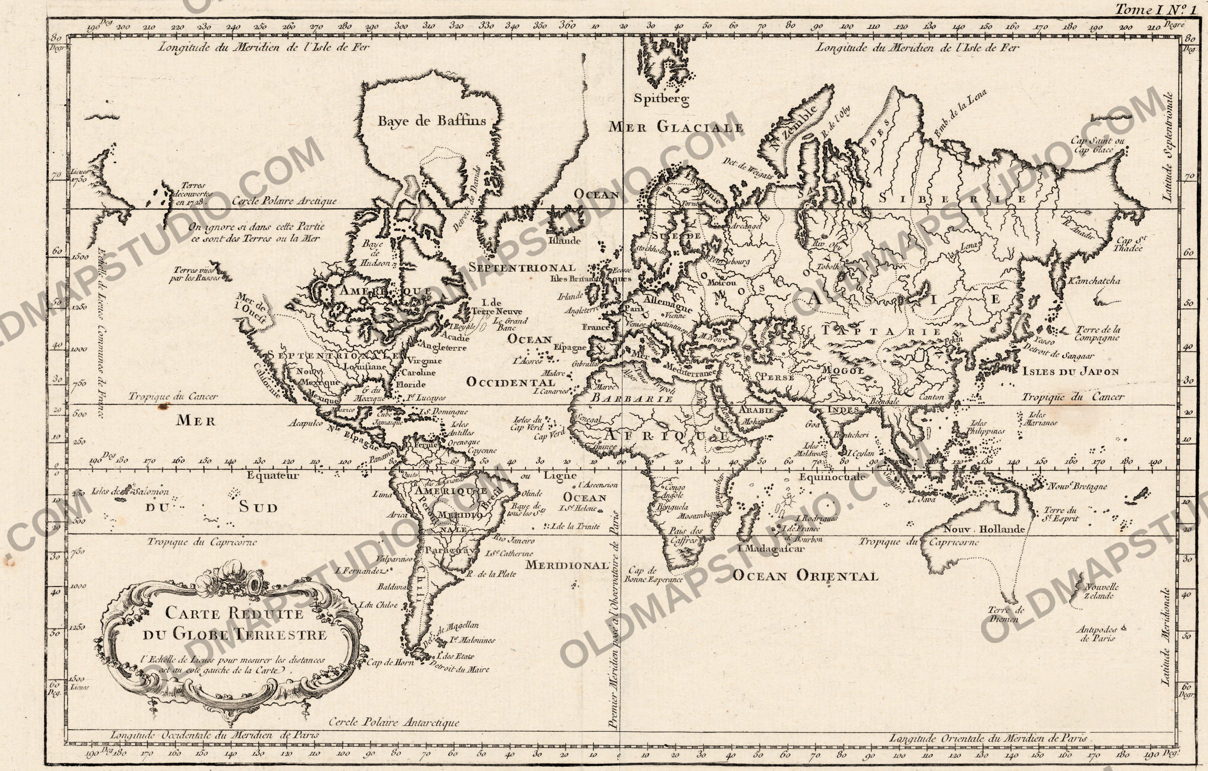
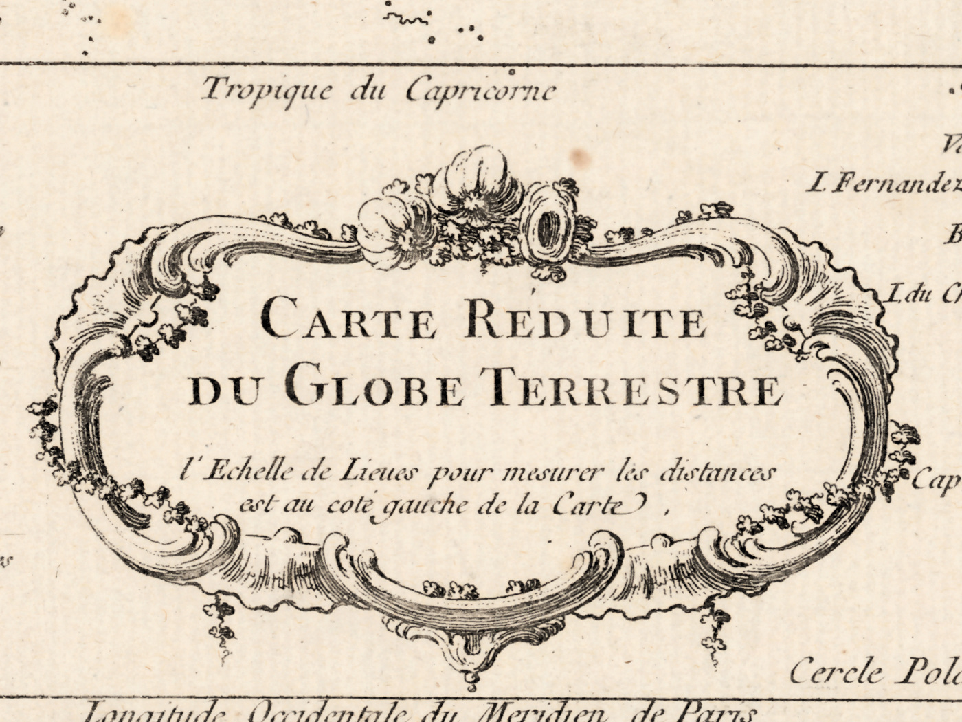
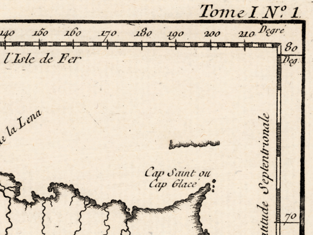
This is plate one of volume one. Jacques Nicolas Bellin put Carte reduite du globe terrestre at the head of his Petit atlas maritime, published in Paris in 1764, and the sheet still carries the line that says so in its upper right corner: Tome I, no. 1. Longitude is counted from the meridian of Paris, as it was in French practice. The whole map measures 21 × 34 cm — a book plate, not a wall map, made to be carried rather than hung.
What the catalogue records
The Library of Congress records one map, 21 × 34 cm, published in Paris by J. Bellin, from Bellin's Petit atlas maritime of 1764, with the prime meridian at Paris and the note in the upper right corner. Its call number is G3200 1764 .B4 and its LCCN is 2017585678. The record does not name the printing technique or say whether this copy was colored, so neither claim appears here. Bellin's own dates, 1703 to 1772, are the record's.
A small sheet that prints large
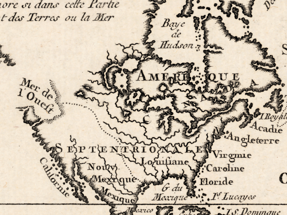
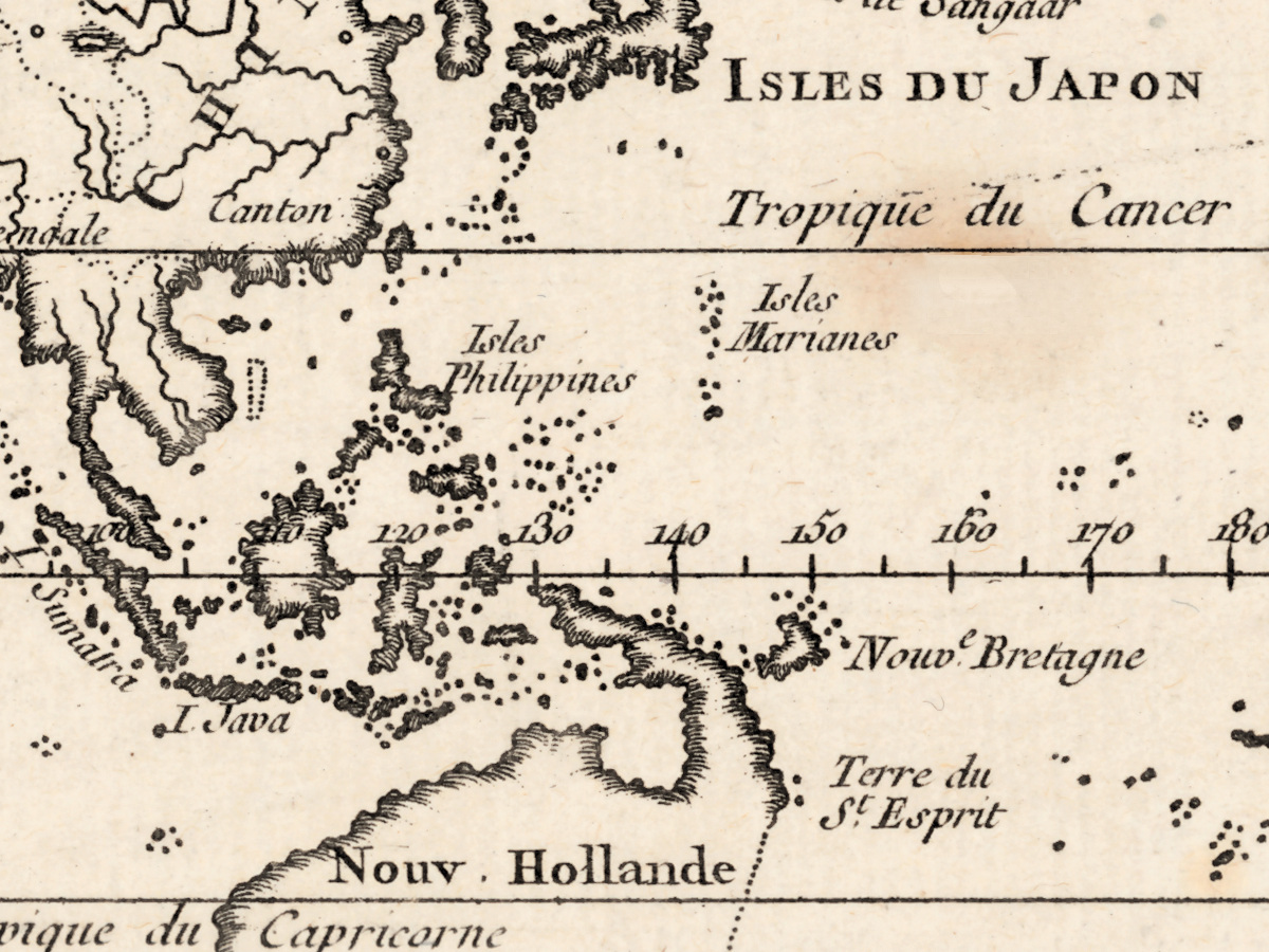
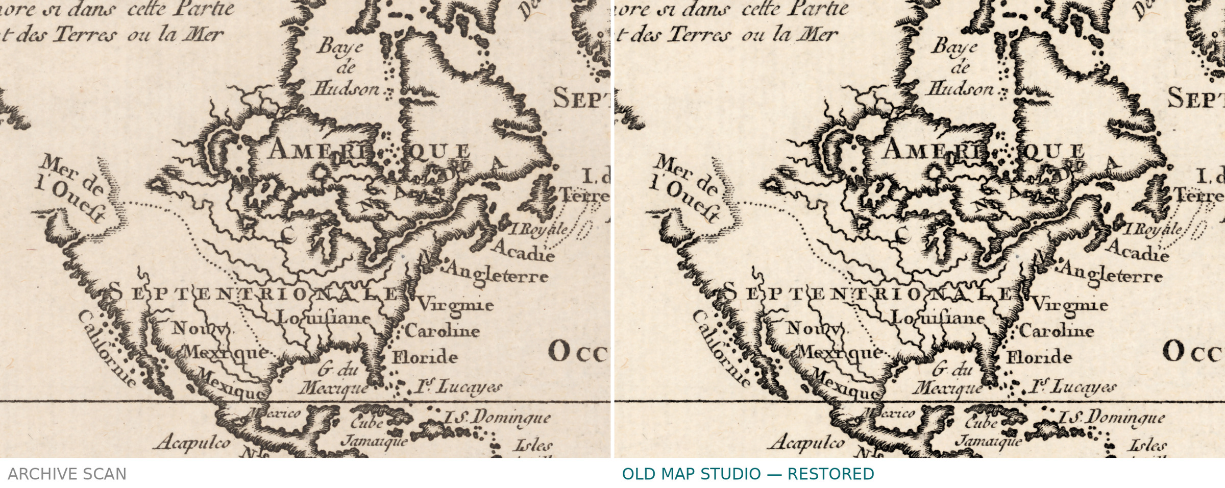
The original is the size of a large book page, and that is the point of the scan: at 300 dpi the map prints to 48 cm on the long side, and the full sheet with margins to 60 cm, close to three times the sheet in your hand. Nothing is invented to get there — the numbers come from the resolution of the library's own scan, not from an upscale, and the detail on the sheet is fine enough to stand it.
Your file
| Original | Jacques Nicolas Bellin, Paris, 1764, the record does not state the printing technique, plate 1 of the Petit atlas maritime |
| Sheet | 21 × 34 cm |
| Scan | 7188 × 5286 px, from the library's own scan, not an upscale |
| Print size at 300 dpi | map 48 cm (19 in) on the long side; full sheet with margins to 60 cm (24 in) |
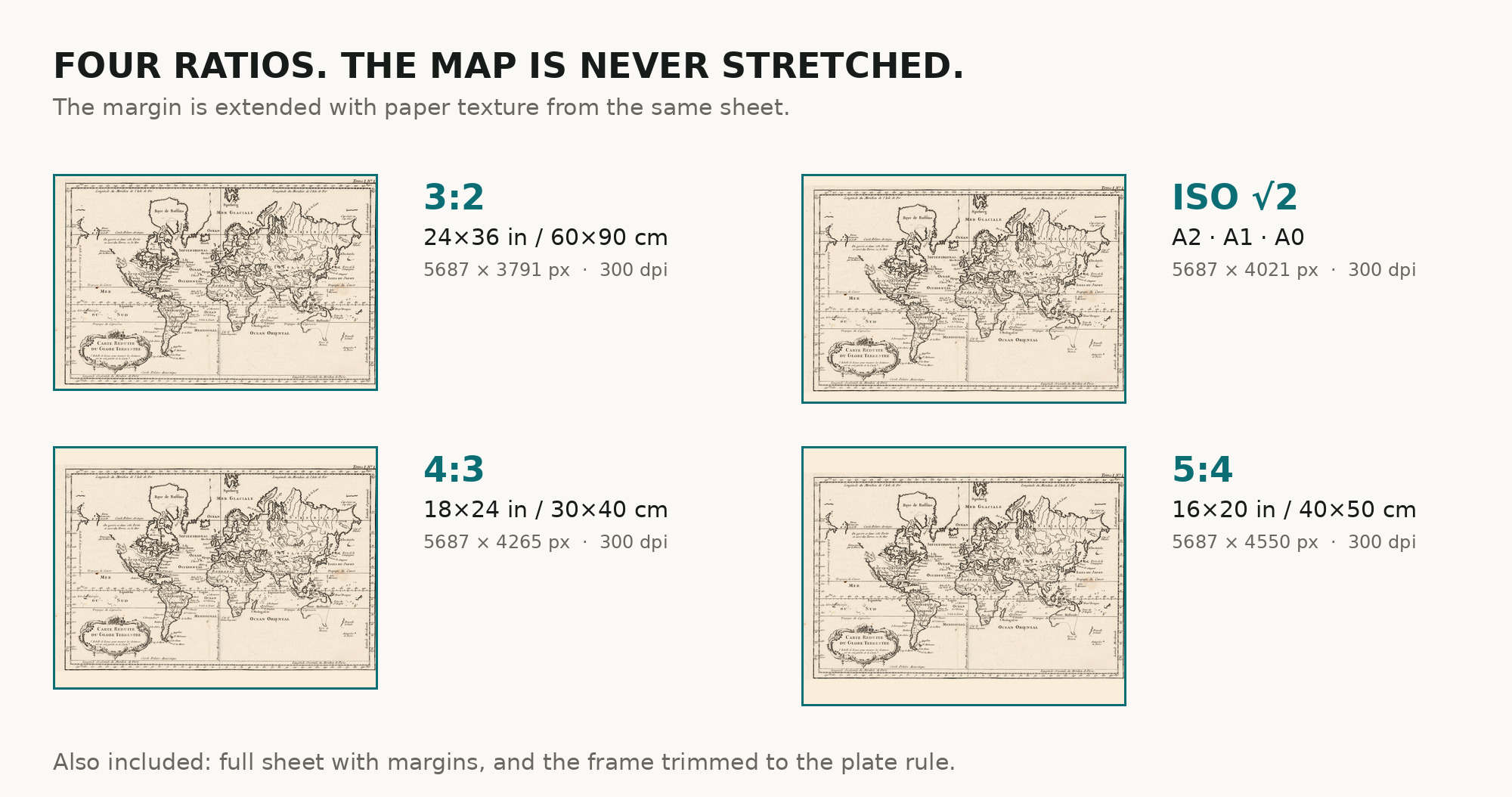
| You download | six ZIP archives: full sheet, trimmed, 3:2, 4:3, 5:4 and ISO A |
| Inside each one | one JPEG at 300 dpi, the restoration passport as a PDF, a READ ME |
How to print
- Print at 300 dpi at the size above and do not let the shop scale the file up.
- Pick the archive whose proportions match your frame, so nothing is cropped or stretched.
- Ask for matte fine-art paper, printed in sRGB with auto-enhancement off.
- Where to print it: print shops near you and checked prices at online labs.
Source and rights
Library of Congress, Geography and Map Division, call number G3200 1764 .B4, LCCN 2017585678. The division's digitized collections are free to use and reuse, and the library is named in the passport inside every archive. Catalogue record: Library of Congress →
Questions
What exactly do I get after payment?
Six ZIP archives, each with one JPEG at 300 dpi, the restoration passport as a PDF and a READ ME. There is no TIFF master in the package.
How large can I print it?
The map prints to 48 cm (19 in) on the long side; the full sheet with margins prints to 60 cm (24 in) at 300 dpi, taken from the resolution of the library's scan, not from an upscale.
Is the sheet colored?
The record does not say, so we make no claim either way. What you download is what the scan shows, with no color added by us.
Where is zero longitude on this map?
At Paris. French charts of the period counted longitude from the Paris meridian, as the catalogue records.
Features
- French
Attachments
Reviews
No reviews found
See also
-
 Antique World Map 1641 — Hondius, Nova Totius Terrarum Orbis
-
Antique World Map c. 1635 — Blaeu, Nova Totius Terrarum Orbis
-
Antique World Map 1541 — Fries, Typus Orbis Ptolemaei
-
Antique World Map c. 1807 — Hansteen, Abweichungskarte
-
Antique World Map 1757 — The Earth's Western Planisphere
-
Antique World Map c. 1740 — Delisle, Hemisphere Septentrional