Antique World Map 1740 — Seutter, Diversi Globi Terr-Aquei
Description
California is an island, and that is the point
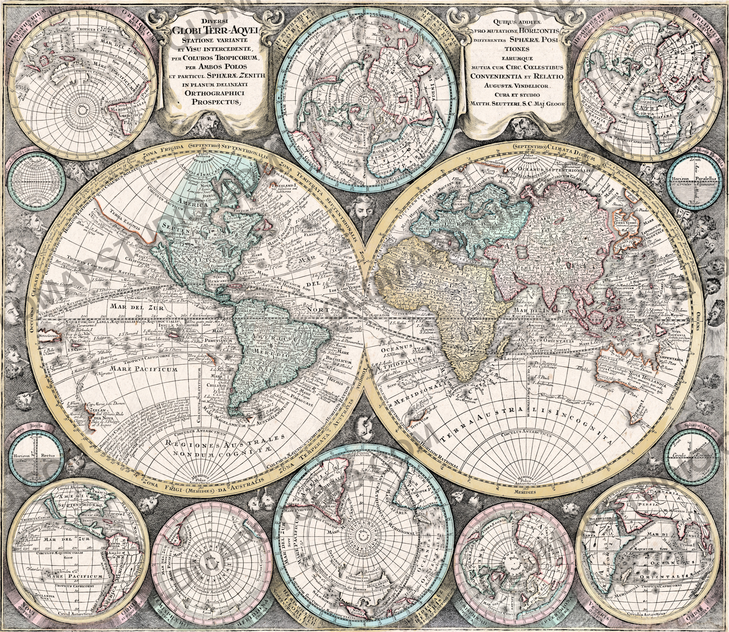
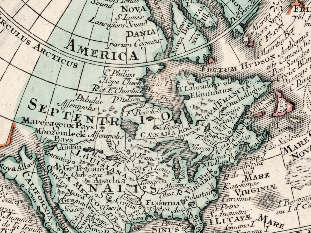
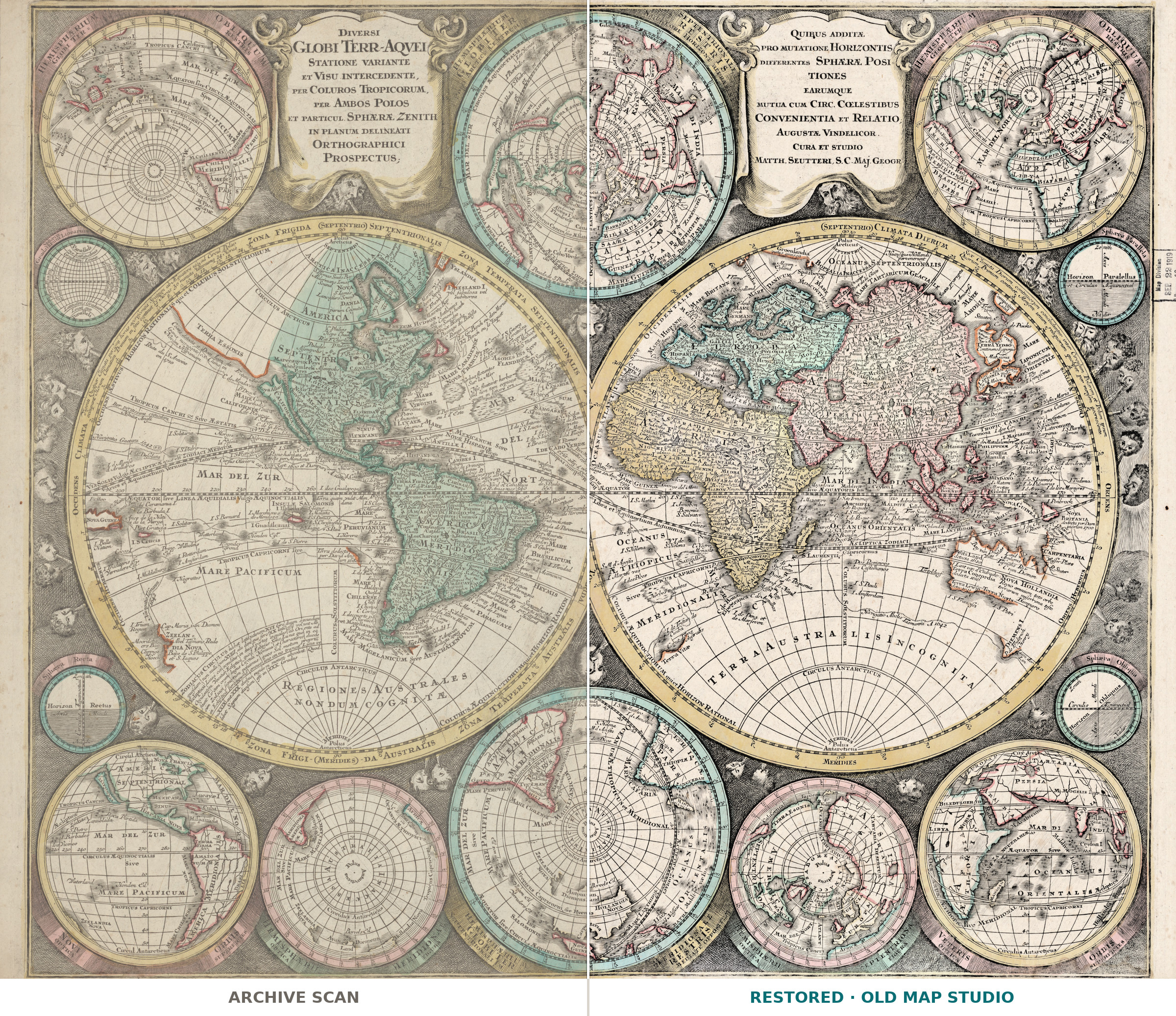
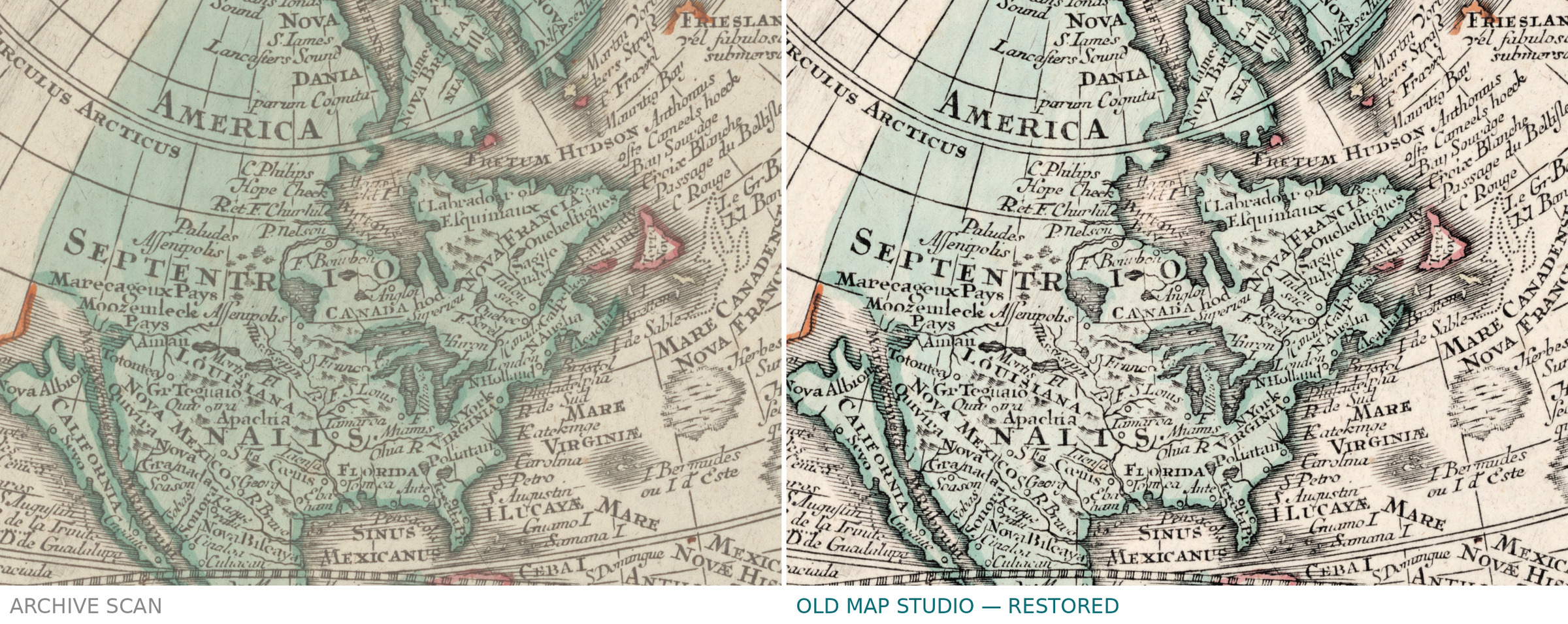
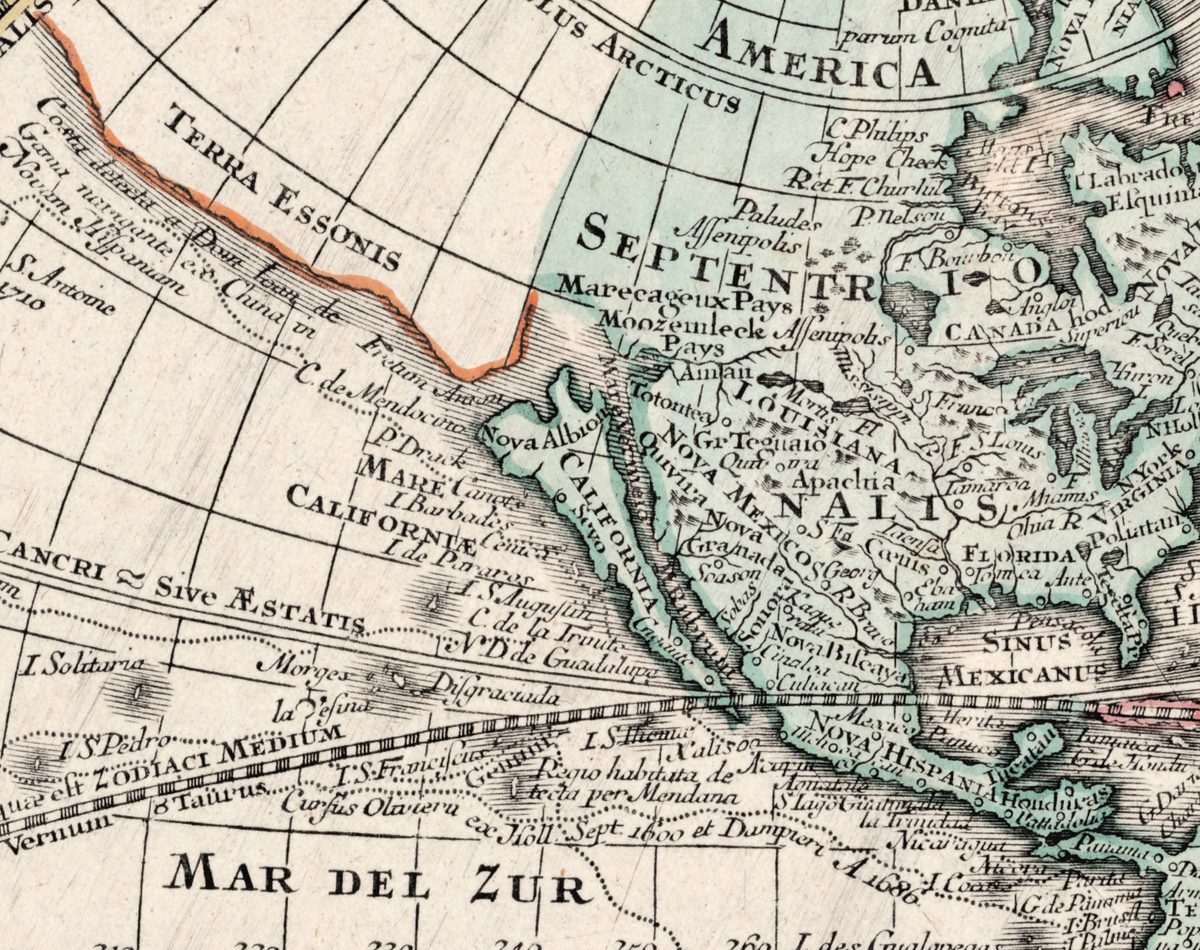
By 1740 the Jesuit Eusebio Kino had been dead for nearly thirty years, and he had spent the last of them proving on foot that California is attached to the continent. Augsburg went on engraving the island anyway. Here it is, colored green and cut off by a clean blue strait: CALIFORNIA along its length, MARE CALIFORNIÆ to the west, and at the northern tip Nova Albion — the coast Francis Drake claimed for England in 1579 — with P. Drack beside it.
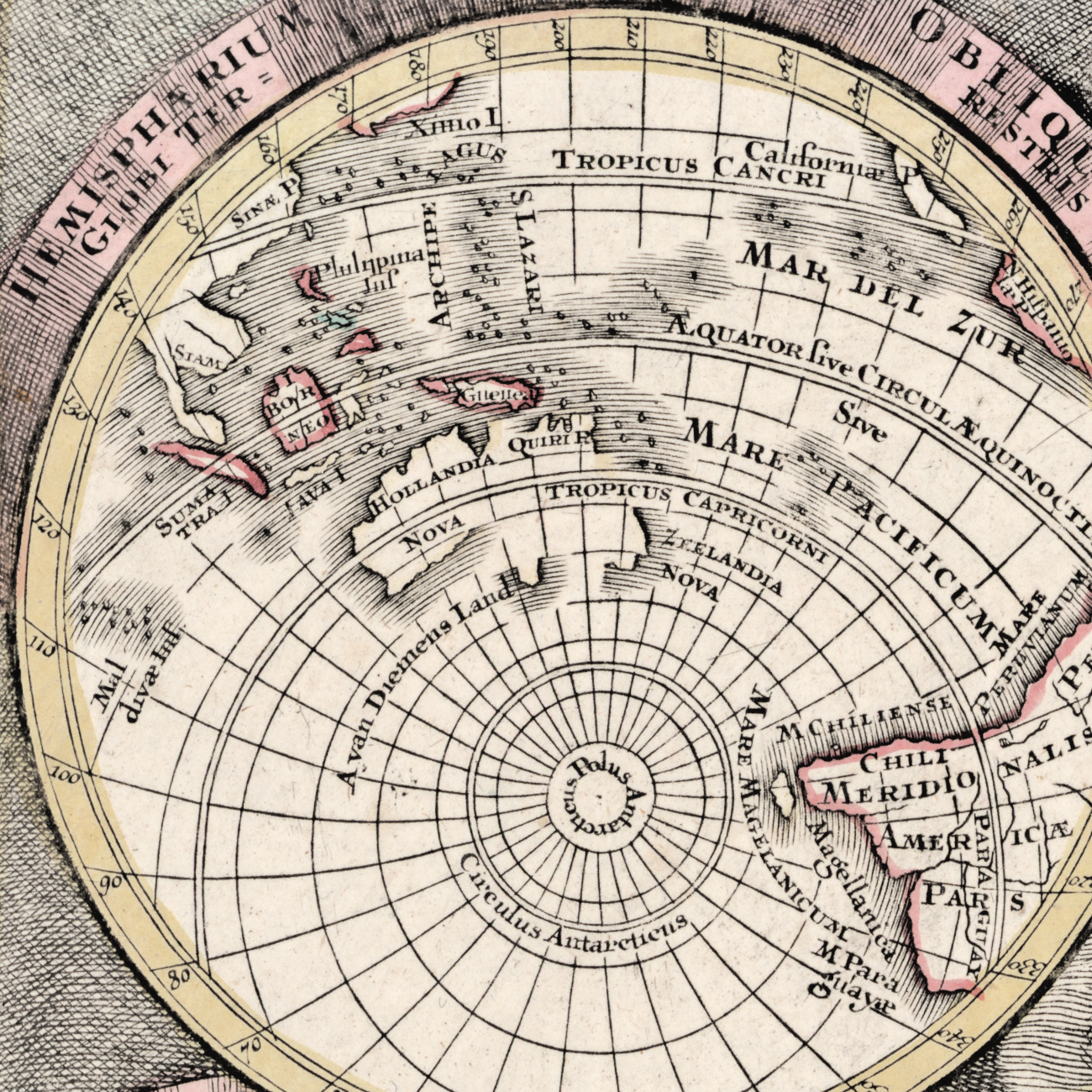
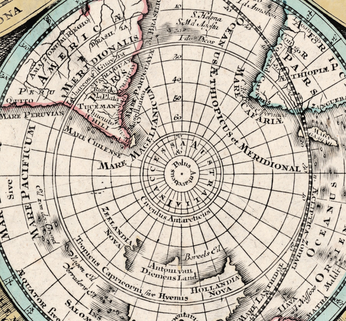
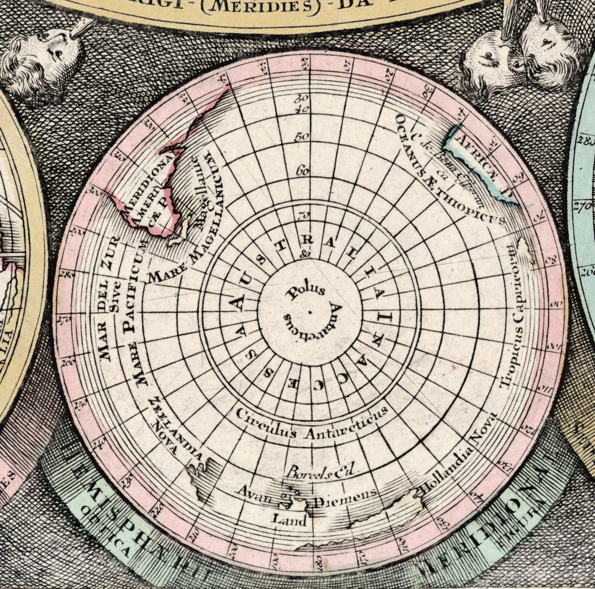
The sheet is not only a world map. Around the two big hemispheres Seutter set eight smaller globes in oblique and polar orthographic projection and four diagrams of the celestial spheres: the same Earth seen from nine standpoints, which is exactly what the Latin title promises. It was sold as a wall piece and used as a teaching plate, and it still reads as both.
What you can find on the sheet
Every line below was read at 100% on the restored master, and every one of them is visible in the file you receive.
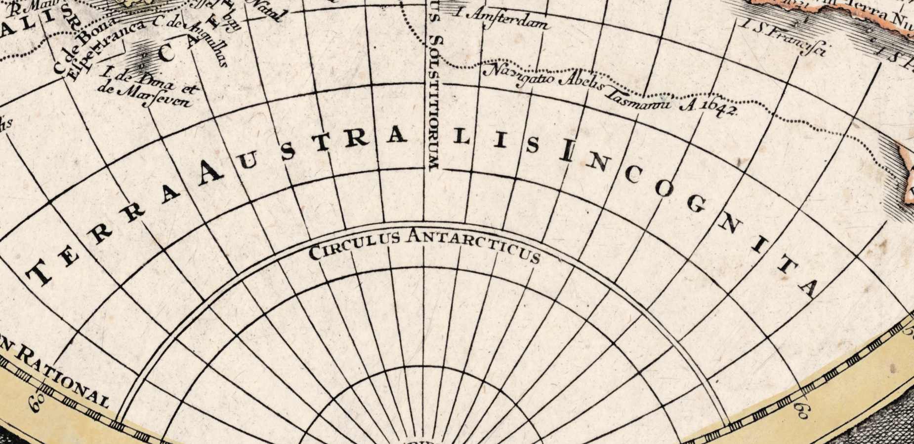
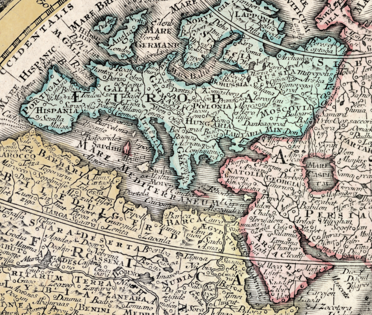
- Terra Australis Incognita. A continent that does not exist fills the bottom of the eastern hemisphere; the western one answers with REGIONES AUSTRALES NONDUM COGNITÆ. NOVA HOLLANDIA is drawn, but its east coast simply stops — Cook is thirty years away.
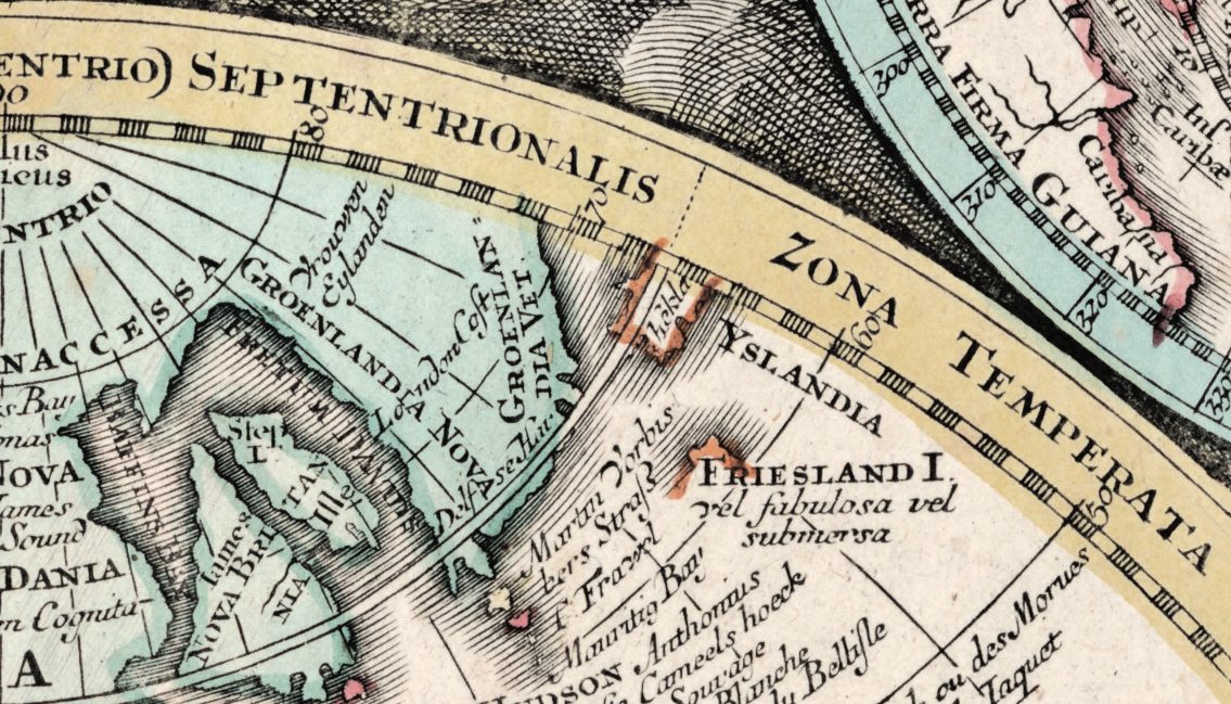
- An island that admits it may not be there. North of the Azores: FRIESLAND I. vel fabulosa vel submersa — "the island of Frisland, either fabulous or sunk". An eighteenth-century engraver printing a phantom and labelling his own doubt next to it.
- Terra Essonis, the mythical land north of Japan, is here too, quietly.
- Voyages written into the ocean. Navigatio Gaetani 1542 · Iter peritissimi cujusdam Nautae Angli ("the route of a certain most skilful English mariner") · Regio habitata detecta per Mendana 1600 et Dampieri A. 1686 · Terra detecta per David A. 1684. The map dates itself from the inside, by the last voyage it mentions.
- A sailor's observation, not a cartographer's. In the Atlantic: Herbes flotantes sur la Mer. Hic fluitant herbæ non tam copiosæ quam littore orientali — floating weed, thinner here than on the eastern shore. The Sargasso Sea, recorded as a working note.
- The Solomon Islands in the wrong ocean. INSULÆ SALOMONIS sit mid-Pacific: after Mendaña they were lost for two centuries, and this is what being lost looked like.
- North America before the United States. LOUISIANA, NOVA MEXICO, APACHIA, QUIVIRA, TEGUAIO, Marecageux Pays, CANADA hod., VIRGINIA, FLORIDA, Carolina. The Great Lakes are drawn and named Superieur, Huron, Frontenac; on the coast, Quebec, Montreal, Boston, Philadelphia, N. York.
- The Grand Banks as a workplace, not a feature: Le Gr. Bank ou des Morues ou le Taquet — the cod bank.
- Wind heads in the border. Engraved putti blowing from the corners, set on dense cross-hatching. That hatching is the hardest thing to keep alive in a restoration, and it is where this file was tested hardest.
Matthäus Seutter, Augsburg
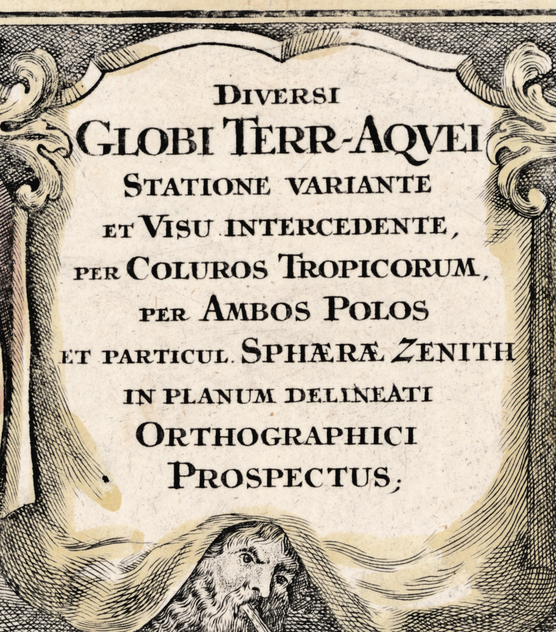
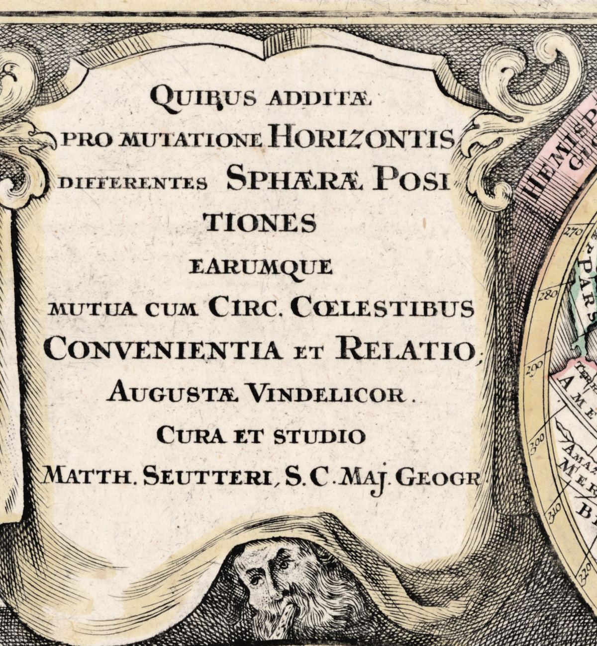
Seutter (1678–1757) trained as a brewer, went to Nuremberg to learn engraving under Johann Baptist Homann instead, and came home to Augsburg to compete with him. He won enough of that competition that in 1731 Emperor Charles VI made him Imperial Geographer, and the title is printed on this sheet: Augustae Vindelicorum, cura et studio Matth. Seutteri, S. C. Maj. Geogr. — "at Augsburg, by the care and industry of Matthäus Seutter, Geographer to His Imperial Majesty".
Copper engraving on laid paper, colored by hand in the workshop at the time of printing — not by us. Latin throughout, with French and Dutch place names surviving from the Dutch plates the Augsburg houses worked from.
What restoration was done — and what was not
- Edges were cut, not filled. A 2–3 mm dark band ran along the top, bottom and right of the original scan: that was the scanner glass, not the paper. Trimming it uncovered the sheet's own narrow margin underneath.
- Geometry untouched. No rotation, no content cropped, original proportions kept.
- The paper field was evened in two passes; unevenness fell from 5.9 to 3.3. Tone and warmth were brought to the collection standard.
- Ink density was rebuilt with a monotone curve on single lines, and deliberately eased to 80% inside dense hatching so the wind heads keep their gaps.
- The Library of Congress stamp — Map Division / SEP 22 1919 — stood on the right margin outside the engraved frame, on blank paper. It was replaced with paper texture taken from three clean strips of this same sheet. Outside that rectangle nothing changed at all: measured, the maximum difference is 0.00.
- Grain was kept at 0.91 of the original. That is the paper, and removing it would make the sheet look printed yesterday.
- A fold trace runs down the far left margin, outside the frame. It is left in the full version as honest patina, and falls outside the trimmed version.
The scan this comes from is flat: its darkest pixel is 83 out of 255. The black point was placed by a monotone curve, never painted in: not one pixel of the sheet is crushed to true black. Fifteen acceptance criteria out of fifteen, measured — ink core density 16.0, black point 11.0, white point 248.1, nothing clipped, no stains, no dirt, halo 0.00%.
Your file
| Resolution | 7107 × 5903 px, full sheet |
|---|---|
| Print size at 300 dpi | 60 × 59 cm (23.7 × 19.23 in) |
| At the original's own size | the sheet measures 57 cm wide; at that size the file runs at 317 ppi |
| Larger, if you want it | 75 × 63 cm at 240 dpi · 90 × 76 cm at 200 dpi |
| Color | JPEG, quality 96, 4:4:4 — no chroma subsampling. sRGB with the profile embedded, progressive, 300 dpi |
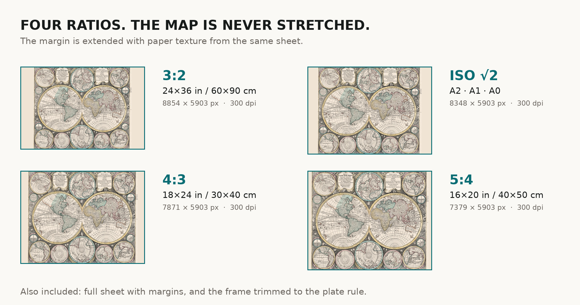
What you download: six separate ZIP archives, one per frame shape — the full sheet, a version trimmed to the engraved frame, and four ratio versions built by extending the margin, never by stretching the image: 3:2 (for 24×36 in / 60×90 cm frames), 4:3 (18×24 in / 30×40 cm), 5:4 (16×20 in / 40×50 cm) and ISO A (A2–A0). Take the one that fits your frame and leave the rest; each archive is 54–64 MB. Inside every archive are exactly three files: the image, the one-page restoration passport as a PDF, and a README giving the pixel size, the print size at 300, 240 and 200 dpi, and a note on how the margin was extended. No TIFF master is included — no print shop asks for one, and a second archival file would double the weight for nothing that shows on paper.
Printing it
Send the file as it is — sRGB, no conversion. A matte or lightly textured art paper of 200 g/m² or heavier suits a copper engraving better than gloss, and keeps the hand color from looking modern. At 60 cm this is a job for a print service rather than a home printer; the archive includes a size chart so you can hand it over without measuring anything yourself.
Screen and paper never match exactly: a monitor emits light, paper reflects it. The warm paper tone here is the paper of 1740, and it will read slightly deeper in print than on screen.
Where to print it: print shops near you and checked prices at online labs.
Source and rights
Library of Congress, Geography and Map Division. Shelf mark G3200 1740 .S8 (Copy 1), LCCN 2021589934. The original is in the public domain and free for any use; the Library asks that the Geography and Map Division be credited, and the passport PDF in your archive carries that credit ready to copy. Catalogue record: Library of Congress →
You can compare our file with the Library's own scan line for line. That is the point of naming the shelf mark.
Questions
What exactly do I get after payment?
Six ZIP archives, one per frame shape — the full sheet, the version trimmed to the engraved frame, and four ratio versions (3:2, 4:3, 5:4, ISO A). You download the one that fits your frame; each is 54–64 MB. Inside are three files: the image as a JPEG at quality 96, 4:4:4, the restoration passport as a PDF, and a README. No watermark, no expiry, no account needed after download.
How large can I print it?
60 × 50 cm at a true 300 dpi, from the scan's own pixels — no upscaling is counted in that number. Larger prints work well because an engraving is line, not photograph: 75 cm at 240 dpi and 90 cm at 200 dpi both hold up on matte paper.
Is this a real antique map or a generated image?
It is a scan of a real sheet held in a named archive — Library of Congress, shelf mark G3200 1740 .S8, printed in Augsburg around 1740. Nothing is generated and nothing is redrawn. Every change made to the scan is listed above and in the passport PDF.
Is the color yours or the original's?
The original's. It was colored by hand in the workshop in the eighteenth century. Our work was to bring the paper back to its own tone so that color reads as it did, not to add any.
Can I use it commercially?
The original is public domain, so the map itself carries no restriction. Which licence applies to our restored file — personal or commercial — is set on this page at purchase.
Features
- Dutch
- French
- Latin
Attachments
Reviews
No reviews found
See also
-
 Old World Map — Mappemonde de Leipzig, Jomard's Monuments
-
Antique World Map 1579 — Ortelius, Typus Orbis Terrarum
-
Antique World Map 1708 — De la Feuille, Mapemonde Planisphere
-
Antique World Map 1794 — Dunn, A New Map of the World
-
Antique World Map c. 1508 — Egerton Portolan Atlas, Plate 14
-
Antique World Map 1680 — Sanson, A Mapp of All the World