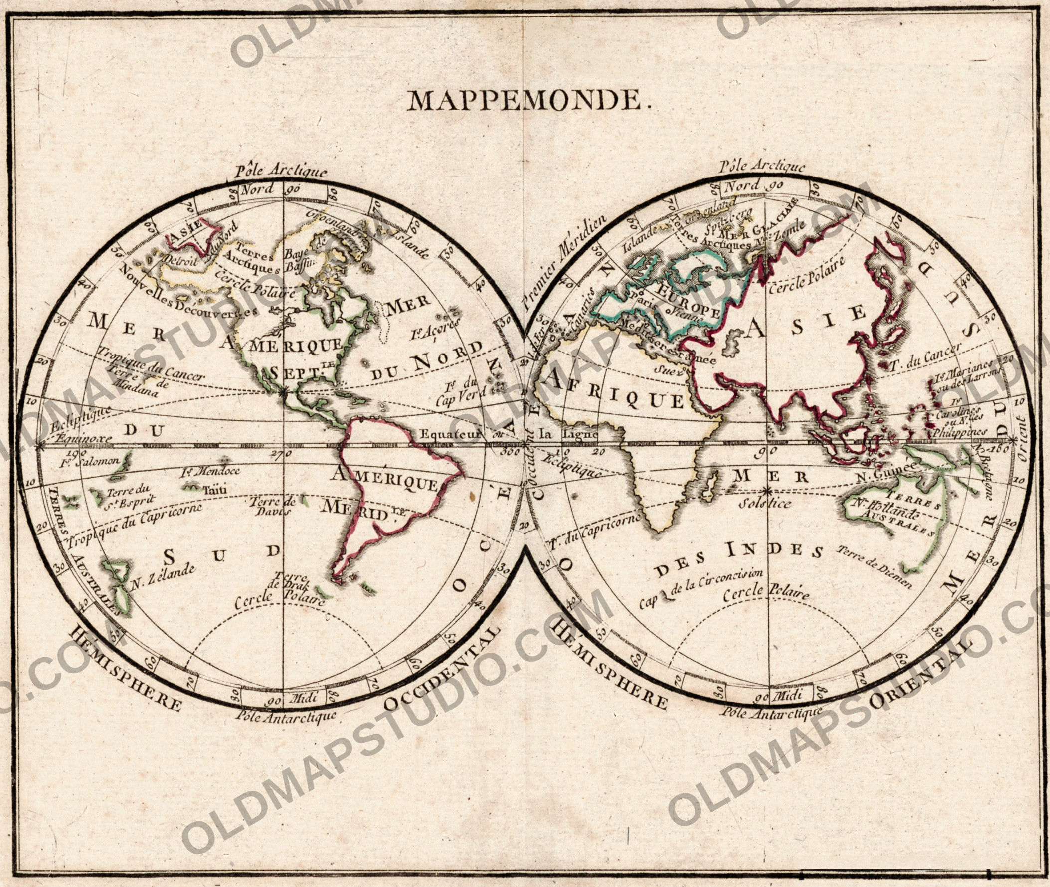
Antique World Map 1778 — Brion de la Tour, Mappemonde
Description
The smallest sheet in the collection
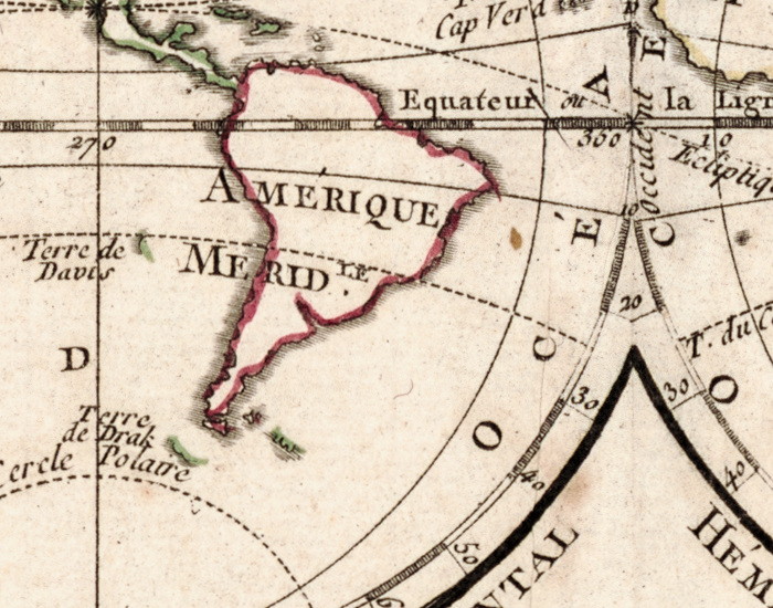
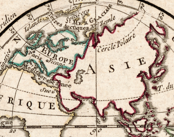
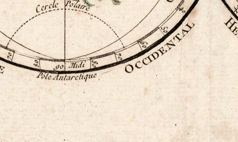
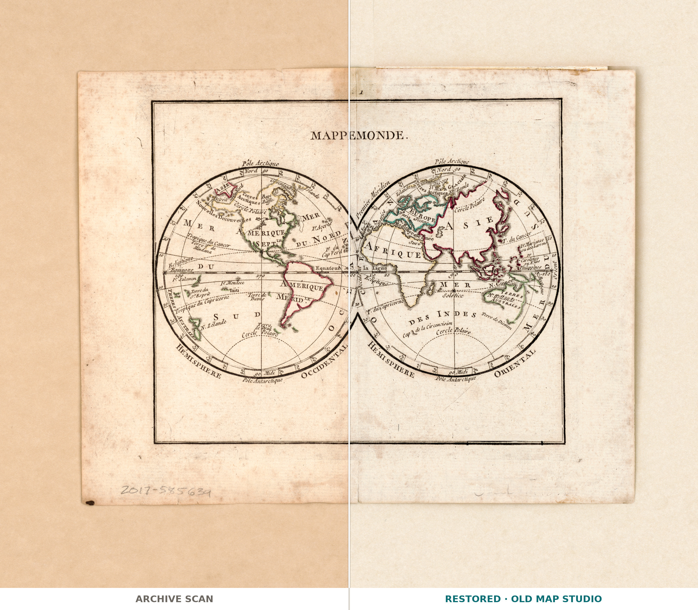
The record gives this old world map as two hemispheres of 9 cm on paper 19 × 24 cm: a page-format sheet, drawn by Louis Brion de la Tour and printed in Paris by Joseph-Gérard Barbou. Restored, the map prints to 17 cm and the full sheet to 29 cm — a small frame, not a wall.
What the record does not state
Four lines and no more: one map, hand colored, two hemispheres, a sheet size, subject headings. No engraver, no printing technique, no atlas or book of origin. Those lines stay blank rather than guessed, and nothing is claimed here about the drawing, which the record does not describe.
A date in brackets
The year 1778 is supplied by the catalog in brackets and without a query — certain to the cataloger, not printed on the sheet. The record names two men with dates: Brion de la Tour (1743–1803), geographer, and Barbou (1723–1790?), printer. Hemispheres of 9 cm are engraved for the page, not the wall.
Your file
| Restored master, px | 3520 × 2968 full sheet · 2106 × 1779 inside the printed border |
| Print size at 300 dpi | the map prints to 17 cm, the full sheet with margins to 29 cm |
| Aspect ratio and orientation | 1.18, landscape |
| File format | JPEG, quality 96, 4:4:4 chroma, sRGB with embedded profile, 300 dpi |
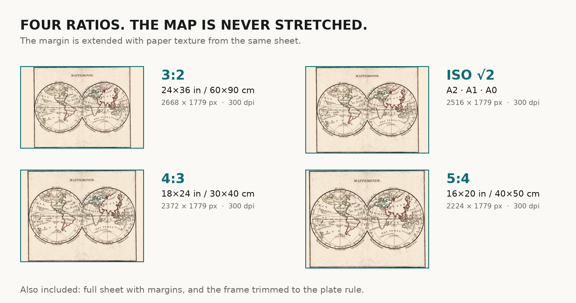
| Crops, one archive each | full sheet · trimmed to the border · 3:2 · 4:3 · 5:4 · ISO A |
| Inside every archive | the JPEG, the restoration passport as a PDF, and a READ ME |
Two print numbers, because you receive two crops of one scan: 17 cm inside the printed border, 29 cm across the full sheet. One restored master: nothing is enlarged.
How to print it
- Matte or lightly textured fine-art paper rather than gloss: hand coloring reads badly under gloss.
- Print in sRGB, with no automatic color correction — the warm paper tone is part of the restoration.
- At this size a wide mount does more than a bigger print. The map is never stretched.
- Where to print it: print shops near you and checked prices at online labs.
Where the scan comes from
Library of Congress, Geography and Map Division, shelfmark G3200 1778 .B7, LCCN 2017585639, no rights advisory on the item. Every map is a scan of a real sheet held in a named archive — library, shelfmark and year, all stated. Nothing generated, nothing redrawn. Catalogue record: Library of Congress →
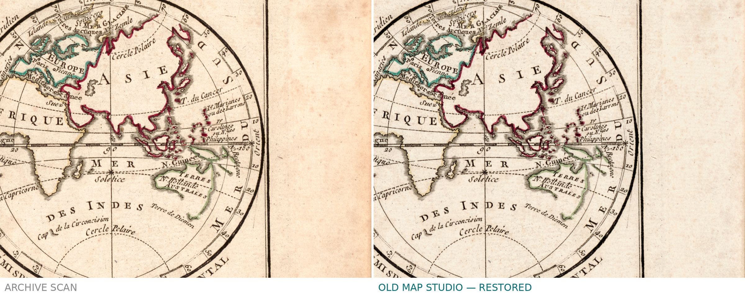
A Library of Congress stamp stood on the lower margin inside the old crop, so it would have reached you. It was removed with two pencil shelfmarks and a brown stain above the title, closed with clean paper from the same sheet. Its lower bar crossed the printed border line, which is continuous again, though at 1:1 two dark stubs of about ten pixels remain. The coloring of the coasts is intact.
Questions we get
What exactly do I get after payment?
Six separate downloads, one per crop: the JPEG at 300 dpi, the restoration passport as a PDF and a READ ME with archive, shelfmark and rights. No TIFF master.
How large can I print it?
Up to 17 cm (7 in) for the map and 29 cm (11 in) for the full sheet with margins, at 300 dpi.
Why does the archive scan show a stamp and a sheet number that my file does not?
The stamp was taken off the margin, and the printed sheet number above the border falls outside our crop. Both are in the passport.
Is this a real old map or a generated picture?
A restored scan of the sheet held under G3200 1778 .B7 — open that record and compare.
Features
- French
Attachments
Reviews
No reviews found
See also
-
 Antique World Map 1700 — Wells, Terraqueous Globe
-
Antique World Map 1651 — Sanson, Mappe-Monde ou Carte Générale
-
Antique World Map 1724 — Delisle, Hemisphere Occidental
-
Antique World Map 1818 — Macpherson, Orbis Veteribus Cognitus
-
Antique World Map 1540 — Münster, Typvs Orbis a Ptol. Descriptus
-
Antique World Map 1618 — Geylekerck, Orbis Terrarum Descriptio