Antique World Map 1700 — Wells, Terraqueous Globe

Description
An old world map of 1700, drawn to the ancient discoveries
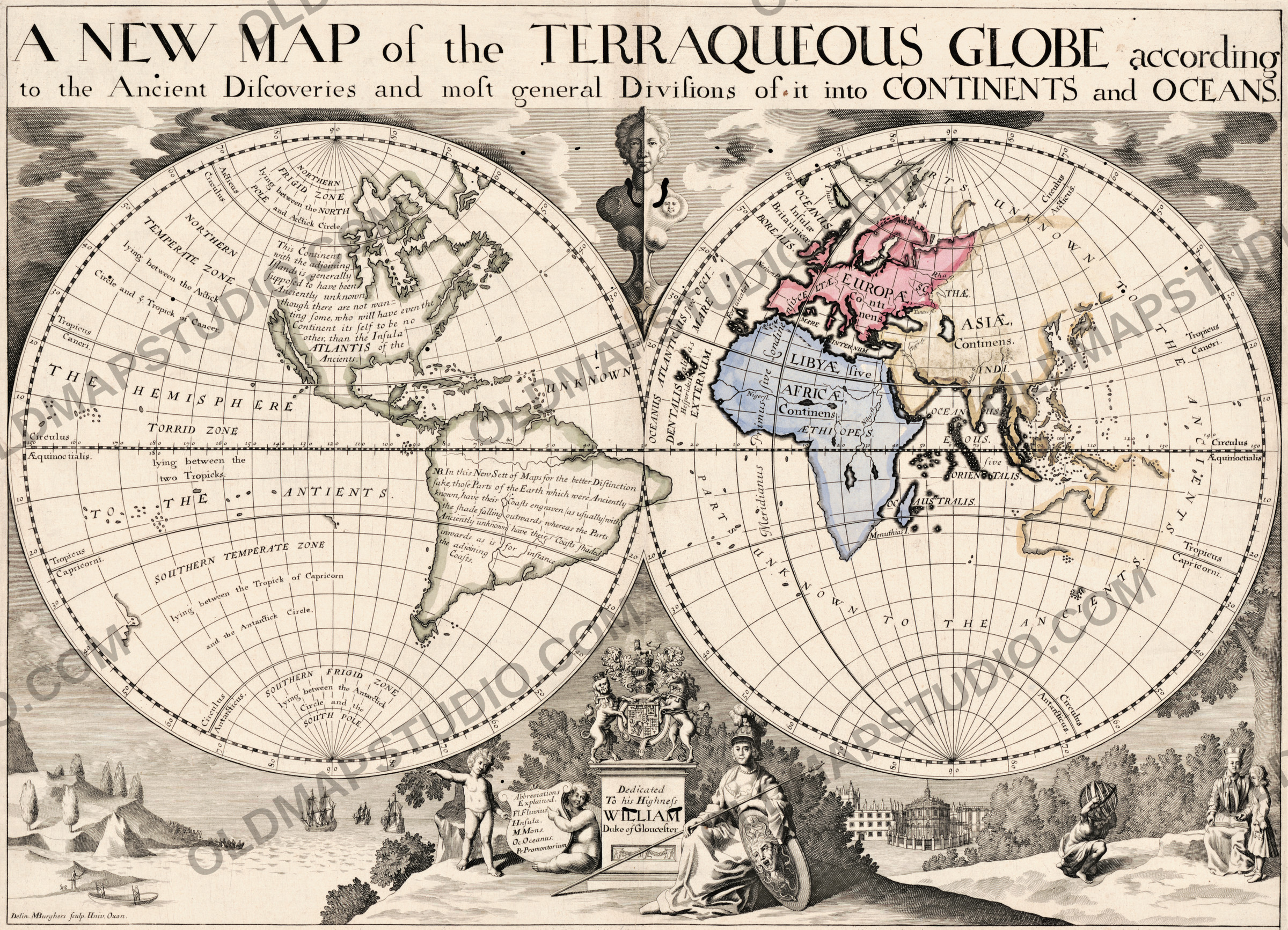
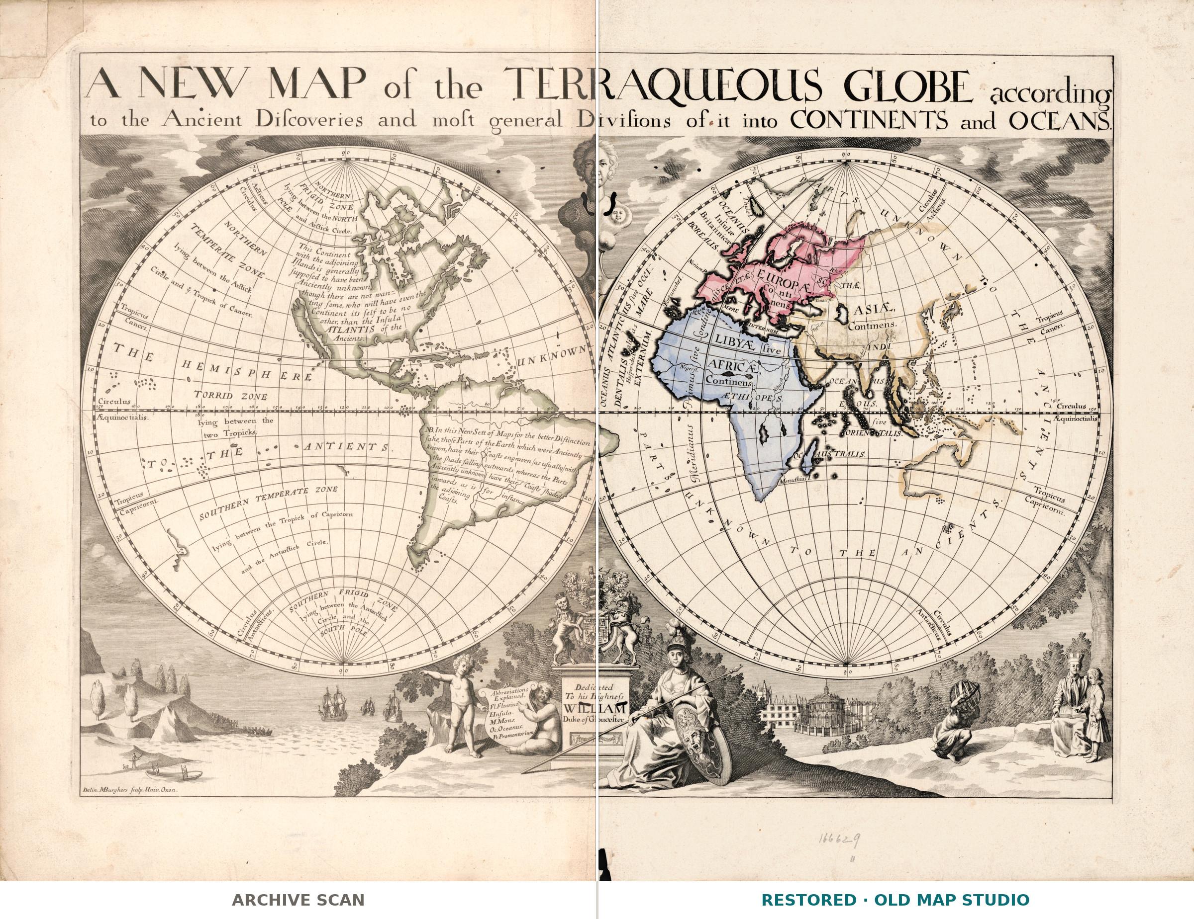
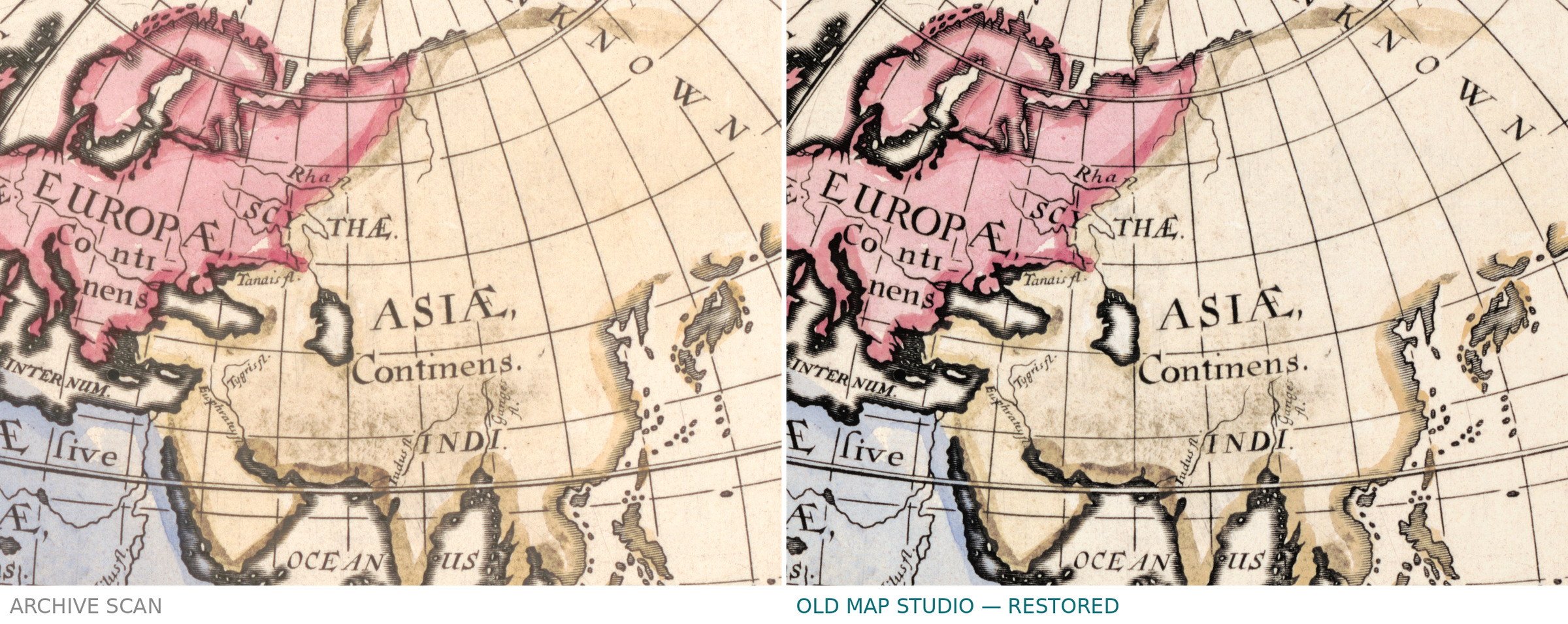
The full title says what kind of map this is: a new map of the terraqueous globe according to the ancient discoveries and most general divisions of it into continents and oceans. It is an ancient world map made in 1700 — the globe as the classical geographers knew it, engraved fresh for readers who were expected to compare it with the modern sheet facing it. Edward Wells put it in his New sett of maps both of antient and present geography, printed at the Theater in Oxford, and Michael Burghers cut the plate. Shirley lists the sheet as number 608.
What is on the sheet
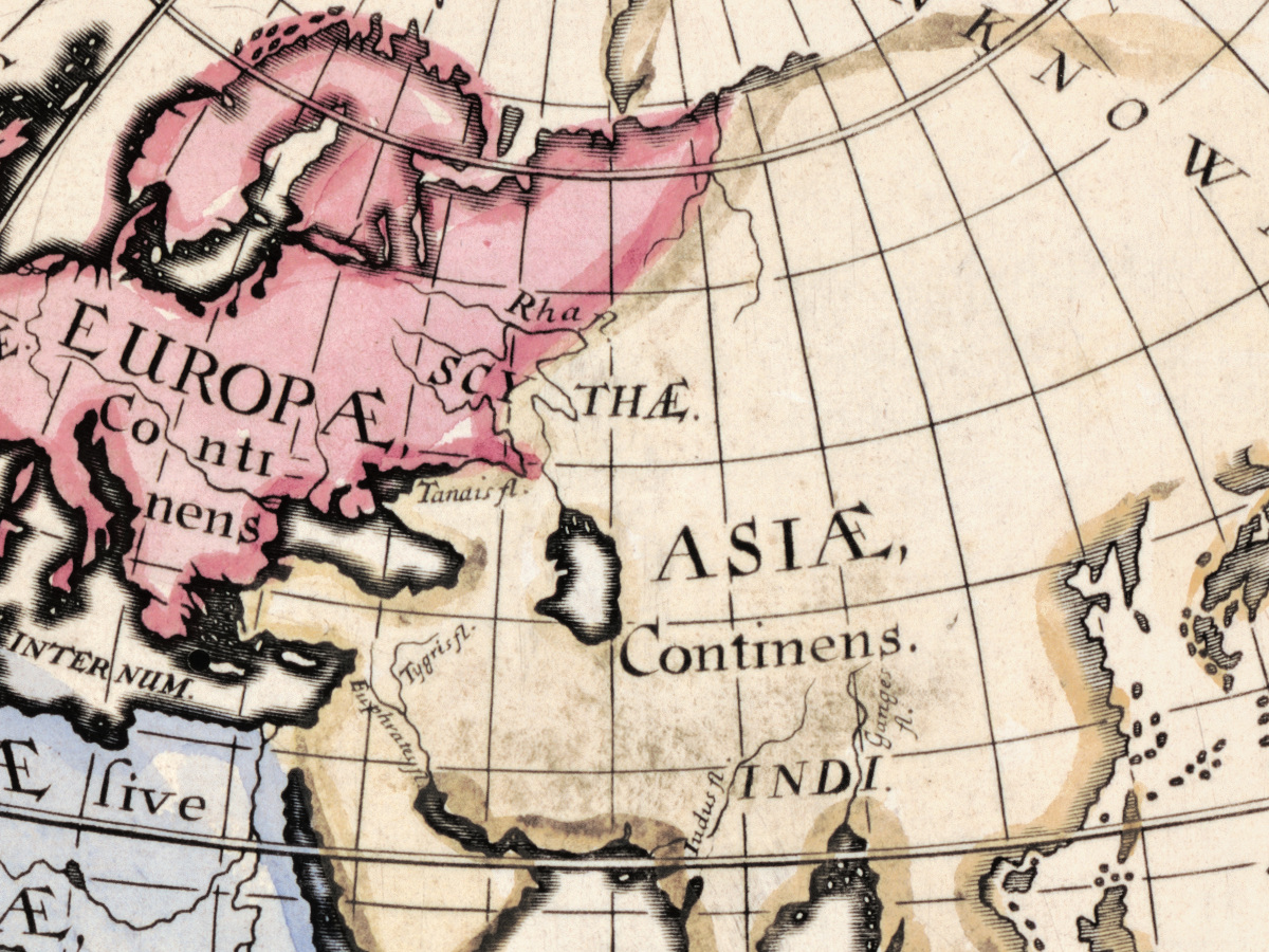
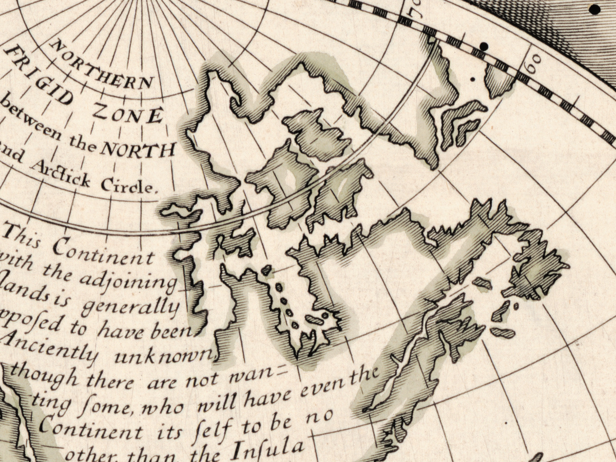
Two hemispheres of 25 cm each on a sheet 44 by 59 cm, with illustrations, notes and a list of abbreviations around them. The sheet is bilingual by design, and the record is precise about how: the title, the text and the place names in the western hemisphere are English, while the place names in the eastern hemisphere are Latin. On one page you can watch a scholar's Latin give way to the vernacular, half a world at a time.
Wells, Oxford and the missing letter
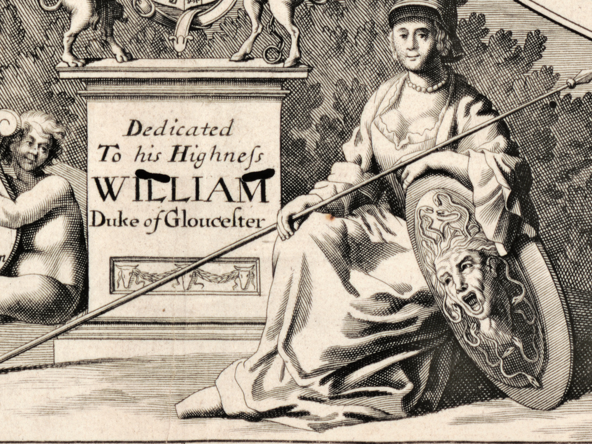
Edward Wells (1667–1727) was an Oxford divine who made maps for teaching, in pairs: the ancient world beside the modern one. This impression can be placed in the series precisely, because the catalogue notes a detail on the plate — it lacks the letter I underneath the dedication, which is present in the atlas editions from 1718 onward. That single missing letter is why the sheet is dated 1700 and not later.
Your file
| Original | Edward Wells, printed at the Theater, Oxford, 1700; plate cut by Michael Burghers |
| Sheet | 44 × 59 cm, two hemispheres of 25 cm |
| Scan | full sheet 6920 × 5112 px; the map inside the neat line 6054 × 4371 px. From the library's own scan, not an upscale |
| Print size at 300 dpi | the map prints to 51 cm (20 in), the full sheet with margins to 58 cm (22 in) |
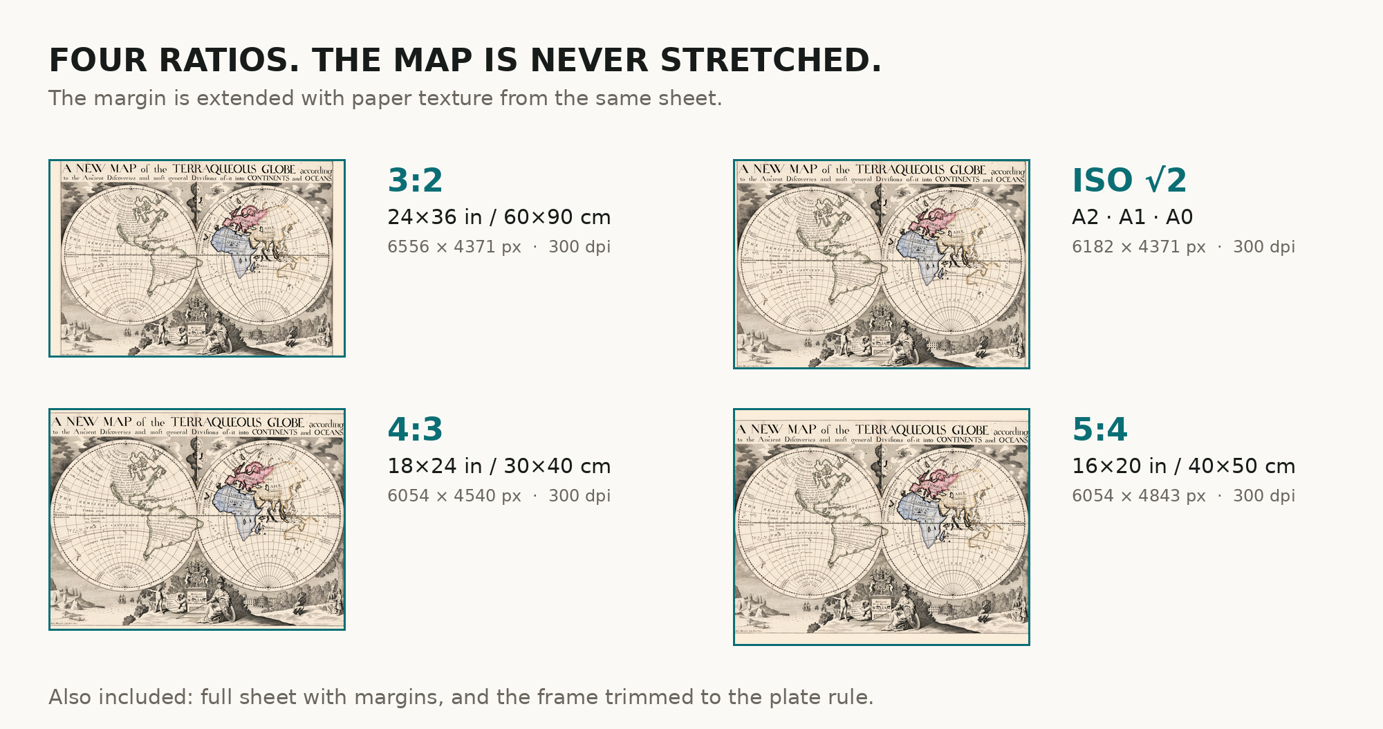
| You download | six ZIP archives: full sheet, trimmed, 3:2, 4:3, 5:4 and ISO A |
| Inside each one | one JPEG at 300 dpi, the restoration passport as a PDF, a READ ME |
How to print
- Pick the archive whose proportions match your frame, so nothing is cropped or stretched.
- The list of abbreviations is small type — print large if you want it readable.
- Ask for matte fine-art paper, printed in sRGB with auto-enhancement off.
- Where to print it: print shops near you and checked prices at online labs.
Source and rights
Library of Congress, Geography and Map Division, call number G3200 1700 .W4, LCCN 2017585804. The Library states that the content is free to use and reuse and asks to be credited as Library of Congress, Geography and Map Division. The archive and the shelfmark are named in the passport inside every archive. Catalogue record: Library of Congress →
Questions
What exactly do I get after payment?
Six ZIP archives, each with one JPEG at 300 dpi, the restoration passport as a PDF and a READ ME. There is no TIFF master in the package.
How large can I print it?
Two numbers, because you get two files. The map prints to 51 cm (20 in) on the long side; the full sheet with its margins goes to 58 cm (22 in).
Why is half of it in Latin?
Because that is how the plate was engraved. The record states it plainly: English title, text and place names in the western hemisphere, Latin place names in the eastern.
Is the coloring original?
The record says nothing about coloring, so we claim nothing either. We add no color of our own.
Features
- English
- Latin
Attachments
Reviews
No reviews found
See also
-
 Antique World Map 1724 — Delisle, Hemisphere Occidental
-
Antique World Map 1778 — Brion de la Tour, Mappemonde
-
Antique World Map 1540 — Münster, Typvs Orbis a Ptol. Descriptus
-
Antique World Map 1651 — Sanson, Mappe-Monde ou Carte Générale
-
Antique World Map 1850 — Burr, Mercator's Projection
-
Antique World Map 1818 — Macpherson, Orbis Veteribus Cognitus