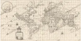
Antique World Map 1715 — Renard, Planisphere


Description
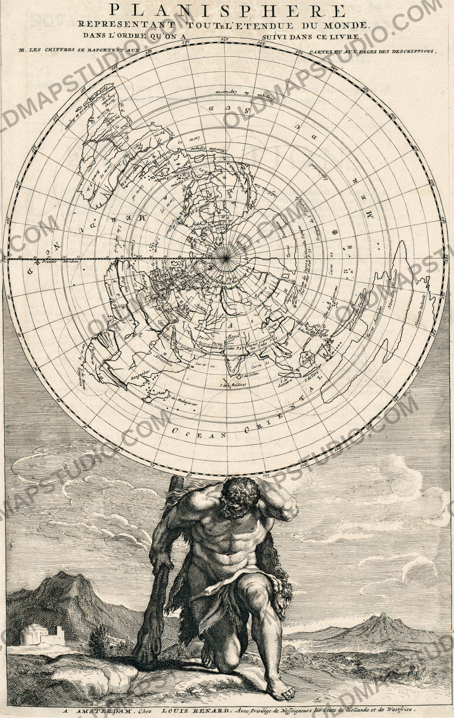
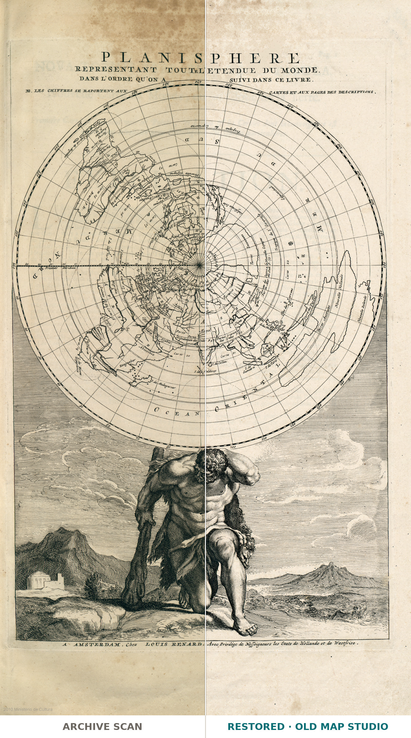
An old world map from Amsterdam, 1715, made for a book
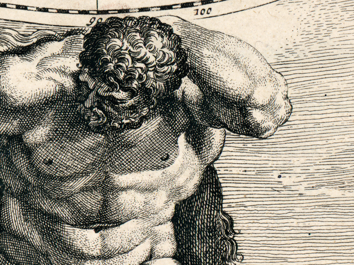
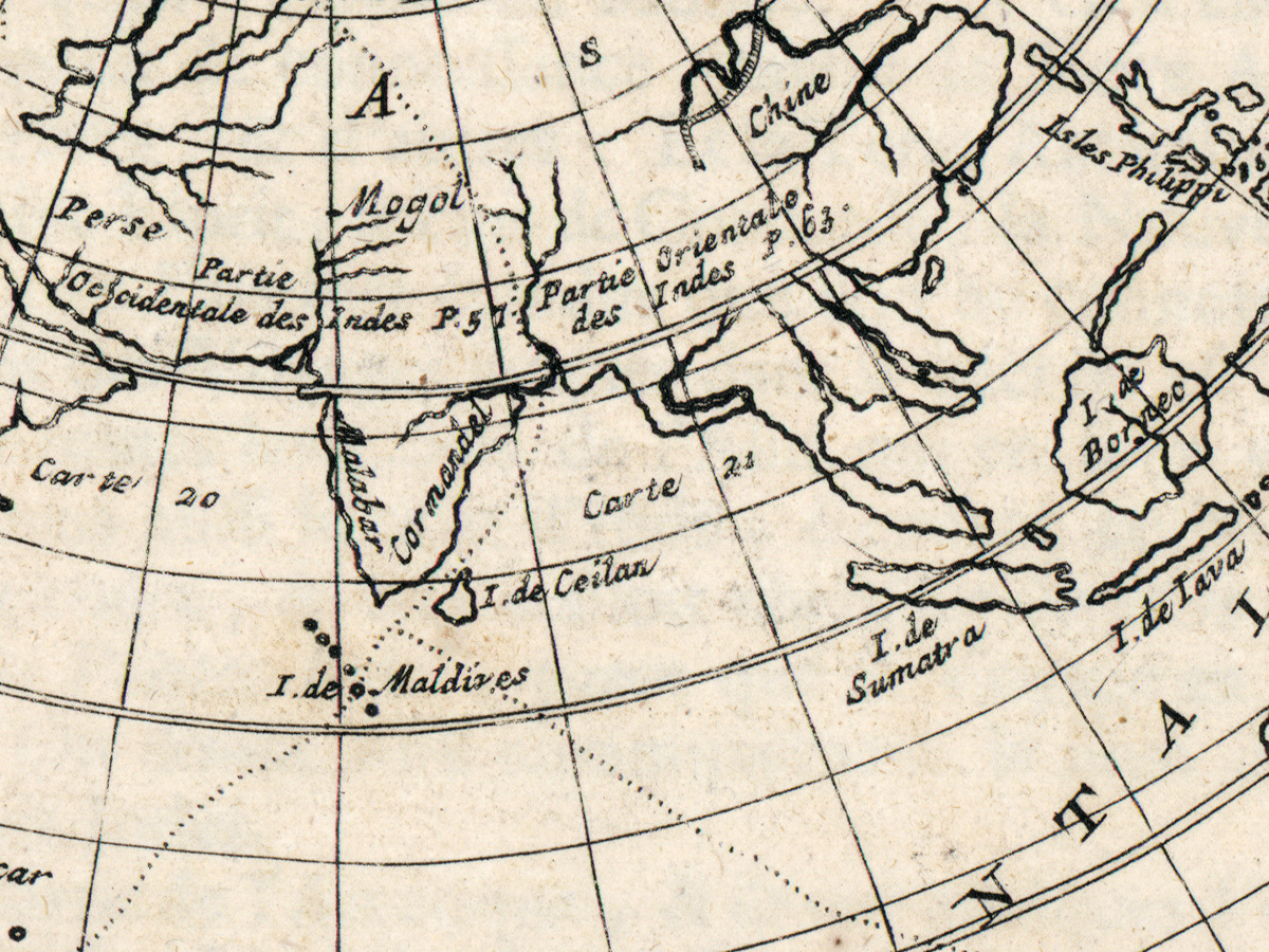
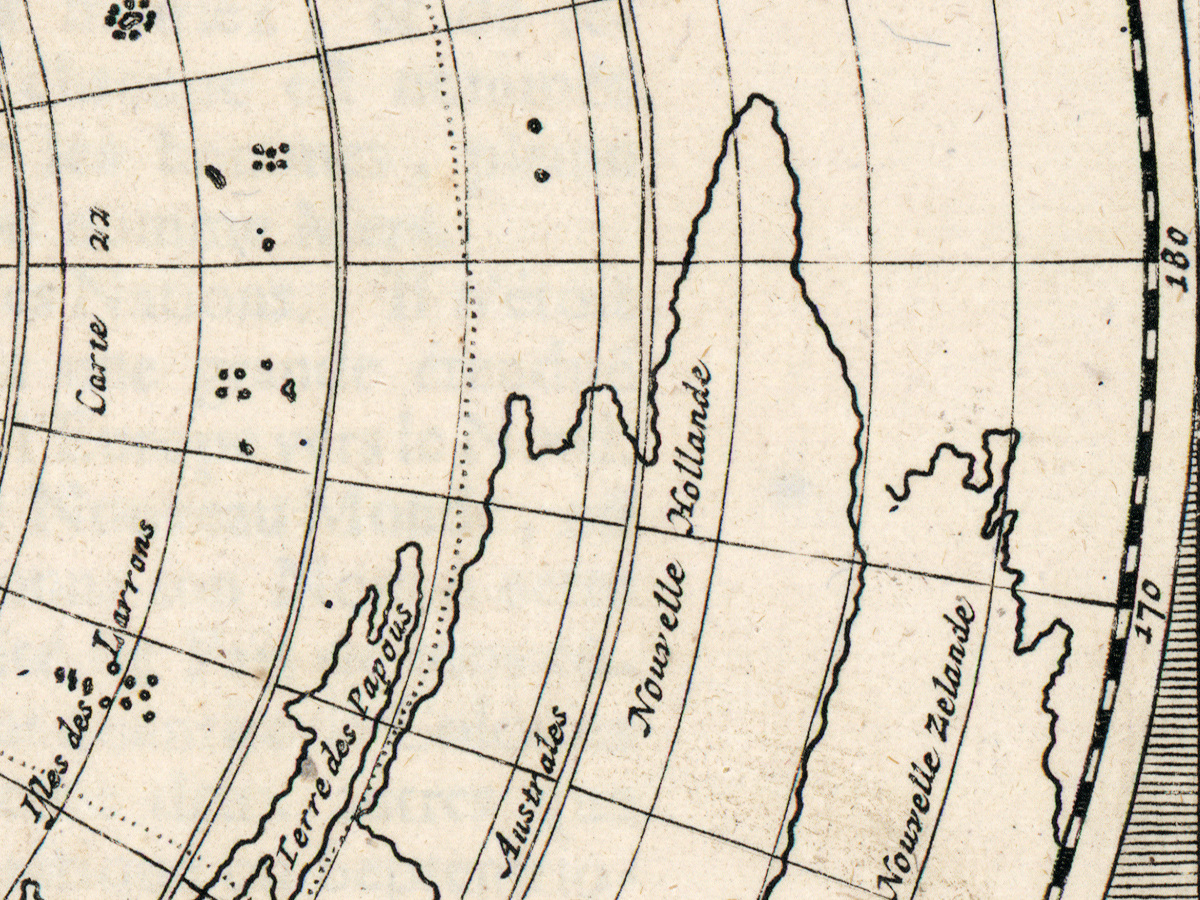
The title ties the sheet to a volume: Planisphere representant toute l'etendue du monde dans l'ordre qu'on a suivi dans ce livre — a planisphere of the whole extent of the world, in the order followed in this book. The record names Louis Renard, born around 1678, and the imprint Ex officina L. Renard; on the sheet the address reads A Amsterdam, chez Louis Renard. Which book it belonged to, the record does not say, and we do not guess.
What is on the sheet
The original measures 51 × 58 cm and is lettered in French; the record dates it [1715]. It names neither the printing technique nor any coloring. Before packing we removed the digitizer's credit line, “2010 Ministerio de Cultura”, from the bottom margin; the passport lists each change.
Your file
| Original | Louis Renard, Amsterdam, 1715 |
| Sheet | 51 × 58 cm |
| Scan | full sheet 4584 × 7976 px, taller than wide; the map inside the trimmed border 4244 × 6704 px |
| Print size at 300 dpi | the map prints to 56 cm (22 in), the full sheet with margins to 67 cm (26 in), on the long side |
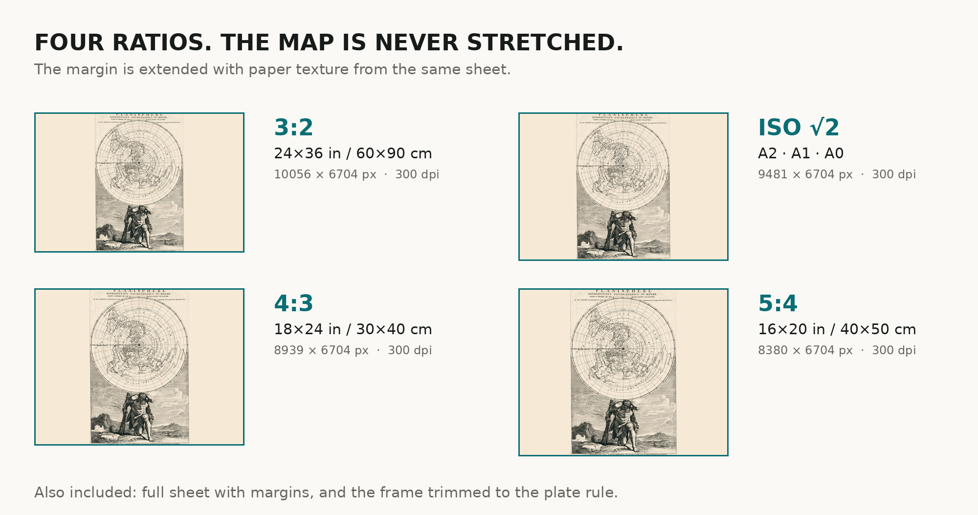
| You download | six ZIP archives: full sheet, trimmed, 3:2, 4:3, 5:4 and ISO A |
| Inside each one | one JPEG at 300 dpi, the restoration passport as a PDF, a READ ME |
How to print
- For a portrait frame take the full or trimmed version; matte fine-art paper, sRGB, auto-enhancement off.
- Where to print it: print shops near you and checked prices at online labs.
Source and rights
Museo Naval; digital copy made in 2010 for the Spanish Ministry of Culture and published by the Biblioteca Virtual del Patrimonio Bibliográfico, record 477826. The digital copy is licensed CC BY 4.0, which requires crediting the source; the credit is in the READ ME of every archive. There is no TIFF master in the package. Catalogue record: Europeana (BVPB) →
Features
- French
Attachments
Reviews
No reviews found
See also
-
 Antique World Map c. 1690 — Morden & Berry, To Capt. John Wood
-
Antique World Map c. 1508 — Egerton Portolan Atlas, Plate 14
-
Antique World Map c. 1807 — Arrowsmith, The World
-
Antique World Map 1708 — De la Feuille, Mapemonde Planisphere
-
Antique World Map 1684 — Sanson, Mappa Mondo
-
Old World Map — Mappemonde de Leipzig, Jomard's Monuments