Antique World Map 1752 — Robert de Vaugondy, Mappemonde
Video
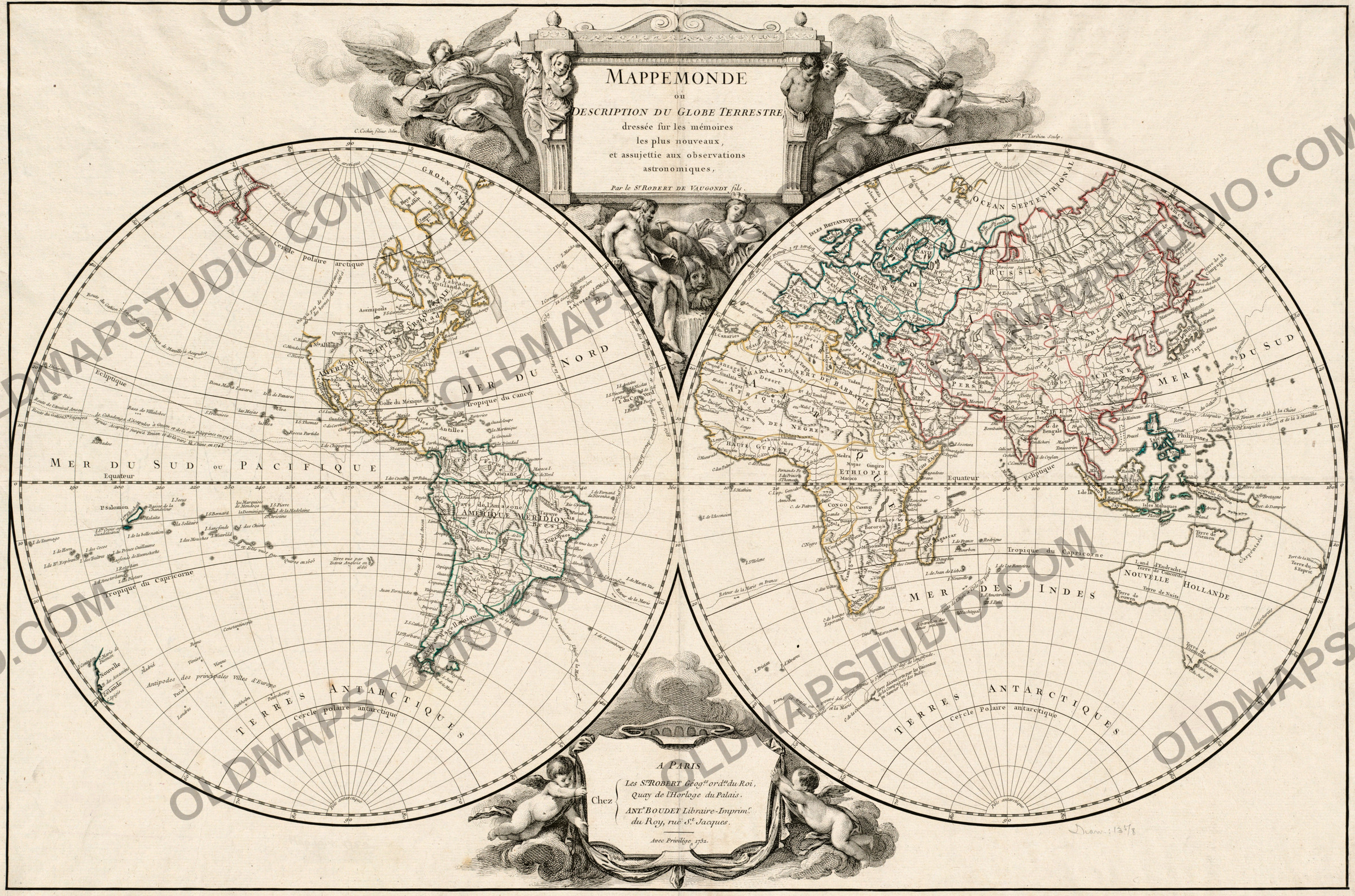
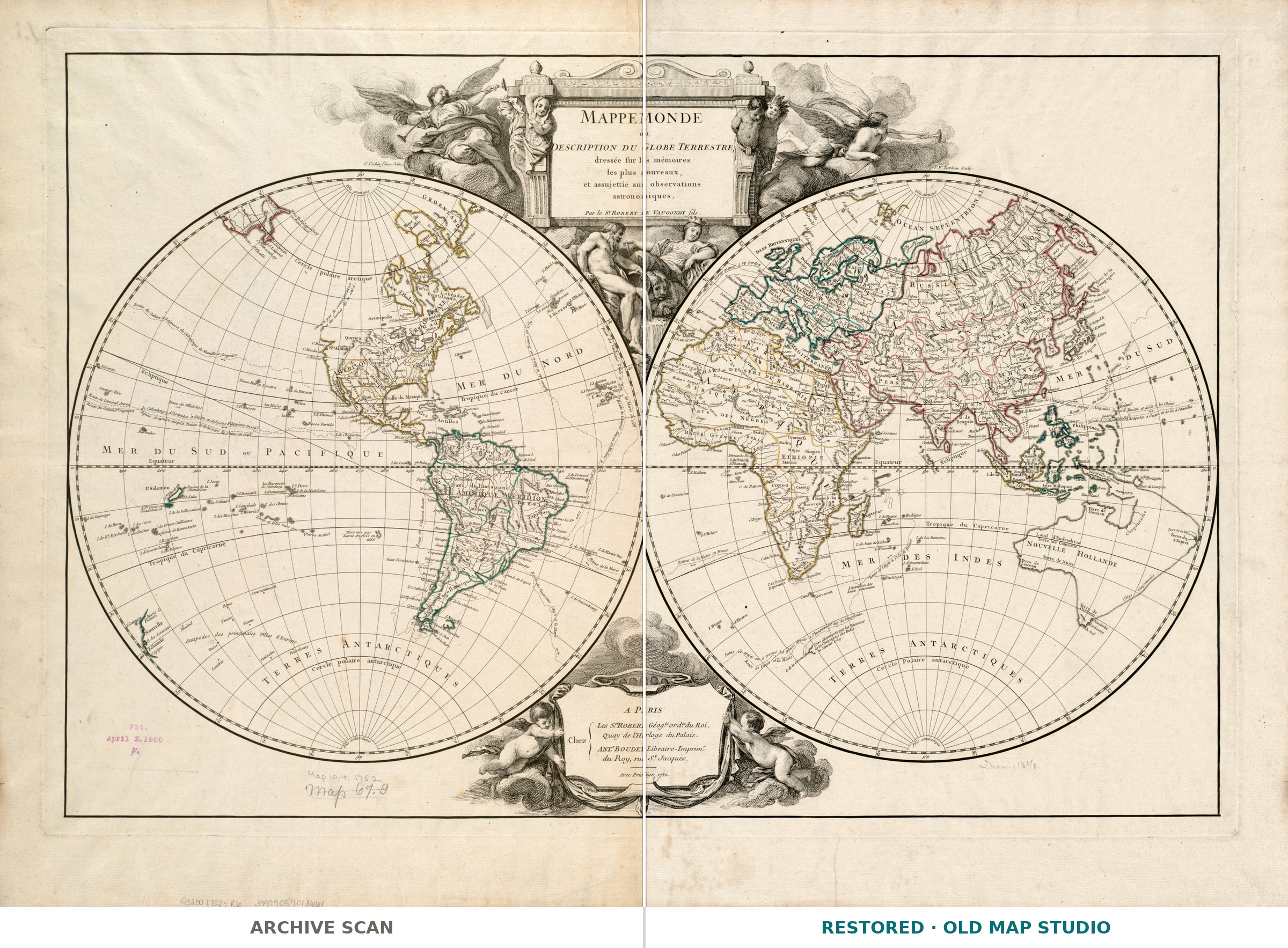
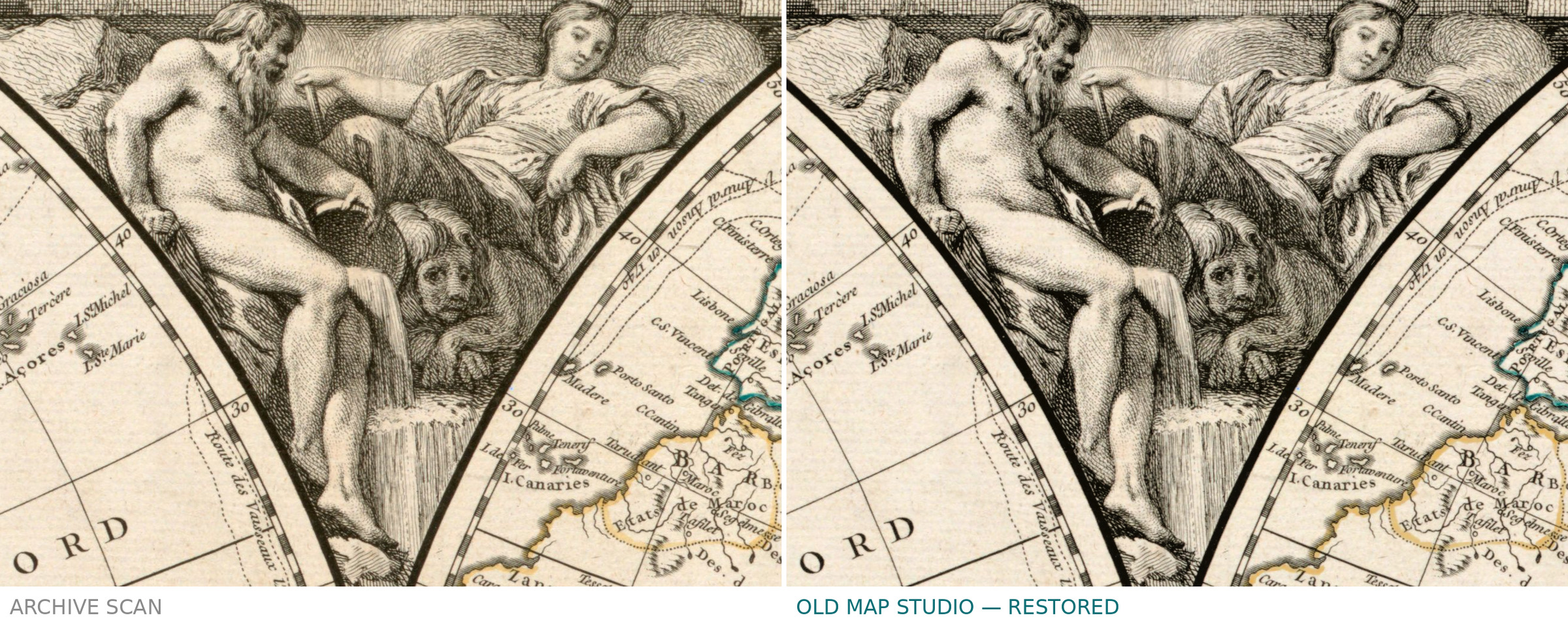
Mappemonde, 1752: library scan vs restored
Description
An old world map from the Paris workshop of Robert de Vaugondy
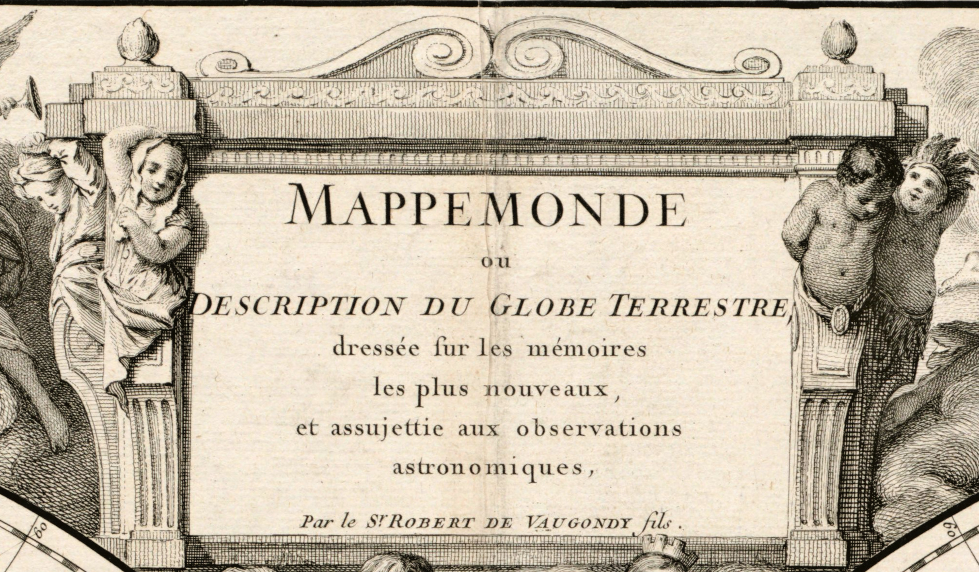
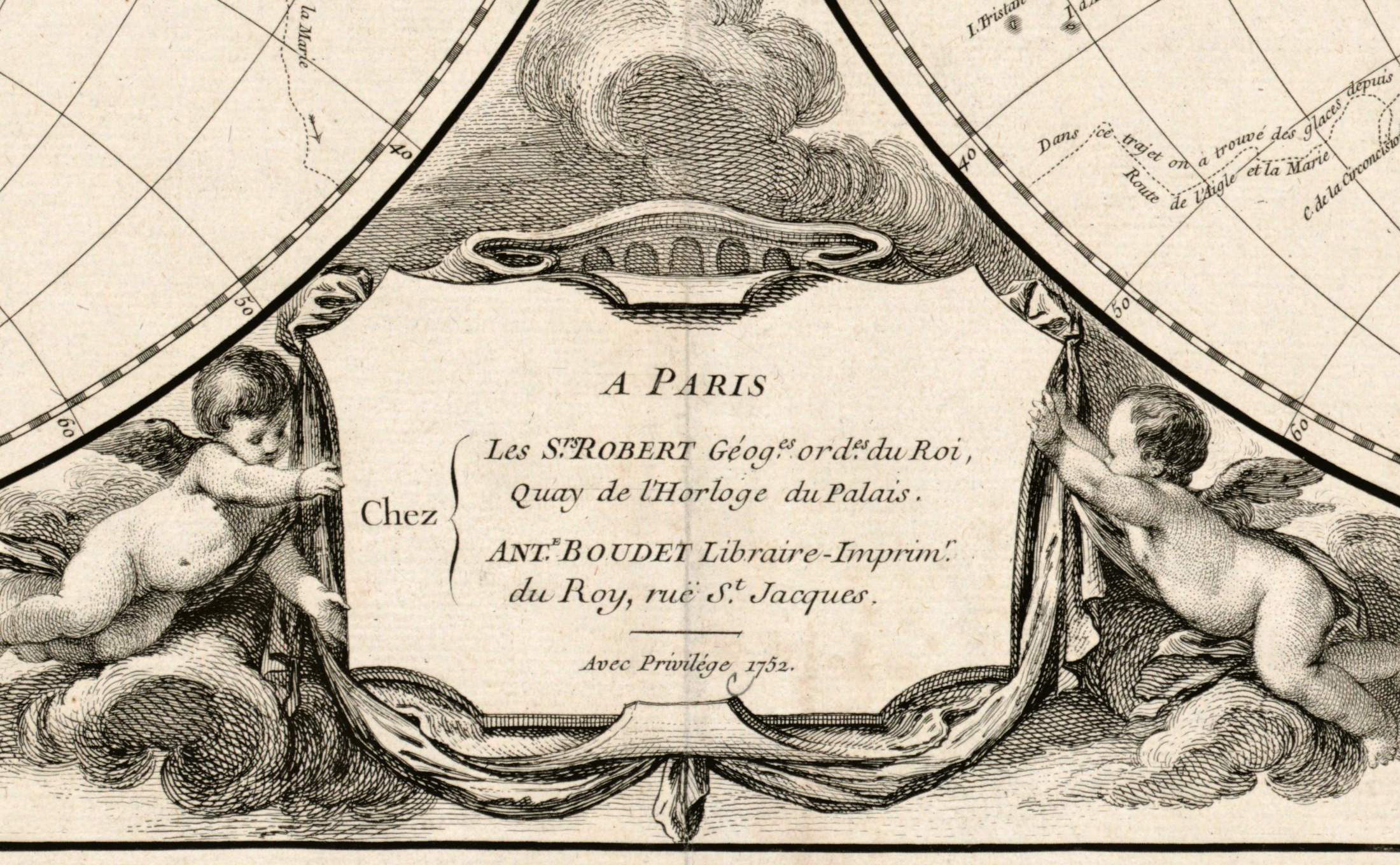
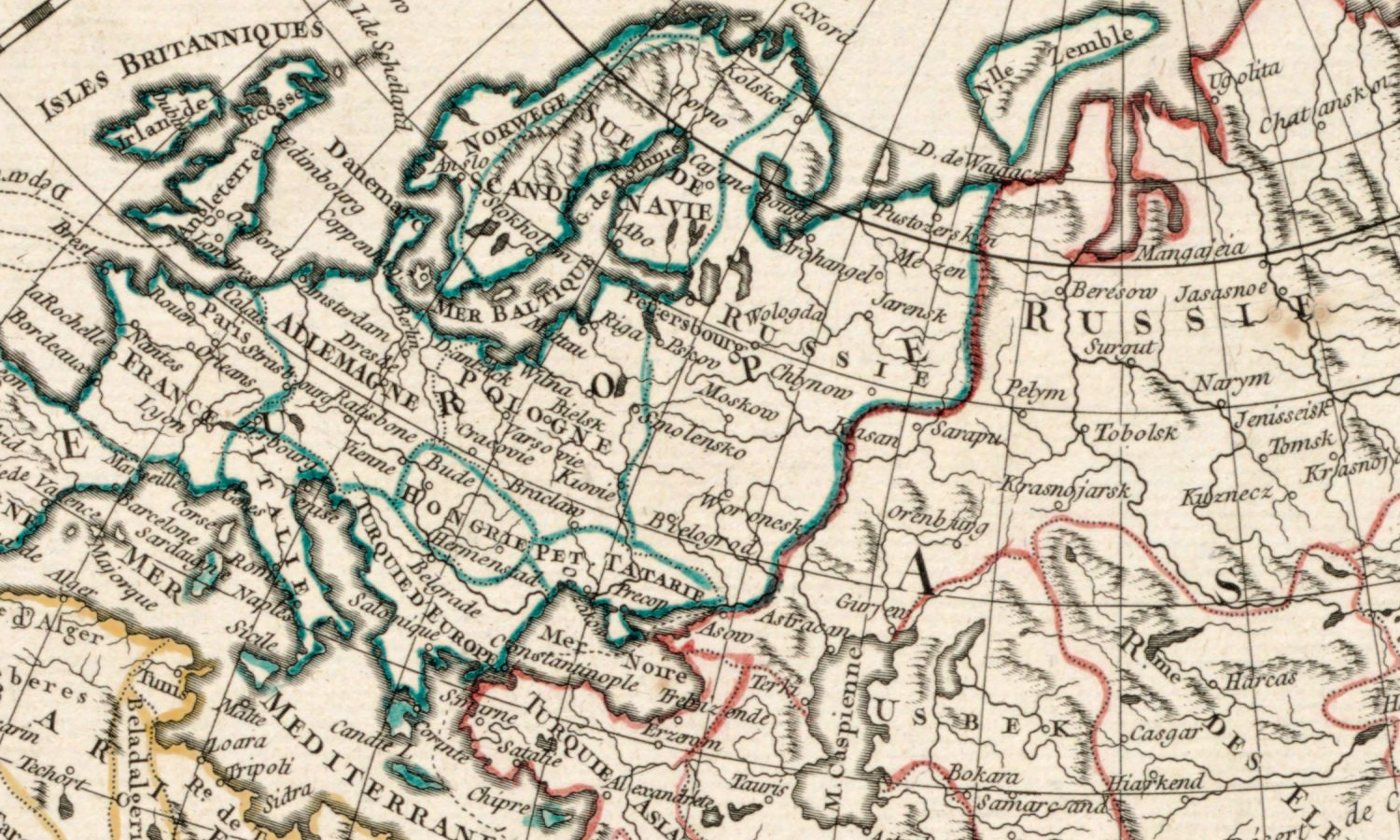
Mappemonde ou Description du globe terrestre: the title is plain, and so is the ambition behind it. Didier Robert de Vaugondy was twenty-nine in 1752 and already working in the family house that would supply France with atlases for the rest of the century. Two hemispheres, 35 cm across each, hand-colored, mounted on a sheet of 56 × 79 cm, with relief drawn pictorially. The imprint reads: A Paris, chez les srs Robert, and the bookseller Antoine Boudet.
What the catalogue records
The Norman B. Leventhal Map & Education Center at the Boston Public Library gives the scale as roughly 1:27,500,000 and adds a detail most catalogues leave out: the scale was determined from the graticule, measured at 15° north. That is the kind of note that tells you the sheet was measured rather than guessed at. Identifier 06_01_005933, shelfmark G3200 1752 .R6, subject heading world maps, early works to 1800. One honest point: two library stamps and a pencil note fall inside the printed area of the sheet. We left them where they are — they are part of the object's history, not damage to be painted out.
France between two surveys
1752 sits in the middle of the French century of measurement: the Académie royale des sciences had reformed the map of France, the Cassini survey was under way, and Paris had become the place where a hemisphere was expected to be accurate rather than decorative. A Vaugondy world map of these years is drawn to that standard — the ornament kept in the cartouche, the coastlines left to speak for themselves. 1752 is the year of this sheet, not necessarily of the first cutting of the plate.
Your file
| Original | Didier Robert de Vaugondy, Paris, 1752, copper engraving, hand color |
| Sheet | 56 × 79 cm, each hemisphere 35 cm across |
| Scan | 8769 × 6178 px, from the library's own scan, not an upscale |
| Print size at 300 dpi | up to 67 cm (26 in) on the long side |
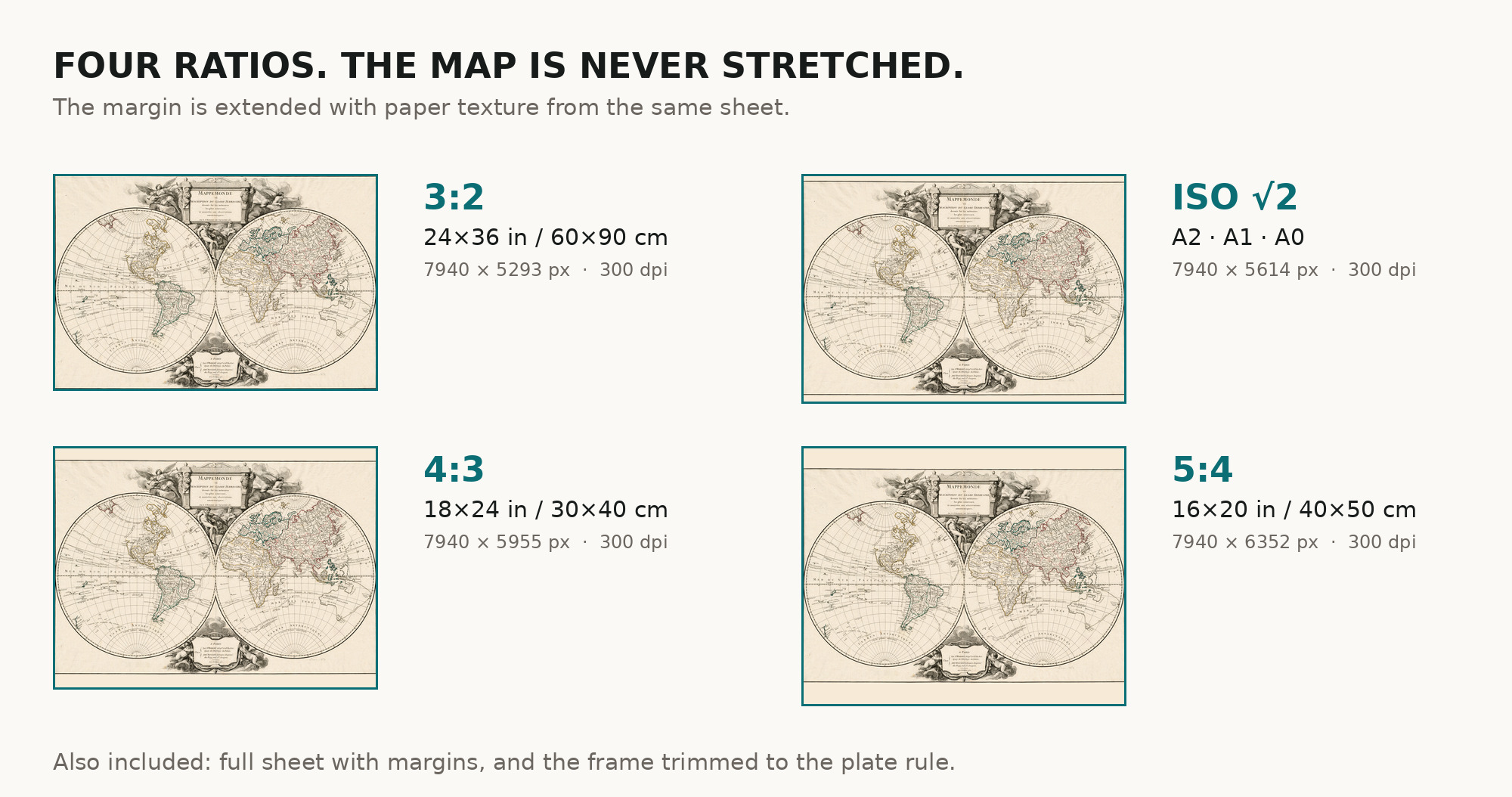
| You download | six ZIP archives: full sheet, trimmed, 3:2, 4:3, 5:4 and ISO A |
| Inside each one | one JPEG at 300 dpi, the restoration passport as a PDF, a READ ME |
How to print
- Print at 300 dpi at the size above and do not let the shop scale the file up.
- Pick the archive whose proportions match your frame, so nothing is cropped or stretched.
- Ask for matte fine-art paper, printed in sRGB with auto-enhancement off.
- Where to print it: print shops near you and checked prices at online labs.
Source and rights
Boston Public Library, Norman B. Leventhal Map & Education Center Collection, identifier 06_01_005933, shelfmark G3200 1752 .R6, record commonwealth:2514p0685. No known copyright restrictions and no known restrictions on use; the library is named in the passport inside every archive. Catalogue record: Leventhal Map & Education Center →
Questions
What exactly do I get after payment?
Six ZIP archives, each with one JPEG at 300 dpi, the restoration passport as a PDF and a READ ME. There is no TIFF master in the package.
How large can I print it?
Up to 75 cm (29 in) on the long side at 300 dpi, taken from the resolution of the library's scan, not from an upscale.
Why are there stamps on the map?
Because the library marked its own copy, and two of those marks fall inside the printed area. Removing them would mean repainting the sheet, so they stay and we say so.
Is the coloring original?
Yes. The catalogue records the sheet as hand-colored, so the color you see is of its own period, not ours.
Features
- French
Attachments
Reviews
No reviews found
See also
-
 Antique World Map 1706 — Moll, A New Map of the World
-
Antique World Map c. 1696 — Sanson, Mappe-monde
-
Antique World Map 1680 — Sanson, A Mapp of All the World
-
Antique World Map 1816 — Stieler, Planiglob der Antipoden
-
Antique World Map 1794 — Dunn, A New Map of the World
-
Antique World Map 1799 — Chart of the World