Antique World Map 1677 — Duval, Carte Vniverselle du Commerce

Description
An old world map of the routes of trade, Paris 1677
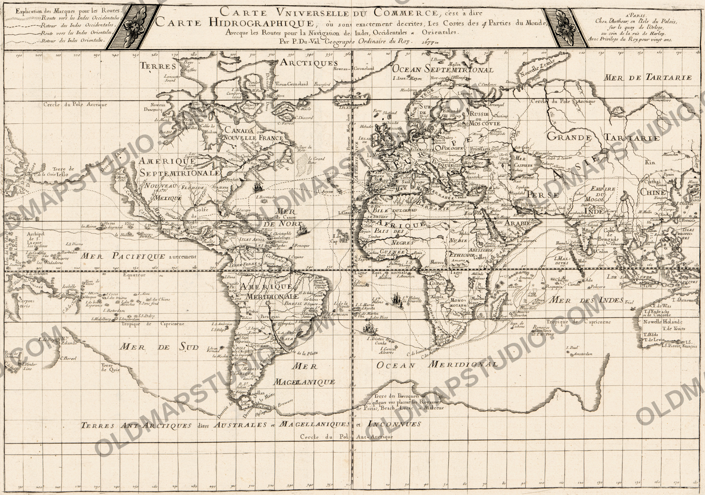
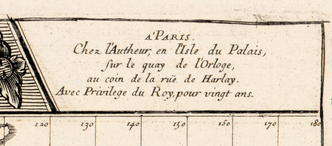
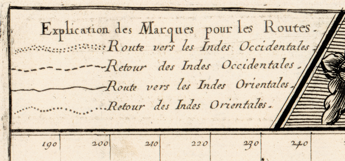
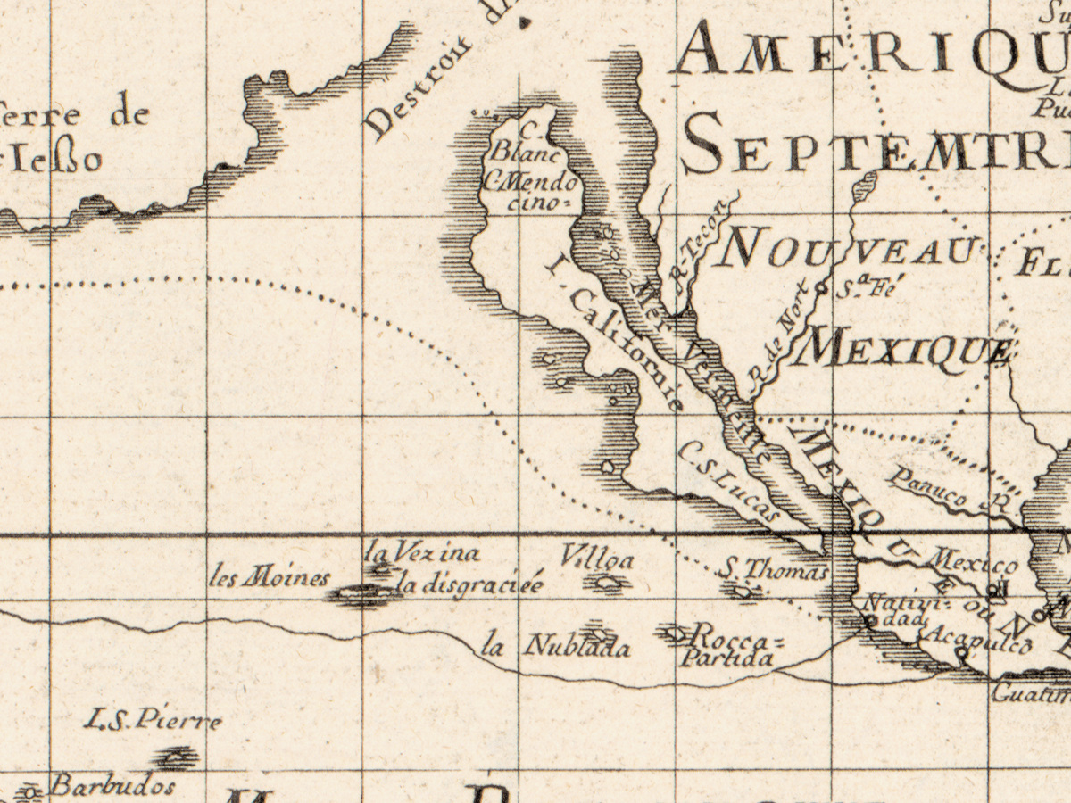
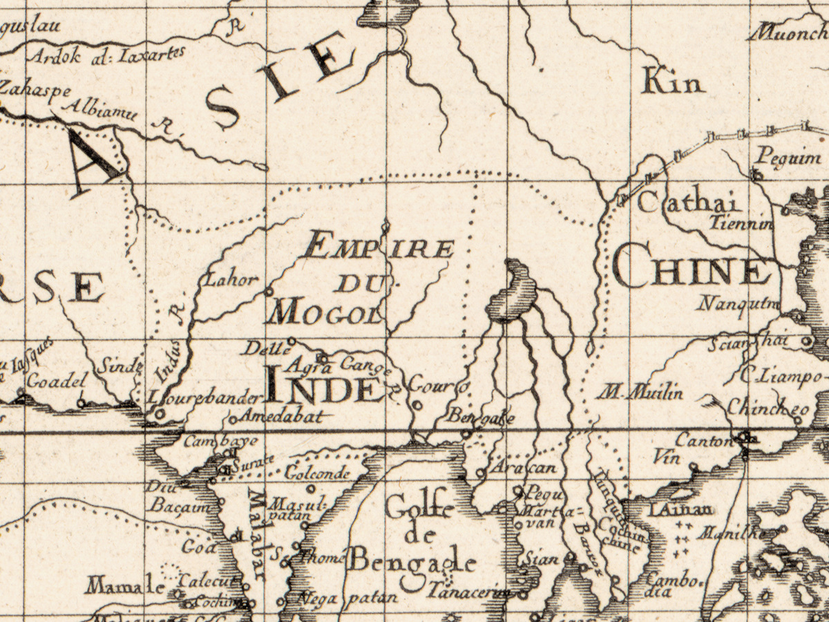
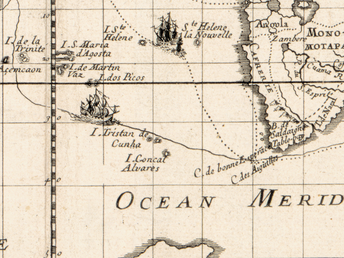
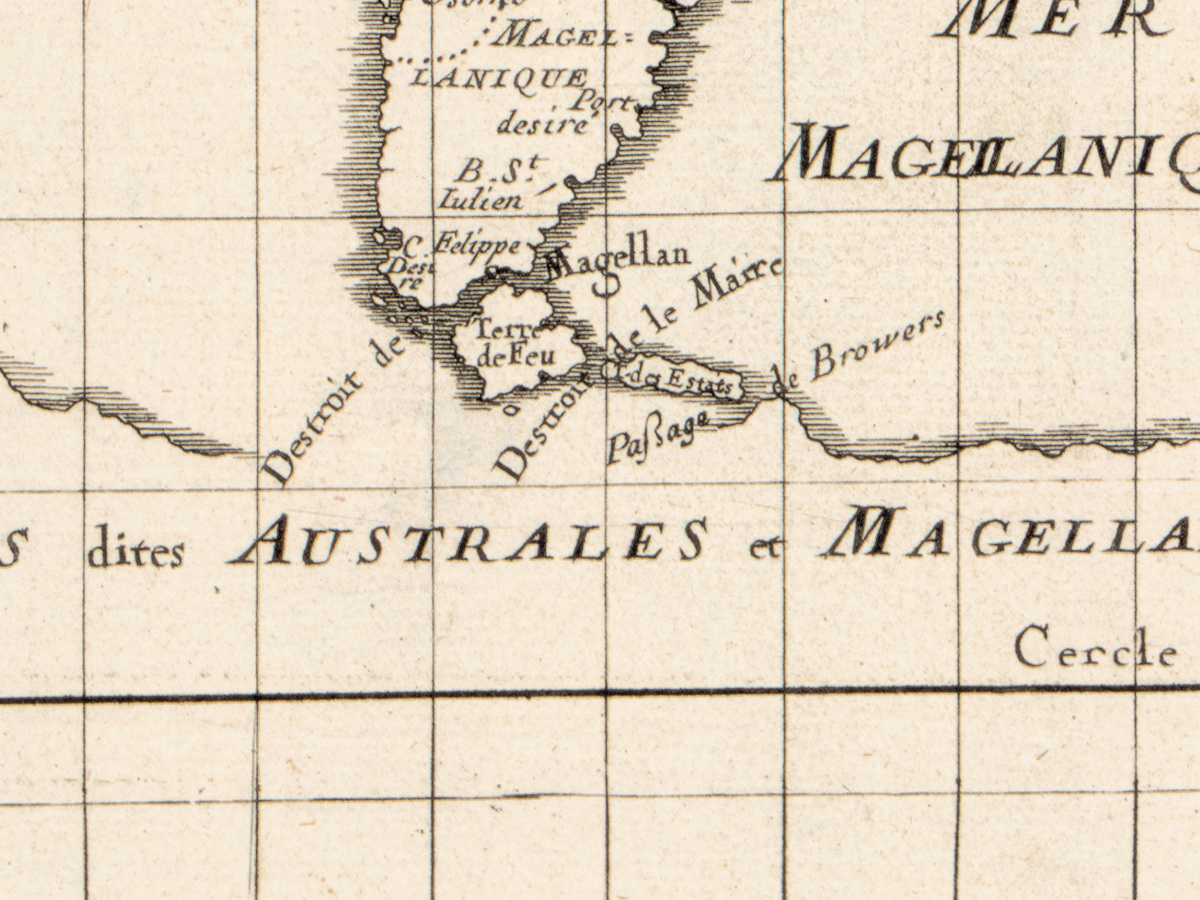
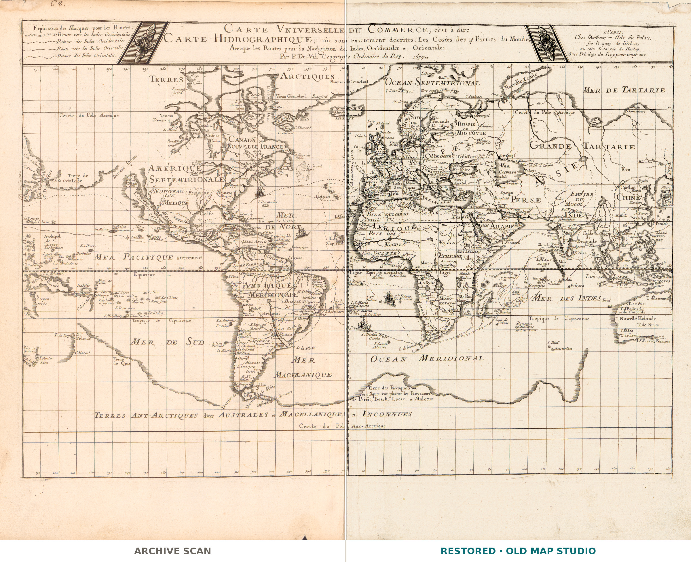
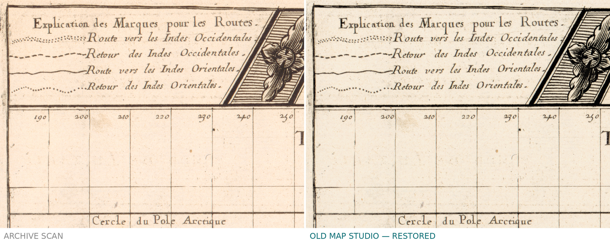
Pierre Duval did not call this a map of the world but a chart of its coasts: Carte vniverselle du commerce, c'est à dire carte hidrographique — a universal chart of commerce, that is to say a hydrographic one, giving the coasts of the four parts of the world with the sailing routes to both Indies. Ships are drawn along those routes, relief is shown pictorially, and California is still an island. Duval printed and sold the sheet himself, on the Île du Palais by the quay of the clock, under a royal privilege of twenty years.
Your file
| Original | Pierre Duval, Paris, published by the author, 1677 |
| Sheet | 34 × 54 cm |
| Scan | 6685 × 5223 px, from the library's own scan, not an upscale |
| Print size at 300 dpi | the map prints to 53 cm (21 in), the full sheet with margins to 56 cm |
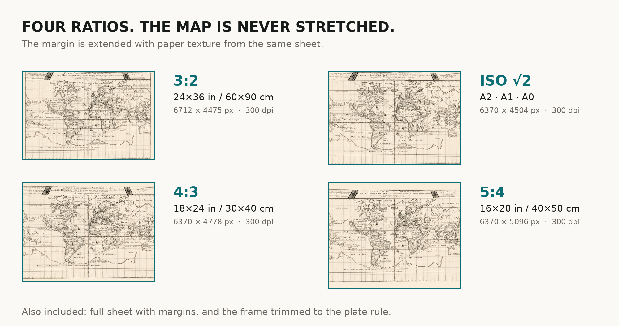
| You download | six ZIP archives: full sheet, trimmed, 3:2, 4:3, 5:4 and ISO A |
| Inside each one | one JPEG at 300 dpi, the restoration passport as a PDF, a READ ME |
How to print
- Print at 300 dpi at the size above and do not let the shop scale the file up.
- Pick the archive whose proportions match your frame, so nothing is cropped or stretched.
- Ask for matte fine-art paper, printed in sRGB with auto-enhancement off.
- Where to print it: print shops near you and checked prices at online labs.
Source and rights
Library of Congress, Geography and Map Division, call number G3200 1677 .D8, LCCN 2017585711; the sheet is listed by Shirley as number 364. The library states it is free to use and reuse. Archive and shelfmark are named in the passport inside every archive. Catalogue record: Library of Congress →
Features
- French
Attachments
Reviews
No reviews found
See also
-
 Antique World Map 1541 — Fries, Tabula Noua Totius Orbis
-
Antique World Map 1811 — d'Anville, Orbis Veteribus Notus
-
Antique World Map c. 1750 — Izobrazhenie Zemnogo Globusa
-
Antique World Map 1848 — Johnston, Zoological Geography
-
Antique World Map 1714 — Delisle, Orbis Veteribus Noti
-
Antique World Map 1870 — Barber, Pharmaceutical Map