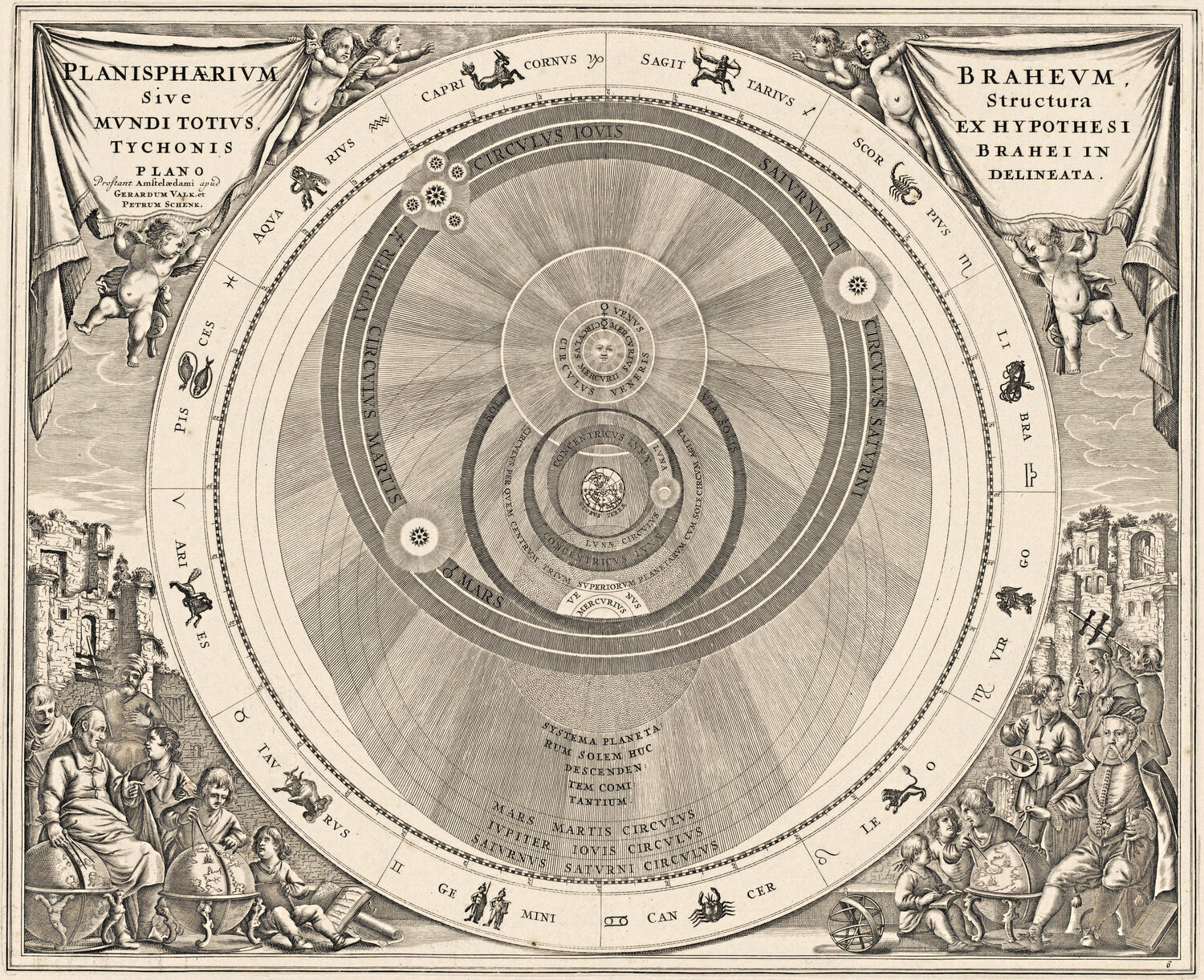
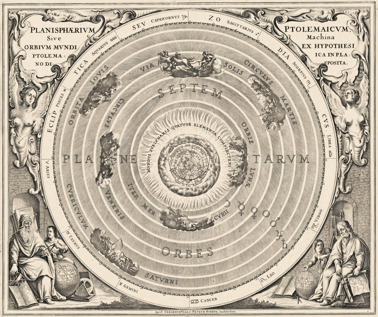
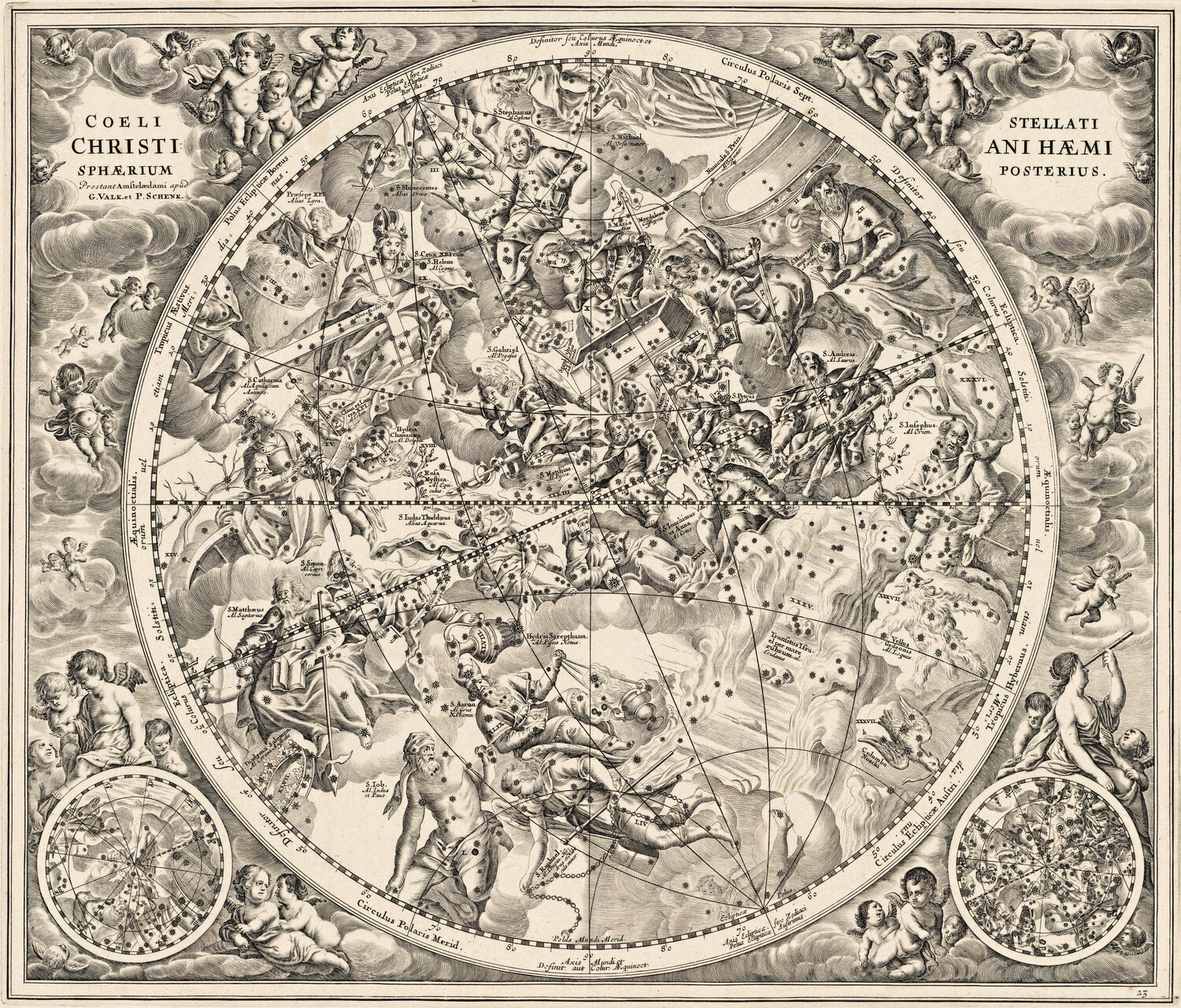
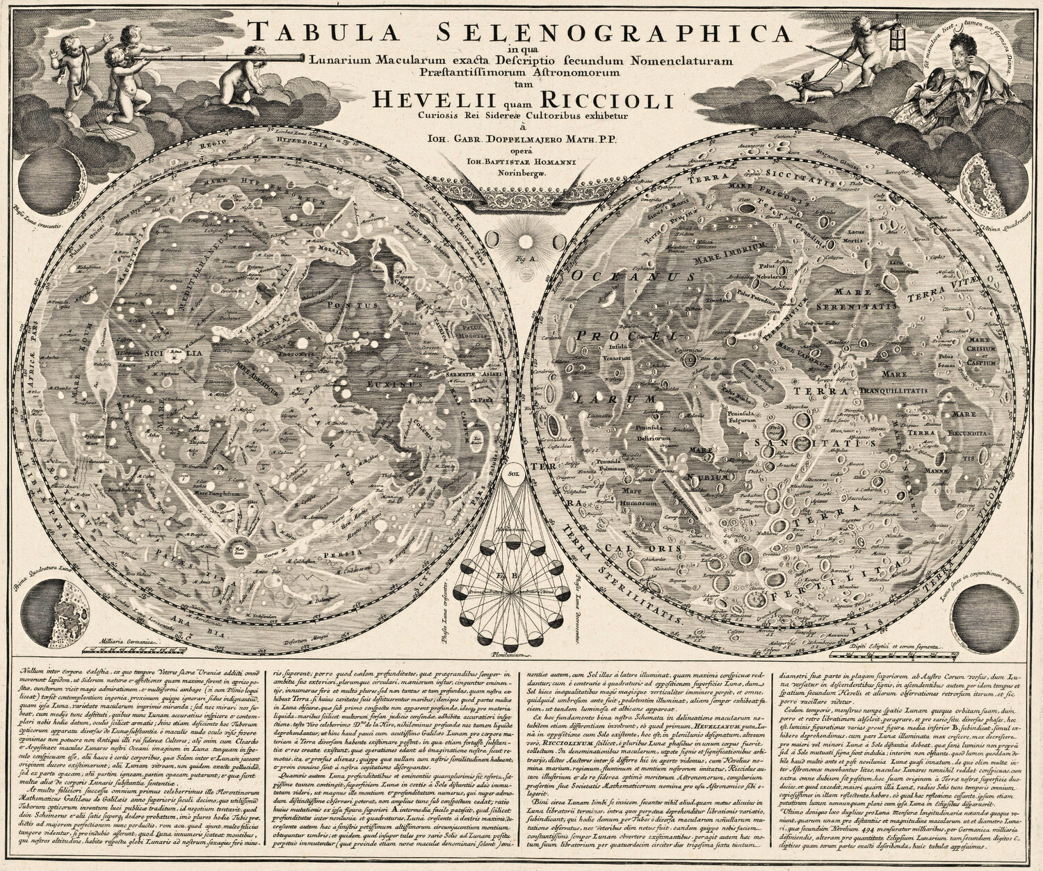
Zwanzig restaurierte antike Karten zum kostenlosen Herunterladen in Bildschirmauflösung (1500 px) — für Unterricht, Schulprojekte, Artikel, Blogbeiträge, Präsentationen und Familienforschung. Ohne Anmeldung, ohne E-Mail.
Kostenlos für private, schulische, redaktionelle und nichtkommerzielle Nutzung. Wir bitten nur um eine Quellenangabe mit Link — der Knopf unter jeder Karte kopiert sie für Sie. Die Originale sind gemeinfrei; jeder Scan stammt aus der unter der Karte genannten Bibliothek oder dem Museum.
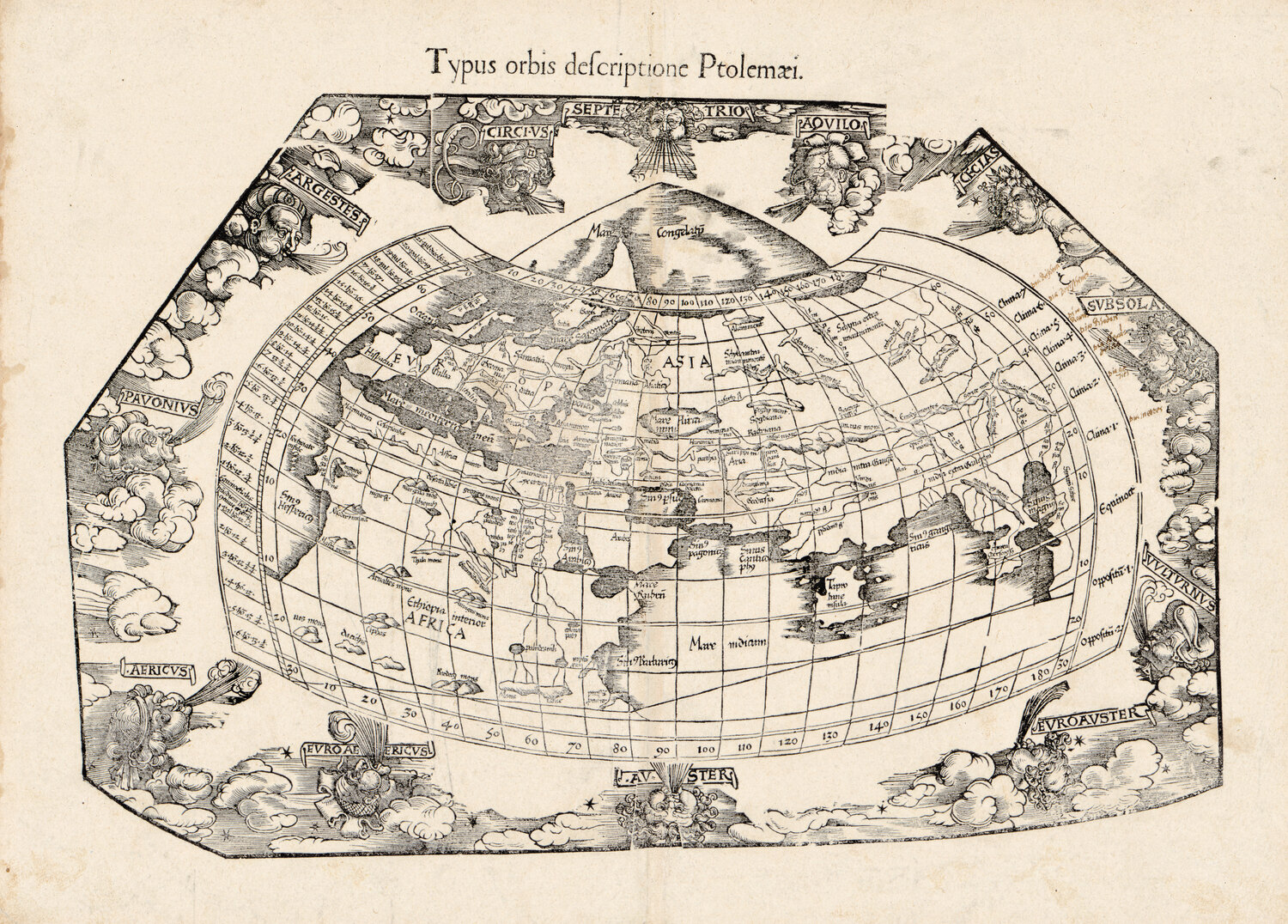
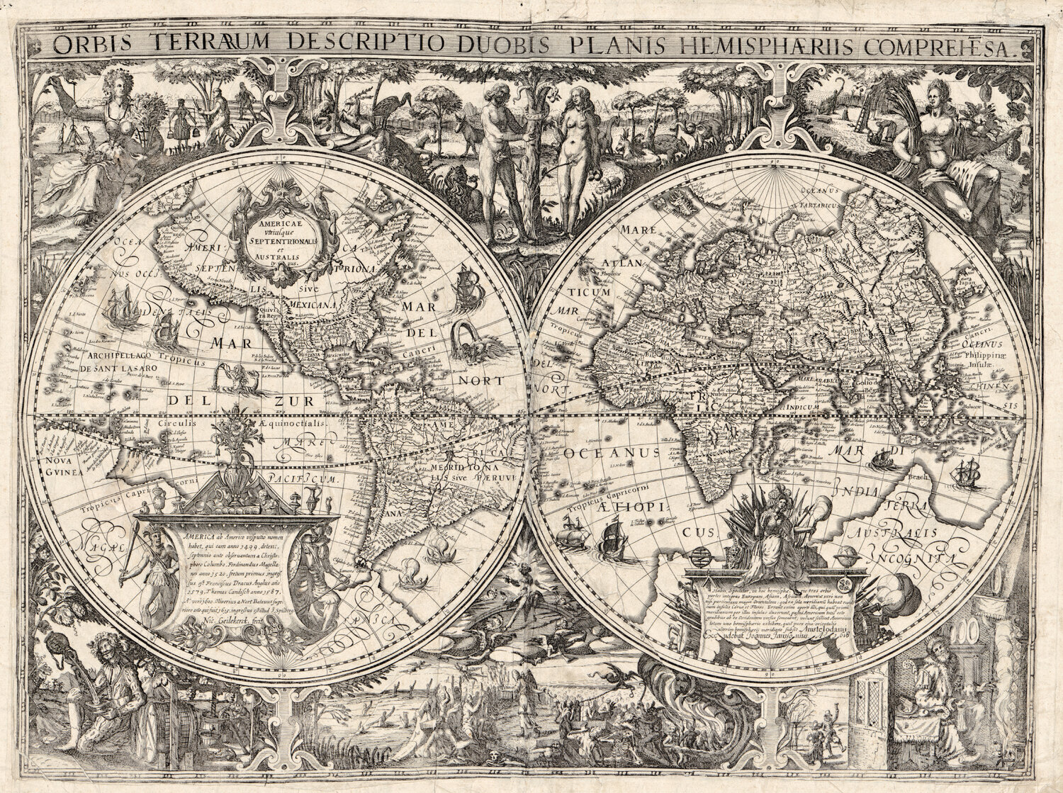
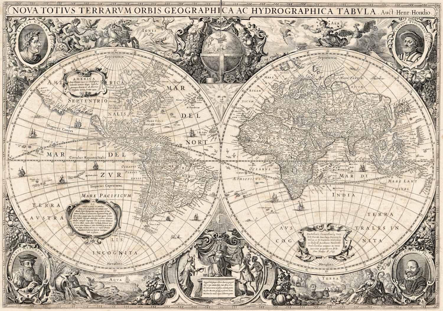
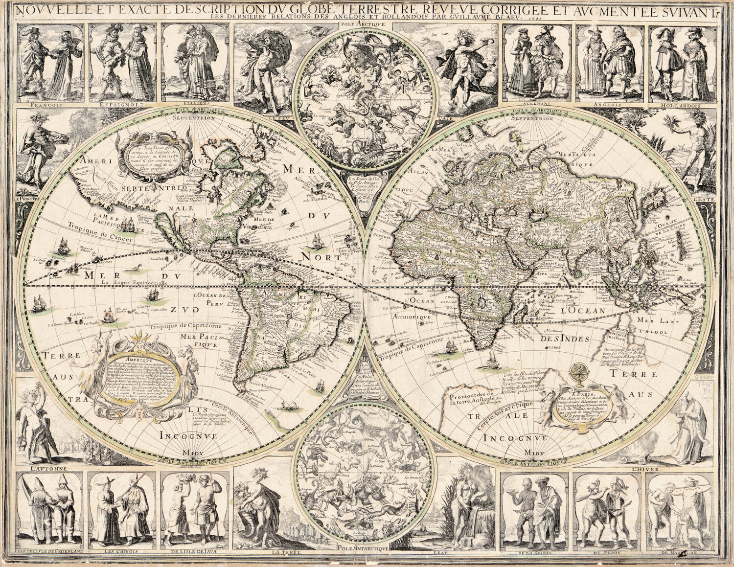
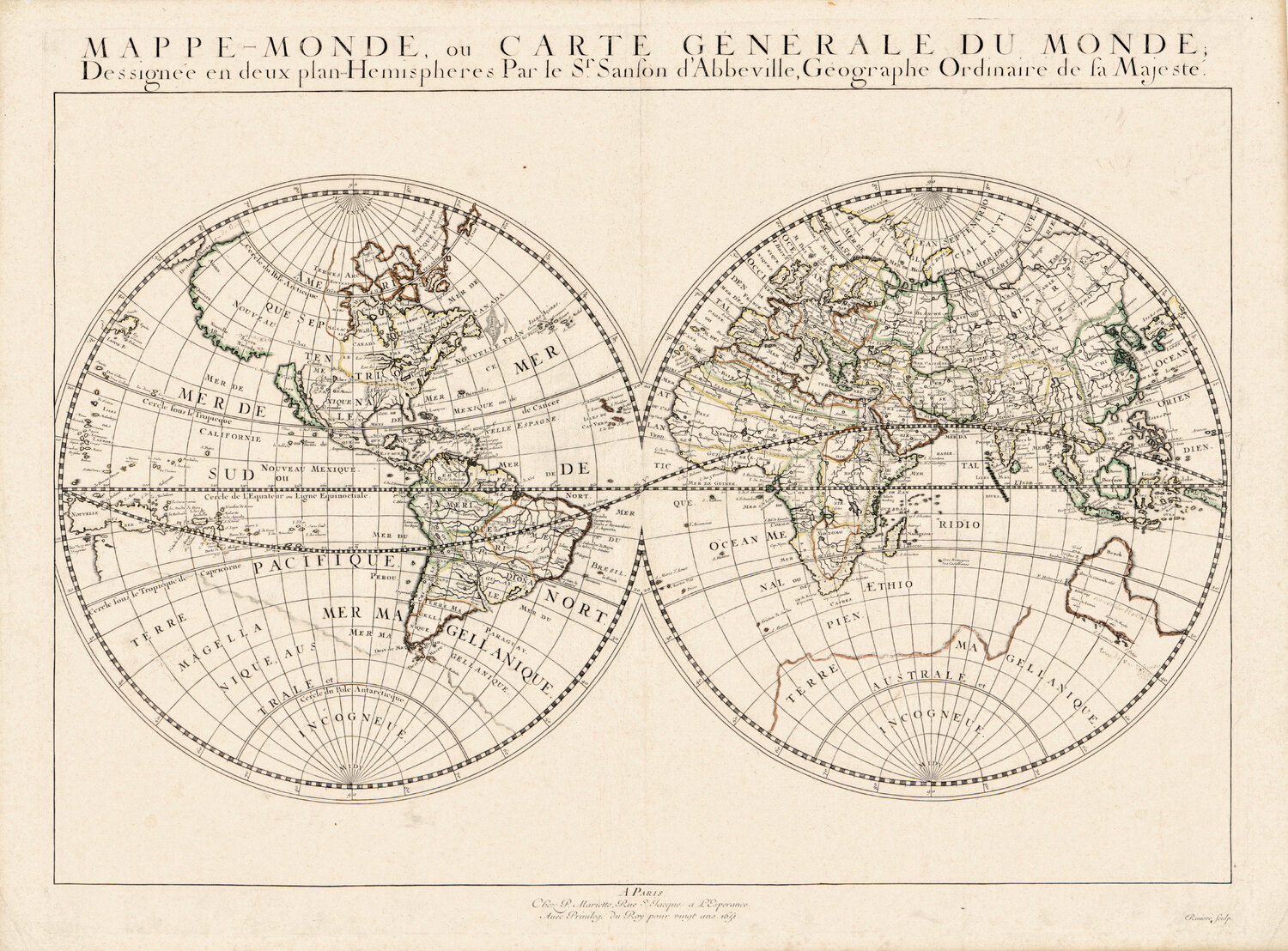
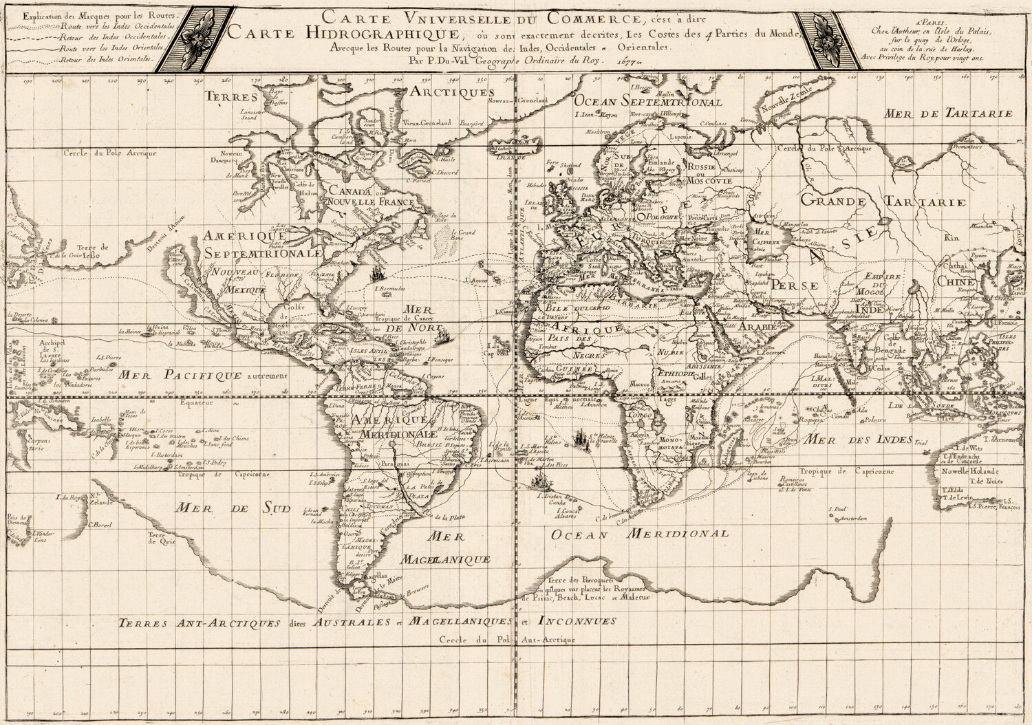
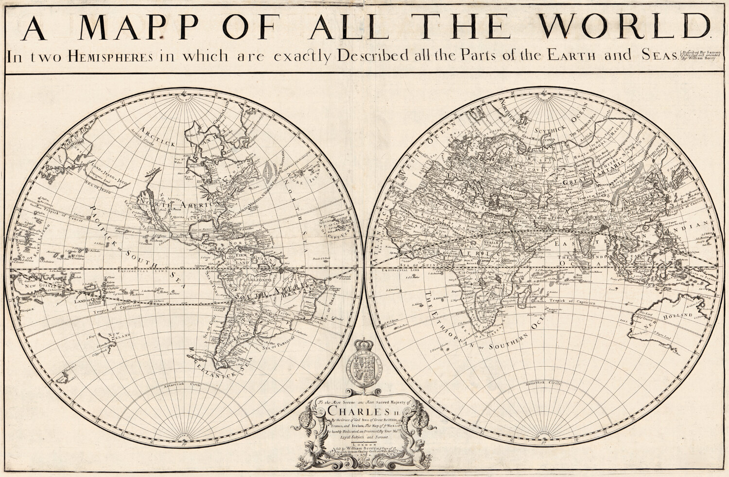
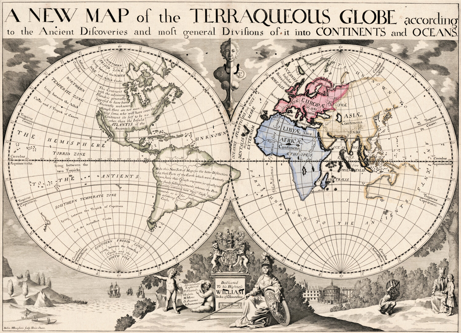
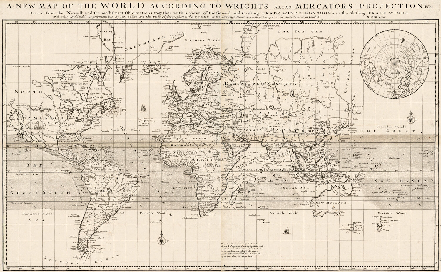
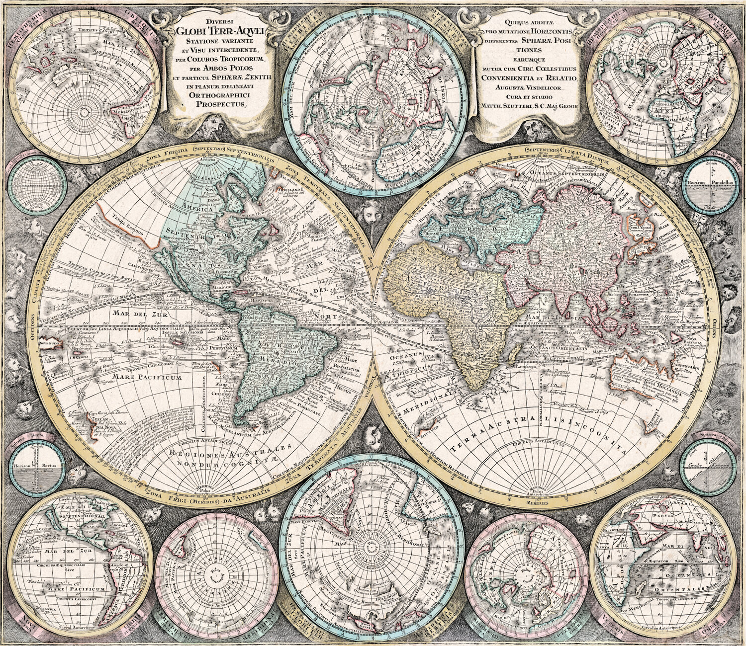
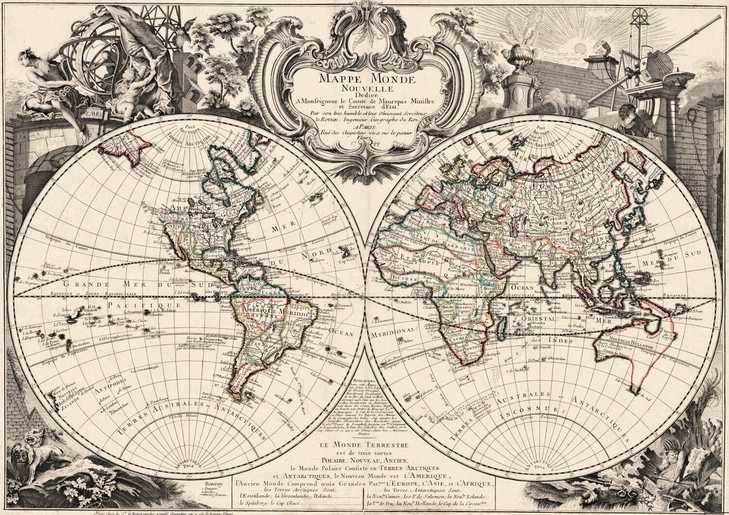
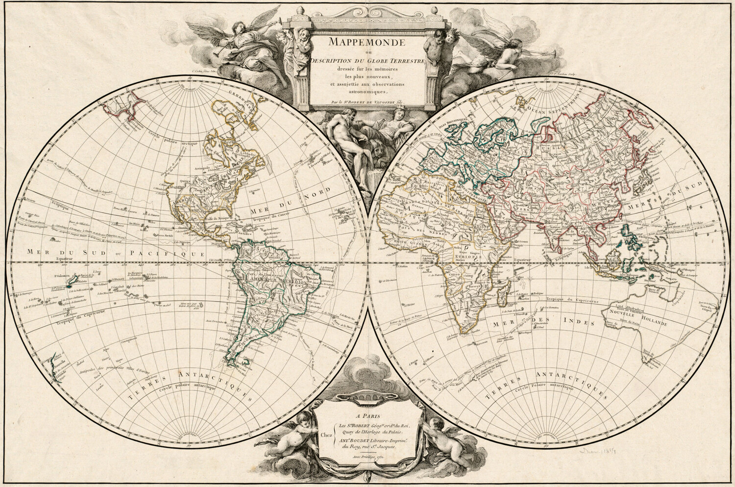
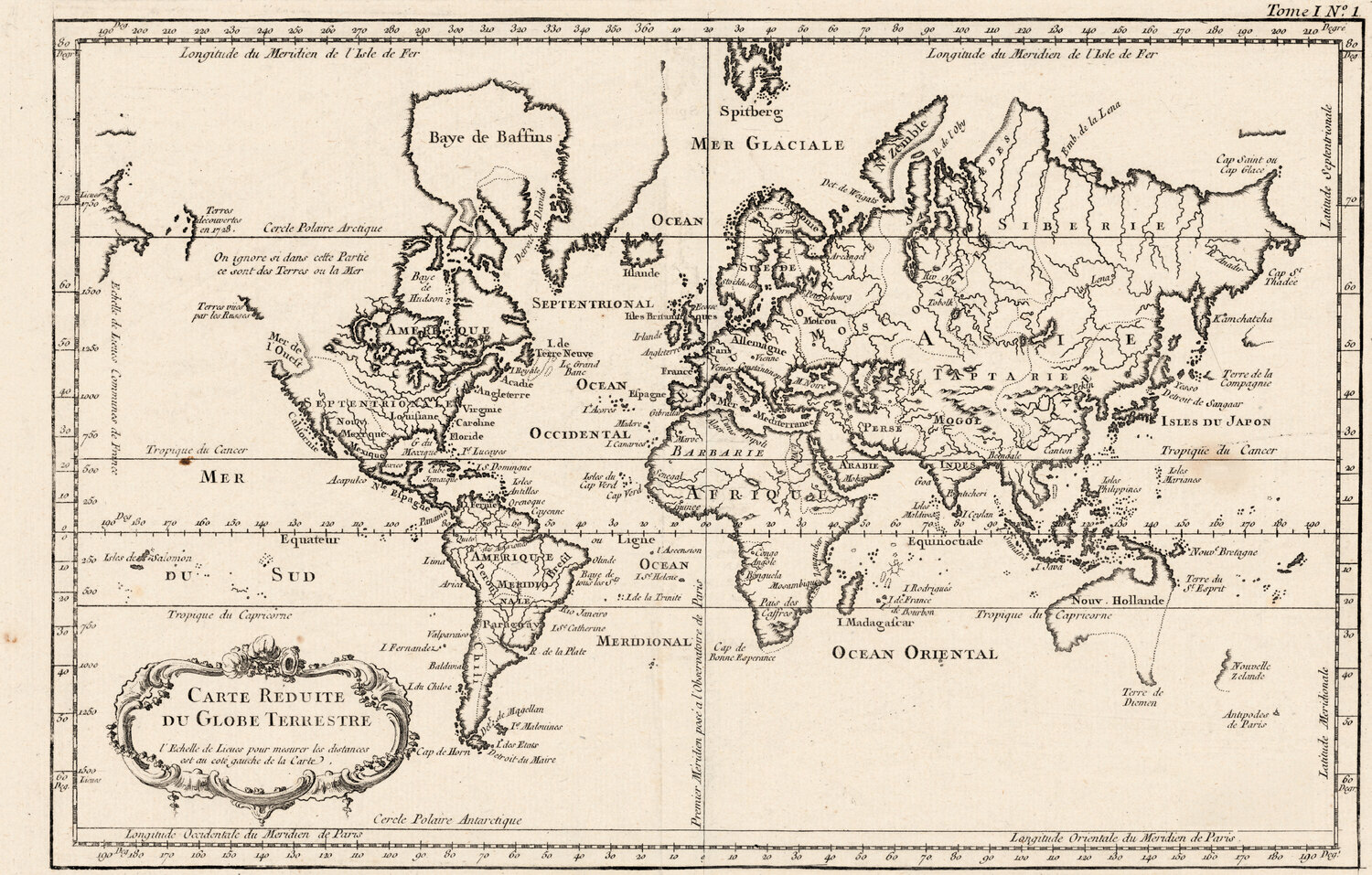
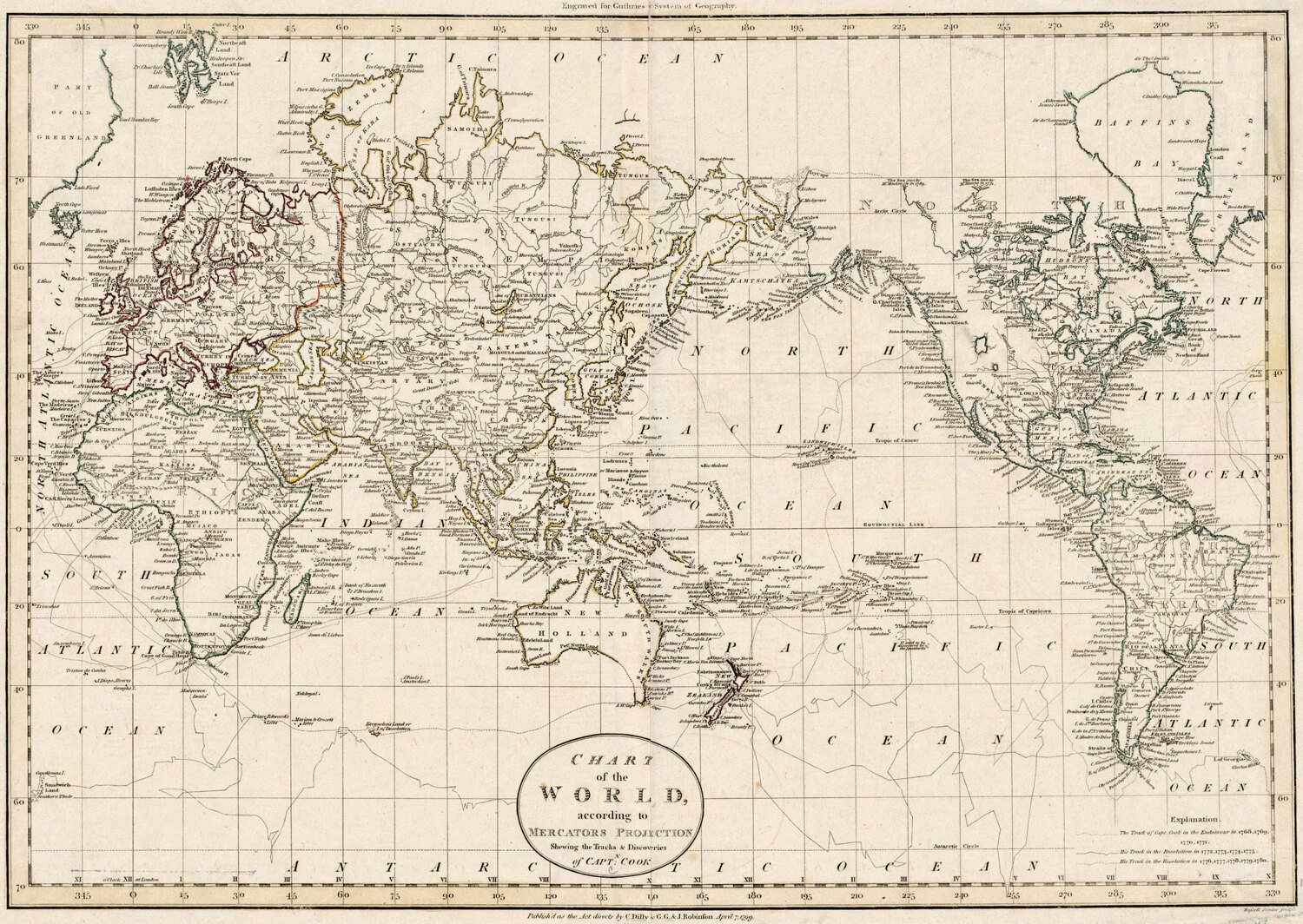
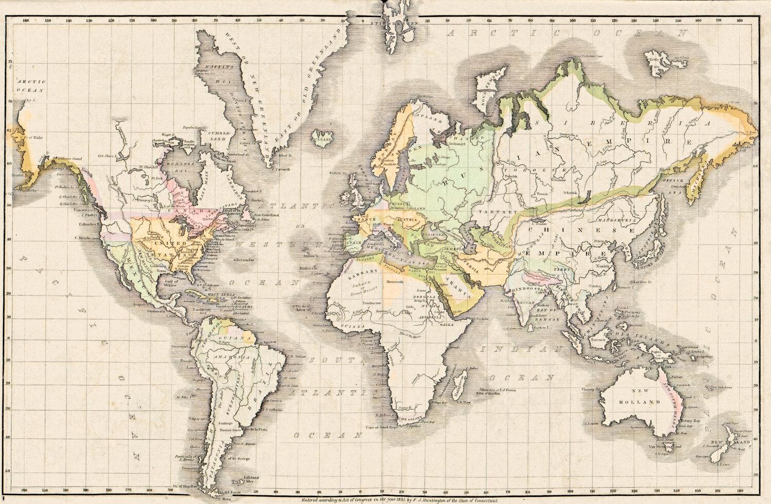
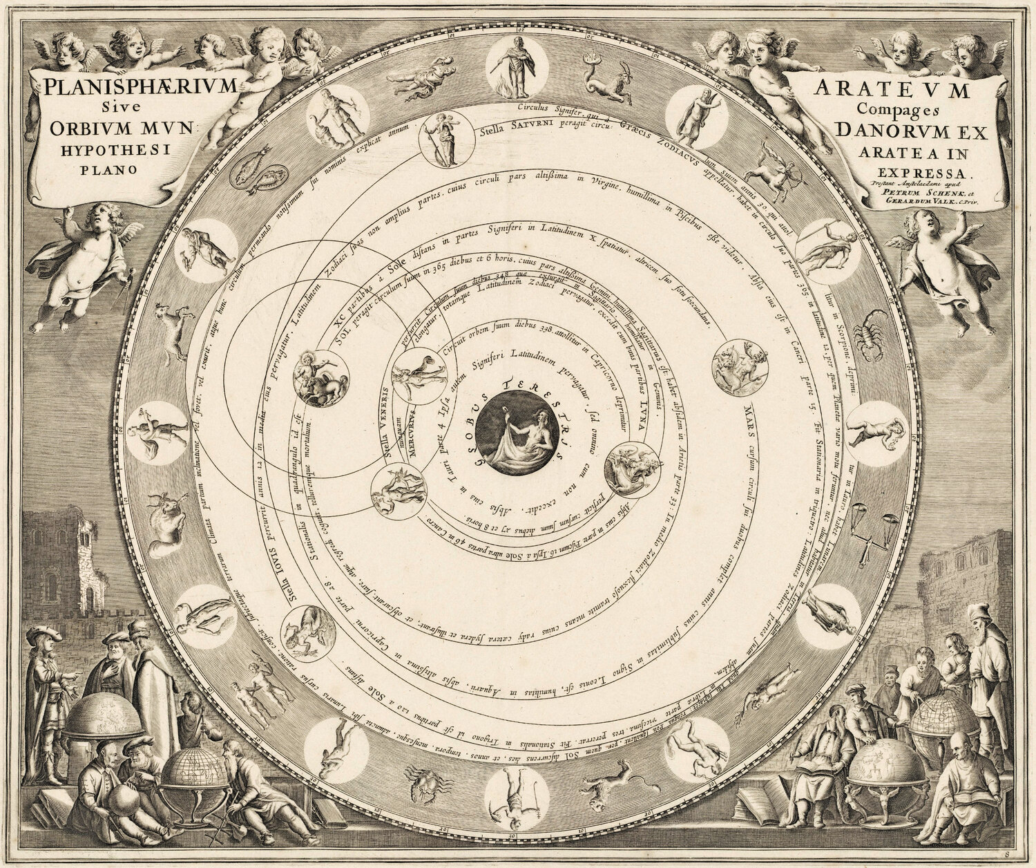
Weltkarten Alte Weltkarte 1541 — Fries, Typus Orbis Ptolemaei Library of Congress, Geography and Map Division · 1541 1500 px herunterladen Quellenangabe kopieren Druckdatei, bis 51 cm → Alte Weltkarte 1618 — Geylekerck, Orbis Terrarum Descriptio Library of Congress, Geography and Map Division · 1618 1500 px herunterladen Quellenangabe kopieren Druckdatei, bis 57 cm → Alte Weltkarte 1641 — Hondius, Nova Totius Terrarum Orbis Library of Congress, Geography and Map Division · 1641 1500 px herunterladen Quellenangabe kopieren Druckdatei, bis 55 cm → Alte Weltkarte 1645 — Blaeu, Novvelle et Exacte Description Library of Congress, Geography and Map Division · 1645 1500 px herunterladen Quellenangabe kopieren Druckdatei, bis 56 cm → Alte Weltkarte 1651 — Sanson, Mappe-Monde ou Carte Générale Library of Congress, Geography and Map Division · 1651 1500 px herunterladen Quellenangabe kopieren Druckdatei, bis 57 cm → Alte Weltkarte 1677 — Duval, Carte Vniverselle du Commerce Library of Congress, Geography and Map Division · 1677 1500 px herunterladen Quellenangabe kopieren Druckdatei, bis 53 cm → Alte Weltkarte 1680 — Sanson, A Mapp of All the World Library of Congress, Geography and Map Division · 1680 1500 px herunterladen Quellenangabe kopieren Druckdatei, bis 89 cm → Alte Weltkarte 1700 — Wells, Terraqueous Globe Library of Congress, Geography and Map Division · 1700 1500 px herunterladen Quellenangabe kopieren Druckdatei, bis 51 cm → Alte Weltkarte 1706 — Moll, A New Map of the World Boston Public Library, Norman B. Leventhal Map & Education Center · 1706 1500 px herunterladen Quellenangabe kopieren Druckdatei, bis 71 cm → Alte Weltkarte 1740 — Seutter, Diversi Globi Terr-Aquei Library of Congress, Geography and Map Division · 1740 1500 px herunterladen Quellenangabe kopieren Druckdatei, bis 59 cm → Alte Weltkarte 1744 — Le Rouge, Mappe Monde Nouvelle Library of Congress, Geography and Map Division · 1744 1500 px herunterladen Quellenangabe kopieren Druckdatei, bis 73 cm → Alte Weltkarte 1752 — Robert de Vaugondy, Mappemonde Boston Public Library, Norman B. Leventhal Map & Education Center · 1752 1500 px herunterladen Quellenangabe kopieren Druckdatei, bis 67 cm → Alte Weltkarte 1764 — Bellin, Carte réduite du globe Library of Congress, Geography and Map Division · 1764 1500 px herunterladen Quellenangabe kopieren Druckdatei, bis 48 cm → Alte Weltkarte 1799 — Chart of the World Boston Public Library, Norman B. Leventhal Map & Education Center · 1799 1500 px herunterladen Quellenangabe kopieren Druckdatei, bis 68 cm → Alte Weltkarte 1839 — Willard, Universal History Library of Congress, Geography and Map Division · 1839 1500 px herunterladen Quellenangabe kopieren Druckdatei, bis 43 cm → Sternkarten und der Mond So nennen Sie die Quelle Fügen Sie die kopierte Zeile unter dem Bild ein, zum Beispiel:
Alte Weltkarte 1541 — Fries, Typus Orbis Ptolemaei — restauriert von Old Map Studio , Scan: Library of Congress, Geography and Map Division
Größer oder für ein Produkt? Für Wandbilder und jede kommerzielle Nutzung gibt es auf der Seite jeder Karte die vollständige Druckdatei mit 300 dpi: das ganze Blatt, die Karte bis zum Rand beschnitten und vier Standardformate, dazu ein Restaurierungspass.