Antique World Map 1651 — Sanson, Mappe-Monde ou Carte Générale

Description
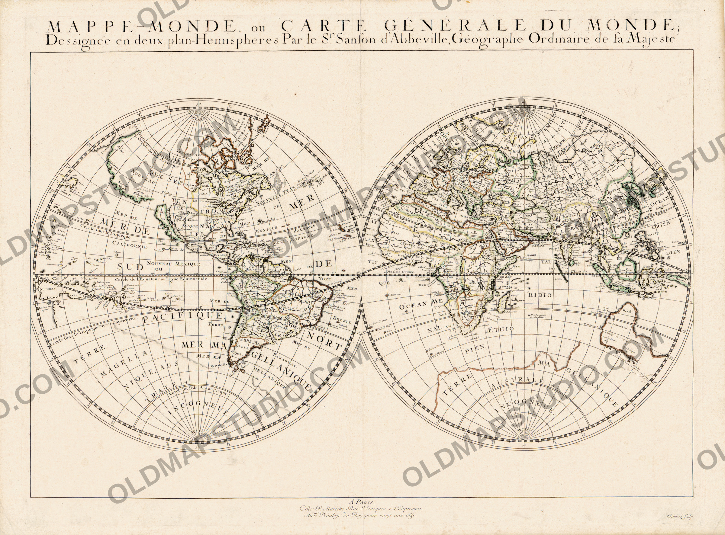
An old world map with California still an island
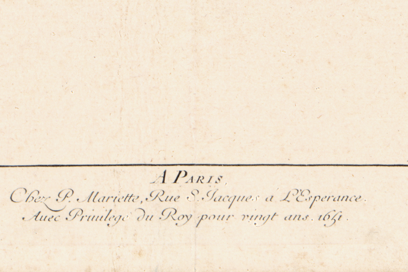
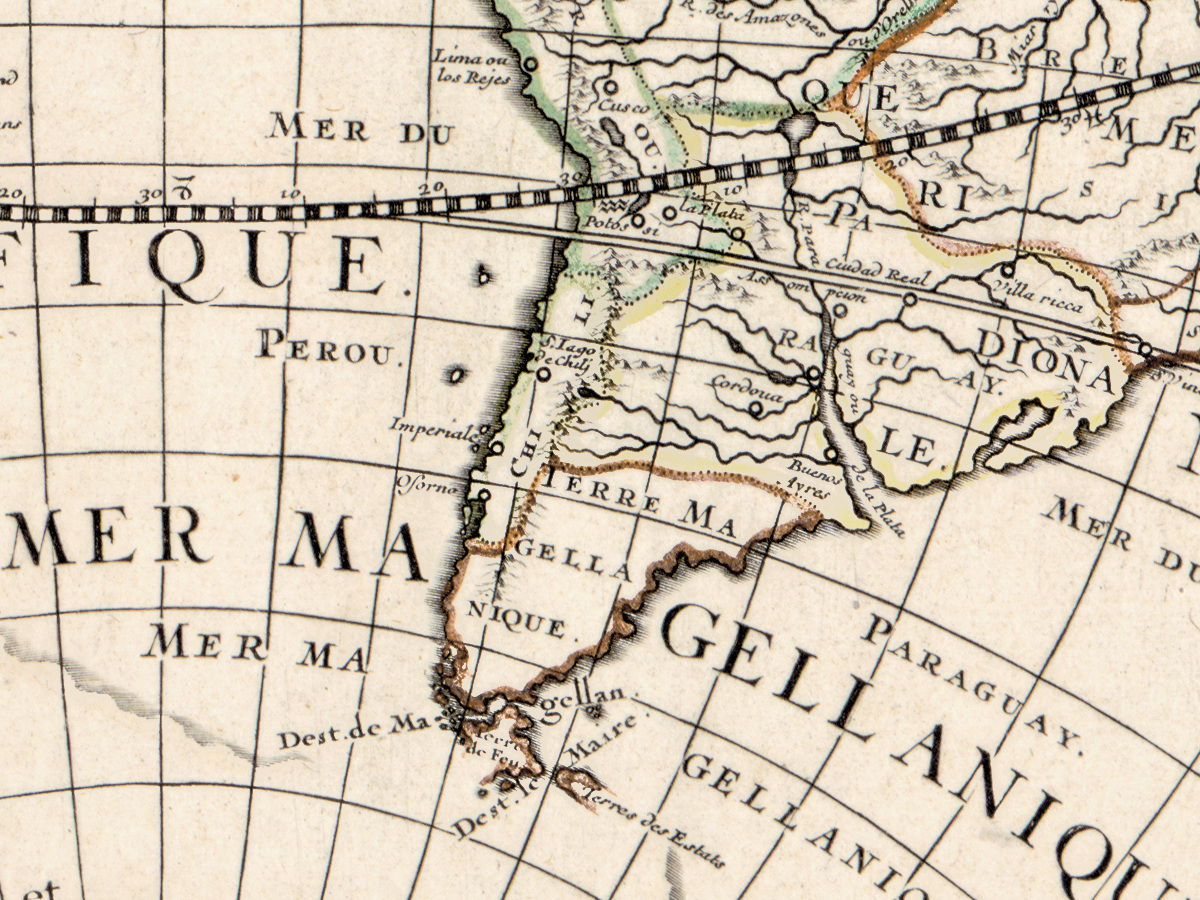
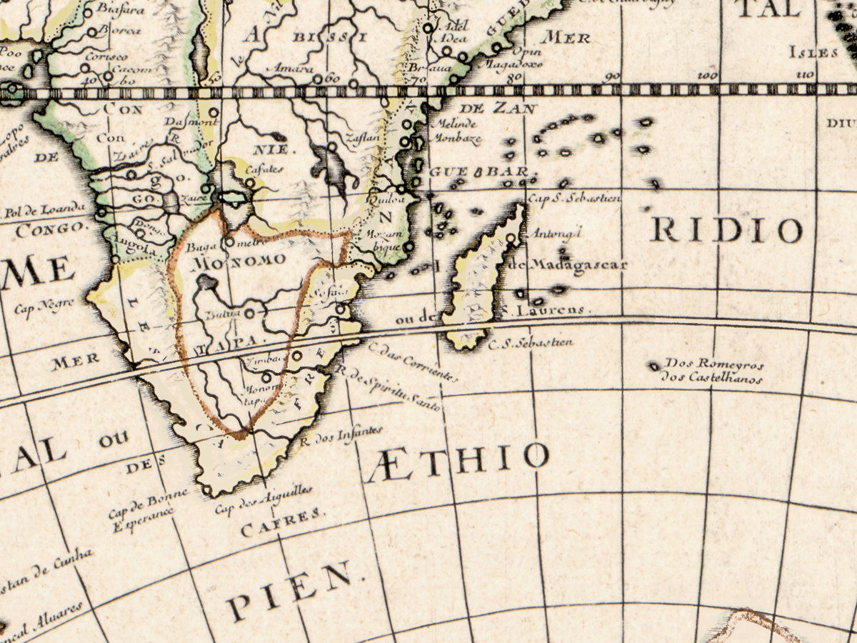
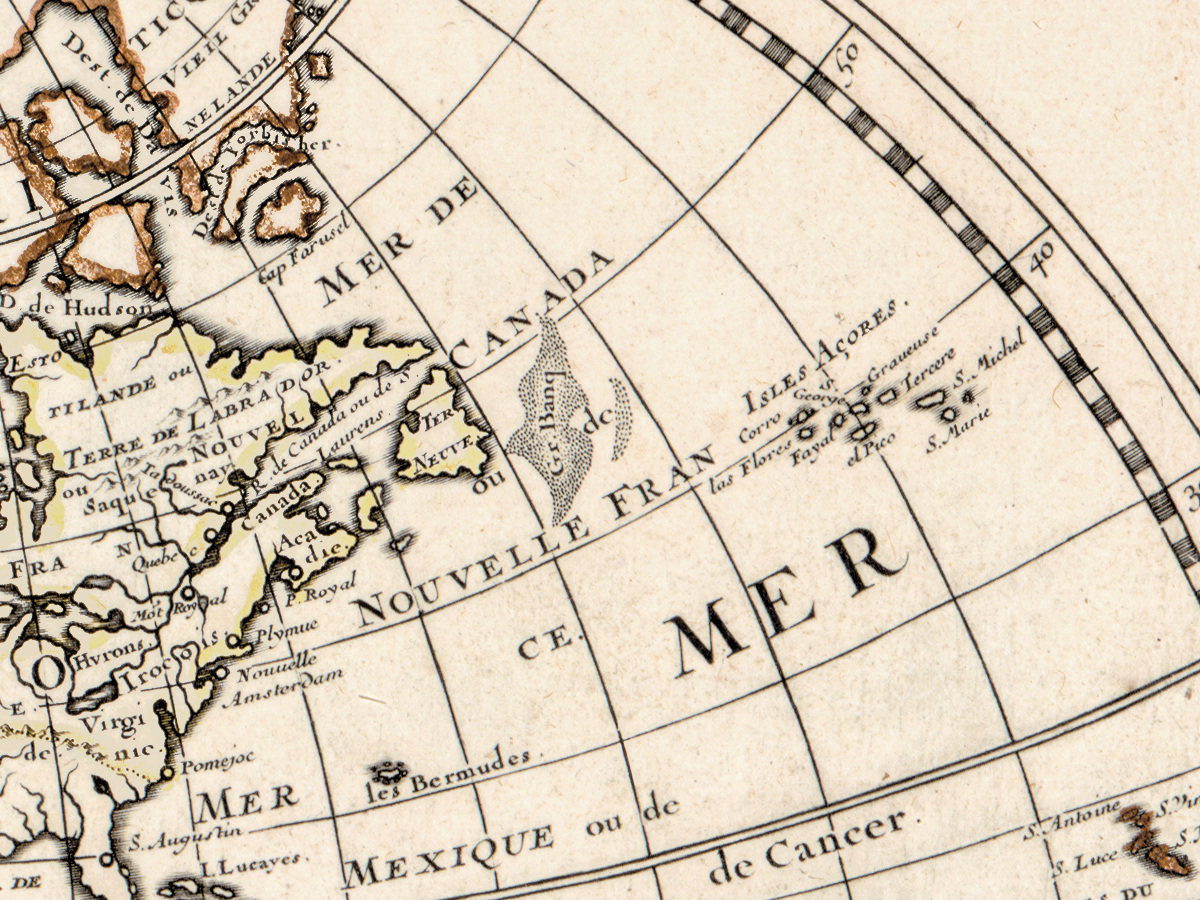
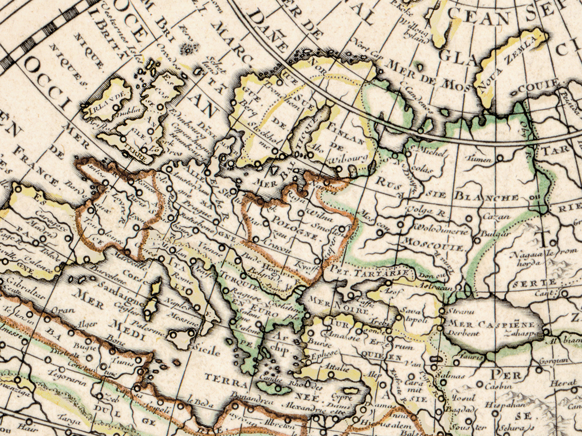
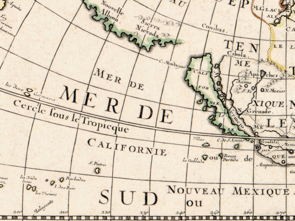
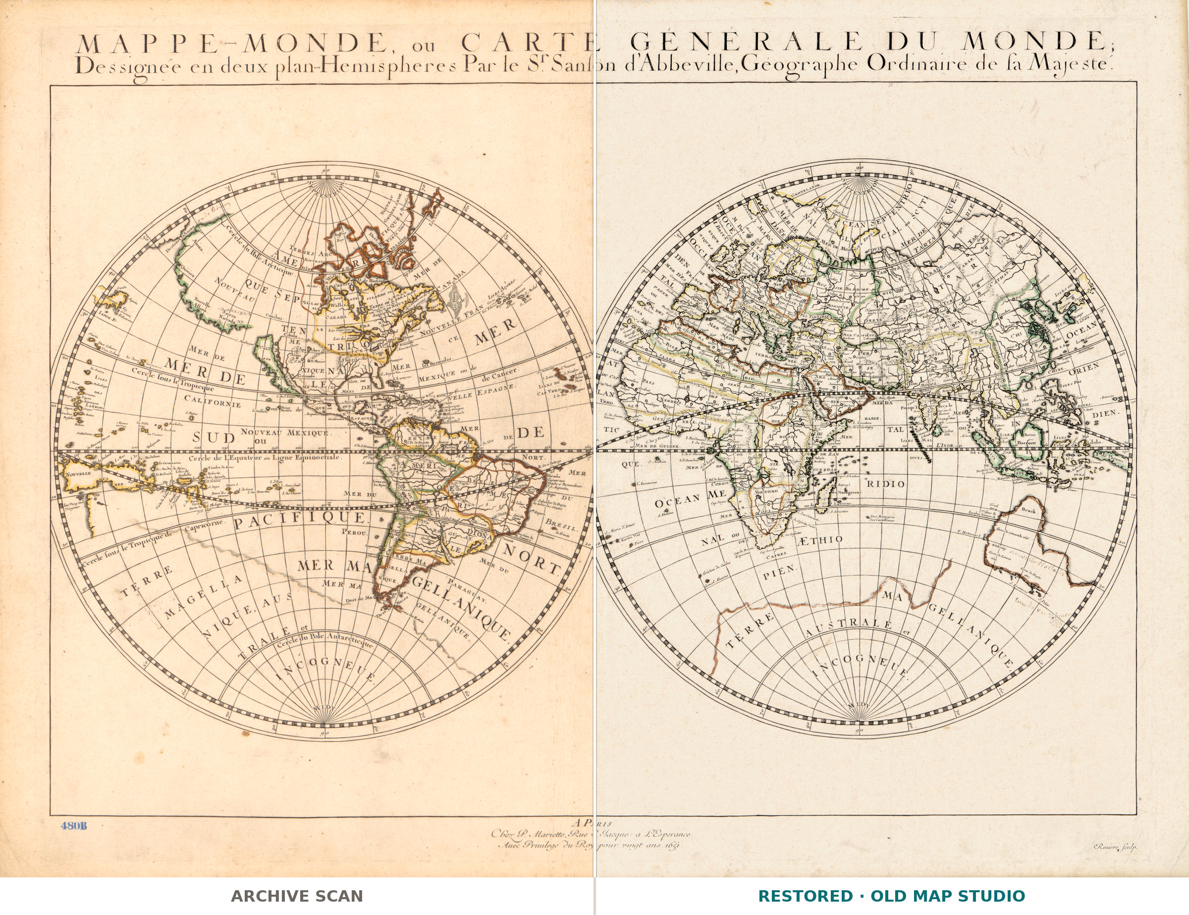
Mappe-monde, ou carte générale du monde : dessinée en deux plan-hemispheres — the whole world laid out in two flat hemispheres, published in Paris in 1651 with an unusually talkative imprint: chez P. Mariette, rue St. Jacques à l'Esperance, avec privilege du roy pour vingt ans. A royal privilege for twenty years meant that for two decades nobody else in France could reprint the plate. The sheet came out hand colored, and the Library of Congress notes the detail collectors look for first: California is drawn as an island.
What the catalogue records
The Library of Congress describes one hand-colored map: two hemispheres of 26 cm each on a sheet of 43 by 58 cm. Relief is shown pictorially, the text is French, the call number is G3200 1651 .S3. The record also places the sheet in Shirley's The Mapping of the World, the standard reference on early world maps, as number 390. How the plate was printed it does not say, and neither does this listing.
Three names on one sheet
Three people, three different jobs. Nicolas Sanson, 1600 to 1667, drew the map — the geographer whose sober, tightly lettered sheets set the French style for the rest of the century. Pierre Mariette, 1634 to 1716, published it from the shop in the rue St. Jacques. A third name, Rivière, is recorded as the engraver, active in the seventeenth century: the hand that cut the lines you will be printing. There the record stops — an engraver, but no technique, and neither name one here.
Your file
| Original | Nicolas Sanson, published by Pierre Mariette, Paris, 1651, hand colored |
| Print size at 300 dpi | the map prints to 57 cm (22 in), the full sheet with margins to 57 cm (22 in) |
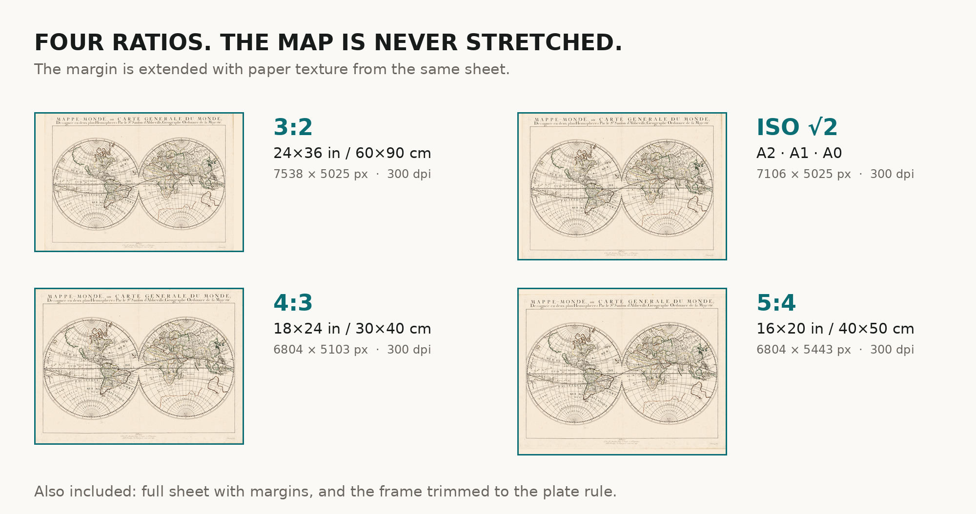
| You download | six ZIP archives: full sheet, trimmed, 3:2, 4:3, 5:4 and ISO A |
| Inside each one | one JPEG at 300 dpi, the restoration passport as a PDF, a READ ME |
How to print
- Print at 300 dpi at the size above; do not let the shop scale it up.
- Pick the archive whose proportions match your frame.
- Where to print it: print shops near you and checked prices at online labs.
Source and rights
Library of Congress, Geography and Map Division, call number G3200 1651 .S3, LCCN 2017585797. The Library declares its digitized map collections free to use and reuse where no rights advisory is present, and none is here. Catalogue record: Library of Congress →
Questions
What exactly do I get after payment?
Six ZIP archives, each with one JPEG at 300 dpi, the restoration passport as a PDF and a READ ME. No TIFF master.
How large can I print it?
The map to 57 cm (22 in), the full sheet with margins to 57 cm (22 in), at 300 dpi, from the library's own scan.
Why is California an island?
Because that is how the sheet draws it, and the catalogue records it. Island California travelled through European maps for most of the seventeenth century.
Is the color original?
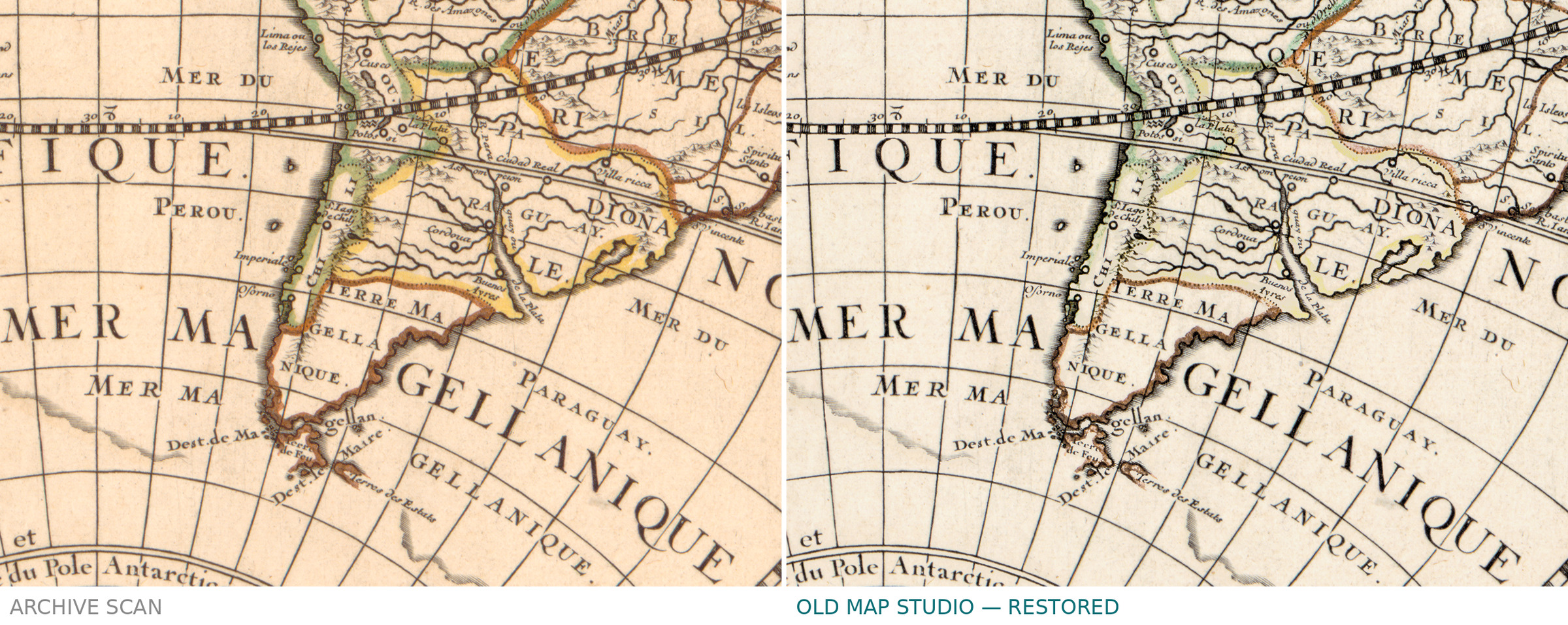
The catalogue describes the sheet as hand colored: the color is the sheet's own, not added by us.
Features
- French
Attachments
Reviews
No reviews found
See also
-
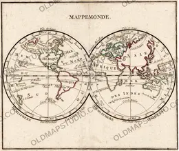
 Antique World Map 1778 — Brion de la Tour, Mappemonde
-
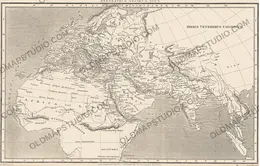
Antique World Map 1818 — Macpherson, Orbis Veteribus Cognitus
-
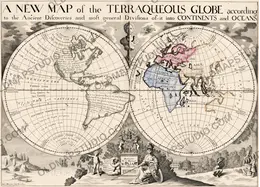
Antique World Map 1700 — Wells, Terraqueous Globe
-
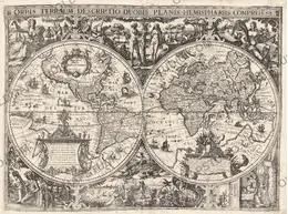
Antique World Map 1618 — Geylekerck, Orbis Terrarum Descriptio
-
Antique World Map 1724 — Delisle, Hemisphere Occidental
-
Antique World Map 1564 — Mercator, Quam Hic Vides Orbis Imaginem