Antique Star Chart 1708 — Planisphaerium Ptolemaicum
Description
An antique celestial map of the Ptolemaic world
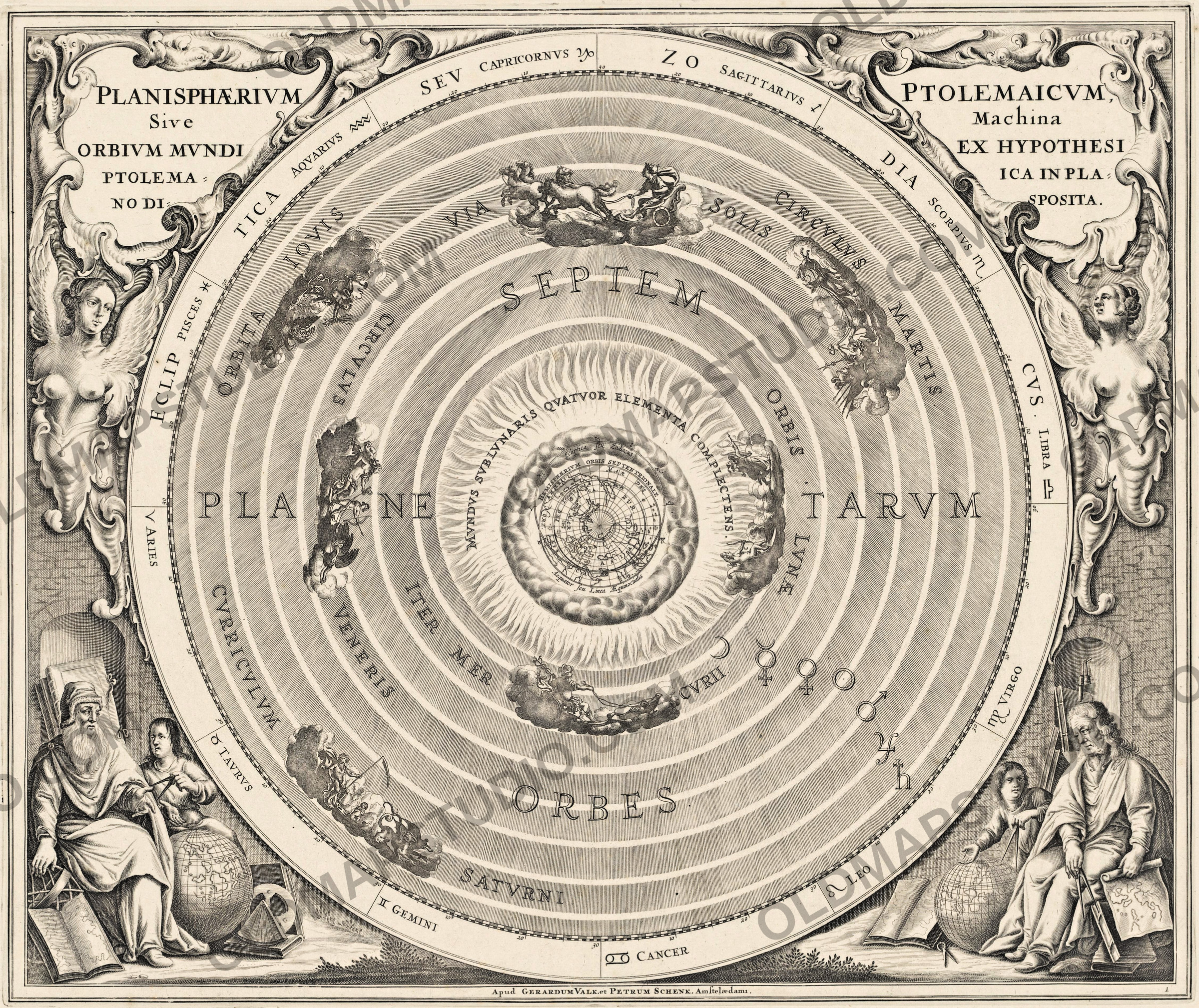
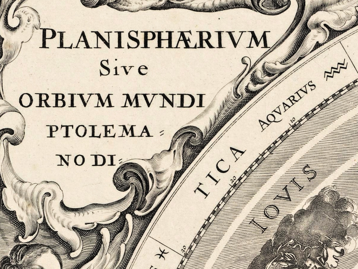
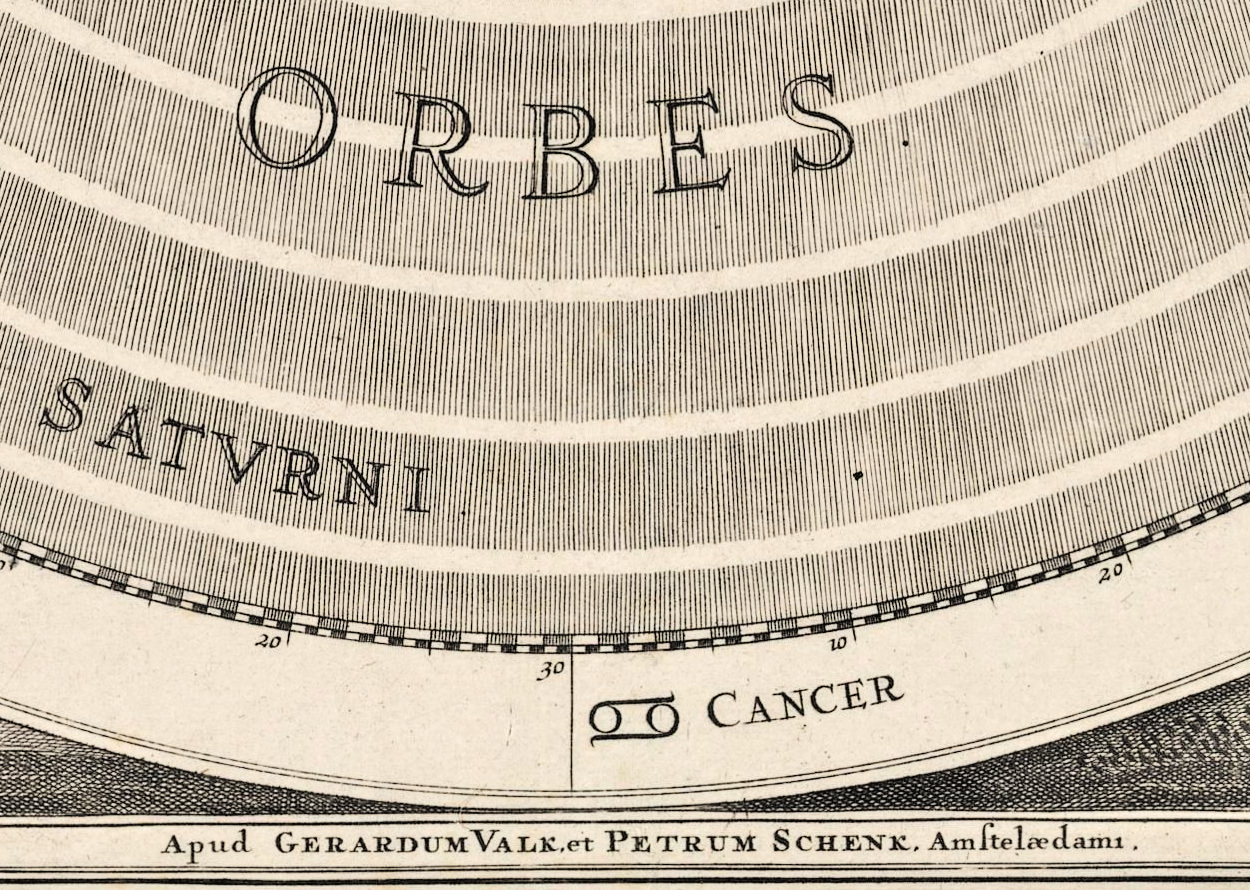
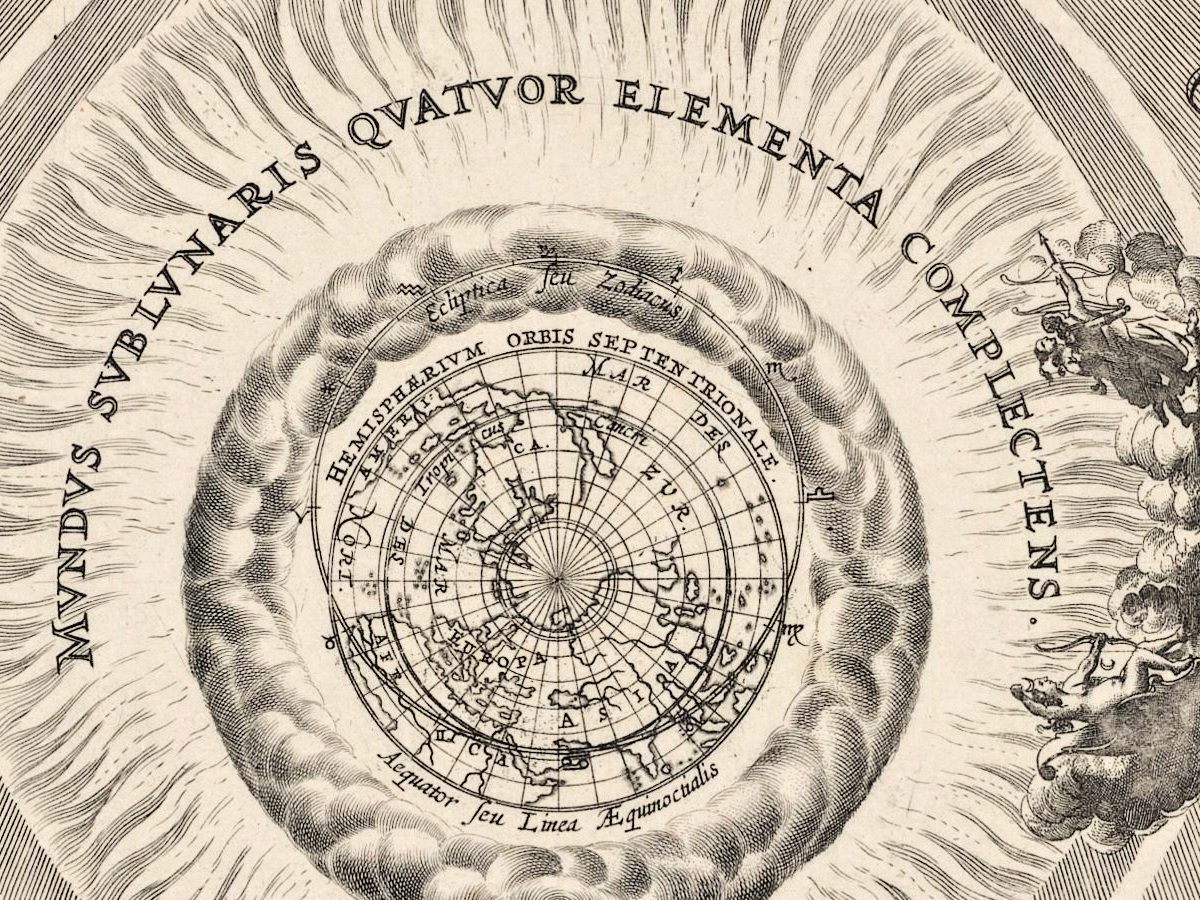
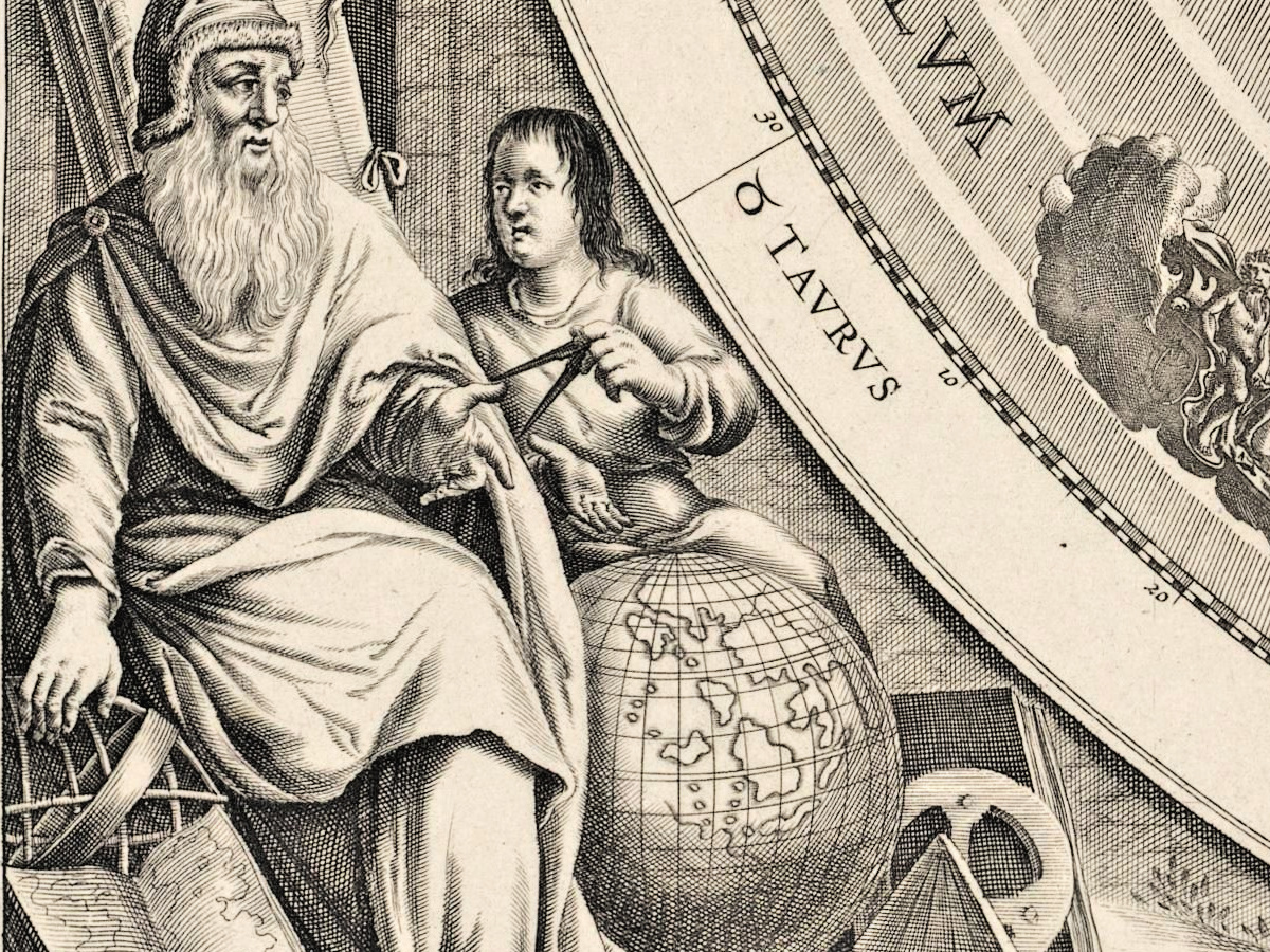
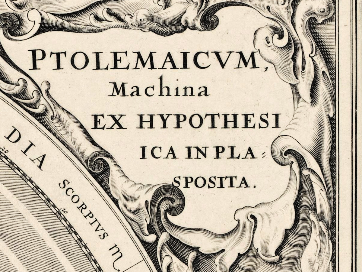
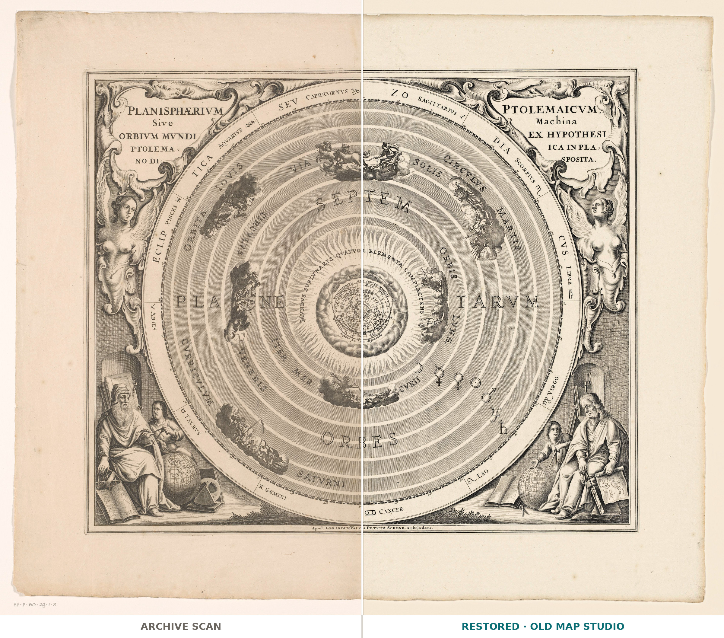
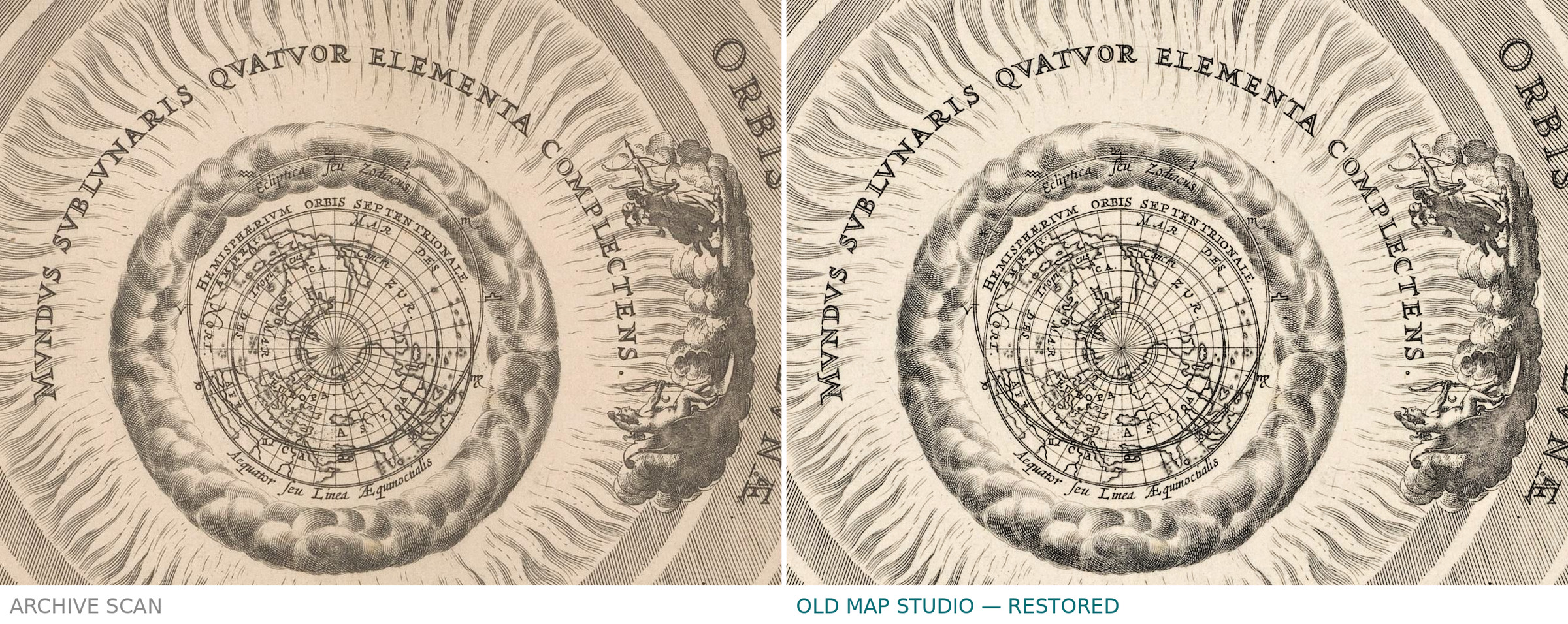
The title cut on the plate reads Planisphaerium Ptolemaicum sive machina orbium mundi ex hypothesi — the Ptolemaic planisphere, the machine of the orbs of the world on that hypothesis: the Earth kept still in the middle while sphere after sphere turns around it. The Rijksmuseum names no engraver: the record gives an anonymous printmaker and the Amsterdam publishers Pieter Schenk the elder and Gerard Valck, and it places the print in Andreas Cellarius's Harmonia Macrocosmica seu Atlas Universalis et Novus, the Schenk and Valck edition of 1708.
What the catalogue records
Rijksmuseum, object number RP-P-AO-29-1-3. Engraving on paper, sheet 442 × 526 mm, dated between 1660 and 1708. The record says nothing about the engraver, nothing about coloring and nothing about a separate issue of this sheet.
The plate was cut for Cellarius's atlas around 1660; the sheet offered here was printed from it by Pieter Schenk the elder and Gerard Valck for the edition of 1708. That is why the museum gives a span of years and not a single one: the earlier date belongs to the plate, the later one to this impression, and the later one is the year on this listing.
How large it prints
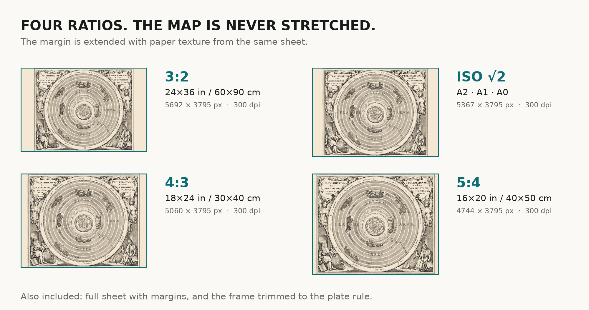
You get two frames of the same sheet, so there are two numbers. The map, cut to the outer border, prints to 38 cm (15 in) on the long side at 300 dpi; the full sheet with its margins to 49 cm (19 in). Both numbers come from the museum's own scan and not from an upscale.
Your file
| Original | anonymous printmaker, Amsterdam, 1708, engraving, published by Pieter Schenk the elder and Gerard Valck |
| Sheet | 442 × 526 mm in the museum record |
| Scan | 5856 × 4972 px, from the museum's own scan, not an upscale |
| Print size at 300 dpi | the map prints to 38 cm, the full sheet with margins to 49 cm |
| You download | six ZIP archives: full sheet, trimmed, 3:2, 4:3, 5:4 and ISO A |
| Inside each one | one JPEG at 300 dpi, the restoration passport as a PDF, a READ ME |
How to print
- Print at 300 dpi at the size above and do not let the shop scale the file up.
- Pick the archive whose proportions match your frame, so nothing is cropped or stretched.
- Ask for matte fine-art paper, sRGB, auto-enhancement off.
- Where to print it: print shops near you and checked prices at online labs.
Source and rights
Rijksmuseum, Amsterdam, object number RP-P-AO-29-1-3. The museum marks the sheet as public domain, so it may be reproduced, altered and distributed, commercially too. Archive and object number are named in the passport inside every ZIP. Catalogue record: Rijksmuseum →
Questions
What exactly do I get after payment?
Six ZIP archives, each with one JPEG at 300 dpi, the restoration passport as a PDF and a READ ME. There is no TIFF master in the package.
How large can I print it?
The map to 38 cm (15 in) on the long side at 300 dpi, the full sheet with margins to 49 cm (19 in) — from the scan's own resolution, not an upscale.
Why does the listing say 1708 when the record gives 1660 to 1708?
The later year is the year of this impression. The record names the Schenk and Valck edition of the atlas of 1708, and those two are the publishers on this sheet; the earlier date belongs to the plate, cut for Cellarius around 1660.
Who engraved the plate?
The record does not say. It gives an anonymous printmaker and names only the two publishers.
Features
- Latin
Attachments
Reviews
No reviews found
See also
-
 Antique Star Chart 1708 — Planisphaerium Braheum
-
Antique Star Chart 1708 — Coelistellati Christiani
-
Antique Star Chart 1708 — Planisphaerium Arateum
-
Antique Moon Map c. 1702 — Doppelmayr, Tabula Selenographica
-
Antique Star Chart 1708 — Orbits of Mars, Jupiter and Saturn
-
Antique Star Chart 1708 — Planisphaerium Copernicanum