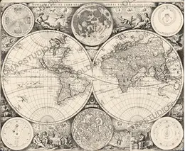
Antique World Map 1641 — Hondius, Nova Totius Terrarum Orbis
LOC2017585792

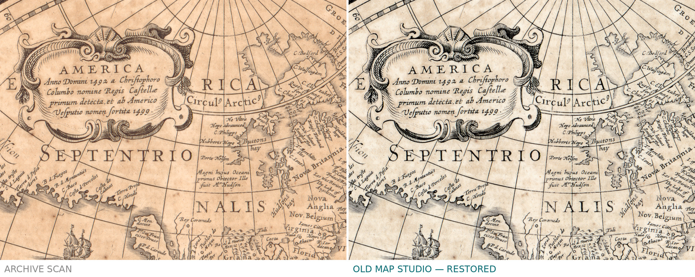
Description
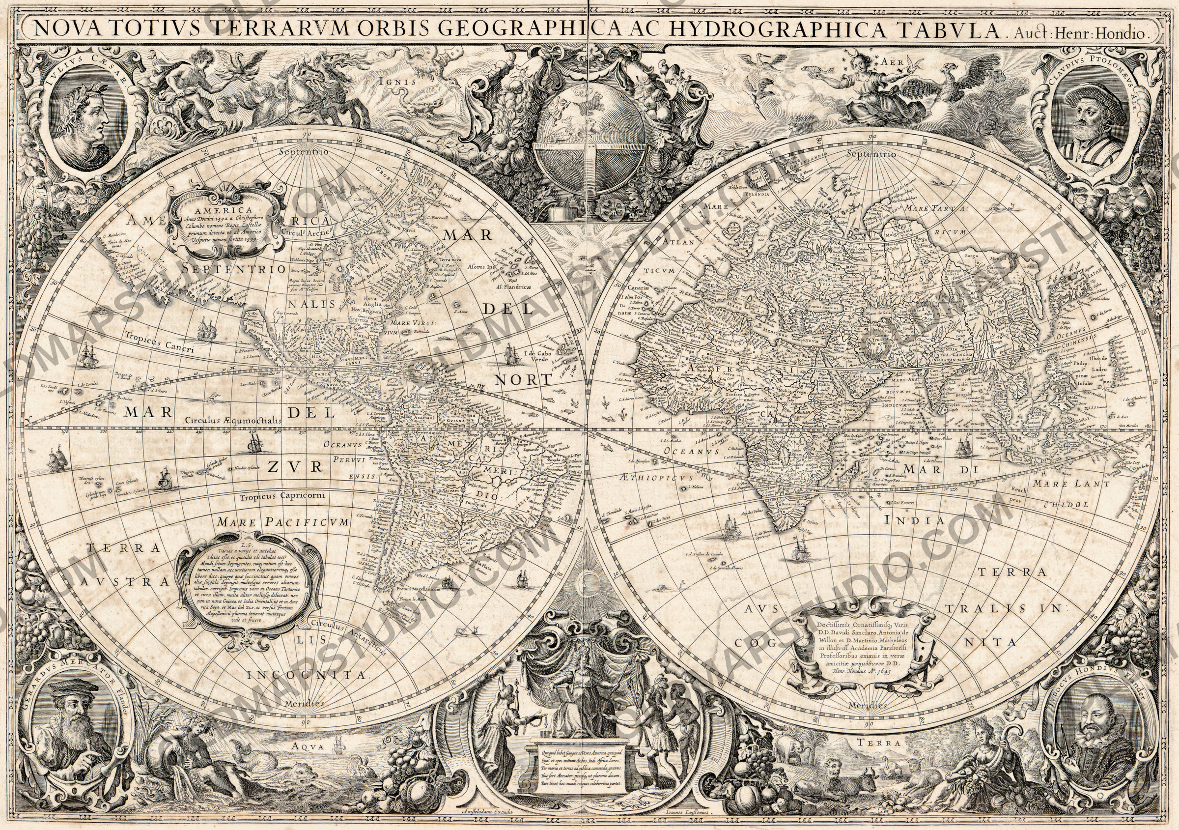
An old world map of 1641, drawn by Hondius and printed by Jansson
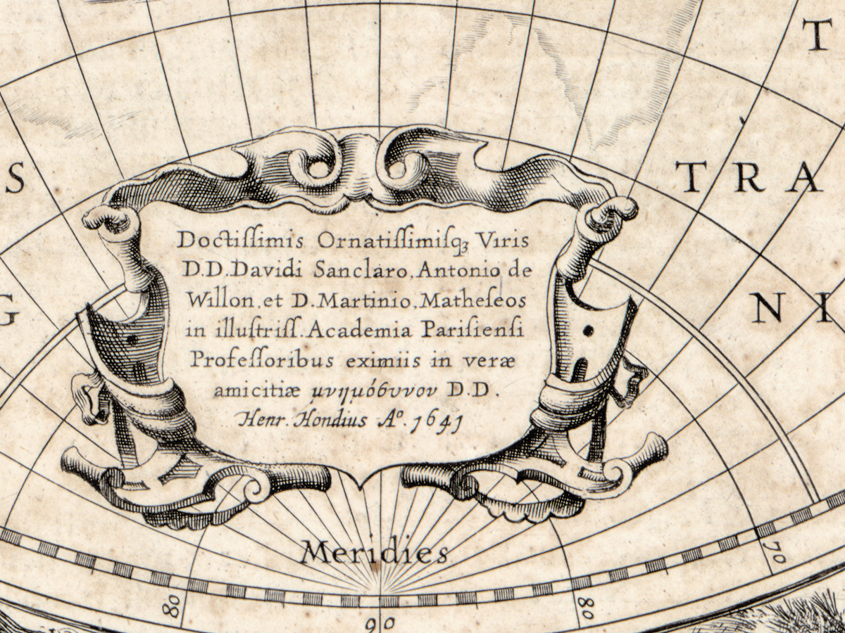
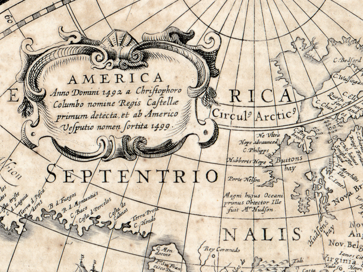
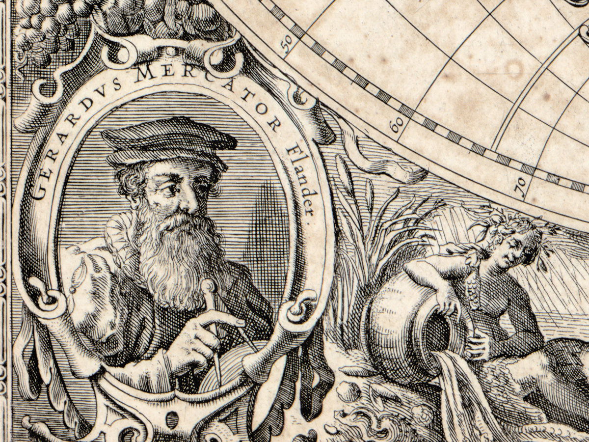
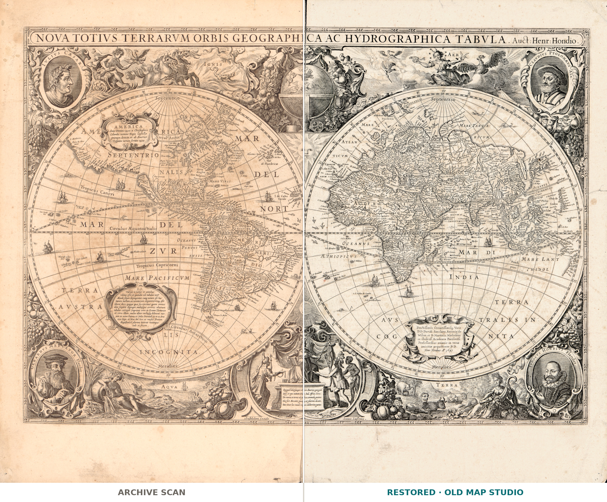
Two hemispheres, each 27 cm across, on a sheet of 47 by 59 cm. The Library of Congress record keeps to what is on the paper: relief drawn pictorially, the sheet assembled from two impressions, pictures of the four elements around the hemispheres, and portraits of Julius Caesar, Ptolemy, Mercator and Hondius. The back of the sheet carries Dutch text. The plate is dated 1641 and the copy scanned here comes from volume one of Jansson's Nieuwen atlas of 1657.
Your file
| Original | Jodocus Hondius, Amsterdam, published by Jan Jansson, 1641 |
| Sheet | 47 × 59 cm, two hemispheres of 27 cm |
| Scan | full sheet 6886 × 5479 px; the map inside the trimmed border 6497 × 4571 px. From the library's own scan, not an upscale |
| Print size at 300 dpi | the map prints to 55 cm (21 in), the full sheet with margins to 58 cm (22 in) |
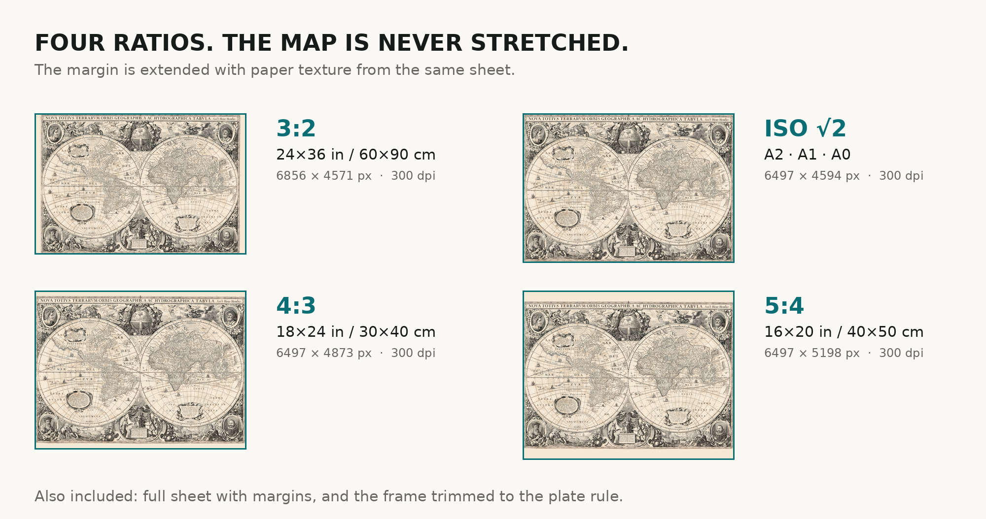
| You download | six ZIP archives: full sheet, trimmed, 3:2, 4:3, 5:4 and ISO A |
| Inside each one | one JPEG at 300 dpi, the restoration passport as a PDF, a READ ME |
How to print
- Print at 300 dpi at the size above and do not let the shop scale the file up.
- Pick the archive whose proportions match your frame, so nothing is cropped or stretched.
- Ask for matte fine-art paper, printed in sRGB with auto-enhancement off.
- Where to print it: print shops near you and checked prices at online labs.
Source and rights
Library of Congress, Geography and Map Division, call number G3200 1641 .H6, LCCN 2017585792. The library states the sheet is free to use and reuse. The archive and the shelfmark are named in the passport inside every ZIP. Catalogue record: Library of Congress →
Every map is a scan of a real sheet held in a named archive — library, shelfmark and year, all stated. Nothing generated, nothing redrawn.
Features
Map details
Century
1600s
Year
1641
Full original title
Nova totivs terrarvm orbis geographica ac hydrographica tabvla
Place of publication
Amsterdam
Published in
Jansson, Nieuwen atlas, vol. 1, 1657
Original color
Not stated in the record
Projection and layout
Double hemisphere
Language of the map
- Dutch
- Latin
File & printing
Full sheet width, px
6886
Full sheet height, px
5479
Map at 300 dpi, cm
55
Full sheet at 300 dpi, cm
58
Aspect ratio
1.26
Orientation
Landscape
Provenance & rights
Source archive
Library of Congress, Geography and Map Division
Shelfmark or file ID
G3200 1641 .H6 · LCCN 2017585792
Rights
Public domain
Attachments
Reviews
No reviews found
See also
-
 Antique World Map 1541 — Fries, Typus Orbis Ptolemaei
-
Antique World Map 1764 — Bellin, Carte réduite du globe
-
Antique World Map 1757 — The Earth's Western Planisphere
-
Antique World Map c. 1635 — Blaeu, Nova Totius Terrarum Orbis
-
Antique World Map c. 1675 — Seller, Novissima Totius Orbis
-
Antique World Map c. 1807 — Hansteen, Abweichungskarte