Twintig gerestaureerde antieke kaarten om gratis te downloaden op schermresolutie (1500 px) — voor lessen, werkstukken, artikelen, blogs, presentaties en stamboomonderzoek. Zonder account, zonder e-mail.
Gratis voor persoonlijk, educatief, redactioneel en niet-commercieel gebruik. We vragen alleen een bronvermelding met link — de knop onder elke kaart kopieert die voor u. De originelen zijn publiek domein; elke scan komt van de bibliotheek of het museum dat onder de kaart staat.
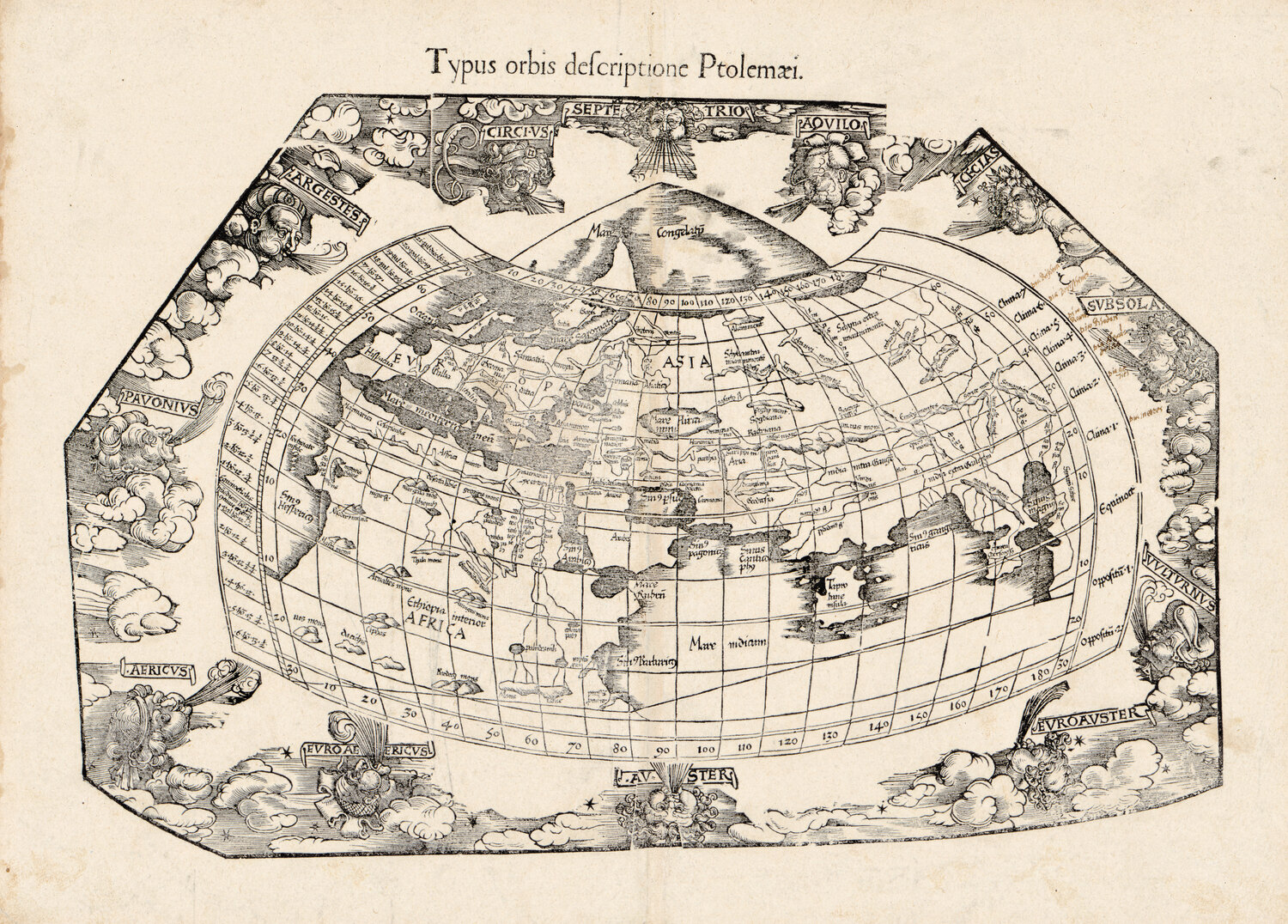
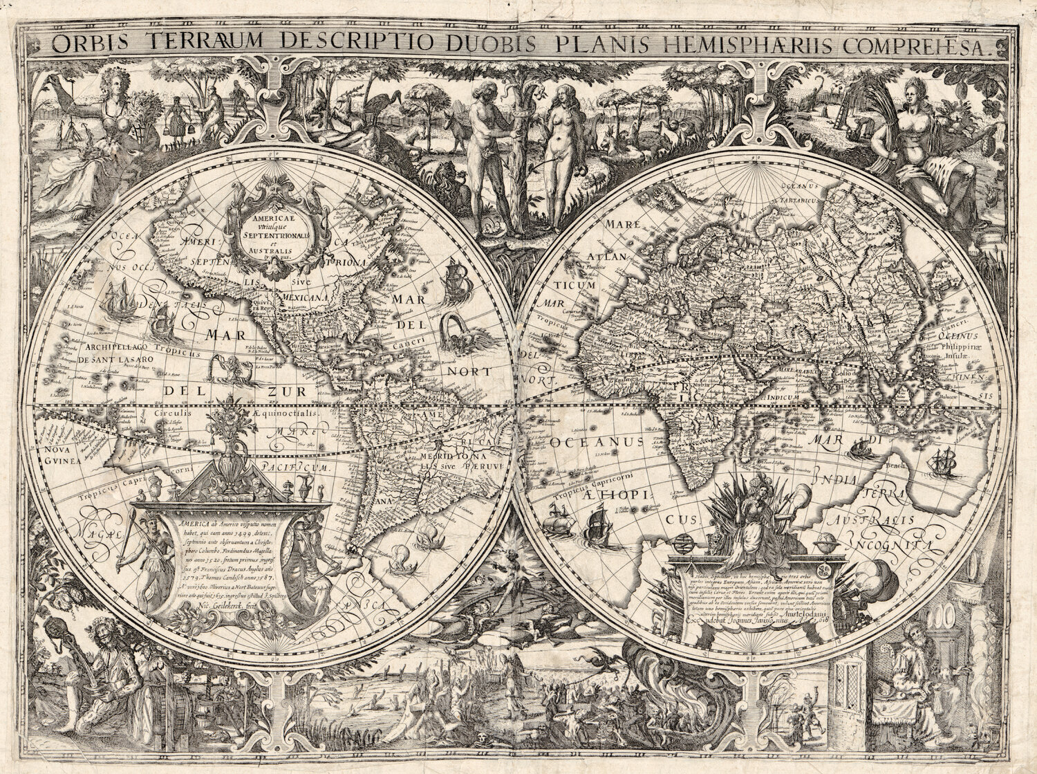
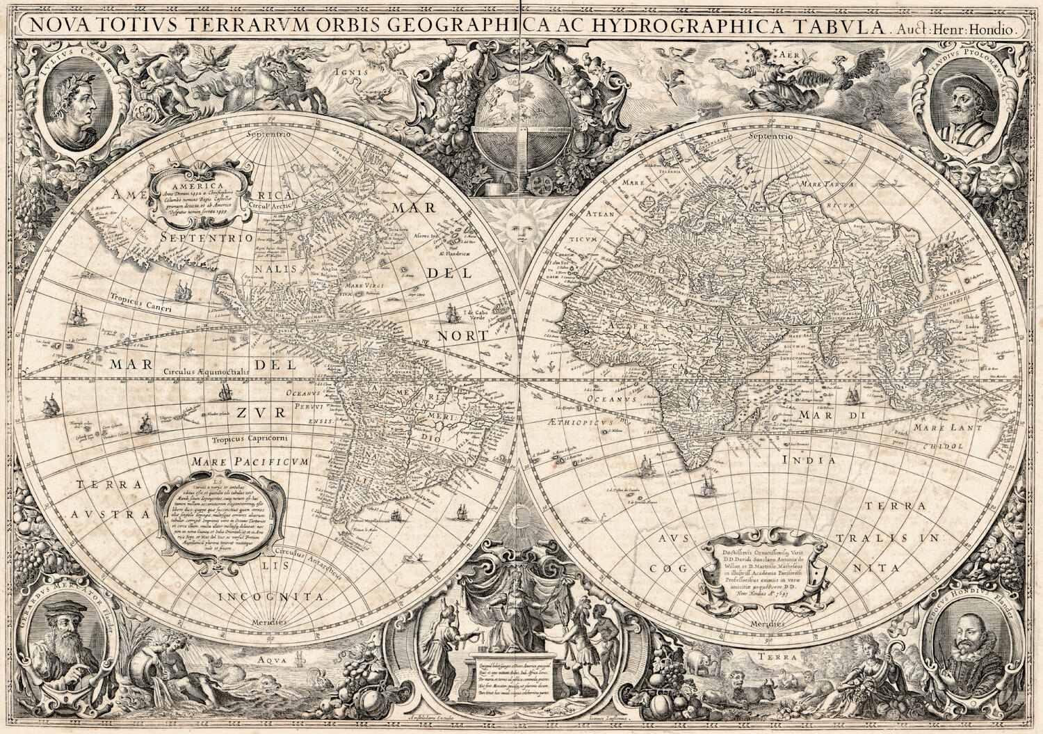
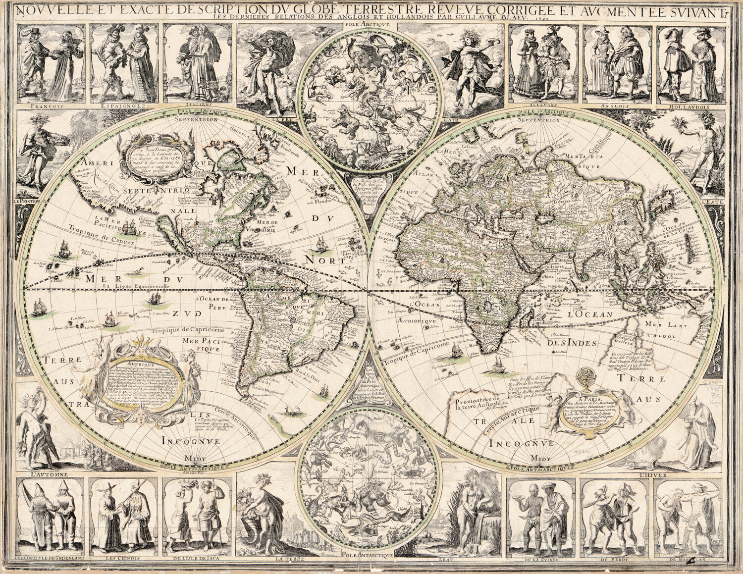
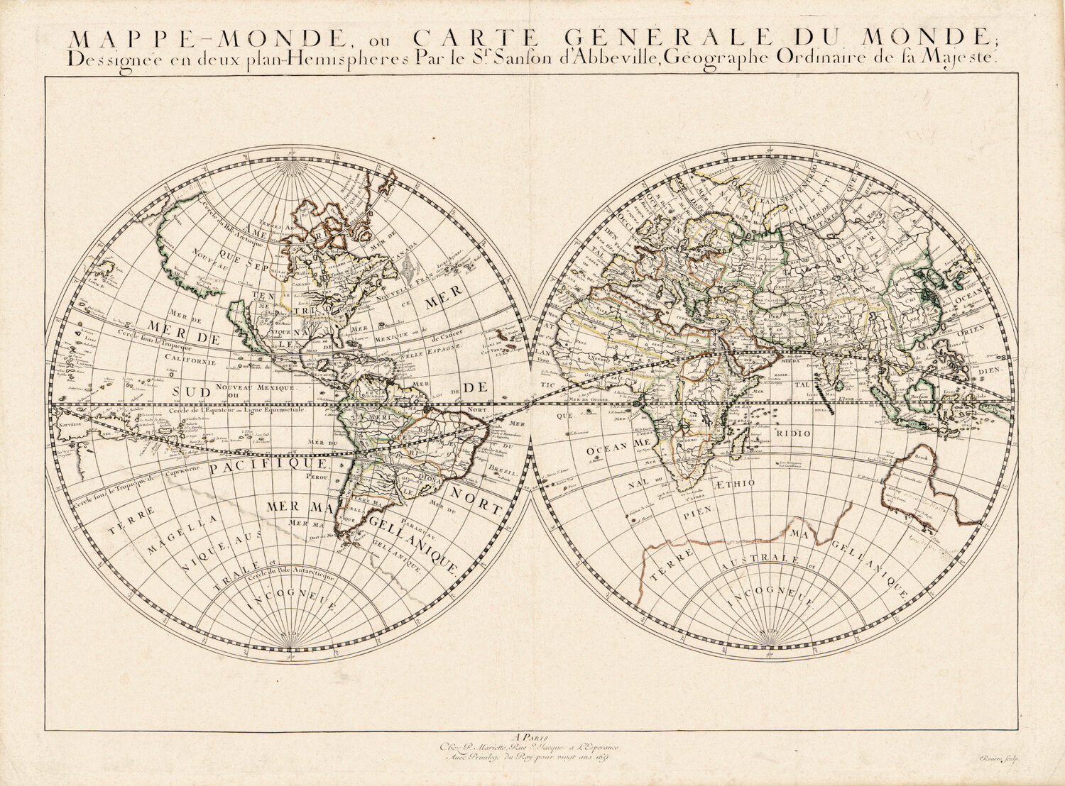
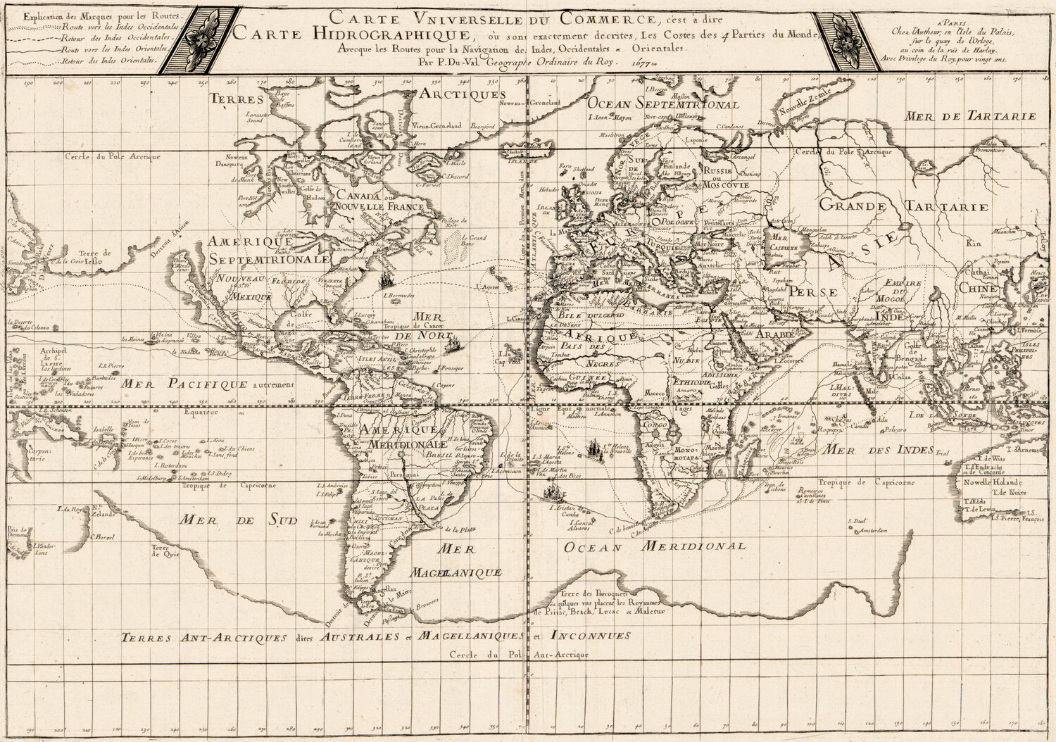
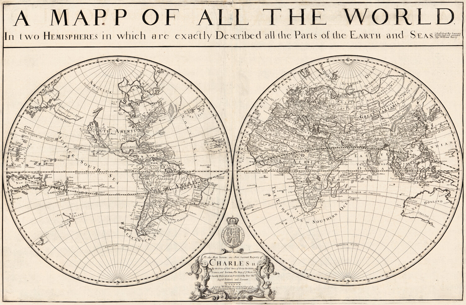
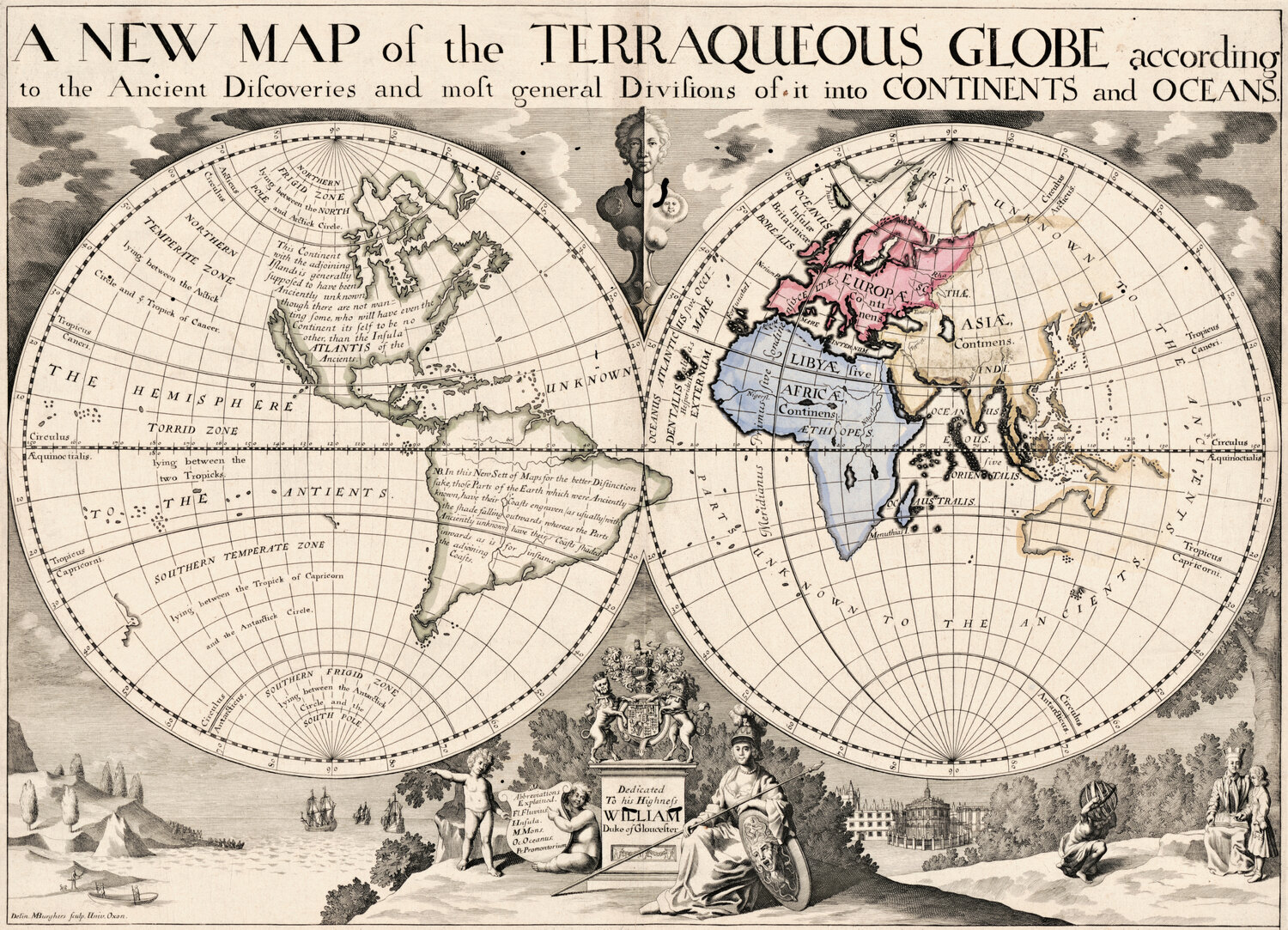
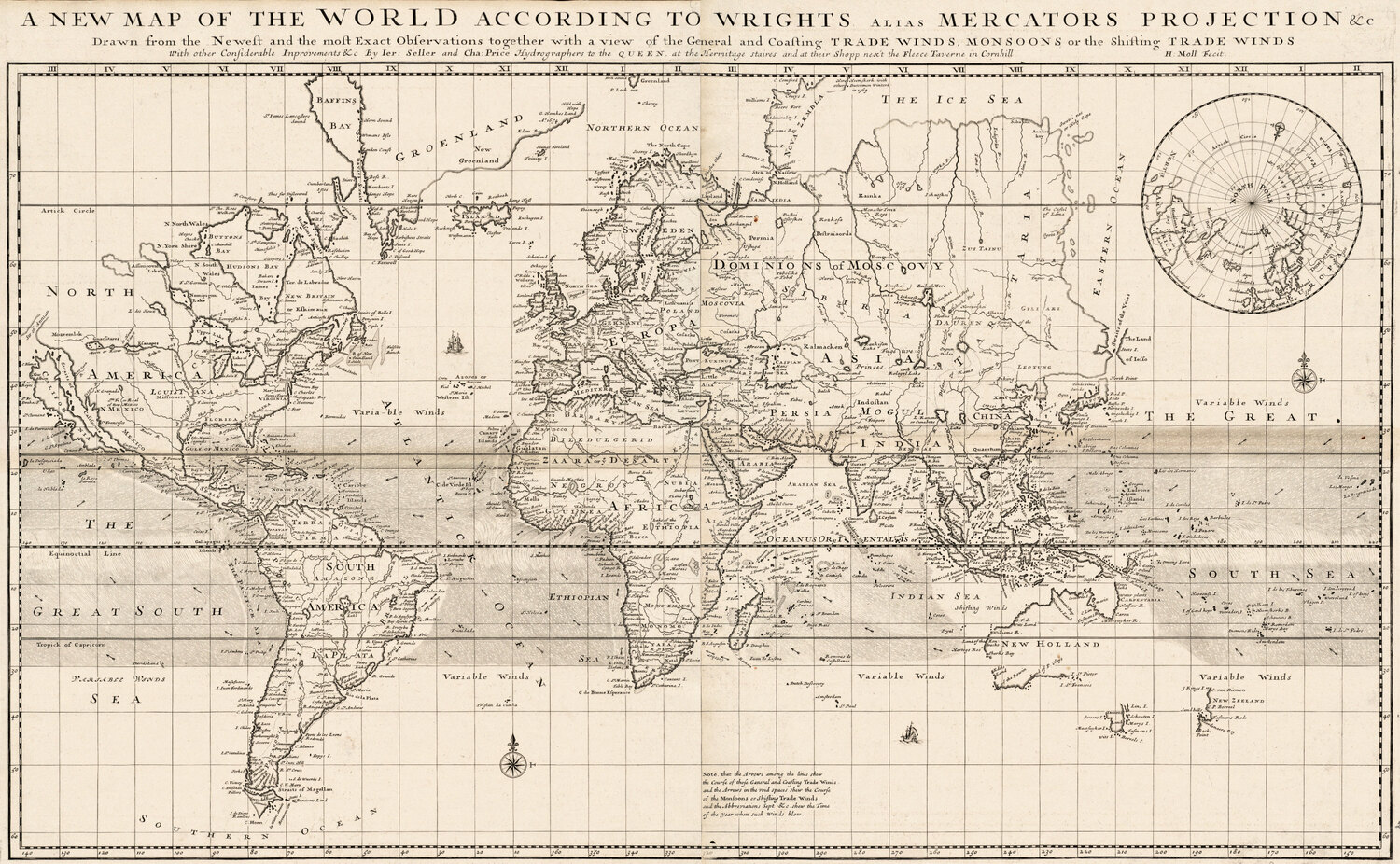
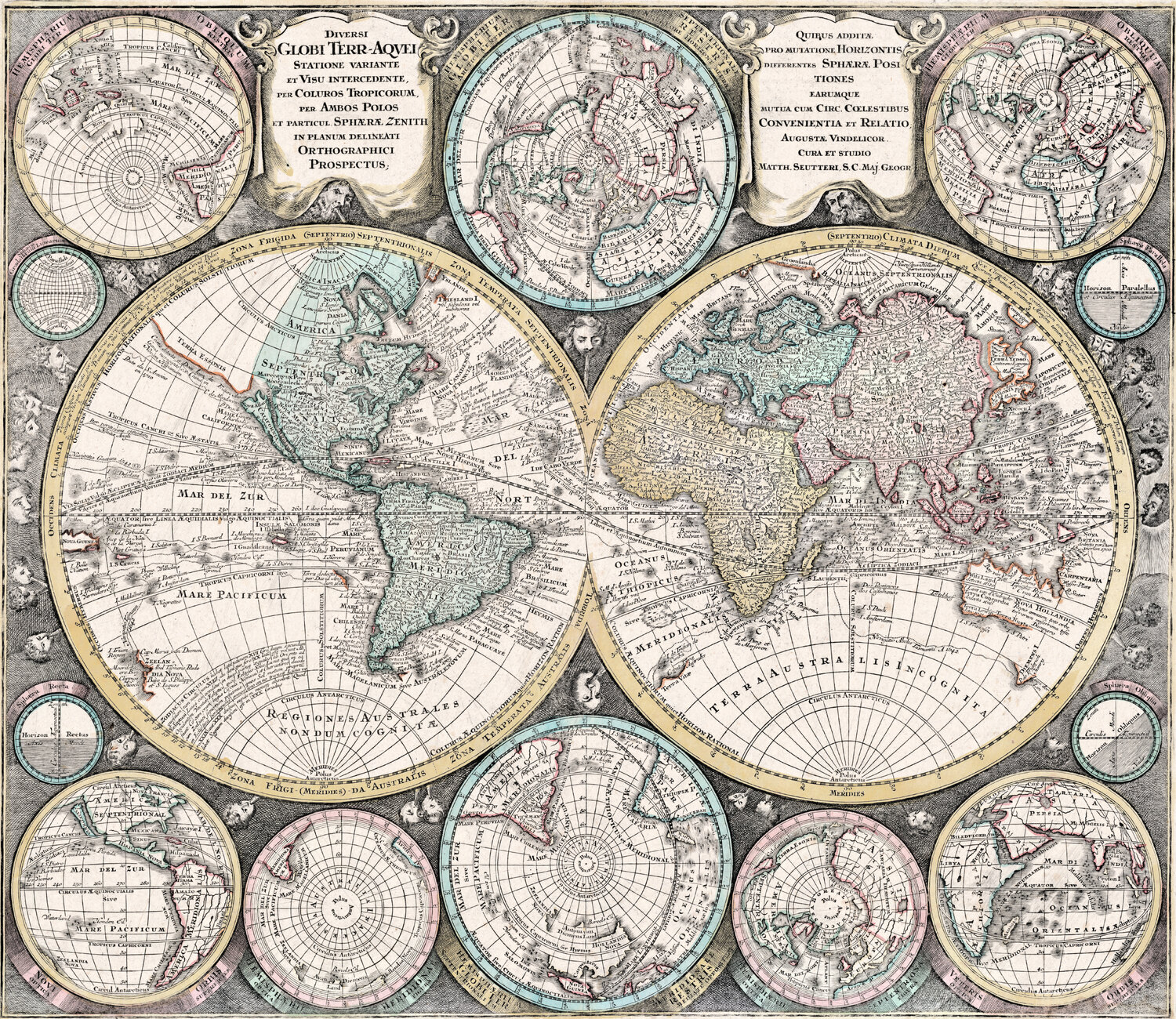
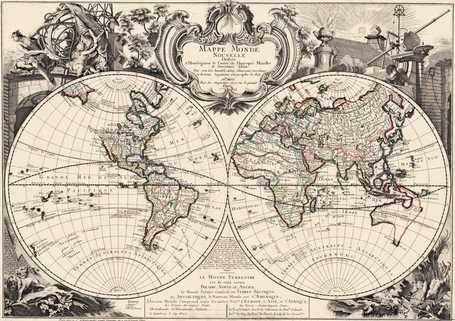
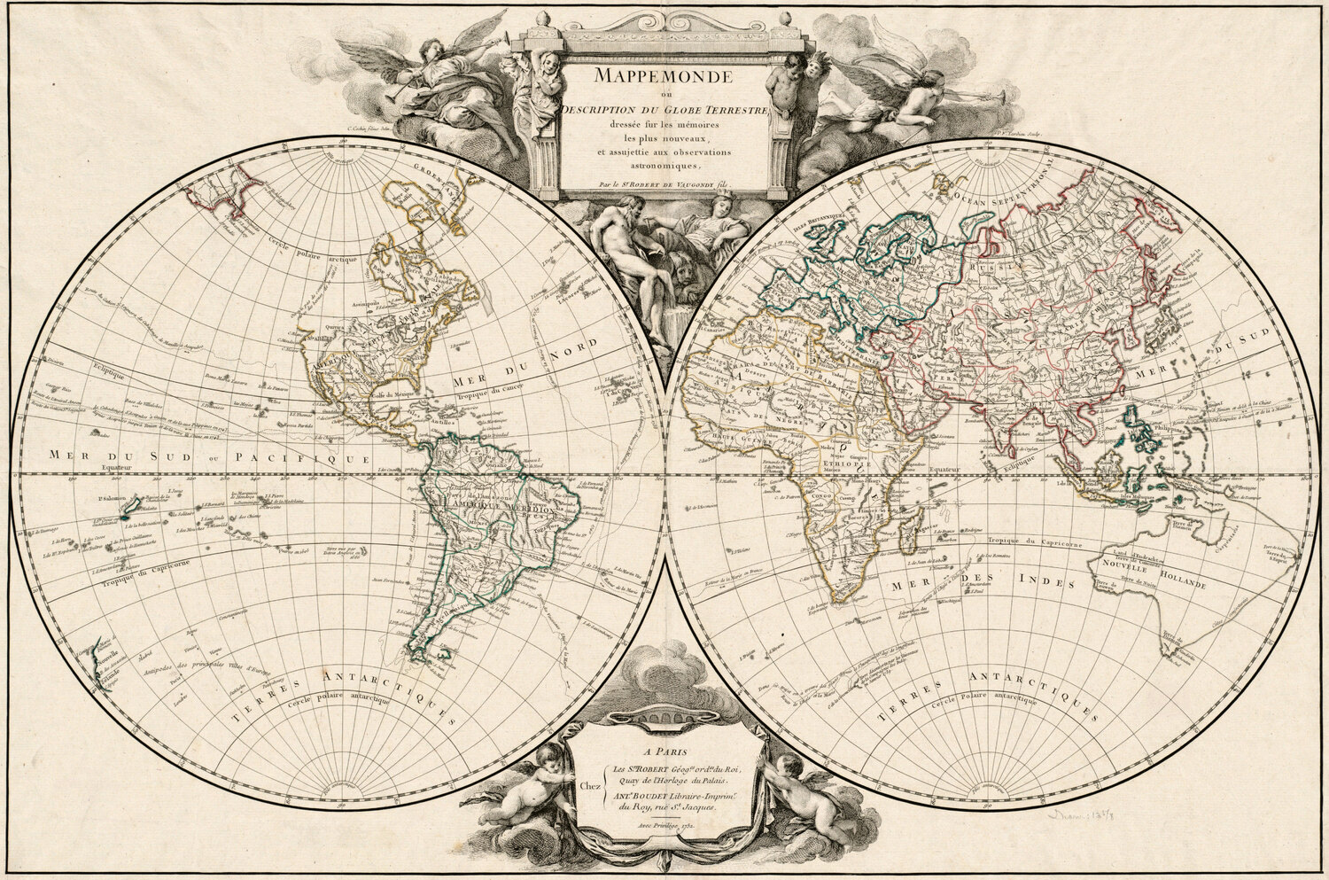
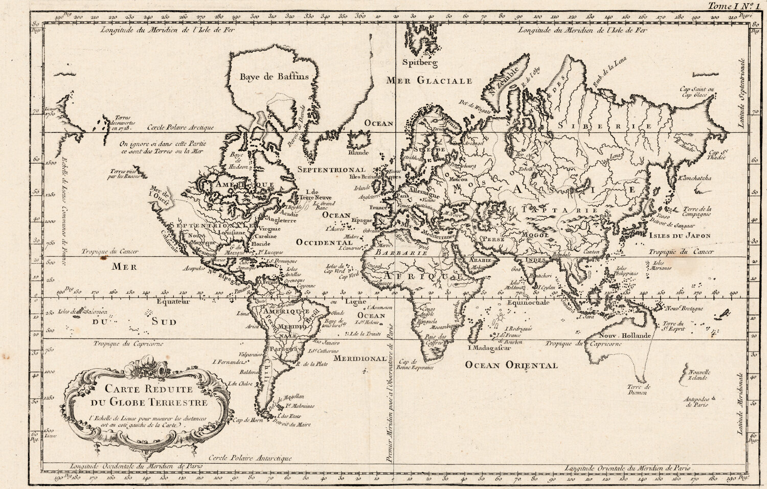
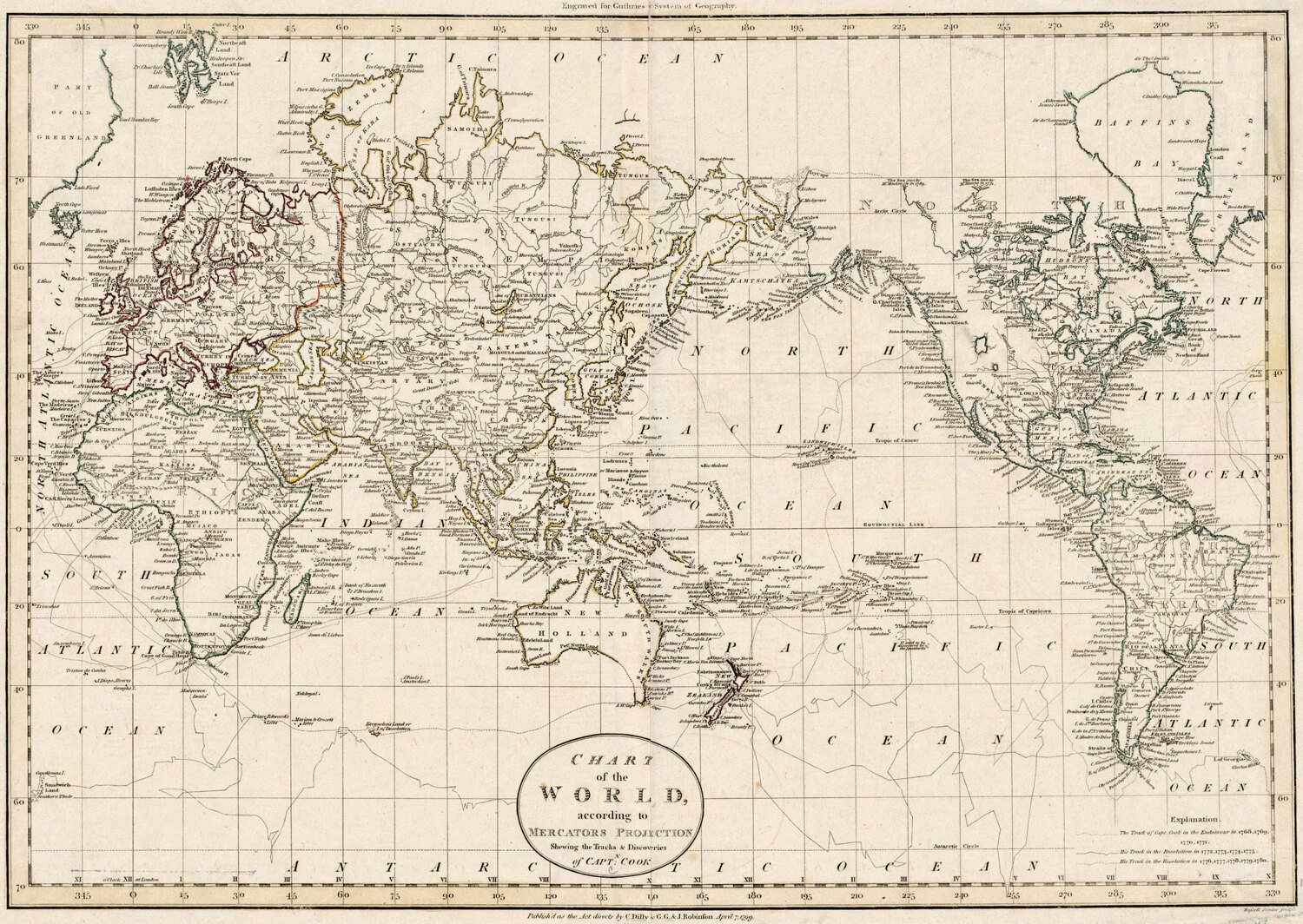
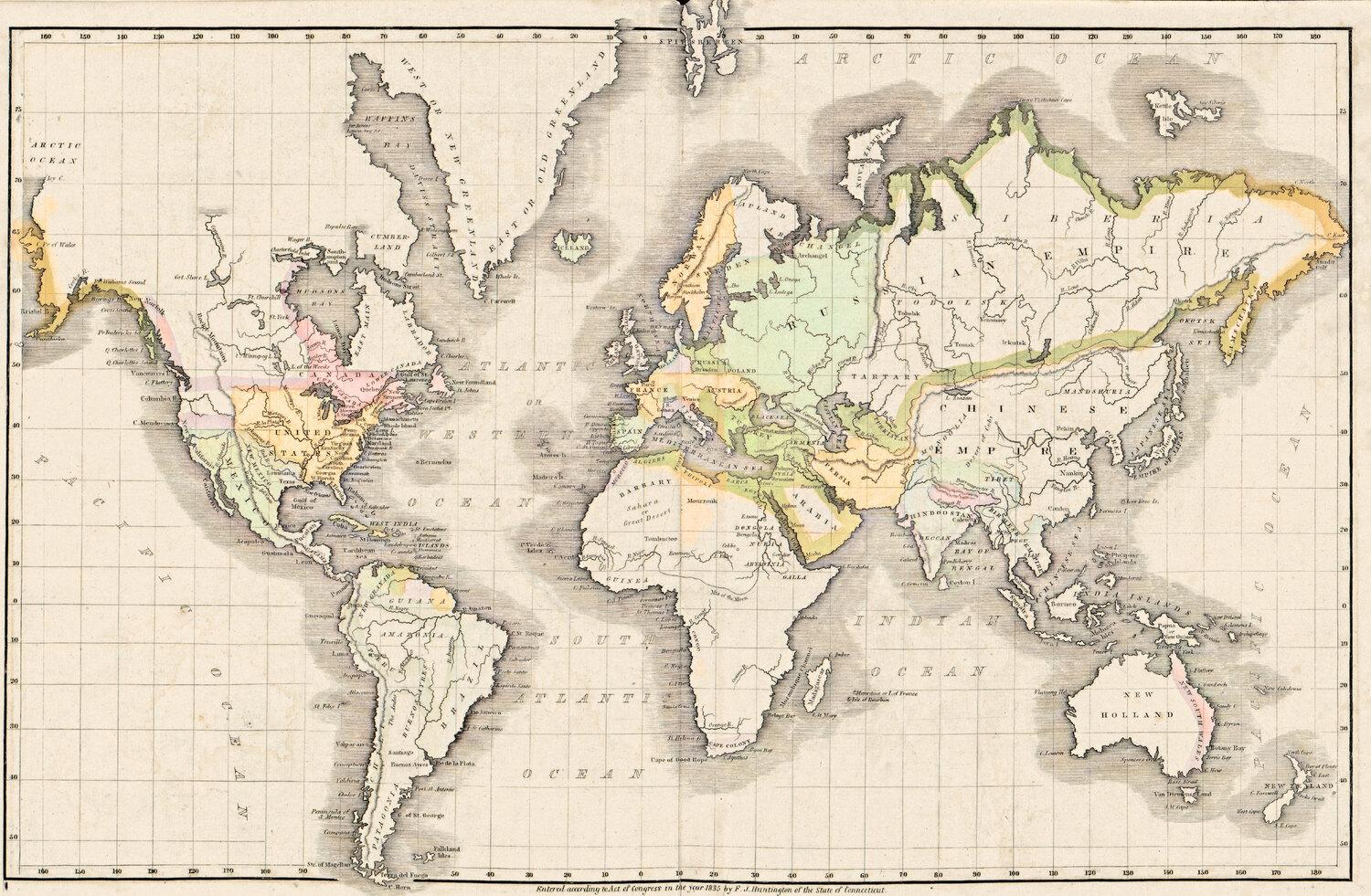
Wereldkaarten Oude wereldkaart 1541 — Fries, Typus Orbis Ptolemaei Library of Congress, Geography and Map Division · 1541 Download 1500 px Bronvermelding kopiëren Printbestand, tot 51 cm → Oude wereldkaart 1618 — Geylekerck, Orbis Terrarum Descriptio Library of Congress, Geography and Map Division · 1618 Download 1500 px Bronvermelding kopiëren Printbestand, tot 57 cm → Oude wereldkaart 1641 — Hondius, Nova Totius Terrarum Orbis Library of Congress, Geography and Map Division · 1641 Download 1500 px Bronvermelding kopiëren Printbestand, tot 55 cm → Oude wereldkaart 1645 — Blaeu, Novvelle et Exacte Description Library of Congress, Geography and Map Division · 1645 Download 1500 px Bronvermelding kopiëren Printbestand, tot 56 cm → Oude wereldkaart 1651 — Sanson, Mappe-Monde ou Carte Générale Library of Congress, Geography and Map Division · 1651 Download 1500 px Bronvermelding kopiëren Printbestand, tot 57 cm → Oude wereldkaart 1677 — Duval, Carte Vniverselle du Commerce Library of Congress, Geography and Map Division · 1677 Download 1500 px Bronvermelding kopiëren Printbestand, tot 53 cm → Oude wereldkaart 1680 — Sanson, A Mapp of All the World Library of Congress, Geography and Map Division · 1680 Download 1500 px Bronvermelding kopiëren Printbestand, tot 89 cm → Oude wereldkaart 1700 — Wells, Terraqueous Globe Library of Congress, Geography and Map Division · 1700 Download 1500 px Bronvermelding kopiëren Printbestand, tot 51 cm → Oude wereldkaart 1706 — Moll, A New Map of the World Boston Public Library, Norman B. Leventhal Map & Education Center · 1706 Download 1500 px Bronvermelding kopiëren Printbestand, tot 71 cm → Oude wereldkaart 1740 — Seutter, Diversi Globi Terr-Aquei Library of Congress, Geography and Map Division · 1740 Download 1500 px Bronvermelding kopiëren Printbestand, tot 59 cm → Oude wereldkaart 1744 — Le Rouge, Mappe Monde Nouvelle Library of Congress, Geography and Map Division · 1744 Download 1500 px Bronvermelding kopiëren Printbestand, tot 73 cm → Oude wereldkaart 1752 — Robert de Vaugondy, Mappemonde Boston Public Library, Norman B. Leventhal Map & Education Center · 1752 Download 1500 px Bronvermelding kopiëren Printbestand, tot 67 cm → Oude wereldkaart 1764 — Bellin, Carte réduite du globe Library of Congress, Geography and Map Division · 1764 Download 1500 px Bronvermelding kopiëren Printbestand, tot 48 cm → Oude wereldkaart 1799 — Chart of the World Boston Public Library, Norman B. Leventhal Map & Education Center · 1799 Download 1500 px Bronvermelding kopiëren Printbestand, tot 68 cm → Oude wereldkaart 1839 — Willard, Universal History Library of Congress, Geography and Map Division · 1839 Download 1500 px Bronvermelding kopiëren Printbestand, tot 43 cm → Hemelkaarten en de maan Zo vermeldt u de bron Plak de gekopieerde regel onder de afbeelding, bijvoorbeeld:
Oude wereldkaart 1541 — Fries, Typus Orbis Ptolemaei — gerestaureerd door Old Map Studio , scan: Library of Congress, Geography and Map Division
Groter of voor een product? Voor wandprints en elk commercieel gebruik heeft elke kaart op zijn pagina het volledige printbestand op 300 dpi: het hele blad, de kaart bijgesneden tot de rand en vier standaardformaten, met een restauratiepaspoort.