Antique World Map 1618 — Geylekerck, Orbis Terrarum Descriptio

Description
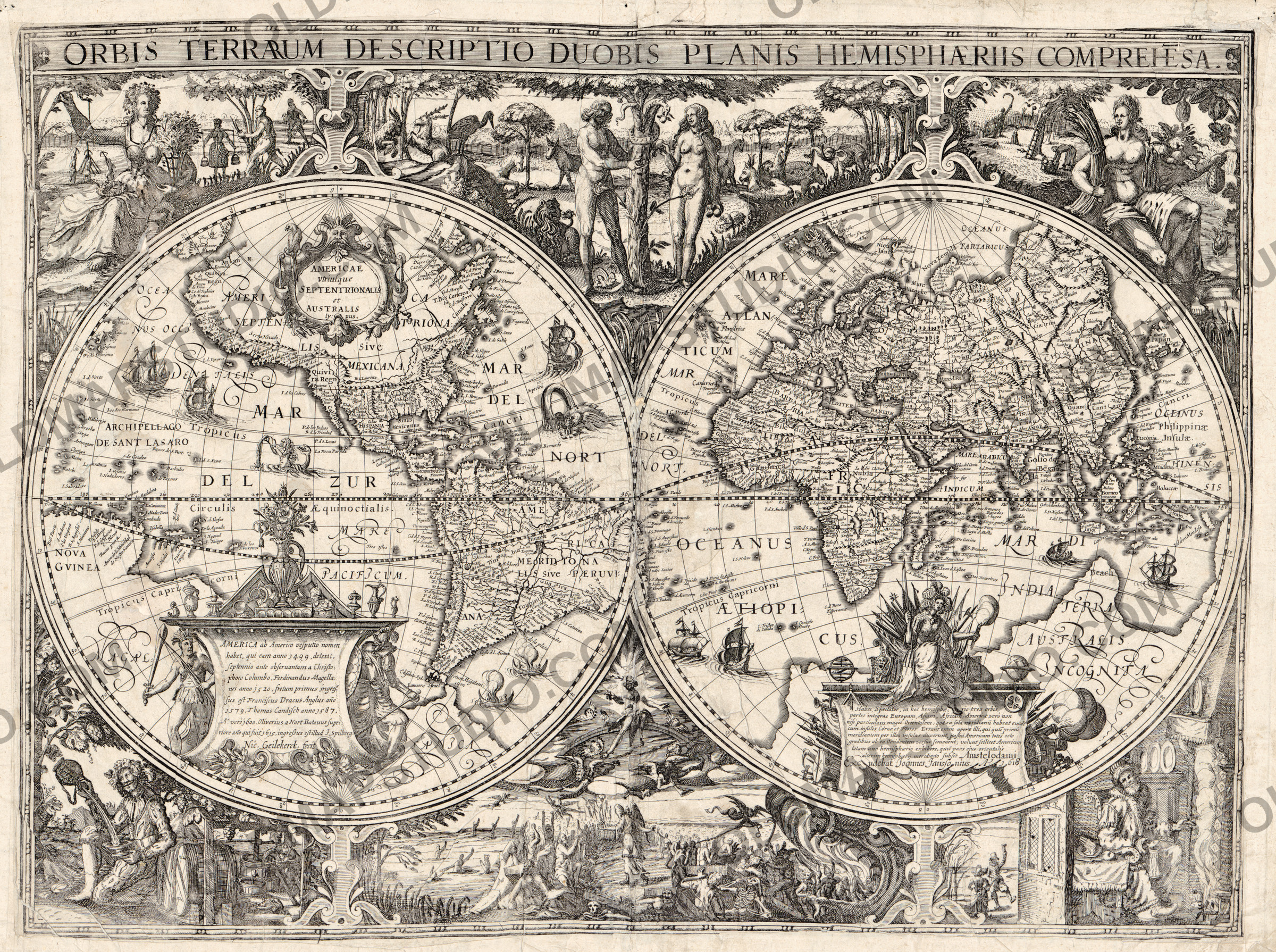
An old world map of 1618, with Eden and the last judgement around it
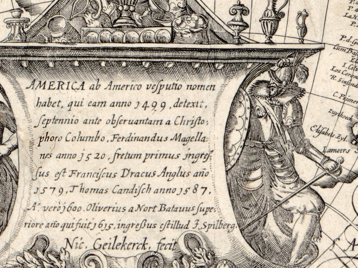
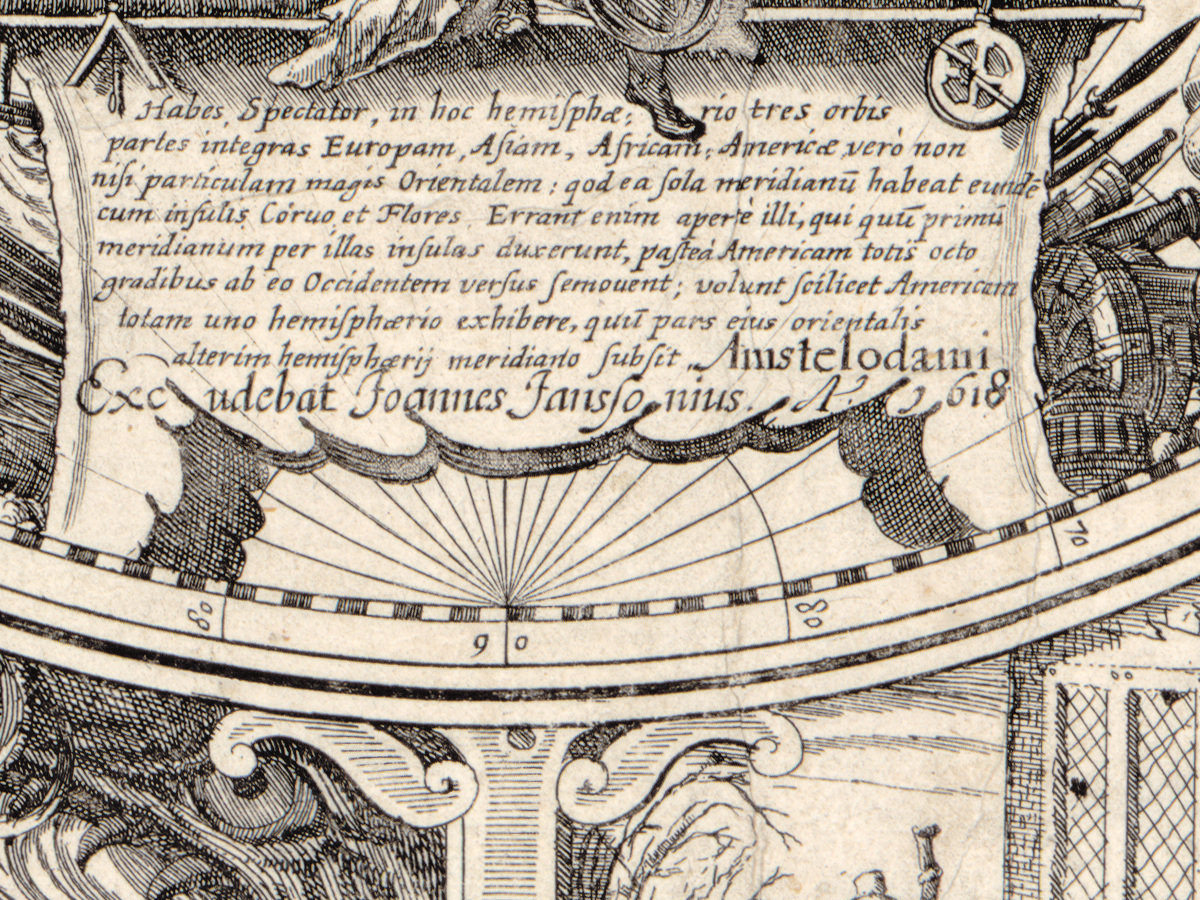
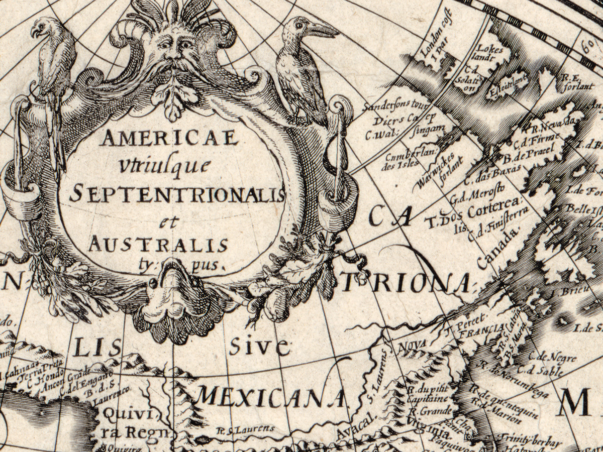
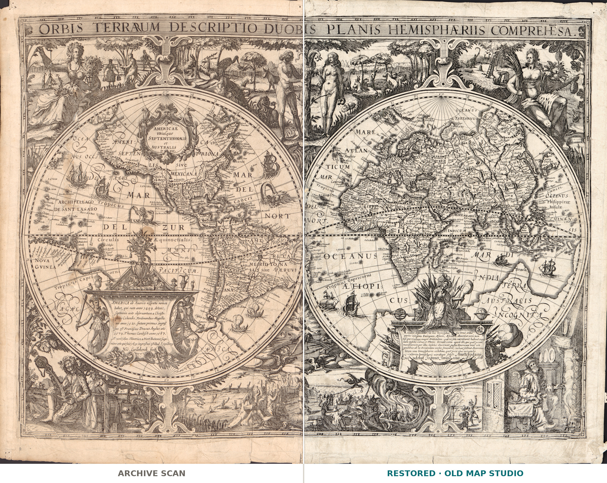
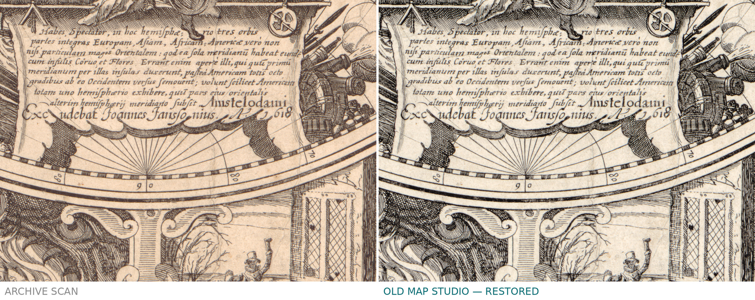
The Latin title describes the layout exactly: orbis terrarum descriptio duobis planis hemisphaeriis comprehensa — a description of the world set out in two flat hemispheres. Nicolaes Geylekerck drew it and Joannes Janssonius printed it in Amsterdam in 1618. On a sheet of 45 by 59 cm, around two circles of 27 cm, the plate carries illustrations no modern world map would have: the garden of Eden, the last judgement, and the four seasons. In 1618 a map of the world was still expected to say where the world began and how it would end.
Your file
| Original | Nicolaes Geylekerck, printed by Joannes Janssonius, Amsterdam, 1618 |
| Sheet | 45 × 59 cm, two hemispheres of 27 cm |
| Scan | full sheet 6939 × 5306 px; the map inside the trimmed border 6768 × 5048 px. From the library's own scan, not an upscale |
| Print size at 300 dpi | the map prints to 57 cm (22 in), the full sheet with margins to 58 cm (22 in) |
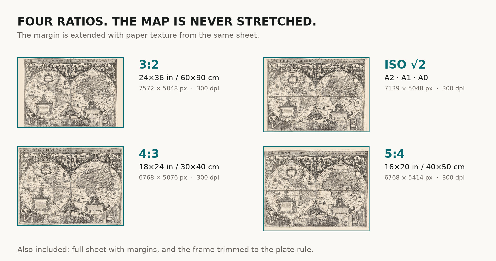
| You download | six ZIP archives: full sheet, trimmed, 3:2, 4:3, 5:4 and ISO A |
| Inside each one | one JPEG at 300 dpi, the restoration passport as a PDF, a READ ME |
How to print
- Pick the archive whose proportions match your frame, so nothing is cropped or stretched.
- Ask for matte fine-art paper, printed in sRGB with auto-enhancement off.
- Where to print it: print shops near you and checked prices at online labs.
Source and rights
Library of Congress, Geography and Map Division, call number G3200 1618 .G4, LCCN 2017585805. The Library states the content is free to use and reuse, crediting Library of Congress, Geography and Map Division. Its record is candid about this copy: mounted on paper, wrinkled, stained, with pin holes in all four corners, and a French map of the North Pole stuck to the back. There is no TIFF master in the package. Catalogue record: Library of Congress →
Features
- Latin
Attachments
Reviews
No reviews found
See also
-
 Antique World Map 1818 — Macpherson, Orbis Veteribus Cognitus
-
Antique World Map 1564 — Mercator, Quam Hic Vides Orbis Imaginem
-
Antique World Map 1651 — Sanson, Mappe-Monde ou Carte Générale
-
Antique World Map 1714 — Delisle, Orbis Veteribus Noti
-
Antique World Map 1778 — Brion de la Tour, Mappemonde
-
Antique World Map c. 1750 — Izobrazhenie Zemnogo Globusa