Antique World Map 1541 — Fries, Typus Orbis Ptolemaei

Description
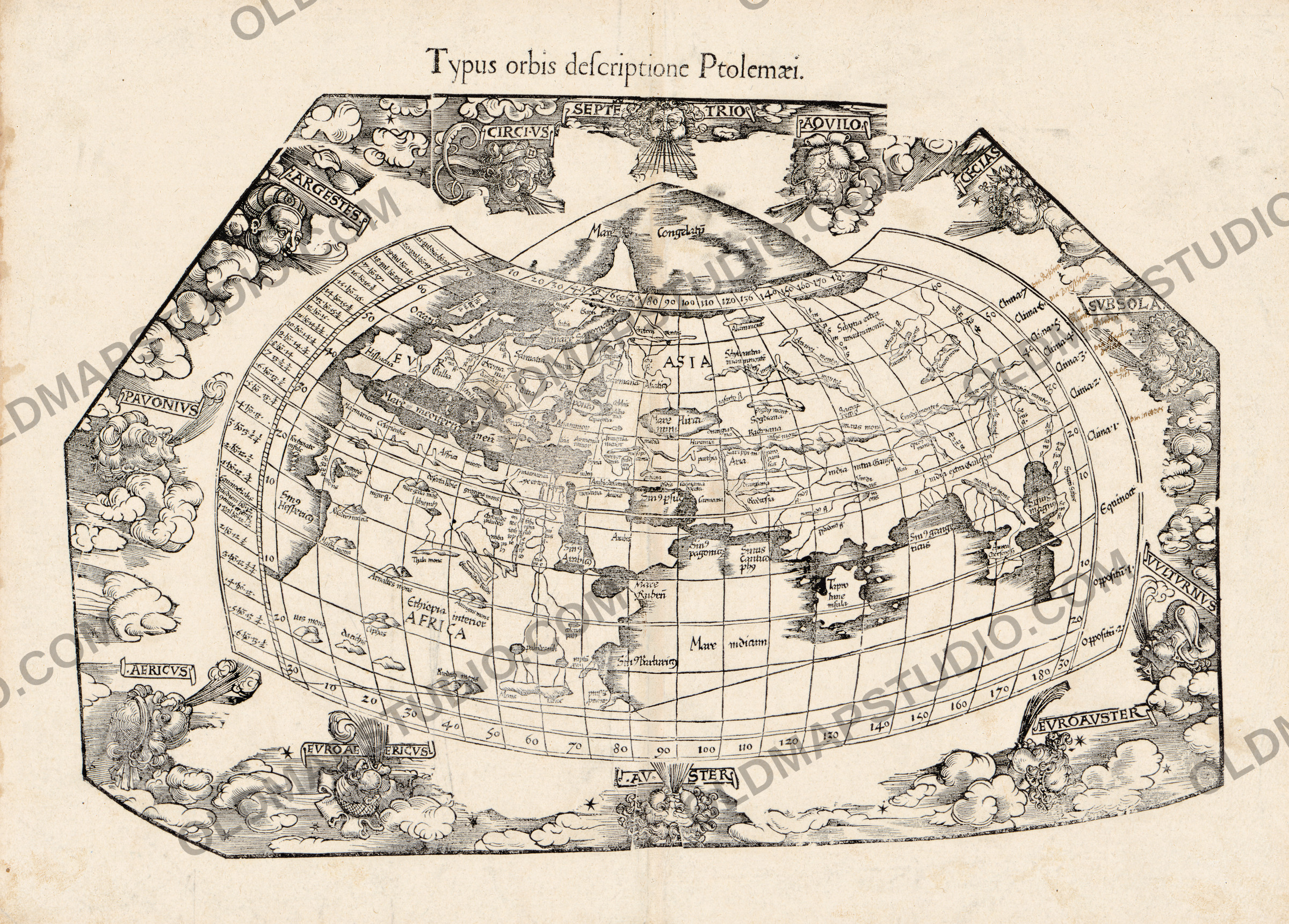
An old world map of 1541, cut in wood after Ptolemy
The title states the claim: typus orbis descriptione Ptolemaei — the shape of the world according to Ptolemy's description. This is not a map of the discoveries but an ancient world map, the geography of a second-century Alexandrian still being printed fourteen centuries later. The block is by Lorenz Fries, and the Library of Congress record places the impression in an edition of Ptolemy's Geographia published in 1541, printed at Vienne by Gaspard Trechsel. Shirley lists it in his Mapping of the World as number 47.
What is on the sheet
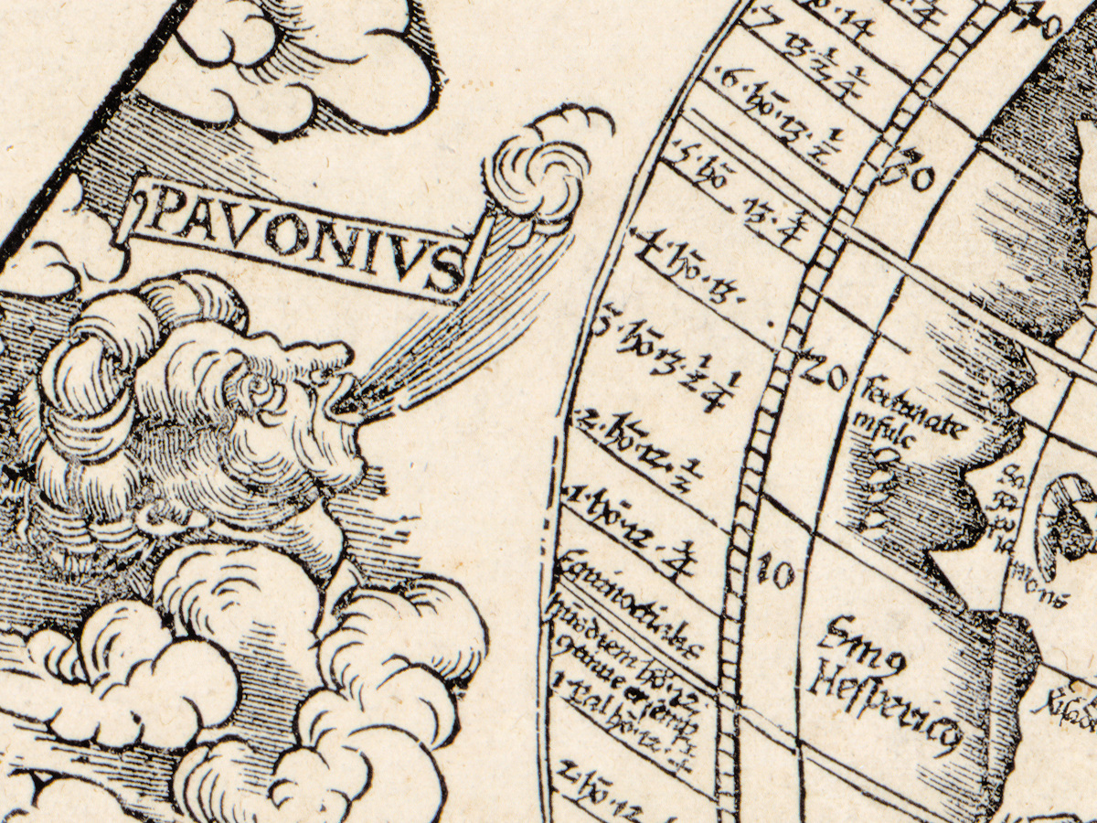
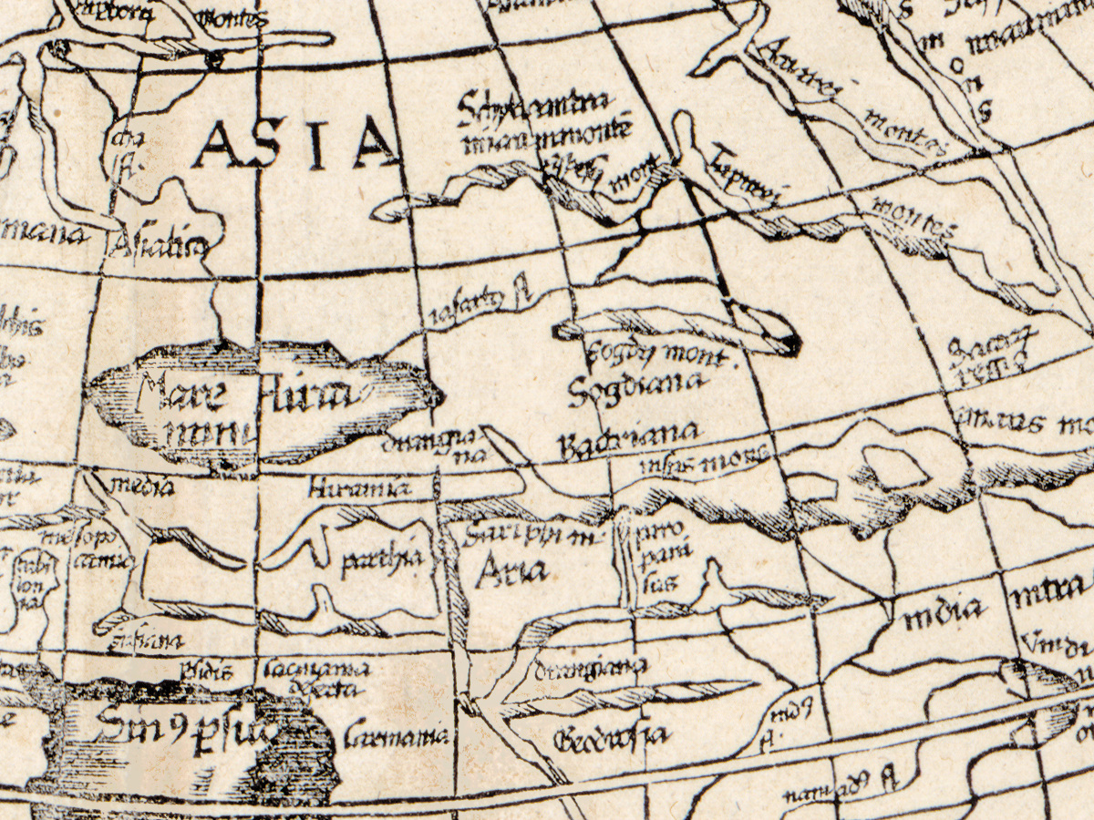
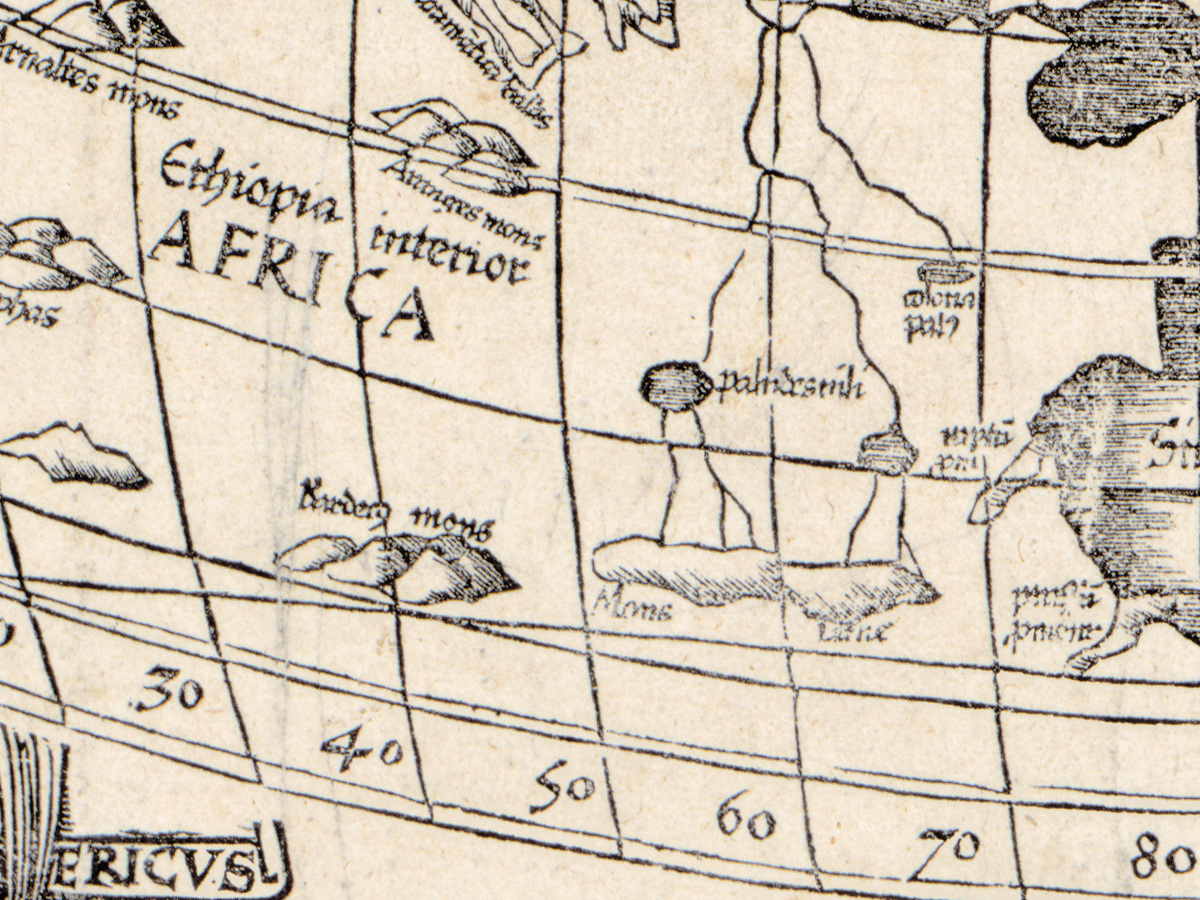
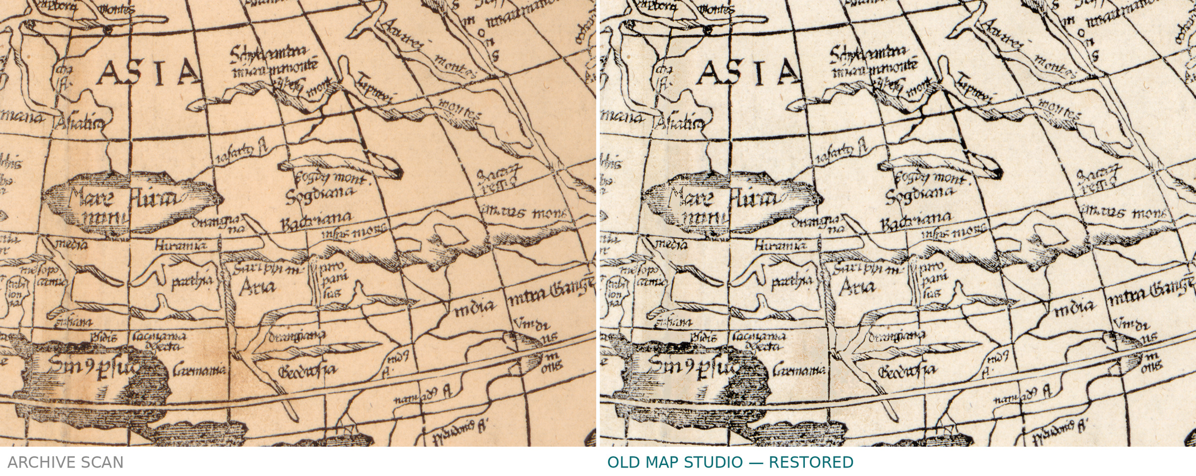
One map, 30 by 46 cm, cut in wood rather than engraved in metal — and a woodcut reads differently on a wall: the line is broader, blacker and more graphic than the fine hatching of a copper plate. Relief is shown pictorially. Around the map the block carries illustrations of the winds, the heads that blow in from the edge of the world in classical geography.
Fries, Trechsel and a ten-year gap
The record dates Lorenz Fries to about 1490–1531 and Gaspard Trechsel's working life to 1529–1549. The cartographer was therefore already dead when this impression was pulled: the block is his, the 1541 book is the printer's. That is normal for woodblocks, which outlived their cutters and went on being printed by whoever owned them.
Your file
| Original | Lorenz Fries, printed by Gaspard Trechsel, Vienne, 1541, woodcut |
| Sheet | the map measures 30 × 46 cm |
| Scan | full sheet 6432 × 4738 px; the map inside the trimmed border 6080 × 4360 px. From the library's own scan, not an upscale |
| Print size at 300 dpi | the map prints to 51 cm (20 in), the full sheet with margins to 54 cm (21 in) |
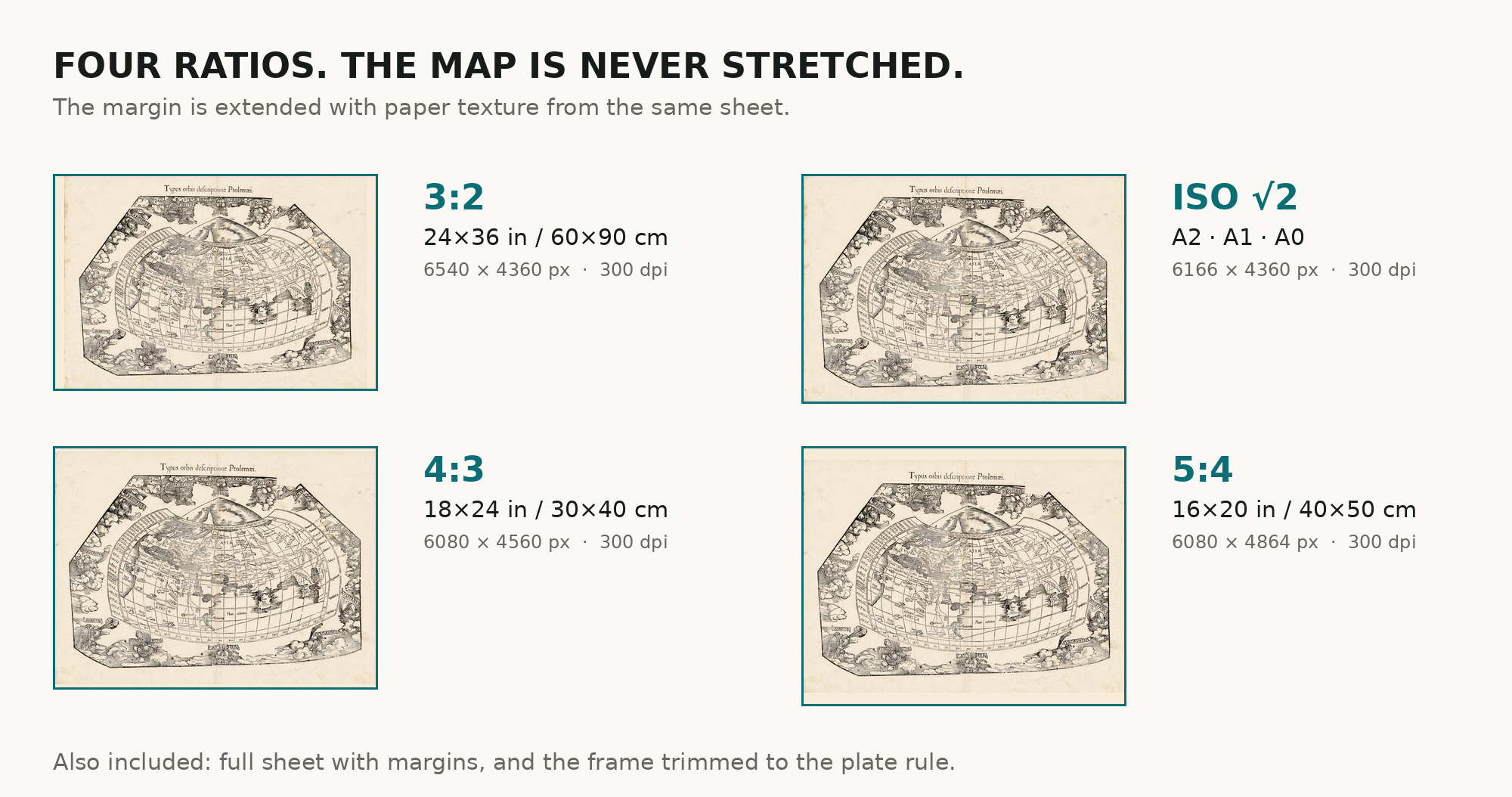
| You download | six ZIP archives: full sheet, trimmed, 3:2, 4:3, 5:4 and ISO A |
| Inside each one | one JPEG at 300 dpi, the restoration passport as a PDF, a READ ME |
How to print
- Pick the archive whose proportions match your frame, so nothing is cropped or stretched.
- A woodcut wants a warm, slightly textured paper — the broad black line carries it.
- Ask for matte fine-art paper, printed in sRGB with auto-enhancement off.
- Where to print it: print shops near you and checked prices at online labs.
Source and rights
Library of Congress, Geography and Map Division, call number G3200 1541 .F82, LCCN 2017585807. The Library states that the content is free to use and reuse and asks to be credited as Library of Congress, Geography and Map Division. Its own record describes the copy as stamped in the lower left corner with the number 0 674, and mounted on cloth and laminated. Catalogue record: Library of Congress →
Questions
What exactly do I get after payment?
Six ZIP archives, each with one JPEG at 300 dpi, the restoration passport as a PDF and a READ ME. There is no TIFF master in the package.
How large can I print it?
Two numbers, because you get two files. The map prints to 51 cm (20 in) on the long side; the full sheet with its margins goes to 54 cm (21 in).
What happened to the library stamp?
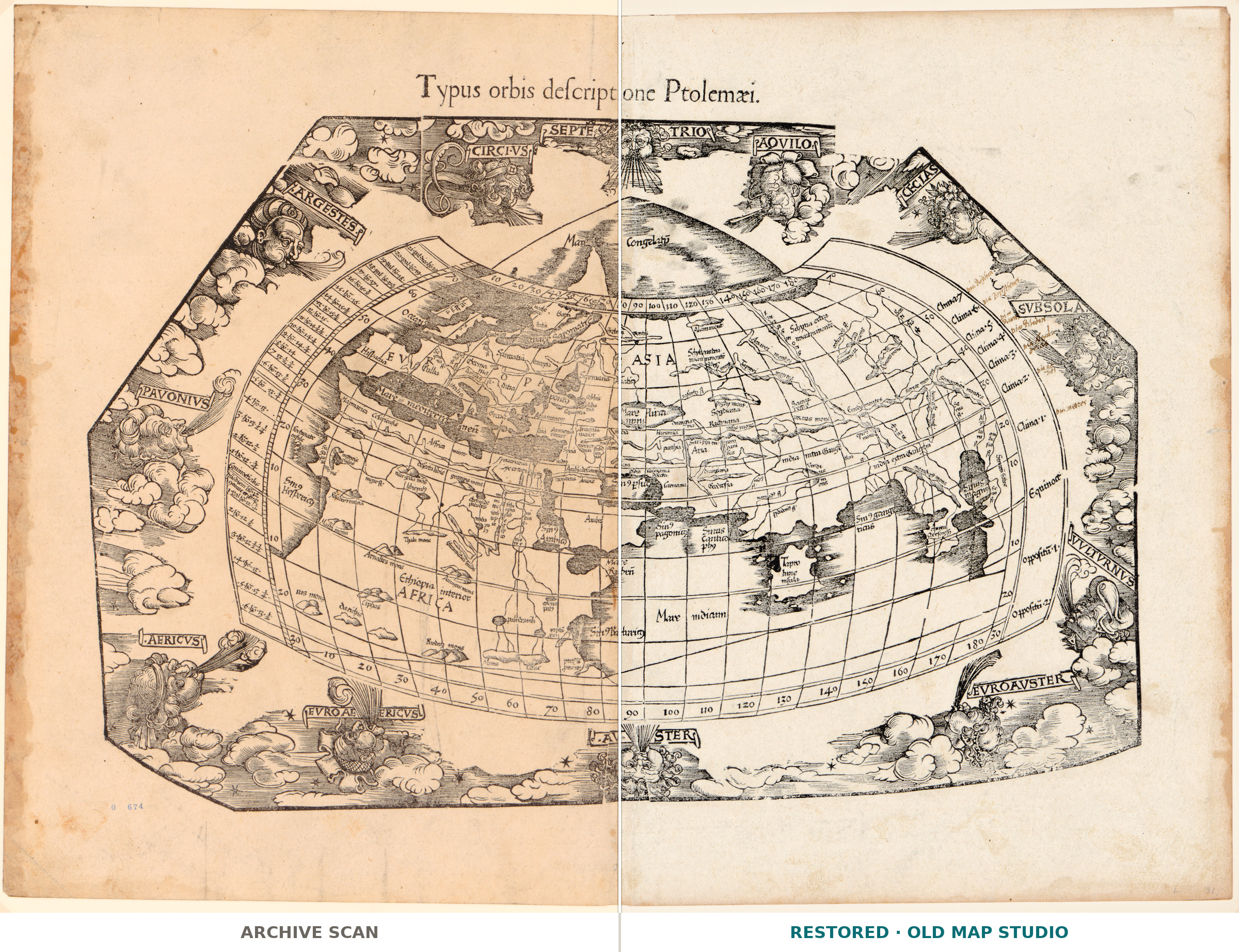
The catalogue itself records a stamp reading 0 674 in the lower left corner, and a pencil note sat beside it. Both were on the blank margin, not on the map, and both were lifted using clean paper from the same sheet.
Is the coloring original?
The record says nothing about coloring, so we claim nothing either. We add no color of our own.
Features
- Latin
Attachments
Reviews
No reviews found
See also
-
 Antique World Map 1757 — The Earth's Western Planisphere
-
Antique World Map 1641 — Hondius, Nova Totius Terrarum Orbis
-
Antique World Map c. 1675 — Seller, Novissima Totius Orbis
-
Antique World Map 1764 — Bellin, Carte réduite du globe
-
Antique World Map 1645 — Blaeu, Novvelle et Exacte Description
-
Antique World Map c. 1635 — Blaeu, Nova Totius Terrarum Orbis