Antique World Map 1680 — Sanson, A Mapp of All the World
Description
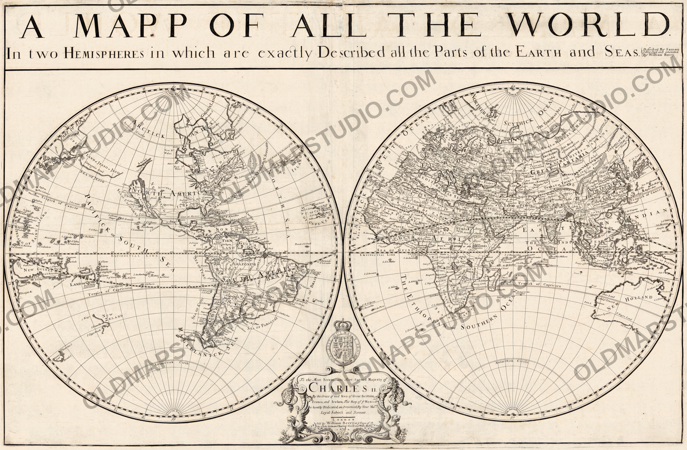
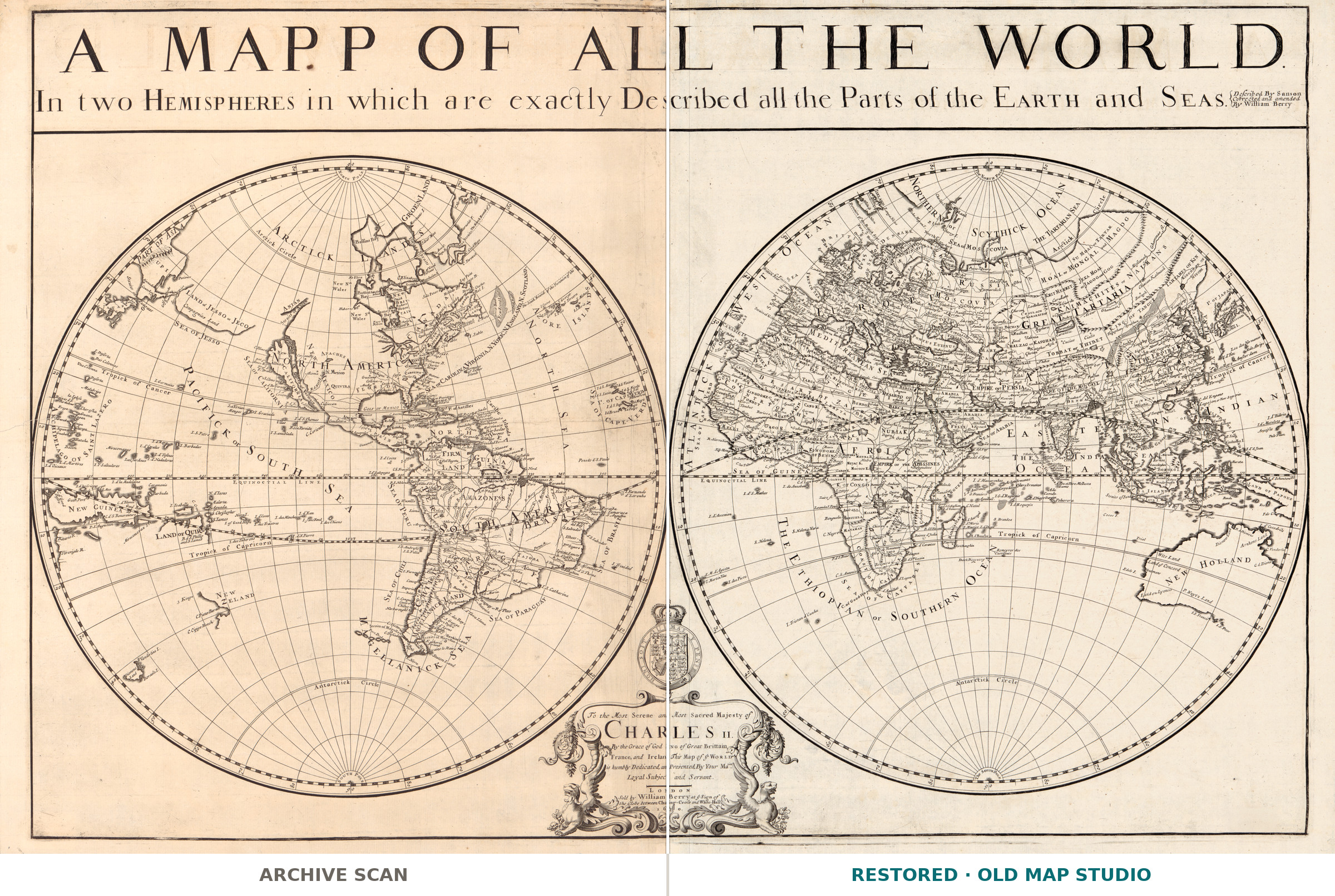
Sanson's world in two hemispheres, London 1680
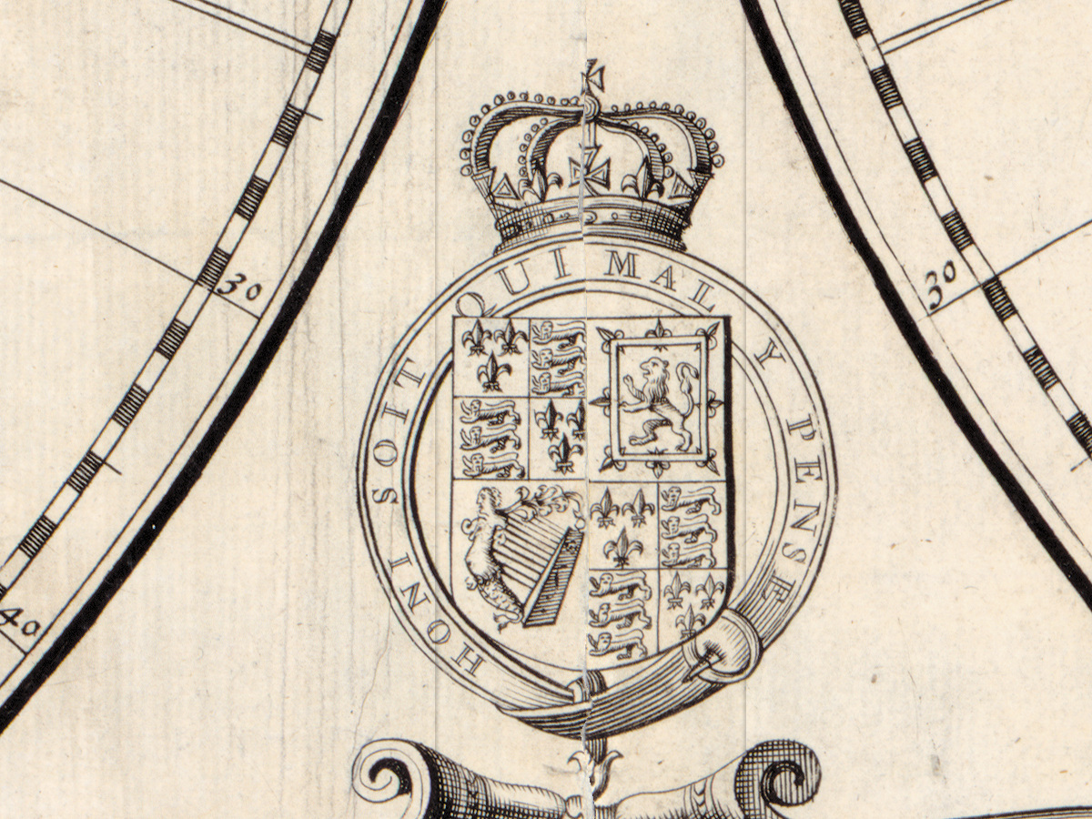
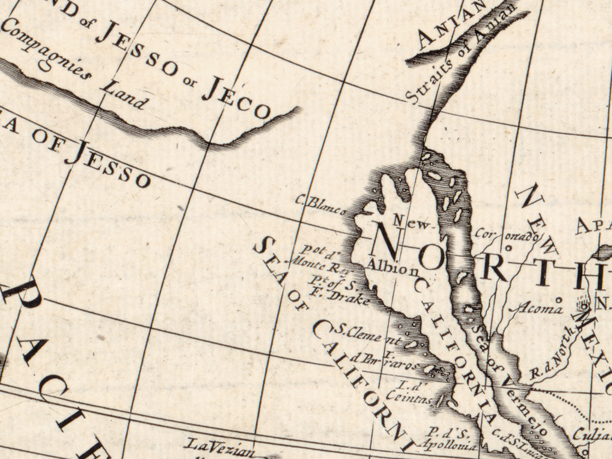
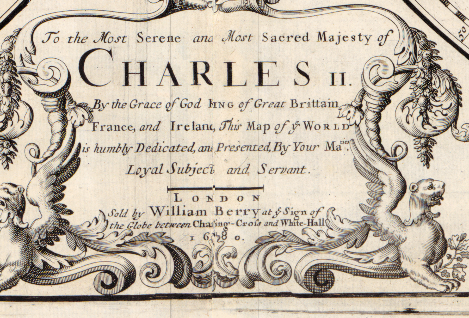
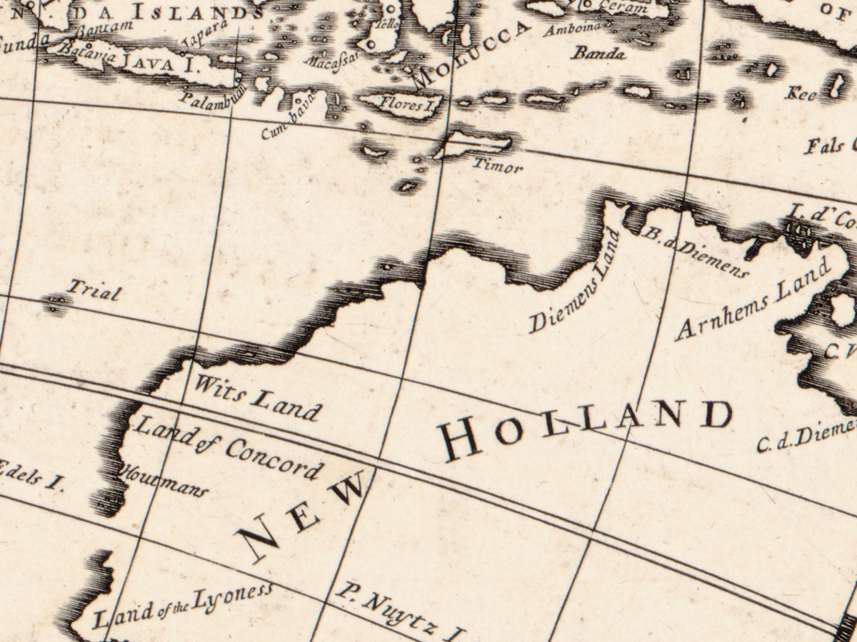
The full title is a promise in itself: A mapp of all the world projected in two hemispheres in which are exactly described all the parts of the Earth and seas. The two circles measure 43 cm across each and sit on a sheet of 60 × 93 cm, with relief drawn pictorially, an illustrated cartouche and a coat of arms. The map is dedicated to Charles II. And California is still an island — the most familiar mistake in the whole history of mapmaking, printed here at full size.
What the catalogue records
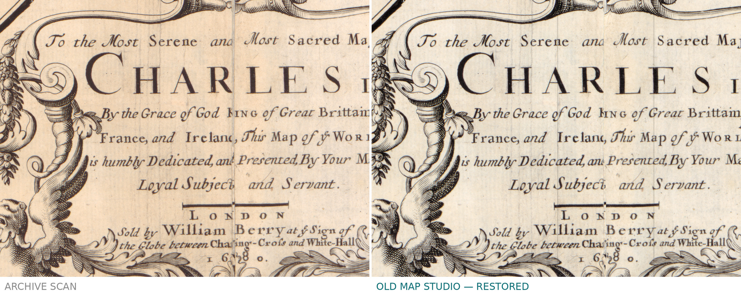
The Library of Congress entry names Nicolas Sanson as the cartographer and William Berry as the publisher, London, 1680, shelfmark G3200 1680 .S22, LCCN 2017585707. The imprint on the sheet gives Berry's shop: sold at ye sign of the globe between Charing-Cross and White-Hall. Beyond the cartouche, the coat of arms and the island of California, the record describes no further detail of the drawing — and we add none.
A French geographer, an English publisher
Nicolas Sanson lived from 1600 to 1667; Berry was active from 1669 to 1708. The sheet therefore appeared thirteen years after Sanson's death: the work of the leading French geographer of the century, reissued in London in English, for an English buyer, and dedicated to an English king. 1680 is the year of this sheet, not necessarily of the first cutting of the plate.
Your file
| Original | Nicolas Sanson, published by William Berry, London, 1680, copper engraving |
| Sheet | 60 × 93 cm, each hemisphere 43 cm across |
| Scan | 10918 × 6983 px, from the library's own scan, not an upscale |
| Print size at 300 dpi | up to 89 cm (35 in) on the long side |
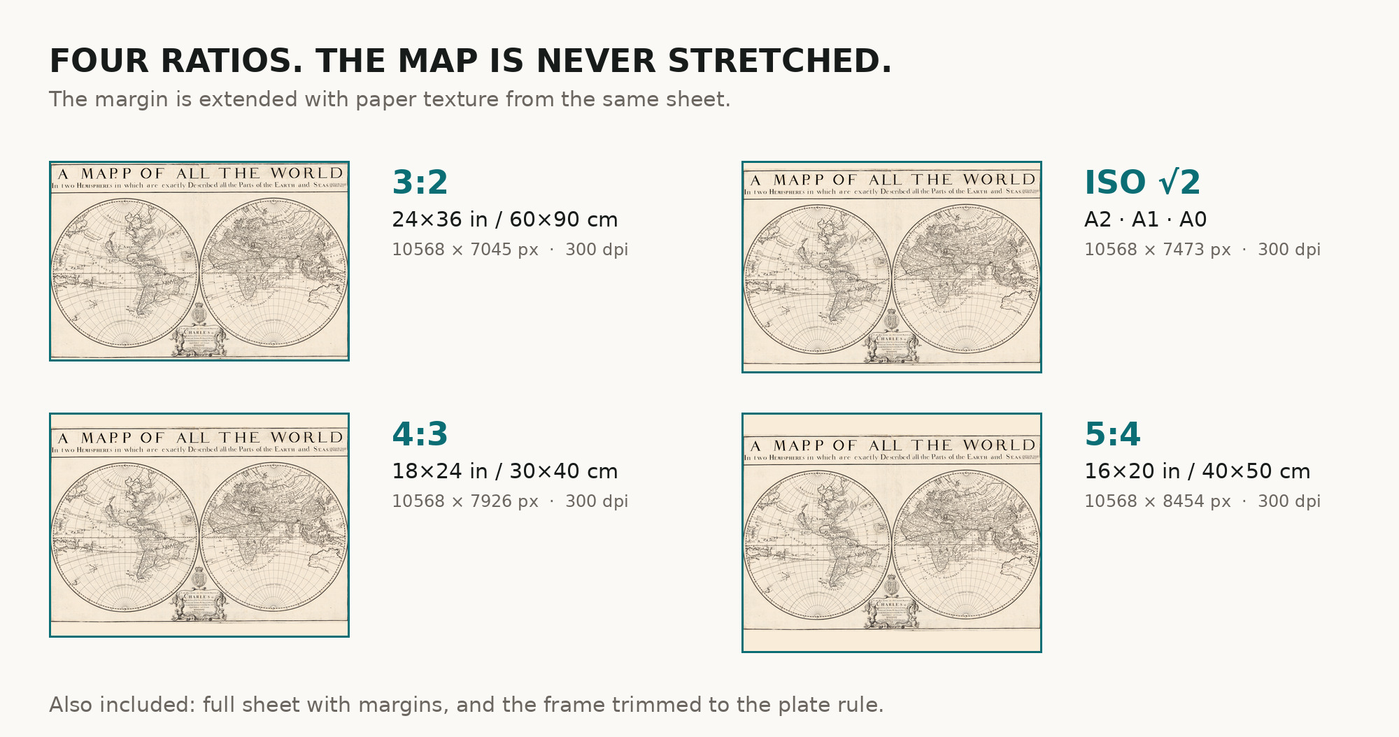
| You download | six ZIP archives: full sheet, trimmed, 3:2, 4:3, 5:4 and ISO A |
| Inside each one | one JPEG at 300 dpi, the restoration passport as a PDF, a READ ME |
How to print
- Print at 300 dpi at the size above and do not let the shop scale the file up.
- Pick the archive whose proportions match your frame, so nothing is cropped or stretched.
- Ask for matte fine-art paper, printed in sRGB with auto-enhancement off.
- Where to print it: print shops near you and checked prices at online labs.
Source and rights
The original is held by the Library of Congress, Geography and Map Division, shelfmark G3200 1680 .S22, LCCN 2017585707. The division's digitized collections are free to use and reuse, and the library is named in the passport inside every archive. Catalogue record: Library of Congress →
Questions
What exactly do I get after payment?
Six ZIP archives, each with one JPEG at 300 dpi, the restoration passport as a PDF and a READ ME. There is no TIFF master in the package.
How large can I print it?
Up to 92 cm (36 in) on the long side at 300 dpi, taken from the resolution of the library's scan, not from an upscale.
Why is California an island?
Because in 1680 many mapmakers believed it was one. The error ran for most of a century before it was corrected, and it is the detail collectors look for first.
A real antique map or a generated picture?
Real. Archive, shelfmark and year are printed above, so you can check our sheet against the library's own record.
Features
- English
Attachments
Reviews
No reviews found
See also
-
 Antique World Map 1794 — Dunn, A New Map of the World
-
Antique World Map 1706 — Moll, A New Map of the World
-
Antique World Map 1579 — Ortelius, Typus Orbis Terrarum
-
Antique World Map 1752 — Robert de Vaugondy, Mappemonde
-
Antique World Map 1740 — Seutter, Diversi Globi Terr-Aquei
-
Antique World Map c. 1696 — Sanson, Mappe-monde