Old World Wall Map c. 1643 — Rosaccio, Vniversale Descrittione

Description
An old world wall map by Giuseppe Rosaccio, Venice c. 1643
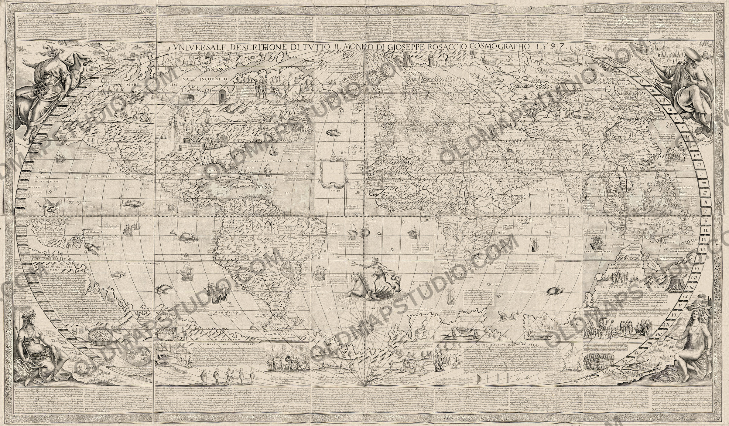
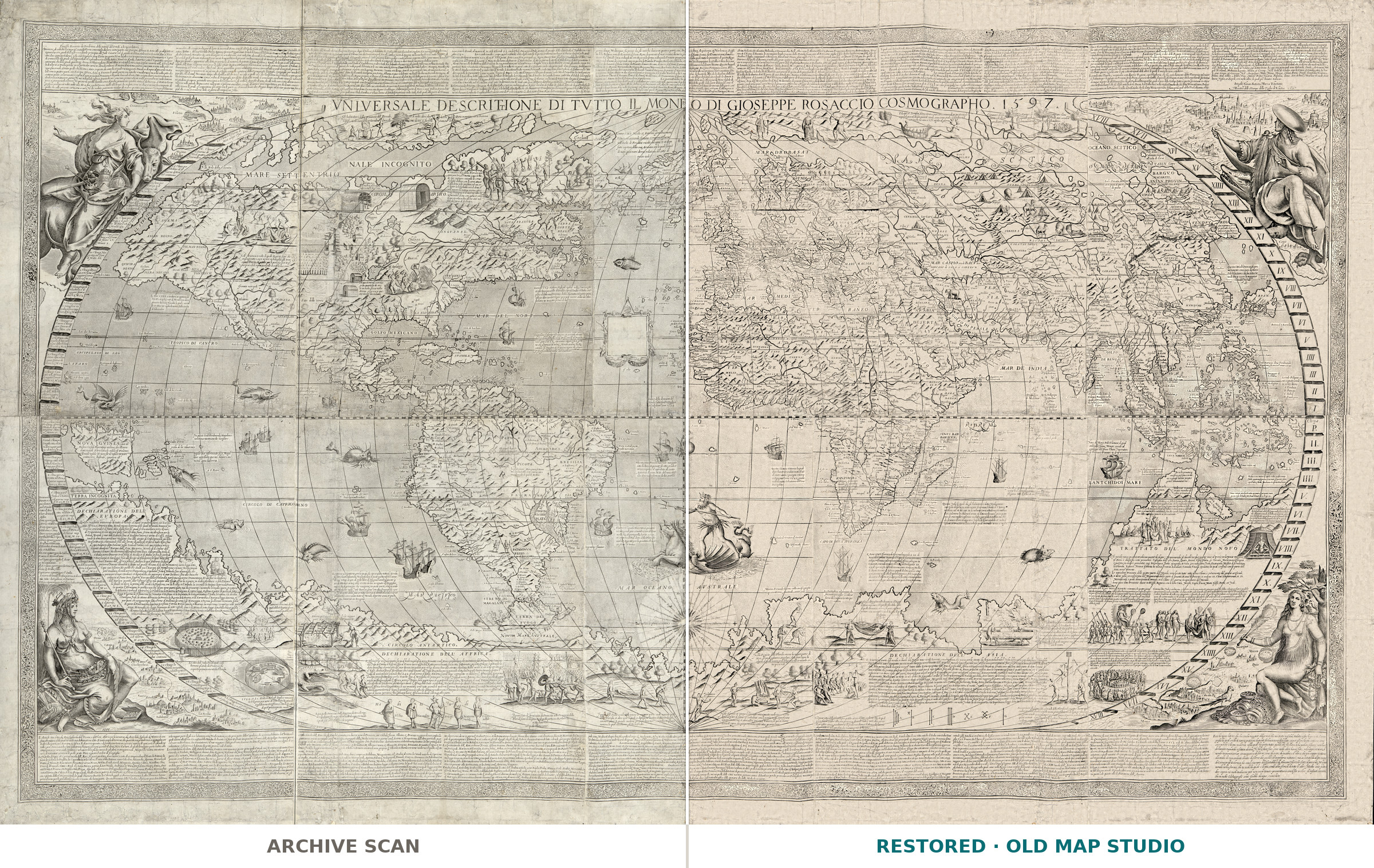
Vniversale descrittione di tvtto il monde, as the Library of Congress catalogues it, a universal description of the whole world, was made to hang on a wall. The Library of Congress copy is “assembled from 10 engraved folio sheets”, 103 × 180 cm overall. Its record supplies the place (Venice), the publisher (Giovanni Battista Mazza) and the year in square brackets, the year as [1643?]. The engraved title across the top gives another date: VNIVERSALE DESCRITTIONE DI TVTTO IL MONDO DI GIOSEPPE ROSACCIO COSMOGRAPHO. 1597.
Giuseppe Rosaccio was born in Pordenone, in an unknown year, and took a degree in philosophy and medicine at Padua. The Dizionario Biografico degli Italiani calls him a cosmologist, cosmographer, “istorico”, cartographer and topographer. In 1598 he published in Venice an edition of Ptolemy’s Geography with maps of his own. By then he lived in Florence, where in 1594 he had entered the guild of physicians and apothecaries; he died around 1620, perhaps there.
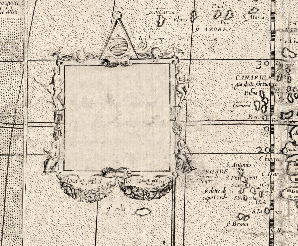
The engraver signed twice. At the end of the text band at the upper right stands Intagliò, Giouan Batista Mazza Venetiano, Maestro delle Stampe della Zecha di Venetia: cut by Giovanni Battista Mazza of Venice, master of the dies of the Venetian mint. In the Atlantic, an ornamental cartouche is signed on its frame Iom Bat Mazza Fece, and its field is empty. The Library of Congress record says this blank cartouche is what separates its copy from the one owned by the Harry Ransom Center.
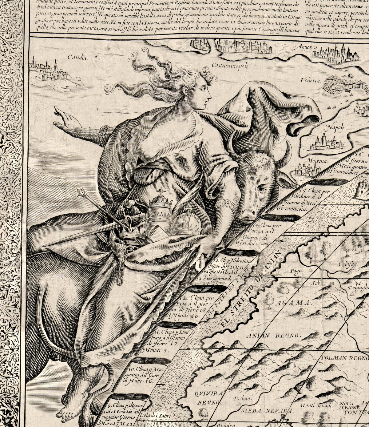
In a note at the lower right Rosaccio tells the “benigno lettore” that the map is the most copious and most modern yet made. He refuses the heart-shaped and square outlines of other mapmakers and, following Ptolemy, Gastaldi and Abraham Ortelius, chose the form “la piu simile alla sferica”, closest to a sphere. Around that oval sit the four parts of the world: Europe riding a bull with crowns and a papal tiara in her lap, Africa on a crocodile, Asia crowned and seated, and America with a feather fan and a parrot.
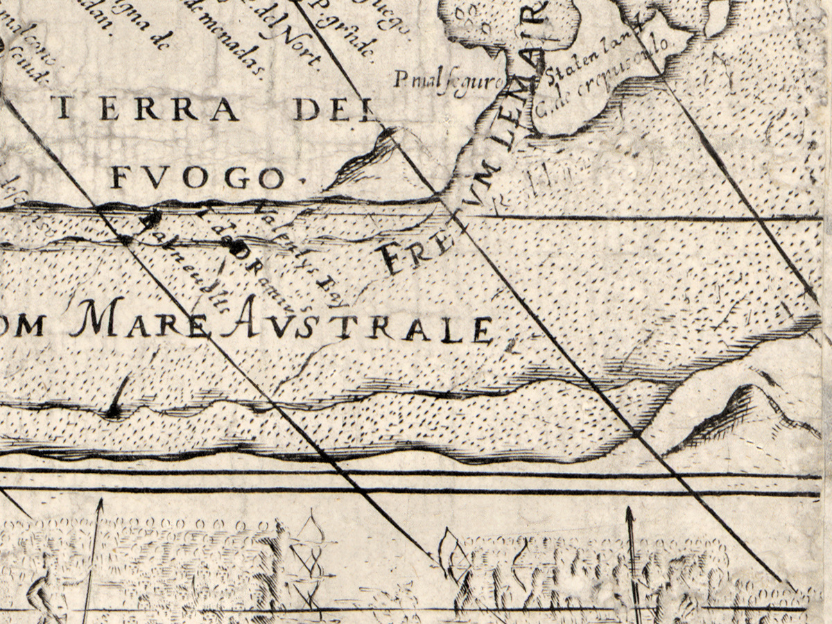
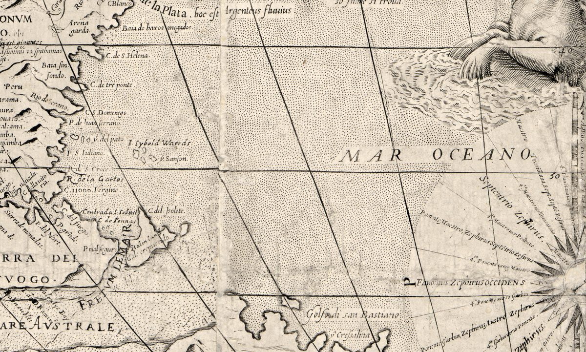
The Library of Congress calls its copy “probably the second state of the map”, with Tierra del Fuego reworked to include the Strait of Magellan and Staten Island shown as an island, “presumably based on the observations of Hendrik Brouwer in 1643”. Jacob Le Maire and Willem Schouten had named that land in 1616 and taken it for mainland; Brouwer’s voyage showed open sea to the south of it, proving it an island. On the sheet the passage beside Tierra del Fuego is lettered FRETVM LEMAIR, a name from a voyage made nineteen years after the date in the title.
What to look for on the sheet
- Across the top, the title with Rosaccio’s name and the date 1597.
- In the Atlantic, the empty cartouche signed Iom Bat Mazza Fece.
- In the far south, TERRA DEL FVOGO, FRETVM LEMAIR and a large wind rose in the MAR OCEANO AVSTRALE.
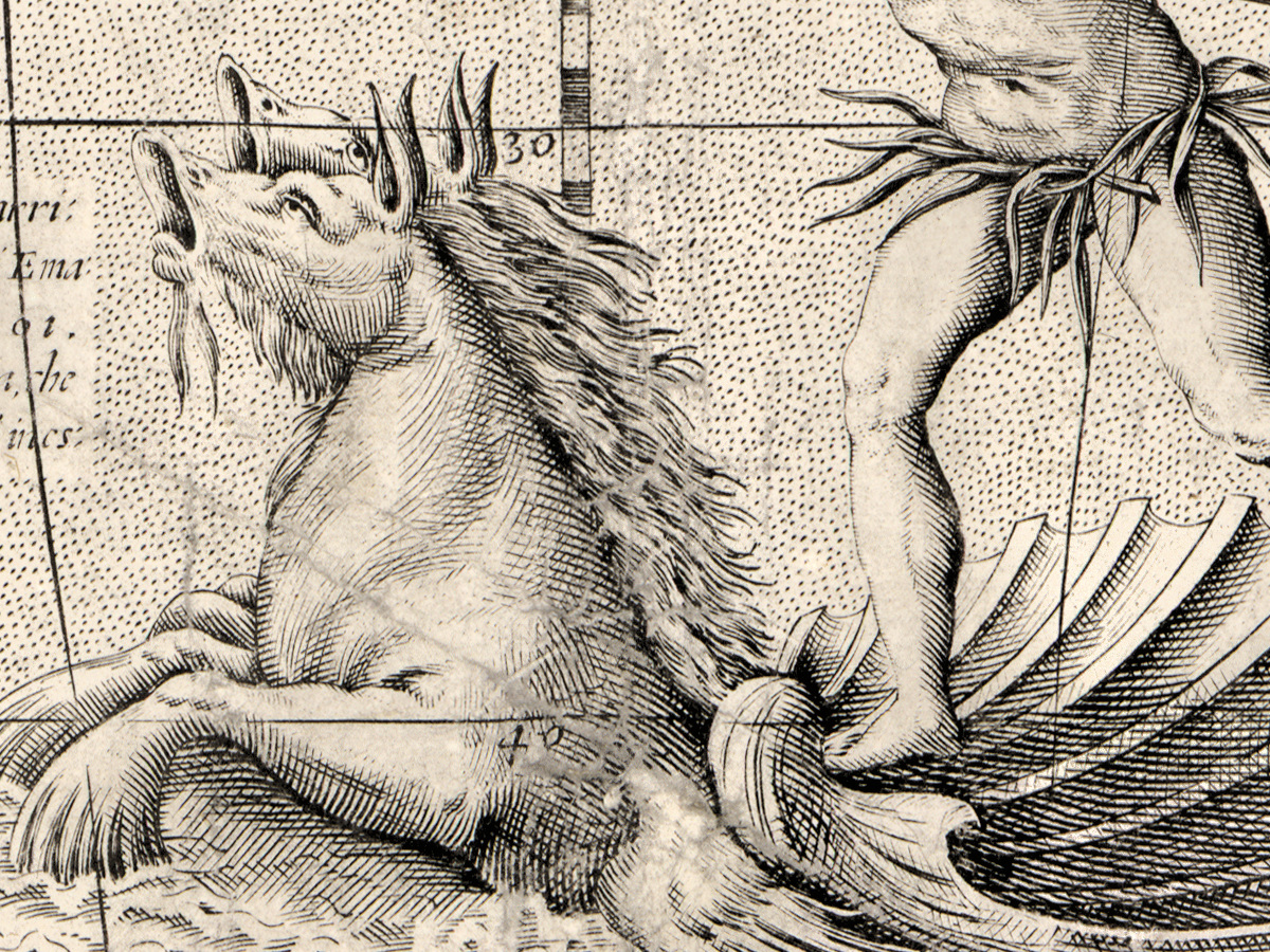
- Neptune with his trident on a shell chariot, between South America and Africa.
- At the lower left, a palisaded village with the note 1584. et 85. Waltero Ralegh Inglese nauicò alla Virginia.
- Along the edges, ribbons of numbered climates giving the longest day, among them 9. Clima p.il Quinsai et Venetia.
Rosaccio’s map stayed in use long after his death. The Newberry Library holds a hand-colored copy on ten sheets whose title carries the date 1597 and which the Newberry dates 1647; the Library of Congress sheet, its far south redrawn, is dated by the Library, with a question mark, to 1643.
Everything on this sheet: full record
Every inscription on the sheet
All lettering is engraved. Inscriptions are given letter for letter, with the capitals and punctuation of the sheet as far as the scan shows them; the long s is written as s. The long text panels above and below the map, the hundreds of place names and the numbers along the graticule are not transcribed in full; only their headings and a few lines are quoted. Words that could not be read with certainty are left out.
- Title, across the top above the map: VNIVERSALE DESCRITTIONE DI TVTTO IL MONDO DI GIOSEPPE ROSACCIO COSMOGRAPHO. 1597 [universal description of the whole world by Giuseppe Rosaccio, cosmographer, 1597]; the second T of DESCRITTIONE is a small letter added above the line. The Library of Congress catalogues the title as Vniversale descrittione di tvtto il monde.
- Top text band: descriptions of the regions of Europe table by table, for example La nona Tauola, è la Noruegia, Filandia, Suecia, et Gothia [the ninth table is Norway, Finland, Sweden and Gothia]; at its upper left Rosaccio writes that he had first to veder personalmente molti lontani paesi [see many distant countries in person]. At its right end: Intagliò, Giouan Batista Mazza Venetiano, / Maestro delle Stampe della Zecha di Venetia. [engraved by Giovanni Battista Mazza of Venice, master of the dies of the mint of Venice]; the date after it is faint.
- Cartouche in the Atlantic, west of the Canary and Cape Verde Islands: an empty frame with two putti, a pair of compasses and an armillary sphere above, two figures on each side, signed on the lower frame Iom Bat Mazza Fece [Giovanni Battista Mazza made it].
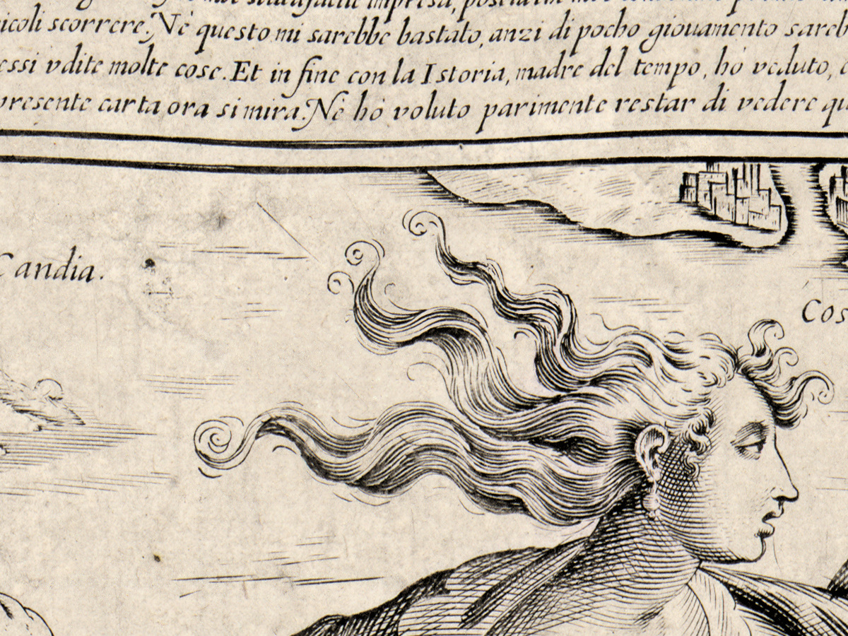
- Upper left corner: Europe riding a bull, with crowns, a papal tiara, an orb and a sword; city views Candia., Costantinopoli, Anuersa, Venetia., Napoli., Mesina..
- Upper right corner: Africa seated on a crocodile, in a broad hat; city views Alessandria, Caicro, Maroco, Algieri, Barnagaso, Quiloa, Congo.
- Lower left corner: Asia seated and crowned, with a sceptre; city views Troia., Mosca., Catajo, Damasco., Gierusaleme., Tauris., Trabisonda., Babilonia., Goa., Chochinchina..
- Lower right corner: America seated under a tree with a feather fan, a parrot and gold chains at her feet; city views Cusco, Quito, Trugilo, Mocosa, Nicaragua, Quiuira, Citta dei Re., Zalisco.
- Climate ribbons along the left and right edges of the oval, numbered with day lengths, for example 9. Clima p.il Quinsai et Venetia ail maggior Giorno di Hore 15. M.22 [ninth climate, through Quinsai and Venice, at the longest day 15 hours 22 minutes] and 6. Clima per Pascitta, nel Peru, il suo giorno mag. è H.13. M.58.; on the right, large Roman numerals running from I near the equator to XVI, north and south.
- Headings of the text panels: DECHIARATIONE DELL’EVROPA, beginning Questa machina vniuersale di tutto il mondo si diuide in quatro [parti] [this universal machine of the whole world is divided into four parts]; headings for Africa and Asia in the same form; TRATTATO DEL MONDO NOVO.
- Address to the reader, lower right: Ecco benigno lettore … per essere la piu copiosa, come anco perche è la piu moderna [being the most copious, and also the most modern] … cercar strauaganze di forme, come di cuore, di quadro, e d’altro [to seek extravagant forms, heart-shaped, square and others] … accostatomi al prencipe di Cosmografi Tolomeo, ho con l’essempio del Gastaldo, e di Abramo Hortelio fatto il presente Mappamondo [following Ptolemy, prince of cosmographers, and the example of Gastaldi and Abraham Ortelius, I have made the present world map] … Godilo dunque, e viui lieto [enjoy it then, and live happily].
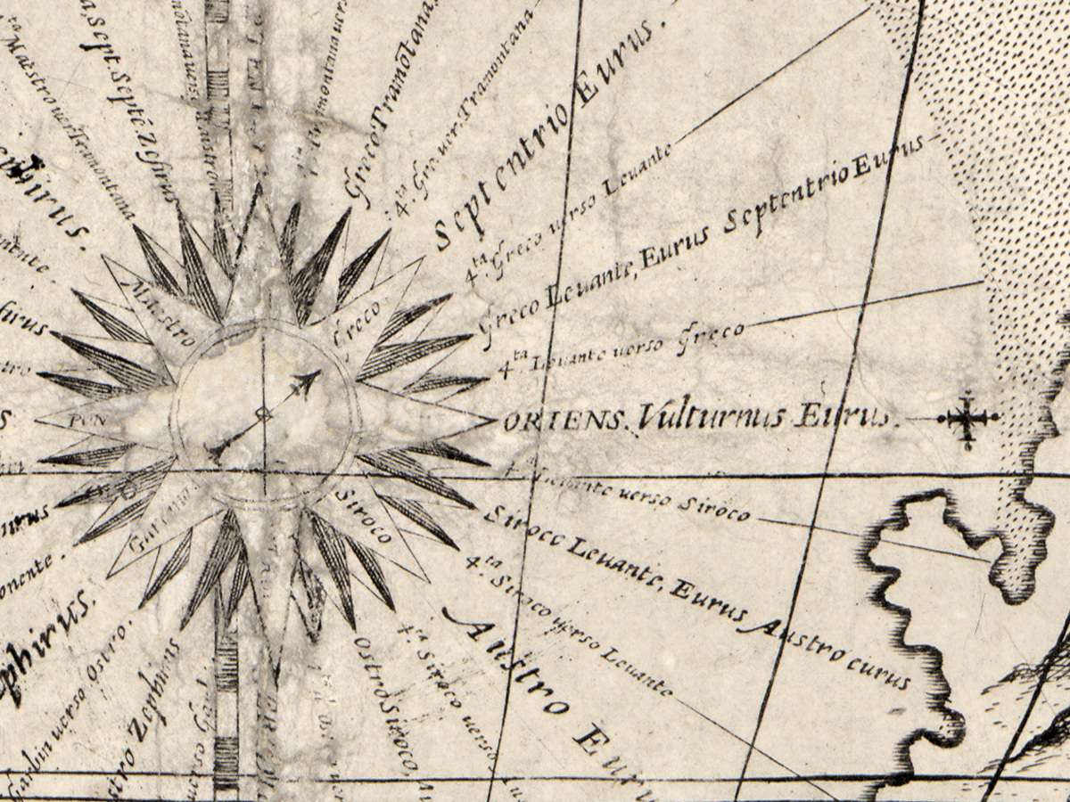
- Far south: TERRA DEL FVOGO., FRETVM LEMAIR, Staten lan (the end of the name hidden by a meridian), C. del Jsolete., I. Sybold Waerds, Golfo di san Bastiano, MAR OCEANO AVSTRALE, and a wind rose with names such as Ponente Maestro, Septentrio Zephirus, ORIENS. Vulturnus Eurus.
- South Atlantic: Neptune with a crown and trident on a shell chariot; nearby S. Helena and notes on early voyages, one dated l’anno 1501.
- North America and the far north: EL STRETTO DE ANIAN, ANIAN REGNO, QVIVIRA REGNO, SIERA NEVADA, NOVA ALBIONE, Isola dei i Satiri; Asia: Qui regnaua al tempo passato il prete iani sicome Marco Polo refferisse l’anno 1299 [here Prester John reigned in past times, as Marco Polo reports in 1299] and Questa Città del Quinsai fu primieramente conosciuta da Marco Polo Venetiano [this city of Quinsai was first known through Marco Polo of Venice]; TERRA INCOGNITA. at the far left of the oval, south of New Guinea, above the Europe text panel.
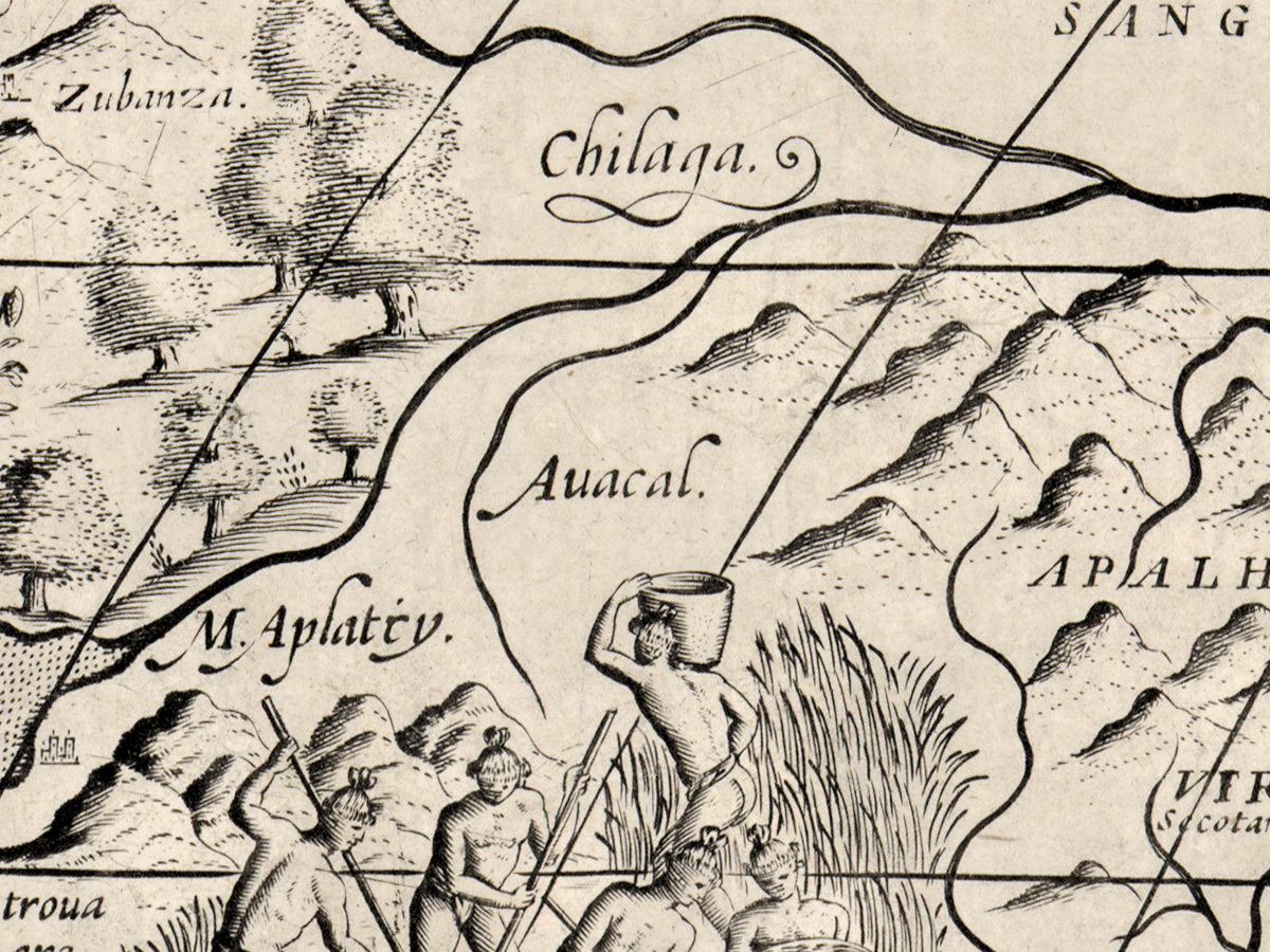
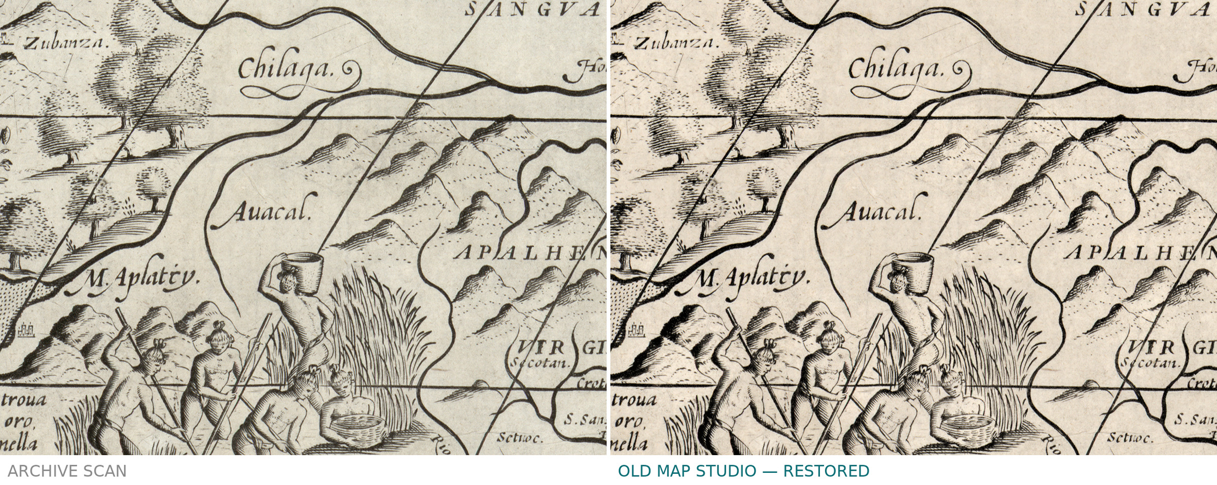
- Lower left, inside the oval: a palisaded village with 1584. et 85. Waltero Ralegh Inglese nauicò alla Virginia per nome di Elisabeta Regina de Inghilterra et refferisce essere le citta di quel paesi a questo modo. [in 1584 and 85 the Englishman Walter Ralegh sailed to Virginia in the name of Elizabeth, Queen of England, and reports that the towns of that country are like this]; beside it men dragging a crocodile, with La in quelle Prouincie dell’America … prendono Cocodrili … [there in those provinces of America … they catch crocodiles].
On the sheet itself the dates do not agree. The title is dated 1597, and the faint date after the engraver’s imprint appears to read the same, while the far south carries the name of the strait that Le Maire and Schouten passed in 1616, and the Library of Congress dates this state [1643?].
Editions and other known copies
- Library of Congress, Geography and Map Division, G3200 1643 .R6: [Venice] : [Giovanni Battista Mazza], [1643?]; 1 map, 103 × 180 cm; “Wall map assembled from 10 engraved folio sheets.”; “Probably the second state of the map.”; differs from the first state in the reworking of Tierra del Fuego; differs from the Harry Ransom Center copy “by the presence of a blank cartouche off the west coast of Africa”. This is the copy reproduced here.
- Newberry Library, Chicago, Novacco 4F 16: title catalogued as “Vniversale descritione di tvtto il mondo di Gioseppe Rosaccio cosmographo 1597”, dated 1647; hand colored; 1,061 × 1,838 mm (outer limit of the engraved border), on 10 sheets 421 × 594 mm and smaller; no publisher named.
- Harry Ransom Center, University of Texas at Austin: a copy named in the Library of Congress record as differing from it; no record of it was opened for this description.
- The record of the Library of Congress names a first state but no copy of it; none of the records opened names a holder of the first state.
Catalog entries and sources
Library of Congress LCCN 2014588578, call number G3200 1643 .R6. Newberry Library Novacco 4F 16. Sources for the story and this record: the Library of Congress catalog record; the Newberry Library catalog record; Elide Casali, “Rosaccio, Giuseppe”, Dizionario Biografico degli Italiani, vol. 88 (2017); Hydro International, “Hendrick Brouwer and the circumnavigation of Staten Land”; Encyclopaedia Britannica, “Willem Schouten”.
This copy
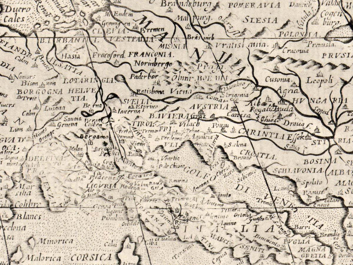
The scan shows no coloring; the record does not say whether the sheets are colored. The impression is made up of ten joined sheets, and the joins show as straight vertical and horizontal lines across the map. Pale patches and abrasion are visible in the Atlantic beside the blank cartouche and around Tierra del Fuego, and some lines of the text bands are rubbed. The ornamental border runs round the whole map. No stamps or handwritten notes were seen in the areas examined.
Your file
| Original | Giuseppe Rosaccio, [Venice], [Giovanni Battista Mazza], [1643?]; Library of Congress, Geography and Map Division, G3200 1643 .R6; wall map of 10 engraved sheets, 103 × 180 cm |
| Scan | full sheet 22605 × 13577 px; the map inside the trimmed border 22124 × 12951 px |
| Print size at 300 dpi | the map prints to 187 cm (74 in), the full sheet with margins to 191 cm (75 in) |
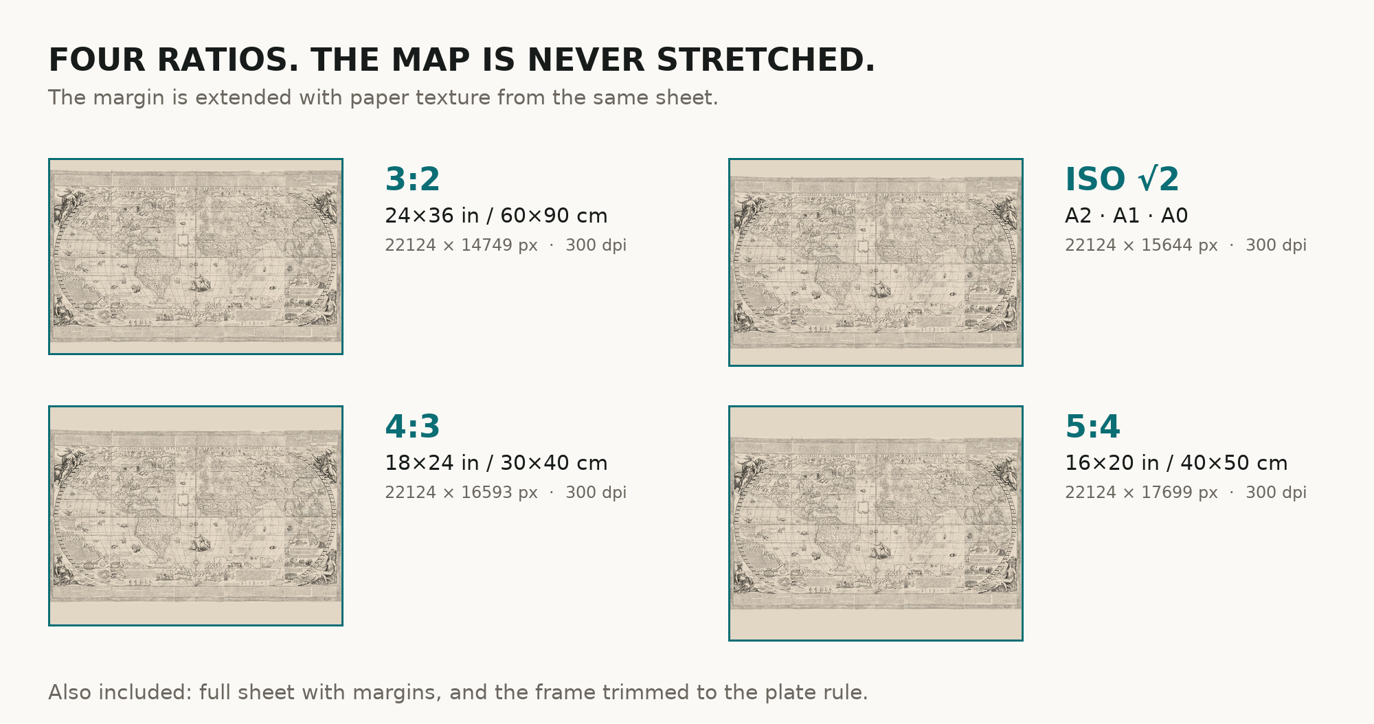
| You download | six ZIP archives: full sheet, trimmed, 3:2, 4:3, 5:4 and ISO A |
| Inside each one | one JPEG at 300 dpi, the restoration passport as a PDF, a READ ME |
How to print
- Print at 300 dpi at the size above and do not let the shop scale the file up.
- Pick the archive whose proportions match your frame, so nothing is cropped or stretched.
- Ask for matte fine-art paper, sRGB, auto-enhancement off.
- Where to print it: print shops near you and checked prices at online labs.
Source and rights
The file is made from the digitized image published by the Library of Congress, Geography and Map Division, call number G3200 1643 .R6. The Division’s digitized content is free to use and reuse unless a rights advisory says otherwise, and this record carries none; credit line: Library of Congress, Geography and Map Division. The place, publisher and year are given in square brackets, supplied by the cataloguer, and the year with a question mark. The record does not say whether the sheets are colored. There is no TIFF master in the package. Catalogue record: Library of Congress →
Questions
What exactly do I get after payment?
Six ZIP archives, each with one JPEG at 300 dpi, the restoration passport as a PDF and a READ ME. There is no TIFF master in the package.
How large can I print it?
The map to 187 cm (74 in) on the long side at 300 dpi, the full sheet with margins to 191 cm (75 in), from the scan’s own resolution, not an upscale. The original wall map is 103 × 180 cm.
Why “c. 1643”?
The Library of Congress gives the year as [1643?]: supplied and uncertain. Its notes connect the depiction of Staten Island as an island, presumably, with Hendrik Brouwer’s observations of 1643.
Is it one engraving or several?
Ten engraved folio sheets joined into one wall map, as the record describes it.
Features
- Italian
Attachments
Reviews
No reviews found
More maps from the 1600s
-
 Antique World Map 1645 — Blaeu, Novvelle et Exacte Description
-
Antique World Map 1641 — Hondius, Nova Totius Terrarum Orbis
-
Antique World Map c. 1635 — Blaeu, Nova Totius Terrarum Orbis
-
Antique World Map 1651 — Sanson, Mappe-Monde ou Carte Générale
-
Antique World Map 1652 — Sanson, L'Hydrographie
-
Antique World Map 1655 — Hondius, Nova Totius Terrarum Orbis