Antique World Map 1652 — Sanson, L'Hydrographie

Description
An old world map of 1652 that maps the water, not the land
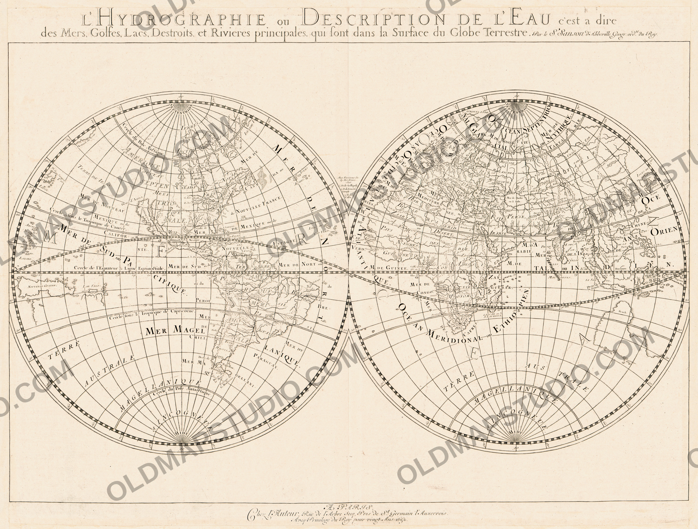
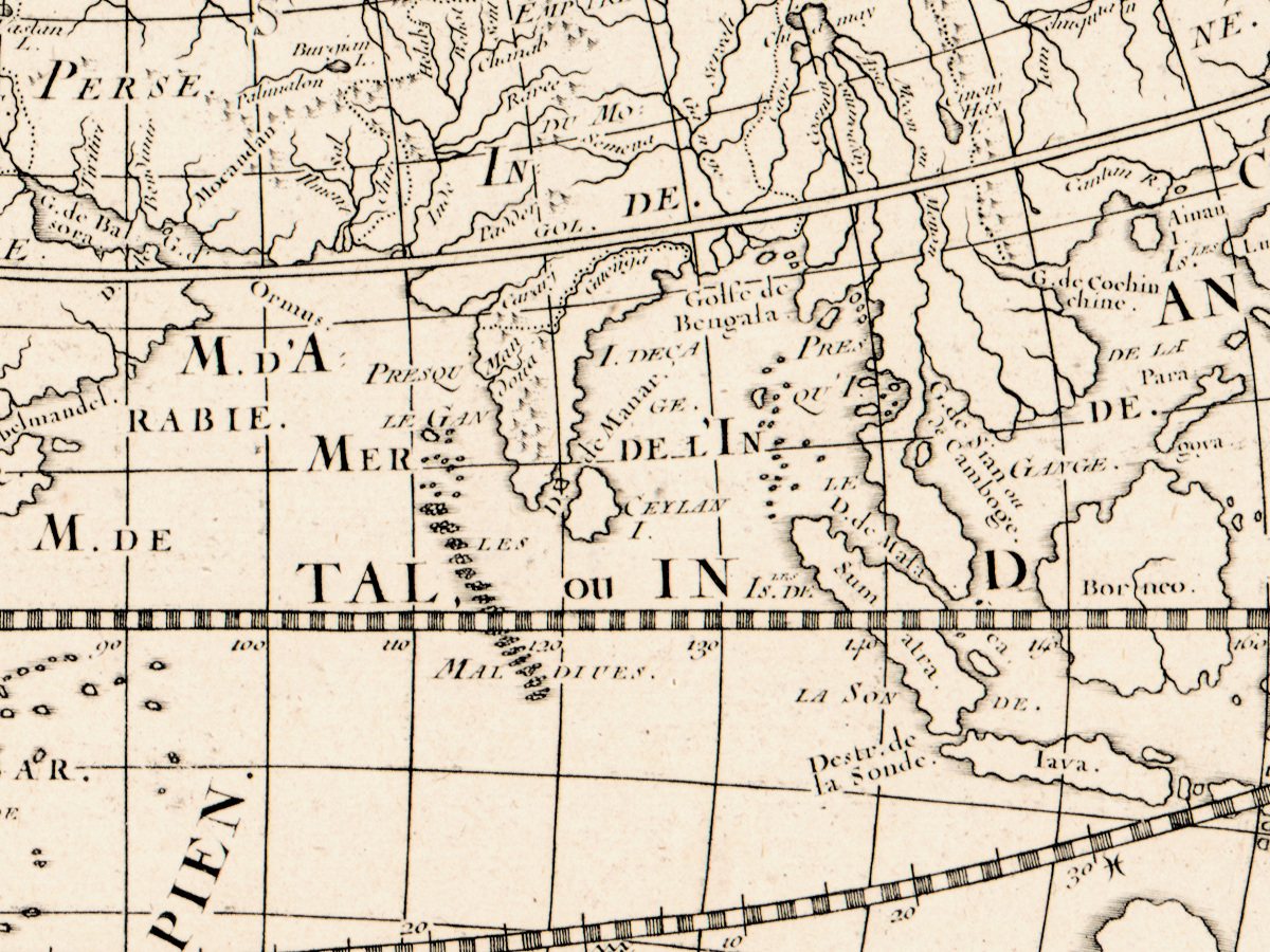
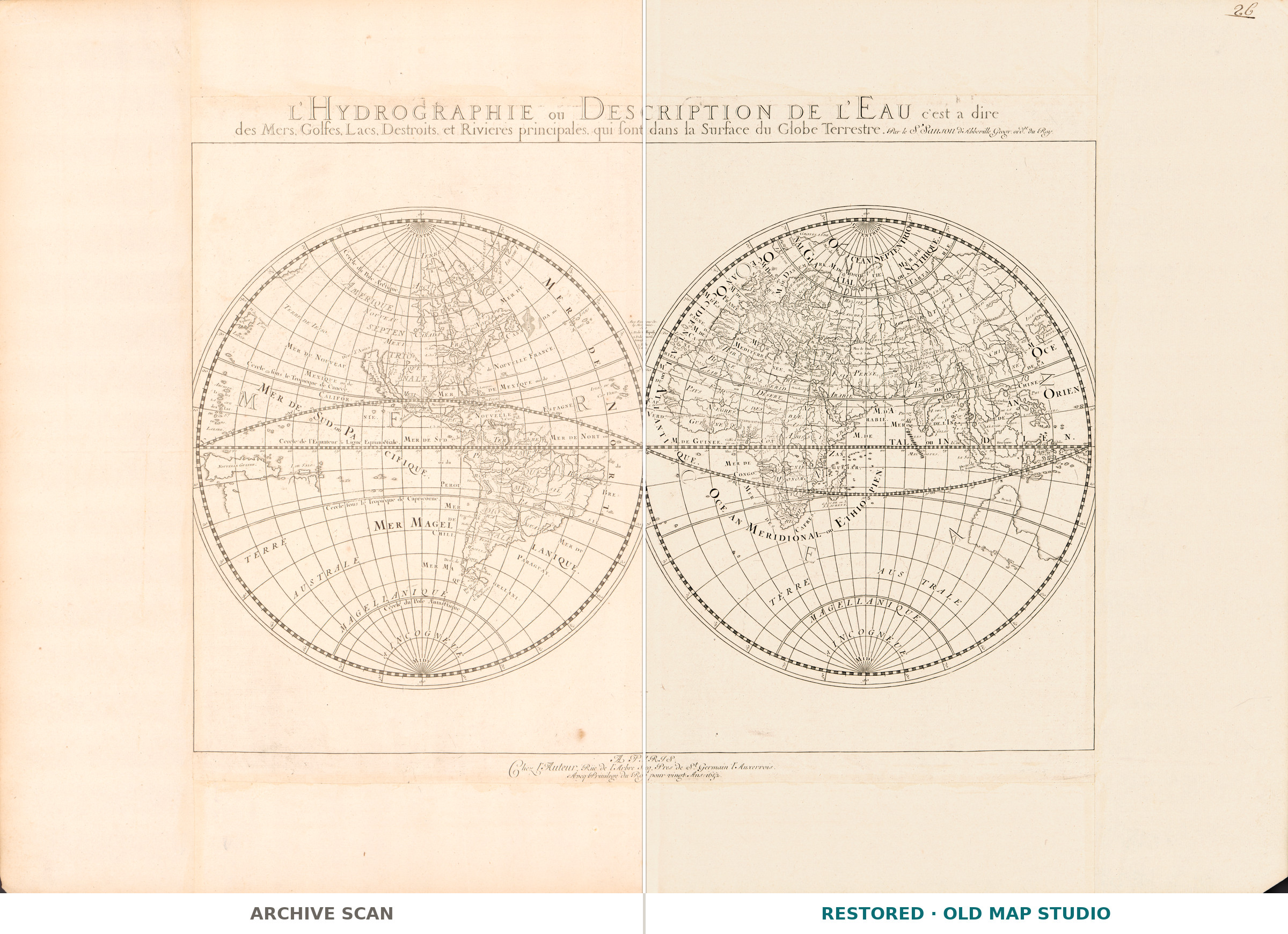
Most world maps of the seventeenth century are an inventory of countries. This one announces a different subject in its first line: L'hydrographie ou description de l'eau, c'est a dire des mers, golfes, lacs, destroits et rivieres principales, qui sont dans la surface du globe terrestre — the hydrography, or description of the water, that is to say of the seas, gulfs, lakes, straits and principal rivers on the surface of the terrestrial globe. Nicolas Sanson drew it and sold it himself in Paris in 1652.
What is on the sheet
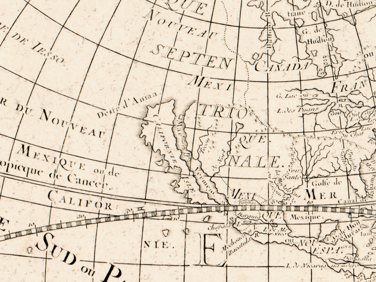
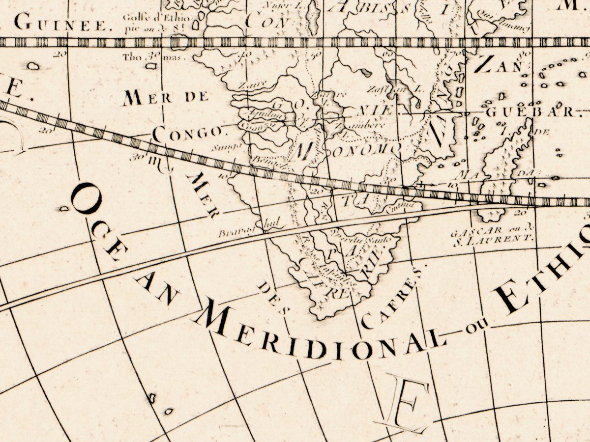
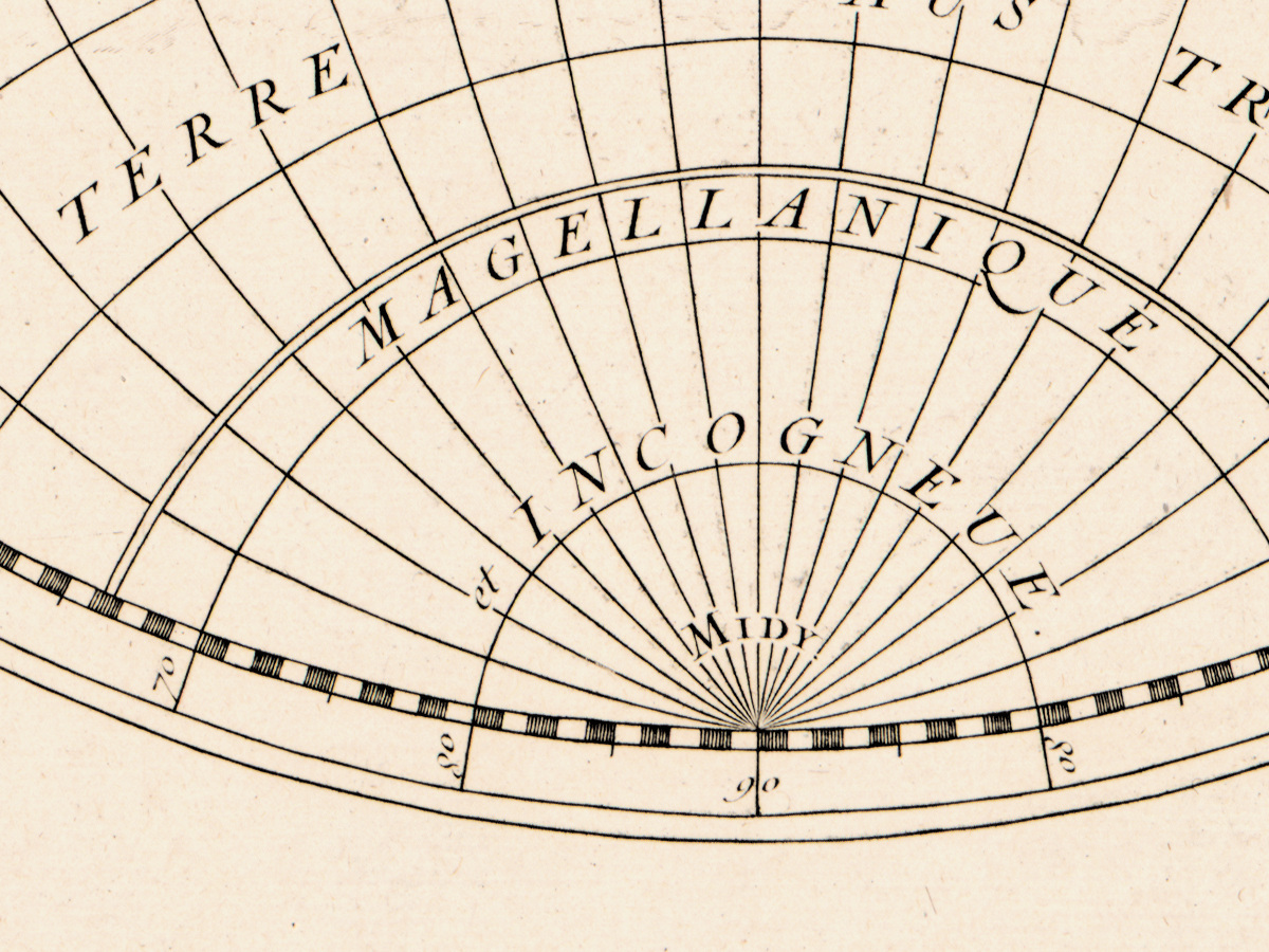
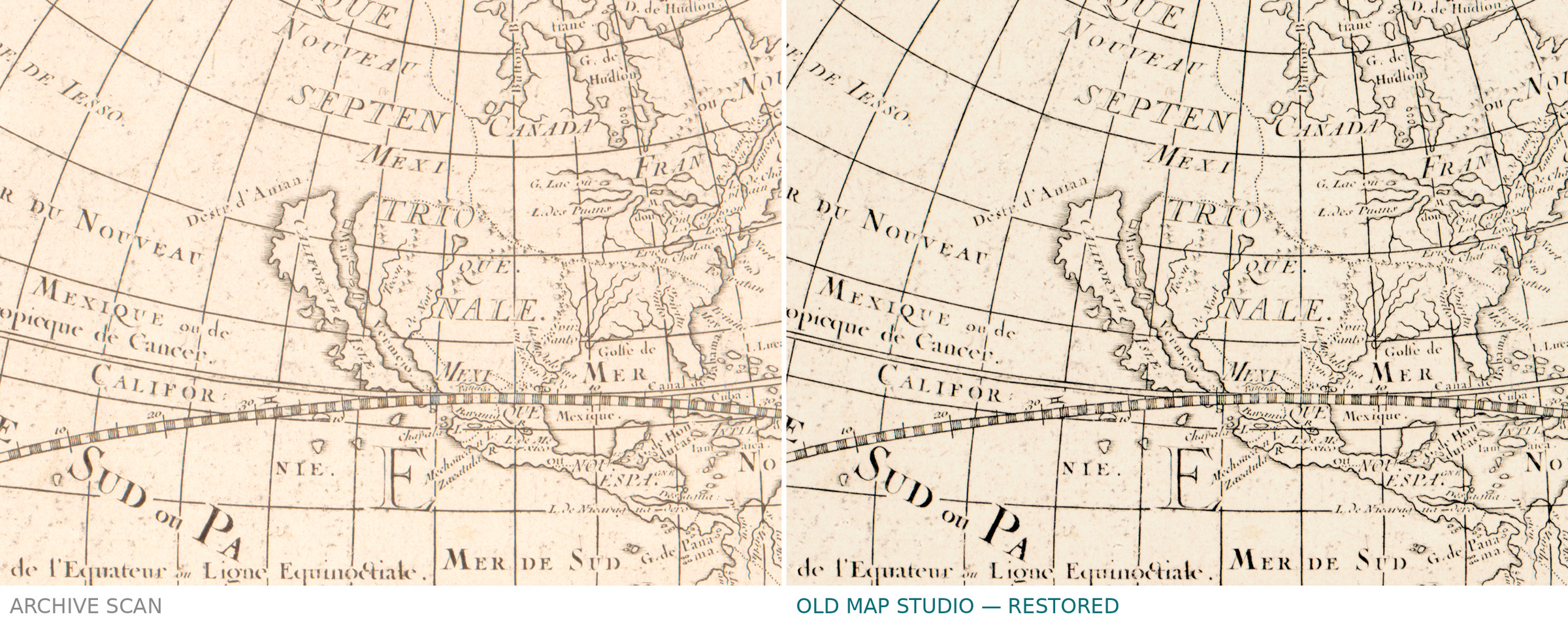
Two hemispheres of 26 cm each on a sheet of 43 by 58 cm, lettered in French, the relief shown pictorially in the manner of the period. The Library's record picks out one detail, and it is the one collectors look for: California is drawn as an island. That error entered European mapping in the 1620s and stayed on printed maps for the better part of a century, long after sailors knew better — a good reminder that a map is a record of what was believed, not only of what was there.
Sanson and this sheet
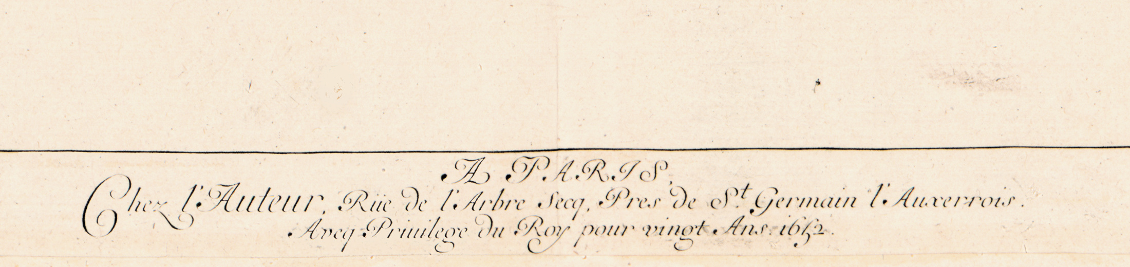
Sanson, 1600 to 1667, is the man usually named as the founder of the French school of cartography, the one who moved the centre of the trade from Amsterdam to Paris. The imprint is his own address: at the author's, rue de l'Arbre-Sec near Saint-Germain-l'Auxerrois, with a royal privilege for twenty years. Catalogues place the sheet as Shirley 394. On the back of this copy someone has written a shorter title by hand — Hydrographie ou description des principales mers — which the Library records as well. The record does not say how the plate was made, and we do not fill that in.
Your file
| Original | Nicolas Sanson, published by the author, Paris, 1652 |
| Sheet | 43 × 58 cm, two hemispheres of 26 cm, hand colored |
| Scan | full sheet 8874 × 6151 px; the map inside the trimmed border 6378 × 4832 px. From the library's own scan, not an upscale |
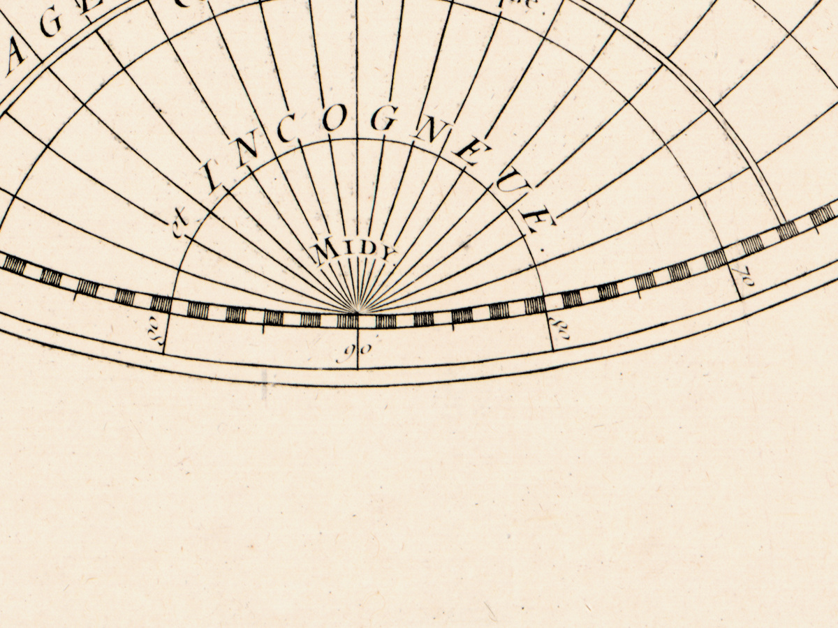
| Print size at 300 dpi | the map prints to 54 cm (21 in), the full sheet with margins to 75 cm (30 in) — the difference is blank paper around the plate |
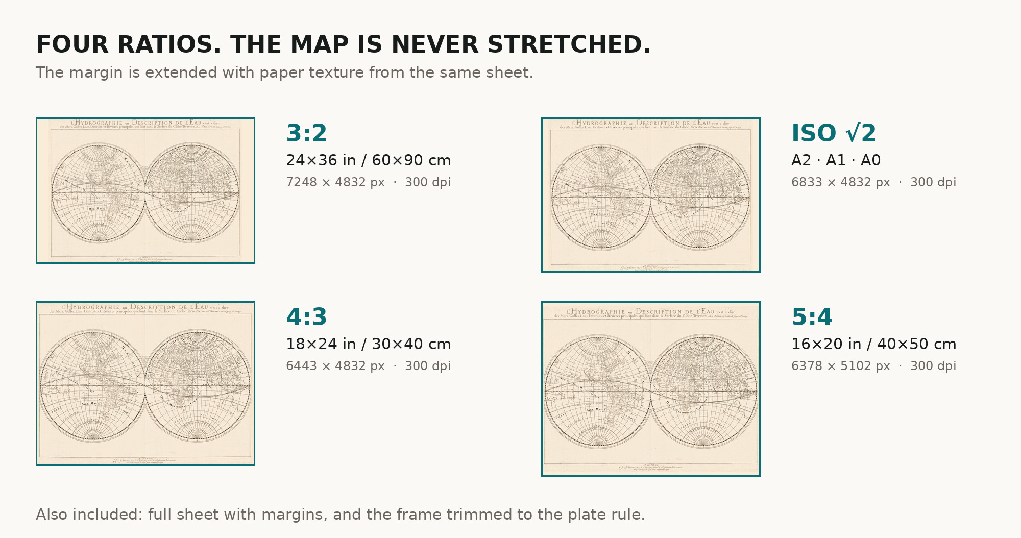
| You download | six ZIP archives: full sheet, trimmed, 3:2, 4:3, 5:4 and ISO A |
| Inside each one | one JPEG at 300 dpi, the restoration passport as a PDF, a READ ME |
How to print
- Pick the archive whose proportions match your frame, so nothing is cropped or stretched.
- Ask for matte fine-art paper, printed in sRGB with auto-enhancement off.
- Where to print it: print shops near you and checked prices at online labs.
Source and rights
Library of Congress, Geography and Map Division, call number G3200 1652 .S3, LCCN 2017585798. The Library states the content is free to use and reuse, crediting Library of Congress, Geography and Map Division. There is no TIFF master in the package. Catalogue record: Library of Congress →
Questions
What exactly do I get after paying?
Six ZIP archives, each with one JPEG at 300 dpi, a restoration passport as a PDF and a READ ME. They differ only in framing.
Why are there two print sizes?
Because you get two crops. The map alone comes to 54 cm on the long side; the full sheet, blank margins included, to 75 cm. Frame the first, print the second only if you want the paper edge in the picture.
Is this a real antique map or a generated image?
A scan of a real sheet of 1652 held by the Library of Congress under call number G3200 1652 .S3. Restoration evens the paper tone; it does not redraw the map.
Features
- French
Attachments
Reviews
No reviews found
See also
-
 Antique World Map 1628 — Danckerts, Charte Vniuerselle
-
Antique World Map 1811 — Van Schaack, Most Recent Discoveries
-
Antique World Map 1800 — Wallis, A New Map of the World
-
Antique World Map 1550 — Münster, Typus Orbis Universalis
-
Antique World Map 1870 — Barber, Pharmaceutical Map
-
Antique World Map 1596 — Typus Orbis Terrarum